Peterborough ..Gawler and Googs ..SA/Vic Border Track ..Dust Devils and a crook filter ..Birdsville and Corner Country ..A desert Adventure ..Western Australia Wandering 2005 ..
Peterborough 2000 to 2005
On our return to Australia, it snowed in Peterborough for the first time in many years. When we bought the house, the weather was nice. Warm days and mild nights. We had forgotten about winter and the fact the small hamlet of Yongala, ten kilometres to the south, was the coldest place in South Australia in winter!
I also discovered that there was an issue with my Mother’s Will and that the Executors had helped themselves to all of my inheritance and had lost it in a bungled deal in the USA. I flew to South Africa on my own accord and fronted the two cheats. I drove to Kimberley to lay a charge with the Fraud Squad. I was told that as soon as they had enough evidence, they would get me over to attend a court case. I also appointed and Administrator to sue the Fidelity Insurance Fund to retrieve nearly R600,000. He was successful and at Easter 2002 I got my money back.
On my return to Australia, we packed the car and headed to warmer weather in Queensland, and to try and sell our stock off. We stayed with Aunty Vi on the Gold Coast and I had the springs reset on ‘Rosie’ the Nissan G60. The company that did the work overdid their job and the 4×4 was like a mountain goat jumping at every slight dent in the road. I took the car back and asked them for less tension in the suspension. They complied. We drove north as far as Bundaberg and then turned around and headed for home via Innamincka. We ran out of bitumen road at Noccundra. It was hot and the old car kept on vaporising fuel. We boiled the billy and had a cuppa and when the engine cooled down it came good again. A number of drivers stopped to see if we were OK.
On our return home, we started in earnest setting the house up. We unpacked everything from the caravan including our double-bed, banana-lounges, cutlery and crockery and our 240 volt electric fridge. We then got the neighbours to work in the establishment of our garden and then gave the caravan to them as an extra room for their large family.
Once we had cleaned the garden, trimmed weeds and cleaned the house we went to the Hardware store and bought various implements. I discovered that at one stage the place was covered in Almond trees. Then at a later date by old fridge and parts of washing machines. We made a chicken run and a duck enclosure and soon we had a menagerie. At the end of December 2000, Jeddah, a Blue Heeler cross female dog came to live with us. She was a great sock puller and we played rough games which in turn ripped the skin off my arms at times as she bit hard. But she was a good mate and she died in Tasmania at the age of 16.
On the Wallaby July 1995 to November 1999
For the next 5 years, after completing our contract with Random House Publishing, we were on the road, driving, making designs, cutting out designs, painting, lacquering and selling to shops and doing markets from, Geelong in the South of Victoria to Darwin in the Northern Territory and Cairns in Far North Queensland. We visited Fraser Island and many iconic places in Queensland, New South Wales, Victoria, South Australia, Northern Territory and ACT, missing out only on Western Australia and Tasmania. We worked out that we spent 10% of our camps in caravan parks and the rest bush camps and occasionally with mates.
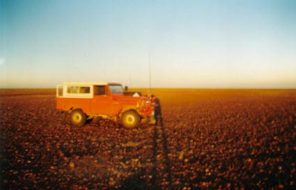
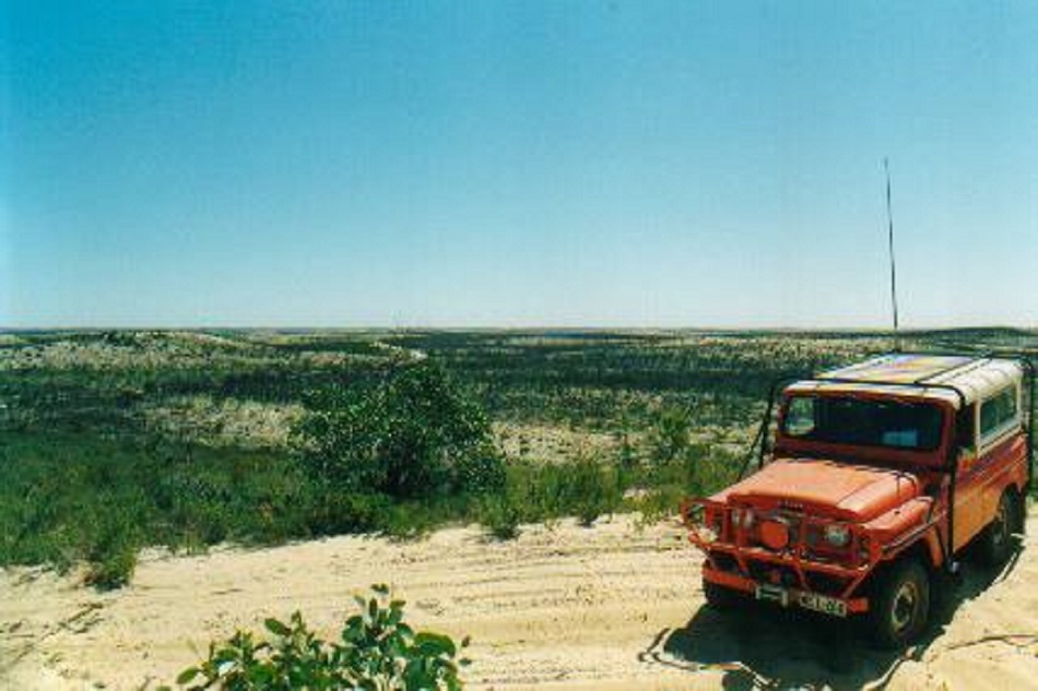
The old Toyota went well but at 551,000 kilometres it was time to buy something else. We were in to Adelaide from Port Germein. My mistake was to take ‘She who must be obeyed’ with me to and she talked me into buying a Ford Station Wagon. Needless to say, we spent about $200 on parts in the first month and so on and then in Gayndah, Queensland, it spat the dummy and blew a head gasket. I managed to sell it to a car dealer for $2200 and then rang a mate in Bundaberg to come and rescue us.
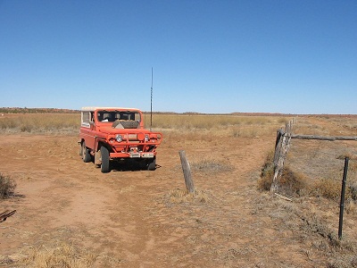
After about two weeks I found a Nissan Patrol G60, a 1978 model with an after -market 5 speed gear-box. It needed a few small repairs and I had it on the road in no time. Although it looked a bit silly towing this huge van it had a thumping, big, 4-litre engine capable of towing anything.
There is not much I can write about being on the road for 5 years. The caravan I bought had serious water leaks and the roof area was unsupported so I made up a frame to keep it up. Water for the wash-up sink came from a 20 litre bucket with a small electric pump which was powered by a battery. We drove many highways and byways and found lots of interesting bush camps. We had solar showers in the bush or a various places across the States when we saw one. We called in on mates and stayed a while (a week or two), we took lots of photographs. One of the hi-lights of our travelling was when Richard (the guy in the plane crash) caught up with us at an NT Expo. And so we renewed our friendship.
In 1999 my mother passed away in South Africa having endured the last ten years of her life with Alzheimers disease. I flew to the funeral and my brother Bernie flew in from the USA where he had been living for the past 19 years. Both my brother and I inherited quite a sum of money in Rands, the South African currency but that had devalued by 60% against the Australian Dollar for me. However, I managed to secure some of the moneys and a few weeks after I returned home it arrived.
We had been looking around at houses as we now had to buy one to set it up for our old age. My brother had remarked that I was limping which was what I was unaware of. It was time to settle down although I was still keen on travelling.
We bought a house in Peterborough, South Australia in November of 1999 and received full ownership of the property for $17,250. It needed some work but it was sound and it was ours.
Our house, built of quarried stone and bricks has no foundation. Built in the year of 1900, the end of the Victorian Era, and Styled in the original Miners Cottage Skillion style, flat front and sloping roof. In the late 1920’s two front rooms both with fireplaces and chimneys were added on, a hallway and a front veranda in the State Bank style. A pitched roof was built this time. At the back door of the house there are two rings built in to the wall where the horse’s Manger was attached to. The was an outside toilet and outside bathroom. When the pitched roof was built it enclosed all of those rooms. A laundry, bath, outside washroom and outside veranda were all part of the rear of the house. The kitchen has a Metters Wood stove and shares the chimney with the lounge fireplace. It also had a gas stove which we eventually replaced with a new split oven and cooker stove.
Over the next couple of years, we painted the inside of the house. I built a Pantry in the corner of the kitchen, a Linen Cupboard in the Laundry area, a Shower recess in the Laundry area, a Clothes Cupboard in Judith’s room.
I also built bookcases in the lounge. Nothing flash, just out of MDF and some paint.
The outside walls had had cement screeding done to the lower part of the walls and this in turn ate away the bottom of the walls through Rising Damp. I took it upon myself to make up my special Victoria West mix of sand, cement and lime. I also got access to some land where there were ruins and systematically removed stones from there. I used the smaller stones to build up the bottom of the outside walls with stones and my ‘Daga’ and it took me seven years to repair all the walls and paint them Federation Cream and Heritage Green.
We laid out pathways around the house. There was still a small lawn at the rear of the house which we kept at bay with a roller blade mower. In the summer of 2001, we had a locust swarm pass over and they killed the lawn. So, I dug the lawn out an put it down in the middle of the back garden……and forgot about it as there were too many other jobs on the. When I saw the lawn again it had taken root and was a devil to remove and take to the rubbish tip. We flattened the area out and eventually lay concrete tiles and eventually built a pergola and trained our grapes over it.
When we arrived here the first thing I did, was to clean up the garden. There were still isolated three corner Jacks growing. My neighbour needed money to take a truck full of rubbish to the tip. I gave him the money and he was able to borrow a Front-end Loader and I got him to scrape the top off the garden tip it into the truck. Then I took the trailer, which I had acquired from Noel Fullerton, to the Municipal Soil Dump and took twenty-five trailer loads of top soil, back to our backyard and spread it over the whole garden. I was pretty fit after that.
We went driving, looking for river-stones and found an isolated creek coming out of the Horseshoe Range out of Carrieton. We loaded 16 trailer-loads of stones and right on the last one a bloke stopped and asked if we had a permit to take stones and I lied and said yes, of course. Satisfied with the answer he drove off. We were unaware of regulations for the removal of rocks from creeks.
At this stage I could barely walk and bought a wheelchair to get around. In 2003 I had a full knee replacement to my left knee and in 2005 my right knee. Each one took twelve months to fully recover. By 2006 I was walking again without the need of a walking stick. Judith’s Auntie Vi passed away and left her a small inheritance. We decided to update all out white-goods, had a solar water heater installed and then we bought a near-new Nissan X-trail and a used Nissan GQ diesel.
Having done a huge amount of work to our house I teamed up with Milton Good, an old mate from Darwin days, and we went camping and exploring.
Chasing the Shadow 2002
The fourth of December, year two thousand and two, turned out to be the day for chasing the shadow.
They came from far and wide to see the moon block out the sun. Ceduna on the far west coast of South Australia became a mini city for a few days. Sleepy little Lyndhurst in the far north of the State, skyrocketed its population from 15 to 8015. A four-day party ensued with music blaring to keep the battle-weary awake.
So, we had decided to go and have a look as well, BUT not liking crowded places we headed out to a spot near Mt Hopeless Station near the Strzelecki Track. Headed east out to Yunta along the Barrier Highway on the morning of the 4th December with a strong early summer tail wind. Topped up the fuel tank at Yunta and headed north along the road to Arkaroola. We stopped for smoko at Waukaringa Ruins and inspected the old gold mine diggings. It was hard to believe that this isolated place once catered for a population of close to 5000.
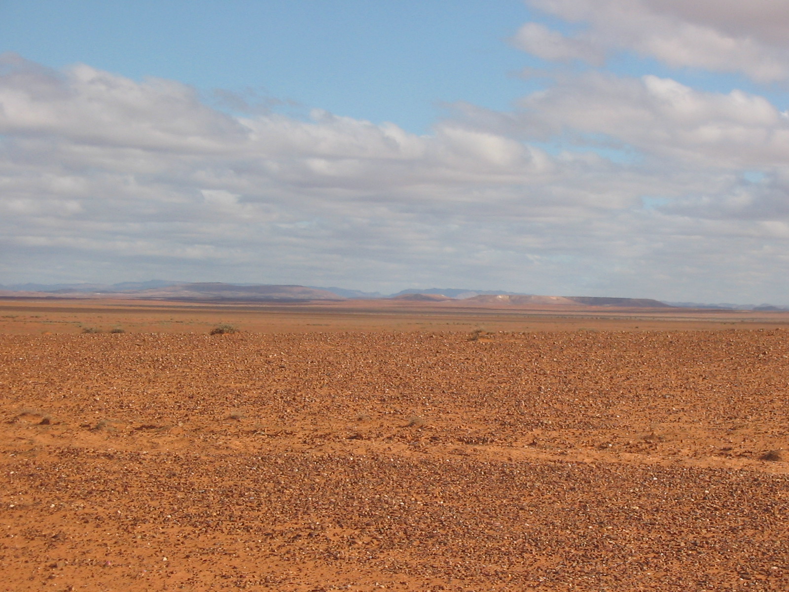
Blue bush, saltbush and mallee scrub covers the Minburra Plain. Very marginal country for sheep and cattle. But hardy pastoralists battle against the odds trying to eke out a living and always hoping for those elusive rain, which can turn the land into bloom.
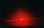
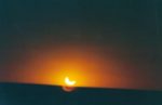
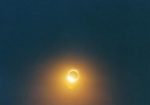
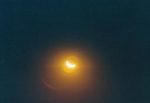
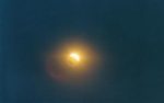
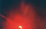
The road is open and flat and very lonely. We saw three other vehicles in 450km. Once past the turn-off to Arkaroola and the Gammon Ranges National Park HQ the road deteriorates significantly as there is less urgency to maintain it. Finding a shady spot for lunch was a challenge but at last a tall river gum made itself available in a washed out creek bed. There are numerous small flood creeks running out of the hills east towards Lake Frome and about a month prior to our visit a thunderstorm followed by heavy rain washed down these creeks leaving debris and scouring out the road crossings. Once past Wooltana Station (a place where one is unlikely to be welcomed…according to the numerous warning signs along the road) the terrain gradually flattens out again. The road continues on past Beverly Uranium Mine, North Mulga Station and on to Moolawatana Station. The vegetation becomes sparser from this point and the terrain changes to a flat plain with low undulating rises. Gibber rocks are everywhere and one wonders what the cattle eat. But they looked quite healthy and well fed. Along this road we saw two vehicles set up to watch the eclipse. We pulled up on the gibber and parked the Nissan broadside to shelter us from the howling gale. Our GPS reading was as close as dammit to where the centre of the eclipse shadow was to be. But it was only 4pm and we had to wait some three hours for the event to happen. So we decided to have a few relaxing glasses of Muscat which was nearly our undoing in missing the eclipse altogether. But we got the desired photos. They could have been better though, but someone forgot to pack the tripod. It was quite an eerie feeling when the moon passed in front of the sun and caused the amazing blue shadow that emanated from this refraction of light. Another amazing thing we were to witness was the fact that we had parked very close to an ant nest. The occupants were similar to what we know as bull ants but were slightly lighter in colour. What they ate out there on the gibber was anyone’s guess.
We saw some other eclipse gazers, who had arrived in buses, about two kilometres away and after dark they disappeared to Mt Hopeless Station, we presumed. Lights could be seen in the distance, which I guessed could have been more than 50 kilometres away.
The wind died down and we slept like babes in the back of the Nissan. But it started getting light again at 4.30am and I was out of bed by 5.30 and put the billy on for an early morning cuppa. Sometimes it is just nice to beat the flies to sunrise.
Flinders Ranges in the distance
After breakfast, and we were on the road before 7.30, we backtracked to Moolawatana Station to take a major road, or so it was marked on our RAA Map, to a closer point on the Strzelecki Track. The recent rains had washed out all the river crossings and the first twenty kilometres of this “road” took two hours to negotiate. We pulled up at Terrapinna Springs for morning tea. The water was cold and so we did not attempt a swim. The was quite a lot of water and being spring fed the water level stay constant despite times of drought. Although signs advised that stock used this water hole there were few indications of fresh animal tracks.
It was slow going from the springs past Mt Fitton ruins, the Talc Mines and Mt Freeling Station to where the road joins up with the Strzelecki. From there it was another 75km drive to Lyndhurst. We stopped atop the lookout over the small town. At what looked like rubbish dump from a distance was in fact a tent city with cars, 4x4s,trucks, caravans, tents, and portable toilets, marquees. There was a road in and a road out. Once you were in and staying, only movement on foot was allowed. If you wanted out then you weren’t allowed back in. Entry charge for the four-day event was $150. There was 24-hour non-stop thumping music.
Parked next to us on the hill was a young bloke in a late model Honda Sports car. It had a flat battery. The bloke was trying to get it started by pushing it down the hill. We gave him a jump-start, as he looked a bit hung over. Trying to walk around in thongs in this prickle country isn’t wise!! He knew nothing about the car. Couldn’t even get the bonnet open. I figured it might have been a stolen car. The bloke was very grateful.
We passed through Lyndhurst. Throngs of feral people staggering around looking worse for wear and greatly unwashed. Others were working, serving food and drinks and making heaps of money.
The sealed road starts at Lyndhurst and from there it was a run of around 350km home with a stop off for a cuppa at Hawker. The road wad busy with many heading home to wherever they had come from
Gawler and Googs 2003
Uncle Milton and I set off at a leisurely pace in the fresh coolness of a Peterborough morning, heading west. The town of Orroroo, slipped by as the name could slip off your tongue and we headed for Wilmington to buy fuel from our favourite outlet. We cruised over and down Horrocks’ Pass to see the sparkling waters of Spencer Gulf.
We stocked up on essential emergency supplies at Port Augusta, such as Port, Muscat and chocolates and took to the great big, wide, black strip heading west.
At Lake Gilles we stopped for lunch and admired the quietness of the place. At the town of Kimba and the Big Galah, we turned North West and made our way through Buckleboo Station to the Gawler Ranges National Park. The road follows through some good looking farming land with traces of deep and rich black soil.
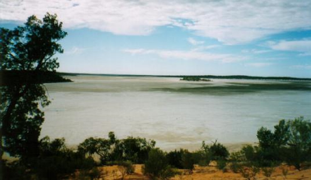
Lake Gilles
Once in the park, which at this time is still under construction we were advised by the friendly Head-Ranger that a good camp site was to be had at Waganny and this proved to be spot on. On our way to the camp site and through the interspersed Mallee landscape, we were greeted with the sight of many Red and Western Grey kangaroos adorned in their woolly winter coats. Some of the buck roos were quite large.
After we had unpacked everything and made our camp, we settled down to a pleasant evening of good food, good wine and our own company. The crystal clear skies brought the Milky Way to the fore as we looked for Satellites in the night sky.

Samphire plain
The Gawler Ranges National Park was proclaimed in January 2002 and its boundaries include the former stations of Paney, Pine Lodge and Scrubby Creek. Edward John Eyre was the first European to visit these areas and was not impressed with it at all. He named the Gawler Ranges after the then Governor of South Australia, George Gawler. Pastoralism began in the 1850’s but it was only in 1869 when a good supply of fresh water was found that Paney Station became established. Pastoralism improved as a Vermin Proof fence was erected around Paney and other stations and merino sheep were brought onto the plains and gullies. More recently the Damara sheep from West Africa have been introduced to this area of low rainfall. An average of only 295mm per year has been recorded over the period from settlement.
At the present time the Park is under construction with a new road infrastructure going in to provide access to 2wd vehicle and caravans to some of the areas. Four wheel drive only tracks will remain the same. This park is for bush camping only so you must come well prepared and although there is plenty of dead wood around, you are encouraged to bring your own along.
As the sun topped the hills in the distance, with a light mist drifting in the foreground, it was time to drag myself out of my comfy bed and stoke the coals from the previous night.
Today we broke camp again and set off at a leisurely pace and followed along Turkey Flat Track though a scenic valley in between the ranges. Four wheel drive was required to drive up a jump-up which was strewn with loose rocks as we made our way to Kolay Mirica Falls. This name is unfamiliar and I can only assume that it is the name of a person who was associated with this area at some time in the past.
The falls are a good example of the scenic landscape which exists within the park. There is an extensive exposure of volcanic rock known as Rhyolite or Organ Pipes and large rock fragments jut out of the landscape at all angles. The falls would be spectacular when a local thundershower would cause them to flow. Today however, there was only a small spring-fed trickle, which kept the small pools of water topped up. We found tadpoles swimming in these pools. The falls showed an indication of wetter times in the not too distant past.

Giants tusk
The track meandered on past Kolay Hut and on to Chillunie Campground which we inspected for future camping. Then we backtracked again all the way past the Turkey Flat Junction on to Pondanna Outstation where a lovely old stone house has been kept up for visitors to use. Restoration of this place is ongoing and from a brand new rain water tank we were able to fill our water containers.
After the outstation the track wound up over a saddle where bulldozers have recently cut a 200 metre fire break. Recent fires in the area had burnt out quite a large portion of the southern hills of the park and this break prevented the fires from coursing further up the hills.
We camped at Yandinga campground in a seclude valley and sat at the fire chewing the fat on varied topics.
In the morning we set off to find the Organ Pipes. After several attempts to locate the unmarked track we finally found a fence line track and drove on. Ten kilometres later we entered a valley where the Rhyolite rock formations stand out like organ pipes. A walk up the creek brought more views of these natural phenomena.
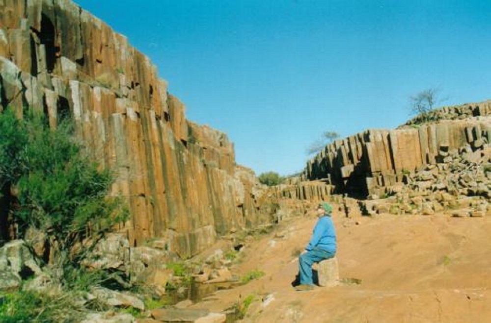
Rhyolite ‘organ’ pipes
Back on the road again we left the Gawler Ranges National Park for the 40km gravel road ride to Minnipa. From there we drove on to Poochera where we turned south to Streaky Bay. We decided to have lunch at a popular lookout but the sight of a decaying cat nearby sent us on to search for better places. We enjoyed our lunch at the tiny hamlet of Haslam. There, the locals have provided excellent amenities free of charge, servicing six caravan bays. A long jetty and a boat ramp are there for the enjoyment for those wishing to pursue fishing pastimes. Whiting and garfish may be caught from the jetty. And so on to Ceduna where we visited the National Parks office to get up to date information on Googs Track, stock up some supplies and fuel up the G60.
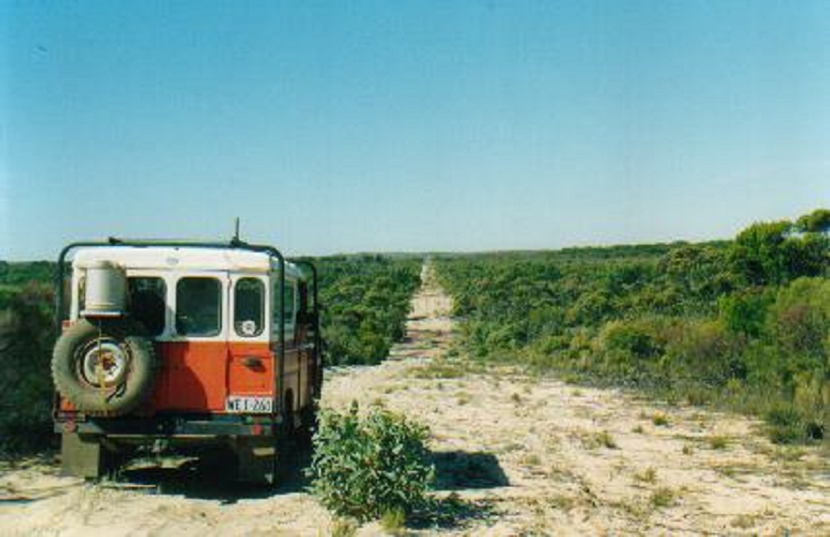
The run to Googs Track was uneventful and once inside the Yumbarra Conservation Park I let the tyres down to 20psi. Initially the track winds its way through dense Mallee scrub and the track is corrugated in places. We pulled in to the first likely looking opening in the trees that we could see to camp for the night.
A lonely dingo kept us amused for a while, howling its mournful song in search of a mate. We replied with our own variations of howling and the dingo decided to leave us to our own devices.
Some cloud appeared in the morning as we set off along the track. Milton counted 111 dunes to Googs Lake. The track was quite corrugated in places and some of the dunes were quite high but the wheel tracks were firm. Four wheel drive wasn’t required but I drove it in High Range just to make the dune crossings easier. At Googs Lake we had smoko atop a high dune overlooking the lake and then scouted around for a good campsite and soon found one. Milton went for a long walk on the lake while I did some vehicle maintenance by tightening some nuts and bolts on the truck. That night we had fireworks in the camp as the rocks which we had placed around the fire started to crack and explode sending chards of stone in all directions.
Googs Lake
Driving out from the lake the following day we followed some tracks that took us to a lookout out point further along the lake. Googs Lake is 15 kilometres in length and I kilometre wide. Then it was back on to the track again and heading for Mt Finke. Along the track Milton counted 262 major dunes. There were plenty of corrugations and on the south side of numerous dunes the track had been scalloped out mainly due to drivers using incorrect tyre pressures. I had to resort to low range on a number of occasions. We saw three vehicles on our whole two day trek but they couldn’t see us.
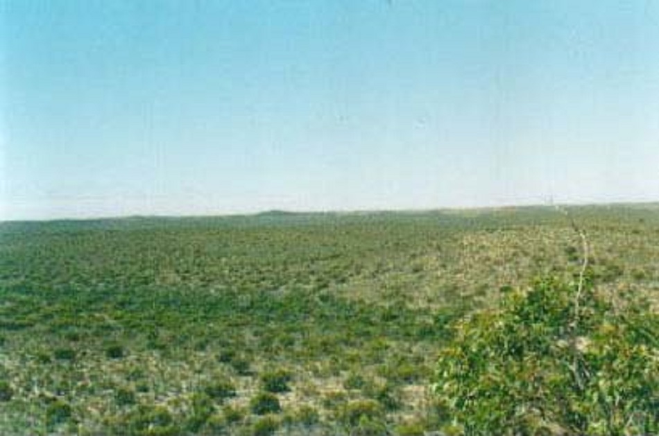
The Yellabinna Regional Reserve is a sea of Mallee scrub and small heath lands interspersed with Black Oaks, a similar tree to a She-oak. It must have been hard going for the early explorers with so much fallen timber and root stakes. No wonder John McDougall Stuart called it ‘as black and dismal as midnight’ in 1858. There were lots of Emus, Dingo and other small mammal tracks to be seen on the dunes as well as numerous spider holes. The G60 took to coughing and spluttering for a while but we kept on moving and bouncing along the track.
Googs Track
Googs Track
At Mount Finke we drove right up a steep track in second low to get a picturesque view of the Reserve. Had lunch and then, as the track looked like it was leaving the dune area, I reinflated the tyres to 30psi. And ‘Murphy’s Law’ came in to effect soon when the track changed back to soft dune country. As I was loath to get out and deflate the tyres again I had to gun the old bus up the dunes. Two dunes defeated me on the first attempt. The track meanders through open

Dune crest
Mount Finke
country after the last dunes and eventually meets up with the Dog Fence. Along this track the bracket holding my bull light broke. We spent some time removing the light.
Eventually after 208 kilometres from Googs Lake we arrived at the Transcontinental Railway Track. From there we put in another hours’ driving time and passed through Tarcoola. About 30 kilometres from Kingoonya we found some tracks going on to a dry salt lake and found that the vehicles (trucks by the size of their wheel print) had camped there. The wind was blowing quite hard and I said that we should try and find a spot closer to the edge of the lake. With no warning the G60 began to sink in and with top revs running I managed to drive out of our predicament. We camped on the dune amongst some small trees. The wind died down at sunset. A quiet night. The Ghan Train passed by at 2am. Some clouds appeared but rolled away again.
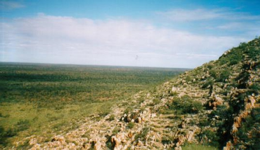
Yellabinna Regional Reserve
We got moving by 9am the next morning. Stopped at Kingoonya which has only a caretaker living there. Then we took the road south through Kokatha, Kangaroo Well and Monaree Stations. Passed by Lake Everard and inspected a roof water tank. A whole roof of sheet iron, about 20metres by 10 metres, supplies water to three steel dams when it rains. The road was corrugated for most part and we spent some time trying to stop the dust from pouring into the G60. We arrived at Lake Gairdner at about one thirty after using a Public Access Track across Yardea Station, which was badly chopped out, with large bulldust holes. We set up camp at Waltumba Camp Site in the National Park. Went for a walk on the lake. The surface of the lake is snow white and encrusted with varied forms of salt crystals. I refuelled the G60 with 80 litres from my jerry can supply and did a few maintenance jobs. We lazed the afternoon away. The breeze was blowing steadily but faded at sunset.
A calm, quiet, cloudless night. But at 5am, drip, drip, drip………..RAIN! I flew out of my bed and hastily packed everything away. Milton rose from his comfy bed and within half an hour we were packed. Then it stopped raining, the skies cleared and we were ready for the road. So we set off for the drive through to Iron Knob. The journey was quite scenic with the rolling hills of the Gawler Ranges which run to the south of Lake Gairdner. One passes through Yardea, Mt Ive, Kolendo, Nonning, Siam and Corunna Stations. At My Ive Station there is accommodation as well as camping facilities and fuel supplies. We did not drive into the station as we had enough fuel. At Iron Knob we had a look around at the interesting old tin houses. This iron ore mining town has now ceased to operate but there are still some inhabitants living there.
We arrived home just after 1pm after an uneventful trip from Iron Knob, through Port Augusta, Wilmington and Orroroo.
Owen Springs 2003
The first white men to travel through this country were the explorers, John McDouall Stuart, William Kekwick and Benjamin Head. On 11 April 1860, whilst travelling north along the Hugh River they discovered a large water hole. Stuart named this waterhole Owen Springs. One of the results of this discovery led to the Overland Telegraph Line following the Hugh River through Lawrence Gorge in the Waterhouse Range in 1872. In the same year William Gilbert established a cattle run on Owen Springs and built the first station homestead in the Northern Territory. After the death of the last lessee of the Pastoral Lease, the Northern Territory Government acquired the property in the year 2000 and opened it in a limited capacity for free public recreation in 2003.

Redbank Waterhole
At present a single 4×4 track, which is well signposted, traverses the property from the Stuart Highway, 66km south of Alice Springs through to Larapinta Drive for a distance of 50km and a further 50km bitumen road return drive to Alice Springs. There is a 2km side track to Redbank Waterhole on the Hugh River where bush camping is allowed. This track branches off to the left 4km from the Stuart highway entrance. There is also an area of 5.6km in length within Lawrence Gorge for bush camping. This area offers shady campsites but look out for falling branches. There are no facilities at either of the camp sites. The 50km track is an easy hard surface run except on a couple of places where it drops into the Hugh Riverbed where there are patches of very soft sand. Camper Trailers and Off-Road caravans could be towed along this track.
Redbank Waterhole offers a peaceful rest area amongst the River Red Gums although they only offer limited shade. There was enough water in the hole to cool off in and the hole shows sign of having more water after good rains. Further along the track interesting stops are at Haunted Tree Bore and Old Owen Springs Homestead ruins. We saw Red kangaroos and numerous birds including Port Lincoln Parrots and Honeyeaters. Some of the corkwood trees were in flower.
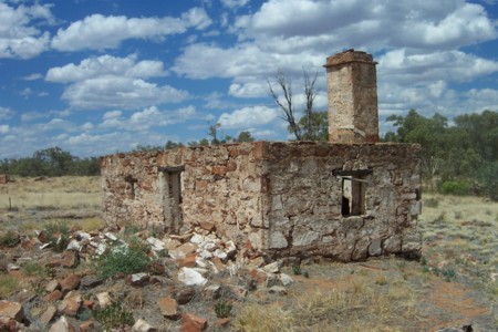
Owen Springs ruin
The normal safety and comfort rules apply in this harsh climate and please remember to take your rubbish away with you, keep to designated tracks, all cultural items and wildlife are protected. Open fires are allowed in the designated camping areas but please extinguish them before you leave your camp site so as to minimise the risk of bushfires.
North of Larapinta Drive there are more camping opportunities at Birthday Gap Waterhole and Reedy Waterhole which are accessed from the Namatjira Drive. The closest fuel supplies are Alice Springs or Stuarts Well, 90km south of Alice Springs on the Stuart Highway.
SA/VIC Border Track 2004
We left home in the afternoon on this sunny March day and cruised down to Morgan on the Murray River. Crossed over the river on the ferry and by 6 pm Uncle Milton and I were all set up at our camp at Hogwash Bend. This particular spot is popular with all Murray River campers but this evening we had it all to ourselves as it was midweek. A very pleasant evening passed, with tree frogs croaking and pelicans swimming close by, no doubt looking for the odd food scraps. We went for a dip in the river waters which was very cold at first, but then warmed up the longer one sat in the water. We were still on fire restrictions and so we had to do without a fire and cook with gas.
Border Track
The next morning we tried to make an early start but got away from camp at 8.15 which is deemed late. We called in at Monash and had a cuppa with a friend before going on to Berri where we met up with another friend at his house and had another cuppa tea and a sticky bun. Then we moved on to Renmark where we bought fruit and veggies and a film. On the Mildura road just past the fruit fly quarantine gate Milton saw a packet of apples lying by the side of the road. We did a U-ey to pick them up. They were still fresh in their Woollies bag.
We took the bush track to the right of and on the South Australian/Victorian Border and set off for the first 60 kilometres. The track winds in and out of the border and there are some big dunes in the Mallee scrub. Their texture is quite hard. Eventually Old Rosie, the Nissan patrol, started struggling in the sand and we had to drop the tyre pressures to 18psi to get over a very high dune. We then became slightly lost some times and had to fire up the computer to check our bearings with the map and the GPS. It was a very hot afternoon and we found a clearing in the bush near some farmland at 4.30pm. Set up camp and refueled. I had a tub, washed my clothes had a relax and cooked tea early. The flies drove us nuts until sundown. A cool breeze sprang up after 8.30pm. We managed to get to bed at about 10.30pm. Just after midnight I changed position in my bed and activated the car horn. This woke Milton up who came running out of his tent looking for a fire that may have started. The rest of the night passed with out any incident. A strange looking bird flew over our campsite a number of times in the dark.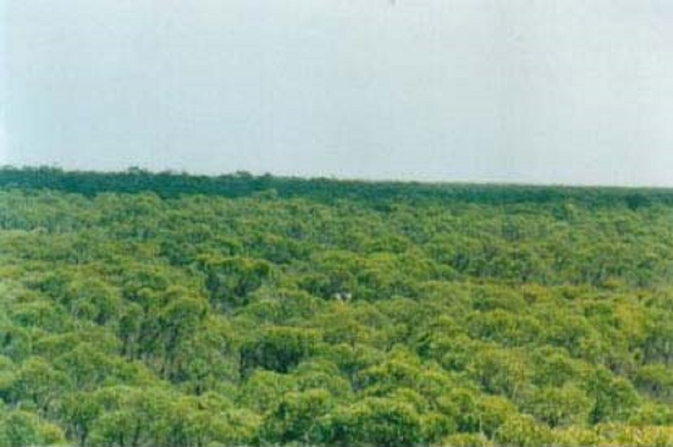
I rose at around 6.30 am and woke Milton with “Wakey. Wakey. Rise and shine”!!! Not sure if he was amused. We tried to beat the flies this morning but they were too smart for us.
It was an eventful day with lots of sand driving and a number of very high dunes gave us trouble. One dune took 5 attempts and we got right to the top but not over. So we resorted to some bush driving and found a track at a lower height and got over. It was a hard day’s drive with lots of ruts and small holes which made us bounce a lot. At one stage we drove over the side of dunes which had been blown over to the east from where the farmers had cultivated their lands. The more land that was cleared the more the dune seemed to grow. Eventually we ran out of the dune country and then followed the track south until we ran out of road. At one stage the track was very overgrown and we had to winch a fallen tree off the track. We eventually found ourselves in a farmer’s paddock as the border track had disappeared. We took a farm road to the west and made our way through farm tracks and paddocks until we found a major road. We then found our way to the small hamlet of Wolseley where we had a wash and filled out water containers and then on to Serviceton where we got further border directions from the small PO Store. We also bought a few things. The directions given were good up to point but then we started to run in to farm paddocks again and eventually found a hidden track which we thought looked promising. Once over a small dune we saw a sign, Little Desert National Park, and set off along that track through the Mallee scrub. The track we were looking for did not eventuate but when we found a clearing along the track which we were following and it was time to camp, right in the middle of the track.
Little Desert CP
After breaking camp in the morning I started the laptop, GPS and Moving Map software and drove down Blackboy track for a short distance until we came across East West Track and then went in that easterly direction. There were lots of detours and deviations with tracks running everywhere. Most were sandy tracks and we were restricted to third gear High Range. Had lunch at Broughtons picnic site. It is very well set up with large log tables and BBQ’s. After lunch we drove down the Mt Turner track for a few kilometres and in the middle of nowhere was a small hill about 10 metres high. I made a phone call to Jude from there as my Mobile Phone showed a low signal. The conversation was interrupted by Marsh Flies which were biting like mad. Then we drove down Macdonald Highway (sand track) and the inverter blew up, a diode melted and smoke poured from the glove box. We disconnected everything and continued on our way. Met one solitary vehicle and had a chat. By the time we got to McCabes Track we had had enough of bouncing and made for the bitumen. Drove to the Caravan Park at Dimboola and decided to stay for the night. Then we met up with some internet friends who were on an Outing of friends.
The following morning we went for a drive down the Horseshoe and Ankle Bends and along the Wimmera River and had lunch. After lunch we met up with some of the crowd and followed them for a while but doubled back when they went where we had been before. We made for the Caravan Park again after deciding to stay another night and pushing off in the morning for Big Desert.
A cold wind sprang up in the evening and it wasn’t long before we were all rugged up. There was much hilarity through the evening with conversations covering a myriad of subjects.
We broke camp the next morning at about 10am. Some of the others went off for a days drive to the Border Track which I thought would be too much for one day, forgetting of course that I am about twice their age.
We had an easy run up to Big Billy Bore campground and stopped to look at various places of interest along the way. Set up camp and later played with Rosie repairing the bushings in the shock absorbers. Then some locals from Murrayville dropped by for a chat and gave us a beer each.
Up early the next morning and had a hearty breakfast of tomatoes and bacon and packed up camp before the flies arrived. We took the track out to Cactus Bore, Coburns Track and then along Ngallo South road to the Mallee Highway. We crossed over and followed various tracks up to Settlement Road in the Murray Sunset National Park and then whilst looking for another track ended up back at the Border Track. This we followed up to the Sturt Highway and had a spot of lunch at the picnic tables. Then back along the Border Track heading north. Here the track is an easy run in two wheel drive. Just short of the Murray River the road diverts to the left and then north again to the Old Customs House. We watched the houseboats go by and stretched our legs and then went off to Renmark to refuel and buy some fruit for home. At Waikerie we had a look at an old FJ55 Landcruiser in a car yard and then pushed on to Hogwash Bend for a camp. Found a nice spot there right on the rivers edge but it was threatening to rain. Ate the last of our fresh foods and washed that down with a few glasses of port. Got to sleep at about 10pm and then it rained!
Tuesday morning and we were up early before sunrise. Milton pulled a muscle in his back whilst packing up his tent and I fed him some pain killers. Then Rosie would not start. After elimination I found that the points were burnt almost to beyond recognition. We replaced the points and soon we were on our way home.
We arrived home just on 1pm and after driving around all the small towns and hamlets we had passed through along the way looking in back yards for old cars and possible parts.
A good and safe trip.
Dust Devils and a Crook Filter 2004
Uncle Milton and I got away at around 10.30am and headed for Terowie.
A cold south wind was blowing quite strongly and raised dust devils hundreds of metres in to the sky from the barren plains beyond the Terowie perimeter. We drove by lonely stations along a dusty road until we reached the New South Wales border. Just across the border lies Loch Lily Station. Had a chat with the station owner about the drought, the rain and the Boer Goats he was breeding. He gave us a mud map on how to drive south across his property. I took notice but still got lost. Then we came to an electric fence and although an arrow pointed left I decided to veer to the right. We followed a fence of new wire netting which had been electrified for a long way. Eventually we came to a corner and turned east. Then the wire netting fence changed to cyclone type electric fencing. Eventually we came to a gate which was electrically operated. It was 5pm and we decided to camp right there next to the road.
We made camp and cooked a meal. Darkness fell and Milton started to feel ill. He went to bed in the trailer. Soon after vehicle lights appeared on the other side of the fence and the gate opened and the vehicle came to our camp. It was a young fella working for Scotia Sanctuary, a wildlife refuge which lay inside the fenced off area. He said that we were on Scotia property and that they normally charged $10 for camping. I said nothing but changed the subject. The fella seemed confused as to his real whereabouts and I told him that my GPS had positioned us right by the gate and that we had become lost just getting here. He left after giving us directions of how to get out of the place the next day.
I had a good sleep but it was a cold night and had to rug up to keep warm. Milton was sluggish in the morning and he was not feeling well after the previous night. We packed up and drove through the Scotia Sanctuary gate as instructed, turned right as suggested, and make for the exit gate. It was not far but the solar panel gate refused to open. So we back tracked to the Scotia Homestead which we had not seen as yet. It was very impressive. New buildings, gas, water, solar powered. We saw last night’s visitor again and told him the news and that we were going back out of the gate we came through. We did just that and turn down the fence line to try and get around the perimeter of the property only to find another fence line stopping us. So we backtracked to the gate and found it standing open. Tried to close it by pushing the buttons but it would not work. I gave up and drove on. We followed tracks which took us past Tarrara Outstation. The Outstation was uninhabited. Then on through and past Tarawi Reserve, Old Shire Road, Belverdere Station and eventually we crossed the Silver City Highway and had smoko under the shade of a tree. From there we pushed on through the bulldust along Old Roo Roo Road past Nearie Lake to Polia Road. We had lunch by the side of the road and then continued on. Not long after lunch we had a puncture on the left rear wheel. I took a spare off the trailer on and then I stripped the threads of a nut. I had a spare wheel nut with me and fitted that . Milton fell asleep again along this dusty track and I find a beaut spot on the Darling River for a camp.
The fuel needle of the G60 was showing empty and I set about refuelling from the jerry cans in the trailer. I notice little white flakes in the petrol funnel and they disintegrate and become like soap when I touch them. I think no more about it and refuel. Milton has wandered off and I see him sitting in the sun.
The next minute Milton is beside me in a chair with the blanket over him and shivering like mad. I pack up hurriedly and get him in to the truck and we push off for Broken Hill. Not long after he calls for a stop and is sick. I pushed on as fast as I could with the trailer in tow. Heard clunking noises but did not stop to investigate. At a later inspection it turned out to be the spare wheel carrier which was loose and just swinging in the breeze. Milton was asleep.
We finally got to the Silver City Highway and bitumen road on dusk and from there it was another 84 Km to Broken Hill. Then the truck started to lurch and lose power. Power surges came and went. I would take my foot off the accelerator and coast for a few hundred metres and then accelerate again for one or two kilometres and then the process started all over again. Milton is out of it. I stop and change the front fuel filter. A bloke in a Toyota Ute stopped to enquire if we were all right but I tell him I’m just changing the filter and thanks for stopping.
We struggle on. I stop for a few minutes and try Channel 2020 on the HF Radio. Then I try Port Augusta but to no avail. (I discovered later that the aerial was faulty). I got back into the truck and we moved again for five kilometres before the whole process repeated itself again. We finally arrived at Broken Hill around 8pm and found the Hospital after some wrong advice and a search. I drop Milton off at Emergency. An ambulance arrives and the driver is very adamant I move off, which I do, but not before telling him to look after my mate. They are very casual about it at Emergency until they take Milton’s blood pressure and then he is rushed to a bed and put on a drip. They do an ECG and that is OK but he is very weak. I get his clothes and toiletries and then make for the Council Caravan Park. I had a long hot shower and then slept like a possum. It was another cold night.
The next morning, I am back at the hospital at 9am. Milton is in the surgical ward and looking weak. Looks like he is in for some tests and will be there for a while. I decide to try and get back to Peterborough and leave at 10.30 after making some phone calls to Adelaide.
I get about 20km out of Broken Hill and the truck is still lurching. I pull up on the side of the road and take the air cleaner off. I remove the carburettor bowl and float and promptly lose a very small circlip in to the dirt below. I take the main jet out and blow through it but it is open. Then I drop that in the dirt trying to screw it back in. I find the jet after crawling around under the truck and screw it back in to place. A young bloke from Roxby Downs stops and offers assistance and he helps me make a wire circlip for the float. He insists I ring home on his mobile phone and will not take a dollar or two for the call. A very nice young man, he was. I thank him very much. I put some silicon on the float chamber gasket and wait for it to dry before fitting it all back together. I start the truck forgetting that the oil type air cleaner is resting on top of the engine. It falls over and spills a litre of oil everywhere. I clean up some of the mess and then put the whole shebang together again and drive off. Now the truck is running more than rough. About one kilometre down the road I look for my wallet and cannot find it. I turn around and drive back to where I was working on the truck. I remember I had the wallet out to give the young bloke a business card.
I get back to the spot and find my wallet on the passenger seat under a book. Sigh of relief! Check on the engine again and find that I had fitted the air cleaner back to front. Not thinking straight! I remedy that. Truck is still struggling but I get to Cockburn and I have a pie and a drink and drive on. I struggle on to Olary and beyond and then on a low hill the engine starts to die. There is a truck parking bay with a car carrier parked nearby and I limp in and park down on the other side of it. I crawl under the truck with my tools and this time I replace the electric fuel pump as I had a spare one in my box of replacement parts. The old pump oozes white goo out of the filter. Once I have the pump working I am on the road and the truck is running sweetly. I ring home from Yunta via 1800Reverse and leave a message as there is no one home. About 25km out of Yunta I meet Judith and Jeddah bringing me some nice hot coffee and we have confab at the Three Sisters parking bay. Jude drives home the way she came and I take a back road from Nackara as I have heaps of vegies on board and do not want them confiscated at the fruit fly gate. I had bought them in Peterborough in the first place but try explaining that to the gate inspector. There were lots of kangaroos about in the late afternoon light. Once I got back on the bitumen again, the truck coughed twice but then continued running smoothly again. I arrived home at 6pm after an eight-and-a-half hour trek, for a distance of 285km.
On Monday I decant the jerry cans and find that the Lion Brand jerry’s have some white flaky stuff in them which had caused the problem. I had bought eight new jerries to set up for a remote outback trip in the future and were trying them out on this trip. Oh well, back to cleaning up and then repacking for my trip to Birdsville during the week.
On the Tuesday I took the jerries down to the retail outlet where I had bought them and started negotiations to get a refund or replacements and to order a new spare fuel pump and to get the tyre repaired.
Never a dull moment
Birdsville & Corner Country 2004
Thursday. Leave home on my own at 5.45am. It is a cool morning with the temperature at 2 degrees. A fresh tailwind accompanied me out of town and I was able to cruise at 95 quite comfortably. Lots of kangaroos to be seen.
Drive in on Beltana Road to where plaques are at the Afghan well and take some pics for the John MacDouall Stuart Society.
Stop at Copley at their new rest stop and then buy a pie and drink before heading off to Lyndhurst where I refuel. I give Paula from Holland a lift to Marree. She is on a 12 month working visa in Australia and is visiting a friend in Marree who says that there may be a job going on one of the stations nearby. I speak with some travellers at Marree driving an old Jeep J20 with a caravan built on to the back.
Set off for Lake Eyre along the Muloorina road and Rosie starts to hiccup again every now and then. Notice a water splash on rocker cover and can’t see where it is coming from. It is 96km from Marree to Lake Eyre via Muloorina Station. I let the tyre pressures down to 25psi. The last 15km in to Lake Eyre is very badly corrugated. The country side is moonscape with lots of gibber plains and very little surface vegetation. Lake Eyre is bone dry and 0 degrees above sea level according to my GPS reading.
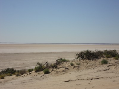
Lake Eyre South
I drive back to Muloorina Waterhole and pay my $2 camping fee. Enjoy the quiet of the bush and do a bit of bird watching. See some Swamp hens, Cormorants, Wood swallows and Willie Wagtails. There are reeds, tea trees, date palms and coolabahs. Muloorina Waterhole is the overflow from an artesian bore. The station has a turbine set in the bore and this generates power from the water pressure of the artesian bore. I set up camp and have tucker and clean up and then some other campers set up less that 30 feet from me. They are noisy, falling around in the dark.The vehicle is registered in Victoria. My peace and quiet is shattered and I get annoyed and move off to the other side of the waterhole but the Jeep campers have a generator running. I drive back along the station road till I can see the lights of Marree and then sleep for the night.
Friday. I am woken up by a passing fuel tanker at 5.30am and set off in to Marree. Have a clean up, get dressed and have some breakfast whilst the morning is breaking. Repair drivers seat as a bolt had come loose and replace number plate light globe which had worn away its contact point. There was nothing wrong with the element. I fuel up and get on to the Birdsville Track. Not cold this morning and I am able to wear shorts and a jumper. At 54km up the track (which is wide enough to take 4 vehicles side by side) I stop at Claytons Bore to check out their artesian hot water shower and spa. Does not warm up for me (I was a bit impatient at that time) so I drive down to the wetlands area and take a photo.

Clayton Wetlands
Two days before a 200 kilometre rain band had crossed over the Birdsville Track and more than 25mm of rain had fallen. The mud started about 50km south of Mungeranie Pub to another 150km past that point. I find the where the water leak is coming from in the engine. It is coming from the by-pass hose. I remove the radiator cap and drive on. Stop at Mungeranie Pub for a cold drink and a sausage roll. Arrive there same time as coach full of tourists but get my order in quickly.
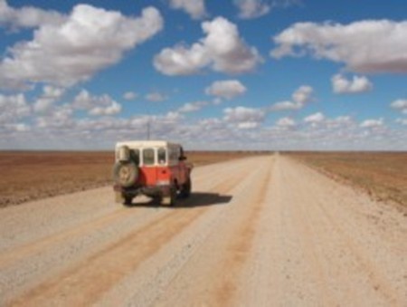
Birdsville Track
About 50km north of Mungeranie I hit a washout at 50kmh after slamming on the brakes to come down from 80kmh, and bounced across the road surface severely. The solenoid on the starter motor jams and causes the starter motor to continue cranking This causes a fire in the loom. I use the dead switch to stop the overwind and isolate the loom wires as soon as possible. Now what? I am temporarily in a fit of despair but then get the workshop manual out and read about the solenoid. I tap the solenoid and starter motor with a hammer and this frees it up again. I am very relieved. The car starts and I drive on and make it in to Birdsville by 4.30pm. Ruth Doyle, my internet friend, is standing by the gate of the Caravan Park which she and her husband, Ian, own. We talked a lot and later she came over with a scotch and we had a quiet drink together. Then I cooked supper and was in bed by 8.30pm.
Fuel consumption has been exceptionally good as I had a strong tail wind all the way to Birdsville and I made 6.2km to a litre which is 16.12l/100km or 17.63mpg! I find out later that I have a broken rear shockie and the two front ones are ready for replacement.
Saturday. Started working on Rosie after breakfast with much interest from fellow campers. Removed the bypass hose and walked across to the Servo where a young fella by the name of Daniel reckoned he could repair it with some Sikaflex. He did the job and charged me $20 but it still leaked. I have learnt that the owners of the Servo are ex-South Africans and call over the fence to Mrs Marietjie Nel. Her husband Theo is away on a CFS course but should be back by Monday. I said that would like to speak with him about the Nel family in South Africa as one my ancestors was a Nel. Mrs Nel tells me that they have been in Birdsville since 2000 and had immigrated under a sponsorship arrangement. They seem to have done pretty well for themselves with this huge modern Servo.
I went back to my job on Rosie and separated the burnt loom as best I could and applied new electrical tape. I found that the burnt wire was the one to the starting switch and was live. Plugged the sockets back together again and replaced the fuses and EVERYTHING WORKS. What a relief. Tested all the circuits and alternator charge with my voltage meter. Climbed in under the truck and tightened all the suspension nuts. Went for a drive to the racecourse and back and apart from an odd hiccup (still some residue of the jerry-cans in the fuel tank), Rosie is running OK. Spent some of the morning in Ruth’s coffee shop at the Caravan Park. She made me a mean Cappuccino. Chatted to her husband Ian and some of his cronies who all seem to drop by on a Saturday morning.
In the afternoon I drove around town looking up old haunts. Decided not to frequent the pub but had a Chocolate Thick shake at the Caravanserai Café. Drove down and peeped in the door of the Working Museum. The bloke said that there was a tour on at 3pm and I said I would come back. What was in there of what I saw through the door did not interest me really as there is as much junk in a mate of mines back yard which I see every time I go there. My next door neighbour at the CP is Sully(Rory O’Sullivan) from Rathdowney in Queensland. Aged 81 and driving his 1989 Toyota Sahara Turbo Diesel and a trailer which he built himself. Him and his dog Smokey spend six months of the year travelling around. Smokey has a plastic drum for a kennel. Sully sleeps in the back of the trailer which is set up with all sorts of paraphernalia and weighs about 3 ton according to him.
The Birdsville flies are annoying. I don’t think that I will ever be able to live in such a place for a long time. In the late afternoon Sully gets some wood together and lights a fire by the front entrance of the CP. He uses a compressed-air flame-thrower and a compressed-air diesel accelerant squirter. Instant inferno! Some people have the weirdest ideas about lighting fires. I drive over to the phone boxes and ring Jude on 1800 Reverse. Later on by the fire, Ruth comes over with some tucker and a bottle of Scotch and the deeper in to the bottle we get the more laughter there is. They also get stuck in to the almonds I brought them and much later we finish the evening off with ice cream and Prickly Pear juice. In bed by 9pm.
Sunday. Slept well and am surprisingly clear this morning. The supply truck pulled in at 6.45am and thereafter sleep was over and done with. Cool morning but not too cold. Should be a nice day despite the flies. Well………..whilst having breakfast I see a drip of oil on the ground and find a pipe hanging loose. It appears to be the gearbox breather hose. After breakfast I get in to my sad rags and climb in under the truck. No way can I get the hose back on. Decide to remove the passengers’ seat so that I can get to the battery compartment more easily. Get the battery out but still cannot reach the pipe attachment. Remove 24 bolts to get the gearbox cowling off at the firewall and slip the pipe back on and fasten with a clamp. It takes two hours to do a one minute job! Rubbed some silicon over the by-pass hose and let that set.
Drove out to Big Red in the afternoon. It is 33km to the ‘new’ crossing of Little Red and 3km along the base of the sand hill to where the old Big Red crossing was. I managed to struggle up the dunes with my walking stick and take GPS measurements of the height above sea level.
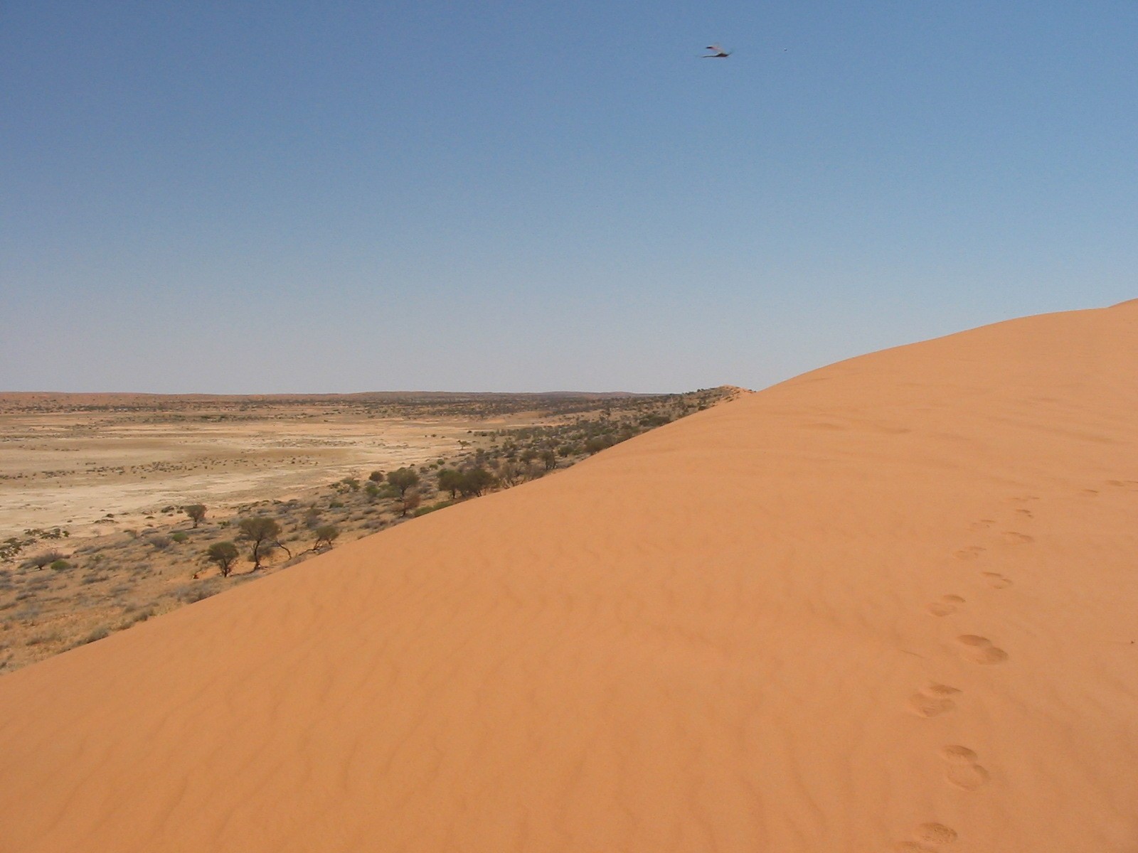 Big Red
Information booth at the approach to Little Red is 39m ASL
Little Red Crossover point is 58m ASL
Little Red southern sand blow estimate at 68m ASL
Approach to Old Crossing of Big Red 35m ASL
Old Crossover of Big Red 65m ASL
Big Red northern sand blow 70m ASL
Big Red southern sand blow 75m ASL
The information booth relates that the highest point of Big Red sand hill, which stretches for about 300km is 90m. It does not state that this height is Above Sea Level, but it is! Decide to drain about 10 litres of fuel out of the tank to see if I can get rid of some of the gunk that came out of the jerry cans. An uneventful drive back and I have the whole road to myself.
Have not seen Ruth for most of the day. I think she isn’t feeling well. Sully cranks up the fire again and we warm our cockles with some port and a fireside chat. In bed by 9pm.
Monday. Up early. Cold morning. Rosie won’t start. Do the elimination bit which takes half and hour. No go. Pull the in line fuel filter off and it breaks. Then I crank the motor over and she starts. Must have been some airlock. Fit new fuel filter and we are mobile. Go over to the Servo and catch up with Theo Nel. He invites me in to the his house and we jabber away. He brings out the Nel Family Bible and I start my laptop. Soon we are comparing notes and it turns out that his ancestor nine generations back and my ancestor eight generations back, were brothers. His ancestor Jan(Jean) Nel was the first born child and my ancestor Pieter Willem Nel was the tenth born child of Guillleaume Neel(later renamed Willem Nel) and Jean de la Batte both of Rouen in France, who migrated to South Africa in the 1680’s.
I get away from Birdsville at about 10am after refuelling at $1.11pl for unleaded fuel. Say goodbye to Ian and Sully. Ruth is in bed with a very bad cold and under sedation. This time I have a headwind and fuel consumption is going to be bad. The country side is barren with gibber rocks strewn far and wide. No wonder that the owner of Roseberth Station (a personal friend of Ruth), told me that they own 1.25 million acres of land. I am not sure what the cattle eat out there but there must be some sustenance for them. The road is not good as the gibber is formed into little walls of about 100mm high along the outside of the tracks and tracking the truck is difficult at times. But we are only making 70kph against the wind. Looking forward to buying a snack at Betoota. Lots of kangaroos to be seen. Not sure what they eat either. Disappointment reigns supreme. Betoota has only one building, that of the Betoota Pub, and it closed down in 1997!
After 250km or thereabouts I get to the turn off to the South Australia Border and Innamincka. 40km later I find the turn off to Haddon Corner which is where Queensland and South Australia meet at a fence post corner. I am able to drive across two sand hills in 2wd but take the easy route over the highest sand hill on the way out. I have a photo session at Haddon Corner and then make for Arrabury Station and beyond.
Haddon Corner
The wide open spaces with nary a hill in sight. Great flat plains endlessly stretching into the distance. Some flat topped mesas loom out of the distance shimmering in a mirage. The road is reasonable but about twenty kilometres from Arrabury Station there are long patches of bulldust and I have to drive with care. I do another 120km and pull up off the track inside the Innamincka Reserve. I refuel and cook a very nice stew which some straggling flies and I enjoy immensely. It’s the night before full moon and like daylight outside. Plus, I worry about whether the truck will start. So I crank the motor over at midnight and again at 3am. Silly!
Tuesday. Get on the track at 5.15am and the first 30km of the next 130km is twisty and corrugated but evens out after a while. I have a hot 4 minute, $2 shower at Innamincka and then go down to the banks of Cooper Creek to have some breakfast. I ring home and then also ring Bollards Lagoon Station to get permission to use the Bore Track. Refuel at $1.19pl but only put 50litre in as I still have a spare 80litres in the jerry cans. Drive out to Cullyamurra Waterhole and meet the mother and daughter duo who were camped next to me at Birdsville. They are doing OK in their Mitsubishi Challenger. It looks a bit too close to the ground for my liking, our Commodore seems about the same height.
Coopers Creek
The Bore Track is wet in places and I follow a station truck’s tracks to avoid mud holes. I get caught out by one mud hole and blot the daylight out when I plough through it at 60kph. There are lots of Oil and Gas Mining activities along the Bore Track and road signs are scarce. Quite a few road signs are broken off for souvenirs. I was informed by Ruth in Birdsville that they get tired of replacing signs because so many of them get souvenired. The track is easy and can be done in a sturdy 2wd vehicle. Going left at a turn off I feel the truck slide slightly. Have a look an decide that the right hand rear has a slow leak. Pump the tyre up and continue. I meet two other travelling vehicles, one towing a small pop top van, and eventually get to Bollards Lagoon Station at about 2pm. I pay my dues at the homestead and head off to Cameron Corner. This is not far away.

Bore Track
Once at Cameron Corner I chat to a young fella working on the Dog Fence and also to two blokes riding Postie scooters from Geelong to Darwin.
Cameron’s Corner
Buy some soft drinks and push on. Get to Fort Grey in Sturt National Park and camp for the night. I decide to use their gas facility but after ten minutes everything is still ice cold. I unpack my gear and cook tea. The flies are worse than at Birdsville. Pump up all the tyres to 35psi. Three other campers come in and camp a distance away. The sun finally sets with full moon arriving and the flies go to bed early.
A Desert Adventure 2004
Uncle Milton and I left home on Sunday 19th Sept and had a good trip up through Hawker and Lyndhurst and motored on to Claytons Bore on the Birdsville Track. Had a lovely sojourn in the artesian spa bath and soothed our aches and pains. I rang Jude on the Satellite phone. There was only one other camp there for the night, a young couple from Tasmania. We had a chat. The long drive had taken its toll for the day and we fell asleep soon. The following morning the spa was irresistible before breaking camp we managed another dip. After that I drove down to the wetlands to show Uncle the bird life and diverse flora.
We made our way to Birdsville after stopping at Mungerannie Pub and various places along the way. This time I walked down to the Mungerannie Wetlands and viewed the bird life. We had a cold drink at the pub. We arrived in Birdsville at 4pm and caught up with George and Maureen who had arrived the night before. They had had a puncture at night on the way from Bedourie and had destroyed the tyre. I met up wit Ruth again and introduced ‘Uncle’ to her and she in turn gave him a big hug. I rang Jude after 7pm and let her know that we had made it safely to our destination.
On Tuesday we lazed around while George fiddled with tyres and Milton went for a walk. In the afternoon George somehow got the spare wheel wind down tyre lever stuck in the mechanism and it took Milton and I an hour to extricate it. I went over to the Birdsville Servo and caught up with my distant relative Theo Nel and his wife Marietjie. They had some other expatriate South Africans with them and we rattled away in Afrikaans.
Wednesday morning we headed out to Big Red and the Simpson after I had fitted the ‘Wog Pole’ flag pole to the bulbar. It took some more fiddling and plenty of electrical tape to stop the pole from disintegrating. In the end it survived the whole trip and did the job. We drove over Little Red and when we got to the western side of Big Red crossing, George just had to have a go. Up he went and right at the top another fella came charging over without a flag. It was touch and go to an accident. Milton and I growled at them for not having a flag pole and they growled at us for not being on Channel 10 UHF.
We made it to Poeppel Corner late in the afternoon and set up camp nearby. We enjoyed an idyllic evening. But in the night the wind sprang up and made life in the morning very unpleasant. I refueled nevertheless and the fuel consumption averaged out at 6km/l.
We pressed on to Colsons Track and our camp at Lynnie Junction. Saw 27 other vehicles for the day and spoke with a few. We ran tyre pressures at 15psi and used High Range first gear to crest the majority of dunes. It was a good drive for both days and the desert was looking well. There was a bit of rubbish left about by campers especially un-burnt toilet paper. We had lots of laughs around the campfire and made up a hotchpotch stew which resulted in my stomach having the wobbles.
I rose early on Friday and had breakfast and got the fire going again. The wind sprang up at around 7.30am. This kept the flies at bay. We had breakfast and then George discovered an issue with his fridge. Milton took off down the track for a walk in the early morning breeze. We broke camp at 8.30 and did a dog leg on the WAA Line to the Rig Road. Stopped at Macumba Oil drill site and I nearly ran over two star pickets which were sticking out of the ground. Later the road swung to the east and we motored along for what seemed like endless kilometres. The dunes were moderate and third and fourth gear, in high range, were used most of the time. We spotted camel tracks and eventually found a herd of 14 who obliged us with a trot across the track for a photo opportunity.
At the end of the Rig Road we turned north on to the Erabena Track and stopped off at Lone Gum for lunch. There were two other parties there all from Victoria. We refuelled and my consumption had improved to 6.2km/l
We made our way up Erabena Track and then turned east on to the WAA Line. The hills were undulating with some big washouts in them and we had to drive with care. Maureen came with me for this drive while Milton sorted out Georges UHF problems. We camped on a small clay pan about 2km from the Knolls Track. George and Milton killed off the booze around the campfire. It was a beautiful still starry night.
We broke camp at 8am and made our way to the Knolls Track. This track was good in places following atop a sand dune. We passed another group of vehicles whom we had seen at various locations. Took some photos of the Knolls and had smoko at the French line intersection and chatted with other travellers who were passing by The track on the French Line is very chopped out on the western slopes of the dunes. George and Maureen struggled on a few dunes as I surmised their tyres pressures were too high but we only met two groups coming our way. George’s flag pole came loose and had had to be fixed by me with numerous cable ties. It looked like spiked anteater. We camped about 100km out from Birdsville in the Simpson Desert National Park in Queensland. The flies were very annoying. Milton and George repaired the Waeco fridge which, it has been proven, was wired up incorrectly by the auto electrician in the first place. I did some repairs to my flag pole. I made damper with a bit of help from Maureen and we smothered it in honey and munched it down. We got to bed by 11.30 and slept well. I woke up through the night with lots of arthritis pains.
Today was an ordinary day on the QAA Line. Lots of corrugations, chopped out dunes and soft sand. Then dunes are a bit easier from the west and we motored along at a steady pace. I had to wait for George and Maureen a few times as they tended to get behind and out of radio range. We followed camel tracks for a long way and finally saw a bull and a cow off in the distance.
At Big Red, the old crossing, I dropped the tyre pressures down to 15psi and mad it over the crest and up to the high side of the blow. George had three attempts and gave up. We met up again on the eastern slope of Little Red and re-inflated the tyres to 32psi. I also telescoped the flag pole as I thought it might crack at higher speeds. On the way to Birdsville we dropped the rubbish off at the Tip.
Ruth Doyle very kindly gave us a freebie for the night which had something to do with ExplorOz discounts. We washed all our gear and had that long-awaited shower. George had an issue with his spare tyre again and took it to the servo for repairs. We talked to a few campers nearby about vehicles and troubles they have had. We rearranged all our gear and got ready for the trip to Innamincka. In bed by 10pm
I slept well and was up at 5.30am
We had cappuccinos with Ruth and soon we were on our way south. Made good time down the Walkers Crossing Track and camped at Minkie Waterhole 9 km from Innamincka and had the place to ourselves.
It was a beaut place with its own resident pelican and lots of corellas. Slept well despite the full-moonish night. Set off for Innamincka in the morning and after some purchase we left the Hi Lux and camper in the carpark and made for Coongie Lakes in Ruby. The countryside is quite stark driving through to Coongie but a pleasant surprise is in store when one arrives there. It is a paradise for birds and turtles. Not many campsites available, though. There is a long lake shore drive which shows the lakes from different angles. There is lots of bird life, especially ducks.
On the return journey the heat increased and a strong wind sprang up creating a dust storm. Back at Innamincka I refuelled at $139.9/litre. Took 80 litres which worked out at 7km/l. We took to the road again and followed the Old Strzelecki Track down to Merty Merty looking at some of the oil rigs along the way. We camped at Yaningurie Waterhole which was almost dry. Plenty of flies around. Winched a dead tree down for some fire wood.
It started raining at 1.30am and George and I quickly put stuff away. The rain continued till 5am and I got everyone up and ready to roll at 5.45 We made it on to the Strzelecki and slipped and slid for 38km when we saw a truck bogged on the side of the road. Then we both bogged in the wet bulldust and stayed there for 4 hours before being able to drive off again.
The rest of the trip was uneventful. We dropped it at Talc Alf’s and looked at his stuff and crazy life interpretations.
We made it to Warraweena Conservation Park by 6pm after shopping at Copley and Leigh Creek. We were given a campsite right next to Noel, Hubert and Mike who just happened to be there. Rain interrupted the fireside chatter. Noel and party left early in his Mercedes Benz 300GD. Milton and I went up to the homestead to shower. Stony had not lit the donkey so the hot water was to take a while. Gina came with a message to say that Andrew and friends were on their way and I was to contact them on HF. I tried but was unsuccessful. The aerial was crook again. Gina suggested we shower at her house and we did just that. Then Andrew and families and Paul Goerecke and his dog Milo arrived and we went down to the camp for lunch. After lunch I took Maureen and George in the car with Milton and me and was Trip Leader to Old Warraweena Station Homestead. It was a pleasant drive with lots of flora to see plus some kangaroos. On the way back we met Stony who had come out to warn other campers that there was a storm weather alert out. Then it started raining. Only a few drops at first and then really hard and we only made it to within one kilometre of our campsite when I decided to pull off the track to higher ground as the floodwaters were reaching up to the doors of the GQ.
Fifty millimetres of rain fell in the space of an hour and this had swelled all creeks to peak velocity. The creek rose even more and we hurriedly removed some fallen timber and old logs and drove the vehicles to even higher ground. We all spent the night out there in the cold worried that the waters may rise even higher. The rain stopped and the creek rose and ebbed a few times but did not threaten us. We lit a huge fire and erected some tarps and rustled up some tucker. There were 9 adults, 7 youngsters and 1 dog (Milo). We spent an uncomfortable night either in the cars or by the fire. The creek had subsided enough for us to make for our camp in the morning. Stony arrived later, proudly driving the Nissan G60 which I had donated to him as a work vehicle for the Park, to say that he had rescued other parties on the west side of Warraweena and that all roads in the Flinders were closed. We had to wait for further instructions. We made breakfast and cleaned our camp stuff.
I called Gina up on the UHF at 11am for instructions and she indicated that we should soon be able to leave as Stony was busy organising the stranded travellers. We made our way to the homestead and were mulling around when Stony arrived back and instructed that he wanted a convoy of vehicles leaving the property first and that I was to be trip leader up to where he had closed the track at Beltana. We were to collect other stranded travellers along the way. We did just that and everyone made it through the washouts without damage except for George and his camper trailer who managed to bend one of the stabiliser legs of the trailer whilst crossing Sliding Rock Creek. Once at Beltana I removed the bunting so that all could pass through and new visitors could enter the property.
We called in to Marion’s Gallery and to say g’day and then made our way to Beltana Roadhouse for something to eat. The journey back to Peterborough was uneventful although there was some debris across the highway in places and quite a few low water crossings. I tried to wash the Strzelecki mud from the truck by driving through the water a couple of times. We arrived home in the late afternoon.
Western Australia Wandering 2005
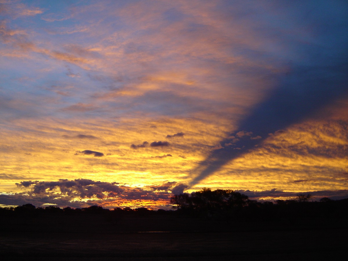
Eerie sunset near Mt Augustus
I was inbetween knee operations but felt that the time was ripe for an extended tour of Western Australia and in particular the desert areas. So Judith and I teamed up with our friends, George and Maureen from Darwin and we met up in Alice Springs to commence our travels. We ‘boarded’ our dog Jeddah with friends in Alice Springs.
After waiting for three days to obtain a permit from the Ngaanyatjarra Council to traverse the Gary Junction Road I gave up and we pushed off without the permit. Talk about bureaucratic incompetence! Applying for permits is a total waste of time and energy sometimes as there is no one out there asking to see your permit. That aside, we got out of Alice Springs late in the afternoon and on the spur of the moment decided to camp at Red Cliffs on Ellery Creek.
There had been no rain for quite a while in Central Australia and my recollection of Red Cliffs with its beautiful pool was shattered when we found it bone dry. We turned around and on the way back to look for a half decent campsite, I snagged a rock, which altered the straight lines of the Nissan’s right hand side step. At the same time a small sapling whipped off the bulbar and broke the side indicator light. Nice start to the trip, eh?
Darkness was falling with speed and we made camp on some rocky ground higher up out of possible flood waters, should it by some miracle, rain during the night. This was the first sleep in the new Oztent Ranger. The tent proved to be very good over the coming months and we were very happy with it.
Day two saw us drive through the magnificent West MacDonnell Ranges past Glen Helen Gorge, Haasts Bluff and on to Papunya Community and then further on to refuel at Kintore. We ran out of bitumen at Glen Helen and from there onwards the roads were pretty ordinary with long sections of severe corrugations. Both Papunya and Kintore Communities are a sad reflection of the hopelessness the aboriginal people subject themselves to and a far cry from our more ordered civilization. But there is always hope for improvement and better understanding of the plight of the First Australians.

Mt Sonder
At Sandy Blight Junction we met up with fellow travellers in a 100 series Toyota Landcruiser, towing a camper. We noticed that one of the taillights of the wagon was loose and helped out with some screws and a screwdriver. They led the way in to Kintore and promptly picked up a nail on the main access road, resulting in a flat tyre. We went and refuelled at $1.59 a litre from a fuel bowser, which was enclosed inside a brick building. When we were done we saw the bloke with the Landcruiser still fiddling with the flat tyre. It turned out that they were from the east coast and that the wheel nuts were rusted on. My mate George, and I, helped out with advice and a breaker bar and managed to get the wheel off without damage.
We pushed off on to the NT/WA border and once there decided to have a cuppa. Soon after the LC people rocked up and stopped to say thanks for the help. While we were chatting the bloke leaned on the front indicator light of his LC. It gave way suddenly and the whole light fell on to the ground, ripping the wiring out along the way. In an instant Judith sang “Oh what a feeling”. How embarrassing! The bloke did not know what to say. Neither did I. They took off soon after that, making excuses that they were in a hurry.
We only made another 10 kilometres west from the border when I spied a gravel pit and decided that at 4pm it was time to camp. The last week of April was still quite warm and a there were a few bities around. The flies were extremely annoying. We scratched around and found enough wood for a fire to cook dinner on.
The countryside flattened out a bit on the way past Kiwirrkurra Community. We did not drive the 3km in to the community. We started seeing lots of camels and over the next three weeks I estimate that we would have seen at least 1000 of them.
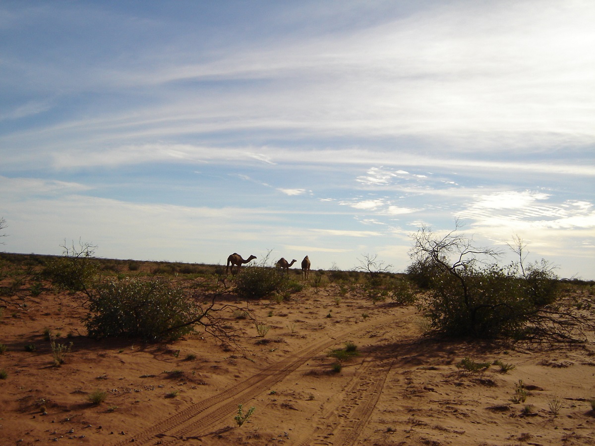
Camels
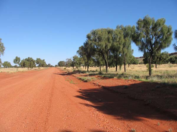
1km good road
At one section of the Gary Junction Road we came across this beautiful piece of road construction, formed higher above the plain and passing through a stand of Desert Oaks. Our spirits were lifted thinking that the road from here one was going to be good. Unfortunately it was only 2km in distance before reverting back to a corrugated track. We made our way past an abandoned community, searched and found one of Len Beadell’s originals plaques and made for Jupiter Well for a rest.
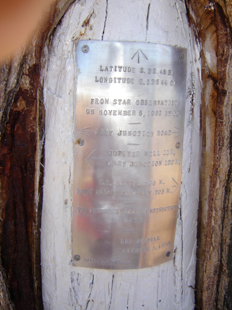
Len Beadell plaque
In the middle of nowhere the road reverts to a hairpin bend and the unwary could easily come off the rails (road) at this point. There was also a stretch of severe bulldust for about 20km. Then we passed a road construction gang just before Jupiter Well. They were working on a washed out section of the road.
Jupiter Well
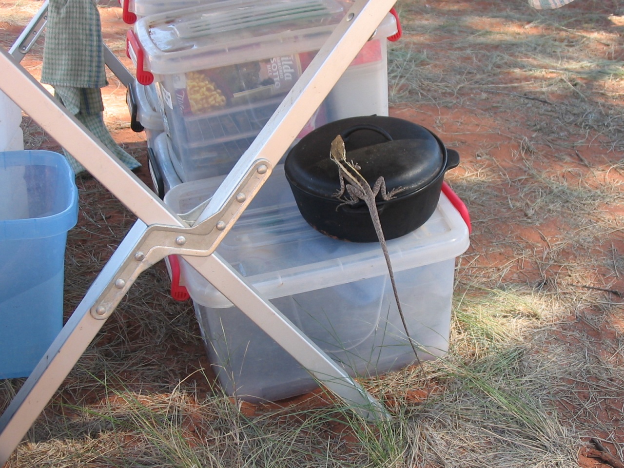
We spent two days doing nothing at Jupiter Well amongst the Desert Oaks. The flies drove us nuts. A friendly Two-lined dragon lizard made itself comfortable in the camp resulting in many photos being taken.
Two-lined Dragon
George erected Jimmy’s Thunderbox, which was located very discreetly inside a toilet tent and downwind from us. It was to be the only time we used this device. It is too cumbersome to set up and the old tried and tested method of bush ablutions works the best. No travellers passed while we were at Jupiter Well.
At Gary Junction, after signing the visitor’s book, we turned south along the Gary Highway connector track, which had no recent visible tyre tracks on it. Sections of the track were quite washed out and had to be negotiated with care.

Gary Hwy
We could not find the track to Veevers Meteorite Crater, marked at Wau Wau Bore on the map, but after a short search found the overgrown track about a kilometre further to the south. The 16km in to the crater was in reasonable condition with one or two major wash-outs. The crater is quite small and although we searched we could not find any tektites. After about an hour there and after signing the visitors book, we backtracked and camped at Wau Wau Bore that night. We were the third party to visit the crater this year, the first being there on 16 January.
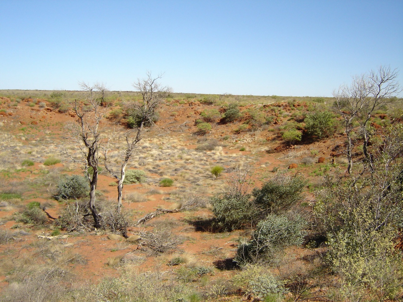
Veervers Meteorite Crater
The next day we made our way along the Gary Highway to Kunawarritji Community at Well 33 on the CSR, picking up a 60 series LC grille along the way, which from then on served as a shower stand. The welcoming sign at the entrance of Kunawarritji Community is in stark contrast to other communities and you are made to feel welcome here. We filled up our diesel tanks and jerrycans at $2.20 a litre and bought souvenirs and some supplies at the store. I had a chat to Jay Jay, a community elder about the weather and all things pertinent to community life. He introduced me to his son whom he said was a “Yella-fella” seeing as his mother was white. The son seemed to ignore the comment.
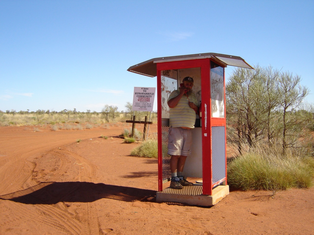
Desert joke
Well 33 provided good water and we caught up with our washing, topped up our water containers and took mobs of photos of the finches at the waterhole. The Canning Stock Route south from here was quite overgrown in places and we established that we were again the third lot to pass along this route in 2005. We looked at some of the Native Wells and also for Well 31. The track disappeared in to a thicket. I got out to walk a short distance when the mournful howls of a number of dingoes close by stirred my senses. I made a hasty retreat to the vehicle.
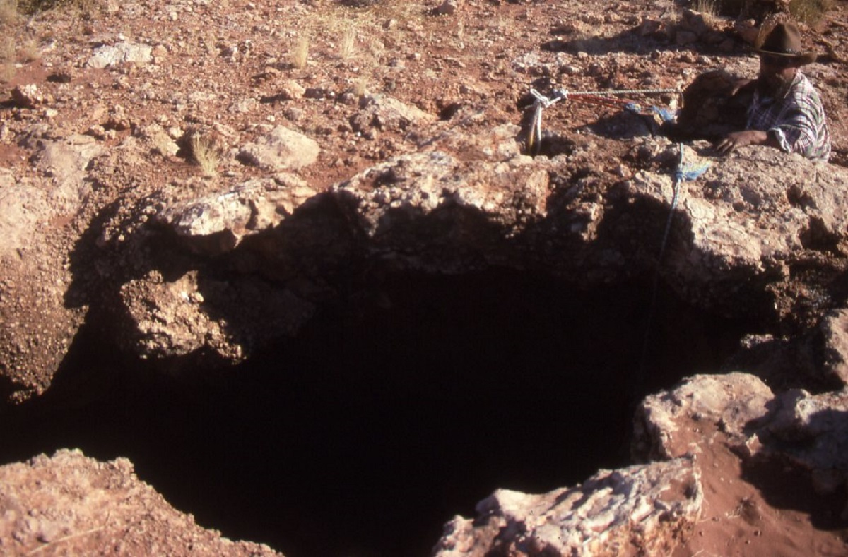
Mujingerra Cave
At Muginjerri Cave we found that it had fallen in since the last time we had passed this way in 1994. Between Well 26 and 25 we met our first traveller since Kintore. A man of senior citizen age who told us that he couldn’t stop to chat as he was running out of fuel and was making for Well 26. He was driving a petrol LC. He had not made provisions for the harsh terrain and there was no petrol to be had at Cotton Creek. His mates, he told us, were following a short way behind, and one of them would have to drive to Kunawarritji to get some petrol.
About another couple of kilometres further along we intercepted radio talk of how difficult it was getting over the particular dune. We saw a lady on the crest of the dune next to the track with a two way radio giving advice. I asked what the problem was and she said that her fellow travellers were finding it hard to cross this dune. I said that we would come over and give them a hand to which she replied that if they were having trouble we would too. I convinced her that we would be able to cross over and this we did easily to the amazement of the occupants of the 5 other vehicles . They were all senior citizens, driving new Prado’s, a 100 series with a trailer attached and a Landrover Discovery. When I asked about tyre pressures they were running, the reply was 30psi. I explained to them in no uncertain way to drop their psi to below 20. The lead vehicle fella told me to “Get Fucked” and took off at a rate of knots churning up the dune track with the trailer in tow just making it over the top at his third attempt. The rest followed, each one had to have two goes at this relatively easy dune. The last bloke dropped his tyre pressures and drove over with ease. We shook our heads and drove on. Then we heard someone say on the radio that maybe I was right and that they were dropping their tyre pressures. The rest added, begrudgingly it seemed, that they would do so too.
It was late afternoon when we got to the intersection of the CSR and Talawana Track and after a brief visit to the Capricorn Roadhouse fuel dump at Well23 we made for Georgia Bore.
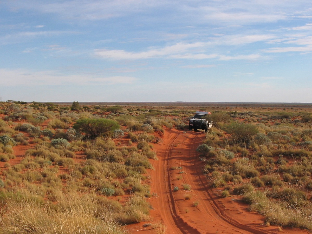
Canning Stock Route
It was good to get to Georgia Bore and to have a nice quiet camp. The water out of the bore had small black flakes in it and it was necessary to filter it. We managed again to find some dead wood and have a warm fire for tucker and Port before tucking up for the night.
We set out from Georgia Bore around 8.30 in the morning along the Talawana Track and after 9 kilometres in a westerly direction we came across the Landrover, which had been driven by the two blokes who perished out there in March this year. Virtually nothing had been touched or disturbed. Their personal belongings and their places where they had died were left as is. To make things worse, the people who came to retrieve the bodies even threw their surgical gloves and other recovery items, which had obviously been contaminated, into the bush. We were unimpressed. The Talawana Track at this point is shocking as corrugations make any speed uncomfortable. These corrugations must be the result of sustained travel by the truck which delivers fuel drums to Well 23.
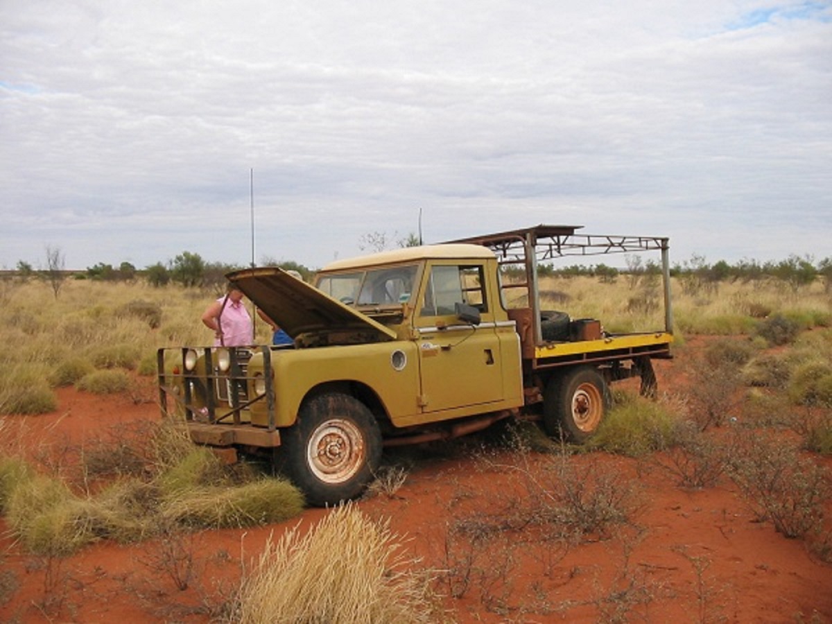
Ill fated Landrover
Further along the Talawana a wrecked trailer lay by the side of the road. We endured the shaking and rattles, wondering what was going to fall off. Suddenly we were at an intersection where a great big wide graded road meets the track. A right turn and the next 21km took us in to Cotton Creek Community (Parnngurr).
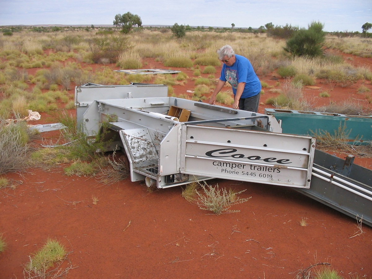
Busted trailer
I was aware that you had to ring ahead before entering Cotton Creek Community but had my answer lined up if asked. The Community Manager did ask and I said that I had come in to find out what the protocol was with entering the community. He thought this answer was very funny and we got on well after that. One community elder had 32 dogs lying around his house. We asked another elder about numerous dead camels we had seen on the way in and he replied that they were shot for dog meat. There are around 80 inhabitants at Cotton Creek and at least 500 dogs or thereabouts. Whilst Cotton Creek is not a regular refuelling place they did ask if we wanted diesel. We said yes and then took 50 litres each out of a drum with a hand pump. One, two three, four winds of the pump, to get four litres or thereabouts. Who knows how accurate it was at $2 a litre. Then we bought some supplies from the store and then I asked to see the community elder. We wanted access to the back way in to Rudall River National Park. Cotton Creek is part of the National Park; set a side for traditional use and a No Go area to outsiders. I asked anyway. At first the elder indicated we had to go the long way around. He was worried that it was too isolated and dangerous in view of the recent deaths on the Talawana Track. I explained that I was experienced in travelling to remote places and pointed to my grey beard. He pointed to his. He wanted to know what communications we had. I said HF and he shook his head. Then I said Sat phone and his eyes lit up and said “OK, but you be careful because the river might have water in it”. Then I asked which way out of town and he said he would show us. So he commandeered the Manager’s new Nissan GU with everything on it and showed us the track. We said our farewells and started on the track. Two kilometres from the start point the track divided into 5 tracks. It was then that I discovered that my GPS wasn’t talking to my laptop. So I had to go through the procedure manually. We found the right track eventually. It was very washed out and had not been used for a long time. Part of the track was so overgrown that we had to drive cross-country to get ahead. Always mindful of broken timber and stakes I had to be very careful where I placed the wheels so that we got through safely and that George in his GU could follow in our tracks. When we came to the Rudall River it was bone dry. A sign facing away from us stated that this area was set aside for aboriginal traditional use only and was not accessible to others.
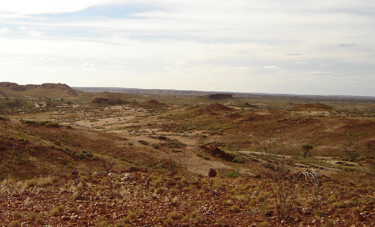
Graphite Valley
It was still early afternoon and a printed wooden sign alongside the track indicated a track to Graphite Valley. So down the track we went for 10km and a dead end. Some very rough sections were encountered and on the way back George took a wrong approach through a creek and cocked a wheel, much to the horror of his wife, Maureen. But he managed to extricate himself from the predicament. I had a mud map and a Hema map on Rudall River and we were searching for Kalkan Kalkan soak. We never really found it but found a waterhole in the general area. Trouble is it was now a camel watering place and they had made a real mess of the area with their droppings. Darkness overtook us and we camped in the camel dung. Which was quite dry, I might add, and it burned OK in the fire.
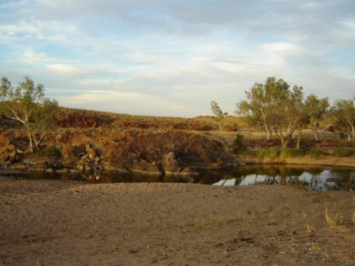
Camel dung camp
Rudall River National park is remote and I got the feeling that CALM would rather one did not go there. The only ‘park’ sign was the one in to Graphite Valley. The rest were crude signs scribbled on 44-gallon drums or hand painted on scrap pieces of tin. The park is quite scenic but not spectacular. This was probably because of the lack of rain. Camels had polluted most of the waterholes but we managed to find a small creek bed out of the main river where there was a swim-able pool and drinkable water. Whilst we were cooling off in the creek a Brown Snake came down to the water for a drink. We sat in the water very quietly and watched it drink. Then it spotted us only a few metres away and wriggled up the embankment and out of sight at a rate of knots!
We spent four days in Rudall River including a drive up to Desert Queen Baths. The flies drove us insane. We saw no one until the last day when two vehicles were spotted in the distance. At the Desert Queen Baths campsite we found a dead dingo hanging from the branch of a tree smelling most foul. Someone was obviously intent on keeping others away. Human or animal!

Entrance to Desert Queen Baths
Now, getting to the baths meant a bit of physical rock hopping, which put me out of the picture. So while the others went for a walk I opted to drive to a nearby cave where someone had made a track right up to it on the side of a hill. From below it looked an easy drive but once at the top I realised just how steep it was. After taking some pics I put the truck in reverse and let her idle down the slope guiding by means of the mirrors. It was definitely a lot steeper than I had first thought

Comptons Pinnacle
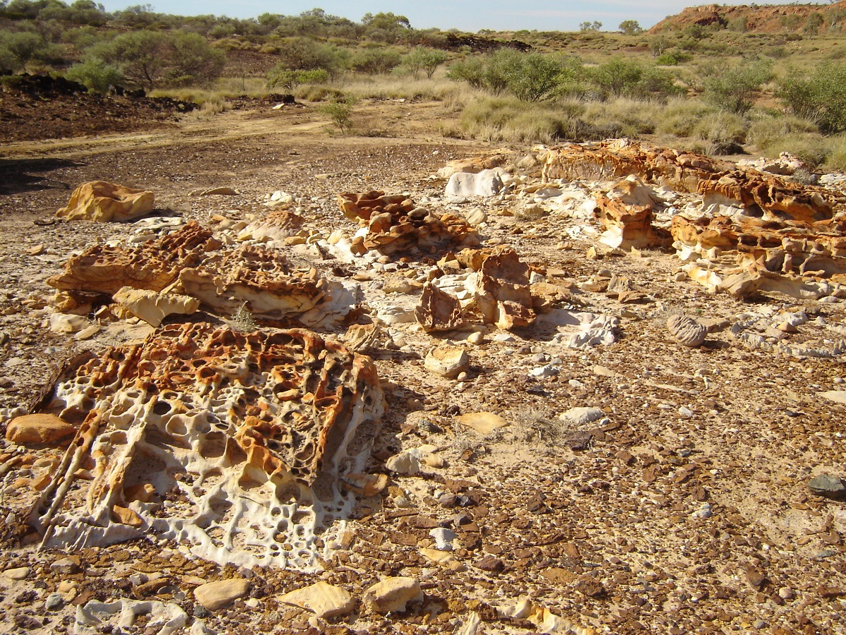
Honeycomb Rocks
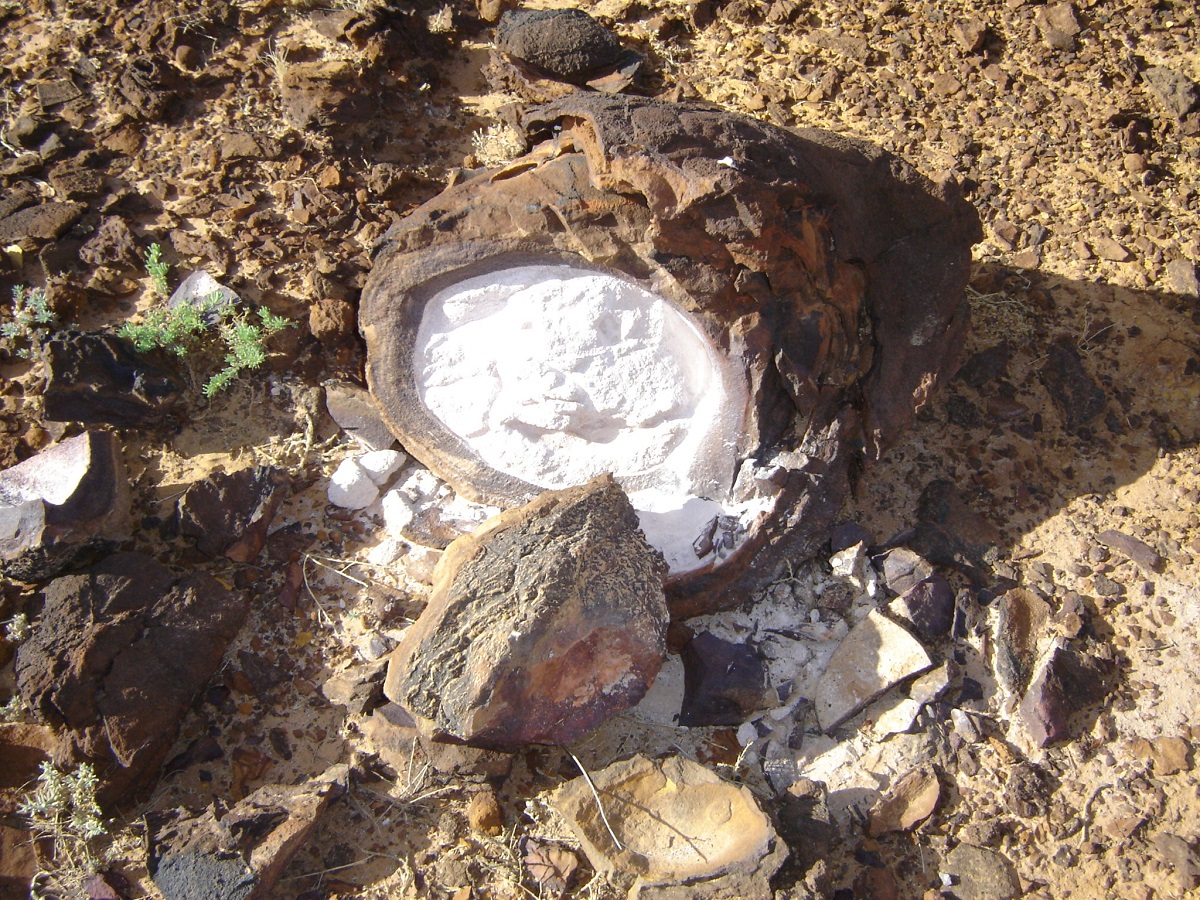
Talc egg
We drove out of Rudall that same day and sped on to Newman along a graded Talawana Road. At Newman we did touristy things. Camped in the caravan park and met up with other internet friends by chance.
After leaving Newman, we visited Wanna Munna rock carvings (petroglyphs) and spent a night at Karijini National Park.
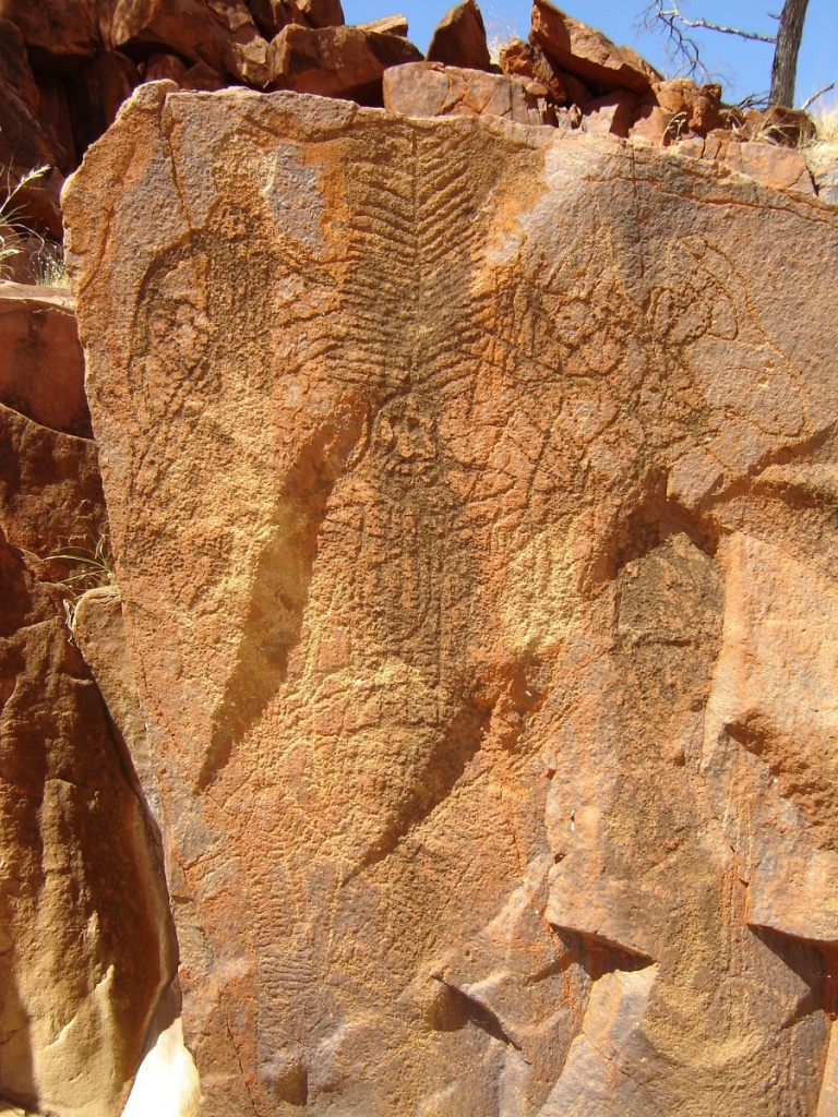
Wanna Munna Petroglyphs
We could not do most of the walks but took pics of all the touristy accessible places and had a good time.
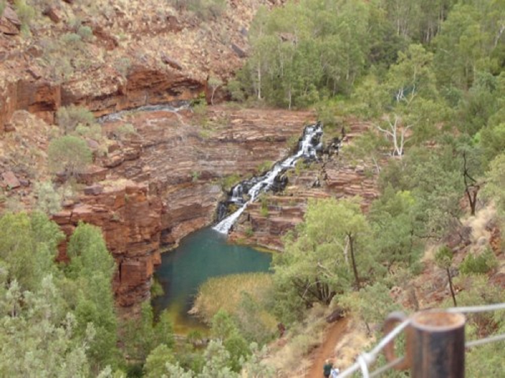
Fortesque Falls
Then we drove on to the mining town of Tom Price where we drove up a 4×4 track to the summit of Mt Nameless and a stunning view of Tom Price, the mine and the Hamersley Ranges. The following day we did a mine tour, which was equally breathtaking in just looking at the scale of operations.
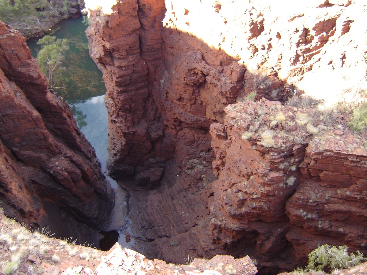
Junction Pool
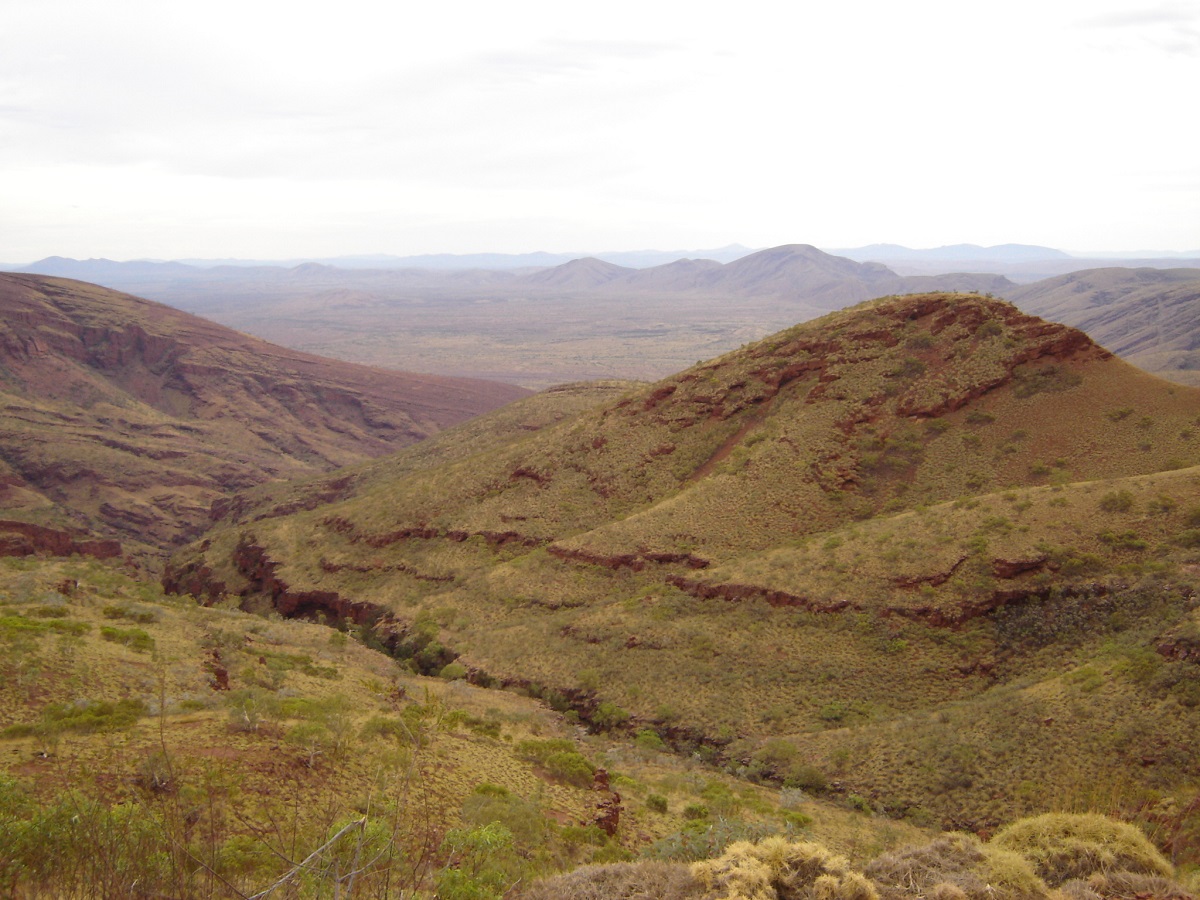
Mt Nameless view
From there it was on to Paraburdoo for a refuel and on to the Ashburton Downs road heading for Mt Augustus. We camped on Pingandy Creek that night and some clouds appeared on the horizon. It did not rain however and we were able to make good time towards Mt Augustus the following morning. Some of the vegetation along this way is quite interesting looking like Bonsai trees. George mentioned something about a black cloud and I said it seemed to be drifting the other way.

Mt Augustus in the distance
We drove on. Then, seemingly out of nowhere, this little black cloud caught up with us. With rain drops the size of 50cent pieces it bucketed down a blotted our vision completely. We were going nowhere. Twenty minutes later it was all over but there was water gushing out of the hillsides. The road was awash with water up to half wheel height. After an hour I still advocated doing nothing and George decided to go for a walk to see what the road looked like further on. It had stopped raining. I rang Mt Augustus Resort on the Sat phone. They gave me the Mt Augustus Station number and I rang the owner, Don. He explained that we would be going nowhere for at least a week if we proceeded towards Mt Augustus as they had had 50mm of rain that day and some the previous week as well.
Serious rain

Flooded road
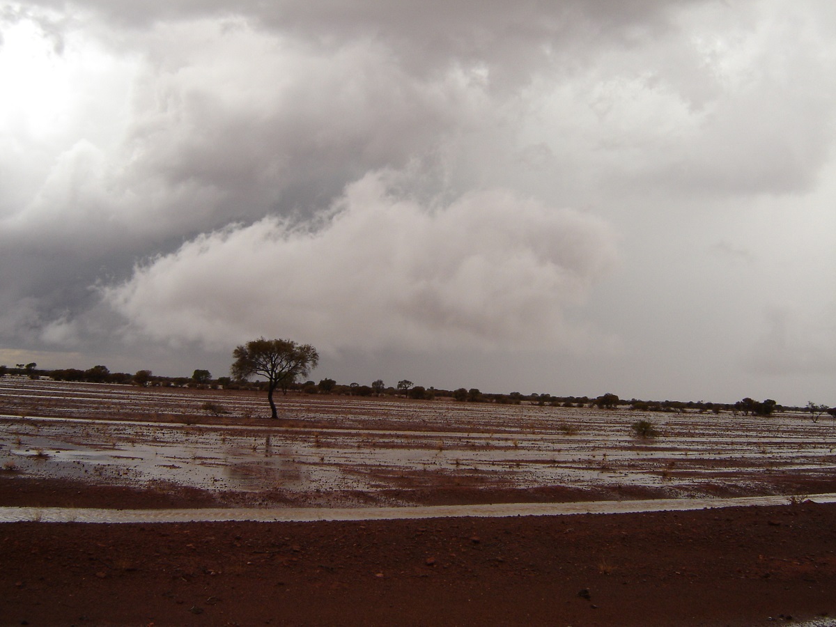
Water water everywhere
I asked permission to camp at Dooley Downs Station we had passed earlier and he said that, that was in order. There was no one living at the station. At Dooley Downs I cleaned the rain gauge out (dead gecko) and measured the rain. We made camp at the driest spot on the gibber. That night the frogs came out and croaked their merry songs. We took or torches to see them at the edge of the newly created billabong.
The next day the clouds dissipated a bit and a clear day was looming. However, we backtracked the 130km to the Ashburton Downs road again and turned right towards Meekatharra. I rang Don at Mt Augustus Station, gave the rain measurement and told him that we were going east. He was very appreciative of the fact that I had called him again.
Somehow we got our maps mixed up and the road to Meekatharra turned out to be about 200km longer than anticipated and both of us did not have a full load of fuel on board. So we were watching the fuel gauges intensely. Nevertheless, we pussyfooted it in to Meekatharra arriving there just on dusk. Then the heavens opened up again and it bucketed down. We grabbed the last two motel rooms in town and settled in for a few cold beers and a hearty meal. I had Kangaroo Road kill, as stated on the menu.
The Royal Hotel has a section of glass in the floor of the bar where you can see down in to the cellar. Below it there seems to be a drunk asleep against the wall with many empty bottles lying around him. Pub serves an awesome plate of food
Along the road we passed through Mt Magnet an old gold mining town. Had a look at The Granites outcrop just before the town of Sandstone. We visited London Bridge (what a silly name) and the Brewery which were very interesting sandstone formations. The Brewery was a cave in the sandstone. It was hewed out some more and a air vent dug in to it and they brewed beer there for some time
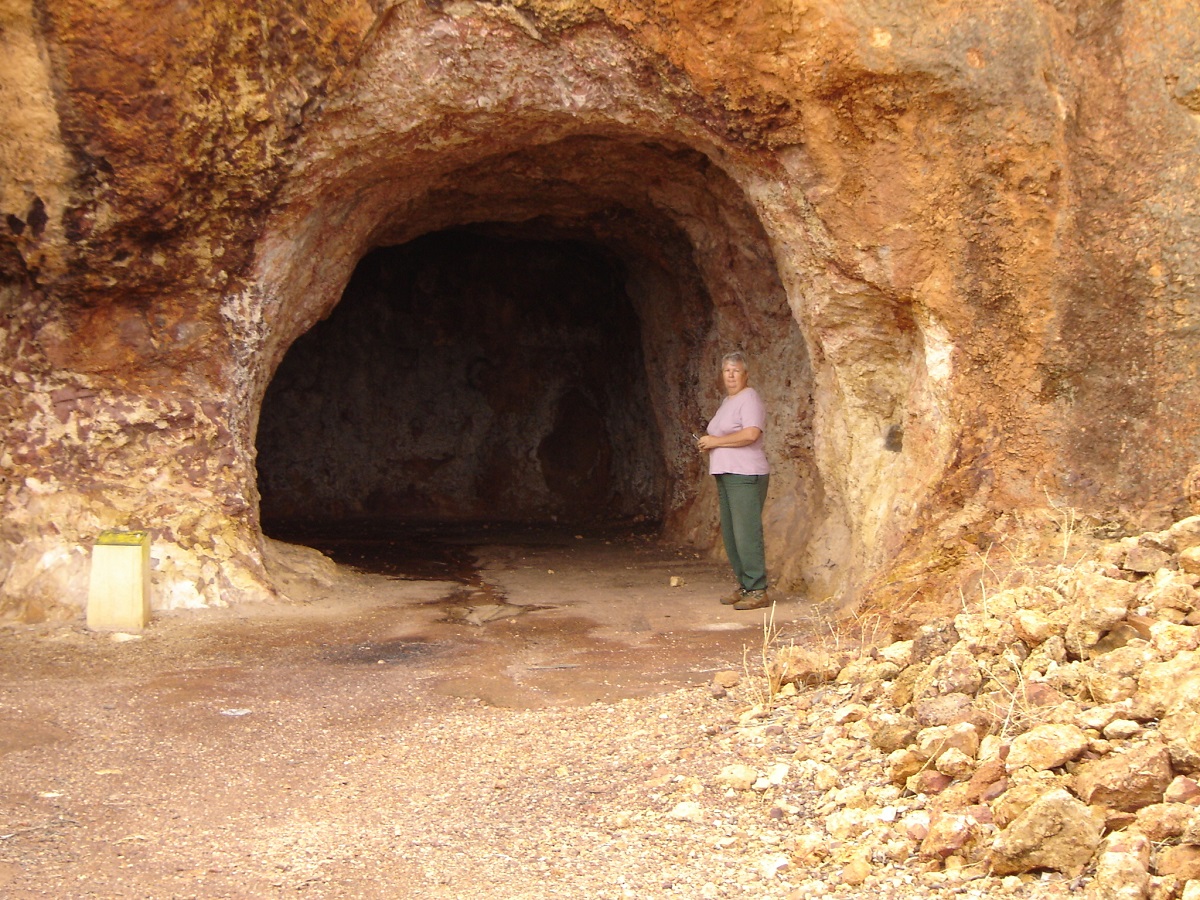
The Brewery
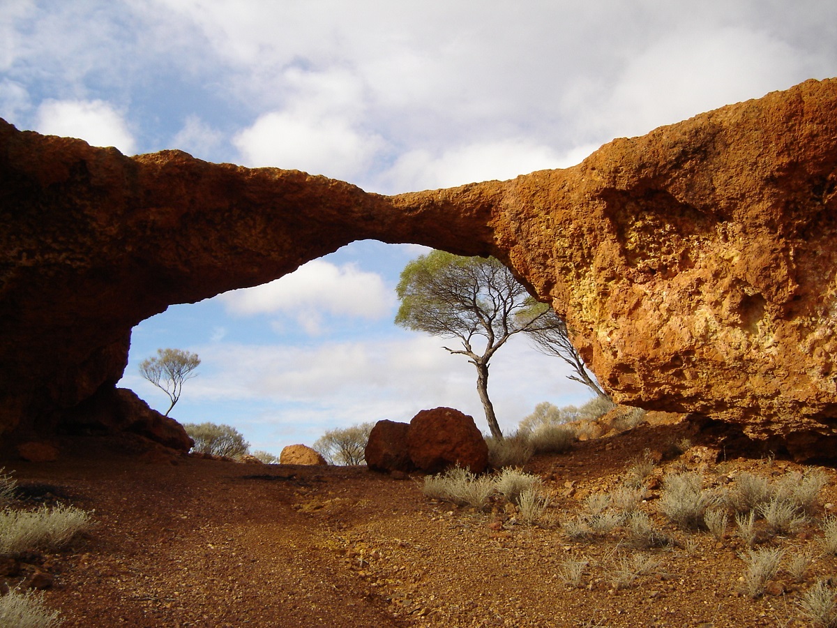
London Bridge

Air vent in Brewery
We stopped at a lookout on the way to the town of Leinster. There we discovered that the wind blowing up and over the small escarpment whistled through the retaining fence making a haunting sound. Not sure if anyone knew about it.
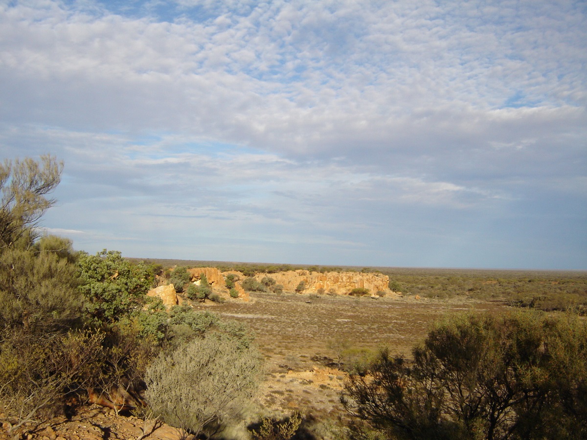
Whistling Fence lookout
Leinster is a Nickel mining town. As there was only one motel in town and it was booked out, we stayed the night in cabins at a nominal cost and we ate in the Mine Mess for $11 head as much as you can eat. I think we overdid it!
Cue had some cute old tin buildings.

Tin Houses in Cue
Leonora was another small outback town with the Ghost Town of Gwalia just to the south. Here people were invited to invest in the old historic buildings and at auction they were sold to locals with the idea of restoring them. This they have done and it is a fascinating place. Sons of Gwalia Mine is close by.
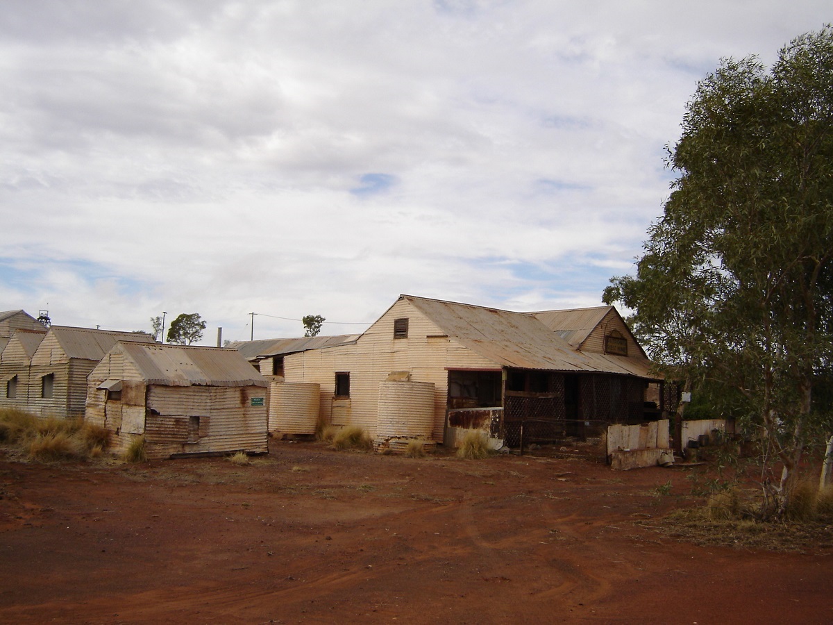
Gwalia Ghosts
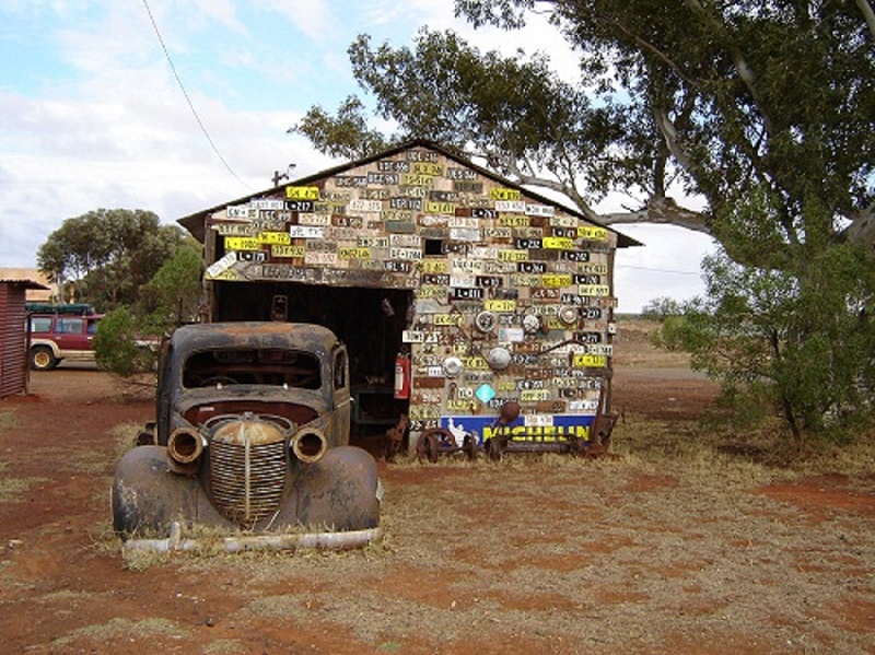
A wall of numbers
Menzies was another town steeped in mining history
Kalgoorlie is big and busy and the Super Pit is awesome to say the least. It is reportedly the biggest Open Cut Mine in Australia. Here we enjoyed the hospitality of my internet friend, Allyn Cooper, who also organised a Sunday run with the Eastern Goldfields 4×4 Club. A couple of very rough tracks were driven and there was a bloke with a 6.2 diesel 80 series that idled out most of the rough spots making it look so easy.
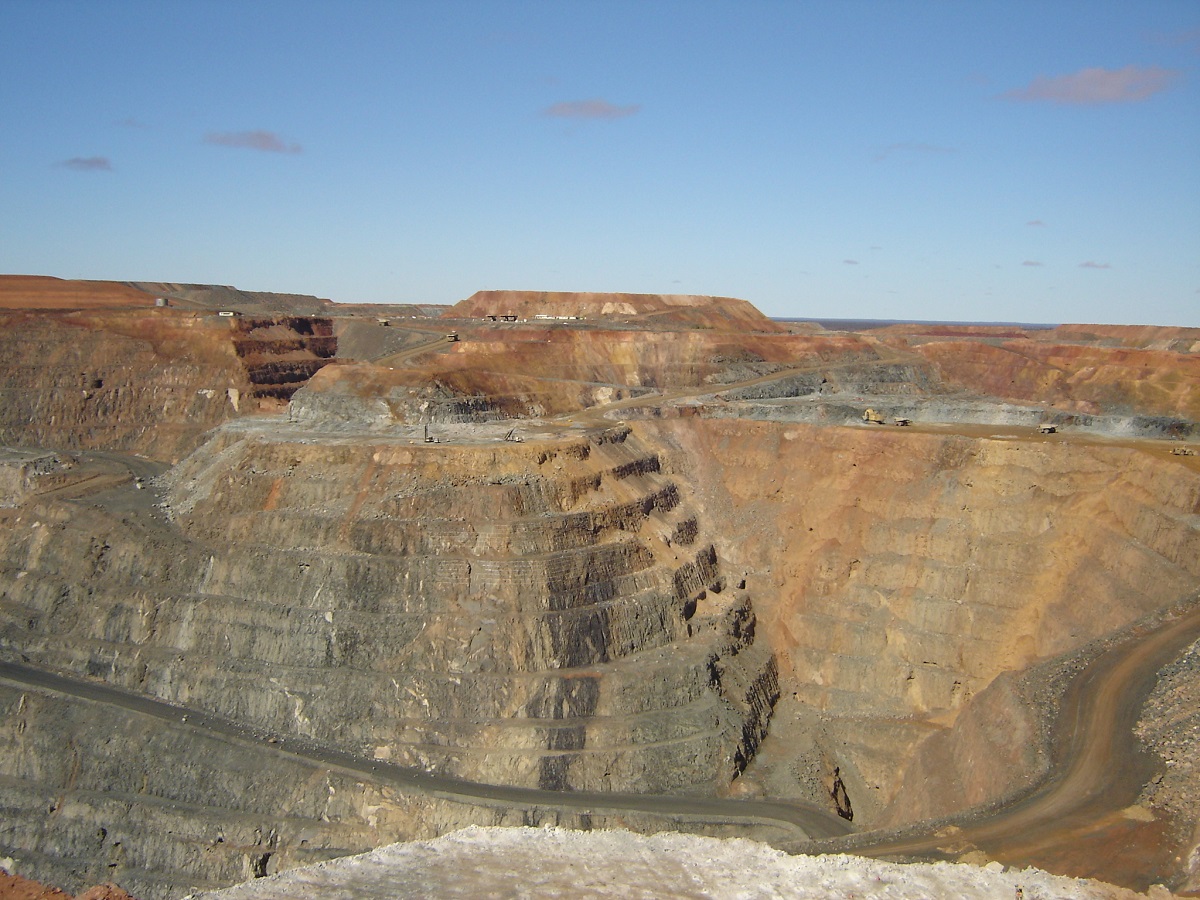
Super Pit
Coolgardie. This is another relic from the past with a rich history. It has an excellent information centre. There I spoke with travellers from Tasmania who were well set up for life on the road
Full time travellers
A short distance to the south-west of Coolgardie, we tackled the Holland Track. It had rained within the last 24 hours and all the holes along the track were full of water. There are various rock features along the route, which twists in and out of the trees and scrub. Unfortunately a huge fire had burnt out a great section of the vegetation in February this year.
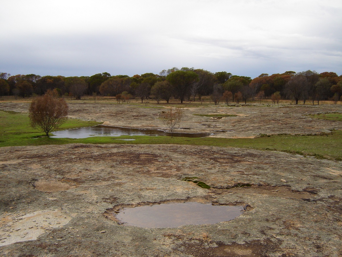
Thursday Rock along the Holland Track
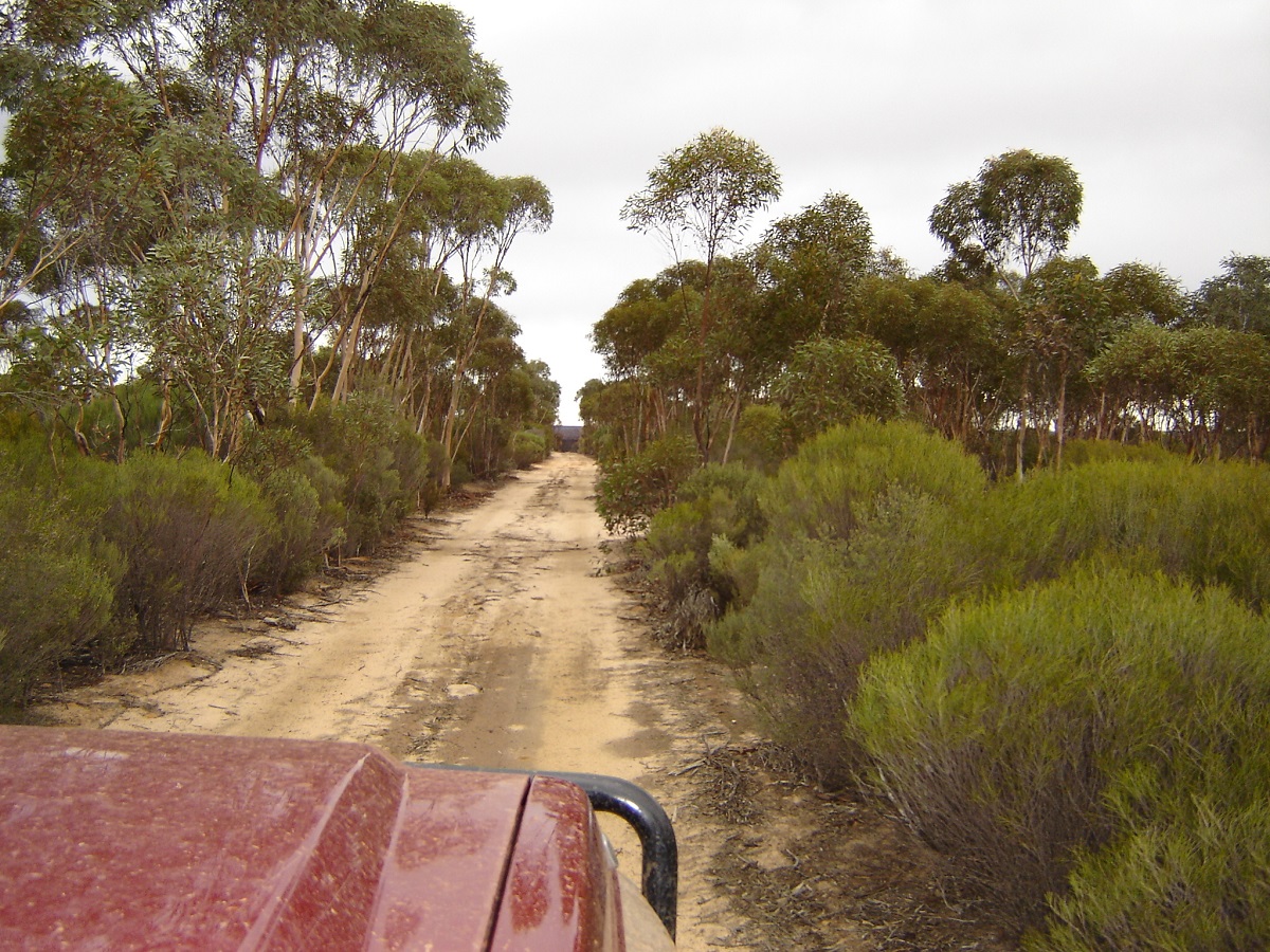
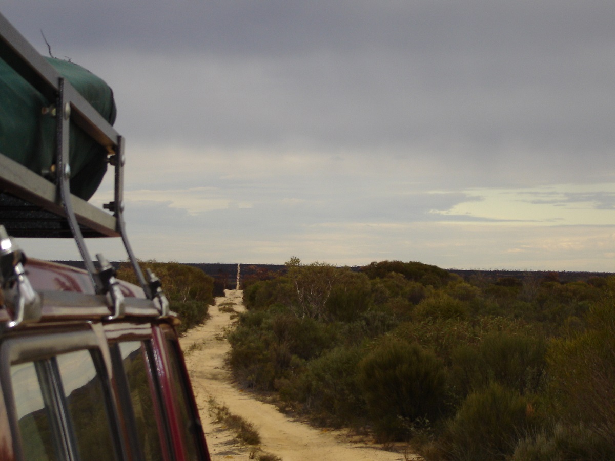
Holland Track
We picked up numerous scratches along the body panels of the Nissans and ploughed through endless mud holes. We had a good overnight camp in the forest and a shower of rain chased us in to the tents. Fortunately a wind sprang up later and dried the tents out. The following day we met up with members of the Perth Toyota Club who were restoring signs and other things on the track. By the time we got to the Southern Cross Road we had had enough of this track and made for Wave Rock and Hippos Yawn, two fascinating rock formations.
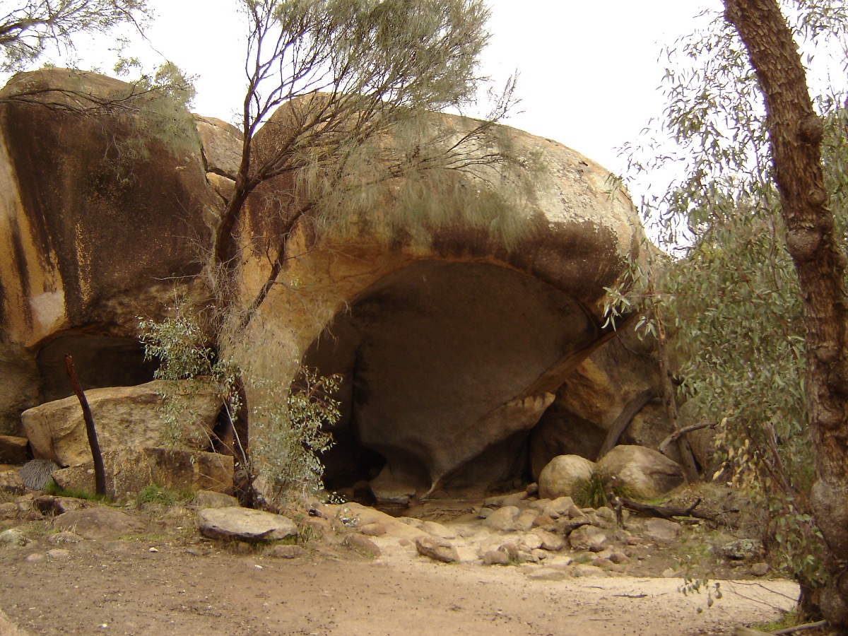
Hippos yawn
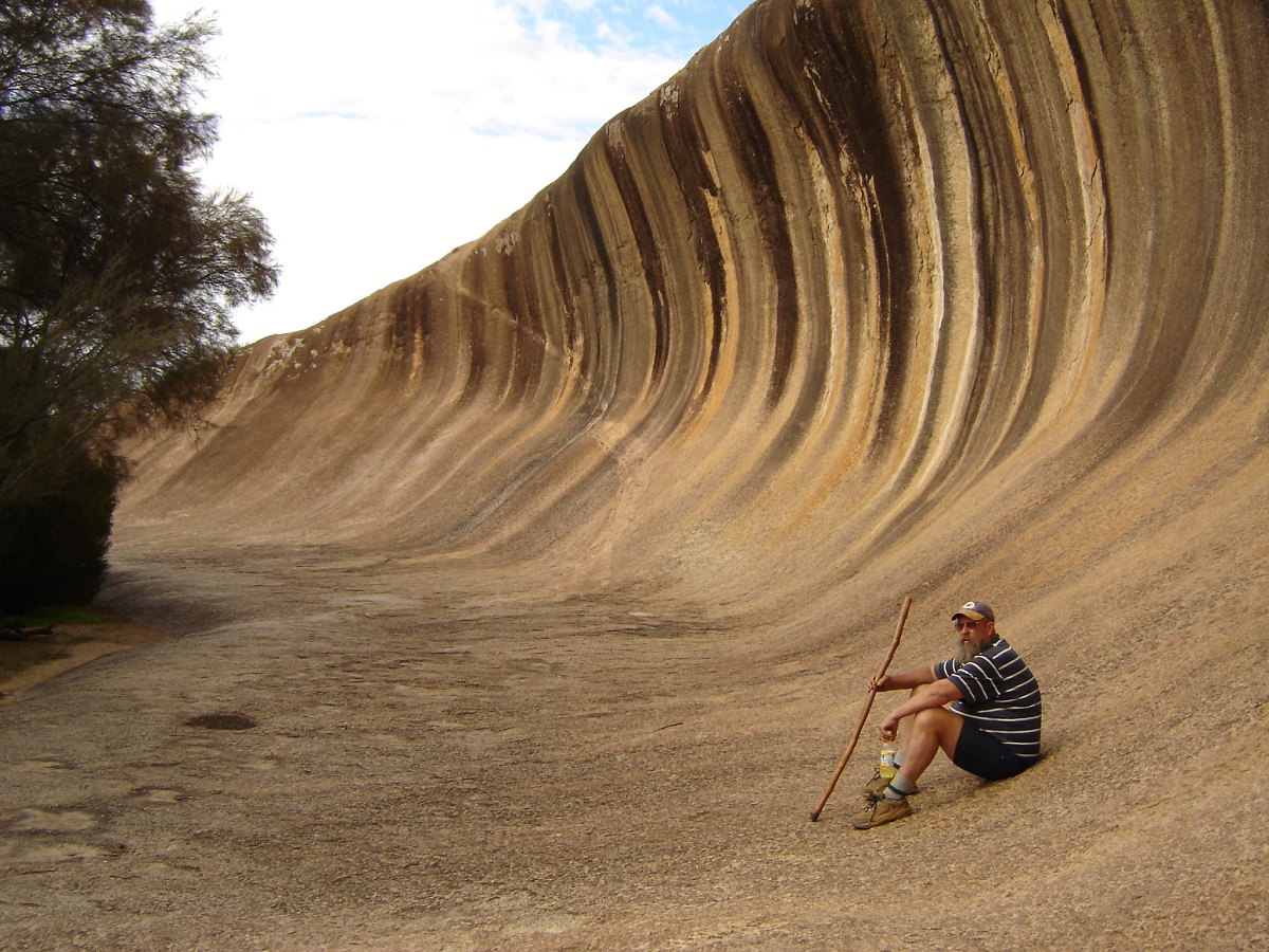
Wave Rock
Close to Wave Rock the GQ’s oil light came on. We inspected everything but found nothing wrong. It would not go out even after we got to Perth so I disconnected the wiring. From Hyden we made it to Kondinin where the rain came down again and so we opted for another night in a motel. We ate at the local pub whose service and food left a lot to be desired. One has to strike a bad one somewhere along the line or so the law of averages go?
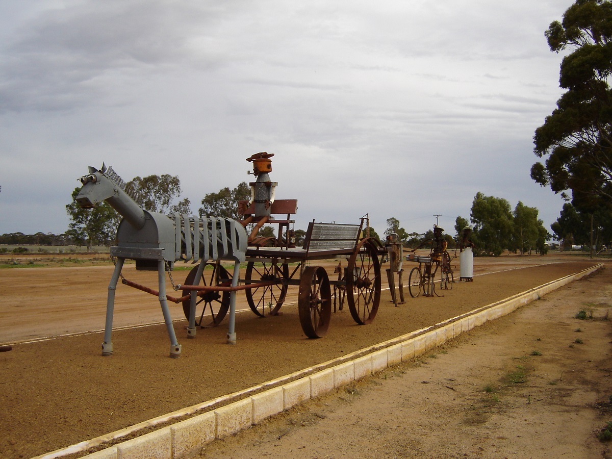
Metal Art at Hyden
We passed by the towns of Corrigin, Quairading, York, Northam and Toodyay (pronounced Toodjay) where we visited old friends.
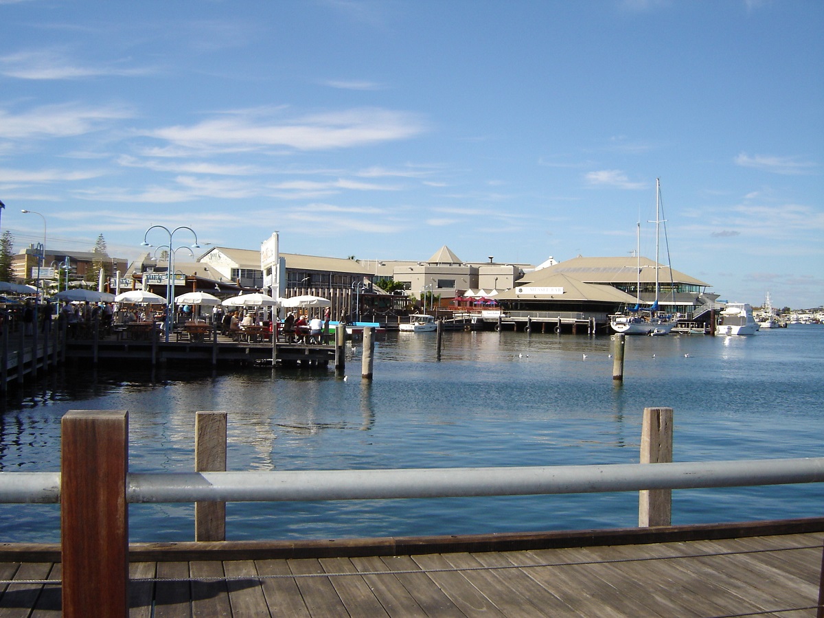
Fremantle Waterfront
In Perth and Fremantle we did a family thing and also visited Art Galleries, Museums and ate good seafood at the Kailis Seafood Restaurant at the wharf in Freo. We stayed at the Cherokee Holiday Village where we rented two chalets for a week. Just before we were due to leave the manager approached me and asked where we were going next and when I replied Margaret River he suggested that we could rent their holiday house for the week. The price was right and so we agreed that it would be a good thing.
On the way to Margaret River we visited stromatolites on the shores of Lake Clifton, after getting lost and doing an extra 75km.
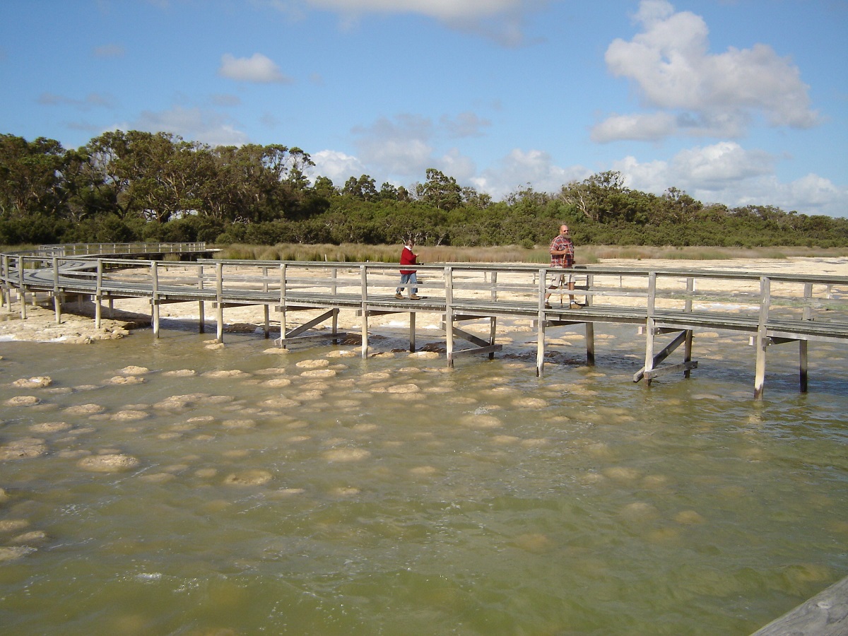
Stromatolites at lake Clifton
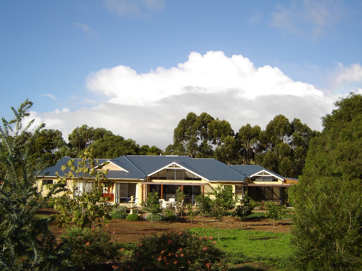
Our Margaret River house
We were discussing this house on the radio, which we had rented, sight unseen, and wondered just how bad it may be. When we drove up the road to the address we couldn’t believe our eyes. There was an, as new, Half a Million dollar house set on 3 acres. All glass, selectively furnished, with views and everything you could wish for. All we had to supply was tucker and drinks. Kookaburras and Fairy Wrens kept us amused in the garden while the neighbours red dog came over every morning for a pat and a cuddle. We had a good time at Margaret River. We visited wineries, cheese factories, art and craft shops, a lavender farm and more. I had to give the visit to Lake Cave away as there were 650 steps to negotiate but the photos are a good reminder of a fabulous place that Judith, Maureen and George visited.
Lake Cave
Glistening Stalactites
We also visited an internet friend, Judy, and her family, on a farm near Bridgetown. A good time was had by all and we were sad to leave the Margaret River area. Before we left however the Datto developed a water leak. It was dripping from the gearbox. Much crawling around under the truck with a torch revealed that the water pump had come to the end of its life. On the Saturday morning we drove to Auto One aftermarket shop in Margaret River and unexpectedly found a 4.2lt diesel water pump for $140, which we thought, was a good deal. The Nissan is so easy to work on and after removing the fan shroud, the radiator came out by undoing the hoses and removing two bolts at the top. We had the Datto up and running again within a couple of hours.
Heading South East we were getting in to the Big Fella Tree country. We stayed two nights in Pemberton and did a Tram ride through the forests learning new things about Karri, Marri, Jarrah, and Tingle trees from the tour guide and tram driver who seemed to talk without taking a breath. Had a look at the Gloucester Tree, which used to be a Fire Lookout. My mate George went up about a quarter of the way before chickening out. Me? I stayed on Terra Firma.
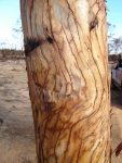
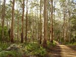
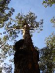
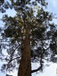
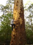
The next day we made for Warren Beach in D’Entrecasteaux National Park along a forest trail. There were some detours as recent rains had flooded the creeks and washed river crossings away. We were only able to access the beach south of the Warren River. At a point along the track a sign advised us to drop tyre pressures and as usual I advocated 16psi. We made our way through a very nice coastal wooded area with moss laden trees to come out high up on a pure white sand dune to see the Southern Ocean and the white ocean beach in the distance. About 2km of inter dune driving along very sandy tracks saw us parked on this beautiful beach. But where was George?
“Uhmmmmm ..Just having a look at something, mate” came the reply over the radio. Five minutes later with the GU screaming top revs George burst on to the beach. “You were bogged, eh?” I questioned. “Uhmmm…yes” came the reply. “What pressures are you running? ” “Uhmmm…. 20” Go figure!
The way off Warren Beach looked quite daunting, as the dunes are large and steep. I chose a straight up approach on a sidetrack and only just made it to the top in 1st gear High Range at 3500revs. George had two goes and also made it to the highest point. We got off the dune area safely and headed along forest tracks back to Pemberton getting lost a number of times and having to backtrack on more than one occasion.
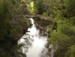
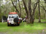
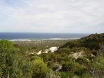
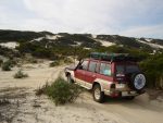
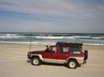
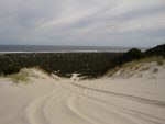
Our next adventure was driving through Shannon National Park amongst some of the giant Karri trees. Then it was south via Deeside Road and Chesapeake Road to Signal Point at Broke Inlet. The camping sites did not look too inviting there so we made for the blacktop and Walpole. Accommodation was booked out there and we pushed on for a short distance when I spied a small sign of the side of the road stating Riverside Retreats. Here we were accommodated in a new cottage overlooking the river and Nornalup Inlet. Our hosts were very friendly and couldn’t do enough for us. We stayed two nights. Tame Kangaroos and wild ducks were fed bread every evening. It was an idyllic spot.
The following day we made for the Valley of the Giants in the Walpole Nornalup National Park. The walkway reaches a height of 40metres and is 600metres in length. I managed to borrow a wheelchair from reception and George delighted (and puffed) pushing me along the narrow ramp. It is truly an amazing sight to be able to be in the tree top canopy.

Tree Top Walk
We went early in the morning and avoided the rush, which arrived just as we had finished our walk. Then there is the Empire Walk around the base of the Tingle Trees and just as spectacular.
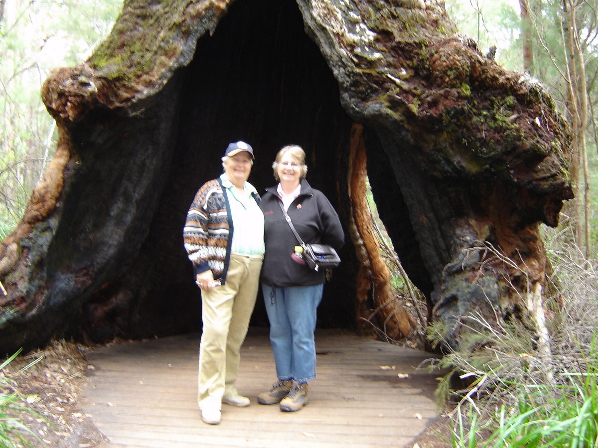
At the base of a Tingle Tree
The rest of the day we toured down to Peaceful Bay and some other tracks in the national park, seeing the Frankland River in flood creating huge amounts of foam on the turbulent waters as a result of tree sap leaching in to the river.
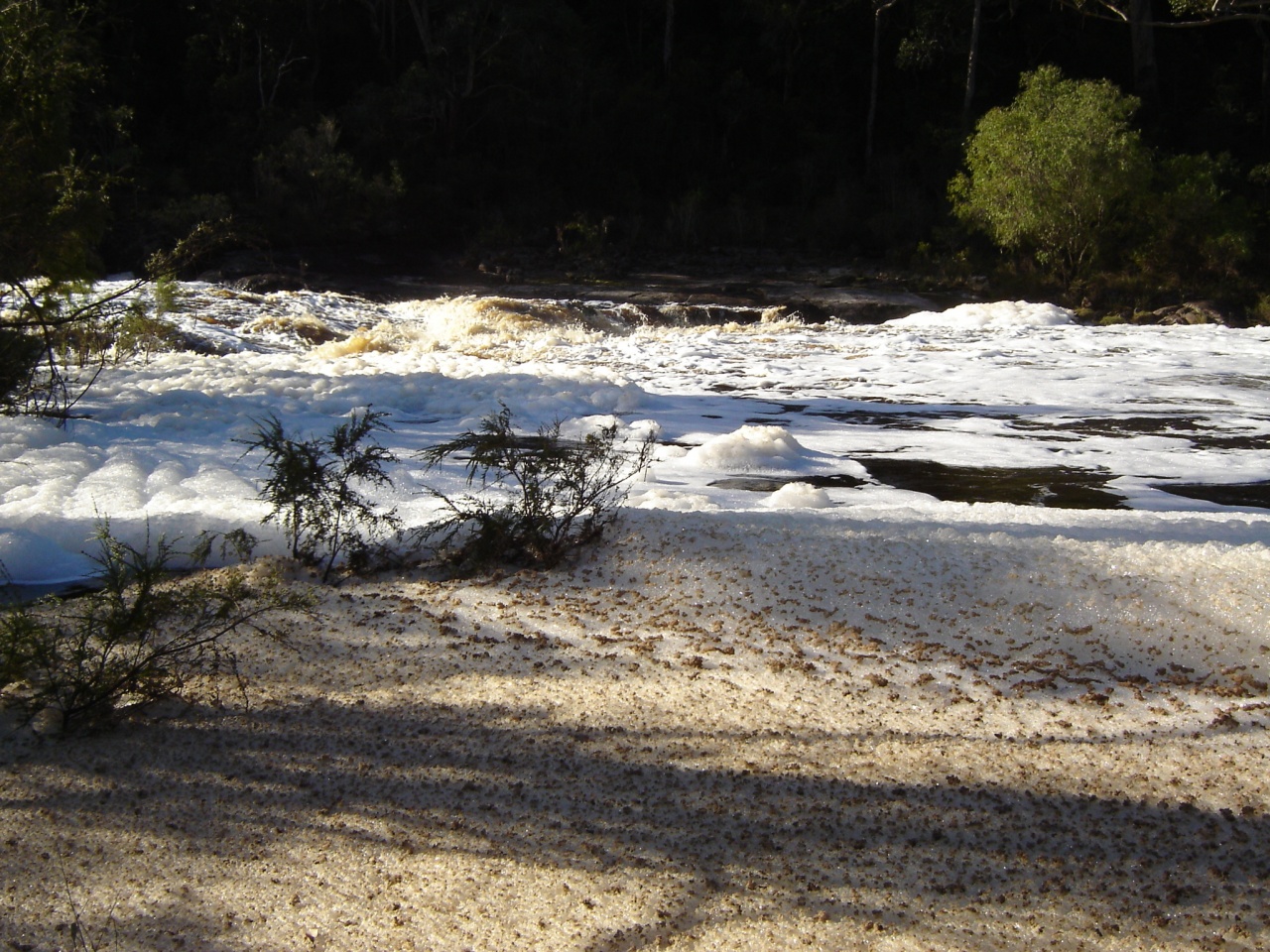
Froth and Bubble
On the way to Denmark we stopped off at the Bartholomew Meadery and ate mead ice-cream.Yummm! Needless to say the girls had a ball buying this and that and some mead wine which we still have to sample. Had a look around Denmark and drove out to Ocean Beach lookout. In Albany we chose the wrong Caravan Park to stay in a cabin. I complained slightly the next morning because the mattress had a hole in it but Judith went to the office and gave them a piece of her mind and we got upgraded to a luxury cabin. That put us all in a better mood. We did all the tourist drives around Albany and must see sights and even saw two Humpback Whales frolicking in the harbour.
From Albany we made our way to Fitzgerald National Park while George and Maureen went to visit a friend in Mount Barker. We were very impressed with the diversity of flora in Fitzgerald NP and the camping facilities were very good with gas BBQ’s and secluded tent sites. We managed a short walk to the beach and saw more whales in the bay.
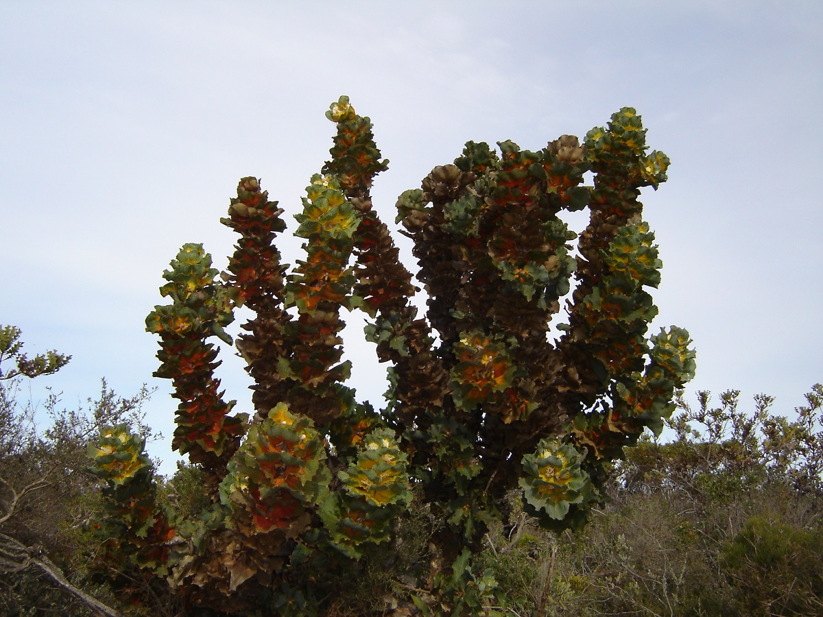
Alien plant
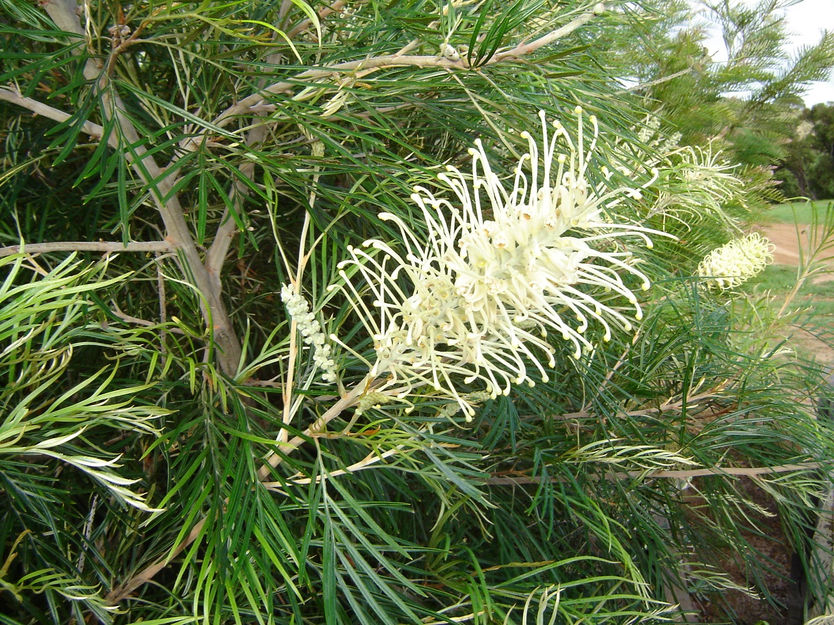
Grevillea
I had parked the GQ at an angle to get better access from the campsite to the rear of the truck. This is when I noticed oil dripping out of the bell housing. Yes, it looked like the rear engine oil seal was leaking, again! The oil had accumulated in the bell housing. It must have oiled up the clutch plate and the thrust bearing. But everything seemed to be working OK. I was a bit worried about getting home and bought some extra oil in Esperance but never opened the container. A splash of oil always seems to be so severe when it is only a drop. The oil seems to leak more freely when motoring at blacktop speeds but when doing 4×4 treks in the rough the leaking seems to stop.
We took the back roads through the national park through Hopetoun and eventually Esperance. The scenery is breathtaking with high mountains cropping out of nowhere along the coast.
Three days at Esperance didn’t do it justice and we could have stayed longer. We had a good deal on a cabin with stay two nights and get an extra night free. The beaches around Esperance have fine white sand and which in turn makes the waters and iridescent colour, which then gradually fades in to a deep blue. I have only seen beaches like this in the Seychelles Islands.
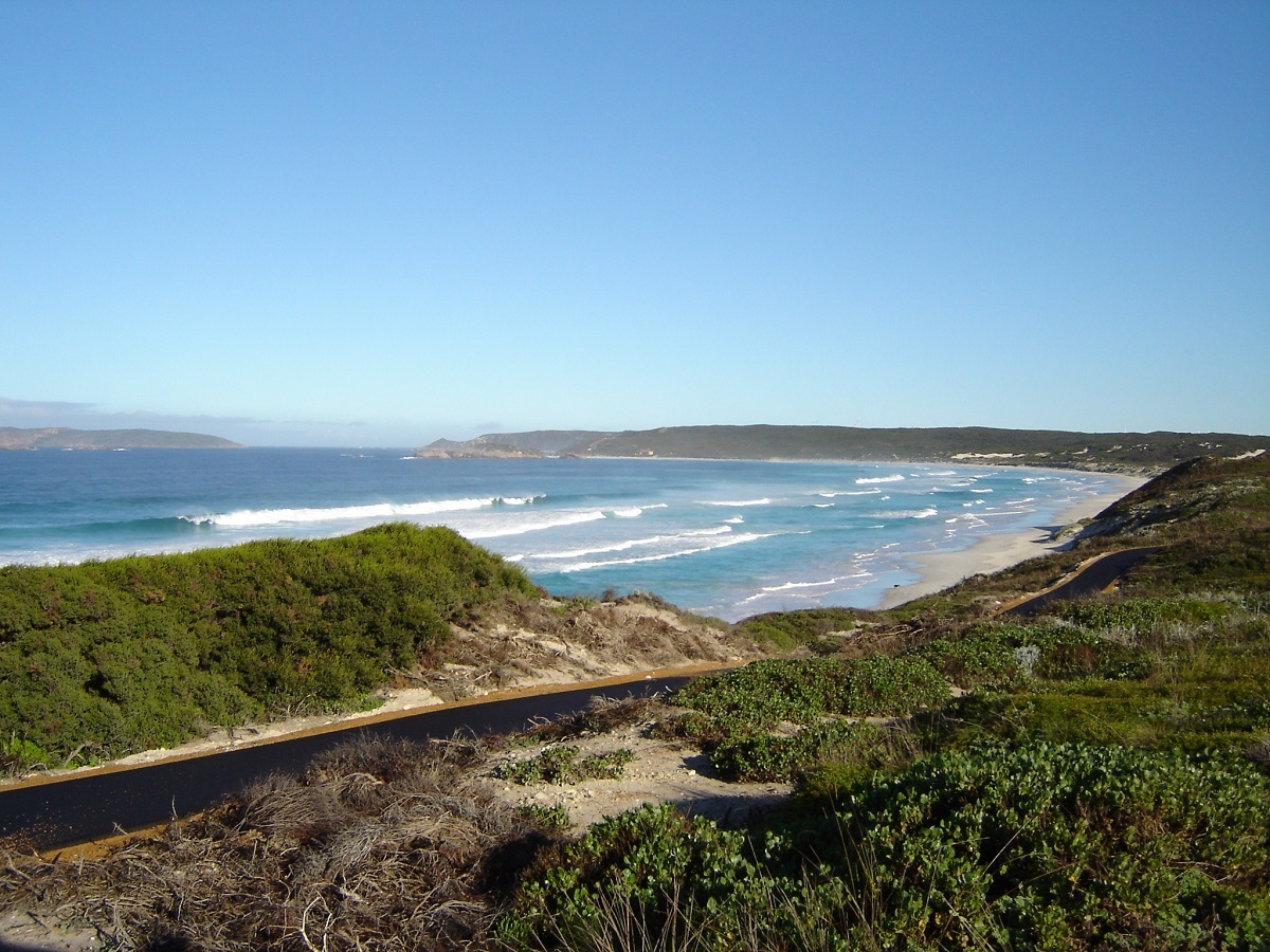
A Esperance Beach
We made our way to Cape le Grande National Park, which is, in my opinion, one of the prettiest spots in Australia with those magnificent beaches, which, believe it or not, you are allowed to drive on. I think that it may even be possible to drive all the way along the beach from Esperance to Cape le Grande. This was something we did not investigate.
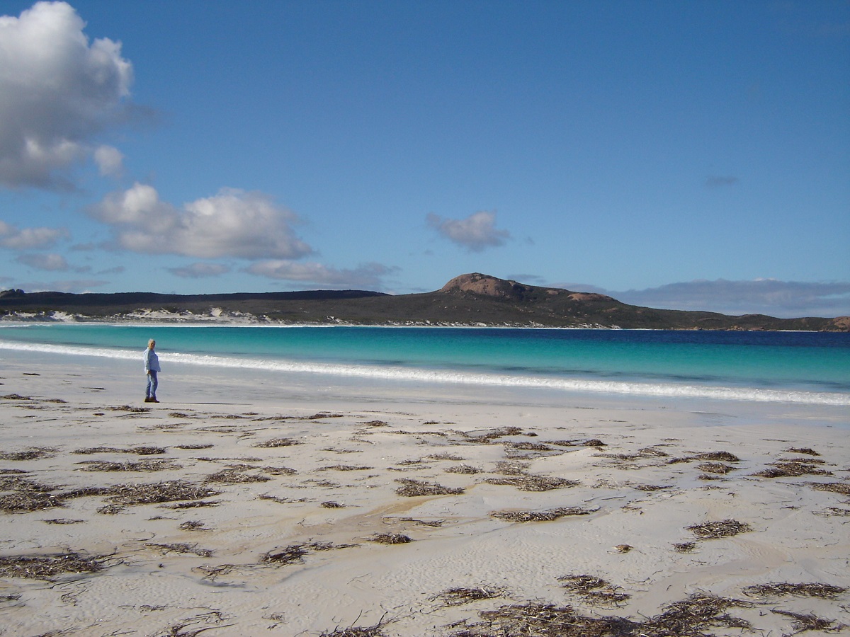
Cape Le Grande
Our last fuel stop was at Condingup on Fisheries Road before we made for Jorndee campsite in Cape Arid National Park. We camped snug in the coastal vegetation in a designated spot. A very tame bandicoot came out of the bush looking for scraps of food and became an instant celebrity with the bush paparazzi taking many pics of it.

Mount Arid

Friendly Bandicoot
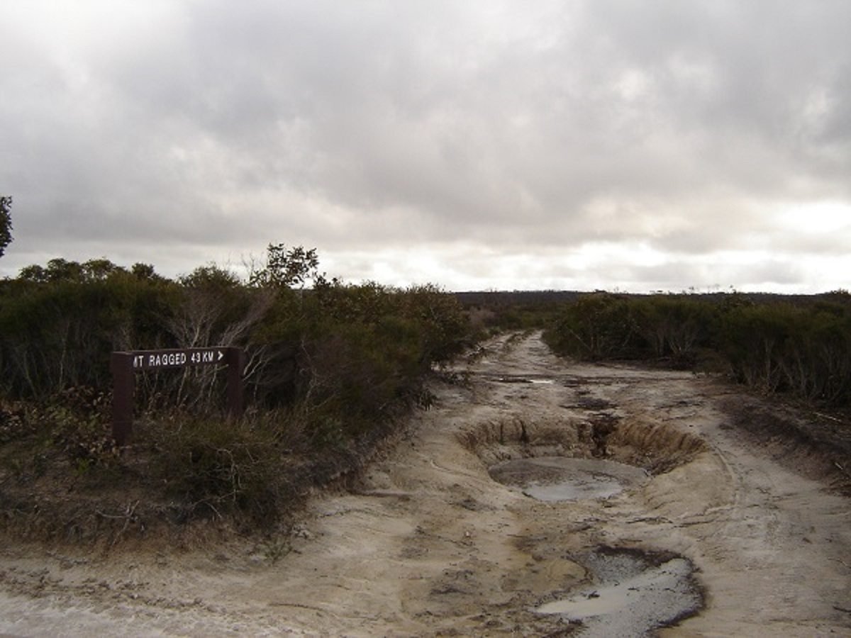
Serious Pothole
The rain caught up with us at last and it poured through the night. We had a very sparse breakfast under a camp lean-to, put the trucks in 4×4 mode and set out for Israelite Bay. Once back on Fisheries Road it carried on a developed road for 2km, before deteriorating to a scrubland track, pock marked with holes, which were now full of water. I stuck to the middle of the track, which normally is the hardest part of the roadway. One hole was deep enough for water over the bonnet but on the whole the track wasn’t too bad. We made it in to Israelite Bay around 3pm and had a look around the historic spots.
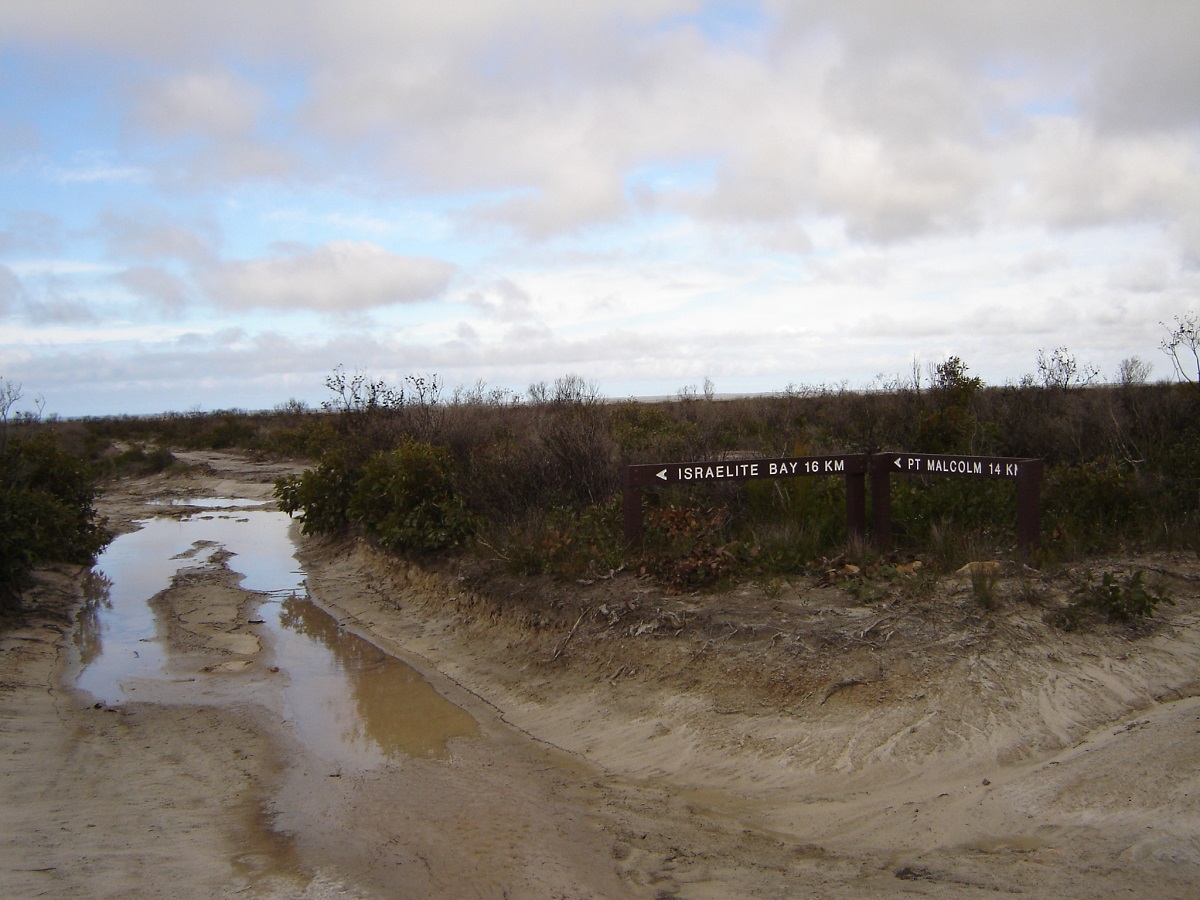
Don’t go there
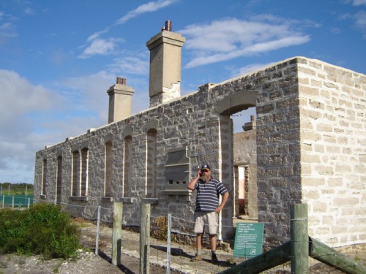
Making a call at Old Telegraph Station
Somehow we became separated and while we were looking for a campsite George called up to say that they were going to the jetty. I told them to look out for the mud hole. A short while later the radio crackled. “Errrr, can you come down to the jetty please”. There the GU was, sitting on its belly, in the mud hole. No words were spoken as I winched George out of the bog. At Israelite Bay the seaweed gets pushed up against the dune face and it is more than a metre deep in places. It can even hold water, as we saw puddles, which had formed from the previous nights rain.
I had spoken with the Director of CALM(Conservation and Land Management) at Esperance about the old Telegraph Track. He stated that his staff had not been that way for a while but someone had reported burnt out country and overgrown tracks. He also gave us an information sheet stating that it was not advisable to run the beach unless the tides are .6metre. In winter they are normally 1.5metres and push up right to the dunes. With this in mind wet set off in a north-easterly direction, along an overgrown track. When we had set off, the vehicles had been covered in mud from the previous days driving. After 20km along this track they were scratched clean along the side panels as well as underneath. We saw old telegraph poles and wire lying by the side of the track. It was 47.8km of overgrown track with plenty of scratching to an opening on a samphire flat and a T-junction.
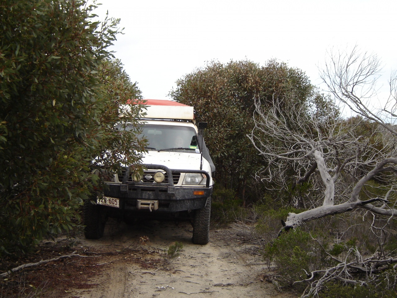
Squeezing through the foliage
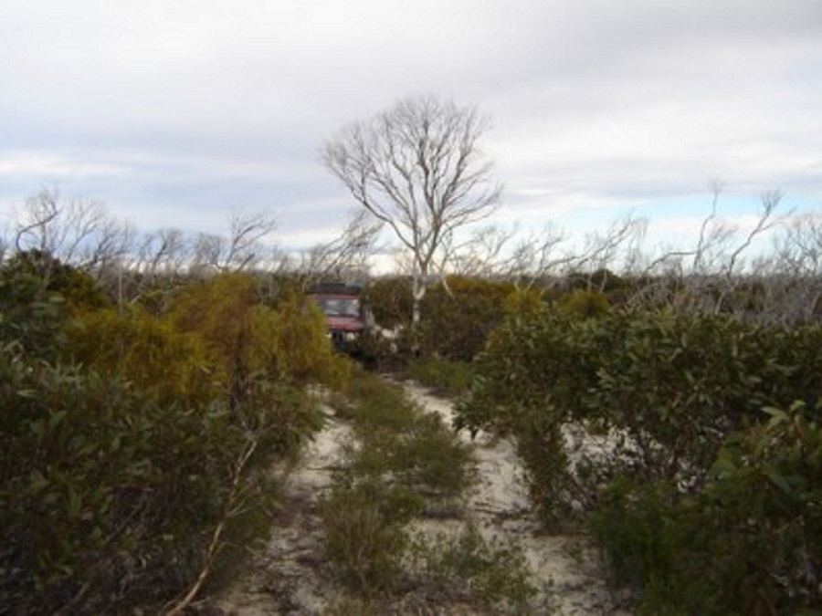
Old Telegraph Track
To the right it was 2km or so to the beach, which we still considered too dangerous, to drive on, because of the seaweed (although there were fresh vehicle tracks leading on to it) and about 2km back to Wattle Camp which is a small clearing near an old disused well. After lunch we pushed on skirting the samphire flats and salt lakes until the track stopped abruptly after 17km in some coastal vegetation. We got out and searched but could not find where it continued on although the Raster Map showed it continuing. So we made for the beach.
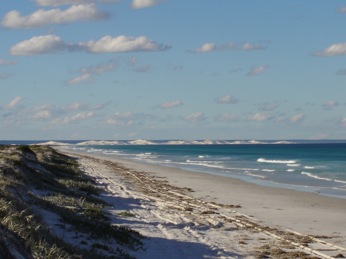
Beach Run with Bilbunya Dunes in the distance
Now there was minimal seaweed between the sea and the sand dunes. It was 5 hours after High Tide as we dropped the tyre pressures to 15psi. There were some nervous moments along the beach as where the sea had reached the dunes and pooled, the sand was very soft. We kept the revs up and ran the 32km stretch in one hour and ten minutes stopping only to take some photos of the magnificent Bilbunya Sand dunes. These dunes are about 100 metres in height and rise up above the coastal plain inside a perceived 5 square kilometres or so.
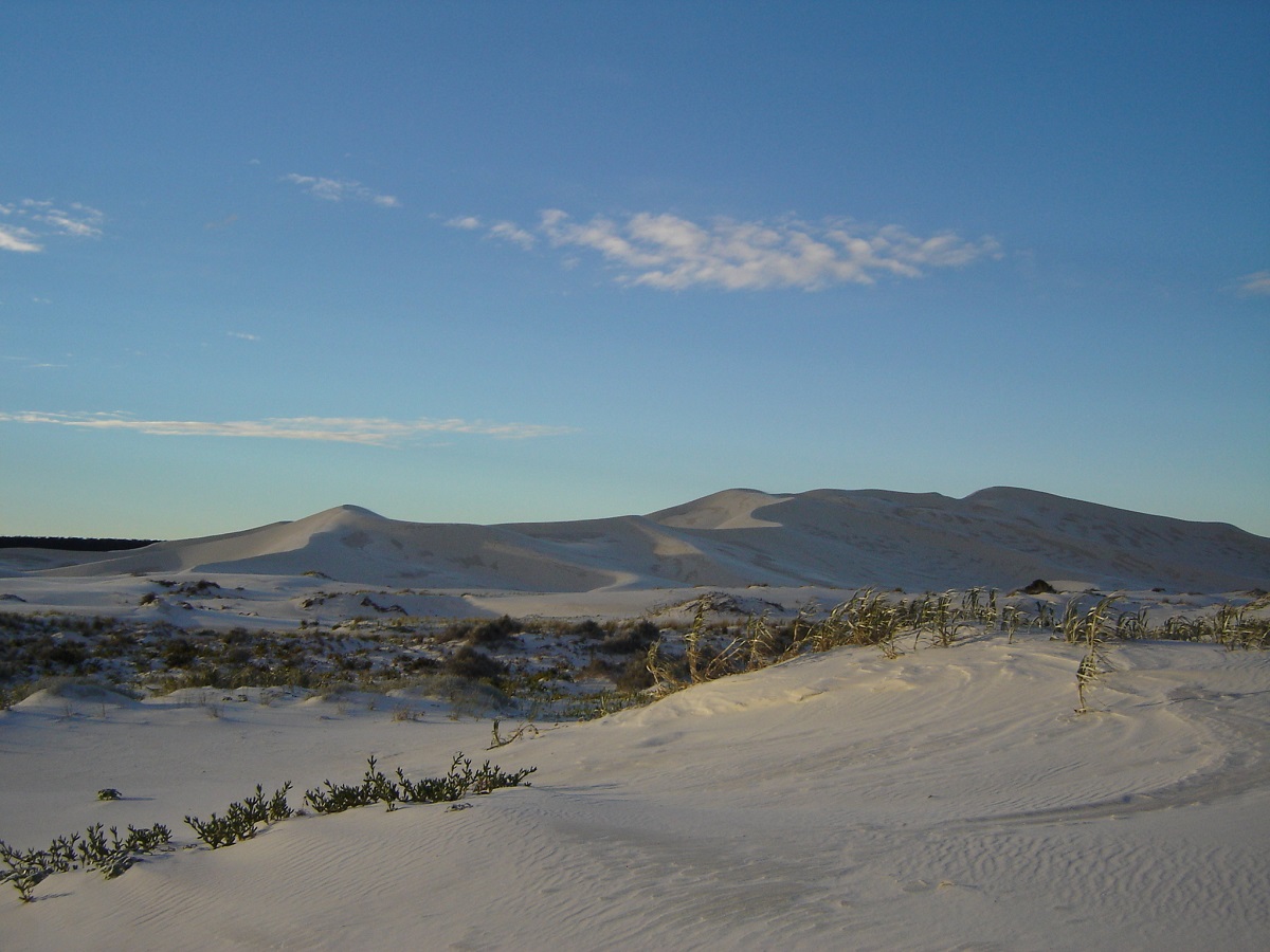
Bilbunya Dunes
I managed to find the exact spot to get off the beach and on to the track, which led up to a fishing camp, known as Culver Camp, halfway up the Wylie Escarpment know locally as The Scarp. The beach actually continues on from our exit point for about 7km where it meets the Baxter Cliffs at Point Culver.
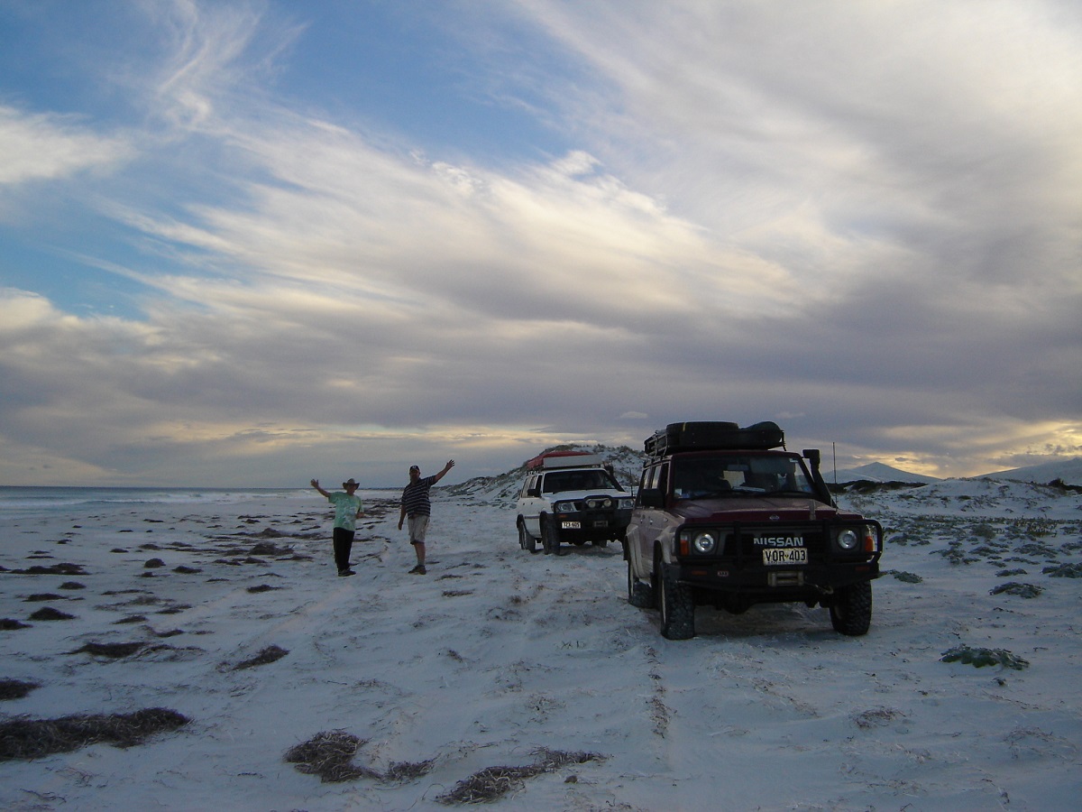
On the beach

Charging over the dune
The next short distance up the rest of the Wylie Scarp was quite an easy run as at the most critical and steepest section CALM had laid down conveyor belting to facilitate better traction up the jump up. Once on top we reinflated tyres to 25 psi and set off to Point Culver.
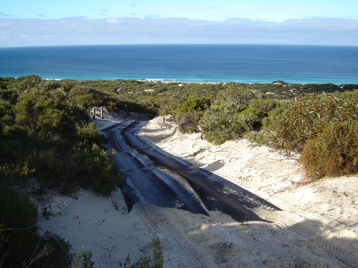
Wylie Scarp belting
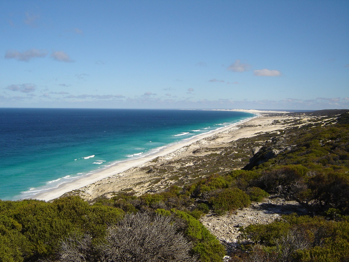
Israelite Bay
This track was 13 km return and took two hours to drive, which included a quick photo session. It was all limestone rock outcrops. Back on the Telegraph Track we were travelling at 10km hour and it was a bloody hard drive too over numerous limestone outcrops. We visited Baxter Cliffs Lookout and camped a few hundred metres distance from Toolinna Cove. We had progressed 57km for 8 hours driving and that did not include the 13 km return in to Point Culver. We found enough wood to cook a roast on the coals and have a few ales and wines before turning in.
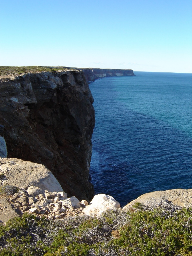
Baxter Cliffs
The Baxter Cliffs are magnificent, dropping straight in to the Great Australian Bight. However they are a tad crumbly at the edge and care must be taken not walk too close to the edge. Then there is the added danger of being blown off the cliffs and into the sea far below by a sudden gust of wind. So we were very careful.
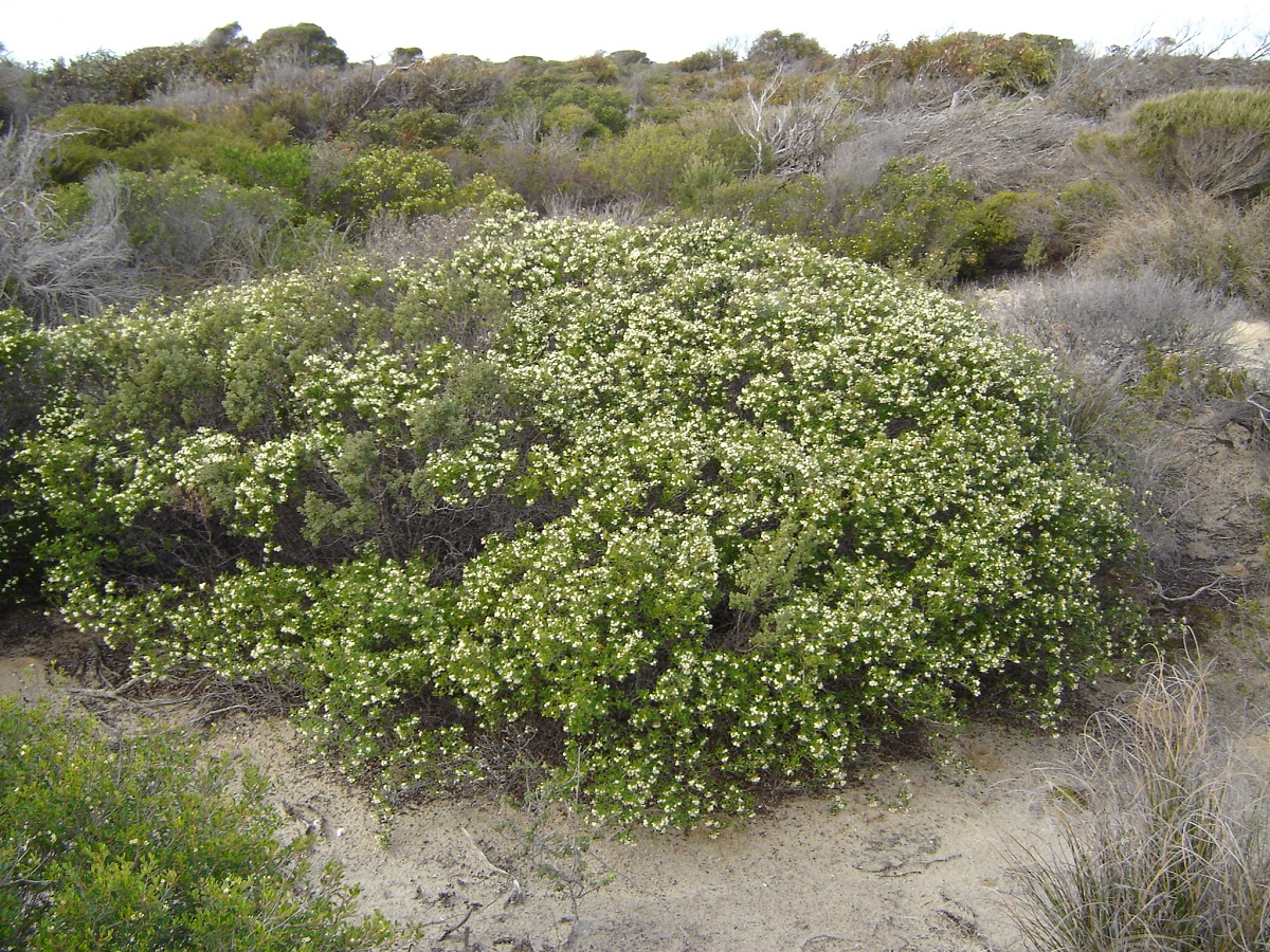
Christmas bush
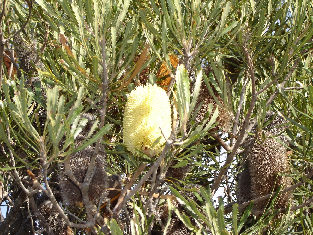
Banksia
At Toolinna Cove we marvelled at the daring fisher people who abseiled down to the beach to fish, They have also rigged up a windlass so as to get their gear and/or catch down or up by means of a vehicle winch. There used to be ladders down the cliff face but CALM have removed them, as they want to discourage this practice.
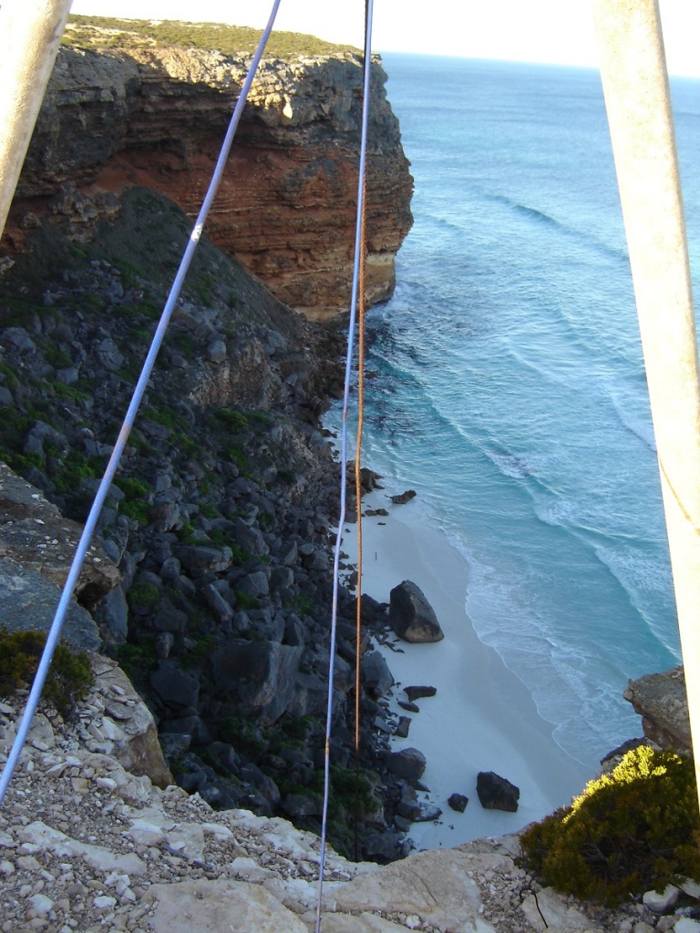
Toolinna Cove Beach
The track improved a bit the next day. We saw camel and dingo tracks and some very large Red Kangaroos. Mallee scrub-land covers this limestone area and it is quite scenic in places. Judith found a sinkhole and some caves and we then went looking for more. I walked about 30 metres from the vehicle to get a better look and sank up to my thigh in a sinkhole. We moved our vehicles in a hurry to a safer spot!
We passed by the turn off to Caiguna and drove on to the Baxter Memorial and there cliffs were just as spectacular. John Baxter was a companion of Explorer John Eyre and was killed by aborigines in this area according to legend. There is however another story that Eyre killed Baxter because he had lost his mind and was putting their safety at risk. As it is, if it wasn’t for his Aboriginal companion, Wylie, Eyre might not have survived the trek We returned to the road junction and camped in a large natural clearing.
The next day we had breakfast at the Caiguna Roadhouse, refuelled and paid 50c/l for water. They do Desalinisation to get drinking water and there had not been much rain during summer. We weren’t sure of water supplies at Cocklebiddy or Rawlinna and as it turned out there were none to be had. This day George had two punctures with his MTR’s. He was running skinny’s with tubes and it was tiny rocks, which work their way in past the rim, and prick the tubes. At Cocklebiddy we visited the only service station and the owner was away for the day. So we were told to help ourselves by the book keeper who knew nothing about tyre changing. So we split the rims and repaired the punctures. Just as we were finishing another customer came in with a tyre to repair. The lady was in a bit of distress when she learned that there was no one to do repairs to tyres and so George and I relented and repaired her tyre as well. She wanted to pay us but we declined the offer politely. Then we set off along the track to Rawlinna via Arubiddy Station.
At first the road to Rawlinna is a broad graded road but after Arubiddy Station it deteriorates to a track. It is here that one crosses the Nullarbor Plain which is so flat you could see in to the middle of next week. The name was made uo by John Eyre. Null=Nothing, Arbor=Tree

Nullarbor
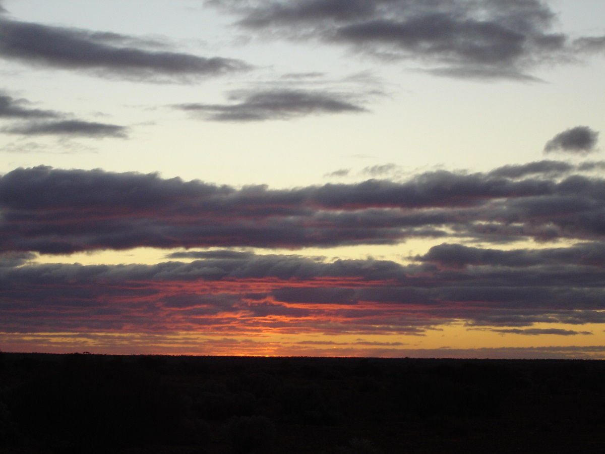
Nullarbor sunset
We found an old Citroen wreck on the plain. The track weaved its way through numerous gates and a vermin proof fence. As it was getting dark, I decided to camp. But George and Maureen had other ideas and talked me in to driving to Rawlinna. This I agreed to, against my better judgement. At night tracks take on a different spectre and it is difficult to follow them even with the help of a GPS.
Eventually we could see the lights of Rawlinna but the tracks were now turning west and east and we were supposed to be heading north. We were virtually driving in circles. Somehow we found the right track and got to Rawlinna. The old railway siding has a historic value. The rest of the township is operated by a humungous Lime Mine operation. We saw a light on in a bungalow and enquired to where we could camp. We were directed to the Nullarbor Muster Gymkhana Grounds. “Turn left here over the railway line, then go, maybe 1km, then turn right at the white pole(no sign)” We found it in the pitch dark and set up camp behind a large shed to be out of the bitterly cold wind. Only the next day did we find out that the shed was an old aircraft hangar and we could have fitted both vehicles and tents in there. Oh well!
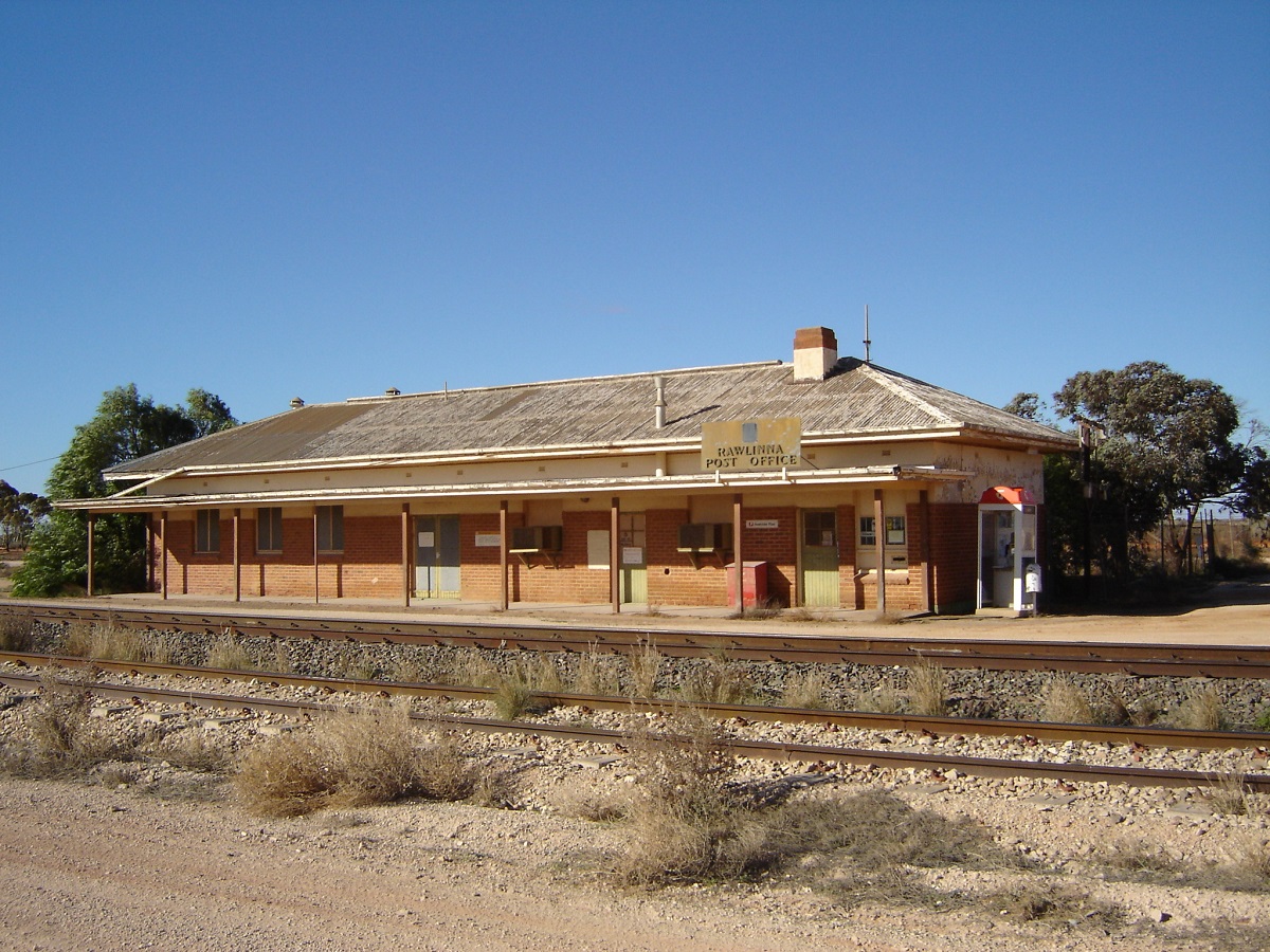
Railway Station Rawlinna
I had to get directions out of Rawlinna. “Go down that track mate, and turn left at them tyres and go through the gate. That’s the start of the Connie Sue, mate. ” Hmmmm. Tracks going everywhere. Just follow your instinct. This is where the GPS and laptop worked well, even if I had to do it manually.
The first 100km of the Connie Sue passes over station property. There are tracks running in all directions but one can still see where Len Beadell directed his bulldozer driver to sink the blade. More that 40 years later the windrow is still faintly discernible in places. Len of course, was a practical joker, and he named all the tracks he bulldozed after his children and wife Anne. Then he added the word Highway to the name. The majority of the roads and tracks, for which he was responsible in constructing are now only bush tracks.
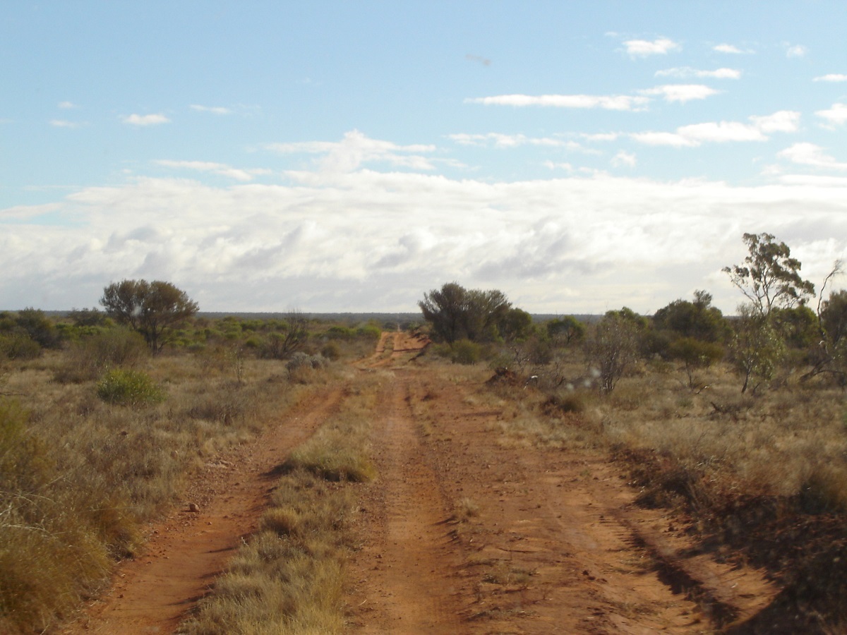
Connie Sue Hwy
The right rear backing plate that covers the brake rotor was now loose on my truck and rattling like mad. So with six ocky straps I made a temporary restraint, which held all the way to Alice Springs. There I cut the offending thing off with some tin snips. Also removed the gearbox bash plate as an eagle’s nest of dry Spinifex grass had accumulated under the truck. So the plate also went on to the roof rack.
The first part of this track was very bumpy crossing over many limestone ridges and we were restricted to 40kmh. At 102km a big graded road came in from the west and we found out that this was the Kalgoorlie access road for the Tjuntjuntjurra Community. No less than 8 abandoned Ford Falcons were on this road in various states of disrepair. About 70km further was the turnoff to the community and a self-storing Butterfly water tank.
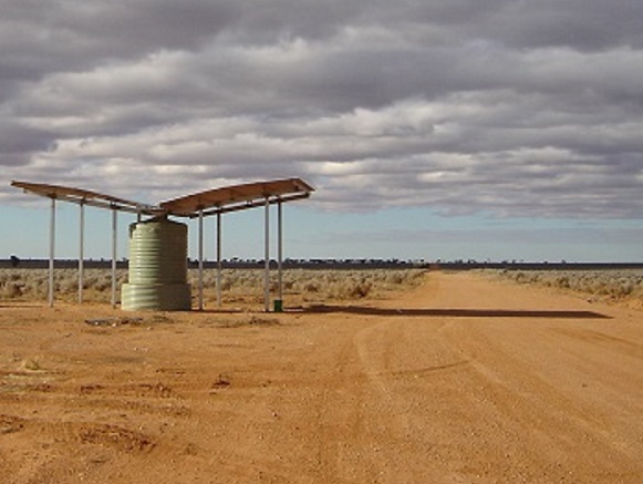
Butterfly Tank at Tjuntjuntjarra turnoff
Another half an hour’s drive to the north we found a campsite amongst the gidgee trees and had a good rest. The following morning I dropped a full jerry of diesel on my leg. Ouch that hurt! A great big lump swelled up below my knee (the bad one) and kept me hobbling for weeks. From this point the track starts to become corrugated and in fact the corrugations did not let up until we were close to Warburton, We were however able to do 70kmh now. We saw Plains Turkeys, Dingoes, Camels, Kangaroos and some Mulga Parrots. A drum on the side of the track indicated a track to somewhere and our maps indicated the Neale Breakaways.


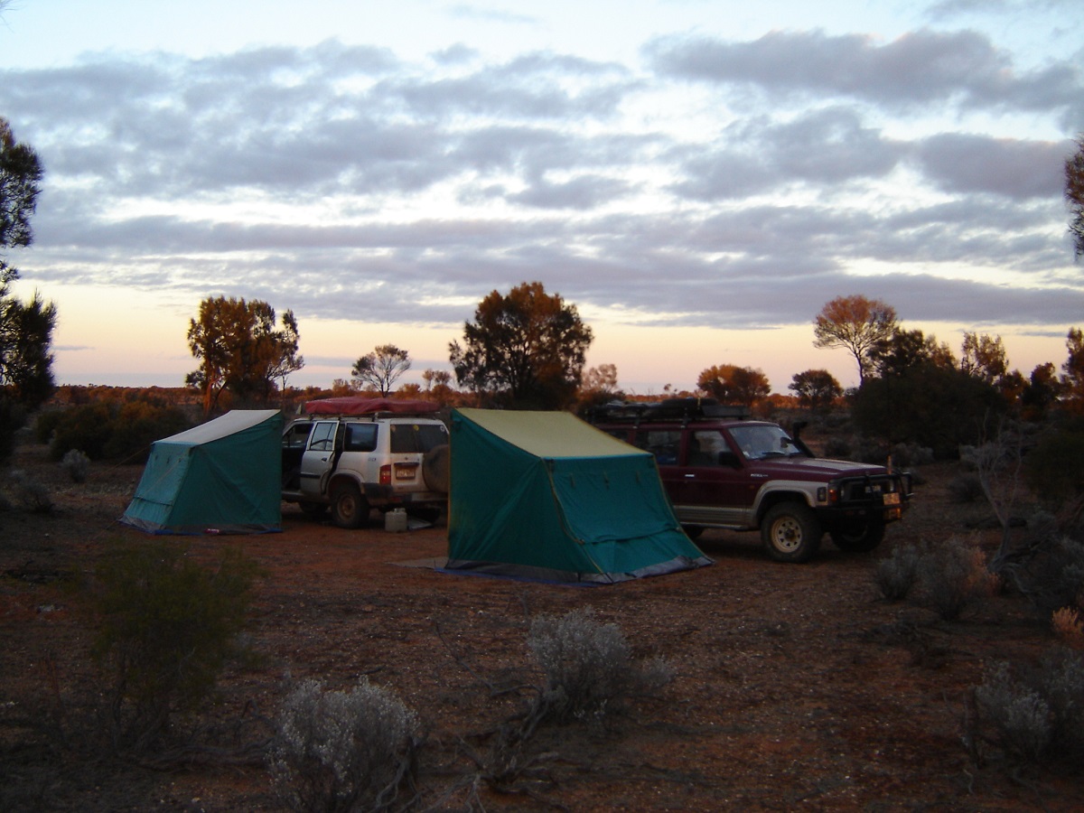
Connie Sue camp
The Neale Breakaways were very spectacular when we got there. Trouble is I drove too close to the small escarpment where water was seeping out of the soil and the GQ started sinking fast. I was in 2wd and had to flatten the pedal to get out of the slush. We had lunch in a secluded area and looked at the many different colours and forms the ochre sandstone can take on. Another track led to an old fuel dump with about 50 rusting drums left there. We wondered if Len Beadell and his crew left this behind.
At Neale Junction we had lunch at the picnic tables, signed the visitors book and saw the plaque where someone’s ashes had been scattered. Along the track we found some Thunder Eggs, which had become exposed to the elements over the years. Close to BM 409 we took a track to the left searching for some aboriginal art, which we had heard of. The details were very sketchy and needless to say we didn’t find any country, which would have supported paintings or petroglyphs. We did however see some good breakaway country. Back on the Connie Sue we progressed a short distance and turned left again along another track which looked as if it had been graded recently but that too petered out in to some heavy scrub after 2km and then the track was heavily washed out. The sun was setting and it was time to camp. George walked over to a pinnacle close by to get a better view of the terrain but reported back that he couldn’t see any other tracks.
On the way back to the Connie Sue the following morning, and driving in to the sun, I hit a washed out section of the track and bent the left hand front steel rim but not hard enough to make it un-driveable. Looked at Ryan’s Bluff and the airstrip to the east, then Hann’s tabletop and then Waterfall Gorge.

Hann’s Tabletop Hill
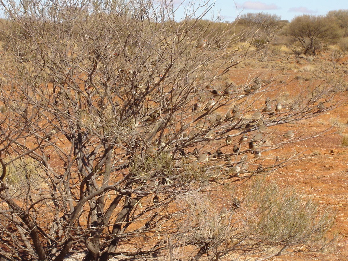
Finch Bush

Waterfall Gorge
There we met a couple from Adelaide (the first travellers we had seen on the tracks since Israelite Bay, (seven days prior) in a new Nissan Navara who had been having all sorts of troubles with aftermarket equipment. They were following ExplorOz Trek notes and told us of a nice gorge about 75km to the east. We decided, maybe next year. While I was talking to them, my crew went on to photograph the hundreds of Zebra Finches, which had come to the water pools for a drink. The finches would fly down, take a quick drink and then take off again in a flurry of wings. Suddenly a hawk swooped down and took one in mid-air home for lunch. Definitely something you don’t see every day. From this point we visited Harness Gorge, McKenzie Gorge and then dropped off the plateau into the sand country again before stopping off at Warburton for supplies. We also visited the Warburton Cultural Centre, which is very modern and has a wider range of New Age aboriginal art including glass-making and basket weaving. I closed my eye when the girls brought out the plastic cards. While purchases were being made I refuelled from my Jerries and then we set off to find a campsite. Along the way I saw a grey camel, another thing I have never seen before. A dingo posed on the road for photos before loping off in to the mulga. Judith saw a possible campsite off the road and we settled down for the night. Only one vehicle passed and we turned all our lights off when we heard the vehicle approaching.
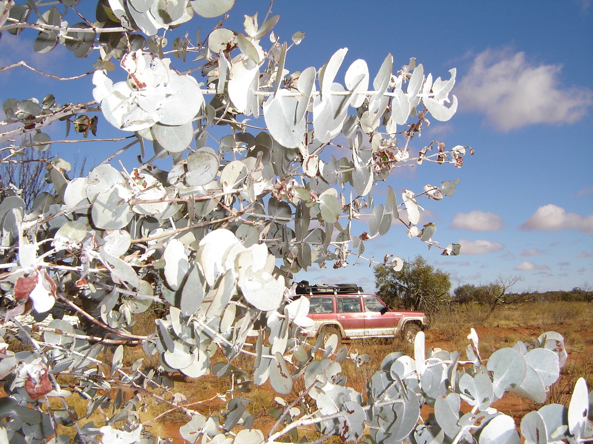
Spinning gum
This next day we had our first ice on the windscreen and an omen of things to come. Packed up with frozen fingers inside the gloves! We pushed on along the Great Central Road and stopped for breakfast at a nice bush shelter about 45km from our campsite. It is located off the road and has a water tank, windbreak with seats and long drop toilet. We visited Giles Meteorological Station further up along the road and refuelled at $1.55 at Warakurna Roadhouse (where diesel is cheaper than Unleaded (Avgas)) and had a bite to eat.
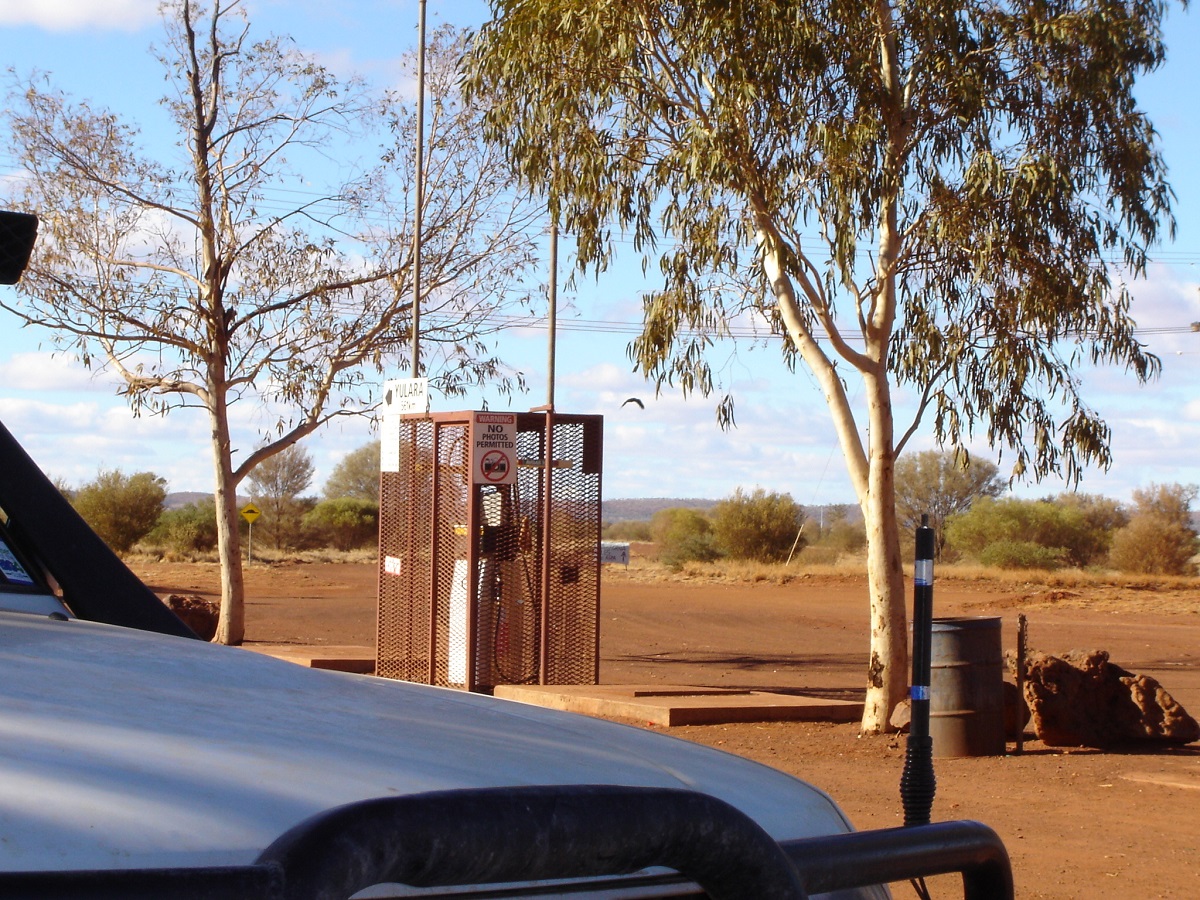
No photos permitted
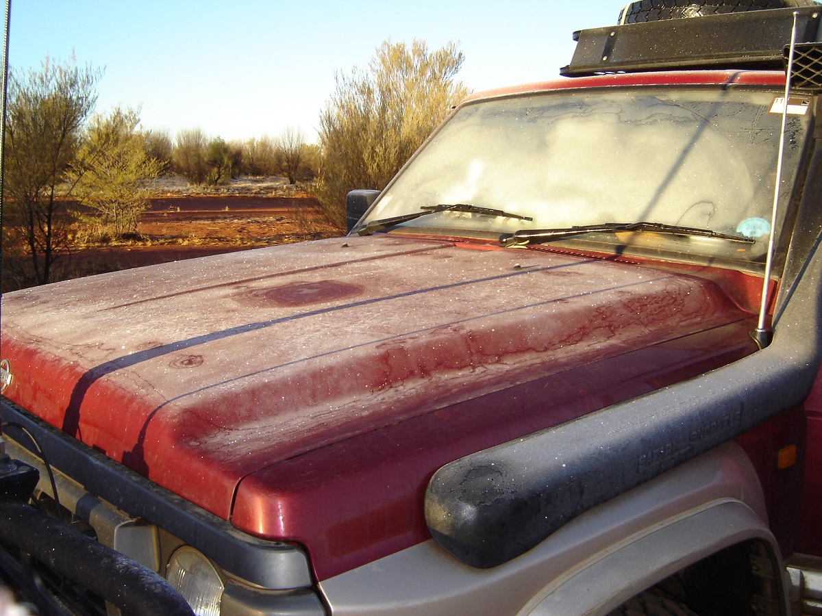
Ice
Travelling north from there through the Rawlinson Ranges, Schwerin Mural and Petermann Ranges is always spectacular. The road past Docker River wasn’t too bad although still heavily corrugated in places. We stopped off at Lasseter’s Cave now called Tjunti. It is an abandoned Outstation with some modern housing. Camping is not allowed there any longer but a camping area is provided 5km west of Docker River Community. There is a lot of rubbish lying around at Lasseter’s, as the rubbish bins provided are not emptied regularly. In the late afternoon I found a campsite about 1km off the road and 20km from the Olgas. The ice was a lot thicker the following morning and we had to wait for the windscreens to clear and the tents to dry out a bit before moving on.
-
- Kata Tjuta
-
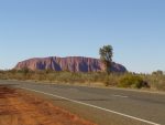
- Uluru
-
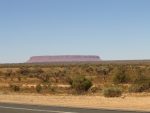
- Artilla
At the Olgas Lookout everyone went for a walk while I reinflated both vehicles tyres to 35psi(George’s el cheapo air pump had karked it by then). We had a very expensive breakfast at Yulara Township and travelled on to Mt Ebenezer where we stopped for lunch and topped up with some diesel to get us to Alice. Just before the Finke River on the Stuart Hwy we saw an old Toyota 45 series Ute on the side of the road. I stopped and ascertained that the couple from Geelong were in trouble with a snapped draglink. We tried welding it but could not get a good contact. After about an hour we decided to tie it together with a tent peg and some metal clamps. I then gave them one of my tie down straps told hold the draglink in place and we yanked it really tight. It got them to Alice!
The three months on the road had been a great and adventurous journey for us.
Back in Alice our dog Jeddah welcomed us again and kept on nipping our legs to see of we were real
George and Maureen said their goodbyes and pushed on home to Darwin while we had a rest up for a fortnight before tackling tracks heading east from there.
Self
Back home once again and I received a notice from South Africa that the Court Case was happening and I was the Chief Witness and that they were arranging for a return ticket with South African Airways.
I was picked up in Johannesburg and taken to Kimberley at frightening speeds on the road. The policeman was driving at 200 kmh at night!
I reckon the hairs that had been left on my head all came adrift that night. But we arrived safely and I attended court over two days. Then the Fraud Squad Chief lent me his car to drive to Victoria West to see my friends for a couple of days. I returned to Kimberley and then had another frightening experience, this time in daylight hours driving at 200 plus kmh. I flew home. I learned later that I had lost the case. I suspected there was some bribery involved.
Then I had my right knee replaced at the Port Augusta Hospital and then life slowed down again while I recovered.
Gregory National Park 1995
The bash plate that protects the underbelly of our Landcruiser scraped loudly over the jagged dolomite splinters, as we crunched slowly over the exposed limestone ridges. I inched the vehicle forward in first gear low range until it had cleared the obstacle. Then I had a quick look underneath. No worries, just a few marks, I thought. I smelt petrol! Sure enough, there it was. A hairline fracture had been made in the upslope steel plate of my long range fuel tank and a small seep of petrol. The old soap trick made a temporary repair and she was good as gold again. Soon we were bouncing along the bumpy track once more. We were driving into the late afternoon sun making for the Spring Creek camping area in the northern section of Gregory National Park in the Northern Territory. This park lies 190km east of the Western Australia/Northern Territory border. The turnoff to the park lies a short drive past the Timber Creek Township on the Victoria Highway to Katherine. Progress had been slow this day as the track winds its way over limestone ridges and around large boab trees silhouetted against the setting sun.
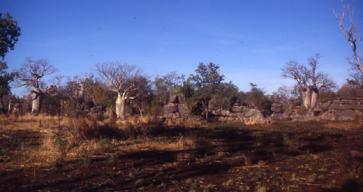
Limestone Tower Karsts
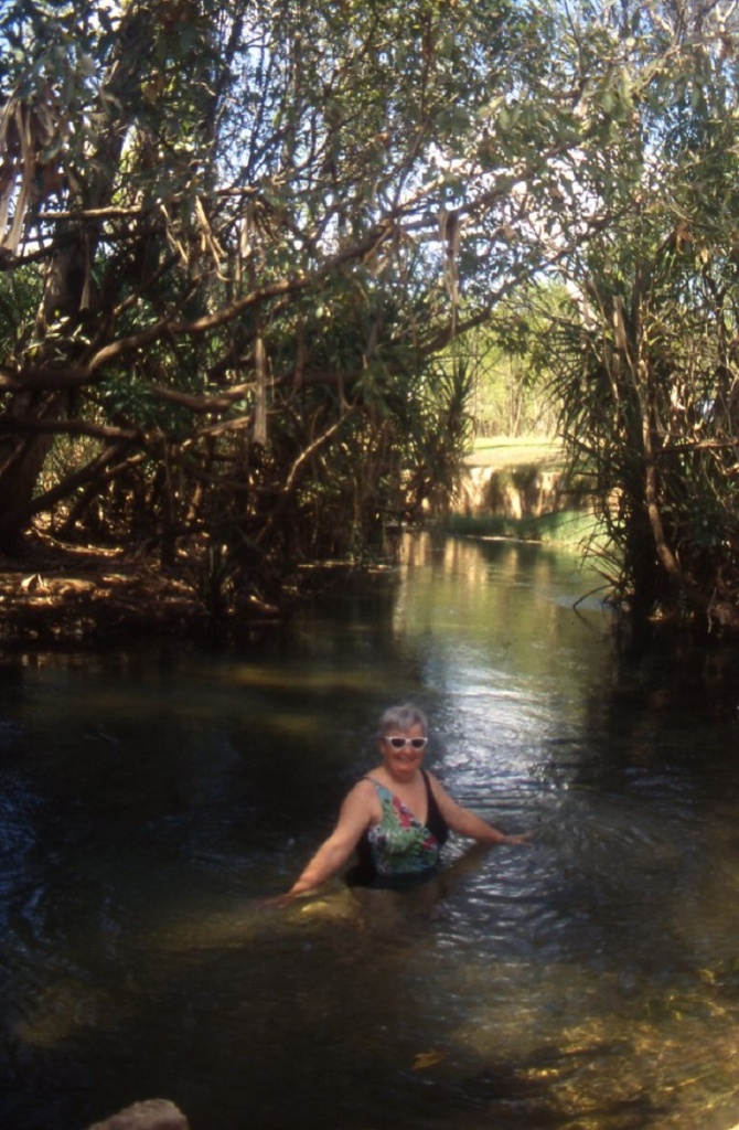
Cooling off
Tired and dusty we crept into Spring Creek camp to find that we had it all to ourselves. The creek was flowing and a refreshing swim was the order for the day. Back at the camp the flies welcomed us in their millions. This particular camp site is situated on a slope and I wondered why the land managers could not be bothered to provide a level camping area. We were able to get a good rest however as the resident mob of mosquitoes did not appear. Early to bed and early to rise, that’s the way to beat the flies!
Gregory National Park has been developed to cater for recreational four wheel driving. This is in direct contrast with so many parks and trails which have been closed of to 4wd travellers throughout Australia. The park, which is managed by the Conservation Commission of the Northern Territory, 10500 square kilometres in size and is made up of acquired section of the pastoral leases of Innesvale, Auverne, Delamere, Humbert River, Bullita, and Victoria River Downs(VRD) Stations. To a larger extent the country acquired from these leases was of marginal pastoral use. The park was declared in 1990 and after a successful land claim by traditional aboriginal owners; it was split into two sections. The section south of Timber Creek on the Victoria Highway is the larger of the two sections and designated 95% 4wd access. The northern section is reserved for aboriginal cultural use. Some area will be opened for tourist access in the future. Development is ongoing and there are three major access tracks throughout the park at the present time.
Augustus Charles Gregory footslogged through this harsh country in the year 1855 in search of pastures and mineral wealth. Gregory’s expedition was the first European expedition to this part of North Australia following almost in some of the footsteps of Ludwig Leichhardt, who traversed the eastern region of the Tropical North in 1845. Then on his next expedition, in 1846, Leichhardt disappeared without trace. Some historians are of the opinion that he was killed by aborigines somewhere in the North-west of Australia not far from where Gregory had explored nine years later. Gregory explored the catchment area of the Victoria River and concentrated his efforts around the Wickham and Baines River areas. Thomas Baines, one of Gregory’s party, was an artist and explorer and was credited for ‘discovering’ the West Baines and East Baines Rivers. Gregory had the honour of having the Boab tree named after him, thus……adansonia gregorii.
The Australian Boab tree is closely related to the African Baobab tree.
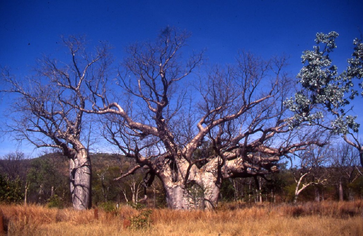
Boabs
There are two trains of thought as to how the seeds made their way from Africa to Australia. One is that seeds were washed into the sea along the coast of Africa and drifting along sea currents to the northern Australian coast. There they were devoured by birds who deposited them inland. The other thought is that Africans migrated via Asia across the land bridge to Australia some 60,000 years ago and became the first Australian Aborigines. They might have brought seeds with them. Later, the modern-day Australian Aborigine migrated from Central Asian and intermarried with the African Aborigines. The Australian Aboriginal legend of the Boab tree is very similar to that of the African legend. It goes something like this and no doubt, there are many variations to the theme. “When the tree God created the Boab Tree it was to be the most beautiful of all trees in the universe, with the most beautiful flowers and bearing the juiciest fruit. But as the tree grew to maturity its flowers were mediocre and its fruit had a bad odour and tasted vile. The Tree God became so angry that he yanked the Boab out of the ground and slammed it back in the earth upside down and that is why today, when you see a Boab tree, it looks as if its roots are growing up in the air. So there.
Many of the plants of the Top End of Australia were named by Ferdinand von Mueller who was a botanist and member of the Gregory Expedition.
The first track of significance is that of the now abandoned Bullita Stock Route which starts at the Bullita Homestead camp ground. From Timber Creek on the Victoria Highway it is about 60km to get to the camp ground. On your way there you may drive in to Limestone Gorge to camp, and enjoy a swim or to go for an interpretive walk through the gorge or both.
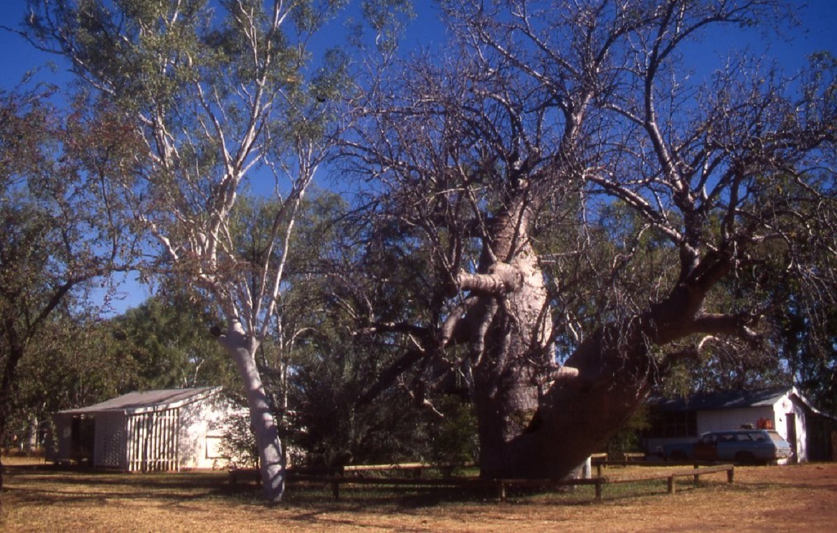
Bullita
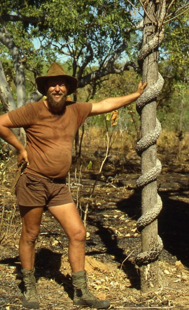
Strangler vine
At the start of the Bullita Stock Route you must fill in the intentions book so that the rangers may know if you become overdue at the termination of the track. Your first challenge is to cross the East Baines River. Now, there are markers across the river. On the left side is an easy flat run and on the right side some heavy duty rock ledges. I chose the easy run and almost to my peril. The rock ledge is about ten metres wide, less than 30cm of water with mosses growing on its surface, and very slippery indeed. Traction was minimal and I let the vehicle idle through and the thought of slipping odd over the edge into a dark green watery chasm caused a rush of anxiety. I was very relieved when we reached the opposite side and clambered out over the embankment. It is best to take the difficult route. There are no warning signs to inform you. Now the track meanders along through open timber country where the twp predominant trees are the Boab and the Nutwood. After 9km from the river you come to the Spring Creek Jump-up. Well, more of a jump down. And it is rough. Great chunks of limestone karst lie scattered along the track and this is where we split the fuel tank. Another 4.3km and you are at Spring Creek camp site where a dip in the perennial pool is worth its weight in gold.
Gregory’s report on the possibilities for a cattle industry in this area saw that only 37 years after his visit, such an industry was thriving, working of course, to the detriment of the local traditional owners. During the period from 1893 to the advent of the road train in the late 1950’s, drovers led their stock to Wyndham in Western Australia for shipping to the markets. Mobs of up to 500 cattle at a time were moved along the Bullita Stock Route. The drovers rested up along this track under the Boabs and close to water holes. They left their marks on the Boab trees and carved fictitious names into the bark. Modern-day travellers are requested not to do the same, most likely for the reason of political correctness.
It is 18.2km from Spring Creek camp to the second crossing of the East Baines River. Here, in the early morning sunlight, I managed to gouge the side out of the bottom sill panel because someone had chopped a tree down and had left the stump on an acute bend when entering the river. I have since asked the rangers to remove the stump. At this crossing there is a nice water hole to relax at. Bird life is as always, prolific and you may cast a line for the chance of a fish for dinner. A further 7.7km brings you to an intersection. Turn left and follow the track for 11km to a camp called Drovers Rest. The camp site is at the convergence of Barracbarrac Creek and the East Baines River. Close by there is a 3km long water hole which is good for canoeing and fishing for the elusive Barramundi. Silver Cobbler, also known as Catfish, are plentiful. Return to the intersection and from there the track follows on for 31.4km to the Bullita access road, the last 20km being an easy drive. Do not forget to sign the Exit Book. It is 18km back to Bullita Outstation.
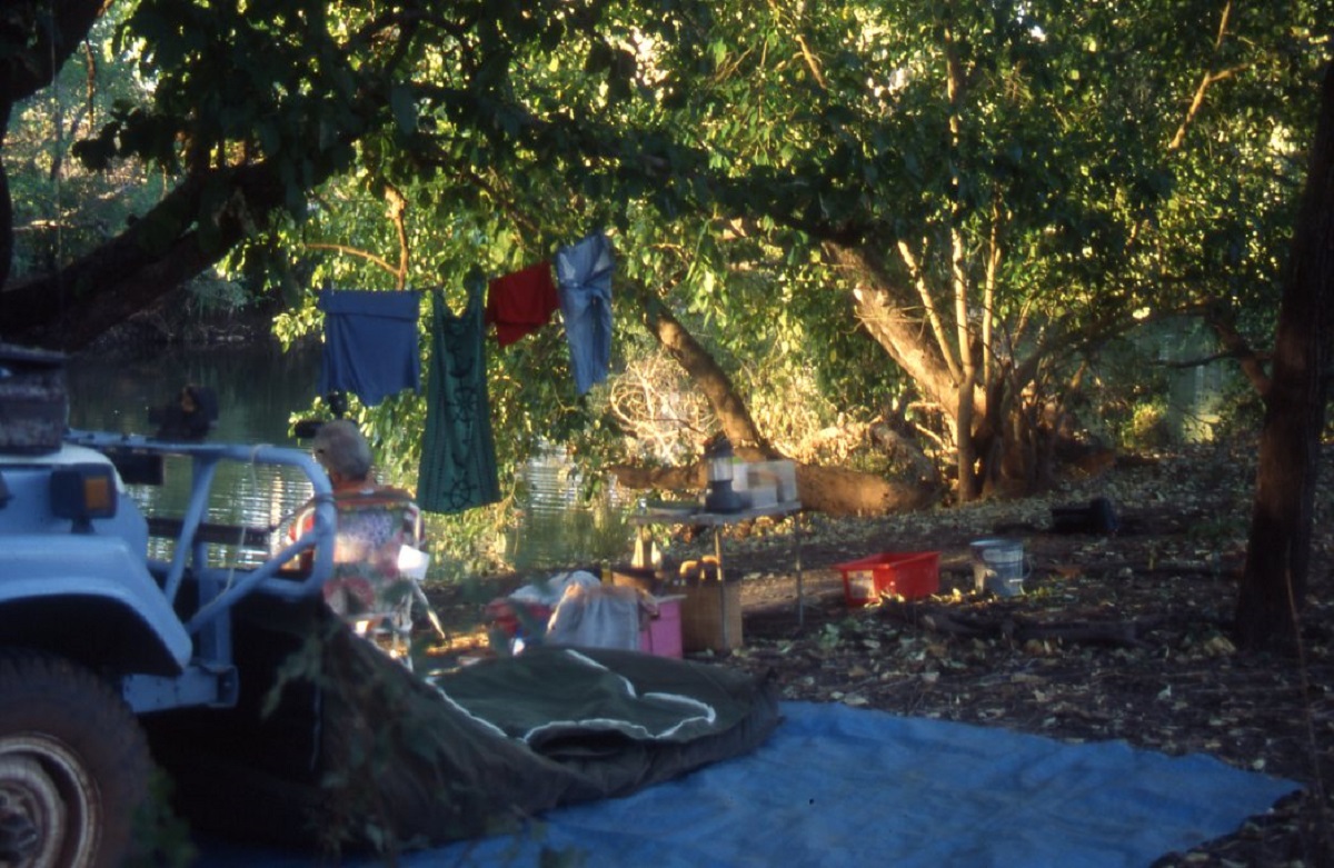
Bush camp on the Humbert River

Crossing the Humbert River
The next track is the Humbert and that takes you on a 62km journey through some interesting country to the exit of the park at Humbert River Station. This trip should take about 6 hours.
The track is easy except at the Humbert River crossing where the driver should acquaint with the angled rock bar before attempting to drive across.
The Dingo Yard/Wickham River Track branches off about 1km from the Humbert River crossing. It is 48km to Dingo Yard and a further 11km to the Wickham River. At present you have to return to the Humbert Track to exit the park but in the future you will be able to exit via Mt Sanford Station, Daguragu and Kalkarinje (Wave Hill). The 59km to the Wickham River should take around 6 hours to drive.
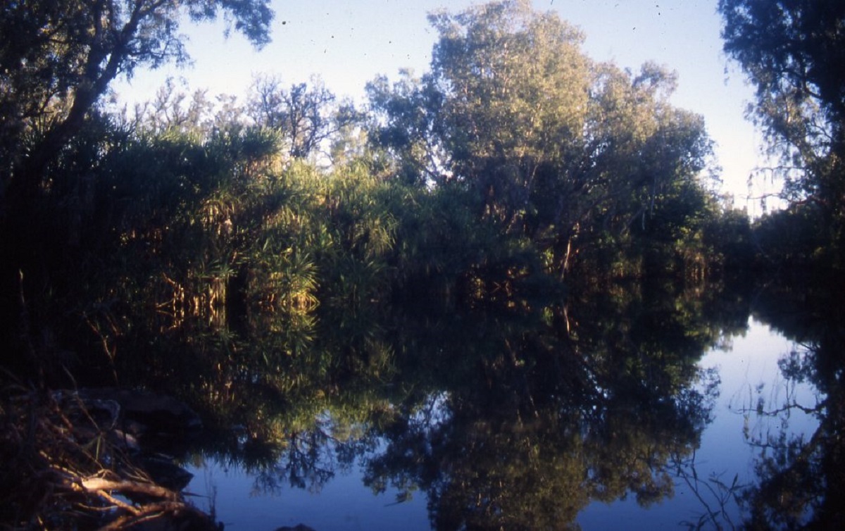
Wickham River
The track follows along the ridges until you get to the top of the ranges and then it drops down into the valleys to the Wickham River. The track starts off as moderately rough and then progresses to very rough in places. It is overgrown and has rocky sections and sharp loose stones. Progress is slow as you meander in and out of gullies and ridges. The vegetation changes from Paspalum grasses to Spinifex with low heath at the top of the range. Wattle and Eucalypts form the main part of the open timber country. There are lots of feral Donkeys, Dingoes, wild Pigs and Brumbies. Along this track is an unnamed spring. Take time out to explore this spring and to see all the life forms that live so high above the normal water courses.
Orchid

Orchid
Gregory National Park offers the off-road enthusiast a chance to travel through some very remote country and to enjoy the challenges of driving over some pretty rough terrain.
Overnight campsites are located near water and after the evening chorus of the Blue-wing Kookaburra, a quiet, sets about the bush which is only broken by the croaking of frogs or the call of the Boobook Owl.