In Search of Antiquity 2006 ..A Hard Trek into the Desert ..Anne Beadell Highway .. Art of the Calvert Ranges ..The Kidson Track ..A Midsummer Bog ..Desert Apparitions ..Outback Tracks ..Labbi Labbi ..WA Deserts and beyond ..Beachcombing the Yorke ..Coopers Creek Ferry ..Flinders Ranges wandering ..The Oodnadatta Track ..A Binns Track Encounter ..The Diamantina River Run ..The Dinosaur Way ..The Cattle Corridor Byway ..Bound for Chillagoe ..Dividing Range Adventures ..Darling Downs journey ..Wildflowers
2006 to 2010
By 2006 I was walking without the aid of a walking stick and I was feeling good. Judith declined to come on camping trips and so I took mates along with me in the Datto and others came along in their vehicles. I invited Internet friends along on all the trips to see how they went. Judith stayed at home and played in her Studio painting various art scenes. She also started making with greeting cards again.
In Search of Antiquity 2006
Having read books and diaries by the explorers, Ernest Giles and Michael Terry and archaeological accounts by Dr. Josephine Flood, my interest has always been to try to get to some of the places mentioned in these transcripts. I have been interested in particular, in the ‘faces’ rock carvings of the area, as depicted in a variety of publications.
An old friend of mine, who has spent many years leading camel safaris in Central Australia, mooted the idea of getting to see these places, and with this in mind, I set about planning such a trip. As with many events the planning takes some time. I needed at least two vehicles on this expedition and with contacts and acquaintances in real life and via the Internet, managed, in the end, to gather together seven participants in four vehicles. Some of us were to meet personally for the first time and it would be a test of personalities to see how we got on together in the bush.
Puritjarra is the name of a site of human occupation now being mooted to date back 30,000 years. It is situated along the eastern escarpment of Mt Winter, which again, is at the end of the Cleland Hills. Puritjarra was not a permanent encampment, but rather a resting place for the many nomadic tribes who foraged for food throughout the desert regions. Within the area, and encompassing the Puritjarra shelters lies a permanent rock pool, now known as Muranji Waterhole. The explorer, Ernest Giles passed by this area in 1872, Michael Terry exploring on behalf of mining companies visited Thomas Reservoir to the north on his expedition of 1932 and Archaeologist Michael Smith, on behalf of museums, has conducted excavations in this area for a period spanning from 1980. Others have joined Michael Smith for various reasons and have written about the significance of this place. In earlier times the Pintubi clan visited this area but it is claimed to be the ancestral home of the Ikuntji clan who now reside permanently at the Haasts Bluff Community.
I applied, on behalf of myself, and the others, for a permit to access these traditional aboriginal lands. After a lengthy period, the permit was granted with strict conditions.
Our group gathered in Alice Springs during the last week of April 2006, and we set off for our destination. The first part of our journey took us through the McDonnell Ranges and out on to Missionary Plain. Last fuel supplies and snacks to munch were bought at Hermannsburg and we aired down the tyre pressures near the display house of the famous aboriginal artist, the late Albert Namatjira. Then we were off the black top and on to the Mereenie Loop Road. This road, in April 2006, is in bad repair due to the volume of tourist traffic it experiences. Along the way we helped some backpackers to retrieve their van from a bogged position on the side of the road, and also stopped to offer assistance to travellers who had rolled their hired Landcruiser. Many overseas visitors have no idea of outback road conditions in Central Australia and invariably become unstuck.
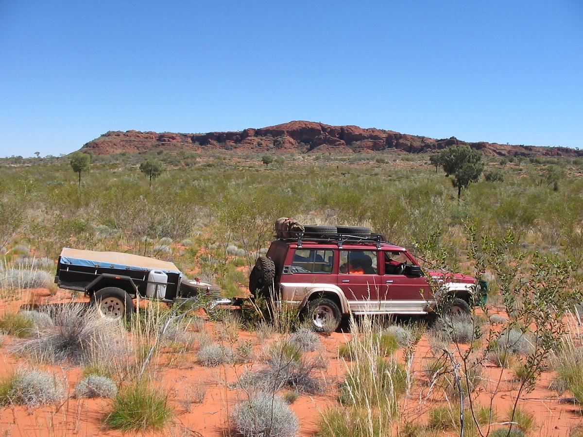
We reached our turn off point by mid-afternoon, dropped the tyre pressures to 20psi and set along the sandy track heading north at first and then eventually meandering in a Southwesterly direction. We passed by some disused and storm damaged water tanks and around four o’clock I started looking for a campsite. I like driving with my window open when on bush tracks. This time however, a stick came in through the open window and gave me a blood nose. A small clearing in the Spinifex grass, which was most likely a scrape made by the track construction party, presented itself soon afterwards as a camp site. Camels had used it the night before and the aroma of dung and urine still hung about. Covered with some sand it soon disappeared. The country is truly spectacular with mountains in the distance and open plain grassed areas with lots of Desert Oaks. The group led by my friend, was keen on finding camel tracks. He took them for a walk in the desert and spent the rest of the evening telling yarns of his life experiences. I refuelled the Nissan from my jerry cans.
Idirriki Range
We still had around 100km to travel along this track to a specified point, which lay adjacent to Mt Winter, which in turn, lies at the easternmost perimeter of the Cleland Hills. The track was washed out in places, and sometimes overgrown. Progress was slow. We eventually got to our destined point but saw no track leading off to the west as was shown on the map.
Mount Winter
We backtracked to the disused airstrip and found a shot line heading north from the airstrip. It was not too badly overgrown and after about ten kilometres it veered off towards the escarpment and led us right to Muranji Rockhole
Muranji Rockhole
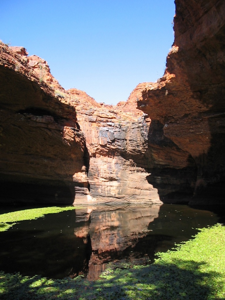
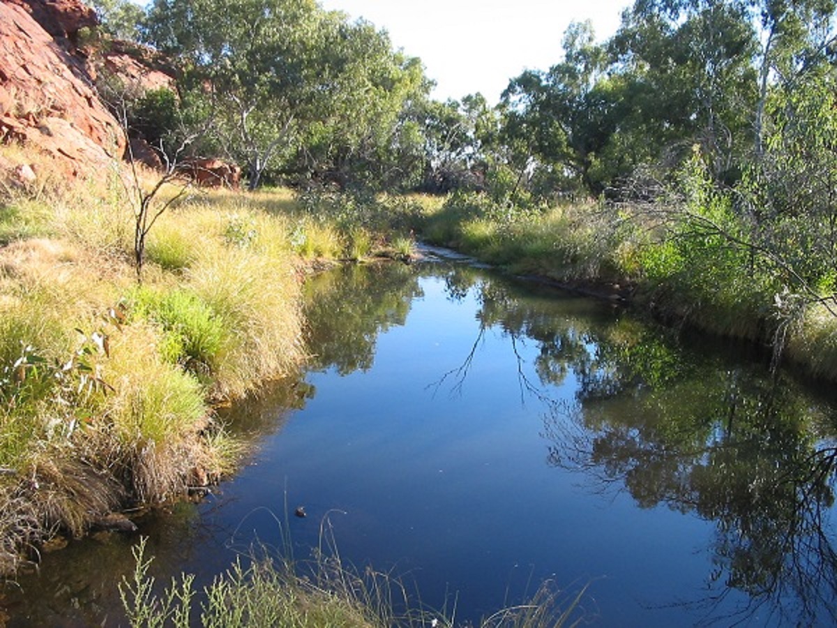
The tumbling waters have carved this natural hole in the escarpment over the millennia, and a rock base has formed to a water catchment area, which is never dry. Crystal clear waters with some waterweed growing along the waters edge looked inviting but we stayed out. Some initial scouting around came up with some stone chips and some rubbing stones, which lay, on the plain surrounding the escarpment.
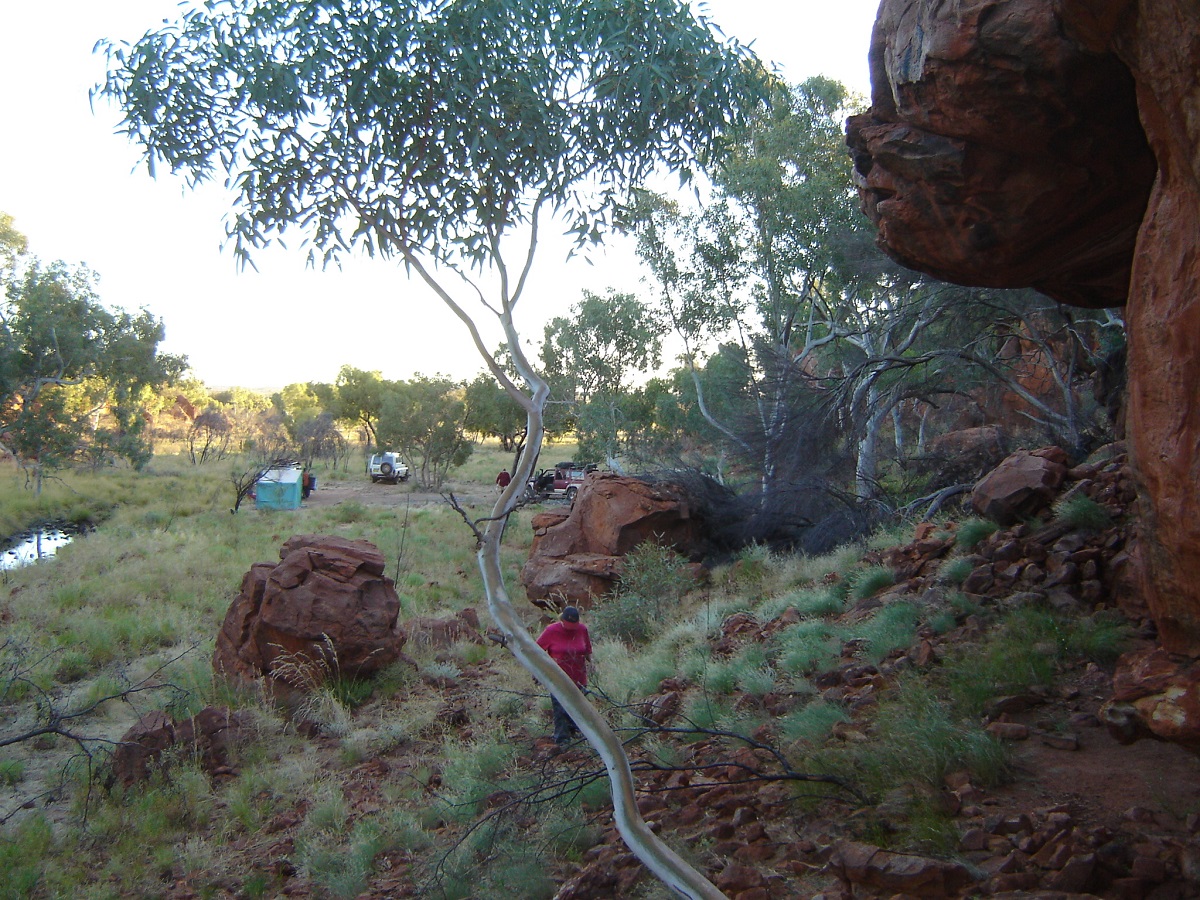
Nearby was a disused camp with a lean to and some rubbish lying about. Drums had been used to put the rubbish in but not removed, and the crows had done their bit to spread it about. While the rest of our party went for a walk I went looking for a suitable place to camp and drove south along the escarpment. I came to a place where a rather deep dry creek had to be negotiated and decided to turn back. When I met up with the others again they had followed in my tracks and we found a place to set up with some Desert Oaks for shade. One must never camp under a Desert Oak tree, as they are liable to drop their lower branches without warning. We set up camp for the next four nights.
As my old friend was interested in finding some petroglyphs in the area we concentrated on the southern edge of the escarpment looking for a rocky ledge, which may have contained some very interesting petroglyphs. Unfortunately he did not have the co-ordinates for the place. The first day out we drove as far as Gill Creek, which has lush growth for a desert waterway.

Gill Creek Gums
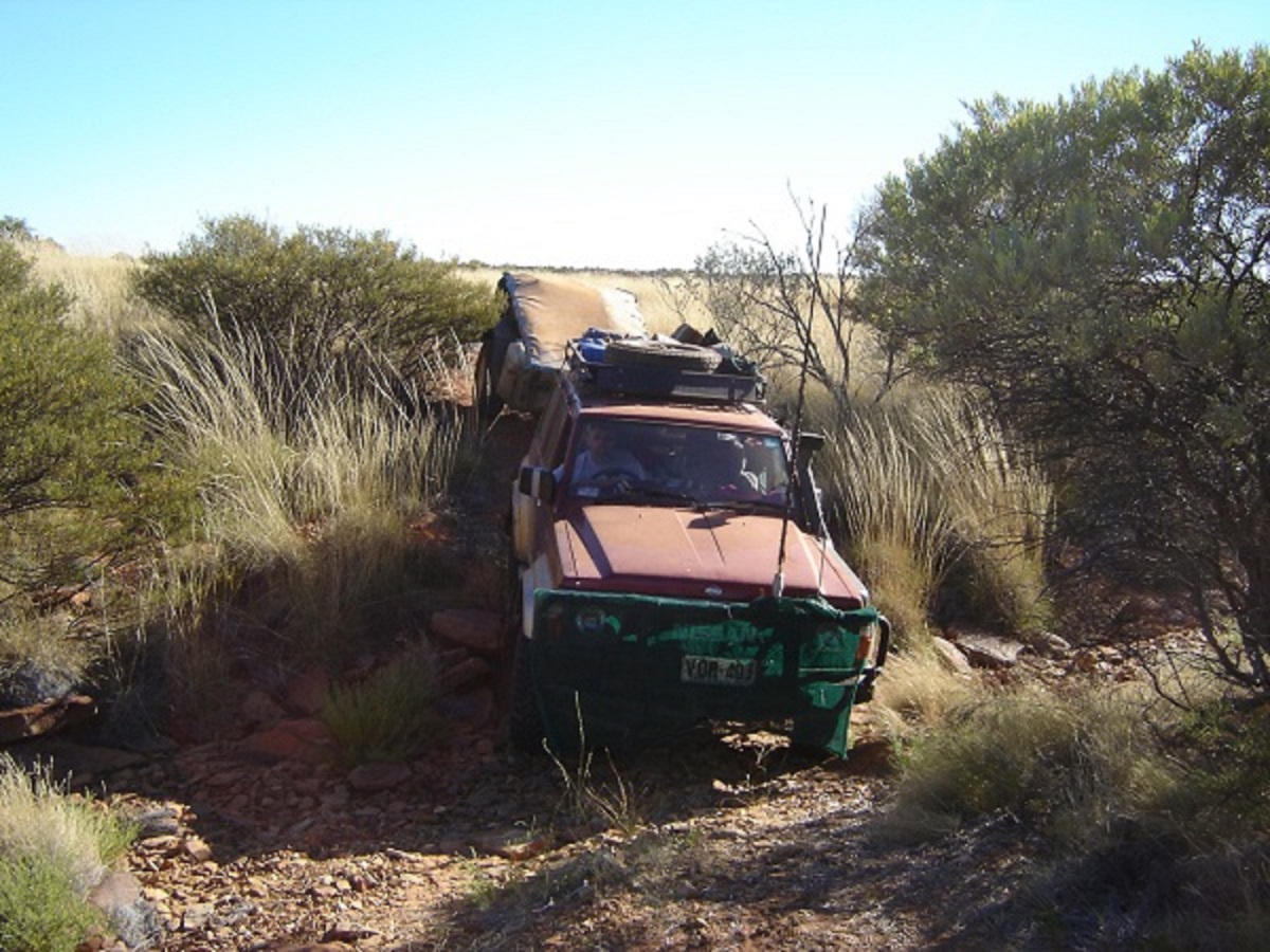
Getting there was something else, as we had to drive across some rugged country. Along the plain there are a few watercourses to negotiate but most of all dead Mulga and what is known as Turpentine stakes, Grevillea trees and scrub and Blue Mallee. As I was always leading the convoy I had to make sure that I put the wheels in such places as to avoid brushing up against broken wood stumps. It took three hours to negotiate about twenty kilometres and I staked 2 tyres in the process. Others in the convoy also had punctures.
We walked up Gill Creek to a lovely shaded area where there were pools of crystal clear water. I was feeling the heat and my legs were aching from the exercise. I reminded myself that next time I must take my walking stick with me. I had a big drink of water and a wash down to cool off as we were now in the heat of the day. The pools had tadpoles and small frogs living in them, as well as some quite large water beetles.

Gill Creek pools
On our return to camp I came across an unmarked shot line on our maps. It was very overgrown but went in the general direction, which we were travelling in. So we followed it until we met the airstrip track again. We then also saw where the other track headed off to in a southeasterly direction from our position. It too, is boldly marked on the map, but very overgrown and has had no traffic for many years. We found a marker that stated that the track was made in 1981. This would have happened when the Mereenie Oil Field was being explored and seismic operations were being conducted.
Once back at camp we rang my mate’s friend in Melbourne on the Satellite phone, to enquire as to exactly where these petroglyphs were to be found. He came back with an answer which, translated into plain language, sounded like this: “If you go about ten to twelve kilometres due South West from Muranji Waterhole, as the crow flies, then you should come into a valley. There is a very large white gum we camped under. Now walk two hundred metres south from there and you will see a ridge about thirty metres in height. The waterhole is up there and the petroglyphs are next to them”. (six years later I was to discover that the direction was North East and not South West…a big difference!)
Now it sounded that they accessed the area by helicopter.
Having read books and diaries by the explorers, Ernest Giles and Michael Terry and archaeological accounts by Dr. Josephine Flood and Mike Smith, my interest has always been to try to get to some of the places mentioned in these transcripts. I have been interested in particular, in the ‘faces’ rock carvings of the area, as depicted in a variety of publications.
An old friend of mine, who has spent many years leading camel safaris in Central Australia, mooted the idea of getting to see these places, and with this in mind, I set about planning such a trip. As with many events the planning takes some time. I needed at least two vehicles on this expedition and with contacts and acquaintances in real life and via the Internet, managed, in the end, to gather together seven participants in four vehicles. Some of us were to meet personally for the first time and it would be a test of personalities to see how we got on together in the bush.
Puritjarra is the name of a site of human occupation now being mooted to date back 30,000 years. It is situated along the eastern escarpment of Mt Winter, which again, is at the end of the Cleland Hills. Puritjarra was not a permanent encampment, but rather a resting place for the many nomadic tribes who foraged for food throughout the desert regions. Within the area, and encompassing the Puritjarra shelters lies a permanent rock pool, now known as Muranji Waterhole. The explorer, Ernest Giles passed by this area in 1872, Michael Terry exploring on behalf of mining companies visited Thomas Reservoir to the north on his expedition of 1932 and Archaeologist Michael Smith, on behalf of museums, has conducted excavations in this area for a period spanning from 1980. Others have joined Michael Smith for various reasons and have written about the significance of this place. In earlier times the Pintubi clan visited this area but it is claimed to be the ancestral home of the Ikuntji clan who now reside permanently at the Haast’s Bluff Community.
I applied, on behalf of myself, and the others, for a permit to access these traditional aboriginal lands. After a lengthy period, the permit was granted with strict conditions.
Our group gathered in Alice Springs during the last week of April 2006, and we set off for our destination. The first part of our journey took us through the McDonnell Ranges and out on to Missionary Plain. Last fuel supplies and snacks to munch were bought at Hermannsburg and we aired down the tyre pressures near the display house of the famous aboriginal artist, the late Albert Namatjira. Then we were off the black top and on to the Mereenie Loop Road. This road, in April 2006, is in bad repair due to the volume of tourist traffic it experiences. Along the way we helped some backpackers to retrieve their van from a bogged position on the side of the road, and also stopped to offer assistance to travellers who had rolled their hired Landcruiser. Many overseas visitors have no idea of outback road conditions in Central Australia and invariably become unstuck.
We reached our turn off point by mid-afternoon, dropped the tyre pressures to 20psi and set along the sandy track heading north at first and then eventually meandering in a South-westerly direction. We passed by some disused and storm damaged water tanks and around four o’clock I started looking for a campsite. I like driving with my window open when on bush tracks. This time however, a stick came in through the open window and gave me a bloody nose. A small clearing in the Spinifex grass, which was most likely a scrape made by the track construction party, presented itself soon afterwards as a camp site. Camels had used it the night before and the aroma of dung and urine still hung about. Covered with some sand it soon disappeared. The country is truly spectacular with mountains in the distance and open plain grassed areas with lots of Desert Oaks. The group led by my friend, was keen on finding camel tracks. He took them for a walk in the desert and spent the rest of the evening telling yarns of his life experiences. I refuelled the Nissan from my jerry cans.
We still had around 100km to travel along this track to a specified point, which lay adjacent to Mt Winter, which in turn, lies at the easternmost perimeter of the Cleland Hills. The track was washed out in places, and sometimes overgrown. Progress was slow. We eventually got to our destined point but saw no track leading off to the west as was shown on the map.
We backtracked to the disused airstrip and found a shot line heading north from the airstrip. It was not too badly overgrown and after about ten kilometres it veered off towards the escarpment and led us right to Muranji Rockhole
The tumbling waters have carved this natural hole in the escarpment over the millennia, and a rock base has formed to a water catchment area, which is never dry. Crystal clear waters with some waterweed growing along the water’s edge looked inviting but we stayed out. Some initial scouting around came up with some stone chips and some rubbing stones, which lay, on the plain surrounding the escarpment.
Nearby was a disused camp with a lean to and some rubbish lying about. Drums had been used to put the rubbish in but not removed, and the crows had done their bit to spread it about. While the rest of our party went for a walk, I went looking for a suitable place to camp and drove south along the escarpment. I came to a place where a rather deep dry creek had to be negotiated and decided to turn back. When I met up with the others again, they had followed in my tracks and we found a place to set up with some Desert Oaks for shade. One must never camp under a Desert Oak tree, as they are liable to drop their lower branches without warning. We set up camp for the next four nights.
As my old friend was interested in finding some petroglyphs in the area, we concentrated on the southern edge of the escarpment looking for a rocky ledge, which may have contained some very interesting petroglyphs. Unfortunately, he did not have the co-ordinates for the place. The first day out we drove as far as Gill Creek, which has lush growth for a desert waterway.
Getting there was something else, as we had to drive across some rugged country. Along the plain there are a few watercourses to negotiate but most of all dead Mulga and what is known as Turpentine stakes, Grevillea trees and scrub and Blue Mallee. As I was always leading the convoy, I had to make sure that I put the wheels in such places as to avoid brushing up against broken wood stumps. It took three hours to negotiate about twenty kilometres and I staked 2 tyres in the process. Others in the convoy also had punctures.
We walked up Gill Creek to a lovely shaded area where there were pools of crystal-clear water. I was feeling the heat and my legs were aching from the exercise. I reminded myself that next time I must take my walking stick with me. I had a big drink of water and a wash down to cool off as we were now in the heat of the day. The pools had tadpoles and small frogs living in them, as well as some quite large water beetles.
On our return to camp I came across an unmarked shot line on our maps. It was very overgrown but went in the general direction, which we were travelling in. So we followed it until we met the airstrip track again. We then also saw where the other track headed off to in a south-easterly, direction from our position. It too, is boldly marked on the map, but very overgrown and has had no traffic for many years. We found a marker that stated that the track was made in 1981. This would have happened when the Mereenie Oil Field was being explored and seismic operations were being conducted.
Once back at camp we rang my mate’s friend in Melbourne on the Satellite phone, to enquire as to exactly where these petroglyphs were to be found. He came back with an answer which, translated into plain language, sounded like this: “If you go about ten to twelve kilometres due South West from Muranji Waterhole, as the crow flies, then you should come into a valley. There is a very large white gum we camped under. Now walk two hundred metres south from there and you will see a ridge about thirty metres in height. The waterhole is up there and the petroglyphs are next to them”. (six years later I was to discover that the direction was North East and not South West…a big difference!)
Now it sounded that they accessed the area by helicopter. We found out subsequently that they had to get a helicopter in as some of the film crew had become disorientated and had got lost out there. They also damaged their vehicles and had numerous punctures.
The next day we made a second attempt to find the fabled place. This time we were better prepared as far as tracks go as we could follow our tracks from the day before along the shot line. At the end of the shot line I took a compass bearing to the west of where had put a waypoint on our digital maps and started the off-track run. It was slow going. Every valley looked the same as we crossed a number of overgrown sand dunes. These dunes later changed to rough rocky ridges as we were getting close to our first marked waypoint. While waiting for the others to catch up to me I found that my trucks ignition system had failed. There were no ignition electrics to be found. At the same time two vehicles reported punctures. We tested all contact and eventually found that if we applied pressure to the fusible link on the positive main battery terminal all lights were restored. So I cable tied it and had no problems afterwards.
Our party then started walking in all directions looking for a possible location but to no avail. We found nothing like the description and later I had a thought that we were in the wrong area all the time.
The return journey was as slow as even finding one’s own newly made tracks was quite difficult. We arrived back in camp at around 4pm vowing to one day, get better details, and visit the area again.
Our last day at our camp and half the group wanted to take a walk to the north along the escarpment. I decided to drive to the northeast to follow a track we had come across. Another convoy member decided that he would take his vehicle and accompany me as well.
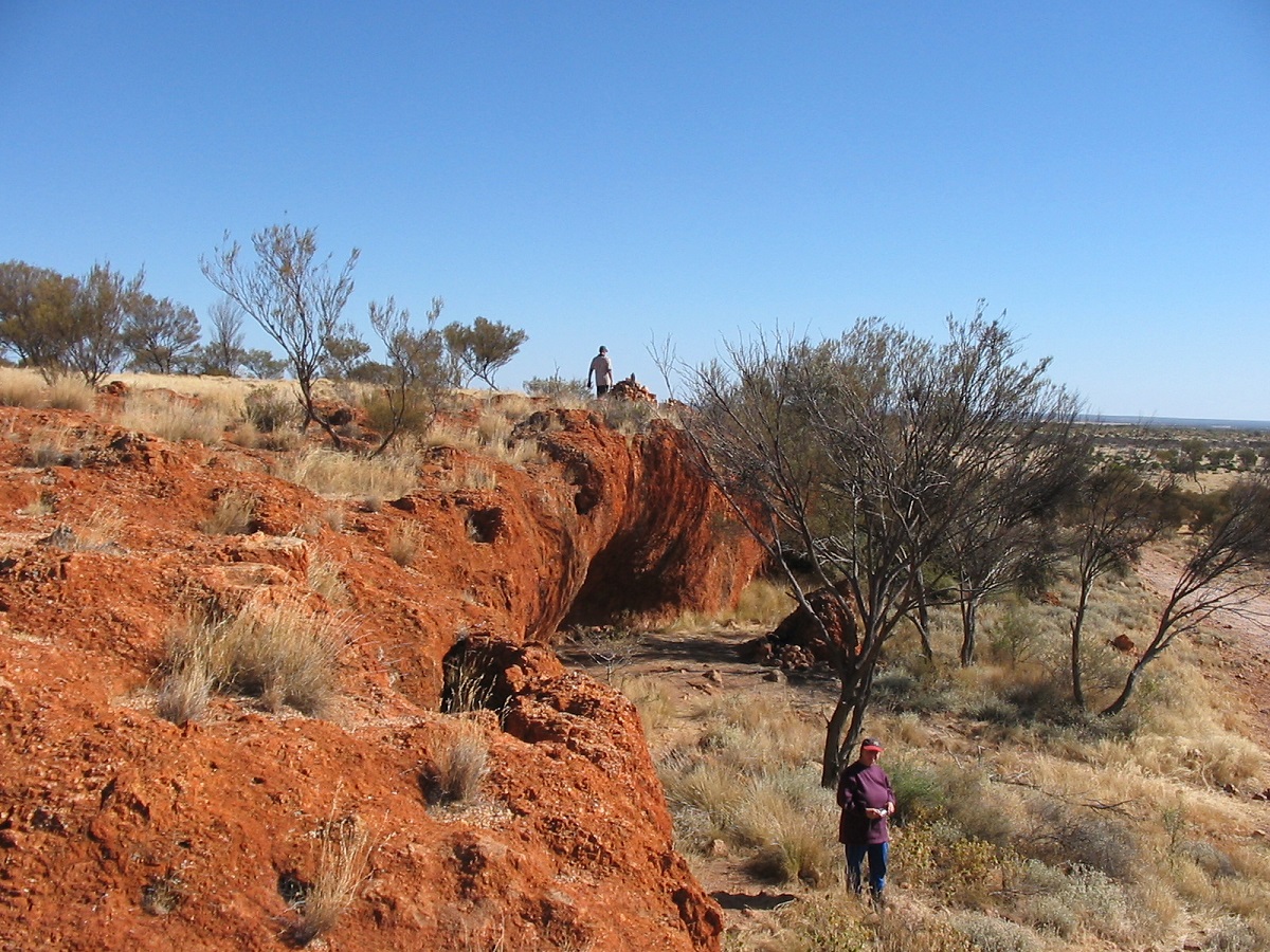
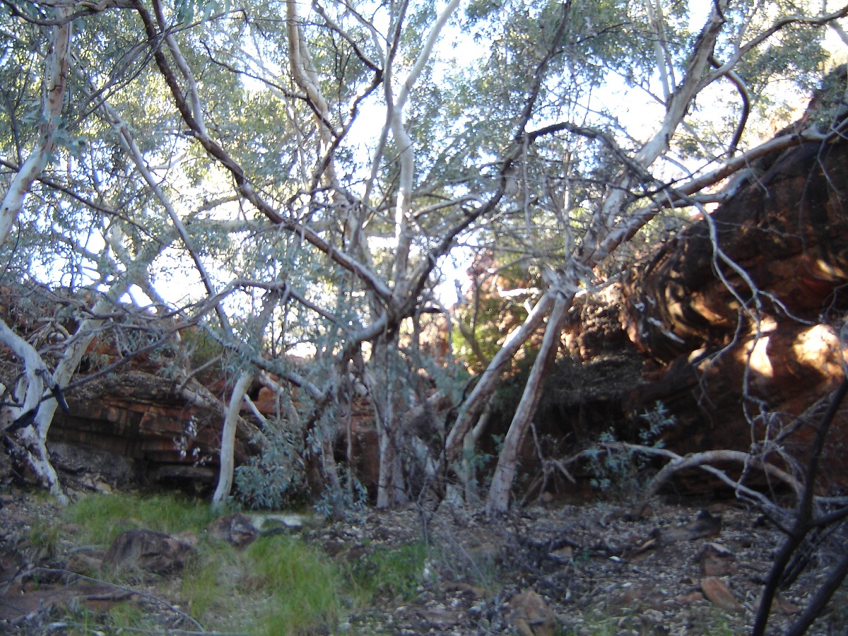
We set off scouting the track and found that it was another approach to Muranji Water Hole. We then drove up a shot line to the north as well, but it too soon became difficult to negotiate. It was still mid-morning when we returned to camp, and so I decided that we might as well try to follow the escarpment to the south to see what we could find. There was quite a deep creek that we had to cross but eventually we found a place over to the other side. The escarpment is quite spectacular with lots of small overhangs, hidden valleys and the brick-like exterior of the sandstone walls.
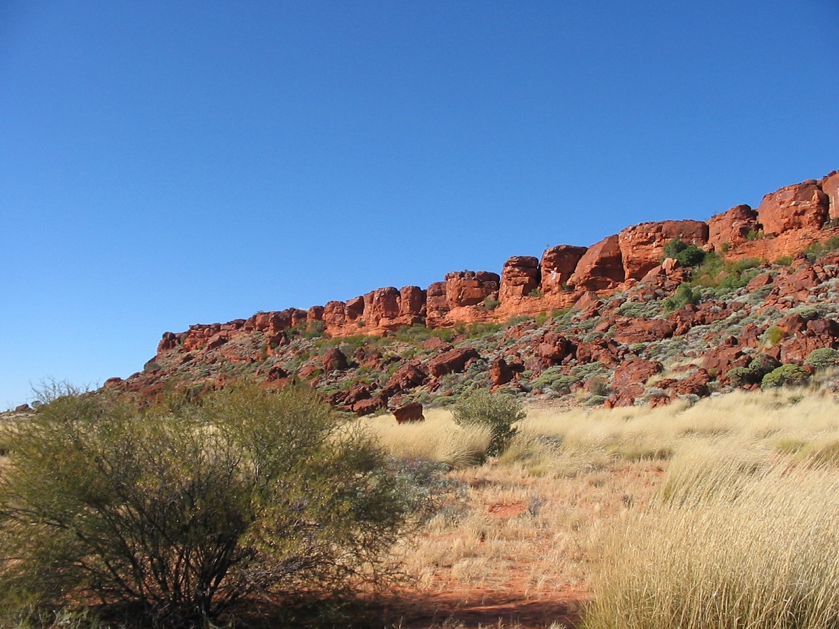
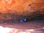
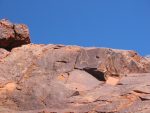
And then we came across what would have inevitably been, Puritjarra, a massive rock shelter, twenty metres high and 45 metres in length. This site had been the place for excavation over a period of twenty years as mentioned before and the oldest artefact found here has been dated at being around 30,000 years old. The general consensus seems to be that Puritjarra was a place of seasonal use when nomads and hunting parties came this way from either the east or the west.
The escarpment with numerous shelters
Rock holes in the escarpment attributed to many small water sources as well as the main permanent water catchment at Muranji Waterhole. I could imagine what it must have been like for our early ancestors but could not see myself as a modern human in that role. Their main aim was to survive and they did this with great success. They also had time to leave their marks of art behind on the walls of these shelters and in this started to create a social structure, which is the basis for the way Homo Sapiens or Modern Man, behaves. Their experiences of those times were very much alike to the humans of Europe, Asia and the Americas.
We had a good look at the shelter and then we climbed around the escarpment looking for other signs of ancient habitation. Later we drove down a valley and then had to do some rock hopping to get out of the escarpment valley.
We returned to camp via the dune corridors and our shot line. In the afternoon we led the others back to Puritjarra where we spent more time discussing the rock art and the site.
After five perfect days out in this eastern edge of the Gibson Desert where the weather was warm during the day and mild at night, we were loath to leave. But we had other commitments elsewhere. I had not found what I had come to look for but subsequently read about exactly where the elusive rock art is. I have vowed to return some day in the not too distant future to find the rock art.
We made for Alice Springs the next morning and reached it by nightfall. Here we took leave of two vehicles as the drivers and passengers were on their way to somewhere on the north-west coast of Western Australia.
A Hard Trek into the Desert 2006
Deserts fascinate a lot of people, including me.
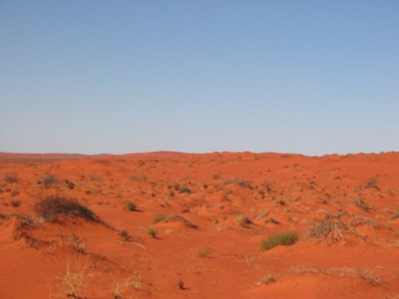
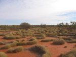
The Simpson Desert is called Arunta, in an aboriginal language. It is the largest parallel sand dune desert in the world and has over 1100 dunes that lie along a South-southeast/North-northwest axis.
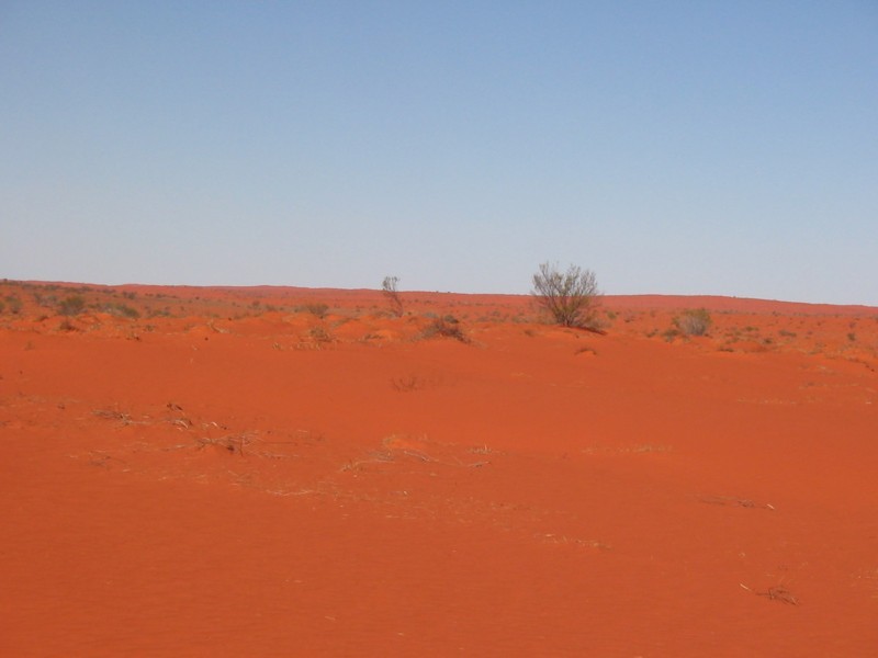
A sea of sand
The Simpson Desert lies across the corners of South Australia, Queensland and the Northern Territory, and is virtually in the middle of Australia.
Most Simpson Desert Aboriginal tribes in the 1800’s were concentrated around the watercourses of the desert boundaries and aboriginal wells. Stone arrangements in the central desert, and the names of many topographic features, suggest that aborigines travelled throughout the area, particularly in favourable years. There were no less than 9 known wells dug so that the early people could travel across the desert. Many of these wells can still be seen but are no longer functional as they have filled with sand. Aboriginal groups living on the edge of this desert area were hunters and gatherers, as most early inhabitants of this continent were, but they also traded implements with tribes to the north and south.
The first European incursion into the desert was by Charles Sturt in 1845. Then came Augustus Poeppel in 1880. Later, in 1886, David Lindsay travelled from Dalhousie Springs as far as Poeppel Corner and back. Others to make forays into the desert were Winnecke and Warburton.
Recent journeys across the Simpson Desert commenced in 1936 with Ted Colson doing a double-crossing of the desert with camels and an aboriginal guide. Then Cecil Madigan mounted a scientific expedition in 1939 using camels as well. Reg Sprigg surveyed tracks and shot lines for petroleum exploration companies in 1962 and was the first known person to actually cross the desert by vehicle. Then Bluey Wells cut the French Line for the Compagnie Generale de Geophysique (CGG) oil search team. Somewhere in this fray the Leyland Brothers drove across the desert. In the early 1970’s Rex Ellis took a tour party across the desert. In 1973 Warren Bonython and Charles McCubbin walked the desert from north to south. In the 1980’s Dennis Bartell as well as Hans Tholstrup did a number of epic journeys, by vehicle or on foot through the desert.
A discussion came up somewhere, and I do not recall where from exactly, as to where the Geographical Centre of the Simpson Desert lies. After doing some research and after contacting Warren Bonython, the co ordinates of 137 degrees 5 minutes East and 25 degrees 22 minutes south were forwarded to me. Warren Bonython and Dennis Bartell agreed upon the co-ordinates.
So with this in mind I decided that I too would like to do a run into the desert and in particular to the Geographical Centre. The year was 1986. I had not been to the Simpson Desert before and had only skirted by through Birdsville in 1980.
At first I gathered up a lot of interest from other potential participants but when I explained of just how rough and dangerous it may be the participants were conspicuous by their absence. In July 1987 we did our trip in two Suzuki’s. See my report THE SPINIFEX TRAIL 1987, here on my website.
Now in 2006 I had the urge to go back there to see if I could find the marker we put there on 4 July 1987. We had used a sextant to calculate our positions but I was not so sure if we had made the right calculations op if the marker was actually in the right proximity. At a later date the co-ordinates had been accepted as the centre of the desert and with the advent of the hand held GPS (Global Positioning System) made the pin pointing thereof so much easier. David and Joan Owen and party accessed the correct site in 1993 and a plaque was erected in 1995.
We left Alice Springs heading south along the Stuart Highway late on the Monday morning, first day of May, as we had to buy stuff and the day being a public holiday in the Northern Territory, did not help at all. On the way to Kulgera we stopped for a cuppa at Camels Australia Camel Farm at Stuarts Well. Then it was on to the Lambert Centre which denotes the Geographic Centre of Australia and which lies 12km off the road on the way to Aputula (Finke).
At this centre a brand new flag was flying in the breeze and we camped in the vicinity for the night. We managed to rustle up enough wood for a good fire but had a reasonably early night. We rose early the next morning, basically on account that my mate always got up around 5am and stirred the fire to boil the Billy.
When it came time to leave I could not find my wallet. We emptied out the truck and trailer but to no avail. I was sick in the stomach just thinking of what I would have to do to get all my cards and licences replaced. I rang the camel farm on the satellite phone. No, not there. I rang home and told the wife of my senior moment. She was quite sympathetic but it didn’t help. Anyway, we could tarry no longer and set off for the day. After a distance we came to a gate and while my passenger was opening the gate, I reached over to get some sweets out of the glove compartment and my wallet dropped into my hand. I only found out then, that there is an elastic band in the top of the compartment to hold maps or the like and the wallet had stuck there. Three different people had searched that compartment. Whew, what a relief!
At Mt Dare we paid $1.85 per litre for diesel and moved on. We bypassed Dalhousie Springs as all of us had been there before and we were on a mission to get as far in to the desert as we could on our first day. The bypass track around the Spring Creek Delta was in operation due to rain the week before, and that put an extra distance on the odometer. At Purnie Bore we all had a hot artesian shower and I took the opportunity to do some washing. We startled a mob of camels soon after we were on the track again and twelve kilometres later I found an open space in between the dunes suitable for a campsite. That night I fired up the Starry Night program on my laptop and we spent a while looking at the different stars in the crystal clear night sky. Day three of our trek and we were going to meet up with another participant, who was coming over from Birdsville on his own, driving a Landcruiser 100TD Auto IFS. I had prearranged to meet him at a certain spot. We had been keeping in contact via satellite phone and HF Radio and he had been talking to participants in vehicle number two, driving their highly modified Landcruiser 80TD.
Not long after midday the fella driving the 100 came through on the UHF radio as he was now in range and quite close to us. So we waited for him.
I had planned a different route to get to the centre but now the scene had changed, as we were at least 50km from where I had planned to head north. A German couple, who were hell bent on driving the desert without much experience of desert conditions at all, hardly any recovery gear and no communications, had accompanied him from Birdsville. I had to rethink my trip strategy as arrangements were now out of sequence.
After a chat and pleasantries I got a compass bearing off the map reader in vehicle number two who had the laptop running at all times and connected to the GPS. I used this method of another map-reader so that I did not have to have my laptop running all the time and so that I could concentrate on finding the best way through the dunes.
We set off to the north along the ridge of a dune. The German couple took off in their Troopcarrier, heading west. We were bouncing along over the Spinifex when someone remarked over the radio that the Troopcarrier was stationary on top of a dune. I said that they were probably stopping for photographs and kept on going. My companions were worried about this couple and said so repeatedly over the air waves and by the time the Troopcarrier was almost out of sight I relented and we turned back to see if help was needed.
Stuck Troopy
Yes, help was needed. The vehicle was stuck on the crest of a dune. It then came to light that the Troopcarrier had no synchromesh on first gear and the driver had no idea how to double clutch to get the necessary gear. His wife was in tears when we returned. So we extricated the vehicle from its predicament and he was given a quick Driver Training lesson. I had to make fresh plans now as the afternoon sun was dropping and so decided to retrace our path back to Erabena Airstrip, where we made camp for the night. After that initial 5-kilometre trek, off track in the desert, there were some doubts by my companions as to whether they should travel the distance to the centre. I had emphasised that it would be hard going but this first taste seemed like it may be too hard. In the end however, they all agreed to continue the journey the following morning.
We had a pleasant camp and I found some fresh dingo tracks close to camp the following morning but had heard no howling during the night. After saying goodbye again to the overseas tourists and leaving them to their own devices, we drove along a formed track to the abandoned Erabena Oil Well and inspected the remains of the operations there. Here I dropped my tyre pressures down to 13psi on the truck and 10psi on the trailer. I regarded both as cold tyre pressures as the tyres had not warmed up yet. Then I took a bearing direct to the Geographical Centre and we were into the rough stuff.
The rough stuff
The Rough Stuff
I do think that unless you have experienced cross-country driving, it is difficult to appreciate just how hard it can be. In the desert your brain is working overtime as you have to make snap decisions as your journey progresses so that you take the right path and do not get bogged. It is also better to follow in the tracks of the leading vehicle even if it seems as if the trip leader is taking the wrong approach. This way the impact on the environment is minimal and it also helps you to stay in touch. In this scenario I found at one stage that the vehicles following were out of sight over in another swale, making their own way. Almost every square metre of the desert looks exactly the same as the next square metre and even with constant radio communications it is very easy to get lost. I found that even with me driving at an average speed of under 10kmh that with a few kilometres I was that far ahead of the convoy that I had to stop and wait for them to catch up. At times they were out of sight and on the other side of a dune.
The hard yard
During the course of the morning I heard a loud CLUNK noise under the truck. Then again a few seconds later and so I stopped immediately. It transpired that the rear nut of the Right Hand Radius Arm (suspension arm) had worked its way loose and had fallen off. I had stopped just in time and the rubber bushes were still in place. A search of the track rendered nothing and the desert claimed another piece of fabricated metal. Luck was on my side however, as I found a nut and washer in my toolbox, which fitted. Whew!
We came across a shot line and after looking at the map decided to take it to the east and then head north along another one. It wasn’t my preferred option but I was being conciliatory and was tired as well. I found an open space in the Spinifex at 3.30pm and it was time to camp.
The next day we broke camp at around 8am and kept on heading east along the shot line. It was very overgrown in places and the pace was slow. At the end of this line we found another shot line heading north. At first it was hardly discernable and followed along the crest of a dune but eventually it smoothed out and we were able to maintain speeds of up 15kmh! We passed a herd of 12 camels as well as three lone bull camels as pointed out by my mate.
When we were about 5km as the crow flies, from the co-ordinates of the centre, I requested another bearing and away we went back across the rough stuff again. Soon after, on top of a high dune crest, I could see an object stick up from behind a dune and declared that it looked as if we were on the right track. We arrived at the centre mast at 12noon, on 5th May 2006.
Geographical Centre
There are a number of plaques set up at this spot and about 200 metres away there is another plaque stating that that particular spot is the centre. Even so my GPS was showing a different co-ordinate to the one stated. We have to rely on the technology from the USA with regards to satellite navigation and it is rumoured to be deliberately off course by up to 100 metres or so. It did not matter though, as we had achieved our goal.
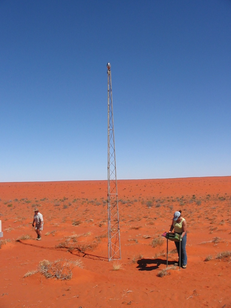
Geographical Centre Tower
I picked a rather dismal looking campsite in a clearing down in the swale, to the west of the centre marker. There were two low Mulga trees but they provided no real shade and we had to erect our own. The day wasn’t hot though but the flies soon found us. We unhitched the trailer, set up camp, had a bite to eat and then I set off driving in a northerly direction. My mate came with me. I did a sweep of around 20 kilometres to the north and then to the south looking for a likely place that we may have planted our marker. But came up with nothing.
Thank goodness for modern technology! We had driven to the north at first and crossed over a few dunes and then turned around. I asked my passenger where he thought our camp was. He made a guess and so did I. In this sea of red sand and dead Spinifex clumps everything looked the same. We were both wrong. Not by far, I might add. Our trusty GPS guided us back to our camp.
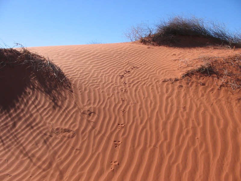
I wanted to spend another day looking for the marker but that night there was grumbling in the camp about spending a whole day out there with only our own shade and lots of flies. My main purpose of this journey was to find the marker we had planted there all those years ago but some of the body language in the camp was decisively unfriendly and to keep things on an even keel I decided that we would return to the French Line the next day. This made everyone happier. I got the distinct impression that my companions were uncomfortable out there in the never-never. We decided to go for a night walk with our torches to see what life we could find along the dune sands. There were some fresh skink tracks and a number of beetles were busy going about their business. Hopping mice are also plentiful in the desert and we found many signs of their activities.
We broke camp early the next morning and set off back along our tracks to the shot line. Where that petered out we had discussed an alternative route to the French Line. My gut feeling was that we should just head due south but once again I was being conciliatory and played along with the idea to access another shot line 9 kilometres away.
It took two and a half hours to reach that shot line. Along the way we came across a desert soak. The soak was dry but the trees growing there and some grasses were alive and had a tinge of green. We assumed that this could have been one of the water holes the ancients used when traversing the desert in wetter times.
We eventually reached the shot line as depicted on our maps as a Cleared Line but it turned out to be so overgrown that it was possibly worse to drive, than the country we had just traversed. After about half an hour of really hard driving, where the pace was under 5kmh, I decided that I had had enough of being conciliatory and swung the truck south and headed away from the shot line. There were protests over the radio but I said that those who wanted to continue along the shot line path could do so on their own, as I was going south.
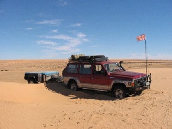
The terrain became better after a while and we were following along and on top of sand hills. We stopped at 4pm in a clearing on the side of a sand hill having progressed 73km for 8 hours of driving. We were now 27km from the French Line. We were all pretty tired that night and turned in before 9pm. My Nissan and the trailer were holding up well although I had lost part of the safety chain during the day. A part of the jockey wheel had also come loose and had fallen off and had by chance been found when we had stopped for morning smoko that morning. I would have to make some alterations to this set-up, if a further trip like this one was envisaged.
Sand ripples
We broke camp at 7.45am and continued on our way south. A south wind had sprung up and was blowing quite fiercely by mid morning. We were lucky that we were driving in flatter country now and there was lots of windswept sand about. I managed to pick a track along the dunes and over the rises and along the tree lined flood outs. We saw dog prints and small birds and wondered where they got their water. We came across a 1979 survey camp where old 44-gallon drums had been left behind to litter the desert. One drum still had some diesel in it. Other bits of scrap were lying about as well and the Landcruiser 80 picked up a slither of steel and the tyre had to be plugged. We arrived on the French Line at 10.30am and headed for the Knolls Track intersection, which lay 8km to the east. The sand, blown by the strong wind, had by now obliterated any vehicle tracks along the French Line and it looked as if we were travelling over virgin country. We spent time at the Approdinna Attora Knolls have a look around and I climbed to the top, a feat which I could not have done the last time I was there. The Knolls Track was very bouncy and speed had to be kept low. We found some trees along the way for a shaded lunch stop. On the Rig Road the corrugations were horrific. We drove 13 kilometres down that track, which crossed a few dunes, and then came on to a flat. We made camp at 4pm. Will see where the track takes us tomorrow. We are all looking forward to camping by some water. We saw no one else today. With the high south winds all day our tracks will soon be obliterated and no one will be the wiser of our passing by. Rang Jude. In bed by 9.30pm.
This morning we made for Kallakoopah Creek. We had a good run south. Then I decided not to go to Marianda Bore as the track was very washed out. Took the track to the east and found Kallakoopah Creek. We tried to drive down Kallakoopah Creek but soon got bushed by salt pans. There were some old tracks to follow but they all ran nowhere. We backtracked to the T intersection and then decided it was too hard to do more cross country driving to access the co-ordinates which had been given to me. So reluctantly we turned around and headed back in our tracks to the Rig Road and Knolls Track where we camped for the night. We had intended to explore the possibility of cross country driving from Kallakoopah to the Warburton Track but decided to leave that for another time.
Kallakoopah Creek
Today we saw three lone bull camels and another herd of about 15 camels. We also saw some wedge tail Eagles and a large feral cat. There are lots of rabbit warrens in the dunes. After a feed I drank some of my firewater I had brought along and promptly fell asleep in my chair.
The next morning we were back on the Rig Road just before 8am. The road is a tad better now with some corrugations. It followed the dune corridor for a while and then it crossed over a number of dunes. Some of the dunes had sand blows on them. A few were hard to get over and when we reached the very last large dune, just prior to the K1 line intersection, I got stopped three quarters of the way up. I must say that I was attempting to cross a sand blow of around 5 metres above the normal road surface. I managed, with some degree of difficulty, to reverse down and turn the truck around. Then I attempted the crossing from another angle. I bogged down on the first part of the dune in powder-like sand. I aired the tyres down to 9 psi and with some digging and mats in front of the wheels I managed to drive the truck out and then over the next dune rise. I pumped the tyres back up to 25psi once on the K1 Line/Warburton Road.
A captive of the sand
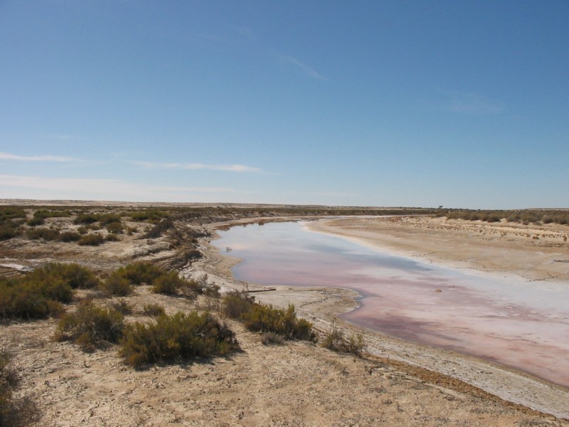
It was an easy run to the Birdsville Track along the Warburton and Yelparawalina Tracks through some very dry and bleak country. Near Clifton Hills Station we saw a helicopter flying in the distance. At the Birdsville Track we saw the first other travellers is a week when a vehicle sped past in front of us at speed. Then we proceeded to Mungerannie Pub where we bought drinks, snacks and fuel. We had a chat with the owner, John Hammond, who confirmed that Kallakoopah Creek was bone dry. We then set off for Clayton Bore along the Birdsville Track. I had to refuel the last of my jerry cans along the way and we also collected lots of dry wood for the fire. It was dark when we arrived at Clayton Bore and as I turned off the road my right side headlight went out.
The owners of Clayton Station have set up Clayton Bore for travellers to use. It features a spa, an artesian shower, and toilet facilities. Clayton Station does not charge a fee but they do ask for a donation for the upkeep of these excellent facilities.
We all luxuriated in a hot shower and had tea while neighbouring travellers came over for a chat. They also brought marshmallows with them, which I enjoyed.
After packing up, the 100 series owner said goodbye to all and headed for his home in Brisbane. I packed the trailer and truck after breakfast and then I got the artesian spa going. When it was full I went and relaxed in it. It was very hot and my skin turned into to a lighter shade of pink. It is needless to say that I didn’t stay in the spa for very long. Later in the morning we drove down to the wetlands where the artesian water flows into Clayton Creek, and looked at the scenery and some strange shaped volcanic rocks. I replaced a fuse and the headlight was working again. Then we were off to Marree and beyond. Along the way we drove past some road construction and a wetted road, which muddied up the truck and trailer. We called in at Farina to look at some graves in the old cemetery. We said our goodbyes there and parted company with the other participants. Back on the sealed road at Lyndhurst we aired the tyres up again to road pressures.
Driving along near Leigh Creek we saw a blast going off at the Coal Field. I called in to the viewing platform at the Coal Mine to have a look at some of the workings. Then we ate some overpriced pies at Copley and later refuelled at Beltana Roadhouse. At Hawker I nipped in to the Art Gallery and later I dropped my mate off at his place.
A kilometre away from home the headlight fuse blew again and I snuck down the back streets with one light.
It had been good to get back out in to the desert again, especially to see how it had changed since my last visit. I had not achieved all of my objectives but nothing ventured is nothing gained. The one pertinent thing I gained from this trip was, that you are never too old to learn something, and I have learned some valuable lessons and will be taking a different approach when I tackle the desert again to find my marker.
Anne Beadell Highway 2006
Well, Len Beadell, the surveyor and builder of this road, the Anne Beadell Highway, had a very good sense of humour when he named his rocket roads, ‘Highways’. One can see his humour that from his sketches and cartoons and of his writings in the many books that he wrote. This road, which has now become a track, and which crosses part of the continent from Coober Pedy in South Australia, to Laverton in Western Australia, through the Great Victoria Desert, is close to 1400km in length. Len named it after his wife, Anne.
Anne Beadell Hwy
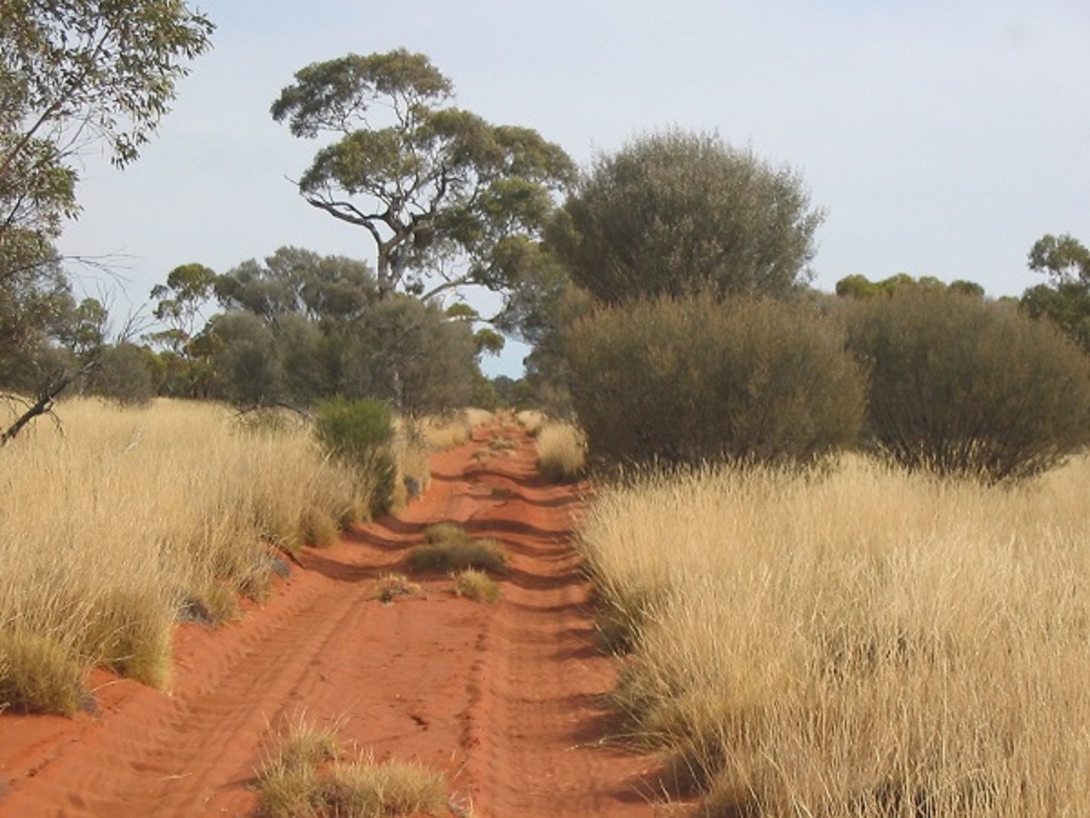
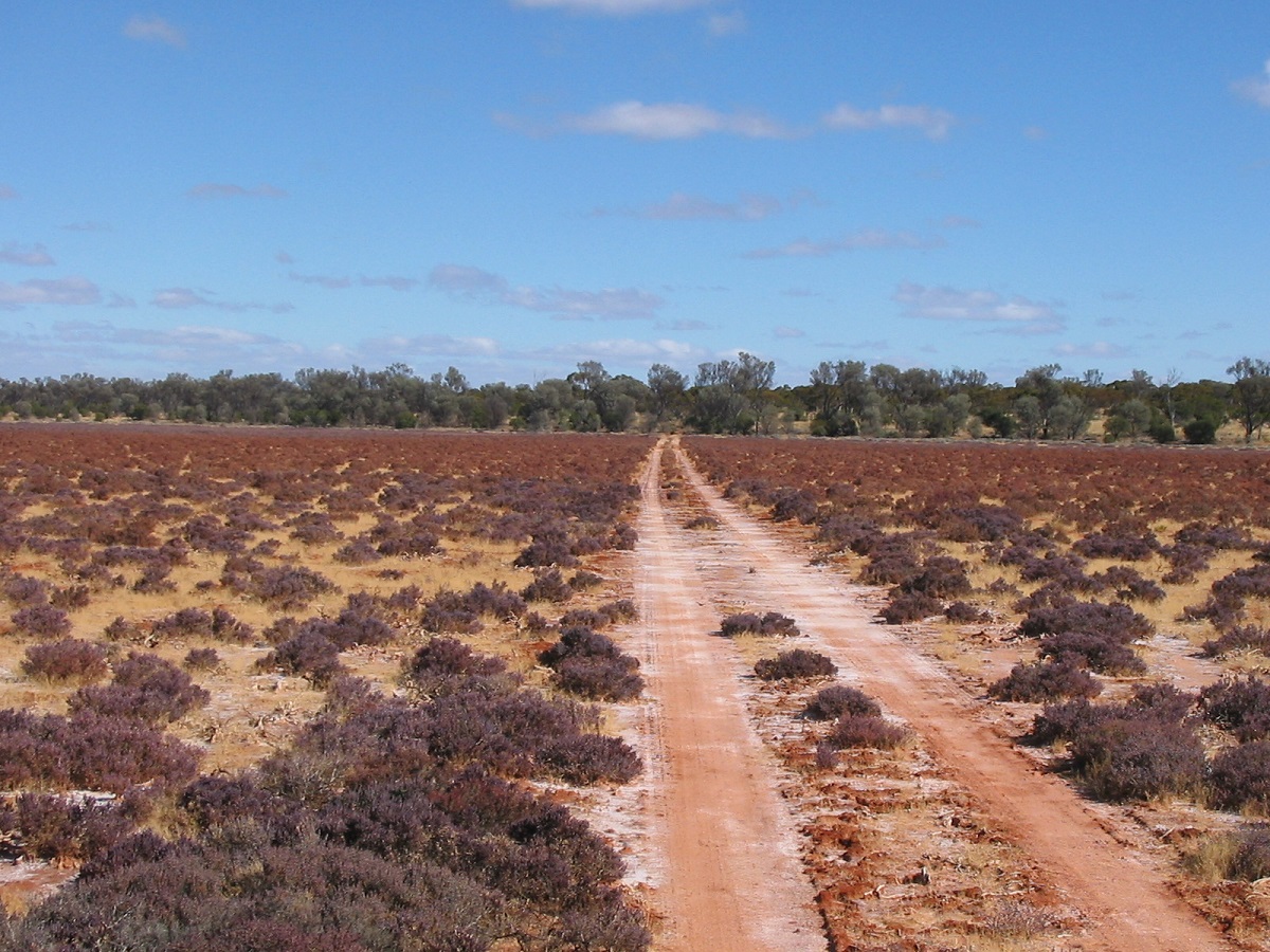
Prior to travelling the AB, which has been done by thousands of others, I was warned of the hellish corrugations up and as far as Emu. They weren’t wrong either!!! The only thing is that the ‘orrible corru’s continued on all the way to Yeo Lakes and beyond, around 1200 kilometres. I dropped the tyre pressures to 20 on the GQ and 10 on the trailer and then tried to maintain 60kmh.
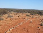
The track known as the Anne Beadell Highway, traverses a rather flat terrain with the odd dune creeping in from the right (if you are travelling in a westerly direction). The foliage is quite interesting in places and Desert Poplars are growing in many places. After getting all the useless permits to travel this way we looked for interesting campsites and found them away from the main AB track. Along one seismic track one of our crew mentioned seeing a shiny thing in the bush. On closer inspection we found that it was a U Beaut Rain Gauge with an inbuilt solar panel. It had been installed maybe a week before, in the absolutely middle of nowhere. Maybe we were not supposed to find it. Anyway, the purpose for this gauge is unknown.

Desert Rain Guage
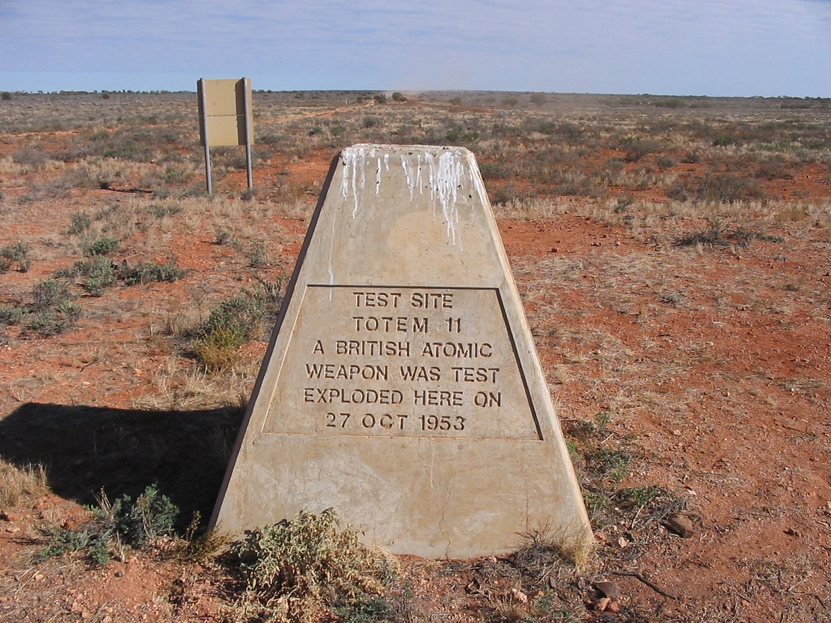
Totem blast site
The atomic blast sites were interesting inasmuch that the foliage which had been vaporised at the time of the blasts, has not grown back even after 54 years. After crossing into WA we were pleased to find Butterfly Rain Tanks along the way and we were able to refill our water container as well as having a shower and a general cleanup. The GQ had no tyre problems on the Anne Beadell but me mate George shredded a MTR 750/16. We are not sure for the reason, the tyre just melted. He was able to buy a used 750/16 at the Ilkurka Roadhouse.
The Ilkurlka(pronounced Ilkuka) Roadhouse is situated on the Madura/Laguna/Anne Beadell crossing and was 3 years in operation at the beginning of July 2006. This very modern facility, has a shop, food, fuel, water, hot showers and more. It also markets Aboriginal Art by the Spinifex People. The managers went out of their way to make us welcome and helped us wherever they could. The Roadhouse has satellite EFTPOS.
After Ilkurka the corrugations became a tad smaller but still did not let up. We camped at a Butterfly Tank, topped up our containers with pure rainwater and caught up with our washing.
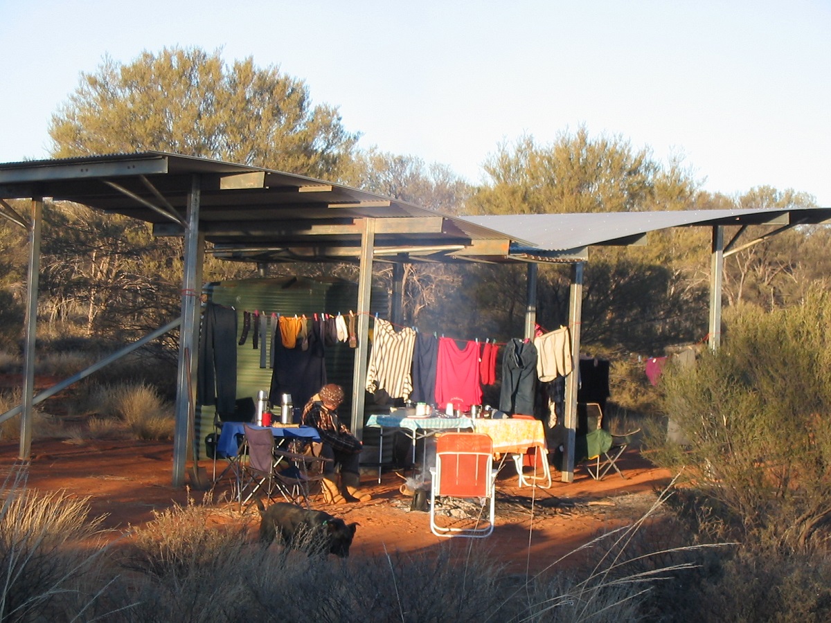
Butterfly Tank camp
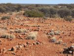
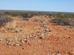
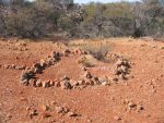
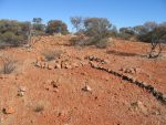
The following day we meandered along the track stopping off an having a look around Aboriginal Stone Arrangemnents at a Ceremonial Site atop a slight rocky outcrop not far off the track. How much of the original stone arrangements are still in place is unknown as it is possible that travellers passing by could have re-arranged them.
We stopped at Neale Junction to sign the Visitors Book. Along the way to Yeo Lake we drove out to see the light plane wreck and after we had entered the Yeo Lake Nature Reserve I drove off along the disused track as denoted by Hema Great Desert Tracks Maps and it disappeared into the sea of Spinifex grass.
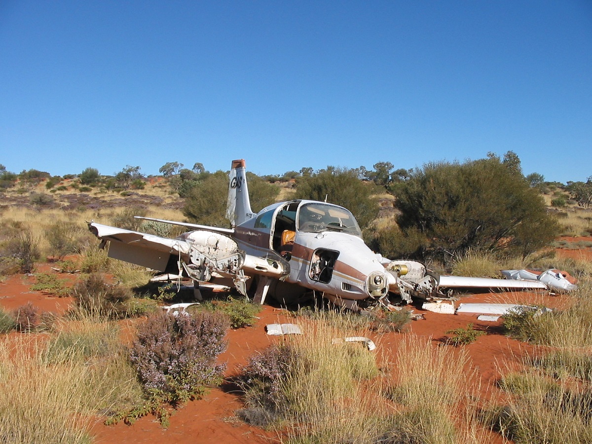
Plane wreck
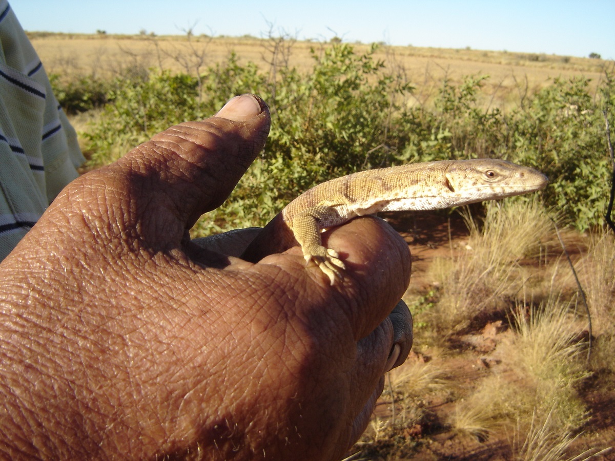
I did not have my Oziexplorer software running on the computer, missed the track in its overgrown condition, and got bushed. I fired up my Laptop and with it married to the Magellan 330 GPS, it saved the day and we were soon on the right track again. Very soon after I found that I had staked the right rear tyre and repairs had to be made. Later we came across this fellow pictured below, walking leisurely across our path. He was unafraid of us and allowed himself to be picked up and admired. I put him safely out of harms way and we continued on our journey.

Thorny Devil
We had hoped to get a glimpse of Yeo Lakes but I guaged the terrain too rough for cross country driving and so we only went for a drive over the Samphire Flats on our way to the abandoned Yeo Station Ruins.
Across the Samphire
Abandoned Yeo Lake Homestead

A well at Yeo Ruins
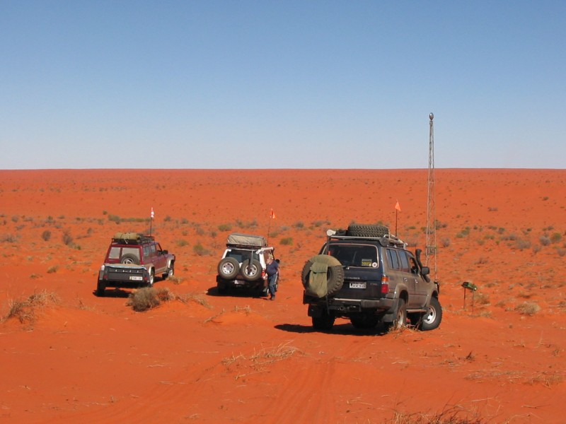
We met only 13 other vehicles on the Anne Beadell Highway and some we had to overtake as they were doing it tough at 20kmh with broken shock absorbers. Needless to say some of them were not amused at us speeding along and one bloke asked over the radio if we were on the Cannonball Run. He was towing a caravan type camper, which was totally unsuited for this type of terrain.
The Anne Beadell Highway, in my opinion, is something to mark down on my map as having been there, but unlikely to draw me there again. Then again, you never know.
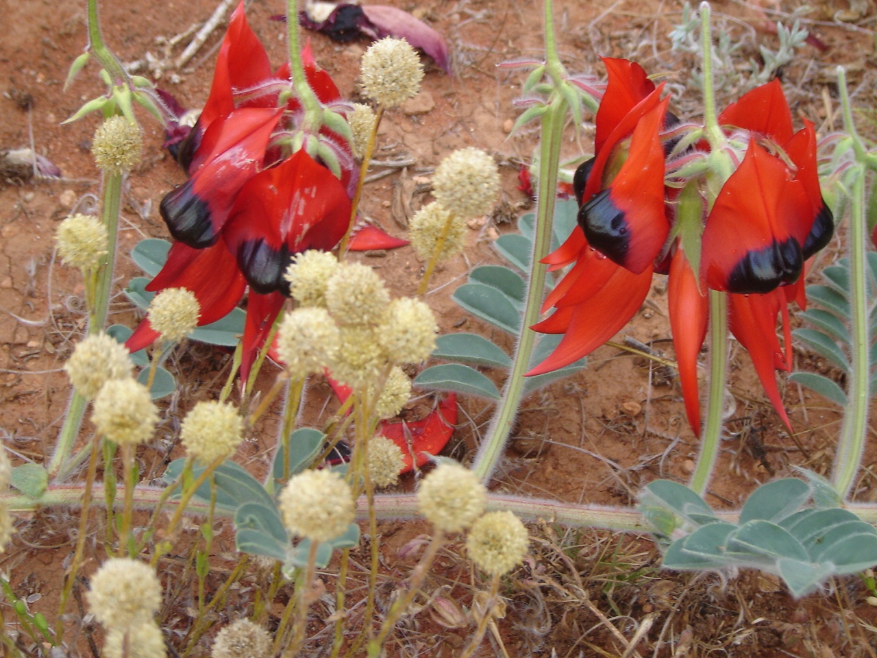
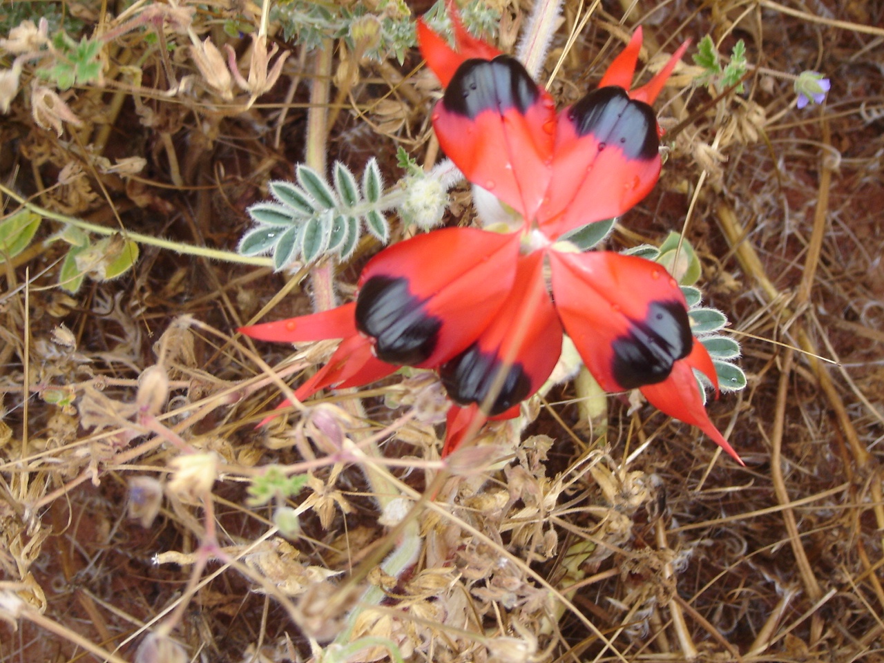
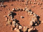
-
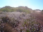
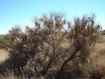
- Spinifex rings
-
- Tree Wandjina
-
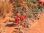
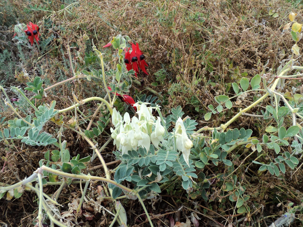
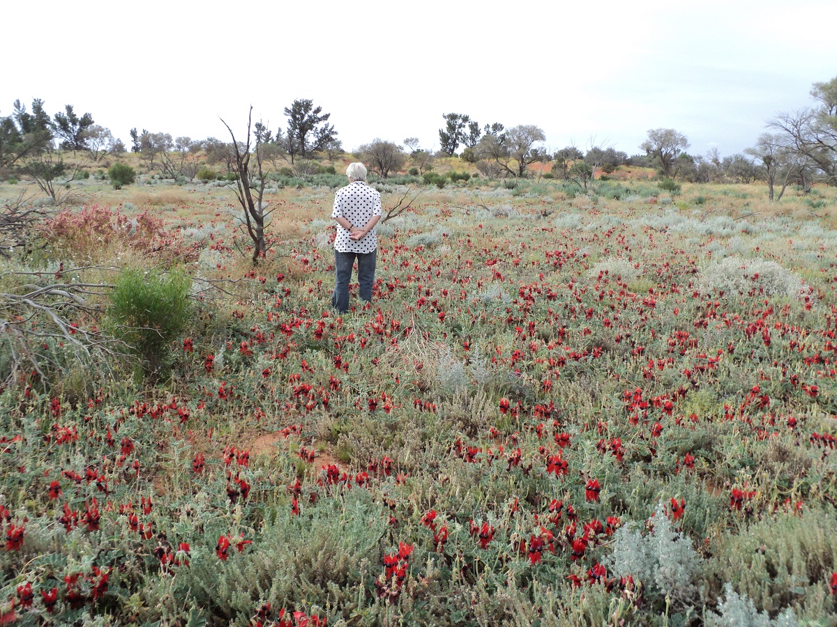
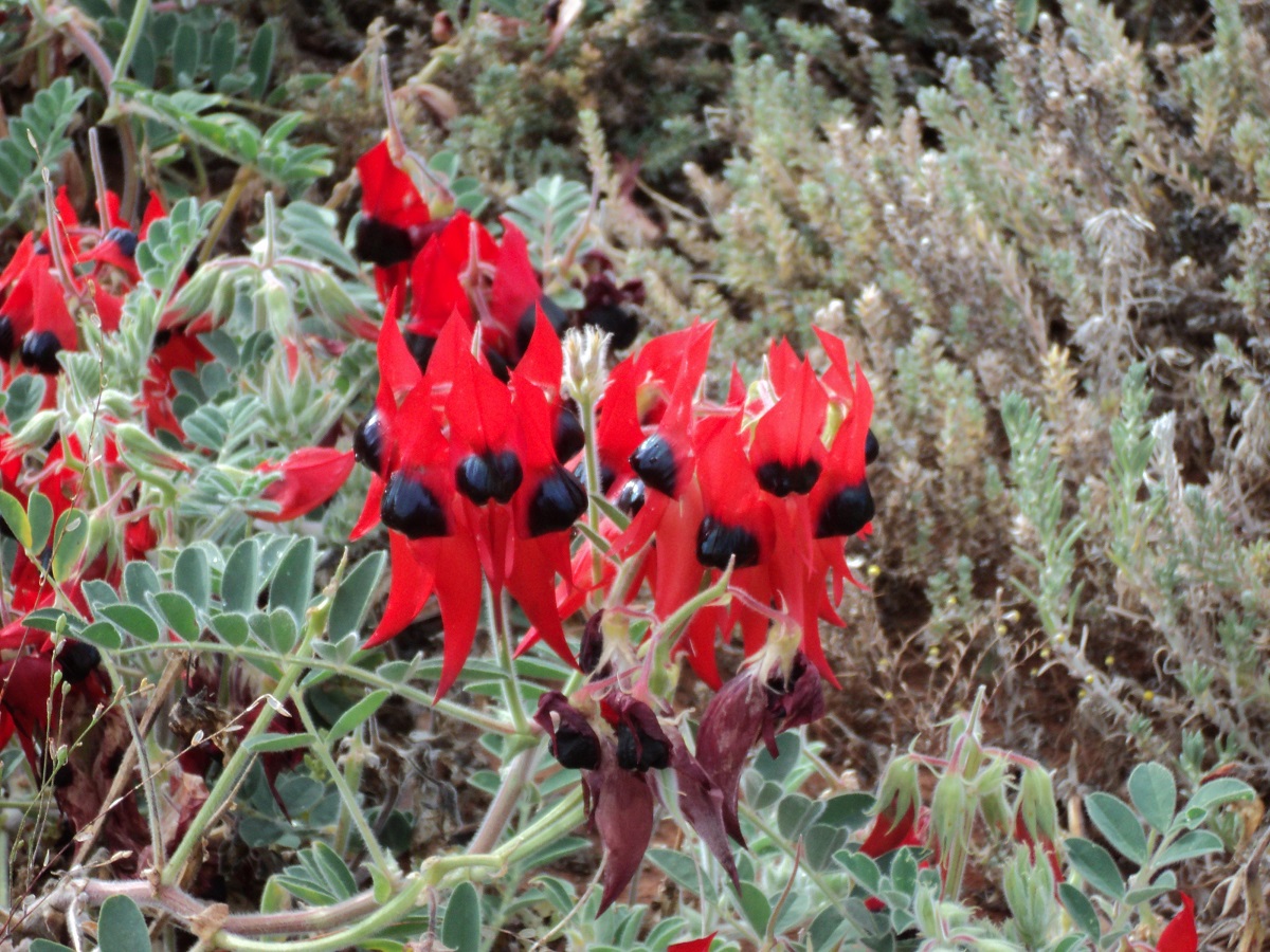
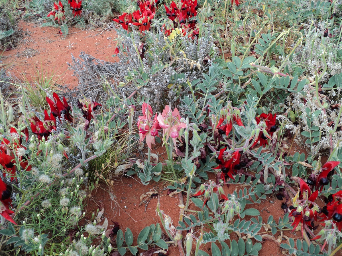
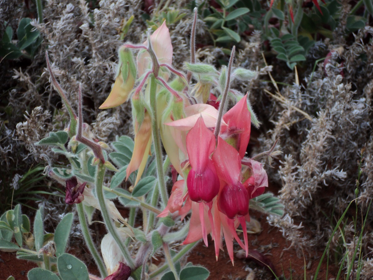
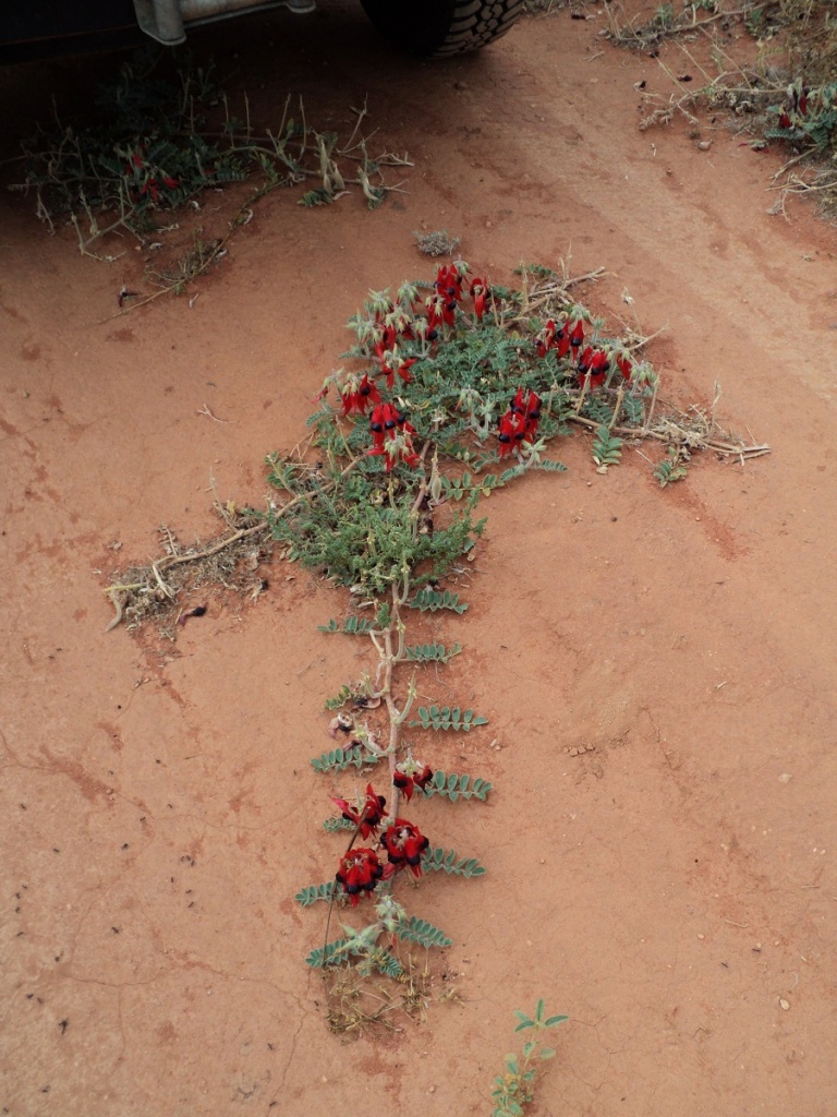
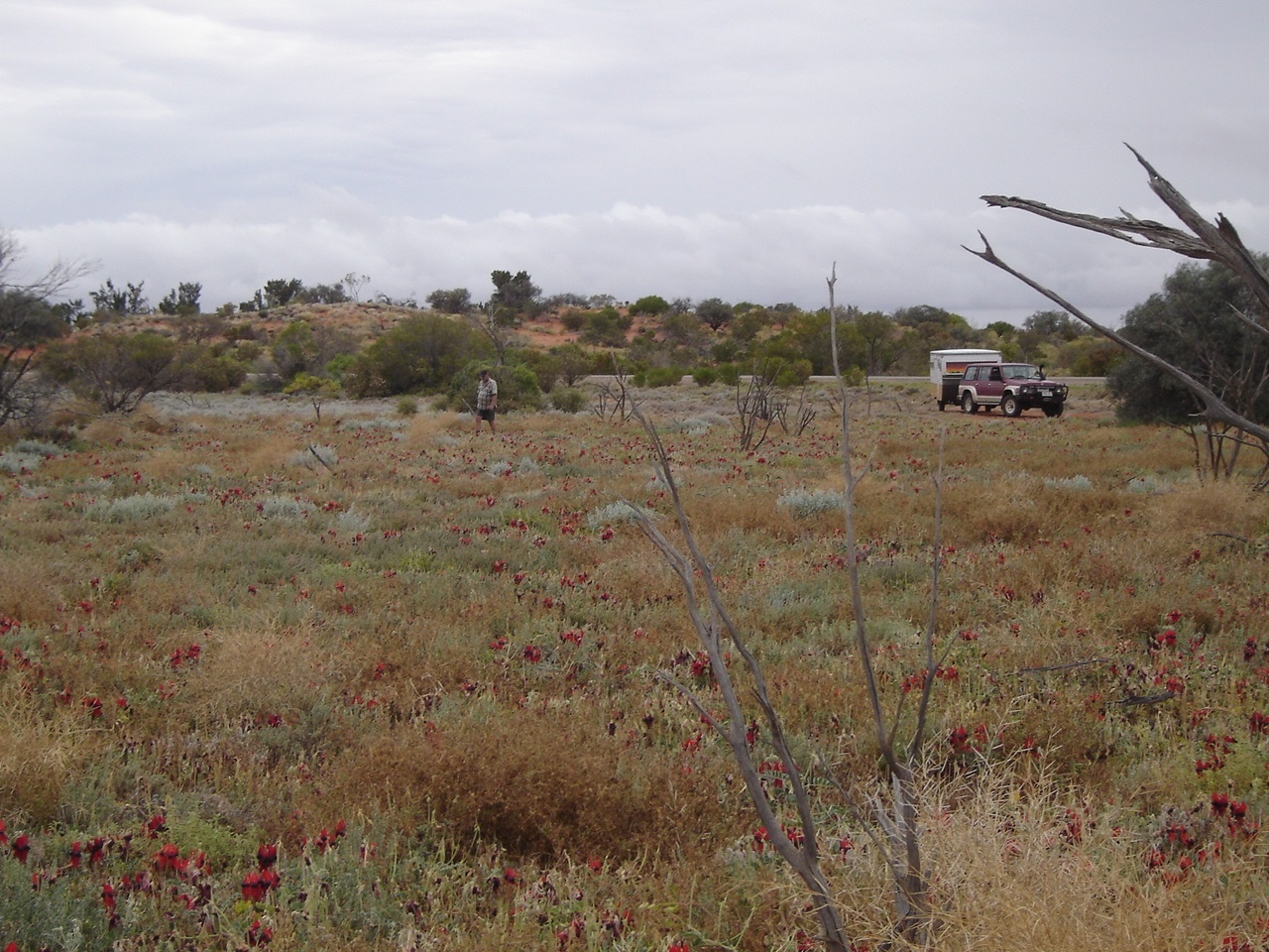
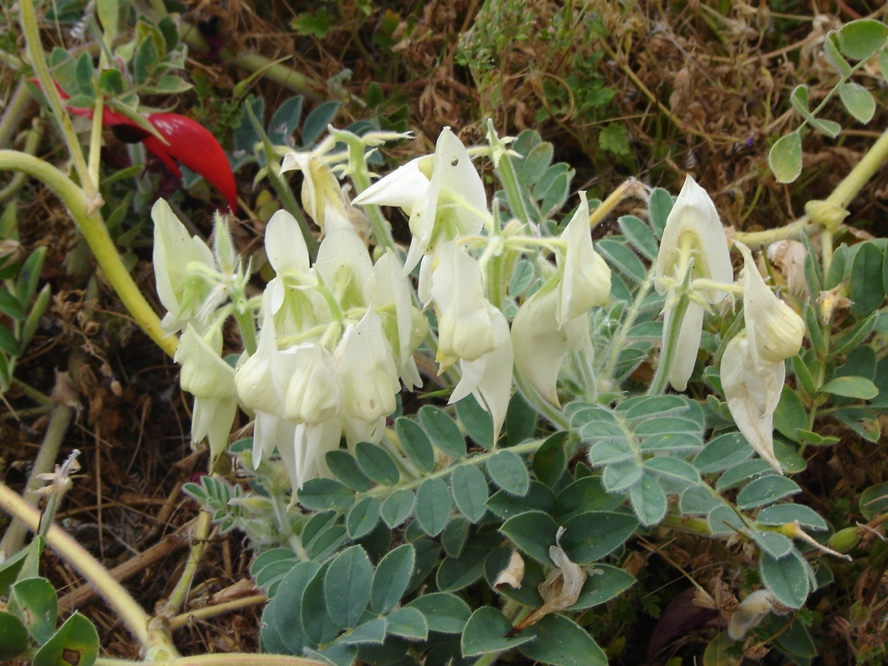
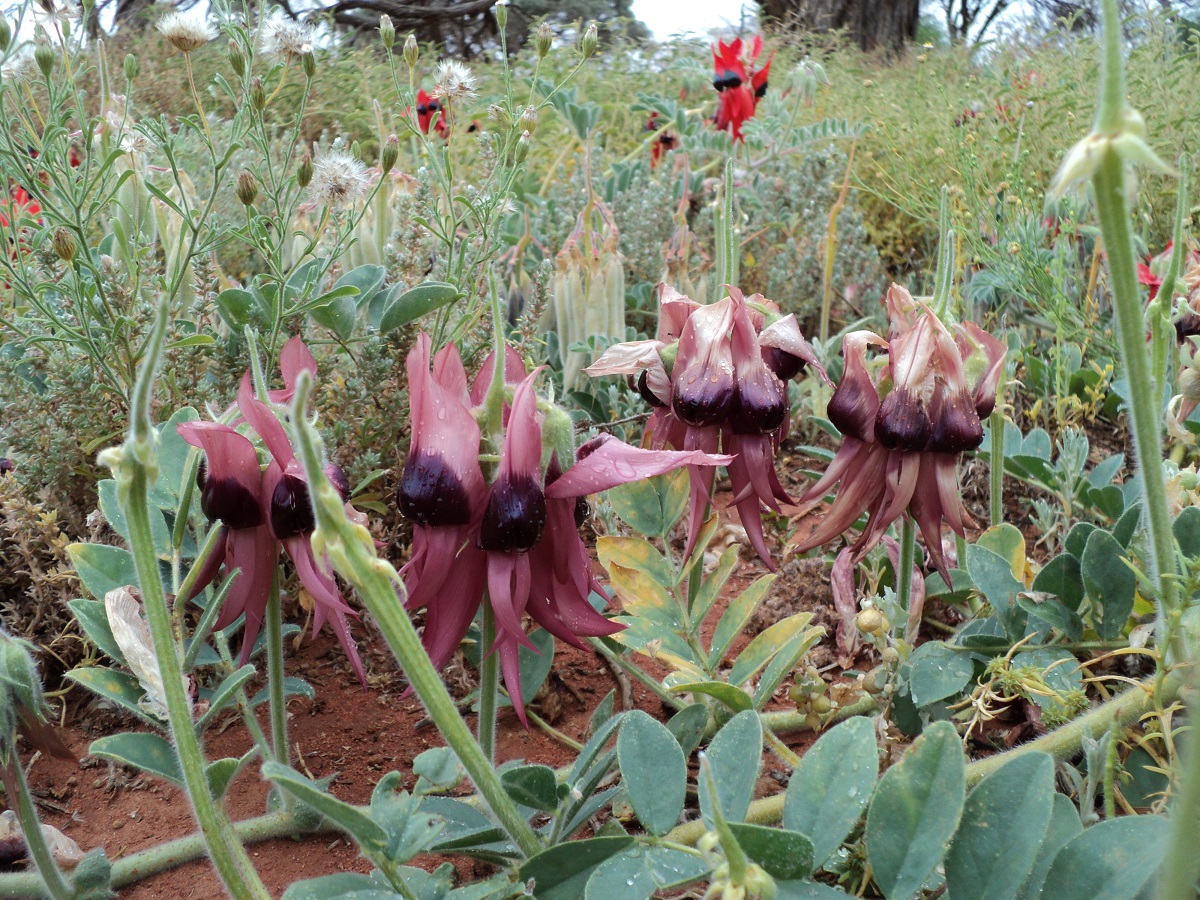
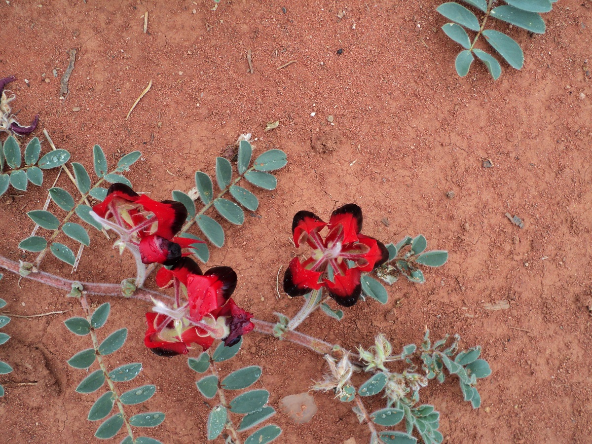
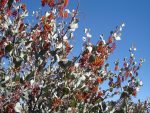
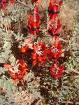
- Sturts Desert Peas
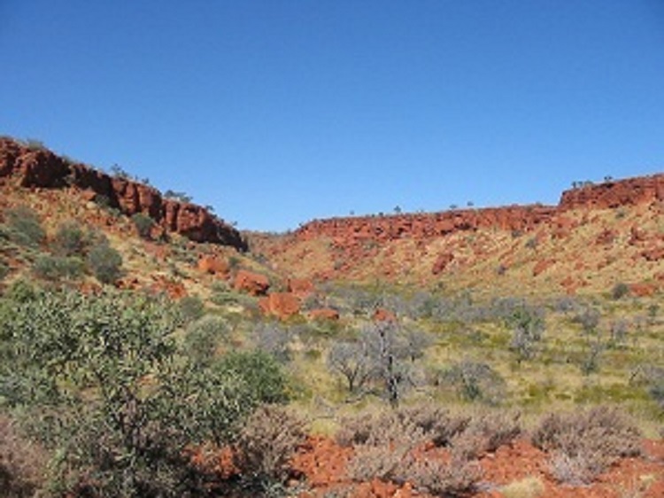
Art of the Calvert Ranges 2006
We turned towards the Great Central Road which runs from Laverton in Western Australia to Uluru and Alice Springs in the Northern Territory and on to Boulia and eventually Winton in Queensland. After camping at Sunday Point we started another adventure up the David Carnegie Road and Eagle Highway. On our way to Tjukayirla Roadhouse on the Great Central Road we stopped at the Beegull Waterholes. In the overhangs nearby there were paintings done by the ancients a long time ago. I could envisage that in times of good rain this would have been an ideal shelter for the ancients with water nearby and a vista over the plains to look out for wildlife.
Beegull Caves
Beegull Cave Art

Beegull vista
After refuelling at the roadhouse and gorging on fast food we back tracked to the David Carnegie Hwy. There is really not much to write about on this track but it had a lot less corrugations though!! We climbed down the opening via a steel rope ladder into Empress Spring along the way, and found it to be bone dry. Someone had written in the visitors book about the presence of a snake down there but we did not see it. David Carnegie was shown this water hole by local aborigines on his exploratory travels in 1896 and he named it Empress Spring .
EMPRESS SPRING
-
- Empress Spring at a glance
-
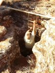
- Going down
-
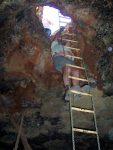
- Going up

A worried Jeddah at Empress Spring
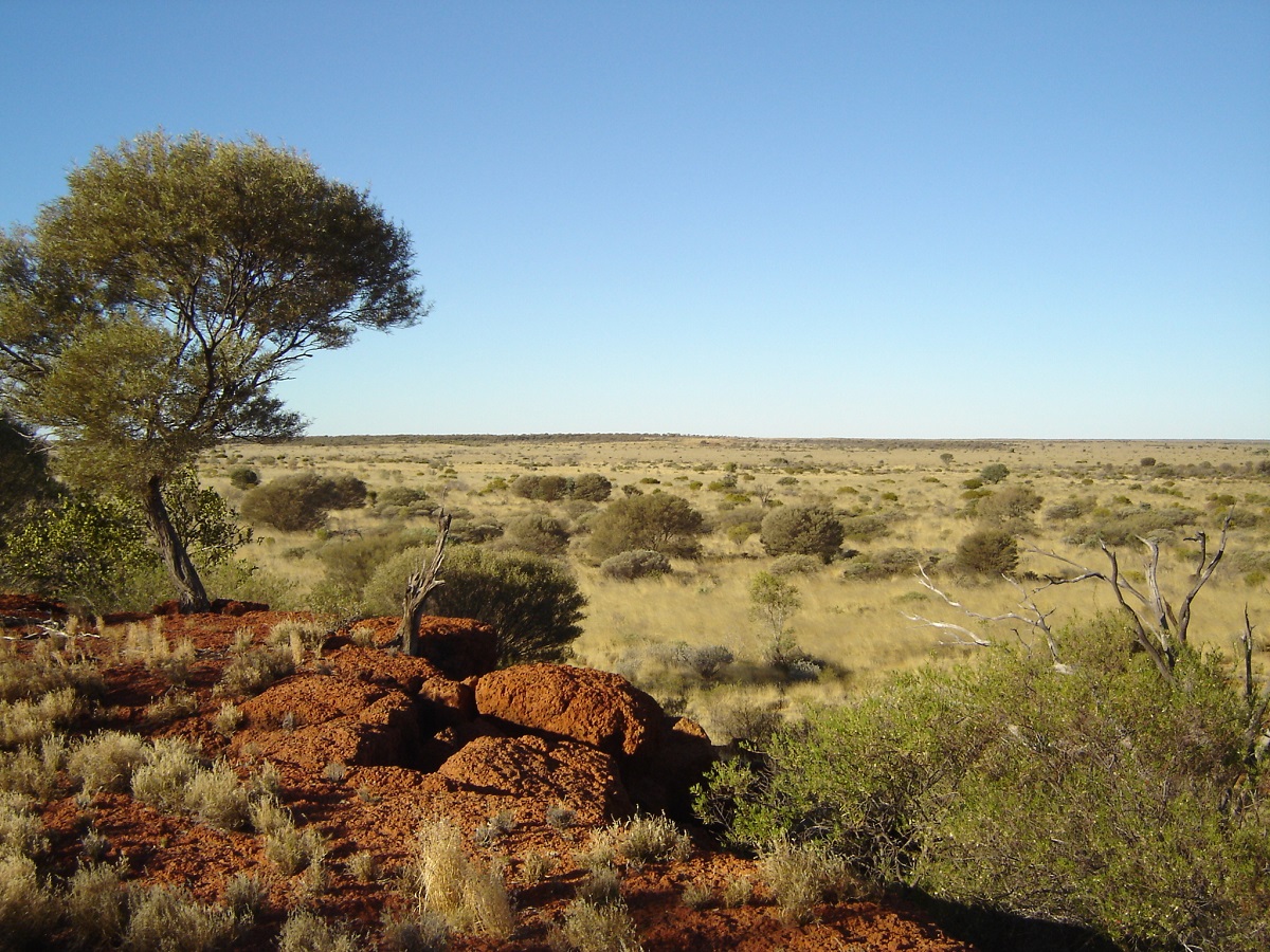
The countryside has some low hills and the scrub is mainly Mulga, Spinifex(what else!) other grasses and Grevillea and although very little rain had fallen since January the colours of the Gibson Desert were phenomenal.
We met a few cheeky camels along the way, and they persisted in running in front of the vehicles at 15kmh. When I had had enough of this event I increased the driving speed and got up alongside one and then they scattered off into the Spinifex.
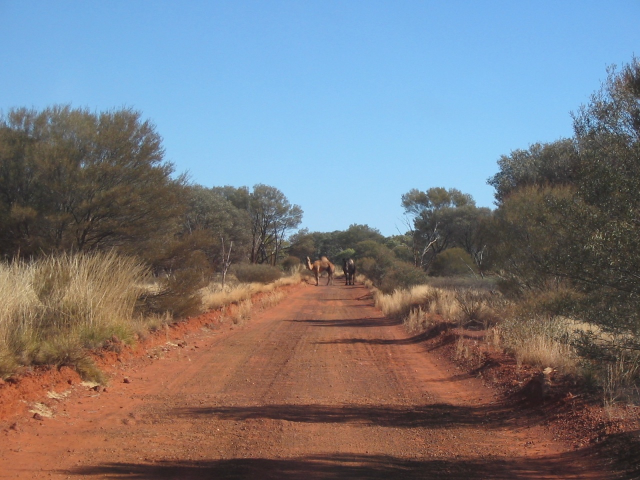
Camels on the track
Stopping for lunch on a rocky rise I found a jerrycan with MOWER written on and it had nothing wrong with it and now adorns the mower shed at my place. some of the track was overgrown with Mulga saplings and it seemed that little traffic had been this way for some time
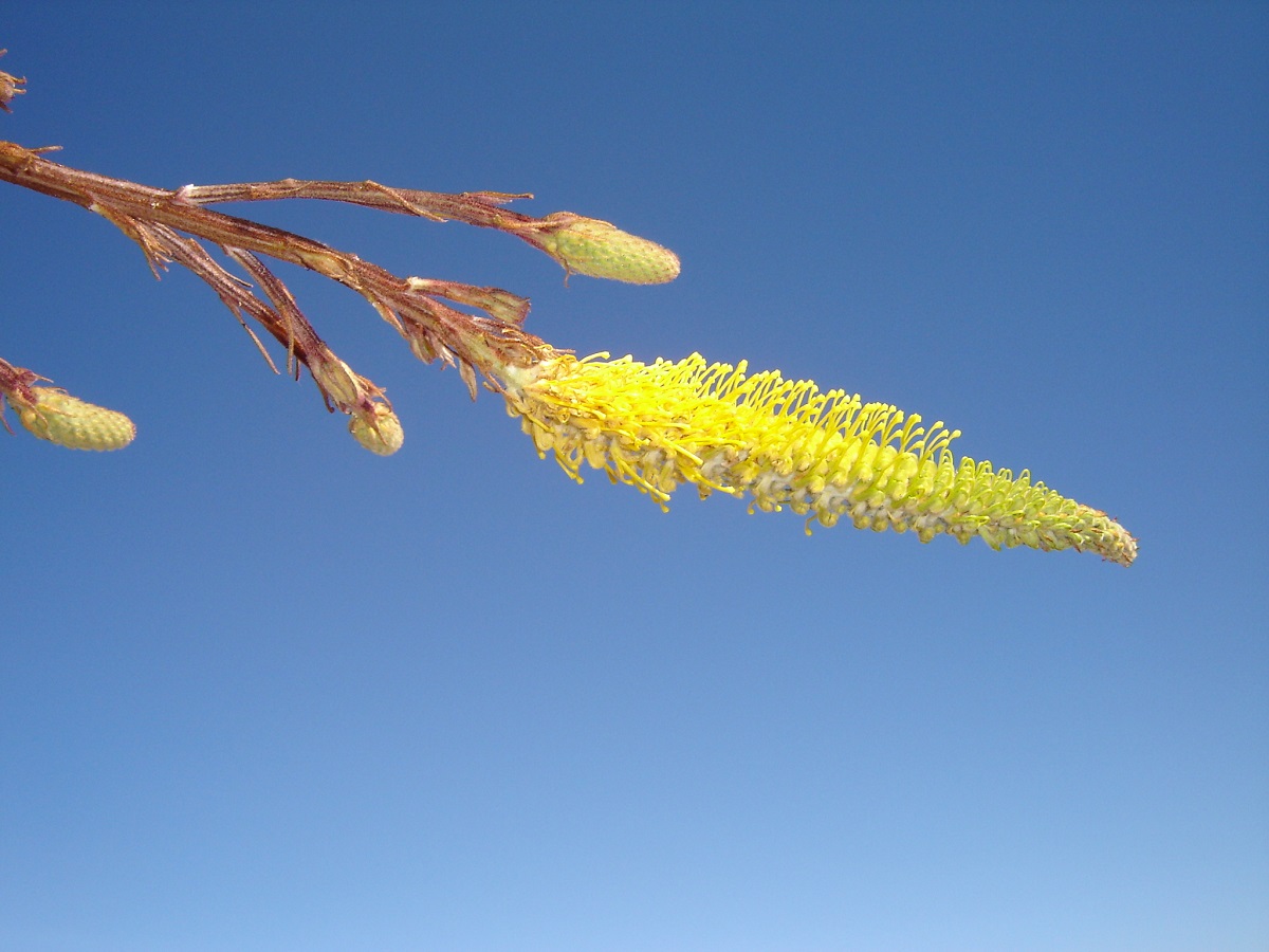
Honey Grevillea
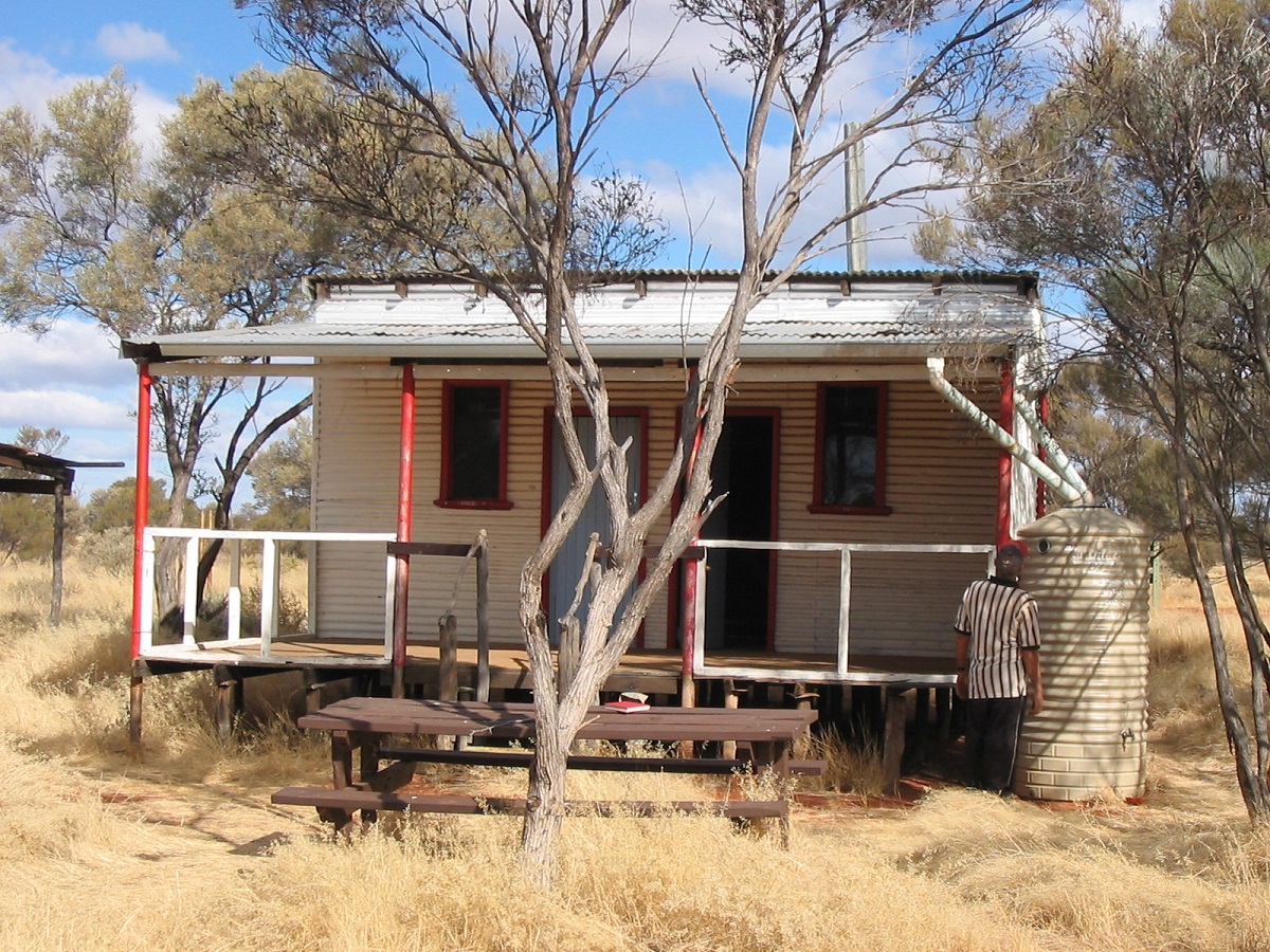
At the Gun Barrel Highway we stopped for a break and the road looked like it had been graded recently. Mungilli Outstation lies in ruin after another failed attempt to house bush dwellers in this remote part of the country. Sooner or later they up and leave it all behind. Others come after them and pilfer what they can carry away.
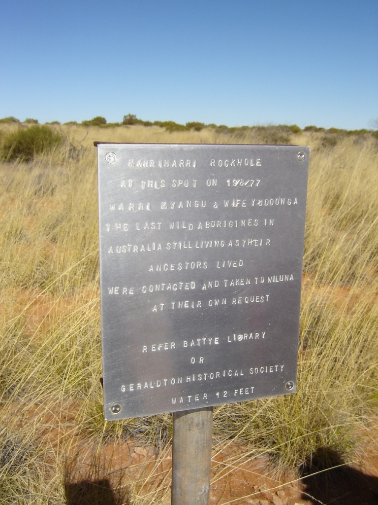
There are a few washouts along the Eagle Highway but nothing too extreme. In some places 5th gear was possible at 80kmh only to be brought back to reality when a 5kmh washout appeared. We met for the second time an old bloke in a Cruiser, travelling on his own seemingly to nowhere. We camped at Eagle Hussar Airfield for one night, and then pushed on to the Warri and Yutanga site at the Karrinarri Claypan. Warri and Yutanga were the some of the last nomadic aborigines to come out of the desert and settle in civilisation(Wiluna). This happened in 1977. This was at their own request. Later a lean-to was built and a bore was put in close to the Karrinarri Claypan but it soon too was abandoned. I managed to get some water out of the tank to replenish our dwindling stocks. The windmill is no longer working and the water in the tank was rainwater.
Karrinarri Claypan
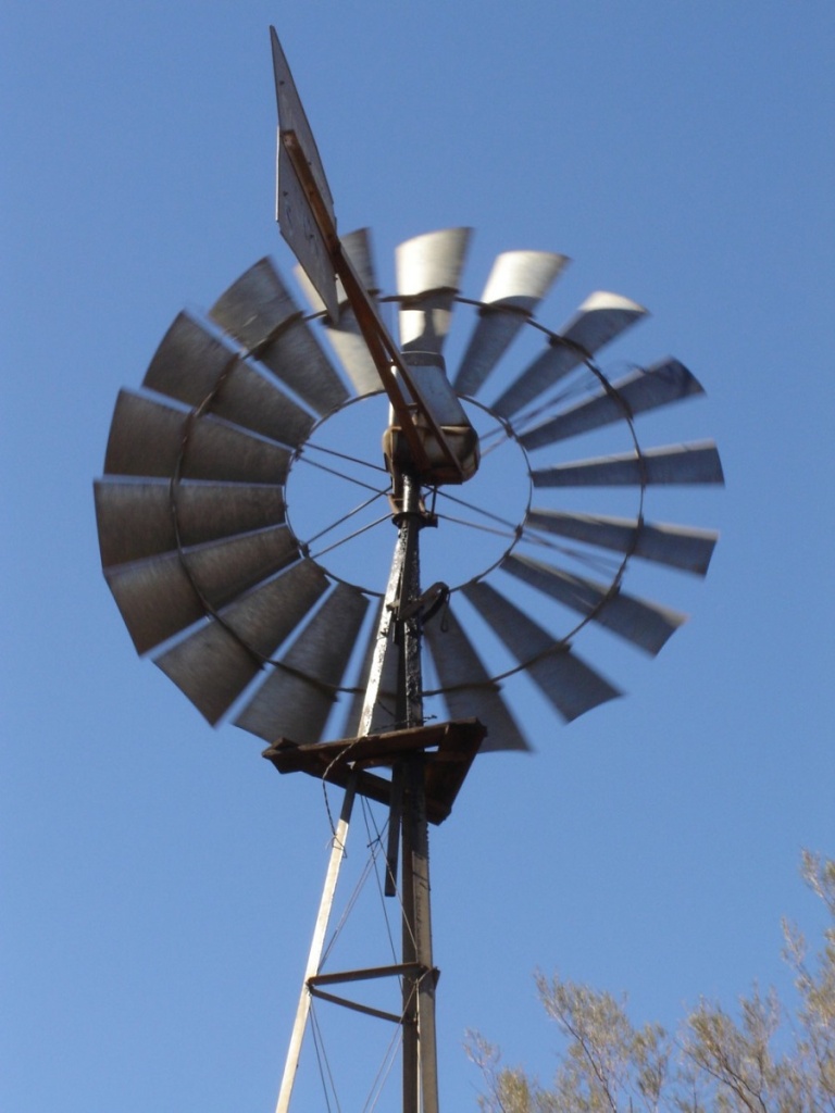
Warri windmill
We managed to get 40litres of water from it. .
Karrinarri Rockhole
Stashed away in a bottle of notes and business cards at Karrinarri Rockhole, we found a note that friends had passed by with Murchison Safaris only a few weeks prior to our visit. Our journey across the Spinifex at first followed a track across the claypan but eventually I lost it and then went across country looking for Murchison Safaris wheel tracks. We aired the tyres down and covered about 15km until we stumbled over the tracks. They in turn led us to what is known as The Breakaways, a rocky outcrop, where we camped for the night.
The Breakaways

Looking east from Mt Madley
I refuelled and worked out that consumption had been better than 6km/l. Then I had to plug a tyre which had a miniscule hole in it. Everyone helped. It was a much warmer night.
The next morning the left hand trailer tyre was flat and needed a plug. We got out of camp at 8.45am and followed some tracks to Garan Waterhole which we could not locate. Then on to Kuta Kuta Well which also was elusive. Being at the beginning of a drought cycle most waterholes and soaks had dried up. We then found our way to Mt Madley, a low rise with some rocky outcrops, where we had lunch. In ta cairn at the top of the mount here was a plastic bag with some names in it from the Geraldton 4×4 Club who had visited Mt Madley a week before us. From this place the visible tracks petered out and although my research had shown that there was a track or at least, recent tracks, we did not find any. I pointed the Nissan to the West North West and we struck out over the Spinifex.
Driving the Spinifex
The going was rough mostly in low range second and third gear with lots of turpentine about. The mapping kept on playing up with the laptop shutting itself down. We were heading in the general direction of Birrell Rockhole. Twice I had to back down a dune as I miscalculated the force needed to cross over. I came across some other wheel tracks but they too turned around and headed east again. At 3pm I found a relatively flat area with only small Spinifex clumps and after clearing away some of the foliage, we made camp. There was enough wood for a fire. The driving is extremely hard and stressful but we still have two days to go to the Constance Headland. The trucks are running well and today we have had no punctures, which in itself is quite remarkable. The edge of the Gibson Desert is lush with foliage even though there has been little rain. Spinifex is seeding, grevilleas are in flower while lots of low shrubs and Coolibah trees adorn the dunes and swales. Today was a lot warmer and we even had the air conditioning on an one stage. Jeddah got bored and started biting at trees through the open rear window as we passed them.
We were up at 5.45am the next day. Sunrise at 6.30 saw us preparing breakfast after having to collect firewood again as all the wood had been burned during the night. A flat tyre on the trailer this morning. This time it was a new stake. Jude found old wheel tracks which ran right through the camp. We broke camp and made heavy weather over the Spinifex and turpentine stumps and after about 50km came across some recent wheel tracks. This led us along the dune corridor past a soak which would have had water in it if it had rained. We crossed a dune and found a herd of 9 camels. Eventually we closed in on Birrell Rock Hole and came upon a well travelled bush track. We then followed this track back for a while to see where it went before heading for the rock hole. Later we visited Yowyungoo Gorge and saw some very nice rock paintings. We took another bush track out of there after some tricky reversing and breaking a trailer light in the process. We found a likely camp site at 3pm and settled down for the night. I repaired a stainless saucepan.
Negotiating a dry creek
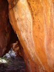
Rock Art of the Dreamtime, Calvert Ranges
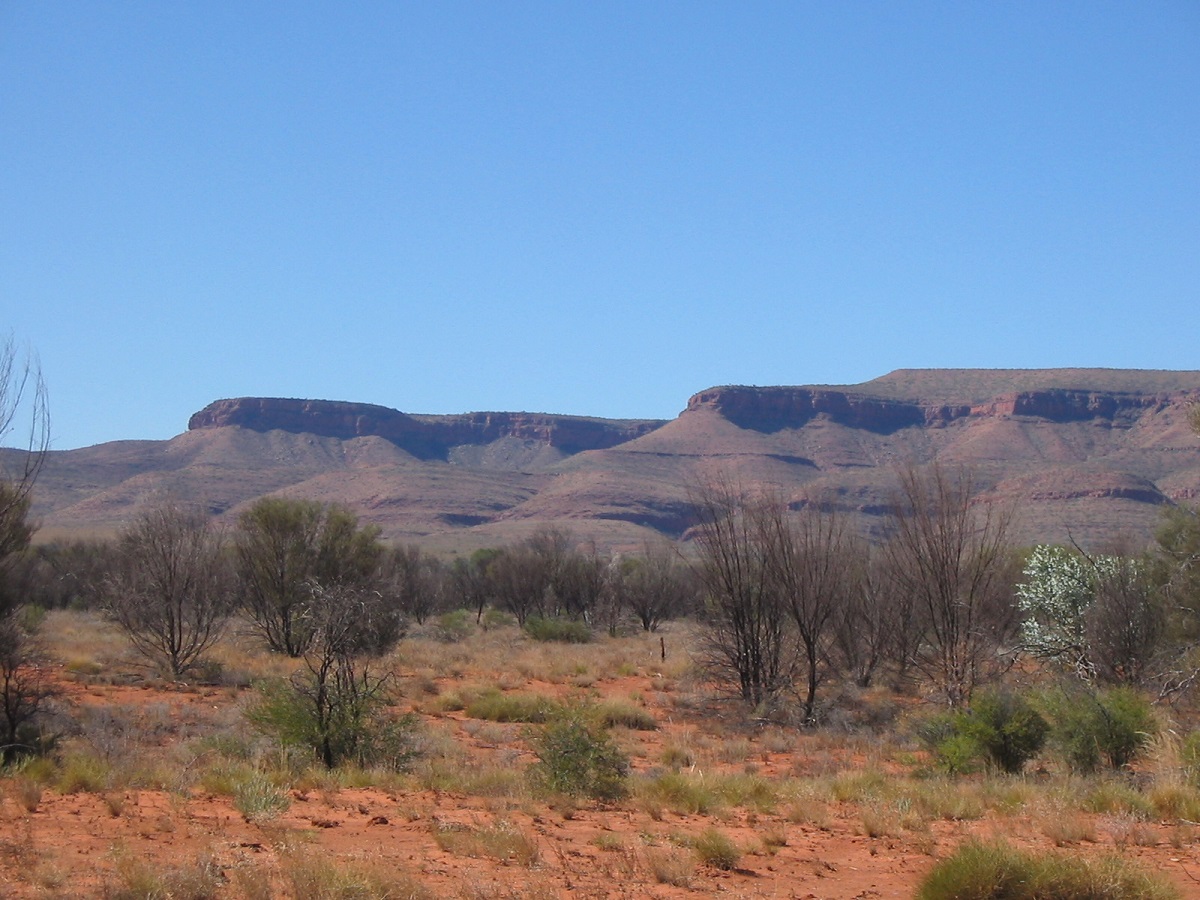
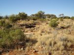
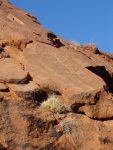
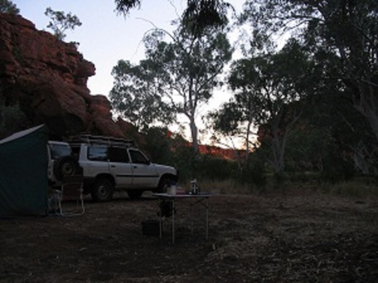
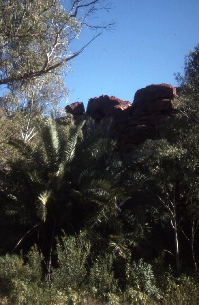
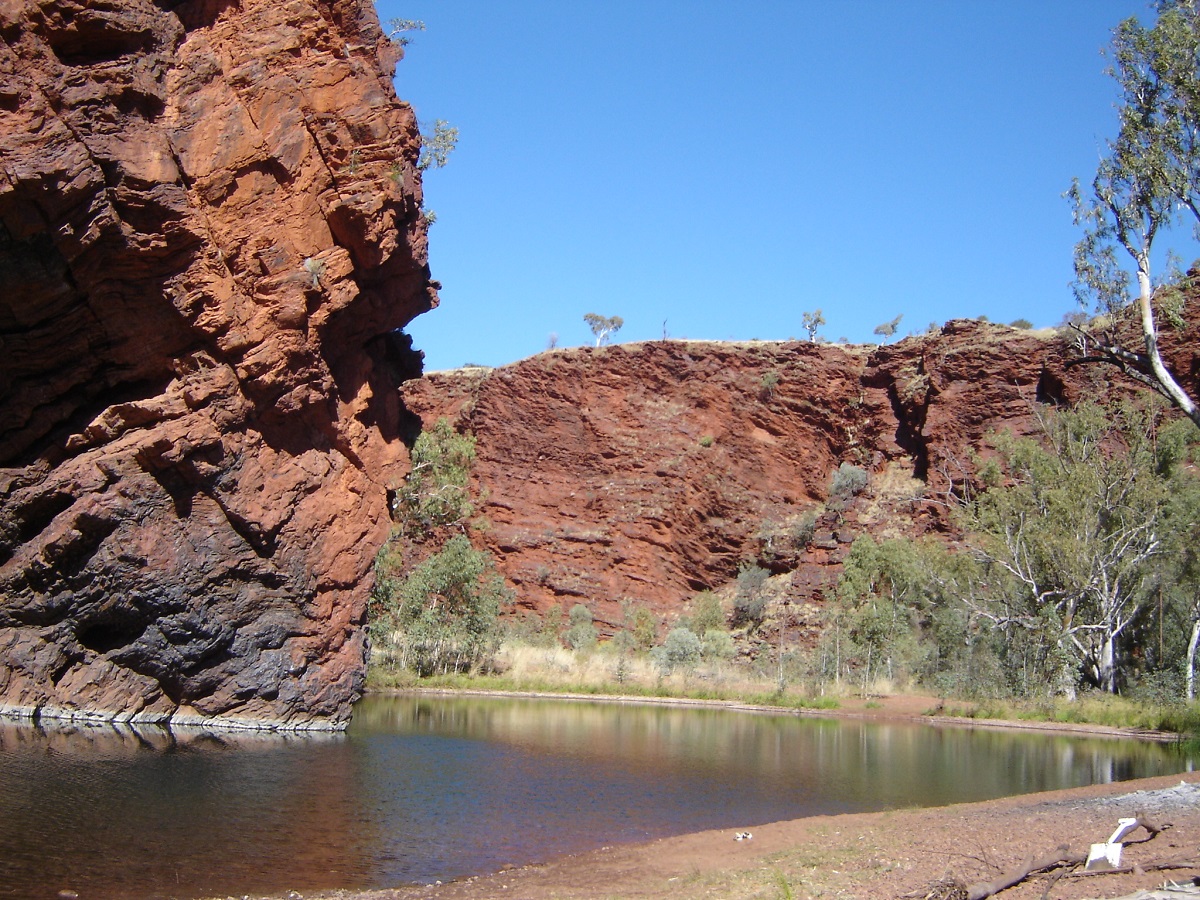
We spent 5 days in and around the Calvert Ranges on our trek through the western deserts. The Calvert Ranges are situated about 40km east of the Canning Stock Route between Well 16 and Well 17 (Killigurra Gorge). I had read reports of the richness of the rock art of the area and that moves were afoot to possibly restrict visitation in the near future and so decided to go there this year.
Our camp
The range is basically a smallish outcrop of tumbled ironstone on the north side, a small water-bearing plateau and deep gorges on the south east side. There is a general camping area marked on the Hema Maps and which can be a tad dusty but we managed to follow up the gorge from there and camp alongside a small water hole. There is a constant dribble of water through two water holes in the gorge as well as two small waterfalls. The gorge was lush with grasses and had drinkable water about 100 metres from camp. At the top end of this gorge there was, what appeared to be a stagnant pool and around this pool a number of white gums had grown. As they all fought for space in this cramped area, their branches have grown out and they rub together when even gentlest breeze blows. The result is a constant creaking and groaning of the limbs, like as if they were complaining about their lot.
Creaking gums of Ngundrayo
Ngundrayo Waterhole
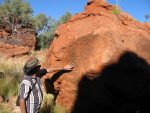
I was lucky to meet up with another bloke who was interested in the various forms of rock art and he gave me several pointers of where to search for paintings, etchings and petroglyphs.
Russell Headland of the Calvert Ranges
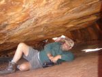
There are basically three major art sites which have tracks in to them and also some other sites further to the west through the Constance Headland hills and beyond. We visited as much as we could in our stay there and took no less than 700 photos of the various forms of art. There was much rock hopping and we struggled through the rocks and foliage to get to some of the sites, not being the most agile of people and using our walking sticks for support. We were pretty tired at the end of each day and fell into bed quite early after dark.
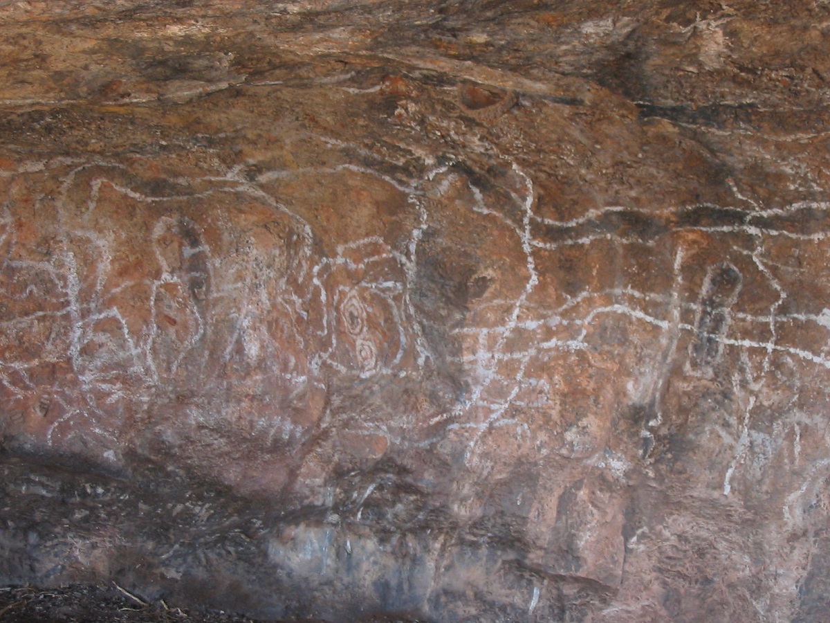
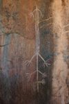
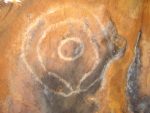
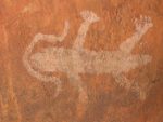
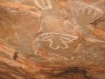
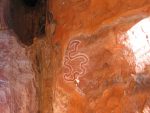
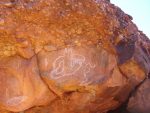
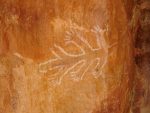
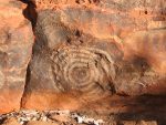
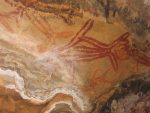
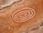
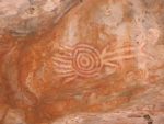
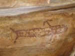
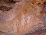
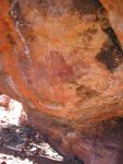
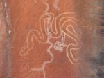
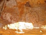
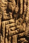
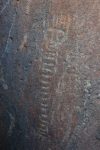
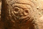
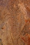
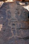
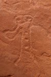
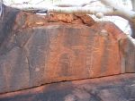
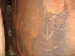
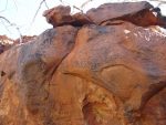
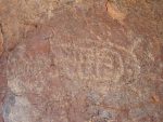
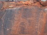
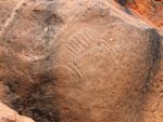
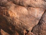
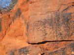
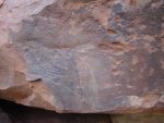
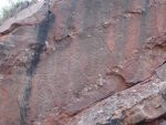
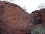
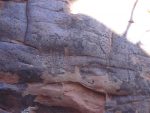
What we saw was basically three forms of rock art. That of paintings in white, yellow and red ochre, depicting all kinds of forms and squiggles, which are open to interpretation. Then there were the etchings or peckings, which depicted Emu feet, Emu eggs, Snakes, Emus, Kangaroos and Turtles. Then we saw some amazing petroglyphs (rock carvings), deeply grooved into the stone and undoubtedly of a great age. The style was far superior to that of the etchings. I was fascinated by a very good petroglyphs of a Tasmanian Tiger, a family of beings, a face (not unlike a painted Maori face) and a body wrapped in cloth ready for burial. There was also a magnificent hand carving in which my hand fitted quite well. I have seen many, painted hand stencils, but never anything like this.
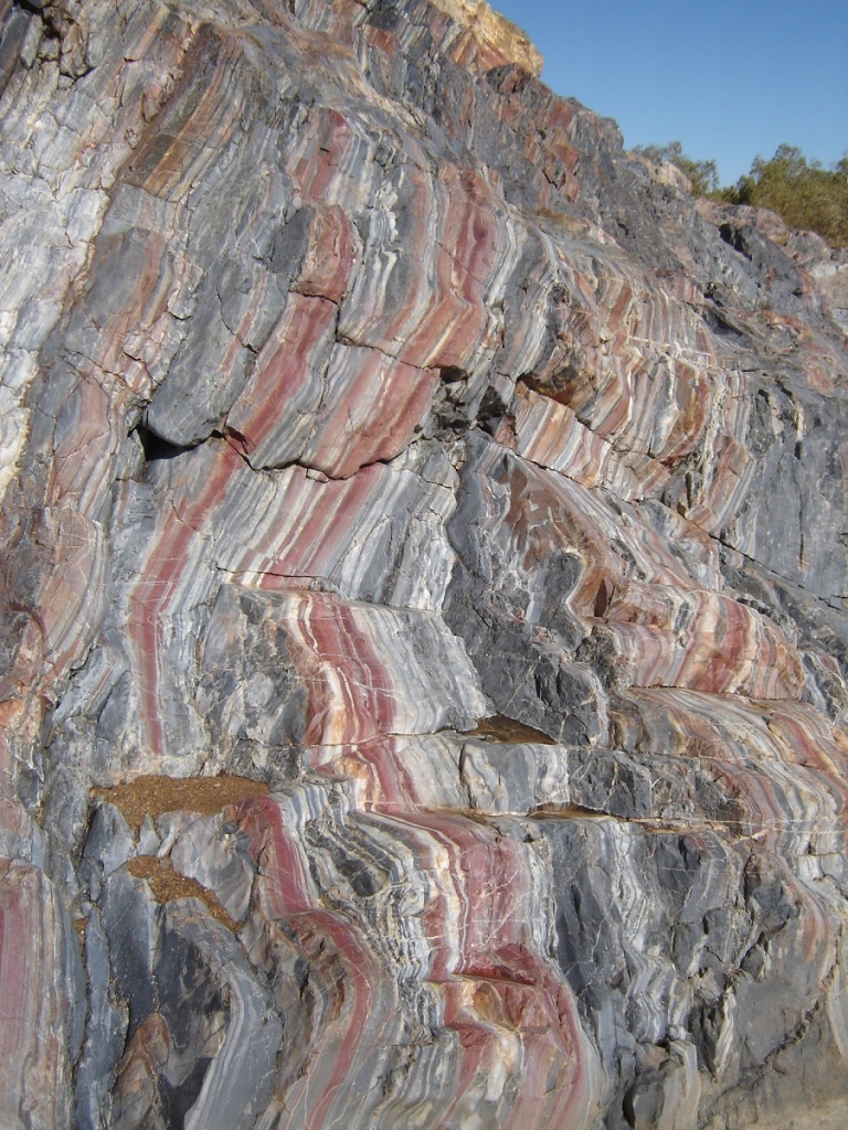
Having researched the ‘Rock Art’ of Petroglyphs, for the wont of a word, and especially Panaramitee Style Art, I see that the basic designs commence in the northeast of South Australia in what is known as the Olary District and western New South Wales at Sturts Meadows. More intricate styles occur in Central Australia and the Cleland Hills and north near the Roper River in the Top End. The designs in the Calvert Ranges I find the most definitive and exciting as great care has been taken to to depict an advanced form of style. We as westerners see the creative designs as art but they are more likely to be messages depicting sacred ceremonies or totemic beliefs and were done a a matter of course to relate a story to others. Further west on the Burrup Peninsula the designs are mire akin to those of Central Australia. This is my unqualified opinion.
I have done a bit of reading up of opinions by archaeologists such as Dr. Josephine Flood, and others, and from what I can ascertain no one really knows the age of these various forms of art and even tried and tested dating mechanisms such as Radio Carbon, Thermoluminescence or Optically Stimulated Luminescence dating cannot be sure of definitive answers. Some are as bold as to say 40,000 to 50,000 years but this leaves many questions to the inquisitive mind. Archaeologist Mike Smith, in his definitive work ‘Archaeology of Australia’s Deserts(2013), seems to be of the opinion that pictographs (ochre rock paintings) only date back as far as 8000 years. Petroglyphs are dated up to 50,000 years.
This is only a small sample gallery of rock art of the Calvert Ranges that we experienced.
Photographs by Willem Kempen, Judith Kempen and Mike Willis
Pictographs


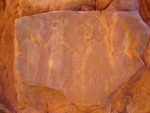
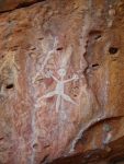
Petroglyphs
A short stint on the CSR
At the junction of the Calvert Ranges Track and the CSR we met up with some travellers who claimed to be grand nephews of Alfred Canning, the man who was given the job of creating the stock route. We had a chat and moved on.
Revisiting Killigurra Gorge was magic as we were able to photograph some of the rock paintings which had underexposed the last time we were there in 1994. The campsite has also enlarged so that two vehicles instead of one could camp there. We spent the night there in the quiet gorge and the stillness was only to be interrupted by an overhead jet to nowhere at 2.30am!!
Killigurra Gorge sunset
Durba Gorge
Durba Springs was showing off its green lushness as usual. There was a lot more water there since the last visit and only 7 vehicles camped. Further north we decided to have a look at Diebel Springs and followed the track in for the 21km. I had to fire up my mapping to find the right track into the spring. On the Hema map it denotes that there is a campsite but all we found was a turning circle on the top of a rocky knoll and Spinifex everywhere else and definitely nowhere to camp. The drive in and out was quite scenic though. We decided against walking in search of the springs as health issues dictated otherwise.
Diebel Springs in there somewhere
We made for Lake Disappointment and arrived at a small headland in the late afternoon. It was Full Moon that evening (as it was when we last visited in 1994) and the colours were just right for photography. We all went for a long walk out onto the whiteness.
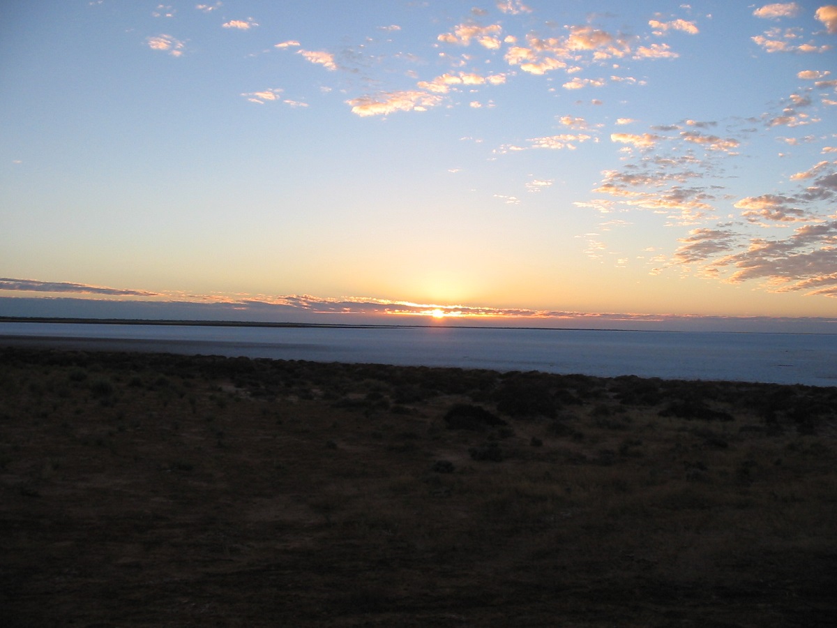
Sunrise over Lake Disappointment
The next day saw us drive past Wells 20 and 21 along a stretch of severe corrugations. Close to Georgia Bore we came upon the burnt out Prado ( I have a very nice piece of molten Prado sitting on my desk in front of me!) and at the same time as a tag a long mob from Alice Springs led by a well-known Territory identity. One bloke was towing a caravan type camper with a Hilux. It had lots of gaffa tape holding it together. I wonder how they got on.
Freaky cold weather, lots of lightning, rolling thunder and a shower of rain got us all reasonably wet that night at Georgia Bore and we made an early start the following morning, packing up in the mud. Heading west along the Talawana Track, and its usual mega-corrugations we met up with another mob that had been turned back by tales of washed out roads in Ruddall River National Park. They also said that one of their crew had pulled out of the trip and was camped at the windmill at the Cotton Creek turnoff. Well!!!, strike me down! We met up with this fella driving a Jeep. He had 8 full jerry cans on the roof rack, tents, 2 spare wheels and a small drum of something. Totally overloaded by a mile. Some people have no idea.
We reinflated our tyres in the sleety rain and pushed on to Newman via the Talawana and Billinooka Tracks and along the road into Jigalong Community.
The Kidson Track 2006
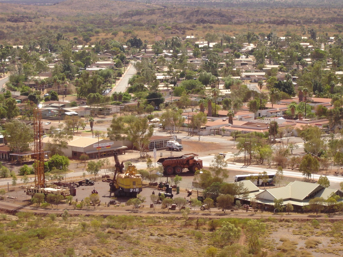
Newman
Newman, Nullagine, Marble Bar, Carawine Gorge
On our departure day out of Newman we went to the Visitors Centre and I enquired about access and camping at Kalgan Pool. Yep, no worries BUT you need a permit. A what?? Yep, a permit from BHP Billiton to cross their railway line. Cheeez!. And it had mobs of access conditions written in as well. The drive in was very scenic as the road wound its way deeper into the hilly country. Unfortunately it was the start of WA School Holidays and the place was packed out. The whole area was a pebbly beach and not really good for camping. But we had lunch there.
Kalgan Pool
That was after I had gone back to give my mate the trolley jack after yet another puncture! On the way back my mate decided to take a short-cut track back to the main road and got the diff hung up on a rock. After lots of advice and laughing, he managed to extricate the GU from its predicament.
Back on the road to Nullagine and I saw a Landcruiser Ute approaching at speed. I slowed down to walking pace and moved on to the left hand windrow but this truck still came barrelling down on us, I flashed my lights but there was no recognition. A rock the size of my fist hit our windscreen and shattered the left hand side of it. Thank goodness for laminated glass. The cook got a helluva fright. I cursed the bastard over the airwaves. It was neither a tourist nor a mining vehicle. It looked more like a station vehicle with as young fella behind the wheel. Anyway, lots of silicon later and a cuppa to steady our anger we were once again proceeding north.

Busted windscreen
We camped at a way side stop near Roy Hill and it was quiet except for the odd ore truck billowing dust as they passed. As we moved further north more of the creeks had water in them and some were running. Nullagine was an interesting little town with many rich gold mining prospects in the surrounding area. The lady at the roadhouse talked and talked and gave us more information than we needed. We did a quick drive around town and up on to the lookout for a view. Then it was on to Marble Bar and a sleepless night in the caravan park. It was full moon and the bloody Butcherbird somehow didn’t know that. So a 2am he started his melodious repetitive calling and a mate answered down the road. They carried on like that till 7am and then flew off to annoy other beings somewhere else. At the fabled hottest place in Australia it was 1 degree at 7am!!! No hot water in the shower either (run out of gas) and for a powered site at $25 a night it is not good enough. I hate caravan parks!
We enjoyed the scenery around Marble Bar and drove out to the famous Jasper rocks, visited the mine and followed most tracks in close proximity to the place. We have marked this one down for another visit in the future, maybe with a gold detector under the arm.
Jasper at Marble Bar
We followed the Rippon Hills Road to the east, which sealed all the way to where it turns off to Carawine Gorge, and then drove a well-formed track in until the river. Then it was into 4×4 mode to get down to the waters edge across the pebbled sand riverbank. We found a good campsite, winched a few dead logs on to the fire and sat around doing basically nothing for four days. Shortly after we arrived Jeddah, our dog, flushed an Echidna out from under a bush. Now the dog has been trained not harass little animals and was just following the Echidna out of curiosity. We took many photos of the little fella and then left him/her to wander off.
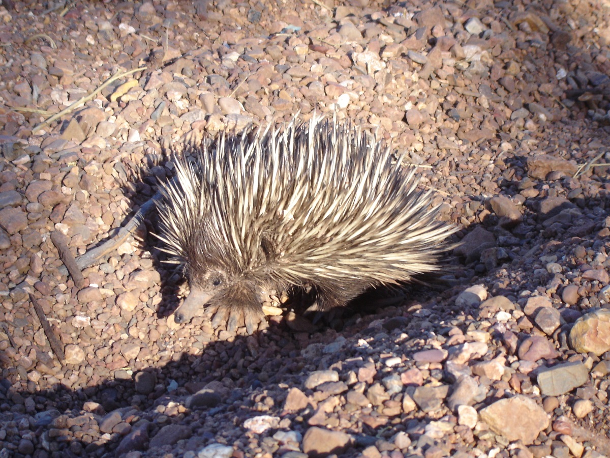
Echidna
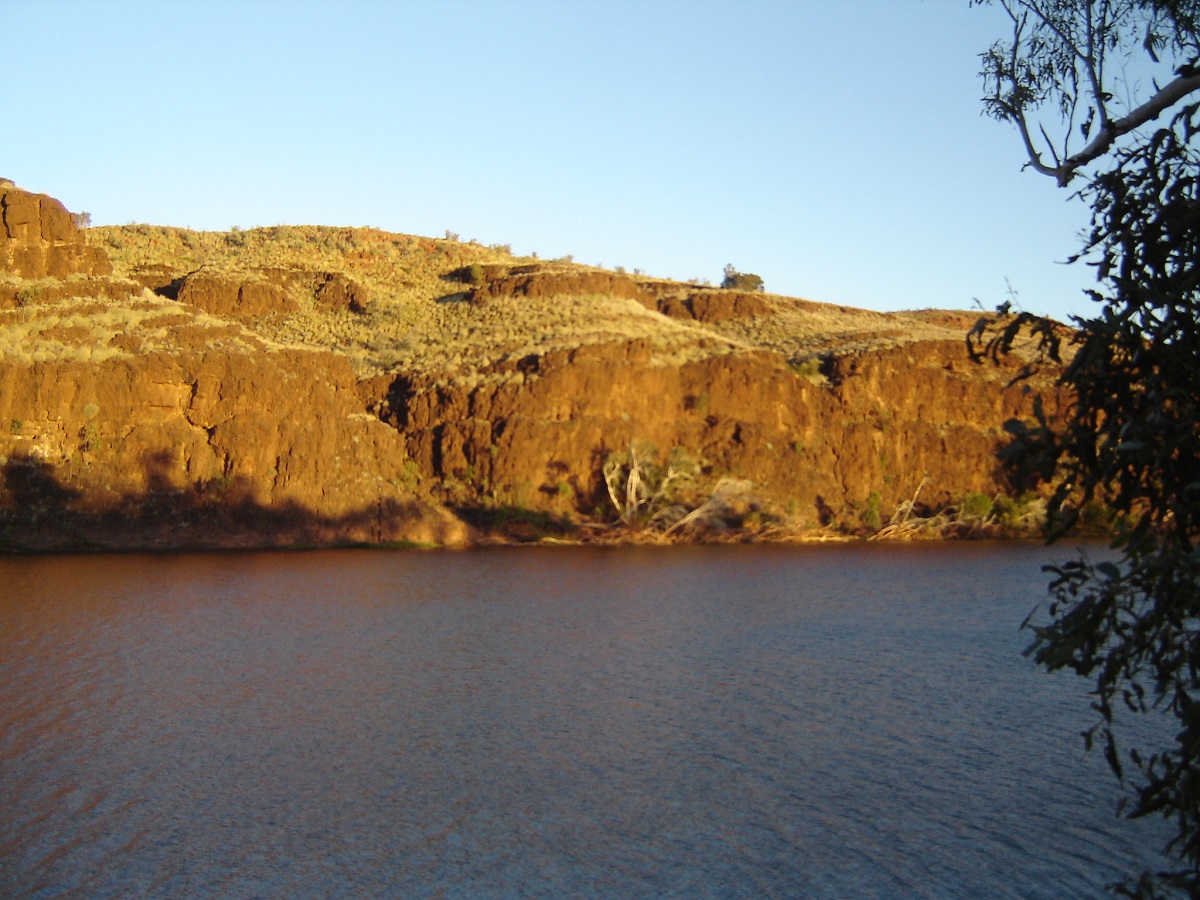
Carawine Gorge
Being so close to water I got it in to my head to wash the desert dust off the truck. I should have saved myself the trouble, as it was twice as dirty by the time we got home. Some of the plugged tyres were leaking air and required more plugs. My mate discovered that his main battery was on the way out and we stuffed around with wires, multi meters and argued the point about batteries. He had to be jumpstarted a couple of times. A few other campers came in and went out again. All in all we had a relaxed, peaceful time there, with the cooks excelling themselves on the good coal we managed to make, burning some seasoned logs. The colours of the gorge are fantastic and the cliffs change as the sun progresses during the day. The fish were jumping but we had no gear for fishing and so we left them to the Fish-eagle who came in for daily visits.

Fire coals at Carawine Gorge
Telfer Road, Punmu Community, Kidson Track
Because of the battery problem we decided that we would come back in the future to visit Eel Pool and other sites around this area. We made it to the Telfer Road quite early and it was a smooth run all the way to the Punmu Turn-off. It is a good gravel road, with a long stretch of bitumen in between. Once we were on the road to Punmu, we met 8 vehicles in quick succession and never saw another one for days thereafter. We chatted to some youngsters in a Toyota BJ 40 with an overhead roof rack that looked as if it had 300 kilos of stuff on it. They also had a swag perched on the bonnet in front of the passenger. We also stopped to chat with some South Aussies and they told us that only the Nurse was left at Punmu as the whole community had gone to a funeral at Jigalong. We took this advice on board and proceeded. This wasn’t good news. I had telephoned Punmu Community some time before, to see if we could buy some fuel off them, as I had planned some excursions off the Kidson Track. I had left a message on the answering service. By the time we got to the community even the Nurse had left. We were met by about 20 camp dogs, which, after seeing our mutt hang its head out of the window, pursued us in a barking frenzy. No human life was seen in our 5-minute scout around the town and we were seen off out of the community en masse by the dogs for about 1 kilometre. Later in the afternoon and close to the Kunawarritji turn off, I found a quarry dug into a sand dune by the side of the road and we made camp. No one passed by during our stay.
The following morning we found a Hilux Ute stranded in the middle of the track. By all accounts it had been there a while and various parts had been removed for use elsewhere. We made an excursion on the Kunawarritji Track to a rocky knoll for a look see and then to windmill nearby to replenish our water containers. This bore had been rejuvenated in late 2005 and the water was quite sweet.

Near the junction
Topping up water at bore
The Kidson Track/WAPET Road is a reasonable track with capped dune crossings and not that many corrugations. We were able to sit on 80kmh in 5th gear in places. Unfortunately that could come to an end very quickly when a washout appeared out of nowhere. I was interested to see that some of the dune crossings had been fenced. This must have been to contain the drift of sand on to the capped tracks. WAPET stands for Western Australia Petroleum but I am not sure where the Kidson name originated. The countryside is covered mainly by Spinifex with thousands of acres of Holly Grevillea trees in flower. This grevillea has a spiky leaf as our dog found out with a yelp. She tends to hang out of the window in typical Blue Heeler fashion, biting at passing foliage. At the end of the day there is a handful or more of shrubbery or tree foliage in the back of the truck.
The flora of these desert regions always hold a fascination for me as in such potentially dry areasn they eke out an existence
Our first camp was at Razor Blade Bore. This bore has been reconstructed in May this year and is pumping good water. The tank has been painted a bright orange colour and the names of the Queensland based windmill mechanics displayed on the wind vane of the mill. There was some indication of recent campers with a bit of rubbish left behind. The burnt out fire still had warm coals. So they were probably a day ahead of us. It was time to do some washing, laze around in the sun and cook a roast in the evening. The dingoes howled early the next morning and our pup was on high alert with ears pricked up and whimpering at the mystery. This was the very first time had heard dingoes howl on the entire trip though we saw many dog tracks along the way. A nice surprise in the early morning was to spot a Black Honeyeater in the trees above. A Brown Goshawk kept harassing a Crow and some resident Galahs.
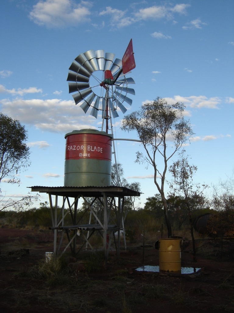
Razor Blade Bore
The track surface varied to the west going from a state of being almost totally overgrown to open plains once again. Then there were sandy stretches, which required 4×4 mode again, and some washouts, which needed careful negotiating.

Washouts
Sandy track
Overgrown Kidson Track
I saw some trees to the right of the track and decided that it was a good place for lunch. Another fresh track led in there as well and it was a campsite for someone. As I walked around the back of my truck I tripped over a brand new shovel, which had been left behind. I gave this one to our travelling companions who brought a podgy shovel with them. They were happy.
Later in the day we visited the only rocky knoll along the way and went for a walk. I wanted to make camp in an open but stony area. The others insisted we push on and I reluctantly agreed. One has these gut feelings sometimes. We drove 80 kilometres before we found an open space in the Spinifex where we could camp. We had to go looking for wood and dragged some logs in with the 4x4s. After starting the fire a small Sand Goanna came out of one of the logs. I caught him after some wild grabbing as he headed back into the fire, and relocated him a distance away.
Little Sand Goanna
After that, things went wrong when the damper overheated and the tucker burnt. But we salvaged it all and drowned our sorrows with some Port. The following morning the ‘goanna’ log had only been partially burnt and I moved it on to the fire. Soon after a felt a prickly sensation on my leg and here the little Sand Goanna was climbing up my leg. We then removed the log from the fire, doused it with water and then relocated it to a place in a gully away from the camp and put the little goanna back in its hollow apologising for vandalising its home.
This day was uneventful and we stopped for morning smoko in a newly graded clearing. Not long after a Ute came from nowhere out of the bush. They were two young geologists working for a mining company and had been preparing the track in for the drilling rig. We shared a cuppa and chatted for about half an hour. Then they went south into the unknown and we continued on our trek to the west. We had lunch at the intersection with the Old Telegraph Track and later made camp at a Telstra Tower about 12km from the Great Northern Highway. A stiff breeze sprang up during the night and threatened to move the tent until I stabilised it. In the morning it subsided again. Our travelling companions took leave of us when we reached the highway the following morning. They were on their way home in the north via 80 Mile Beach and we were heading for Cape Keraudren.
The Kidson Track was something I had to do. There are some areas off it, which I would like to explore at a later date that is if I can afford the fuel to get there. The 508km from the Kunawarritji turnoff to the Great Northern Highway was reasonably interesting but I must say I am miffed as to why the region is named the Great Sandy Desert, as I did not see much sand at all. The Kidson Track still traverses Crown Land but areas to the north and south are now covered by Native Title claims and access is dubious to say the least
End of the Kidson
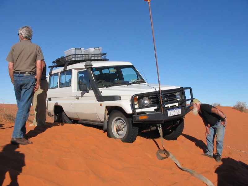
A Midsummer Bog 2007
31 January 2007………………
Phone rings at 4.15am….
“What the…..?”
“Yeaaaahrr……..”
“Mate I’m in the chit! We have two vehicles bogged to the west of Hawker”
“Yeaaahrrrr…..”…Half asleep
“Can you help?”
“Yeaaaaahrrrr……………”
‘Twas me neighbour down the road. He does contract cleaning of Electricity Transmission facilities in the state. To gain access to these facilities he needs to have an ET contracted qualified electrician to accompany him.
They go clean the place on the other side of the ranges near Lake Torrens. To save 140km return trip back to Port Augusta via Hawker and the next job, they decide to go straight down the old gravel road to Port Augusta.
Wrong move!!!!
Road is graded after rains. Yippeee……..but only up to some shearing sheds. No worries. They carry on. Neighbour mate drives a Toyota Commuter Bus 2wd weighing in at around 3.9ton. Electrician has a hired Mazda Bravo 4×4.
Creek is washed out big time but they make it through. Road in good condition for 1km and then deteriorates. Serious washouts. They pick their way around these obstacles. Then they find a ‘ponded’ stretch of road around 250metres in length. These two characters don’t walk through first to check, but drive straight in.
Both the vehicles go down at around 5pm. They stuff around till about 9pm and then give up. No EPIRB (was going to get one, but…..), no Mobile Phone service (wrong side of range), no Satellite phone…..CHITTT!!!!
They are stuck between the Southern Flinders Ranges and Lake Torrens. You might as well be on the moon. NO stations, NO nothing (except the lonely Leigh Creek railway line)…..But…. they can see the lights of Port Augusta….. Good!!!
They start walking. GPS in hand, phone, water bottles, torches. It’s a warm night. Sheep and cattle follow them out of curiosity.
12.10am and they get Mobile phone reception. Ring home. Ring Port Augusta Police on 000. Police not responsive. Ring SES. They say Tough!!! Ring CFS…Double tough!!! Ring Police again…..Triple tough!!! But Police do alert Breakdown service and bloke comes out in a 2wd recovery vehicle. He meets them after they have walked 20km.
“Chitt mate, nearly got bogged in the sand meself” he says. No way is he going anywhere near that wet stuff!
My phone rings. Mate and his chaperone are at Port Augusta in motel. I leave at 6am after throwing some recovery gear in GQ. Luckily I have a full tank of diesel. Missus’ throws in sandwiches, thermos of coffee and some fruit.
Meet them at around 8am. Then we drive to Quorn and call in on another mate and grab more Snatchem Straps, a Stretch Rope(new) and a Tirfor. The four of us hit the road and arrive at scene of the crime at 10am.
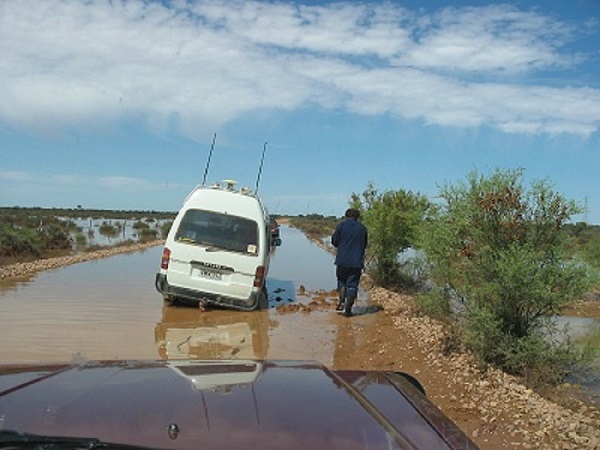
Bogged to the hubs
I edge as close as to Commuter bus, attach winch cable through snatch block and start winching. Move Commuter about 10 metres and Brawn winch slips out of gear and won’t work no more……. Faaark !!!!!!! Wrap cable around bulbar and attach Snatchem Strap to vehicles. On 6th hard snatch I get the bus on its way and we retrieve it. Good!!! But unbeknownst to me atb that stage I have broken a engine mount on the Nissan!!
Now for the Bravo. It’s a lot further into the slime. I edge forward and get to within snatch range. First, second, third snatch and GQ breaks the surface of the mud and bogs big time. And I only have my plurry Eldorado tyres on with a smoother tread pattern.(There wasn’t time to swap tyres around,eh?). Drop tyres pressures from 25 to 15 in the water, slush and mudddddd! What a mess!! Not going anywhere!
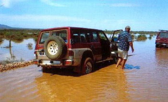
Now I am stuck
Out comes the trusty Tirfor. As much as I hate working with them they get one out of trouble at a critical time. Much sweat and we move the GQ whilst attached to the bogged Bravo. Get on to firmer ground and reverse out of trouble. Well not quite. Slip off edge of road into ooze. Slam into first high range and flatten it. I get out….Whew!!
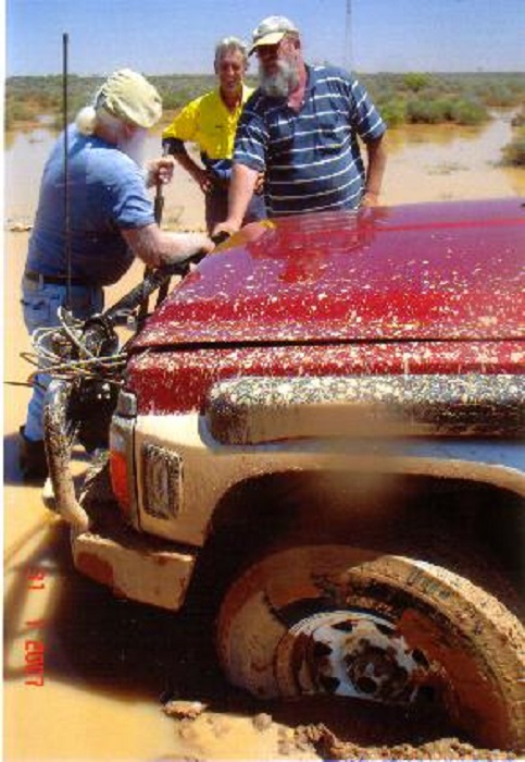
Muddy discussions
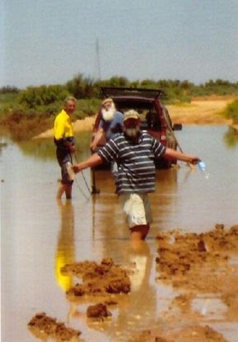
Look at me
On hard ground we attach 2 x Snatchem Straps, 1 x 11mm x 10m winch cable, 1 x Stretch Rope, 1 x Trifor and I x Tree trunk protector. Nothing is by the book. Bow shackles, U bolts and D shackles hold everything together. Bravo driver has no idea what to do but we yell instructions to him. As luck would have it kinetic energy saves the day and I get him moving and retrieve the vehicle.
By now the water we are standing in is hot! The mud is hot! The vehicles are hot!! One can feel the sun burning into one’s skin. Time to put muddy boots on again.
Its 2pm. We make for the creek for lunch. Both Bus and Bravo get stuck in the sand twice and I have to snatch them out.
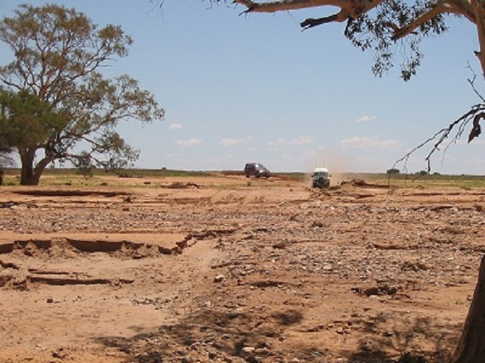
Washed out creekbed
We have lunch and then drive to Hawker, Quorn and home pumping up tyres along the way
Arrive home at 7.30pm. 610km driven. Out with the Karcher in the street, using rain water and blast the oodles of mud off. Home by 8.30pm.
Never a dull moment……………….
Outback Tracks 2007
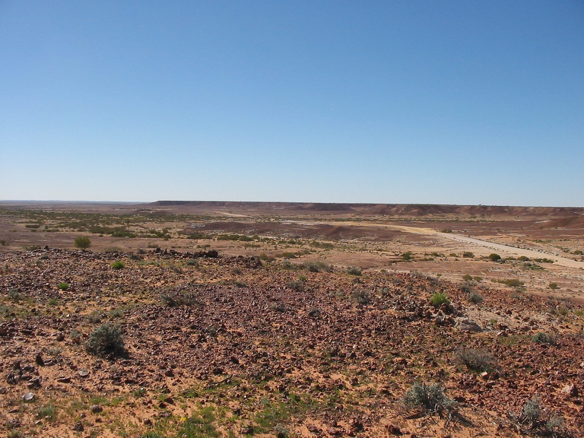
Birdsville Track through Mungerannie Gap
I had not planned a trip away in 2007 but as winter set in and the days became colder, my asthma took a turn for the worse and I decided that I should go and look for some warmer weather to the north. I had however, set the wheels in motion to organise a gathering of Internet 4×4 Friends at Warraweena Conservation Park in the Flinders Ranges, with the penultimate date as 7July 2007 (07/07/07) and so there was no escape until then. I had not been to Darwin since the late 90’s and decided that I should go there for one last trip and invited my mate, George, from Darwin, to fly south and then accompany me back to Darwin, promising to take the long way around along bush tracks we may not have been on before. We did just that.
Birdsville Track
We managed to get away from Warraweena by midday on 11 July and turned right on to the Birdsville Track at Marree in the late afternoon arriving at Claytons Bore a short while before sunset, to set up camp. This delightful place has modern conveniences, a hot bush shower and a hot spa, fed by very hot artesian waters from the great Central Australian aquifer. The owners of Clayton Station have built this Rest Camp, for the travelling public and they maintain it asking only that travellers look after the facility and give a donation towards its upkeep. We soaked away the southern cold out of our system in the hot waters of the spa.
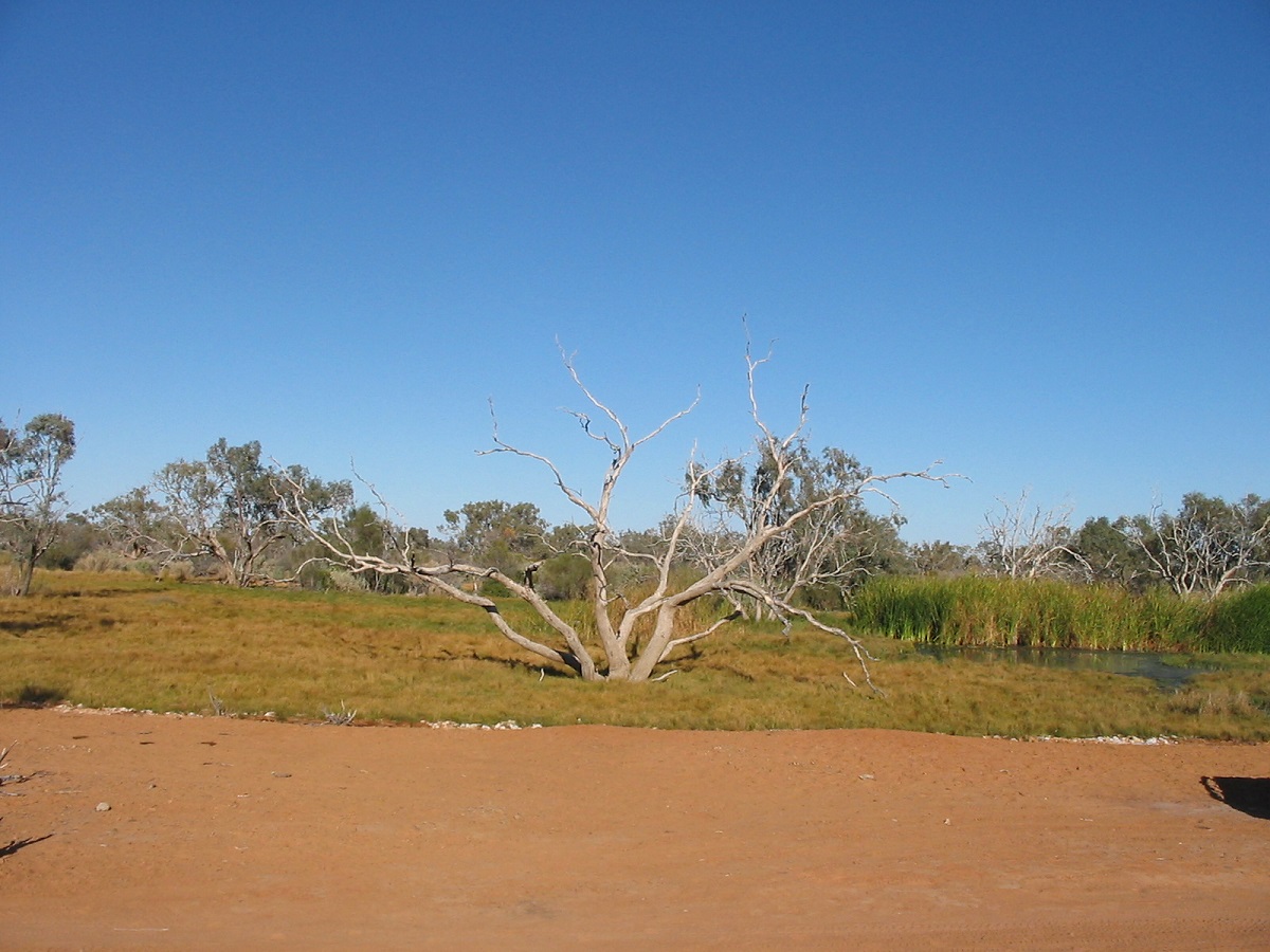
Clayton Wetlands
The first 50km of the Birdsville Track is being reconstructed to an all weather road by the Marree Shire Council and was in good condition. ‘Track’ is rather a loose meaning these days, carried over from a bygone era. The ‘Track’ is more like a big, wide, graded road and could be classed as an Outback Highway. We visited Clayton Wetlands in the morning, drove through the Tirari Desert and stopped at Mulka Ruins before topping up with diesel at Mungerannie Pub for our trek across the Simpson Desert to Alice Springs. We also had lunch there and a pet duck hassled us for tidbits of our food. Later in the day, driving through Sturt Stony Desert along the BVT, we helped some other travellers change their shredded tyre for a new one by supplying my trolley jack for the job at hand.
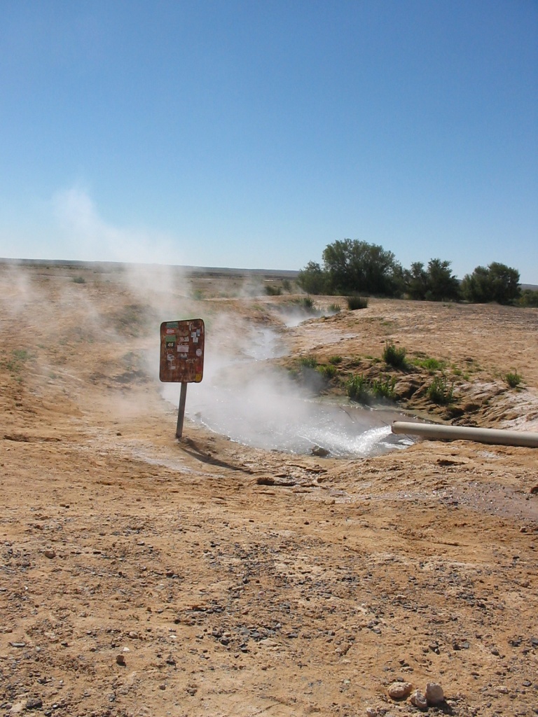
Artesian water on Birdsville Track

Warburton Crossing
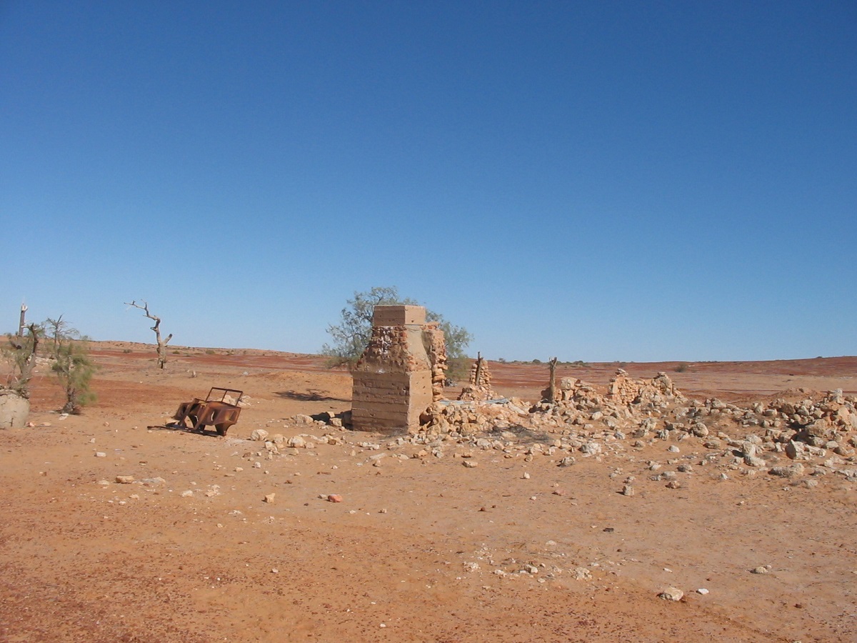
Mulka Ruins
This crossing lies 8km off the Birdsville Track and 113km north from Mungerannie. It is a flood-out for Goyder Lagoon into the Eyre Basin and Lake Eyre and waters moving south along the Diamantina River. It had been closed for a while early in the winter season due to flooding but had reopened a few weeks prior to our arrival. There was only a small puddle of water in the creek and we pushed on to the outskirts of the desert. The Warburton Track winds its way over the pastoral lease of Clifton Hills Station through some very flat and uninteresting country covered by spindly scrub. When small dunes start to appear the track also follows the fringe of numerous clay capped dry lakes. The Playa Lakes hold small amounts of water after rains and can be treacherous to drive on. Trees which have died a long time ago, are scattered along these lake fringes. We made camp to the leeward side of a dune with plenty of firewood around. A stiff breeze however, persisted until late in the evening.
Gibber mirage Tirari Desert
Where the Warburton Track and Rig Road meet, the K1 Line extends north-northwest to join up with the QAA line near Poeppel Corner. To the west along the Rig Road the traveller is met with a steep sand dune with an early season sand crest. This dune is the first challenge of the Rig Road and is more difficult to cross coming from the west. The K1 Line Track pretty much keeps to a straight line in a dune corridor. It is washed out in places but presented no problems other than being bumpy and corrugated in places and it was not necessary to use 4×4 mode until we had reached the turnoff point to Poeppel Corner. A sleepy Dingo in prime condition posed for photos along the way while Wedge-tail Eagles soared above looking for a feed.
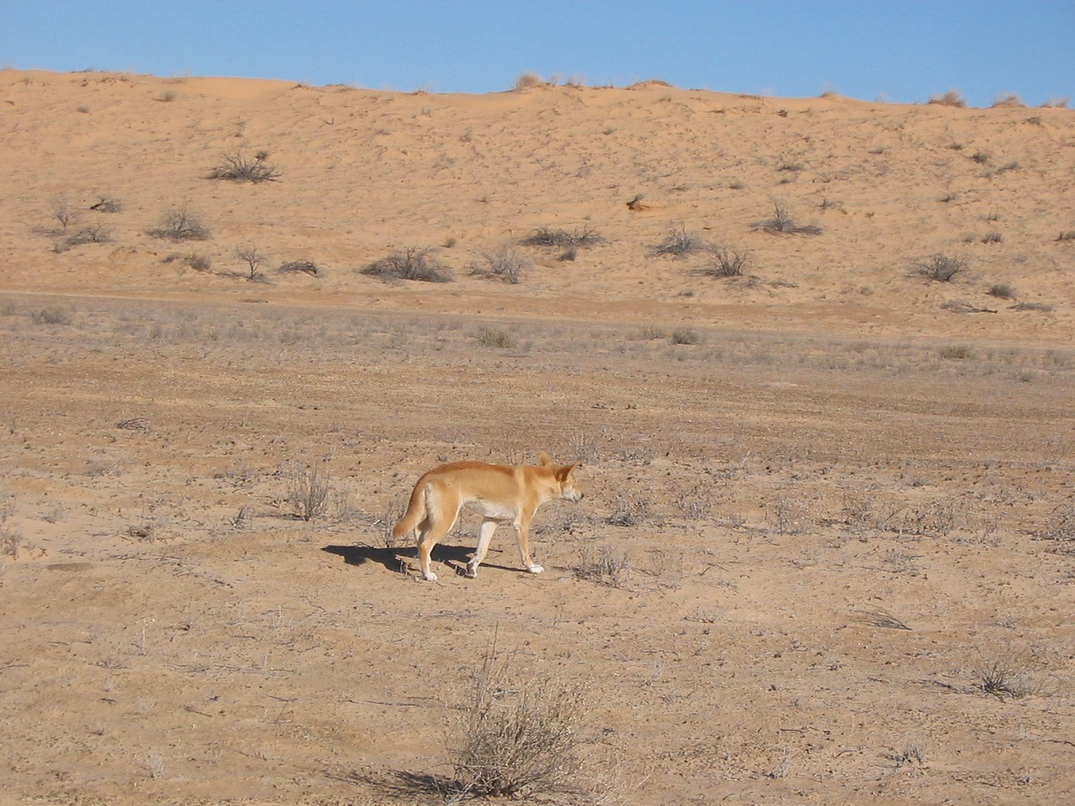
Dingo

Park Entrance
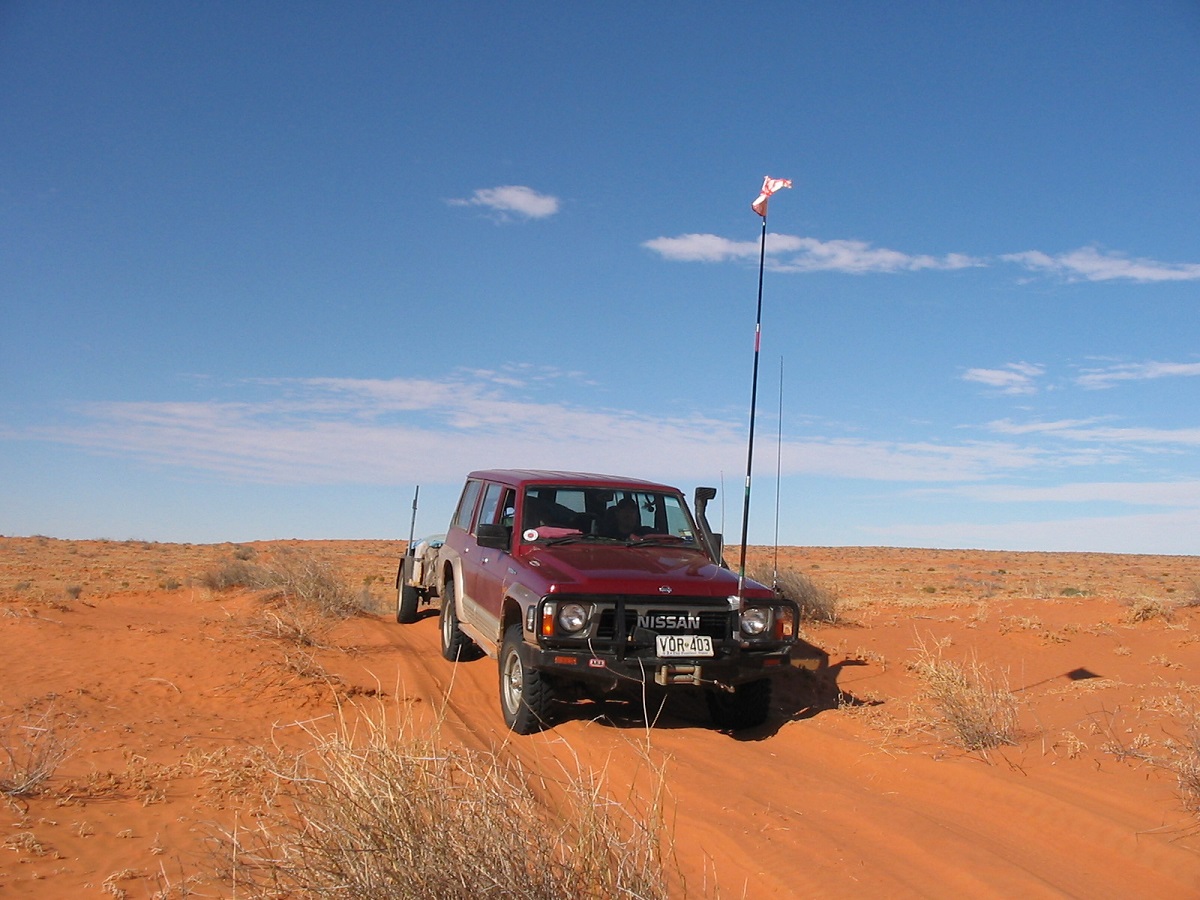
Driving the Simpson

Poeppel Corner from across the lake
There were a number of visitors to the corner on the day we were there. Having been there before on a number of occasions we walked around having a look at the visitor impact on the place had some lunch and then went for a drive to the north for about 20km up as far as an old abandoned airstrip, returning via the western boundary of Lake Poeppel.
I think that 2007 is the last time that I will drive this track. It is now badly chopped up especially on the western slope of the dunes. The eastern slope is steep in places with very soft sand and I dropped the tyre pressures from 20psi on the Nissan and 15psi on the trailer to 12psi and 8psi eventually. These days I run MRF Super Traction 12ply rating, tubed tyres on split rims, and their aggressive tread pattern makes soft sand driving a little bit more difficult as they tend to dig in to the sand. This is especially noticeable with a trailer in tow. They are, however, of benefit when bogged in sand as they do claw their way out of trouble. One dune stopped us on the French Line and after reversing down the dune three times an alternative route had to be found. I am still amazed at travellers who try to drive these sandy tracks with the highest air pressure possible in the vehicles tyres after asking various people what pressures they were running. This phenomenon, in my view, is the main contributor to track damage resulting in a scalloped out track on the western slopes of the dunes. We met with a group of people driving a 1969 Toyota Corolla car and a small Datsun Ute across the French Line. They were being snatched, by accompanying four-wheel drives, when they could not make it over the dunes. One driver was a young girl on her L Plates. A good place to learn how to drive! I turned off the French Line to drive up to Lake Mirranponga Pongunna to recall a near bog on this lake in 1987 when we did a North-South crossing of the desert in two Suzuki’s. I had found the surface of the lake hard then, and was only cutting across small section of the salt lake when we broke the salt crust and sank into the black ooze below, very quickly, I might add! Some hurried range and gear changes saw us get out of trouble while red lining the tacho to achieve this. No one wants to get bogged on a salt lake.
This day we camped well off the track in a clearing and the Gidgee wood burnt well to cook our tucker and keep us warm before turning in for the night. George had the Oztent Ranger RV tent all to himself for the trip, while I slept soundly inside the Nissan where I had constructed a multi foldup bed large enough to carry and fit my frame on to. I rang home on my Sat phone to give a travel report and to catch up on local happenings. The next morning I found that some oil had escaped from the steering damper. It was still working well but the time was approaching to replace it.
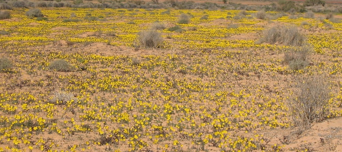
Desert in bloom
I had been to Erabena Oil Well to the north on a previous occasion but I had not driven it before heading south. So now was the time to include this track to my list. It was uneventful. We met up with some other travellers from Geelong whom we had met the day before. They were doing a similar run, driving all the tracks they had not been on before.
I had pumped the tyres up again to drive the Erabena Track but soon had to drop the pressures to the previous days levels. Again one massive dune stopped us and I had to go and look for an alternative route. The WAA Line got better as we drove further west. There were patches of light green growth in the dune corridors and desert daisies showing a field of yellow. At Lynnie Junction the Geelong Group drove on to the WAA in front of us and we let them go on ahead dropping back slightly so to avoid the dust.
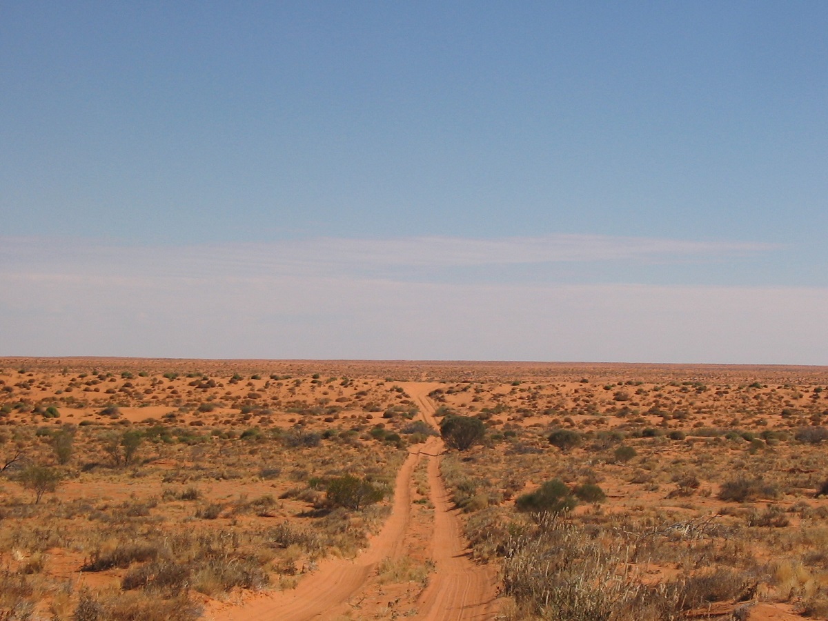
WAA Line
A short while later we crested a dune and saw a brand new Nissan, spotlessly clean and not carrying a dune flag, on a claypan, waiting for us to pass. We spoke with the solo male driver who was immaculately dressed in denim clothes. He stated that he had no UHF or HF radio or Sat phone, for that matter, and was out for a desert drive. I asked if he had spoken with the mob ahead of us. He said he had seen no one all day. I asked again and he stated emphatically that he had seen no one. We left it at that, said goodbye, and drove on. The following day I spoke with the Geelong Mob at Purnie Bore and they said that they had not seen this fella at all. Strange. very strange, indeed!
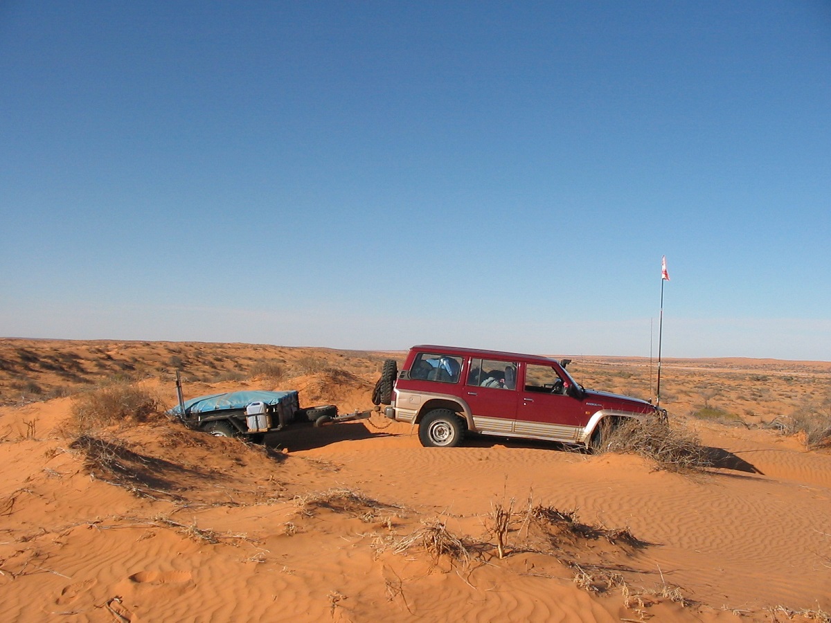
Driving the desert

Purnie Bore artesian well
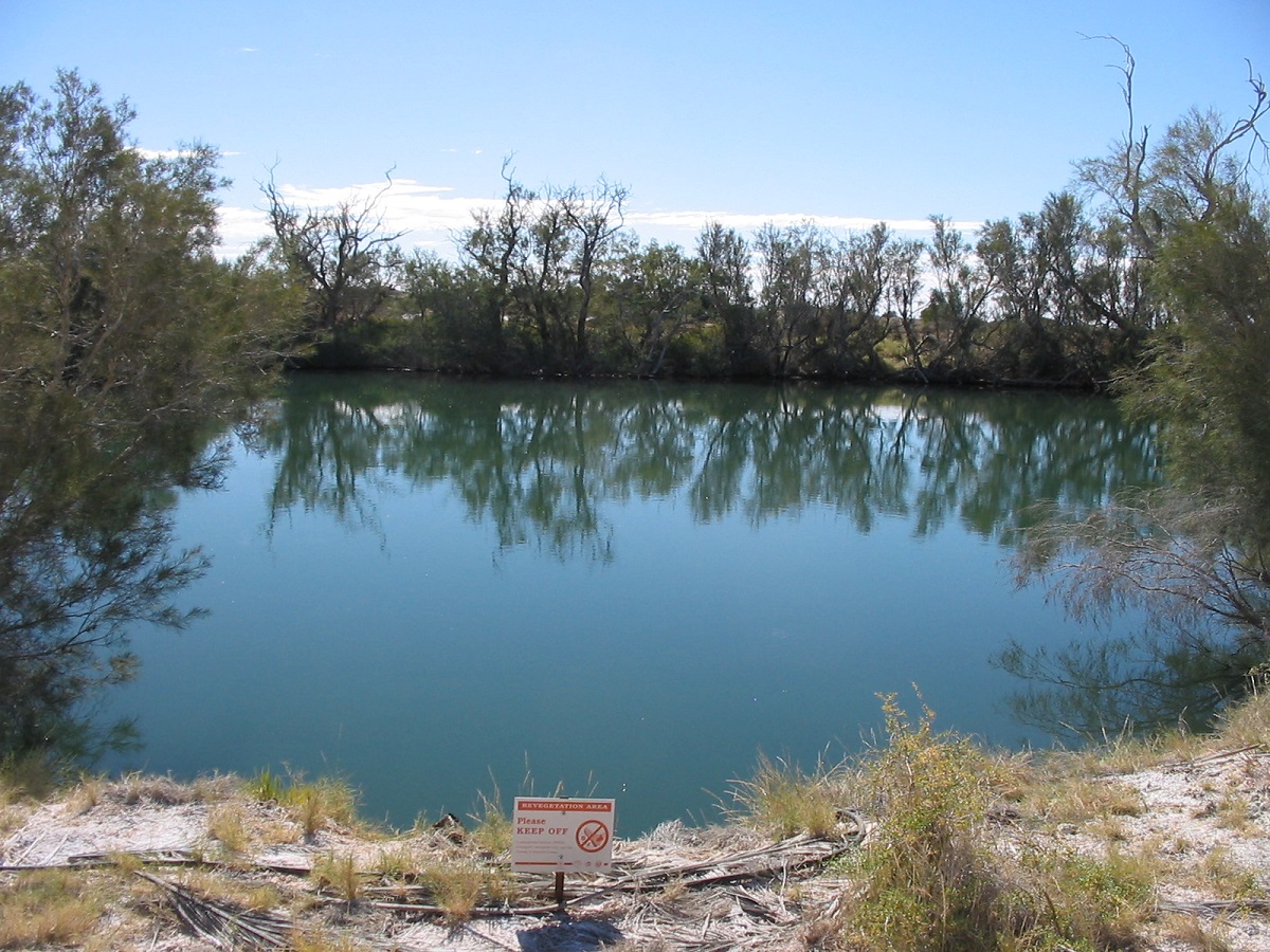
Dalhousie Thermal Spring
e
I was amazed at the growth of the reeds at Purnie Bore. It must be some sort of infestation, as I cannot recall it ever being so before. The tracks were ordinary getting to Dalhousie and Mt dare with stretches of bad bulldust leading up to Dalhousie Springs. Along the way we saw a couple of Para-gliders attempting a desert crossing with a host of support vehicles, some towing garden trailers. I wonder if they all made it across without getting into strife.
We camped a night near McDills Yard on the South Australia Northern Territory Border. Through cattle country the tracks were pretty churned up with bulldust patches. Parts of the track were quite overgrown through some of the light Mulga scrub. The track eventually firmed up. Molly Clarke’s Old Andado Station is now a Heritage Site. It is open to the public with no visible caretaker in sight. It is amazing that nothing has been pilfered so far.
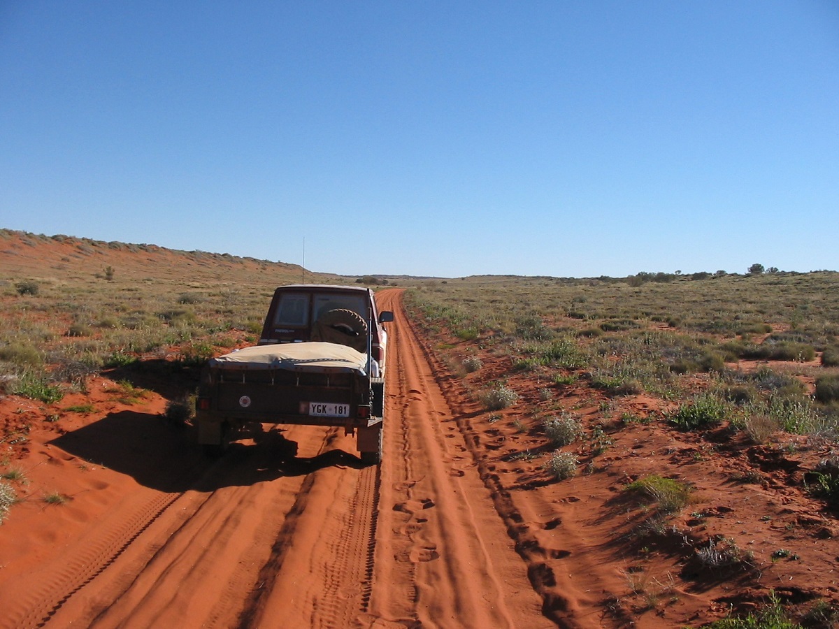
Andado Station Track
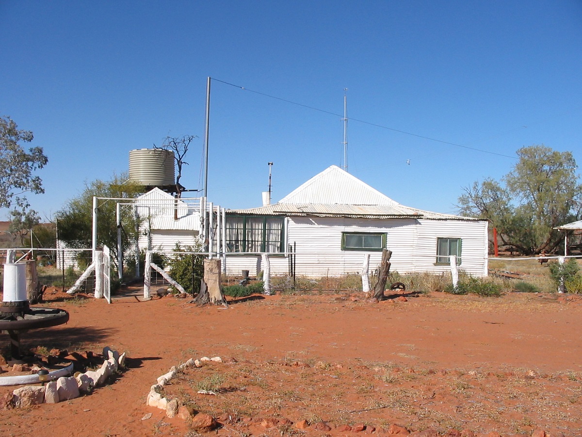
Old Andado
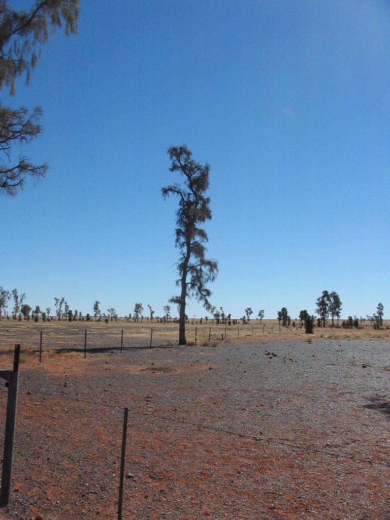
Rare Acacia Peuce Trees
At Mac Clarke Reserve we had a look around and then needed to find our way out of it to take the Explorer Territory Track to the start of the Madigan Line. The access track actually skirts right around the Reserve
Arriving at East Bore gate, we were greeted by a sign ‘Explorer Territory’. I knew that the owners of Andado Station didn’t mind travellers accessing the Madigan Line from their property as the late Ian Stabler of Mt Dare, had been doing a lot of work in that area, mapping tracks and working with the station owners. For one minute I thought that that it must be a through road and that there was actually access to the Colson Track from that point via The Twins. Not so, we were to find out. We drove for another 20km and then we left the cattle country behind. It was a sandy track and I had to stay in 4wd mode as the truck lagged a bit. Just before The Twins we spotted an old Case Tractor, which had been left there some years before and wondered about its history.
Old Tractor
We climbed The Twins and took photos of the plaques placed there, commemorating Dr. Cecil Madigan’s adventure. Then we pushed on further north to see if we could pick up tracks of an acquaintance that had been in the area. We soon found the Hummer’s wide track but they seemed to be all over the place. The drivers had wanted to access the Allitra Tableland going north from The Twins. I found the sand very soft and cresting a steep dune remarked that we would have fun if we were to turn back at all. A short while later I bogged the Nissan to its diffs with the trailer in a jack-knifed position. Ten pounds pressure in the tyres saw me crawl my way out of the predicament like a traxcavator. I could see that in this very soft sand country we were not going to have enough fuel to reach our objective, which was Geosurveys Hill via Camp 8 on the Madigan, and decided to turn back. Now we had a couple of dunes to cross before we could get back to The Twins. I could only get up three quarters of the very steep dune and had to drive almost 5km before I could find a place to cross over. The same went for the two more dunes. We made camp on an open pan below The Twins. A friendly dingo came to watch us no more than 5 metres from the campfire and trotted away into the darkness before we could take a photo. The following morning the dingo brought his family along and they hung about for an hour before deciding we weren’t going to give them anything. The dingos are getting too familiar hence their Latin name, canis familiaris, and not many people go out into that region for them to become tame. Just cheeky, I think!
The Old Andado Track to Alice Springs is decidedly the worst road I have been on for a while. The countryside is quite scenic through the Rodinga Ranges and Train Hills but the road hasn’t been graded for a while and with increased tourist traffic there were some humungous bulldust holes. I tried to avoid most of them but caught the side of one and the trailer dragged the Nissan in to a hole about 1.2 metres deep. We were not going very fast but suddenly all light was obliterated and we were in total darkness for a few seconds and then daylight appeared slowly again as the dust ran like rain from the windscreen. The road beyond Santa Theresa Community wasn’t in good repair either with rounded shoulders and endless corrugations.
Alice Springs
We spent a leisurely 5 days in Alice, catching up with friends, doing some repairs to the Nissan and changing the oil, oil filters, fuel filter and air filter, and stocking up for the next leg of the journey. While we were there, our host obtained permission from the owner of The Gardens Station to visit Jennings Gorge, which lies on the eastern perimeter of Mordor Pound. On the Sunday we tried to drive up Bitter Springs Creek to get to the gorge but I opted for another track as the creek escapade was getting too rough and I had already put a small dent under the left hand front mudguard. Further on we turned off the Arltunga Road and followed another track, which led to a gate. Our journey took us through some hills to a bore and then a later the track into Jennings Gorge. We met the station owner’s daughter and her friend, both riding quad bikes, on that track, and had a chat. The track was quite rough and steep, with broken rock everywhere and took us across a saddle into the Mordor Pound below, from where we accessed Jennings Gorge. We walked to the gorge, after a spot of lunch, when we had driven as far as we could go. Jennings Gorges are a series of narrow gorges and quite spectacular. One can clamber to the bottom of the gorges by using a scree of fallen rock but it is definitely only for the young and fit people to attempt. On our journey out we followed the track along and around the Georgina Range until we got to a station track heading south. Looked out for some old mining activities along some disused tracks. Along the way there was a natural spring as a stock watering point. The spring had been fenced off and it would seem that it is perennial. The whole area is very scenic. After exiting Mordor Pound we found some recently graded station tracks until we came to an illegally locked gate. So it was down to the creek where we put the fence down and up again and made our way back to the Ross River Road where I pumped the tyres back up and drove to Alice Springs.
East MacDonnell Ranges and Cattlewater Pass
We did the touristy bit on the way out to Arltunga and beyond as George had not been in this are before and visited Corroboree Rock, Trephina Gorge, The Big Gum and Arltunga Reserve.
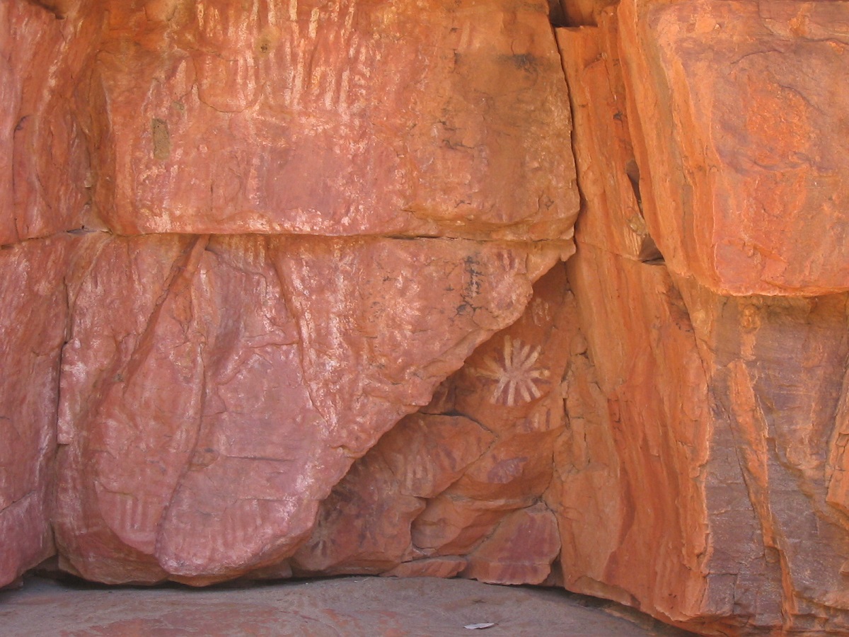
Rock Art in Trephina Gorge
Cattlewater Pass is an Explorer Territory track as well and connects to the Plenty Highway from the Arltunga Road. It was rough in places with frequent washouts and it hasn’t been maintained for some time. Along the way we went fossicking in the hills for garnets and found a few low quality stones.
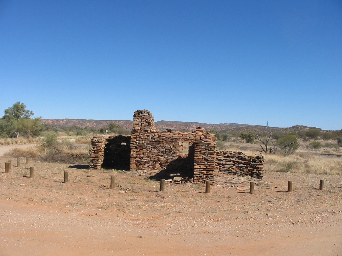
Arltunga Ruins
Plenty Highway and Sandover Highway
The Plenty Hwy was in good repair and soon we were on strip bitumen heading towards the Stuart Hwy. I topped up with some fuel at Gemtree at an exorbitant price and we also bought some cold drinks and a few nice gemstones. Once we were on the Sandover Highway the road surface deteriorated markedly and it was difficult to maintain a speed over 80kmh. The rounded shoulders of the road had rivulets washed out from previous rains and it seemed as if the road had not been graded for years. There were also hundreds of small dips in the road which one had to slow down for. It was a long corrugated 243km to Ammaroo, where we turned off on to the Murray Downs Station track.
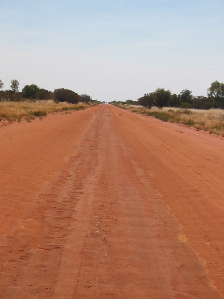
Sandover Highway
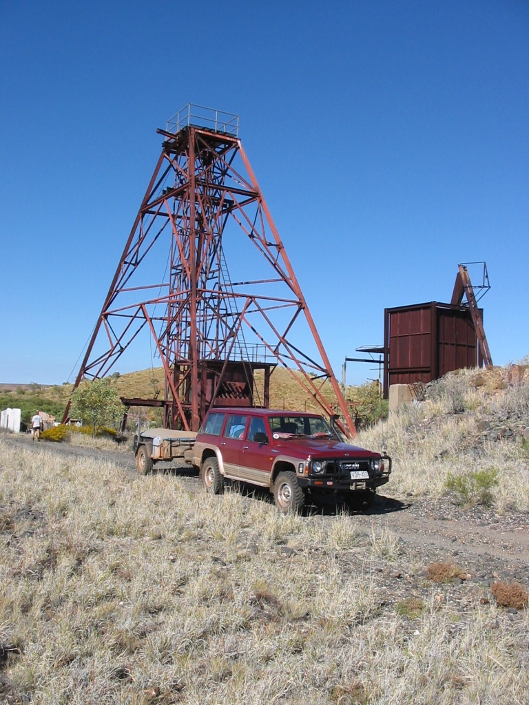
Hatches Creek Wolfram Mine
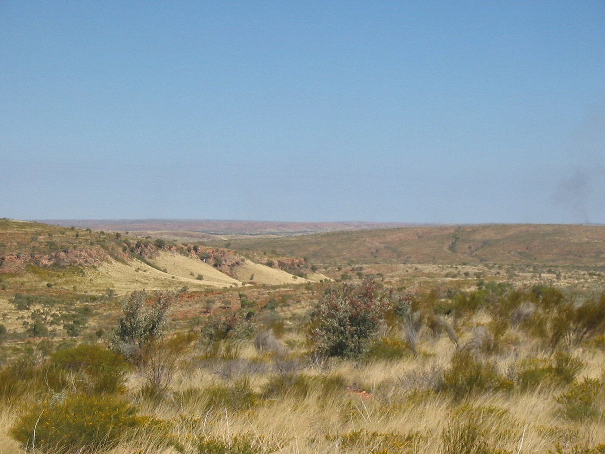
Davenport Ranges
Davenport Ranges and Frew River Track
The grader had just been over some of the tracks and we chatted to the driver over the radio when we met up with him on the Murray Downs Road. The Davenport Ranges tracks are now in a much better condition than when we last visited here in 1996. Had a good look again around the Hatches Creek Wolfram Mine and then pushed on to Old Police Station Waterhole.
Along the way we met up with another traveller who advised that Parks and Wildlife were conducting cool burns and that the Frew River Track was closed. This track, which is not suitable to tow trailers over as stated on the sign at the gate, takes around 2 hours to drive the 17km of its length. We didn’t see a Road Closed sign on the gate so proceeded to drive the track. About halfway along the track we met the Rangers who were burning the Spinifex in the centre of the track to create a firebreak. The fella asked if we had seen the sign and after saying No, asked where the sign was. On the Stuart Hwy, he said. Ah but we didn’t come in that way! OK No worries and we were let through to drive over the small flames.
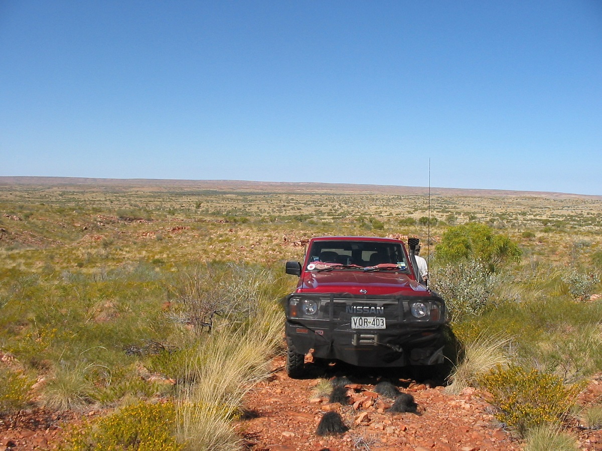
Frew River Track

Frew River
Old Police Station Waterhole is a lovely spot but this time around there were a number of travellers and a whole contingent of Parks and Wildlife people including a helicopter buzzing back and forth to disturb the peace. We had a good camp there all the same.
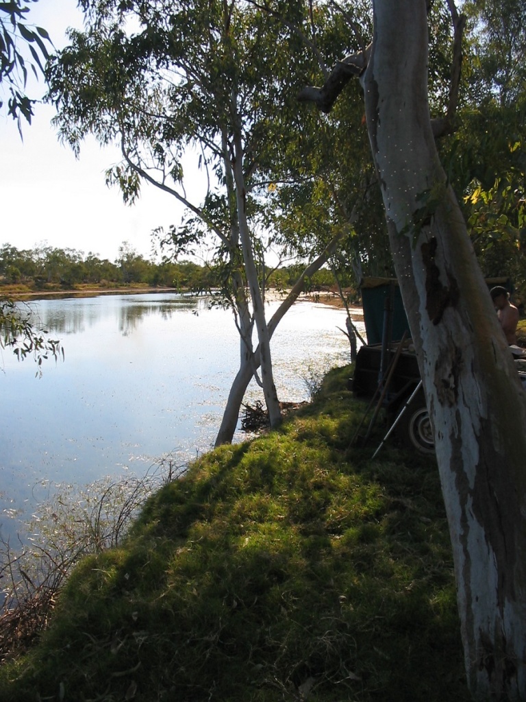
Old Police Station Waterhole
The following day we pushed on to Epenarra Station and the Barkly Highway only to find that the station has closed the connecting track to the highway. When I asked as to the reason the station manageress got hot under the collar and started an unnecessary tirade about this and that and then apologised when I calmly agreed with her. So we took the long way around via Tennant Creek to the Barkly Hwy.
Rockhampton Downs/ Brunette Downs Track
This road was marked on our Hema Road Atlas and we drove the first part along a well-maintained road to Rockhampton Downs but there the road ended. I drove into the station and a very nice young fella drew a mud map for me on the rest of the track to Brunette Downs. Without the mud map we could easily have lost ourselves out there. The Barkly Tableland is in places, a bigger treeless plain than the Nullarbor. Covered in Mitchell Grass, which is good feed for cattle, the early explorers from Queensland settled here to build up their herds. At one place we could see thousands of Brahman cattle on the plains. We met the Tableland Highway just on dusk and soon found a roadside camp with some wood about. There was some early traffic but nothing passed through the night and all we could hear was cattle lowing in the distance.
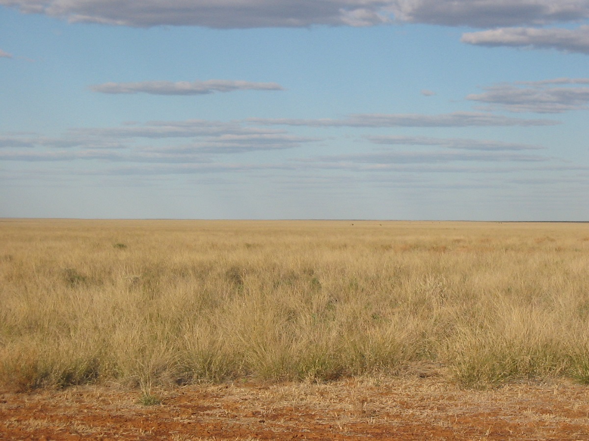
Rockhampton Downs Plains
George was bemused at my antics on the Tablelands Highway beef road. Being a single lane bitumen road I tend to want to get out of the way of oncoming traffic so as to save getting my windscreen cracked by rocks thrown up by either a Road Train, or a careless traveller. So I get right out of their way to the side of the road and give them the bitumen. It works most of the time except that some people, especially those towing caravans, are so conditioned, that they go off the bitumen anyway. We refuelled at the Heartbreak Hotel Cape Crawford, after nearly running the tank dry and set off again to drive the Savannah Way to Roper Bar
Savannah Way
This road is in reasonable condition with a few bulldust patches and some corrugations. There are quite a few wet creek crossings. I was amazed to see so many people towing conventional caravans along these outback roads. We made it to Lorella Springs Campground by early afternoon.
Lorella Springs
Lorella Springs Station is 1 million acres in size and it is a working cattle property. The place has an interesting history, which can be accessed via the Internet. The station has branched out into tourism as well and has a well-maintained campground with modern conveniences. A thermal pool at the campground, bar facilities, and Satellite TV all add to the presentation of the site. There are a number of drives around the station to points of interest, and after a late breakfast, we drove out to Sliding Rock, Muster Cave, Bill’s Camp and Eagles Nest. Saw some good country and also some orchids growing high up in a tree. There were small Freshwater Crocodiles in Rosie River. Lorella Springs also caters for the fishing enthusiasts and there is an 80km track to a special Fishing Camp near the mouth of Rosie River on the Gulf of Carpentaria. The station offers a look into the wild serenity of the tropical woodland savannah country and a chance to discover new knowledge of an otherwise untamed landscape.
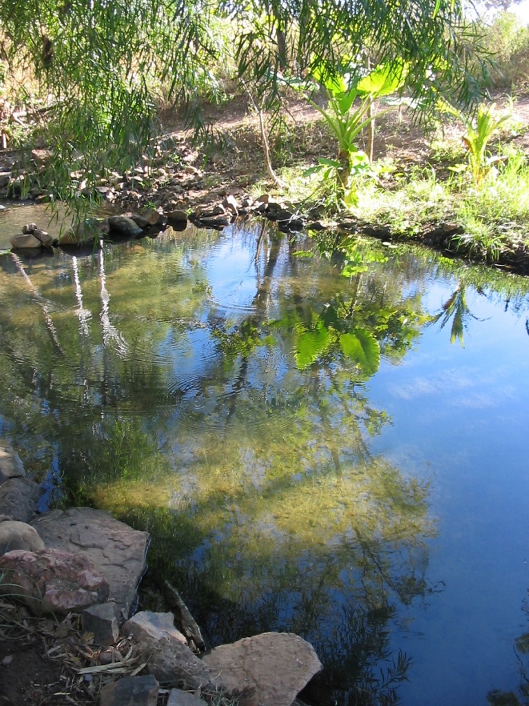
Thermal Pool at Lorella Springs
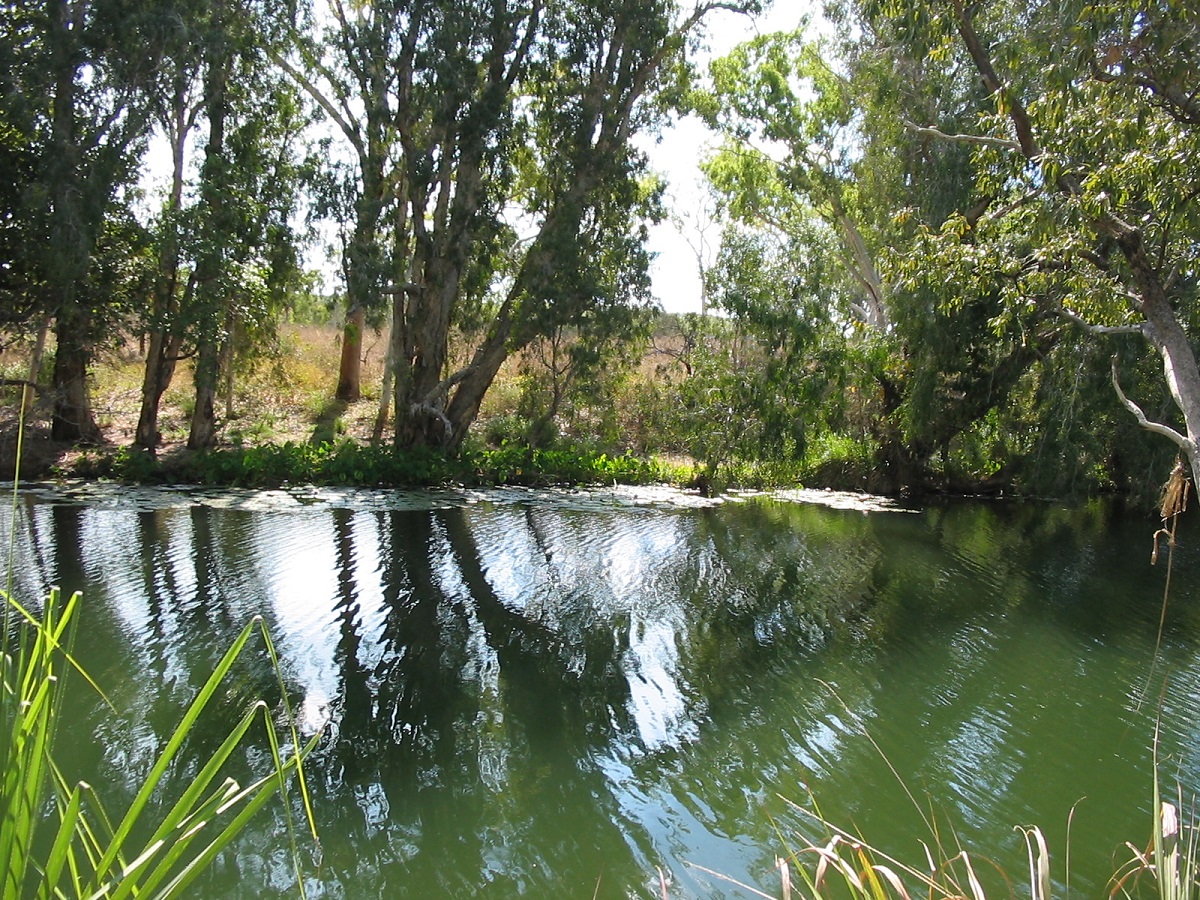
Rosie River
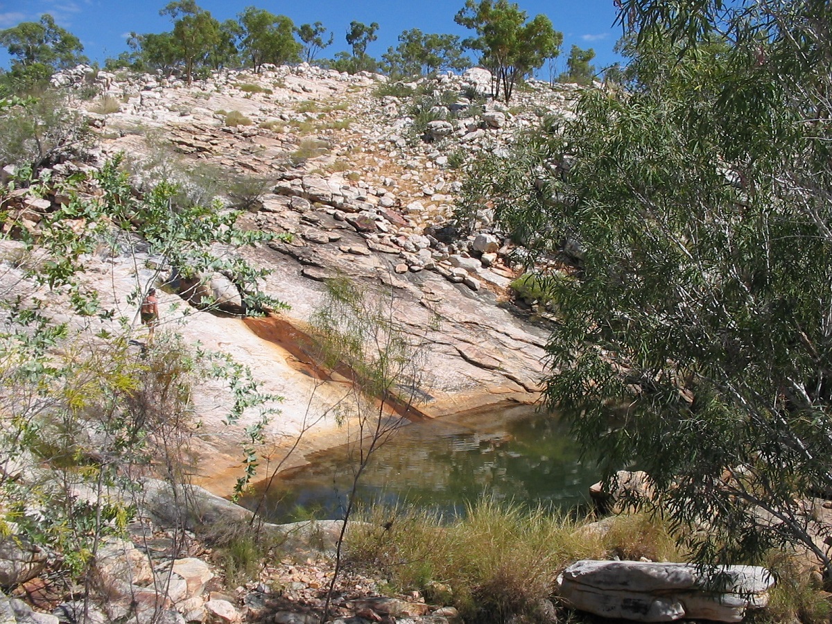
Natural waterslide Lorella Springs
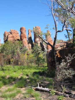
Southern Lost City
I had heard of the ‘Lost City’ way back in the 1980’s but never got the chance to visit. Now I had the chance to see some of it as the NT Government has set about to create the new Limmen National Park. It is named after the Limmen, a Dutch vessel under command of Abel Janzoon Tasman, who in 1643, looked at the coastline of the Gulf of Carpentaria.
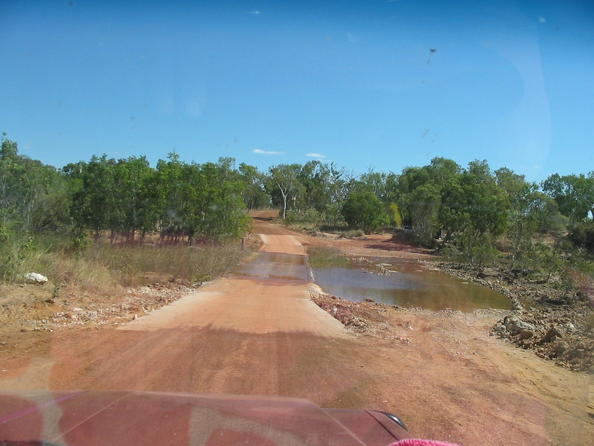
Limmen River crossing
At this stage visitor facilities are few. There are two lost cities within the park. The Southern Lost City, is the more accessible of the two, is 35km south of the Nathan River Ranger Station. It’s a three-kilometre track in from the main road with a two-kilometre easy walking trail among the rock formations. We opted for walking only part of the way, as the sun would have been at the wrong angle for the rest of the viewing.
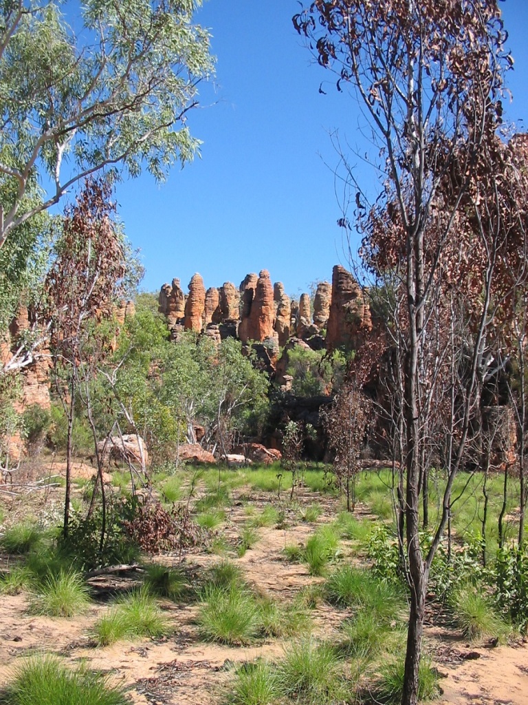
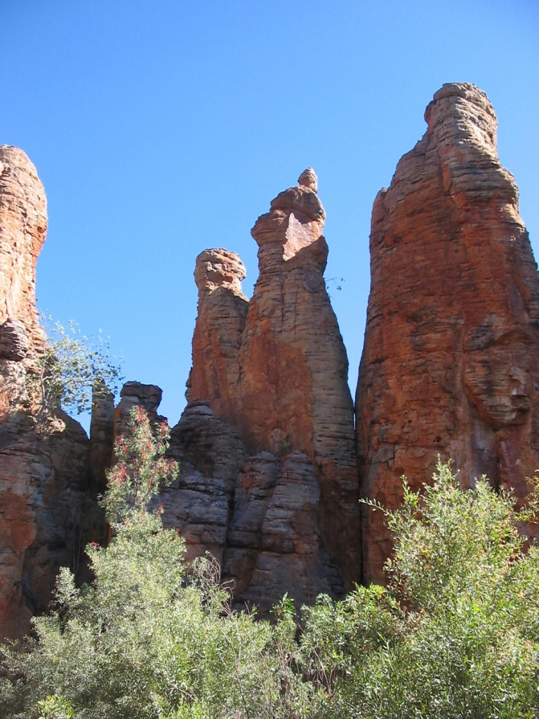
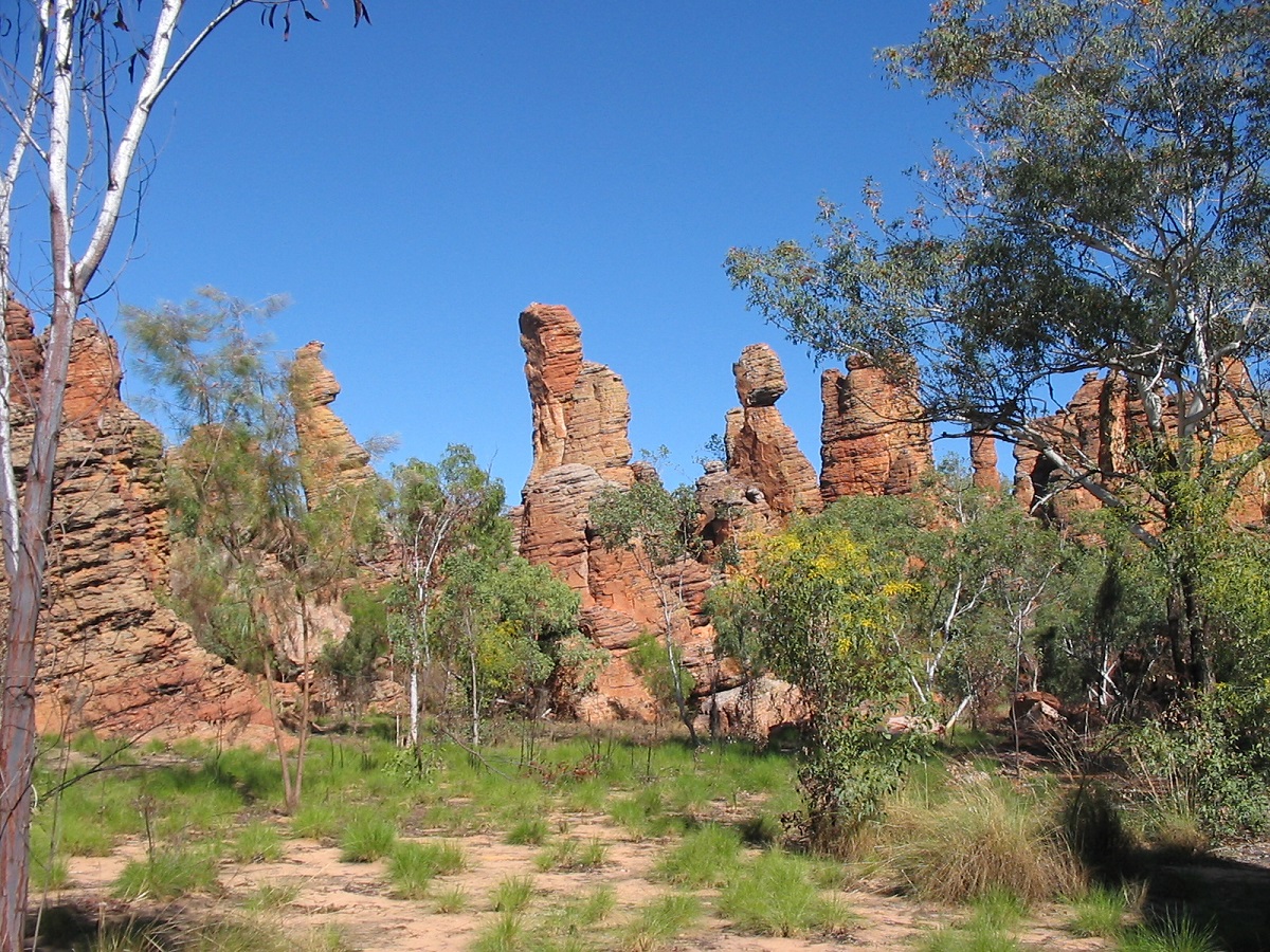
One can wander amongst almost identical rock towers on a one-hour walk. It took 1.4 billion years in the making and these rocks are some of the oldest in the world. They consist of 95 per cent silica and are held together by an outer crust made mainly of iron, giving them a unique reddish colour. Access to the Western Lost City formations is by 4WD vehicle only. You will need a key from the Ranger Station to unlock the gate at the start of the 28km track. It begins just north-west of the Nathan River Ranger Station and ends at a 300-metre walk and short climb to views over the O’Keefe Valley. Call and organise the key prior to your visit, as the Ranger Station is not always attended. Travelling on to the north you cross the Cox, the Towns and Limmen Bight Rivers flowing into the Gulf of Carpentaria to the east and there are plenty of opportunities to enjoy fishing. Boat ramps and basic campgrounds are provided at the Towns River. You may camp at Butterfly Springs, a beautiful swimming hole surrounded by paperbacks, fern-leaved grevillea ablaze and Kurrajong flowers during the dry season that attract hundreds of birds to the oasis. It’s also home to thousands of common crow butterflies that cover the sandstone wall to the right of the pool and arise as one when you approach. Butterfly Springs is the only place in the park considered safe for swimming, although not suitable towards the end of the dry season as the pool could become stagnant.

Butterfly Springs
At Butterfly Springs I bumped into another bloke whom I chat with via the Internet occasionally. Another good camping area is the Lomarieum lagoon beside old St Vidgeon ruins.
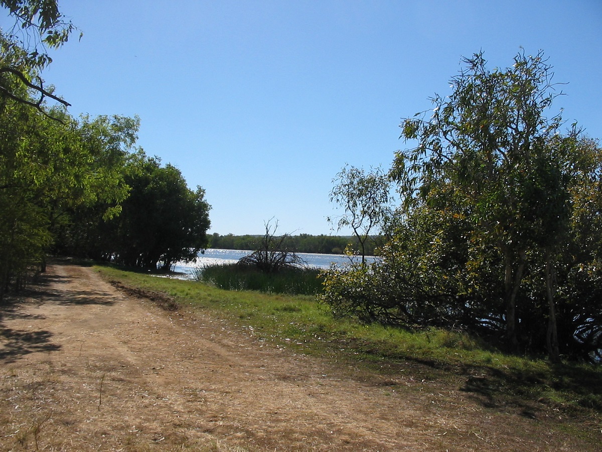
Lomarieum Lagoon
It is a short distance from the Roper River and the large water lily covered lagoon is a haven for bird life. It is an ideal place to camp if you have time on your side. There are no facilities though and do not attempt to swim in the lagoon. Further along the Roper River we came a across what looked like a tent city with vans, RV’s and boats all huddled around a popular boat ramp. I sped past not wanting to be anywhere near such a throng of people. We camped at an idyllic spot under the trees at Rocky Bar on the Old Hodgson River crossing about 5km upstream from Queensland Crossing on the river.
Rocky Bar Camp
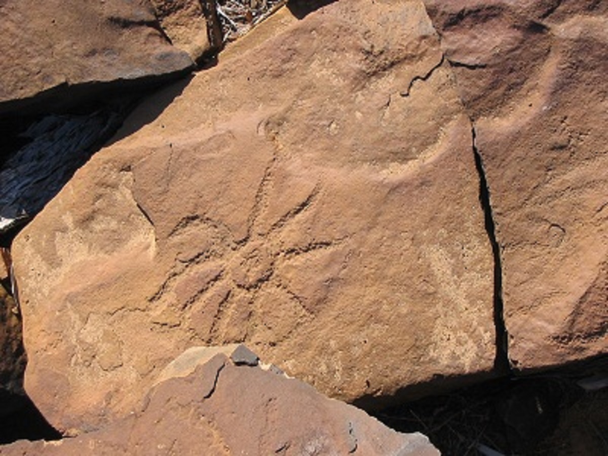
Rocky Bar Petroglyph
I could hardly recognise Queensland Crossing with the new bridge being built in the time that I had been absent from these parts. At Rocky Bar there are many ancient petroglyphs pecked into the rocks. A bumpy bush track leads top this campsite.
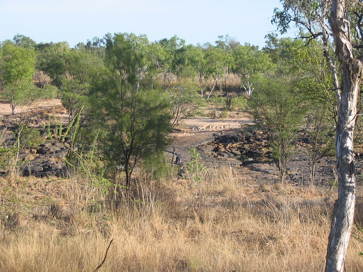
Rocky Bar Crossing
It is a short distance to Roper Bar Crossing on the Roper River and then from there to the west another 35km of gravel road before reaching the strip bitumen Roper Highway and as further 140km to the Stuart Highway.
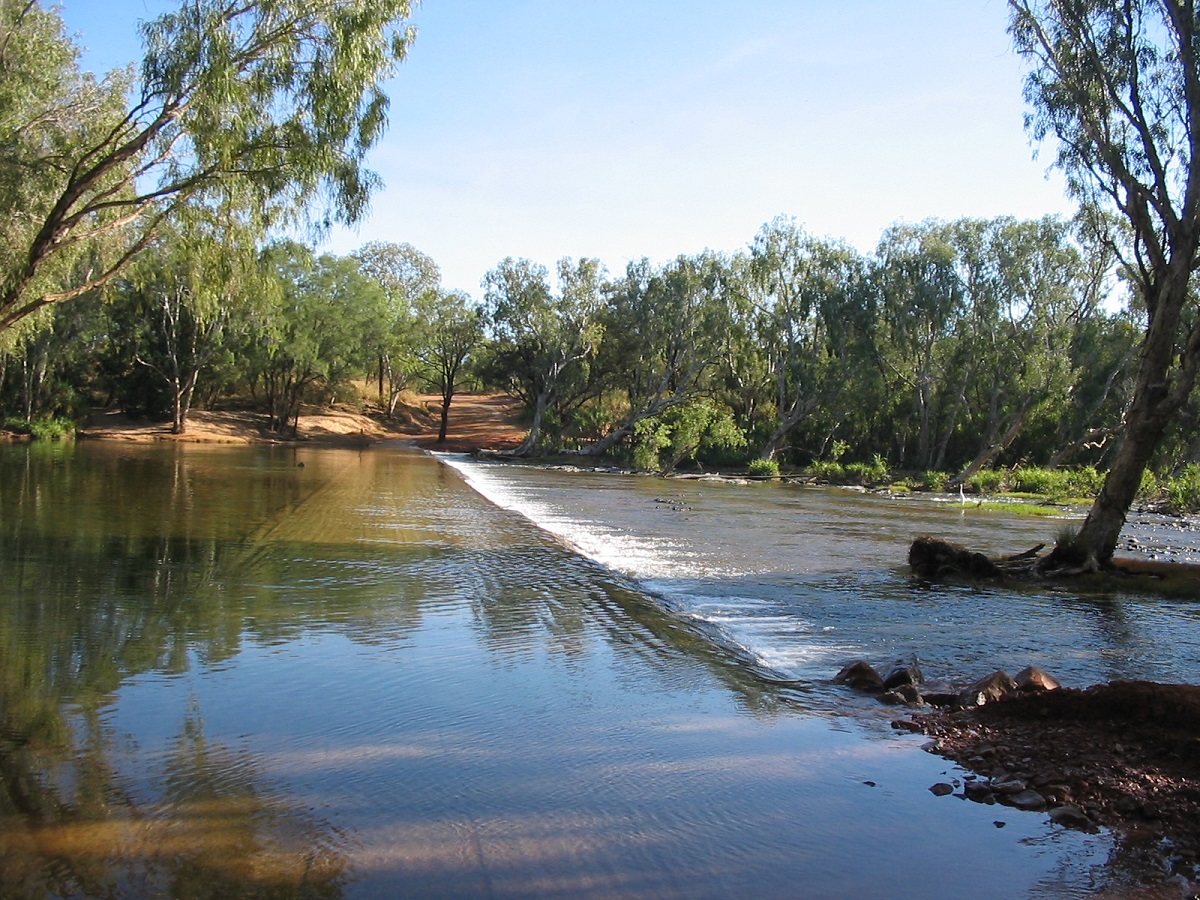
Roper Bar Crossing
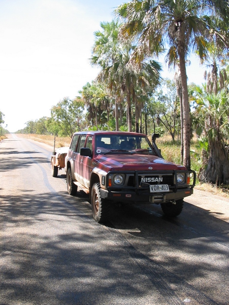
Elsey Crossing on Roper Highway
Once on the bitumen we passed by Mataranka and Katherine, visited some old friends at Pine Creek, took the old mining road to Grove Hill Pub where we had a drink with the owner, and eventually arrived in Darwin in the late afternoon. I was amazed at all the traffic between Katherine and Darwin and stunned that there were now traffic lights 35km out of Darwin. The price of progress, I guess.
We had driven 5000km and bush camped every night for close on three weeks.
THE LONG ROAD SOUTH
My friend, Uncle Milton, rang me when I was in Alice Springs and asked if I would like a passenger for the drive back south. He was flying up to Darwin to visit a friend. And so this happened.
Arnhem Highway/ Kakadu Highway/Stuart Highway
After a very restless night at the house of my friends, which is situated near the Darwin Airport, what with about 20 jets taking off during the night, I got on the road after 8am. Refuelled at Woollies to get the best discount and was full with 330 litres of diesel and then made for Virginia where Uncle Milton was staying. He was ready when I got there and we set off after saying goodbye to his friends. Then on the spur of the moment I decided to go and have a look at our home that we built at Bees Creek many years ago. Sadly to say it is now in a very neglected and run down state with dead cars lying everywhere. Spoke with a young fella there who came out of the house.
We then took to the Arnhem Highway seeing sights we had seen before and looking at the development of the outlying areas over the years. The Kakadu Entrance Toll Booth is gone and has been replaced by toilets and interpretive signs on the values of Kakadu.
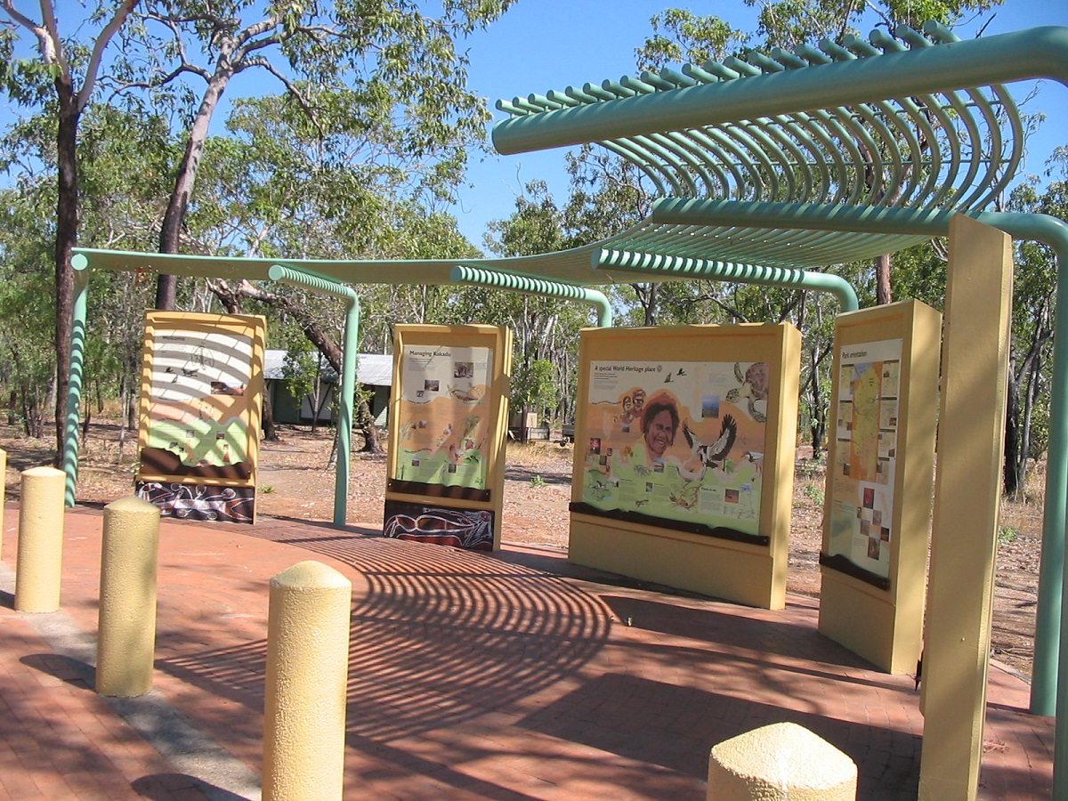
Kakadu National Park Entrance
Kakadu National Park Entrance on Arnhem Highway

Long Road Train at South Alligator Pub
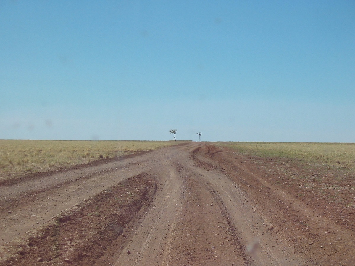
Mitchell Grass plains
We saw a large crocodile lying in the mud as we crossed the South Alligator River. At Jabiru Township we spent an hour and a half with Steve Toms, a mate, who runs the successful Top End Explorer Tours. Later we stopped at Mary River Roadhouse for refreshments and called in to see a friend at Pine Creek and enjoyed a cuppa there. I put some more fuel in at Pine Creek. Once back on the Stuart Highway we started looking for a campsite but times have changed and everything is fenced off these days. Eventually I spotted an old track leading off to the left near Edith River turn off and we bounced down this washed out track to camp below the new railway bridge. The river bubbled away over the stones as we set up camp on the sand. Some dingoes howled later on after we had eaten our feed of chicken fillets and vegies. The frozen mangoes we were given by my friend in Pine Creek were delicious. A train passed by overhead at 4.34am and woke us up with a start. We broke camp at 8.15am and refuelled in Katherine. Milton did some shopping and said that Woollies there had an unhealthy odour. We tootled on down the Stuart Highway and had an early lunch at Mataranka before pushing on to Elliot where we refuelled again.
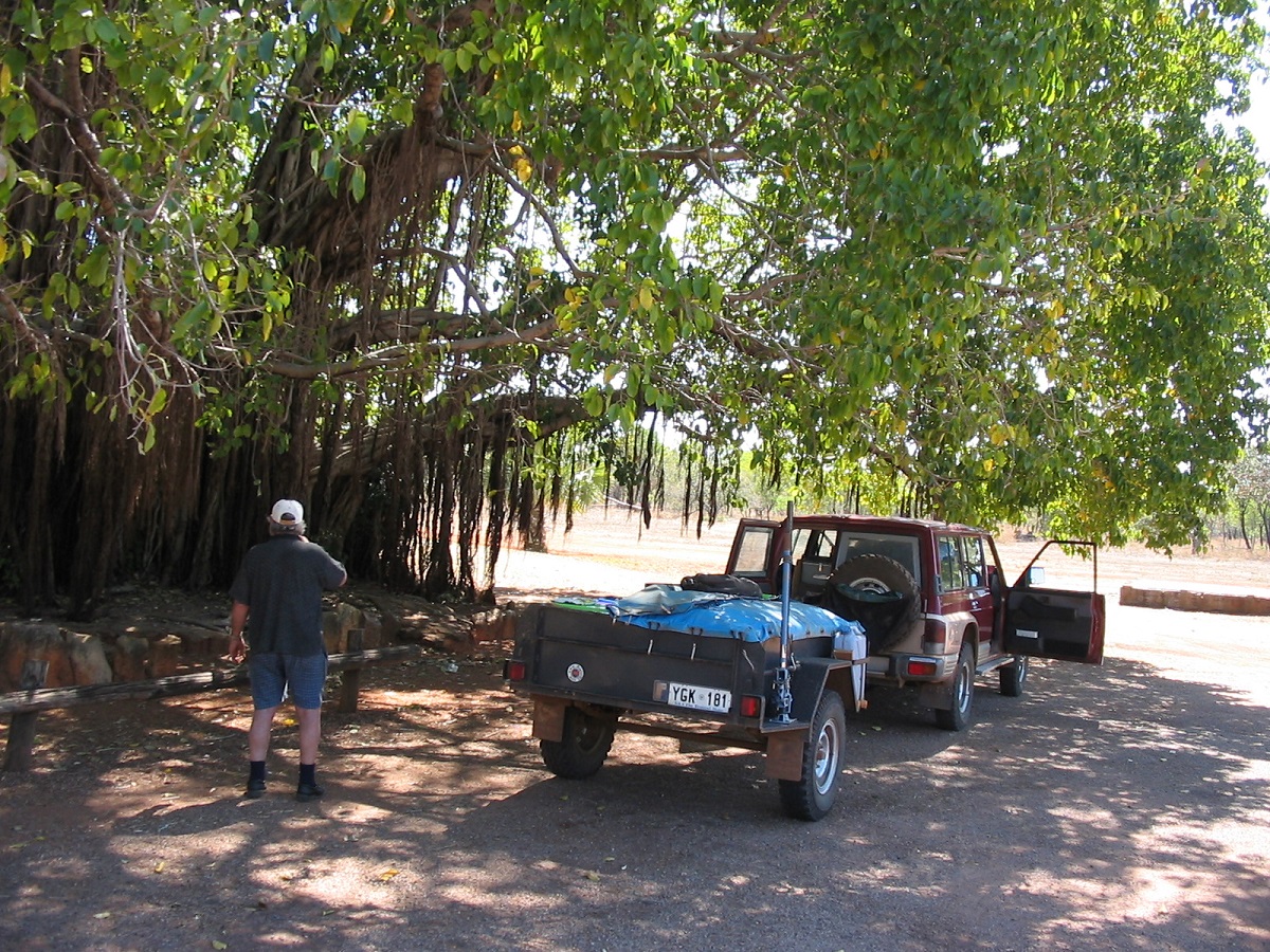
Lunch under the Banyan Tree at Mataranka
Barkly Stock Route/Tablelands Highway/Ranken Stock Route
I had always been intrigued by the road sign which stated NO FUEL FOR 500KM. Having driven past this sign on many occasions it was time to explore the Barkly Stock Route. Twenty kilometres south of Elliot we turned east and we were surprised to see a 110kmh speed limit sign on this gravel road. I always seem to have good luck, as we started on the road only a few days after it had been graded
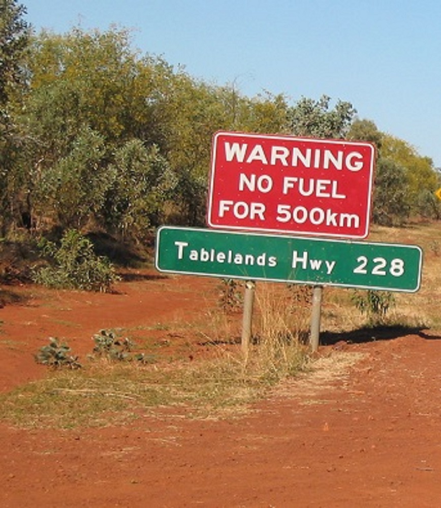
Barkly Stockroute
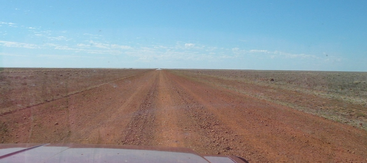
Barkly mirage
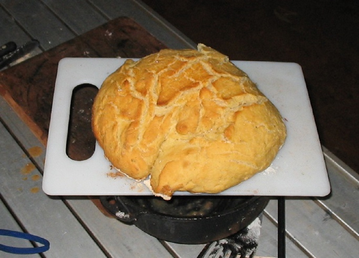
A perfect damper
We managed to find a decent campsite amongst a few scattered trees on the open plain, away from cattle, and about 60km east along the route. The day has been nice and not too warm. I cooked a perfect damper with the hot coals at my bidding.
The next morning we broke camp around 8.30am. Vast open plains, covered in native Mitchell Grass, which is good feed for cattle, lay before us. It is said that between 30% and 50% of the Northern Territory cattle are raised on the Barkly Tablelands. We travelled through Helen Springs, Ucharonidge, Mungabroom, Eva Down and Anthony Lagoon Stations.
Mitchell Grass plains
Then it was a short drive south along the Tableland Hwy to the Ranken Stock Route via Connells Lagoon Conservation Park. This area is a vast treeless plain, larger than the Nullarbor and growing mobs of Brahman Cattle. We stopped for lunch on the Tablelands Hwy at a Rest Stop and chatted with some travellers. Then later when we refuelled along the Ranken Stock Route in the shade of a lonely Coolabah Tree, we spoke with an English couple that drive a different country each year for their holidays. We passed through Brunette Downs and Alexandria Downs stations and found a great campsite next to a billabong on Lorne Creek just 20km north of the Barkly Highway. I rigged the shower up and we had a well-earned wash. The truck had used a little more fuel this day as we have been driving into the wind.

Road Train approaching
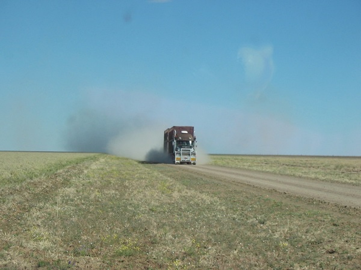
Better get out if his way
Dust
Everything is running well and the trailer seems to be more manageable with the spring over set-up again. I rang home on the Sat-phone to give our position. There were some insects about but they concentrated on our camp light and left us alone. No traffic passed through the night.
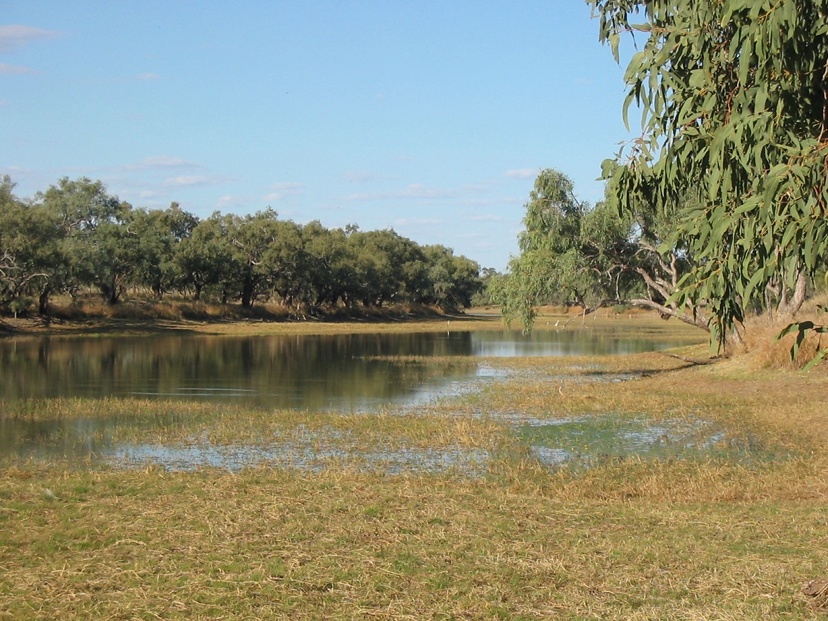
Lorne Creek
Barkly Highway/Austral Downs Road/Sandover Highway/ Urandangi Road to Tobermory
We made an early start the next morning. Had smoko at Avon Downs Rest Stop where free coffee was on offer. Then we travelled the road past Austral Downs to the Sandover Highway and turned left to Alpurrurulum Community and then Lake Nash Station where we called in for some route information. They weren’t overly friendly when I asked to use the short-cut route to Headingly Station. We had lunch in the shade on the outskirts of Lake Nash and I refuelled again using my trusty home made Tanami pump. Then after lunch we went to the end of the track at Lake Nash to take some photos but it was a track where most people fear to tread and I had to do a seven-point turn with the trailer to get out again.
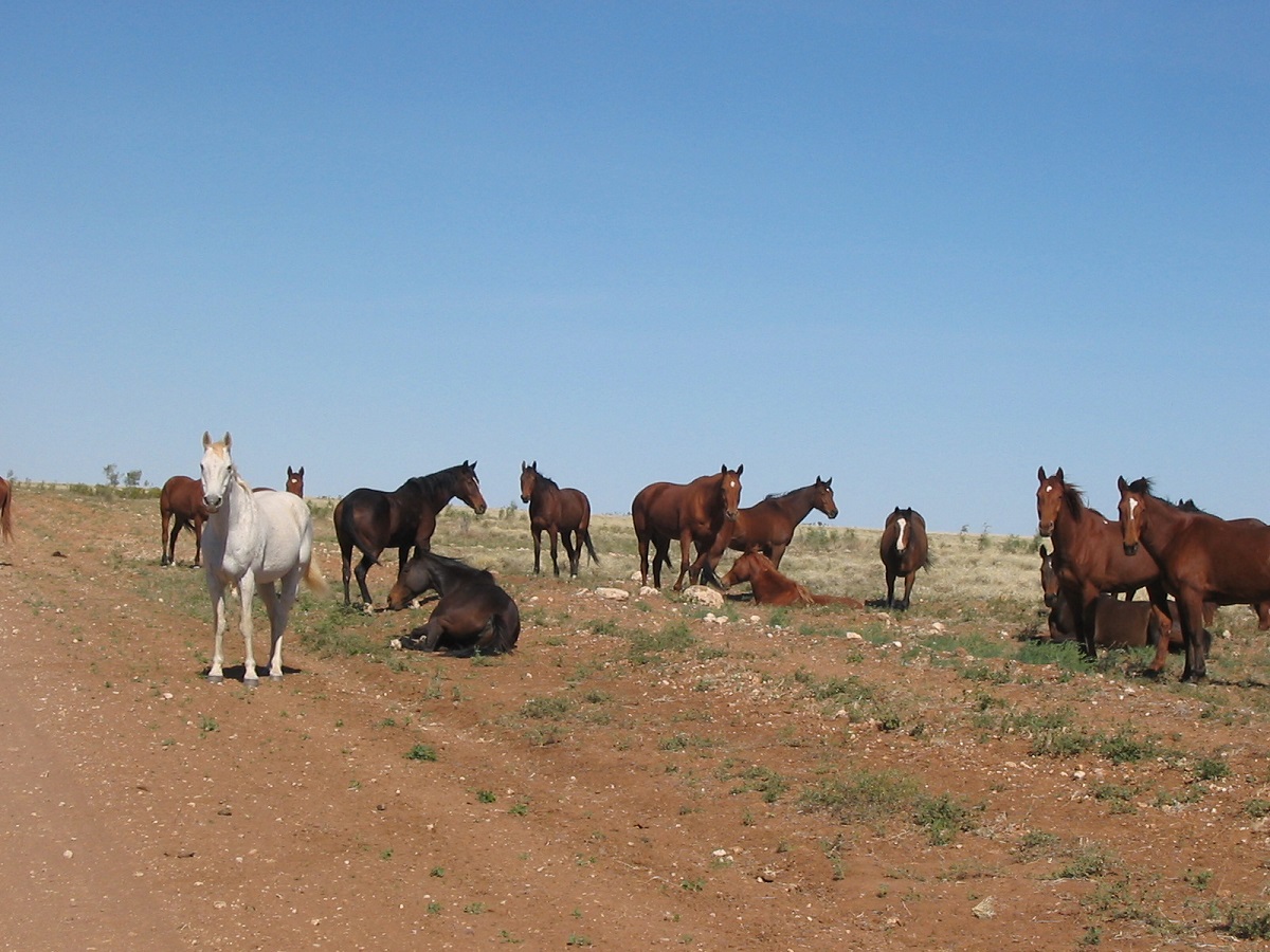
Austral Downs horses
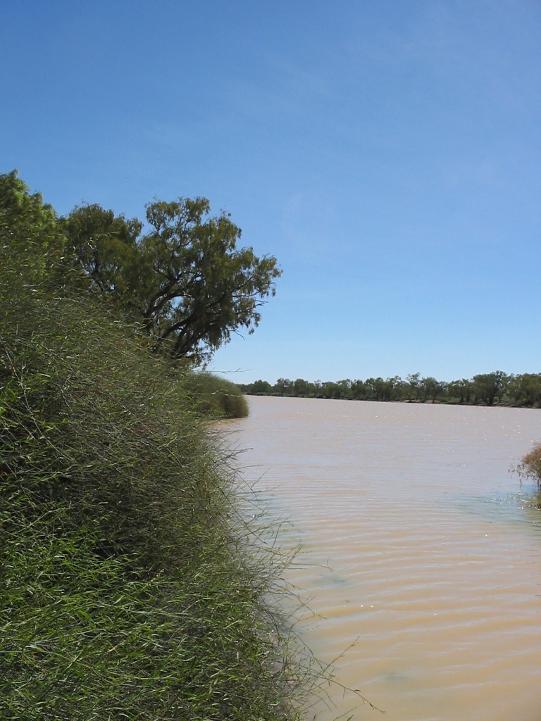
Lake Nash
The road to the next connector road was ordinary with a few wrecked cars along the way. We got there eventually and then made for Urandangi Community. The place still looks the same and pretty derelict at that. We talked to a couple of old fellas along the road who were heading in the same direction as us. We looked for a camp spot on the Woodroffe River but could not find one suitable. The Barkly Tablelands were still with us and only petered out when we got near Tobermory Station. Along the way we had a good look at a large sinkhole on the side of the road.
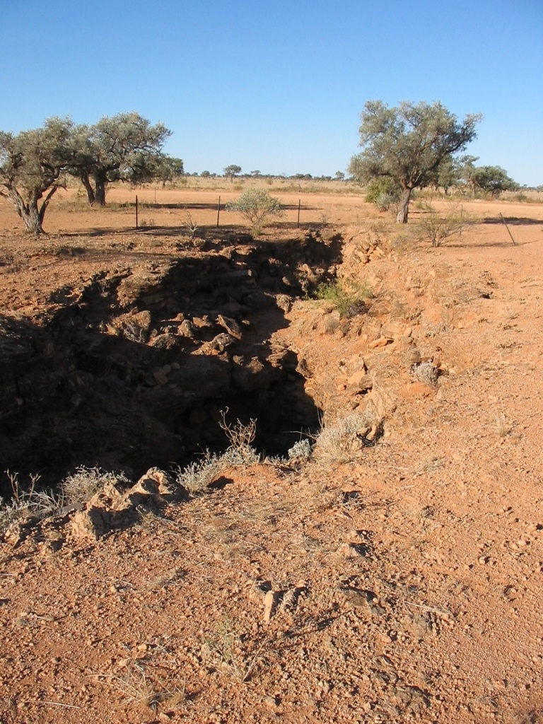
Sinkhole
After Tobermory Station we made camp a short distance across the Queensland Border in a road works area. I rang home and also rang our friends in Darwin to give them an update on our position. This day we saw Wedge-tail Eagles, Red Kangaroos, a Perentie Goanna and a snake and of course, lots of cattle and station horses. The Oernetie got cranky with us for disturbing his peace and stalked off,
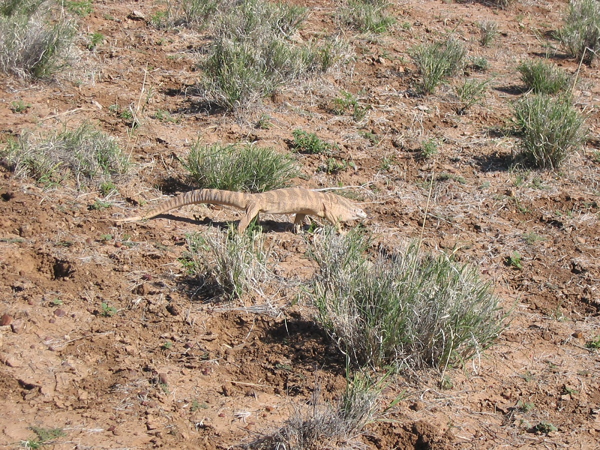
Cranky Perentie
Later in the evening I cooked some pancakes. It took a while to get it right but we ate our fill and fell into bed soon afterwards. In bed by 9pm and no traffic passed during the night. The auxiliary battery has a low voltage reading. It may be the solenoid playing up. At sunrise the following morning I disconnected the solenoid and then connected the batteries in parallel. We broke camp at 8.15am and made for Boulia
.
Donohue Highway/Eyre Development Road
The Donohue Hwy was quite good in places and only a small section was rough. There weren’t any corrugations. We refuelled at Boulia and drove around the town looking at things including a tree full of Corellas.
Corella Tree
We had lunch a short way out of town in the shade. The Australian Agricultural Company owns, excluding Lake Nash Station, from Elliott in the Northern Territory, to Boulia in Queensland, every station we had driven through. I did some research on them when I got home and they state that they own 43 properties throughout Australia, covering close on 8,000,000 hectares and they run 500,000 head of cattle. The long road to Birdsville then lay before us. There were some stretches of bitumen and some stretches of dirt. Overall the road was good until about 50km out of Birdsville. Close to Birdsville some wag had left a cast iron stove at a road junction and someone else had put a TV and a remote on top of it. I refuelled at Birdsville and rued my decision not to refuel at Boulia where the fuel price had been 11 cent a litre cheaper! I caught up with friends and a distant cousin in Birdsville and our friend, Ruth Doyle, very kindly showed us a secret campsite, where few people have camped before. Today the cordial bottle had leaked and I had to clean the fridge out. It made a bit of a sticky mess!!! I also tightened up the U-bolt nuts on the trailer. Today we saw funny signs, Brolgas, Wedge-tail Eagles, a Goanna, Galahs and Corellas (in their hundreds). The auxiliary battery has recharged again and is working well.
On a previous visit to Birdsville we stayed a week and Judith was invited to participate in a Mosaic Project depicting the essence of Birdsville. Now the Mosaic was complete and erected at the front of the new Clinic
Birdsville Mosaic
Birdsville Track again
We were out of camp by 8am and then on to Ruth and Ian for a cuppa and a chat. Ruth also very kindly filled our flask and Milton and I inspected Ian’s “Garden Shed”. We then said our goodbyes and got out of town by 9.30am. The Birdsville Track is a bit of a misnomer these days at it is a wide, graded road, and most of the time in good condition. There were a couple of roughish patches, where the road crossed stony country but otherwise I could maintain a good average speed of around 90kmh.
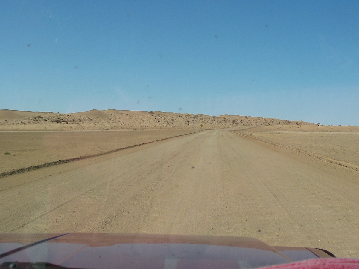
Birdsville Track
It was a 460km drive to Claytons Bore and we got there just on 4.30pm. We had lunch along the way and collected firewood. We had a lovely tub in the spa at Claytons and I rang Ruth to give her an update on our position and then Gina at Warraweena to say that we would be there the next day. It was slightly overcast and for a short time we thought it was going to rain when about twenty raindrops fell from the sky. We had a lazy start to the following day with breakfast and I went for another dip in the hot spa that bubbles forth artesian waters.
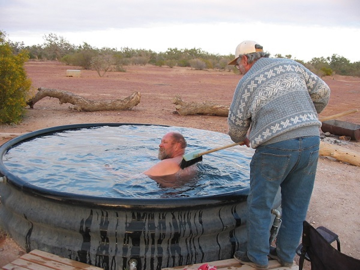
Claytons Bore Spa
We chatted to other campers about this and that and then set off to Marree after signing the visitor’s book and donating some funds for the upkeep of this great facility. A fierce wind sprang up and soon we were driving into a dust storm. Road workers were completing the all weather sealing of the last 50km of the Birdsville Track to Marree. We stopped and had a quick look at the Lake Harry plaque, which depicts a courageous but failed attempt to grow dates in this barren area. At Marree we drove to Hergott Springs (the original name of Marree), which lies 4km out of the town.
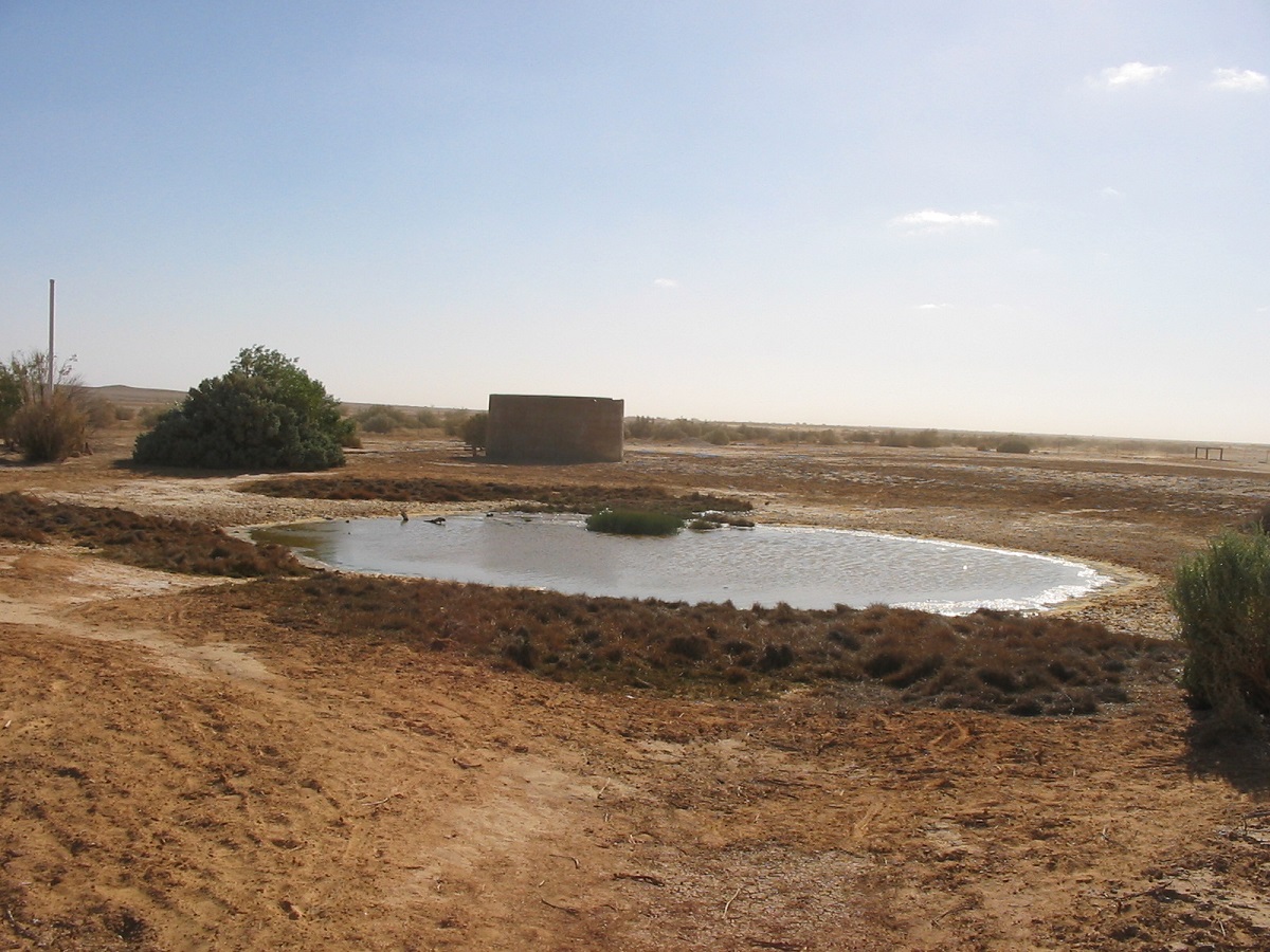
Hergott Springs
Then we headed southeast into an endless dust storm. Dropped in to Farina to have a look around in some of the old buildings, as Milton had not been there before. Then we pushed on to Leigh Creek and did some shopping. On the way to Warraweena we stopped and had a cuppa with Keith Nicholls at Beltana, the former owner of Warraweena Station, now in his 87th year. We were afforded the Old Warraweena Homestead as accommodation for the night. We had tea with Stony and Gina and we all had a sip of my specially imported African “Barbed Wire” Moonshine.
I refuelled in the morning and found one trailer tyre looking airless so I changed it. Then Milton and I did a few small jobs around the yard before getting away by midday. I put more fuel in at Hawker and we arrived home at around 4.30pm.
********************
It had been an interesting and rewarding trip to the Tropics and back again. I had seen some new country, some old country, and had caught up with friends. I covered around 10,000km of driving distance and the Nissan ran faultlessly.
Self
The rest of the year passed without too much ado. Judith was enjoying working as a Councillor for the Peterborough District Council and tripping around and going on junkets and meetings in Whyalla, Port Augusta, Adelaide and Murray Bridge. I concentrated on finishing the outside walls of the house and working on my four-wheel drive and trailer remote camping set-up.
As it happened Judith had a knee replacement in 2007 at the Port Augusta Hospital and then I had to be nursemaid and cook and that did not work out all that well as Jude got up after 7 days stating that with my cooking we are going to starve. Seemingly she had no pain and within six months she had recovered from her operation.
I started in the New Year to discuss a trek through Aboriginal lands, the Tanami, Gibson and Great Sandy Deserts. There was input from various stakeholders and a close friend said that he would contact the Aboriginal Community for access. What happened next was that my friend, who had a short fuse, lost his temper and words flew there and back and, in the end, we missed out on permissions. He then, as well as three others, pulled out of the proposed trip. I asked another bloke to see if he could get a permit and he did just that and then got if from the government department who gave out permits. Then two unknown travellers asked to join in and I said OK. One bloke was great but another couple we problematical. Every time a mate asked if he could bring a friend along, I always had to ask if he had any bush experience. The answer was always in the affirmative and then the person turns out to be a dimwit as far as cross country driving was concerned. Judith decided to sit this one out.
Labbi Labbi 2008
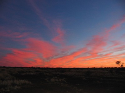
Desert sunrise
I had another trip planned for 2008 and was busy making an application for a permit from the Central Land Council when other participants became involved and the whole thing fell in a heap. So we applied for permits to enter the Central Reserves in Western Australia instead and this went without a hitch
Friday 16 May 2008
We finally got away from Alice Springs at 1.00pm.
Convoy of 4 diesel vehicles:
Myself and Bill, in a Nissan GQ, towing a Modern Offroad Trailer. Trip Leader
Peter and George in a Nissan Navara
Rob and Carol in a Landcruiser Troopcarrier
John and Suzette in a Landcruiser 80
It was an easy strip bitumen run, to the Papunya Road. Then we were on to the gravel road and corrugations. I decided on an earlier camp about 15km west of Papunya. We collected firewood and then Peter brought a kite out from somewhere in his ute and we had a great time playing with it in the stiff breeze. We socialised around the camp fire and went to bed before 10 as we needed to get up early the next morning so as to be in time to refuel at Kintore.
Saturday 17 May
A strong wind came up during the night but calmed down again. I got everyone up at 5.30am and we were on the road within an hour. The road was a bit smoother to Kintore (less traffic) but still with some bad patches of corrugations. Stopped at Sandy Blight Junction to look at stuff and take pics and then proceeded to Kintore for diesel and snacks. We had breakfast at the NT/WA Border. At Mt Webb I missed the faint track heading north but John found it. We then drove to a water tank, which was empty, courtesy of a bullet hole in the side. While we were mulling around the tank a battered Toyota drove up. It was packed to the brim with locals who were looking for water. We gave them 2 litres from our supply. They drove off. We then went looking for a native well marked on our maps but failed to locate it. We decided at a later time that the native well was the water tank. We found a track heading north for about 20km and then came across a much better road heading East/West. John followed that to the east and reported that he had found a decent campsite. It looked as if locals had camped there recently. We spotted a fire burning to the northwest about 20km away. I had to air down to 15psi as I got bogged on a dune crest. In camp I changed the scalloped spare tyre for the front one to get more wear out of it. An east wind is still blowing gently. In bed by 10pm
Sunday 18 May
Cooler morning. Late start. Drove east along the track and over some dunes. Identified some samphire plants. Then visited Lake Mackay and spent some time taking photos and enjoying the atmosphere of this vast salt lake. The track then led off along the western perimeter of the lake through the samphire and eventually turned west across small dunes. Drove past some beautiful stands of Desert Oaks. We came across two wrecked 4wheel drives. One Nissan GQ and one Toyota Troopcarrier. Later we approached an isolated tank-stand, which we have decided is Dwarf Well. There was a hand pump which pumped clean, fresh water and someone had left an old enamel bath there. Firewood was gathered, the old bath propped up on some anthills and a fire lit. I was the first to sample the bath but had to put my rubber floor mat in the bath as the base was too hot to sit in. There was much hilarity all around. Hope nothing turns up on Youtube. Peter found a grinding stone. Today we saw Willy Wags, Emu Wrens and some desert birds.
Monday 19 May
Did not sleep well as I couldn’t get comfortable with a pain in my side. Probably muscular. Bacon on toast for breakfast. Packed up and were on the road by 9.30am. Bill drove the morning session. About 12km north we struck out over the Spinifex to the east looking for Dwarf Well as marked on the map. We did not find it and later on decided that the tank stand was Dwarf Well. We came across tracks made by the Victorian Toyota Club in August 2007 led by Ron Smith, but they faded away and we made our own tracks. I am leading the trip on a bearing of 62 degrees and heading for Koarla Rockhole. Not all that harsh driving at the moment but driving in 2nd Low Range at 1800 revs. Have to push down a lot of scrub. Came to a clearing of gibber stones in the Spinifex with lots of wood around and decided to camp. Had a snooze in the shade of the GQ. Refuelled. Cleaned the spinifex grass out from the chassis. Organised a stew including half a cabbage. Cooked the lot. Tasted good. Others went chasing after a BooBook Owl for photos. In bed by 10pm
Tuesday 20 May
Up at 6am and got underway by 8.30am. Hard driving into the sun. Lots of small anthills and dense Spinifex makes driving hazardous. Doing about 9km/h. Troopy throws an aircon belt. Navara needs some underbody work. All this by 10am. VTLC tracks appear from time to time. Driving through open country and head for pans. Did a bit of bird-watching looking at Hawks and Falcons. Our lunch stop is within sight of the hills containing the approximate position of Koarla Waterhole. Have right hand 20l water container on trailer leaking. Had clipped an anthill. Transfer water to another container. Rear wheel carrier on the 80 seems cracked on one of the braces as it is making a nasty noise. We come to a large pan and I decide to camp for the night. We find some rubbing and grinding stones. The area very dry but must have been good in the ancient times sustaining the Stone Age desert dwellers. Can see hills for our destination but decide it would take too long to get there. Collect firewood aplenty. The cracked wheelcarrier is welded expertly, by John, using two car batteries. Peter gives a nightlong photography lesson to interested parties. I eventually growl at them and send them to bed at midnight.
Wednesday 21 May
Warmish morning. Light breeze. Still about 5km from Alec Ross Range of hills and Koarla Rockhole. Hard going trying to avoid Gidgee stakes. First of series of punctures right at base of hills. Rob pulls stake 30cm long out of tyre. The Navara has two punctures. We are out of Gidgee country but on to loose rocks and shale. I lead the convoy up the side of the hill and eventually locate the rock hole, which is dry. We spend some time there. Bill climbs to the top of the range for some exercise. It is heavy going now trying to get out of the range valley. Natmap Raster Mapping not all what it is cracked up to be. We try and rely on John’s Satnav pictures of the area. Lots of small trees and shrubs, then rocky climbs and then very soft sand all intermingled. Have to back away from deep gullies. Trying to ascertain just where to drive to get the best traction and move forward without damage. Hard to interpret mapping. We are on a bearing of 33degrees from Due North. Then a twig dislodges my alternator belt. Rob and John and George help out and we replace all the belts. We also fit a chain hanging down from the bulbar to try to strip the foliage away from the front of the GQ. Rob ties up loose wires underneath with cable ties. We come out of the shale country and right into soft sand and a largish dune stops us and while we are stuffing around trying to get over the dune, Peter discovers some spear sharpening stones. And then we discover more artefacts and so we spend some time there taking photos. I have my tyre pressures down to 13psi now. Driving over Spinifex moguls making for a claypan on the map. George and I spot a Brown Snake but it disappears under the GQ. Check underneath but it appears to have vanished into the Spinifex. We get to our destination by 5pm and set up camp. I get under the GQ to clean out twigs and grass and tighten nuts while I am there. Also nip up the U-bolt nuts on the trailer. I call Jude on the Satphone. She says its freezing in Alice Springs. We are in shorts and T shirts.
Thursday 22 May
Another beautiful morning in the Dreamtime. A slight breeze is wafting from the east. I take a walk on the pan and discover some petrified wood. I can just imagine this area in an era long ago with water to sustain the inhabitants. I am aiming to get close to Redcliffe Pound and the Hidden Basin today. Trouble is the day always dishes something else up in this journey across trackless country. An easy run along the dunes in the early morning but then we had to make headway across the sand again. The Navara bogged and then I bogged to the chassis after reversing down a dune. Quick snatches got us going again. We had lunch on a pan under some shady gums. After lunch the terrain became worse with rocky outcrops appearing amongst the sand. I found some strange looking gumnuts on a tree. Must identify them. The Navara destroyed a tyre and later had to be snatched out of a sand trap. I got down to the south end of Brookman Waters(dry) and decided to cross over but bogged the lot in the soft sand. It took an hour of sandbagging and winching to get the GQ out of the mire after disconnecting the trailer. John then hooked the trailer up to the 80 while I went looking for another crossing spot and got bogged again. Even with pressures at 10psi the sand was too soft. After more recovery and some road building we made our way back out from Brookman Waters and into the Spinifex. Just on dark I found a gibber clearing with some dry wood close-by and we made camp. What a bugger of a day. We only progressed 29km for the 9 hours of driving! More tyre repairs around the camp-fire. George and Bill cooked the tucker and we survived.
Friday 23 May
A magnificent sunrise this morning through strata clouds. Got going reasonably early over rough rocky patches and the ceaseless Spinifex. I drove back down in to Brookman Waters along the samphire edges but took a quick exit when the tyres started to splatter mud about and clawed my way back up into the rough stuff and warned the others over the radio. I found an easy crossing eventually using a camel pad. Soon after George spotted a cairn on a hill and we drove over to investigate. But there was no message in a bottle. Now we were able to skirt the open plains, which contained streaks of salt, along a range of stunning rock outcrops. We came across some very old and broad wheel tracks, which could have been made by the International Truck, which was driven in this region during the 1957 expedition. We saw heaps of camels along the way as well and they all looked pretty healthy. Further along we came across two old fuel drums rusting away on a stony rise. Bill had to lift one up to see what was underneath and a fat sand goanna ran out and into the Spinifex. After some digging I was able to catch it and hold it by its tail while photos were being taken. Goanna did not like this and lunged at my finger and I let go of him quick smart. From there we had to cross a few serious gullies and careful planning as to approach and departure angles had to be seen to. We ended up near a sharp rising hill along what looked like a ‘Roman Road’. It is just a natural strata of long square stones but laid out like it was forming a set road. I climbed the hill slowly on foot to have a look over Redcliffe Pound, so named by Michael Terry, on his 1932 expedition to these parts. I was even slower going down again being careful where I placed my feet on the loose shale. We decided to camp amongst some gums along Nicker Creek opposite this hill. Camels dispersed as we drove towards them giving us looks like we were some alien invaders. Maybe we are, to them. It was a good campsite with lots of wood and a clearing made by camels and the occasional flood. Now we turned our attention to finding Labbi Labbi Rockhole. I rang to speak with friends via the Satphone. Bill was away playing 4×4 games near Broken Hill and I asked Annette if she could find out the phone number of the trip leader Ron Smith of last years trip to this area by the Landcruiser Club of Victoria. I said I would ring her back in two hours. Annette very kindly obtained Ron’s phone number and when I rang Ron he happened to be sitting at his computer. He in turn very kindly let me have the co-ordinates to Labbi Labbi Rockhole. This has put a whole new slant on things. I do hope there is some water there because we are down to 60 litres after starting with 140. Fuel usage is just as bad as I have used half a tank of diesel for a mere 160km. The GQ has some bad scratches. The 80 and the Troopy are doing well with their paint on film to protect against scratches. A Dingo came close to camp to have a look at us but trotted away when he got a whiff of humans.
Saturday 24 May
Another spectacular sunrise today with clouds displaying the changing pink and red colours. Weather is still mild with no wind. After breaking camp we drove in a southerly direction and eventually through a gap in the ranges into Redcliffe Pound. The going was rough with lots of small gullies to cross and once again trying to avoid the Gidgee. Ron Smith had mentioned that the Rock Hole has an unusual shape and I was looking out for something unusual. Close to where the co-ordinates matched there was a small gorge that looked like a likely place, I pushed on however to the right co-ordinates but there was nothing there. John radioed back that they has walked up the gorge and that Labbi Labbi Rockhole was in fact, at the head of the gorge. The co-ordinates were only slightly out. In the mean time Bill had crossed over the range and I had to wait for him to return. Camels had made a pad into the rock hole and it was a well-beaten track. I was surprised to find that the water was not as fouled as it might have been. Bill and I cooled off in the very cold waters of Labbi Labbi. We all collected water to top up our supplies and everyone who wanted to had a hot shower that night. The rockhole is down to about half of it’s capacity. I found some grinding stones nearby. We all climbed the hill at the entrance of the gorge and found a bottle with some notes in it. We added ours. These notes were from the 2004 expedition and that of the 2007 visitors. I added my business card to the bottle before we buried it once again in the cairn of loose rocks. The rest of the day we lounged by the rockhole watching the antics of about 1000 finches diving in to get a very quick drink of water. We spotted Zebra, Double Bar, and Painted Firetail Finches. I set up camp and collected firewood and we all had a celebratory drink after reaching our objective.
The notes from the bottle dating to 2004 as deciphered:
LABBI LABBI BEACON
This beacon, at 21 degrees 35 minutes 32 South and 128 degrees, 46 minutes 08 East (WGS 84)(GPS April 2004) was placed in 1957 by Chris Armstrong, surveyor with Thomson Anthropological Expedition to contact the local Pintubi Tribe, many of whom had had no contact with Europeans. Dr Thomson joined a Dept of Native Affairs patrol for a recce into Pintubi Country (from Mt Doreen Station) in June 1957. The patrol was led by Mr Ted Evans, of DNA, accompanied by, Patrol Officer Jeremy Long. Mr Bill Braitling of Mt Doreen also accompanied them. The Thomson Party then returned to Labbi Labbi receiving an air-drop of fuel and other supplies from the RAAF. The party was here from 30 July to 25 September ’57.
Present for all this time was
Dr Donald Thomson, Anthropologist of Melbourne
Bill Hosmer, Dr Thomson’s assistant of Melbourne
Peter Fraser, Anthropology student of Long Island New York USA
George Tjapanangka, Pintubi man from Mt Doreen
Barney Tjangala, Walpri man from Mt Doreen
AND: Some 18-20 Pintubi tribal people
This note was placed here by Chris Armstrong in April 2004 when the following party visited this area at Easter from 10 to 13 April 2004
Bob, Kathy, Ian & Jan Hancock of Sydney
Stuart Kostera & Meg Carty of Perth
Ron Molloy & Shirley Taunt of Melbourne
Tim & Tienna Whitford of Melbourne
Chris Armstrong of Melbourne
Signed J.C. Armstrong
Sunday 25th May
Another beautiful morning. Flies are a bit pesky though. We walked up to the rock hole for the last time and topped up our water containers. We were under way by 10am but did not progress far as I nosed the GQ into an obscured gully. It took all the other vehicles to be involved in the recovery with winches running through snatch blocks. The GQ was recovered after about half an hour and after disconnecting the trailer once again. The result was a bent left hand running board. I decided that we had to leave via our tracks from yesterday. The drive was rough once again with many gullies to cross and me backing out numerous times. We came across some old wheel tracks again but soon after they disappeared. At 4pm I found an opening in the Spinifex but the ladies said that there wasn’t enough privacy on the open plain and so another campsite was selected close by. I removed grass from the chassis and the radiator screen again. George cooked the tucker tonight and it was surprisingly tasty. Early night.
Monday 26th May
I appointed John and Suzette as Trip Leaders for the day and suggested we head northeast from our current position. John however wanted to follow the tracks made by the 2007 trek. I went Tail End Charlie. We inevitably found ourselves on the salt before long and I wasn’t happy. But I had to give John his head. Around one corner close to the hills I was warned over the radio that the salt might be slippery. Both the GQ and the trailer sank as I reached that point and I kicked the old slug in the guts and crawled out with all the left hand wheels covered in wet stuff. Shortly after that John called the salt lake track off and we had to find a way over the ranges. We thought that we had seen faint tracks going up the hill and we followed in that direction. I had to do a swift gear change as the GQ was running out of puff in 2nd low near the top. Then we meandered along the top of the range for a while getting blocked by various deep gullies and having to back out, before John found a way down. Our Natmap Raster mapping was letting us down again as sand dunes were in places where they weren’t marked on the map. One map stated that the average height of the sand dunes should be 5 metres while one dune was more like 25 metres in height. John started crossing the dunes in a northerly direction but I saw trouble looming for the GQ and the trailer and opted to drive down the swale in an easterly direction over the Spinifex moguls. It was hard going and there were lots of large and smaller anthills to contend with hiding in or behind Spinifex clumps. I took a photo of the GQ next to one of the Giant Anthills. We eventually reached the Samphire on the edge of Lake White and found the 2007 trek tracks. We sped along for a while staying in radio contact with the others who were making heavy weather across the dunes. The GQ is overheating today and I removed some of the screen netting at our lunch break when we met up with the rest of the convoy. Our track took us along the fringes of the salt of Lake White and we had to be careful not break the crust in places. Where rivulets or gullies appeared out of nowhere we had to resort climbing over small dunes to gain access to the right route again. John found a good sheltered place to camp for the night and we all settled down again with Peter repairing yet another puncture. John gave him multiple lessons in taking the tyre off the rim. Peter worked for this education.
Tuesday 27 May
This morning it was cooler but the day soon warmed up. I reorganised the seed screen again. I appointed Rob and Carol Trip leaders for the day and away we went. I have 75 litres of water left after topping up at Labbi Labbi. The route still took us along the permitter of Lake White and then some cross country driving again. We came upon a pure white salt lake and many photos were taken. We dug down 100mm to find the salt still continuing down. After crossing another dune, which lay in our path, I saw that the right rear tyre was flat. I had staked an MRF, the first, since fitting them, 30,000km ago. We eventually got out of the dune country and around the top of Lake White. We crossed in to the Northern Territory and then back to Western Australia getting around a hill. The drive improved a bit. We came across the 2007 tracks from time to time and followed then until they disappeared again. Driving north along the edge of Lake Dennis the welding on my trailer’s canopy frame gave way. We stopped and disabled the lot with the help of a generator and an angle grinder. We found some lazy camels on the plain and chased them for a short while for amusement. Then we followed a track through a minefield of anthills of all shapes and sizes, to the top of Lake Dennis. There, a fresh water billabong, fed by Kersh Spring, beckoned us for a lunch stop. Further on, the track disappeared again when we approached Kersh Spring and we found ourselves entangled in some old fencing wire, a relic of a working station many years ago. There was a herd of wild cattle nearby. After scouting around for a few minutes we found the track again and made for Carrols Bore and another unnamed bore and both were dilapidated and in ruins. The track was very over grown and the vehicles sustained even more scratches. Eventually we could see Lake Jeavons in the distance and what looked like water but we have been deceived by mirages before and remained sceptical until we got close. Rob found a gully to drive down towards the lake and we were pleasantly surprised to come out on the shores of this fresh water lake. When I drove up to the proposed camp area I could feel that the shoreline was unstable as my narrow wheels started to sink. Everyone helped frantically to unhitch the trailer so that I could turn around, re-hitch and then make for drier ground. After setting up camp I gave a lesson in rim splitting and puncture repair and afterwards went and cooled off in the lake for a cold, no-soap wash! We were surprised to see the many dead Ti Trees and the myriad of spider-webs, which were woven through the branches. It turns out that many midges live along the edge of the lake. In the evening a breeze springs up, probably quite regularly, and the midges are blown into the spider webs. The Golden Orb Spiders then have a feast.
Wednesday 28 May
Early rise and the photographers were out there taking shots of the Black Swans and many ducks and other water-birds. The track to Ngulupi was very overgrown and more scratches were endured by our suffering vehicles. At Ngulupi we wondered at the destruction of a once operating cattle business enterprise. The Palliotine Missionaries built this station up from scratch and had a thriving business up and running when political change came about and they were ousted from the station. After that it was downhill all the way and the place lies in ruins although there are fresh grader works around the homestead and roads. We intended to access the Tanami Road via Tanami Downs in the NT but although the maps(both Hema and Natmap), show a track, it is virtually non existent. So we took the road to the Balgo Community in the west. The graded road deteriorated the closer we got to Balgo. Maybe the driver just wanted to get home. At last it was open road after Ngulupi and we could get speeds up to 80kmh. At Balgo we bought fuel and snacks and made phone calls via Telstra NextG, and then set off for the Tanami Road. One more wheel change for Peter when we got there, and then it we drove at a maximum speed of 80kmh heading to the Stuart Highway. We all noticed that when we stopped at the WA/NT Border the map showed that we had passed the border about 3km before. I must ask the mapping people about that one day, if I remember. Road was pretty ordinary in places not having been graded for a while. We dropped in to look at Rabbit Flat and buy some supplies and then 3km south of there I found a place to camp, just on sunset. Refuelled and changed a wheel over. An early night for all.
Thursday 29 May
We were on the road by 8.30am driving the last stretch to Alice Springs. I kept on stopping to either look at something on the GQ or trailer and so I let the others pass and head off. Peter and George stayed behind us travelling back out of the dust. Spoke with a few travellers via radio. Right in the middle of nowhere about halfway between Rabbit Flat and Yuendumu there is 7 kilometres of bitumen road servicing absolutely nothing. It even has centre and line markings. Refuelled at Vaughan Springs Station turn off where three Roadtrains full of cattle were idling. They took off before us but we gave them plenty of time to get ahead and had a spot of lunch in the mean time. We caught up with the others at the Yuendumu turn off and then caught up again at Tilmouth Well Roadhouse where I had to buy some fuel again. We arrived in the Alice at 4pm, said our goodbyes and each one went their separate way.
It has been a good trip. Hard four-wheel driving, diverse country and new places explored.
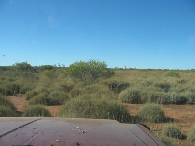
Endless Spinifex
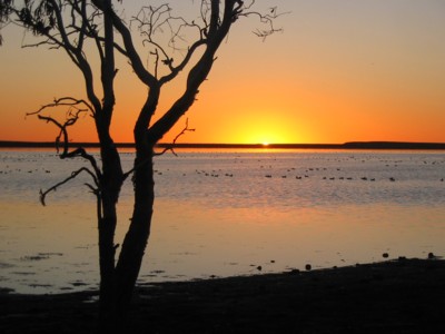
Lake Jeavons
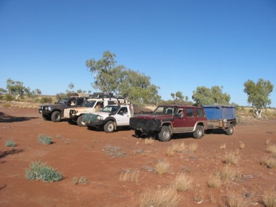
Vehicles
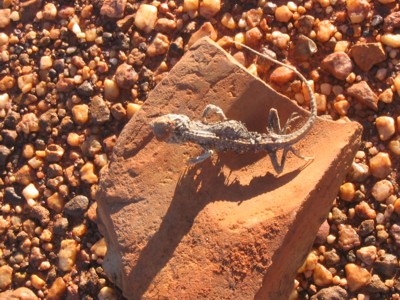
Dried out Lizard
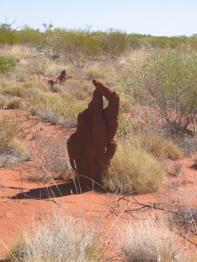
Finger crossed

Endless Spinifex
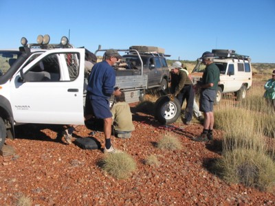
Changing tyres
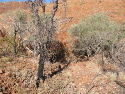
Koarla Rockhole

Alec Ross Range

Spear sharpening stone
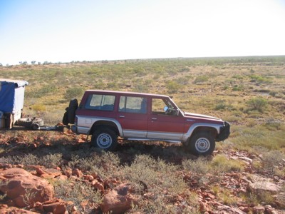
Coming off the range
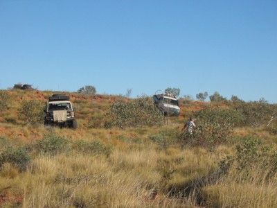
Picking a route

Bush repairs
Fossilised Frog
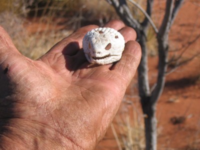
All that is left of me
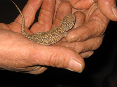
Night visitor
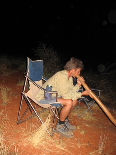
Didgeridoo player
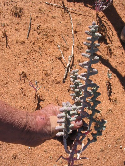
Weird Samphire

Lake Mackay
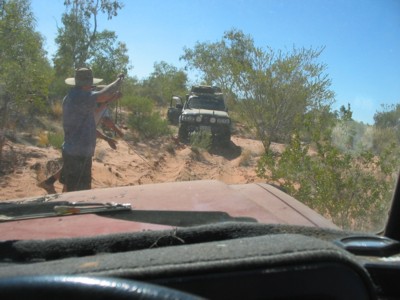
A winch job

High vantage
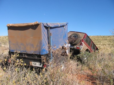
Oops
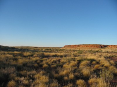
Labbi Labbi Valley
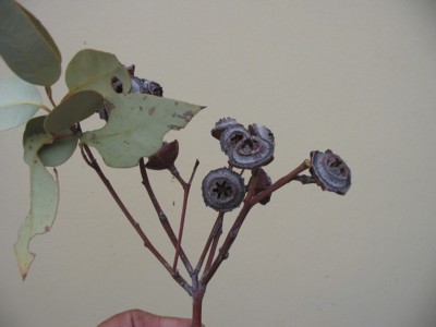
Rare Giles Mallee
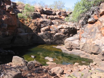
Labbi Labbi Rockhole
Western Australia Deserts 2009
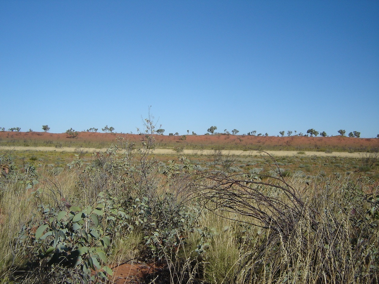
Great Sandy Desert
I had gathered by invitation, a group of friends and acquaintances, to join us, that is myself, my wife Judith, and Jeddah our dog, on our winter holiday and for the first month, as I had planned an adventure to very remote and isolated places over a three month period.
We set off as a group of six vehicles from Alice Springs at the beginning of June and travelled in the West Macdonnell Ranges Valley until we ran out of sealed road a short way past Glen Helen Resort. From there the road was corrugated and rough in places due to recent rains and lack of road maintenance. Our journey took us in the back way past Haasts Bluff to the Papunya Road through some scenic country, which was, as luck would have it, hidden from view, due to low cloud formations. Our first camp was along the Gary Junction Road in a clearing I had camped at before in 2008. It was a long night as I had been nursing a sore tooth and had visions of pulling it myself by the side of the road (something I had done before when in crisis).
The following day we refuelled at Kintore Community and I made a beeline to the Clinic there for some expert advice and good medicine. The care was good as within three days my tooth troubles had disappeared.
We were making for the geographical feature of Mount Webb in Western Australia where a bush track links to what is known as an Aboriginal Business Road which connects Kiwirrkurra Community with Balgo Community. I had obtained the necessary permits to traverse this aboriginal land for the duration of our transit to Balgo Wirruman Community. We camped in a clearing in a swale amongst the dunes in the late afternoon. Our oeaceful surroundings were disturbed by a large helicopter flying by and circling our camp out of curiosity. It turns out that there was some mineral exploration going on nearby on the fringes of Lake Mackay.
We drove via the shores of the vast salt expanses of what is known as Lake Mackay to modern travellers and Wilkinkarra to the Pintubi Aboriginal Group.
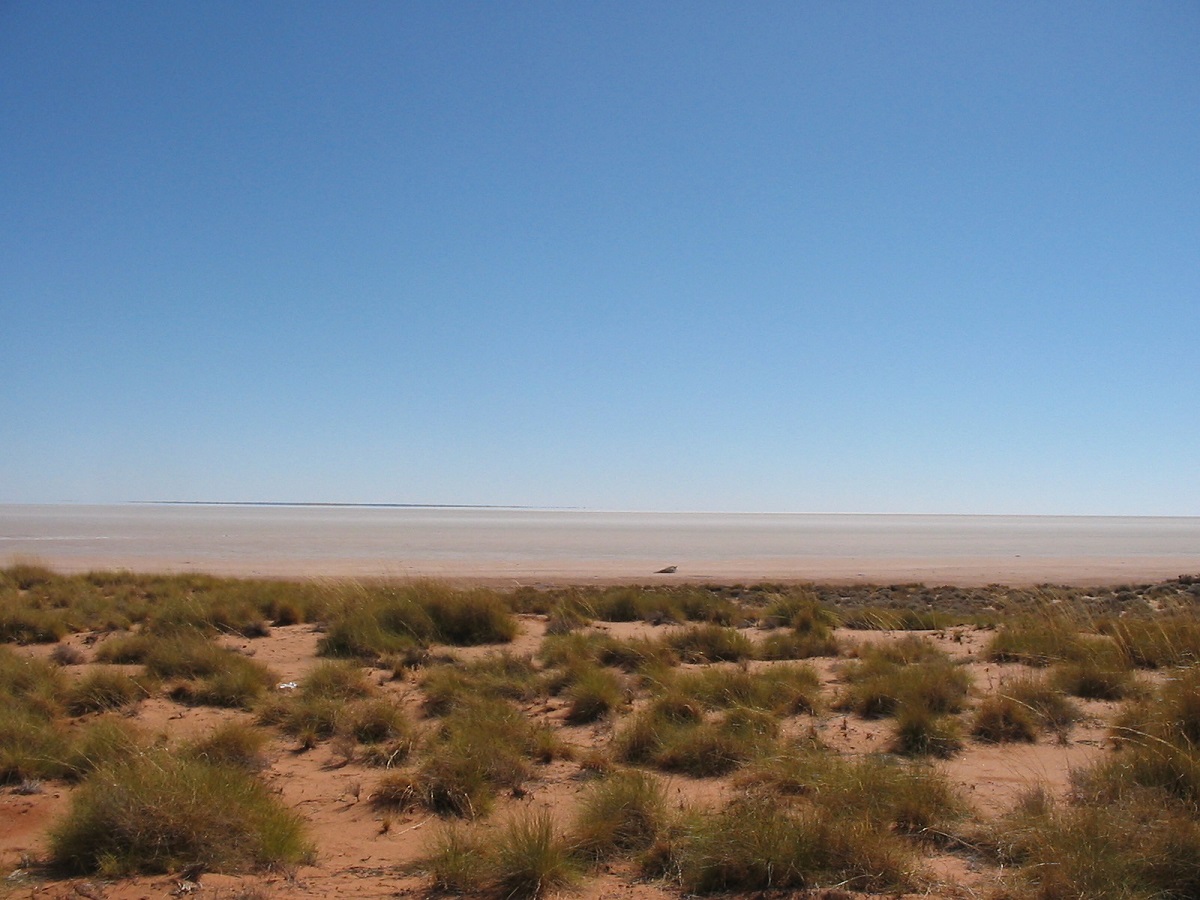
Lake Mackay
Our next camp saw us reach what we call Dwarf Well. The original Dwarf Well is located some distance away to the northeast. It was so named by David Carnegie in his wanderings across this land in the late 1800’s. He had ‘captured’ a diminutive aboriginal man who was then coerced to lead him to water. In a small depression they found some water and so Carnegie named the water hole Dwarf Well in honour of his captive.

Dwarf Well camp
Our camp was set up some time ago with a water tank and solar pump to facilitate drawing water from the well. It was part of the water bores drilled by the government along this route so that there would be life saving water supplies for those travelling in these remote areas. A back-up hand-pump was also installed and, as the solar unit was no longer working, we able to draw the necessary water. Some of the group did washing of clothes to get them dry before the rains came. The weather looked ominous and soft rain fell during the night making things damp.
The following morning we set off along a track, which, although it is supposed to be a connector track between Kiwirrkurra and Balgo Communities, it is not well used. This is quite feasible as the distance between fuel outlets is around 450km and the rough nature of the track would mean higher fuel consumption and the need to carry extra fuel supplies. The countryside varies from low scrub to quite dense grevilleas and desert gum foliage. Due to recent rains the track was very muddy in places and we struggled through some soft patches.
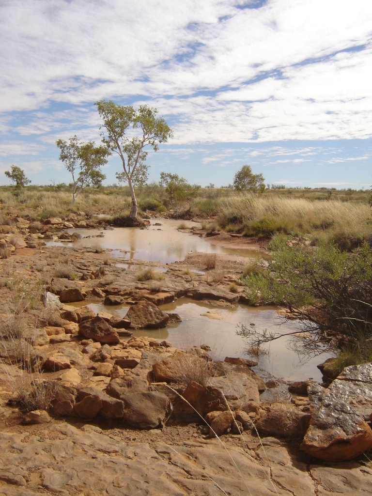
Water in the desert
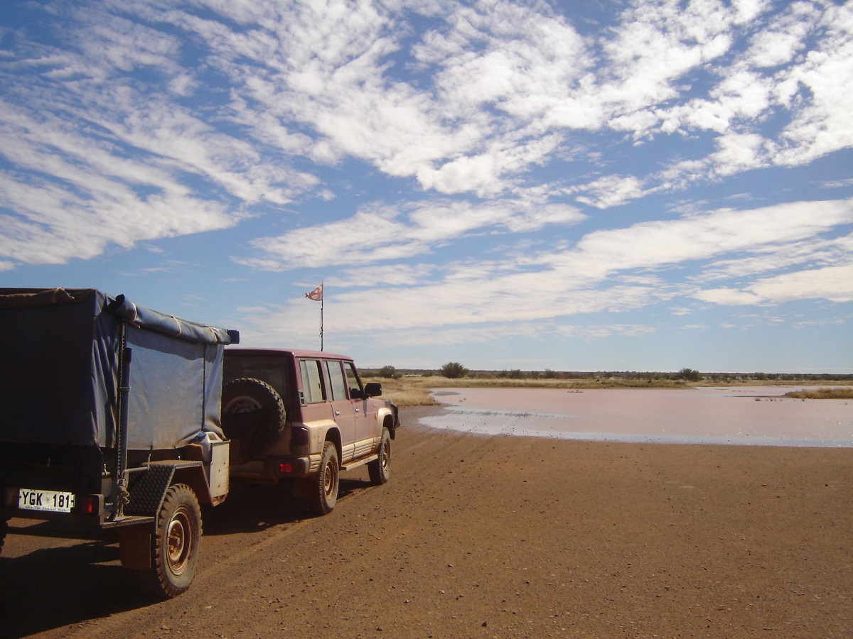
Water to cross
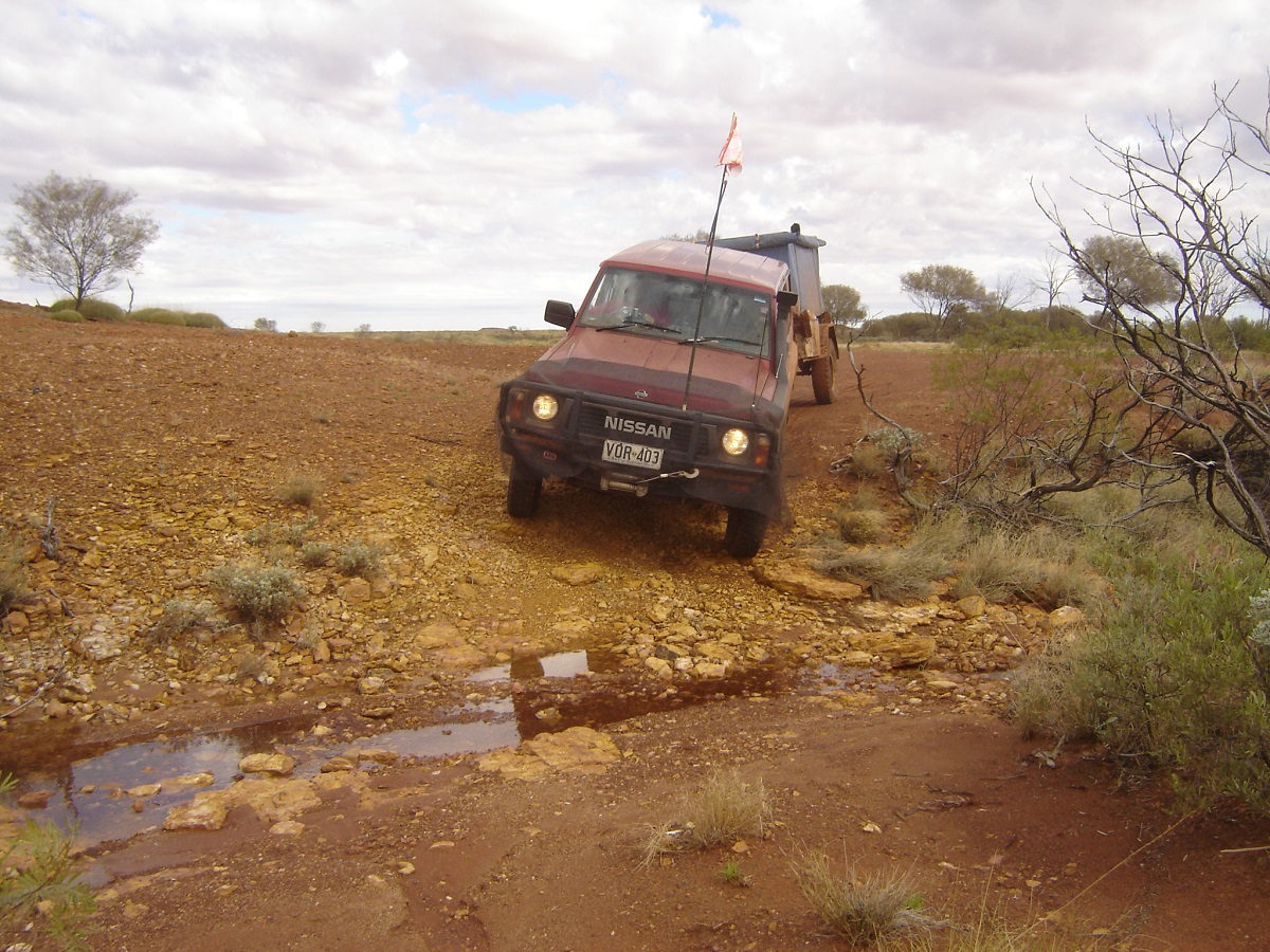
Crossing a creek
Our journey to Balgo Community took us over two days along tracks that were not marked on our maps. We visited three outstations, which have been abandoned totally after enormous amounts of effort, and money has been spent to set these communties up. We also made our acquaintance with a Black Headed Python, a Woma Snake a King Brown Snake and an Itchy Grub Train
Itchy Grub Train
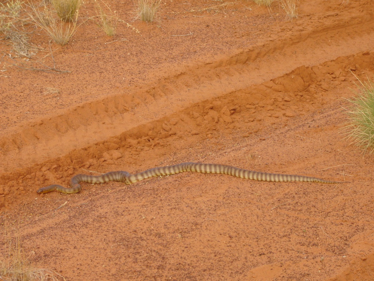
Woma Desert Python
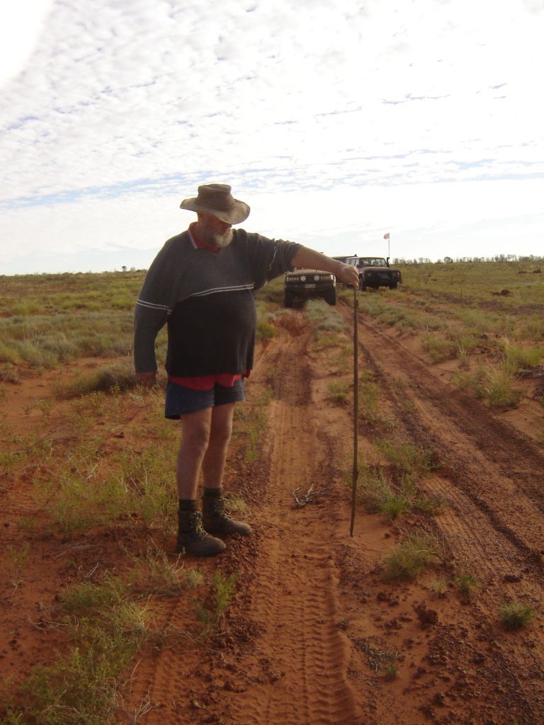
Dead King Brown
We passed through Balgo Community on a Sunday and all was very quiet there. Our destination was Mulan Community within Paruku Indigenous Protected Area. We were lucky to find the Store Manager at the Community Store and he organised for us to buy fuel. Then we were given camping permits by the local ranger at no extra cost and a local bloke by the name of Marc Luther, kindly showed us the ‘short’ route to Handover Camp Site. He then collected some good wood for our fire for which we were very grateful.
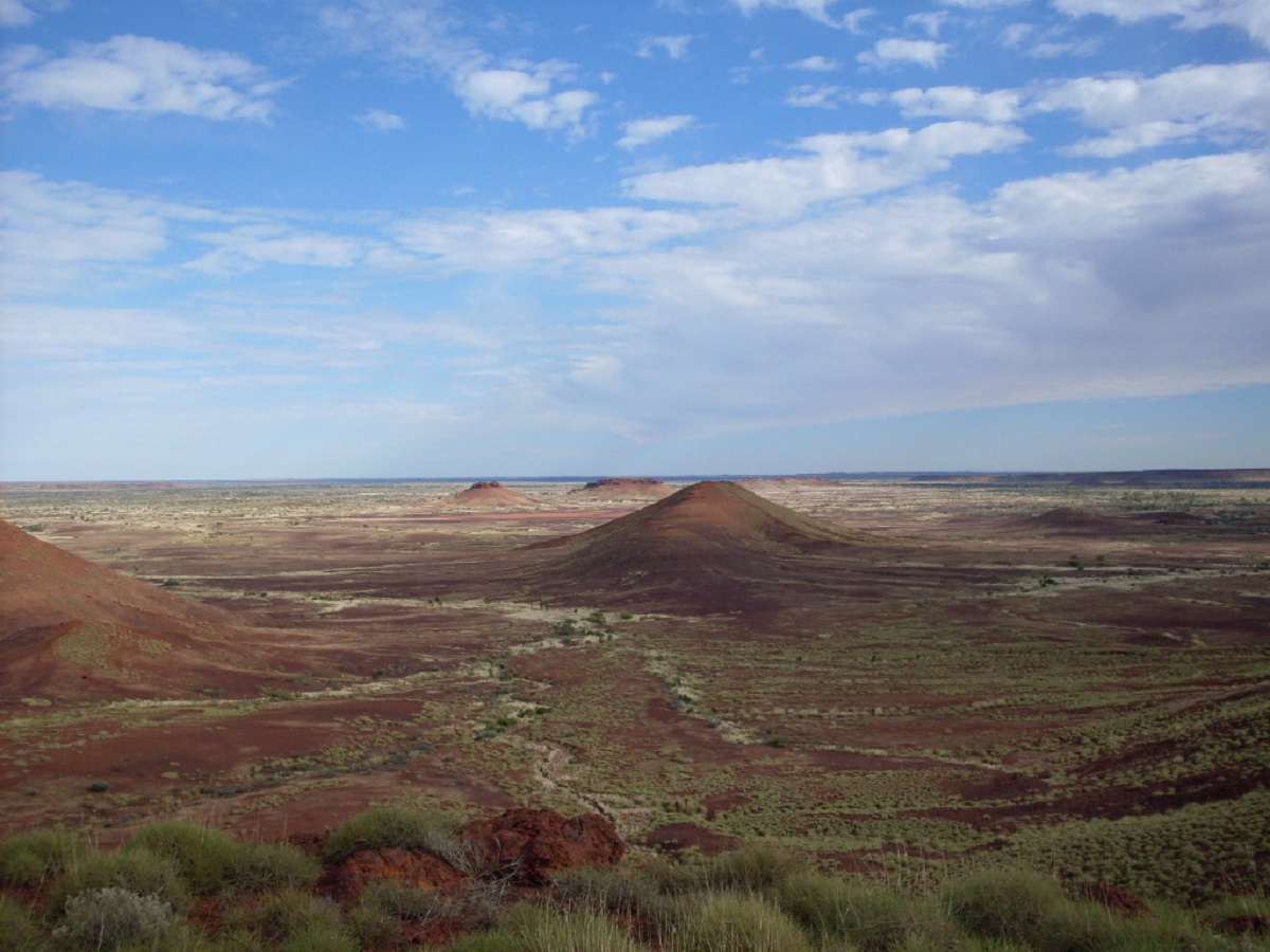
Palotine Hills near Balgo
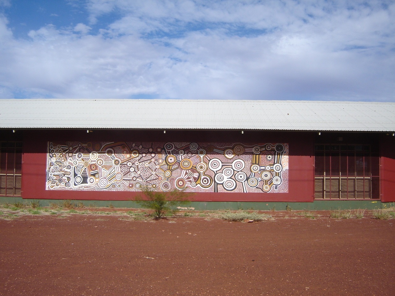
Balgo Mural
Handover Camp site lies on the banks of Lake Gregory but due to a low rainfall the past wet season, Lake Gregory is in a dry state and the shoreline was close to a kilometre from our camp. The camp is surrounded by Snappy Gums and the scenery is great. Wild brumbies roam the area and we saw quite a few Brolgas and Black Swans in the vicinity of the lake.
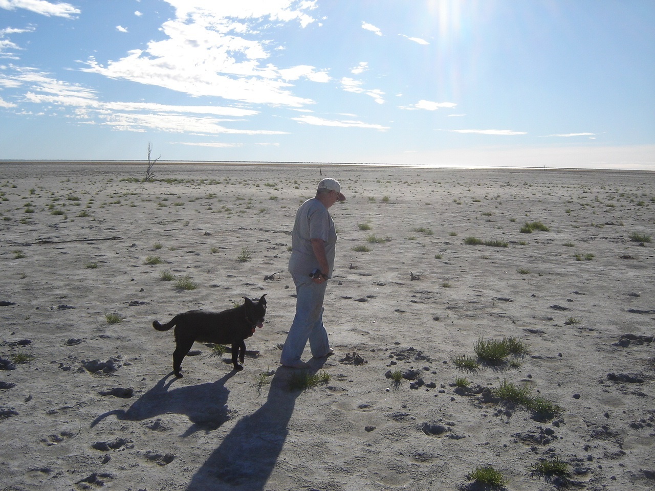
Lake Gregory
Our next destination was Well 50 on the Canning Stock Route and Gulvida Soak. On a previous visit we had wandered in to the small Gulvida Gorge, looking for aboriginal art as described in a book by Michael Terry in the 1930’s. I took off travelling via the bush as I had done in 1994 only to find that a hard worn track had evolved over the years as far as vehicular access was possible. Oh, well, the joke was on me. In 1994 we located and photographed the art but this time the gorge was inundated with pools of water and we missed the entrance to it. One of our group had vehicle problems at Well 50 with the vehicle refusing to fire up after lunch. The owner and other mechanically minded friends in our group got working on this and after about an hour had the Humvee running smoothly again. All set to go and 50 metres later he destroyed a tyre on a protruding nodule on a dead tree log when leaving the lunch stop. So we waited for the wheel to be changed.

Gulvida Soak
Our immediate destination was Well 46 as I had planned to launch a cross-country excursion to find historical places of significance to the west thereof. The track from Well 50 to Well 49 was extremely corrugated which made travelling at any speed hazardous. We camped at Well 49, drawing water from the well and topping up our water supplies. Tyre repairs followed until after dark. The following day some of the group visited Breaden Hills and Godfrey Tank while we made for Well 46 to do some re-organising of our camping gear, as we had been to the Breaden Hills before.
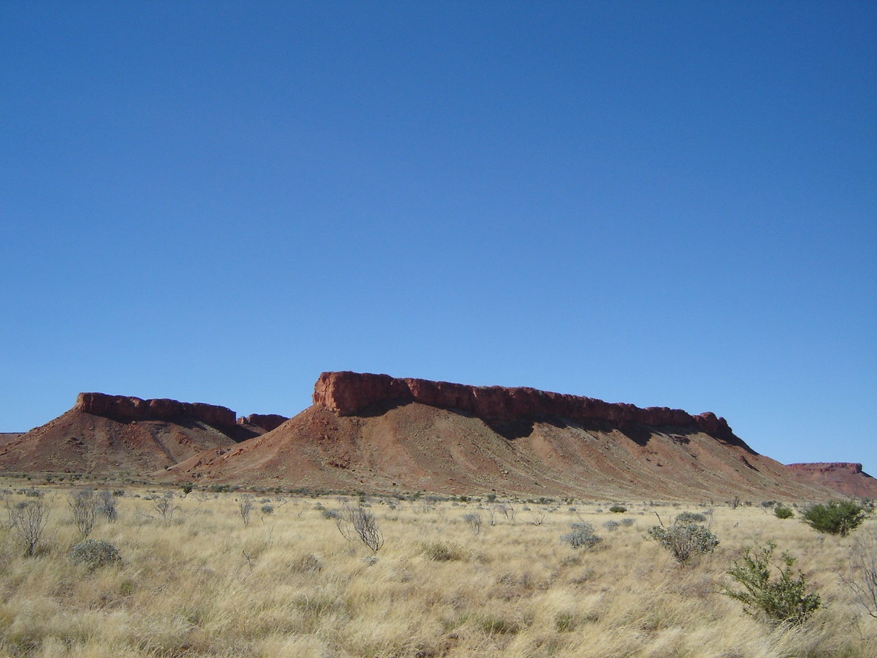
Breaden Hills
Our friends with the tyre problems then decided to leave the convoy to be on the safe side and to meet up again with the group on the west coast.
After Well 46 we set out across unchartered country following Waypoints I had set out on a map. We were heading west with a tailwind, a temperature of 37 degrees Celsius outside, and Spinifex grass clumps and long grass way over bonnet height. The going was hard and after 25 kilometres I called it quits as my old truck’s engine water was boiling. I had underestimated the roughness of the terrain and then I made a decision to try to reach our objective from the south, off the Kidson Track instead. This decision set off a chain reaction into being over the course of the following 48 hours. In hindsight I had prepared my vehicle and trailer for country not dissimilar to the eastern reaches of the Great Sandy Desert where I had travelled before but the country west from the Canning Stock Route had real soft sand and was far harder to negotiate. Over the next short time there were disagreements, personality clashes, unkind and unnecessary words and basic sulkiness between grown-up people which saw to that the group split up and make their own way to various points and including the historic places such as Joanna Spring which I had planned to visit. I had made a great error of judgement inviting some so called ‘friends’ along for the journey! This then became the turning point in our travels where we now travel alone once again as mixing it with other travellers seems to have too many flaws.
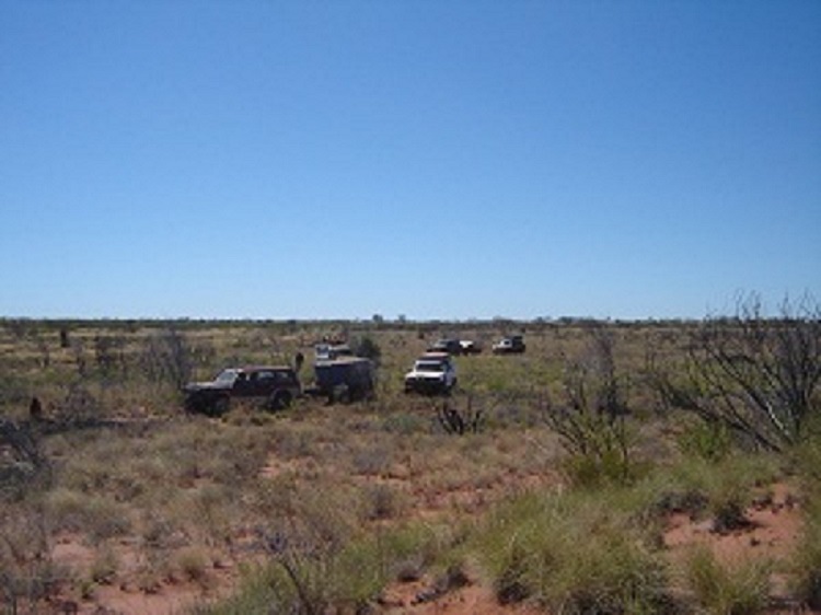
Driving cross-country
I had not envisaged driving the Canning Stock Route to an exit point at Well 33 and a hard trek followed for us, driving an underpowered vehicle towing an overloaded bush trailer. I had to be towed over three dune crests though I had made it over the highest dune along the route near Well 42. . In hindsight my tyre choice in the heavy duty cross-ply tyres, was unsuited for towing in soft sand, and I had some issues with small pebbles getting into the casing cavity and puncturing the tubes. I also had the misfortune of spinning the rims on the tyres when at 10psi and thus breaking the valves off the tubes. Lesson learned that 10psi is too low but that 15psi would be the lowest one could go. But these tyres are necessary when driving cross country so one can find oneself in a no-win situation. You either must be prepared to have multiple punctures and stakes to tubeless tyres every day, or strain your vehicle shod with cross-ply tyres. If I had not had the trailer in tow the cross country going would have been far easier. So my trip to the fabled places had to be put off till another time.
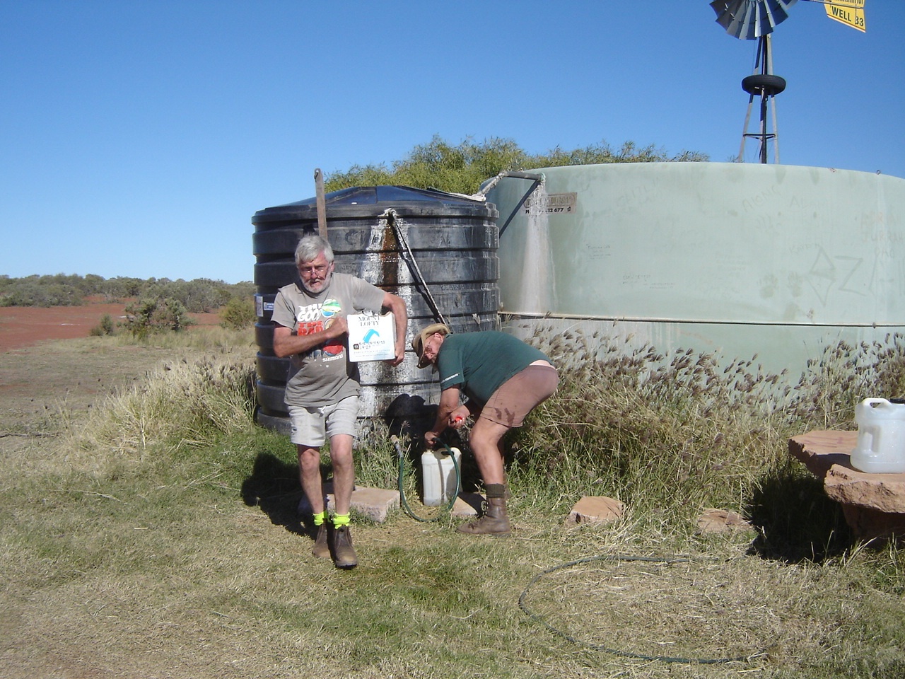
Refilling water containers at Well 33

Well 33 water supply

Well 33 overflow
Our journey took us west from the Kunawarritji Community where we had paid $3.20 per litre for diesel. We spent a couple of days at Razor Blade Bore on the WAPET Road and I drove part of Len Beadell’s Callawa Track, the last track he and his work crew had constructed in 1963. We have decided that WAPET stands for Western Australia Petroleum Exploration Track.
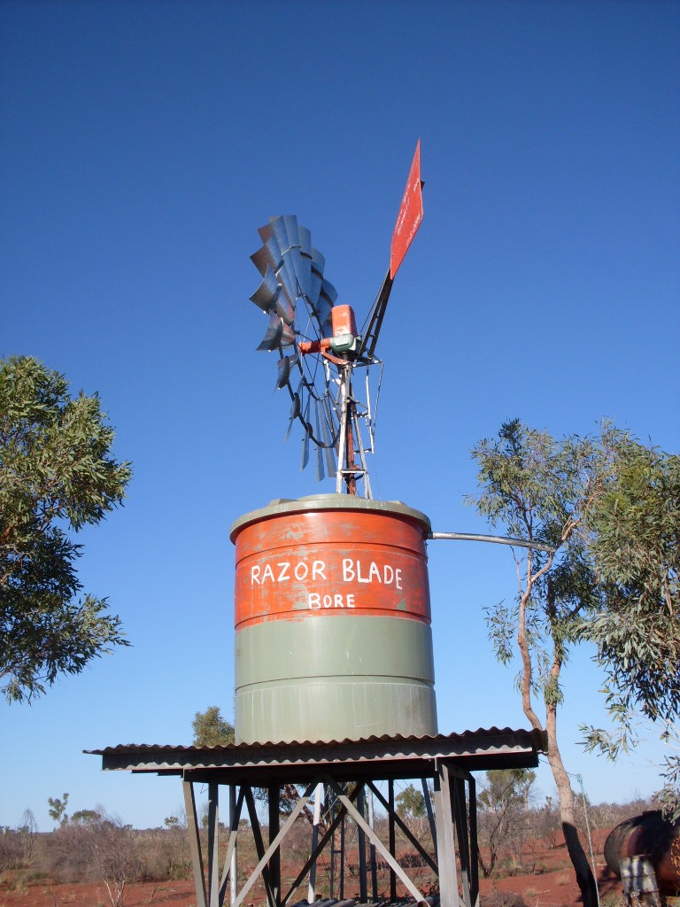
Razor Blade Bore
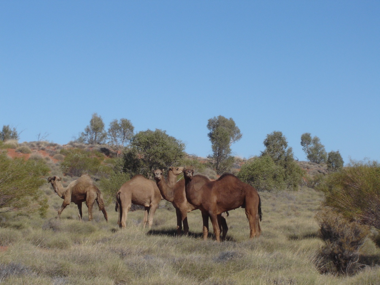
Healthy camels
I had made a commitment to look at some alternative ways of reaching my original objective and we set off from a point on the map to visit McTavish Claypan in the Great Sandy Desert. It soon became apparent that other vehicles had recently traversed this very overgrown track and after some kilometres I came to a recent camp site which gave the tell-tale signs that some of our erstwhile group had forged on ahead to my plotted destination.
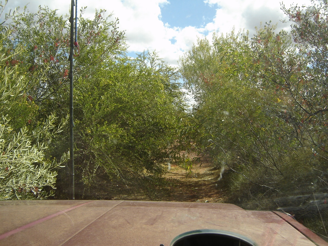
Overgrown Kidson Track
In the late afternoon I decided to call it quits as the going was hard especially with the trailer in tow. We made camp in the only clearing in the Spinifex we could find, just on sunset!
We made good exit from the McTavish Track the following morning and later in the day inspected some rock overhangs to find very ancient and interesting rock paintings. It took a long drive in the late afternoon to find a clearing free of spinifex to camp at. A camel walked by making awful gutteral noises and peering at us. I threw some rocks in his direction and he sauntered off.
At the Telstra Tower, the following day, 12 kilometres from the Great Northern Highway, we parted company with our friends and they sped off north towards their home in Darwin
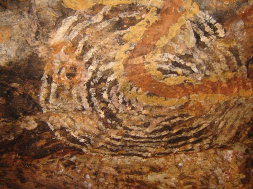
Kidson Track Rock Art
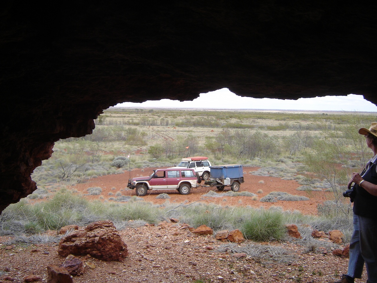
Desert vista
The Pilbara:
We turned south and had some munchies at Pardoo Roadhouse. We were able to top up our water containers there as well after asking permission from the roadhouse owners. There we found out that Cape Keraurden camping area still did not take dogs and we drove further south along the highway. Then the sign at Pardoo Station said Dogs on Leash welcome and we went that way. We spent an enjoyable three nights relaxing at Pardoo Station which is really set up for the fishing fraternity but we enjoyed the drives to sites on the property and to the beach which we had to ourselves each time we went there.
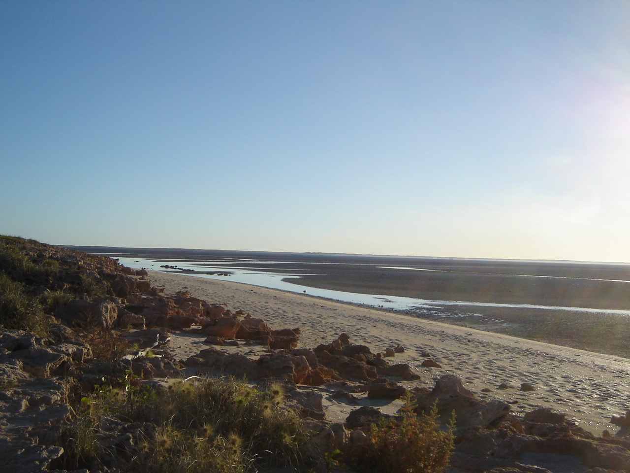
Tide’s out at Pardoo Beach
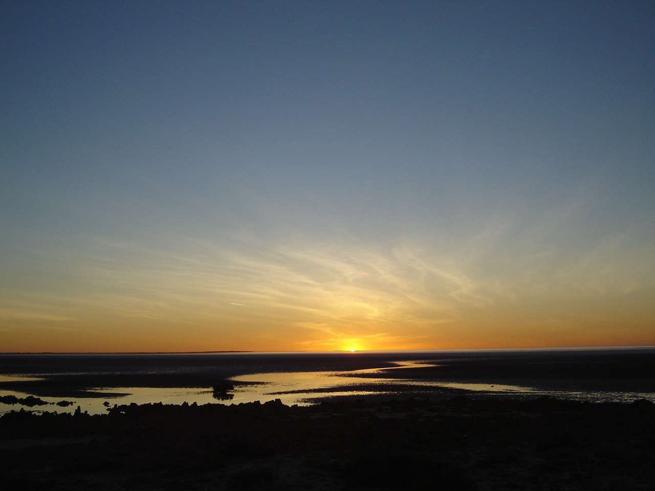
Pardoo Sunset
The day at Port Hedland was uncomfortably humid and every time we tried to do something there was a problem. I wasn’t able to pay Telstra bills because of some new payment method they have in place and we did not get different bits we were looking for. By late afternoon we had replenished our food stocks and had refuelled and made for the Marble Bar Road just to get the hell out of that place. We later learnt that the nickname for Port Hedland was ‘Sorry Town’. “Sorry we don’t have that or Sorry we casnnot help you”!
Sunset found us on Strelley Creek about 5km off the Marble Bar Road after turning down an old mining track. We decided that it was going to rain and so we all slept in the truck. What a humid and uncomfortable night. And Jeddah kept panting at a rate of knots!
We booked into the Marble Bar Caravan Park for a week to have some rest and relaxation and to have a look around. The park was somewhat run down but the caretaker was very friendly and helpful. The amenities blocks were run down as well and only one of four washing machines was working.
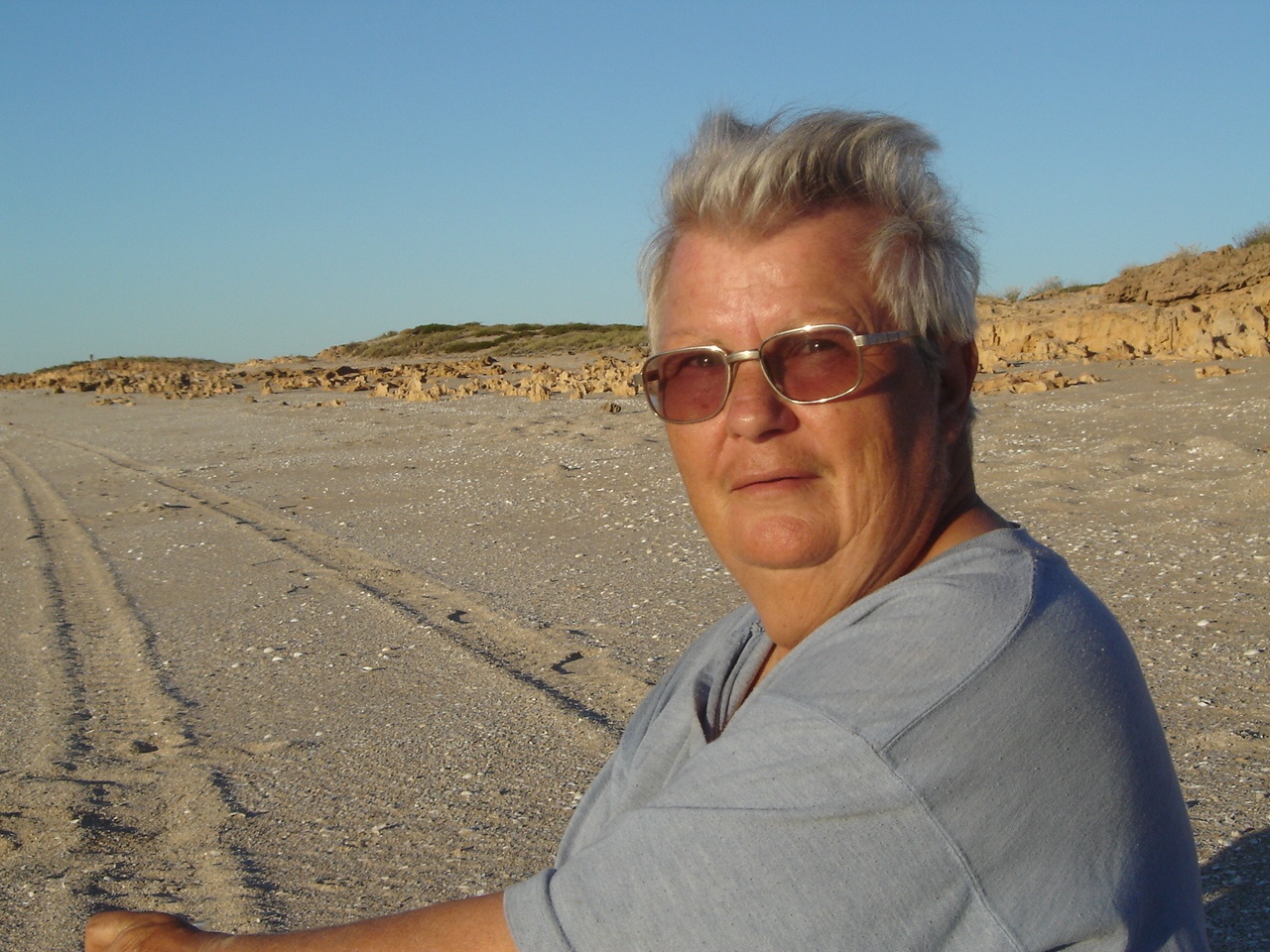
Pardoo Beachcomber
But the water was hot and dogs were allowed. We met a number of travellers whilst there, and swapped info and also met up with people from the WA Museum who were going out to Rudall National Park area to look for desert snails! We drove a number of mining tracks and I swung the detector around but only found rubbish. We visited the Comet Mine, Corunna Downs WW2 Airbase, and Judith painted at Marble Bar itself while Jeddah and I explored the Jasper rocks and I took heaps of photos.
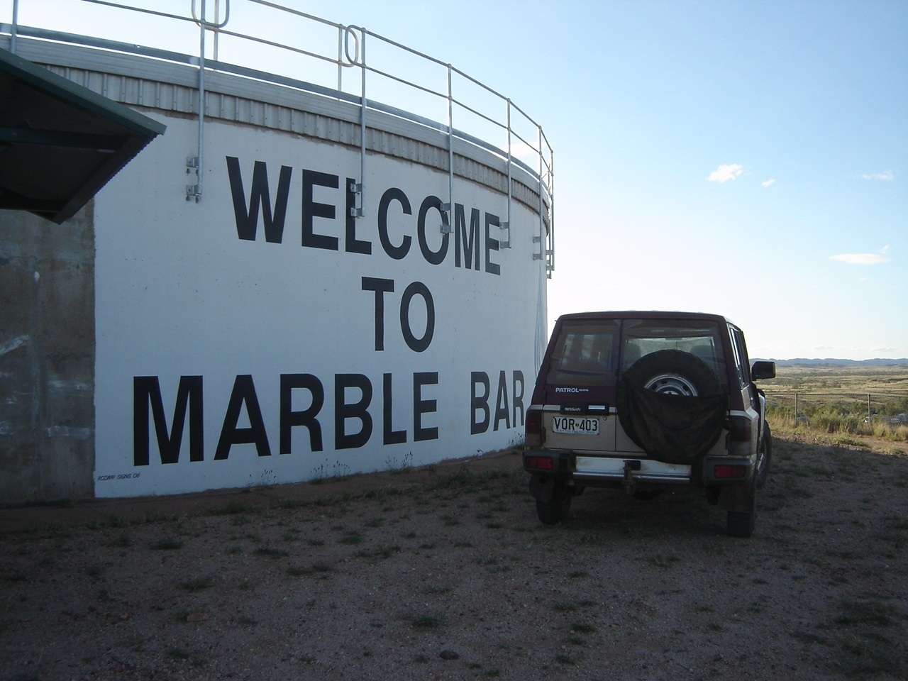
Tank Hill

Judith painting at Chinaman’s Pool
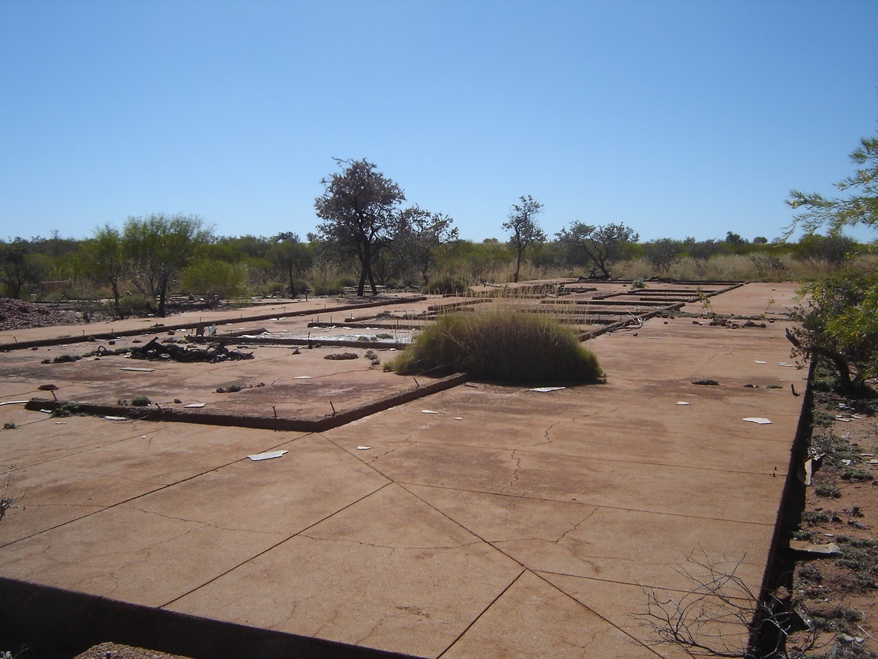
Corunna Airfield ruins
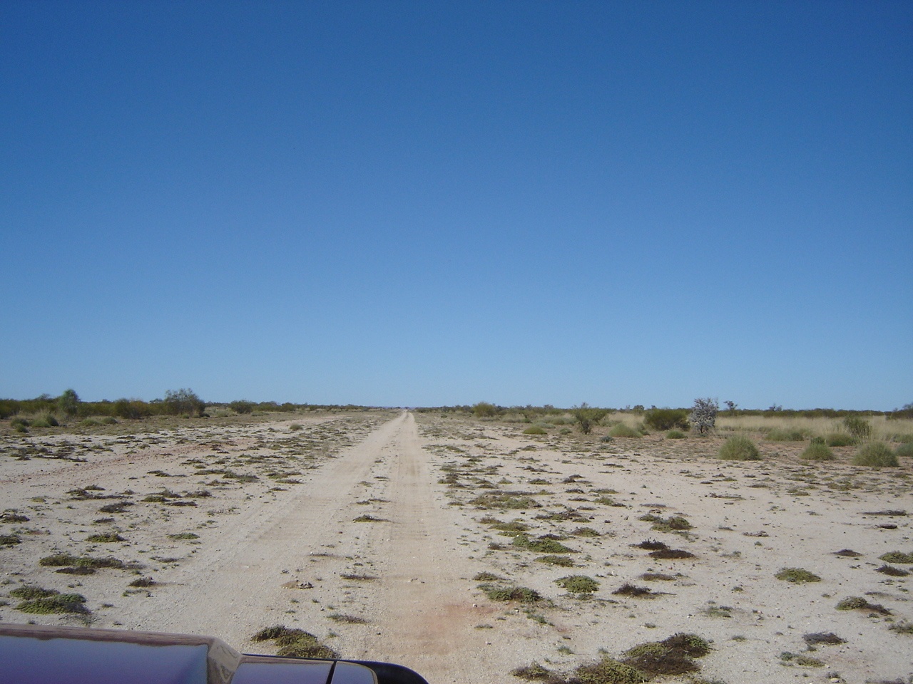
Corunna Airfield
One day we met up with other friends who were with us initially and had a cuppa and a yarn. On another day we went hunting for the old tin mine in the area and eventually found it using my digital mapping. I paid a visit to the local Telecentre and was able to access my email there via Satellite Broadband at a nominal cost. The Marble Cup Races were scheduled for Saturday 4 July and so we pulled out two days earlier and took a run up to Goldsworthy, now abandoned, and along the Goldsworthy Shay Gap road to Shay Gap, and eventually south again and camped at the De Grey River at Muccanoo Pool. Swung the detector again but no luck!
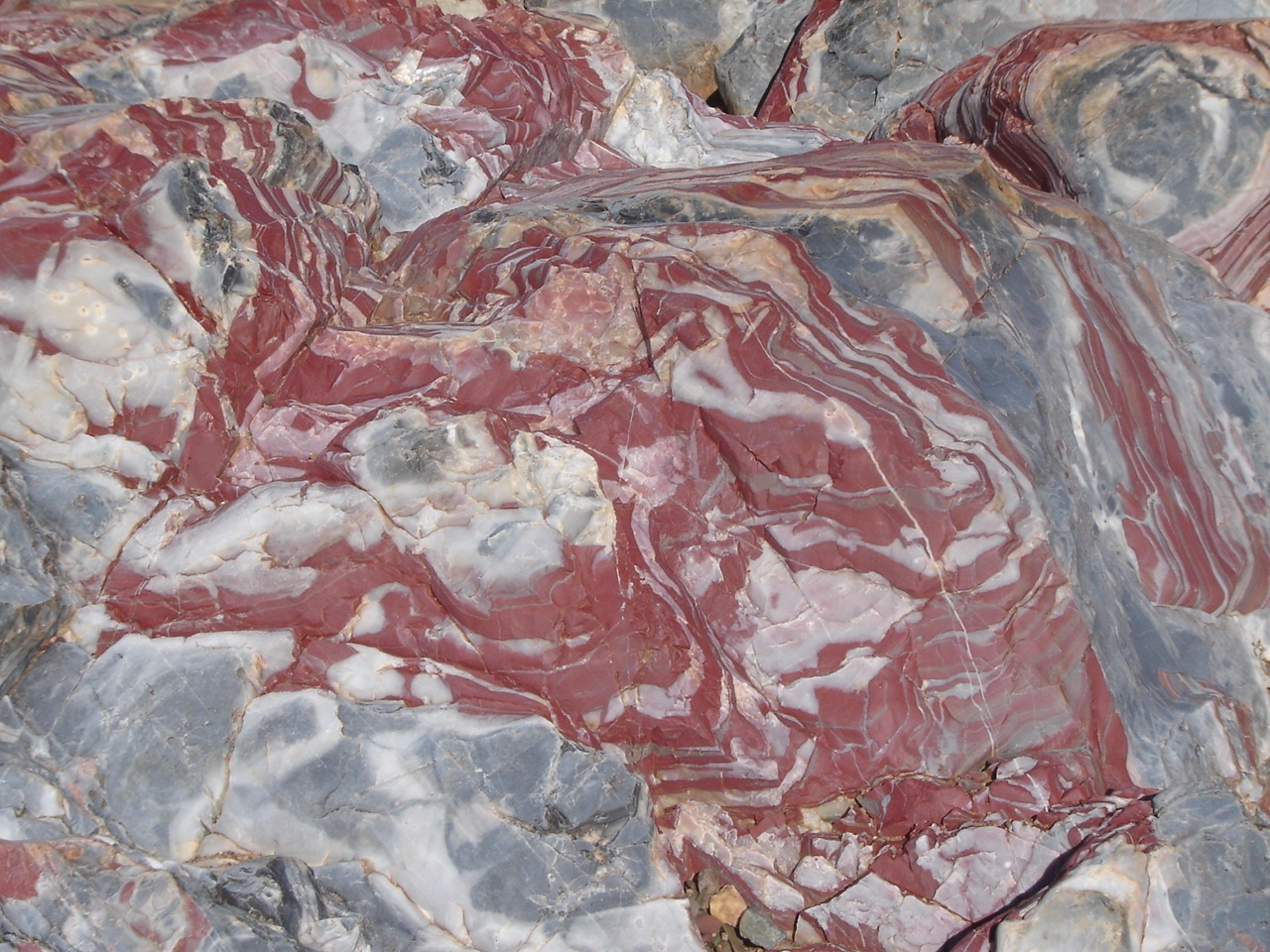
Jasper at Marble Bar
After leaving the De Grey River we made south for Coppin and Kittys Gaps. Now, my digital mapping, the latest 2008 Natmap Raster mapping, shows a track going through Coppin Gap and nothing through Kittys Gap! In fact it is just the reverse thereof. Took some fancy driving to reverse the trailer out of Coppin Gap as I had driven in too far and again at our intended smoko spot. The drive through Kittys Gap was good past some mining exploration mob who post signs everywhere trying to keep the public out. The trouble is that these are Public Roads and even signposted. Mining companies are being a tad cheeky. After lunch we made for Nullagine and once again it is a spectacular drive with many landforms to view. Nullagine was disappointing. The Caravan Park is right next to the diesel powered Power House and they wanted $6.50 for a Chicko roll and $7 for a Sandwich at the Pub. Diesel though was relatively cheap at $1.45 and after refueling, we pushed on to find a camp, tucked away behind a hill next to 20 Mile Sandy Creek on the Skull Springs Road.
The Skull Springs Road valley is another scenic drive. I took the ‘old’ road in error but still arrived at the right place. The road however got narrower and narrower and eventually became a washed out track until 20 Mile Sandy Creek. There a sign stated 105km of winding road! I waved the wand in 20 Mile Sandy Creek but found only old rubbish from miners gone by. Then we drove a short way up the Mosquito Mine road. Here I struck a noise with the wand. I got very excited but it turned out to be magnatite ore.
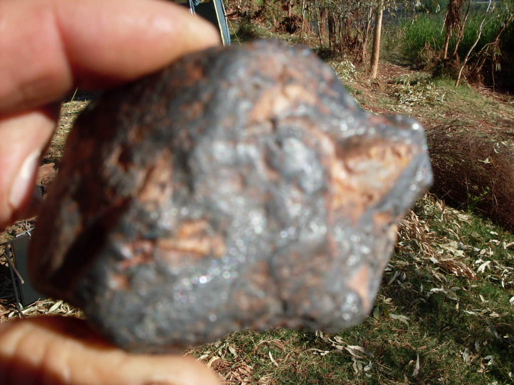
My find
But it is my first find of anything other than rubbish! Later we saw some other unusual rock formations and later still we drove down into Running Waters Pool on the Oakover River and I had to execute a 9 point turn in the water and over rocks to get the rig turned around. This place is stunning with mosses growing and the pool being heated by artesian waters. We neglected to take a swim this time, however.
We made for Carawine Gorge and found a very nice campsite there on couch grass and only two other campers tucked away and out of site from us. One was a bus parked on the airstrip. About a thousand Longbilled Corellas occupy the gum trees which flank the gorge and they fly around screeching and doing Corella things. There were a host of other water birds including Black Swans and Pelicans. We set up camp with the intention to stay a week. What an idyllic spot!
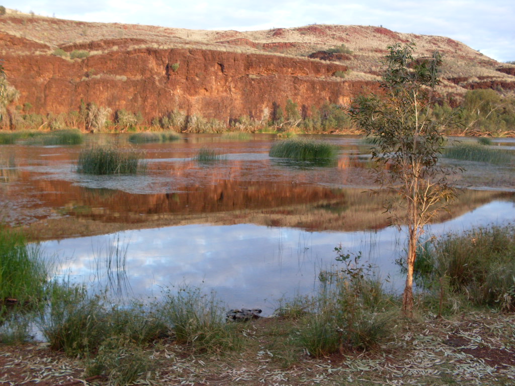
Carawine Gorge
Some things, however are not meant to be, as on our second night there the owners of Warrawagine Station, on which Carawine Gorge lies, arrived to announce that they were setting up their annual mustering camp and promptly started a 10kva diesel generator up to freeze the food for the mustering crew. Our hearts sank. I did wander over after dark and had a chat with Robin and Lyle Mills and they gave me permission to visit the Glacier Slide site and also to visit Upper Carawine Gorge. The generator went quiet soon afterwards. So the following morning we packed up and left this lovely site which was soon to be invaded trucks, utes, six motorbikes and a helicopter!
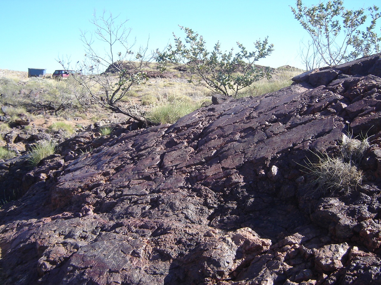
Glacier Rocks
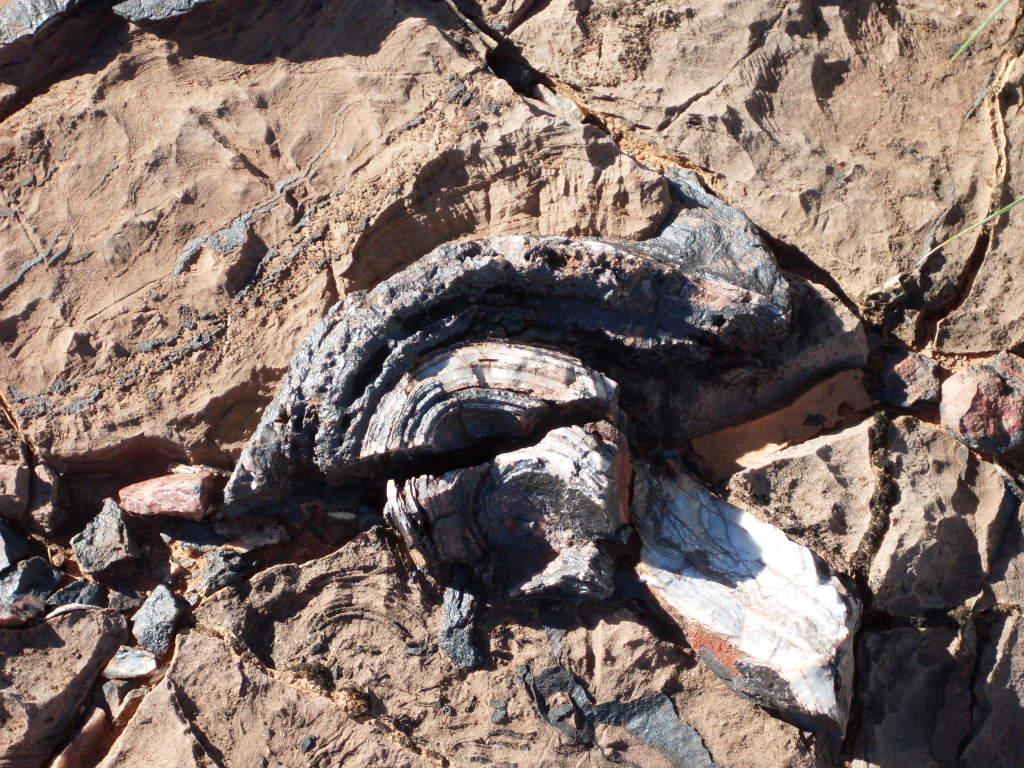
Opalised tree stump
The generator started up in the early morning and we were on the road at a good time and then duly visited the glacier slide site, which was truly magnificent. I also discovered a mud site and a petrified tree and opalised tree stump. Later we caught up with the station owners again and I relayed the new information to them as they were unaware of the mud formations. Then we set off for Upper Carawine Gorge. We turned off the Woodie Woodie Road near Twin Sisters Hills and after a short distance we were bogged in the soft sand of the track. I had forgotten to engage 4×4.

Rugged hills
We were on our way again soon and made our way along an overgrown and very washed out track through some very scenic mesa topped valleys, until we reached Upper Carawine Gorge Crossing. I walked the river first to gauge the depth and then decided that it was not dangerous to cross. I fitted a partial blind to the front of the GQ for the crossing. But first we had smoko. Then Judith gingerly walked across the river so that she could film the water crossing. The crossing was easy and no water ingested into the vehicle.
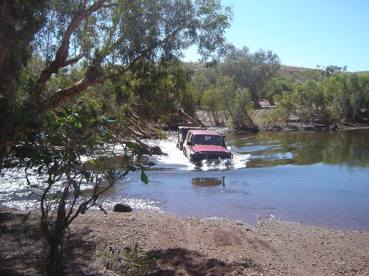
Crossing the Oakover
Then we drove off towards Skull Springs Road. Soon afterwards I saw a track making towards Upper Carawine Gorge Pool. At the end of the track we stopped and Jeddah and I walked through the eucalypt forest of the Oakover River in search of the Pool. But after around 800 metres I gave up and we set a course back to the vehicle and Judith. The latter had become worried and started sounding the horn, which neither of us heard. Then Judith cooee-ed a number of times as we got closer and we heard her then and responded by cooee-ing back. We got told off for being so careless with our time…something that I had not even noticed. The rest of our journey was uneventful apart from meeting another traveller on the track who was surprised to meet us in such a remote place. Back on Skull Springs Road we made for 20 Mile Sandy Creek camp again and spent the night there.
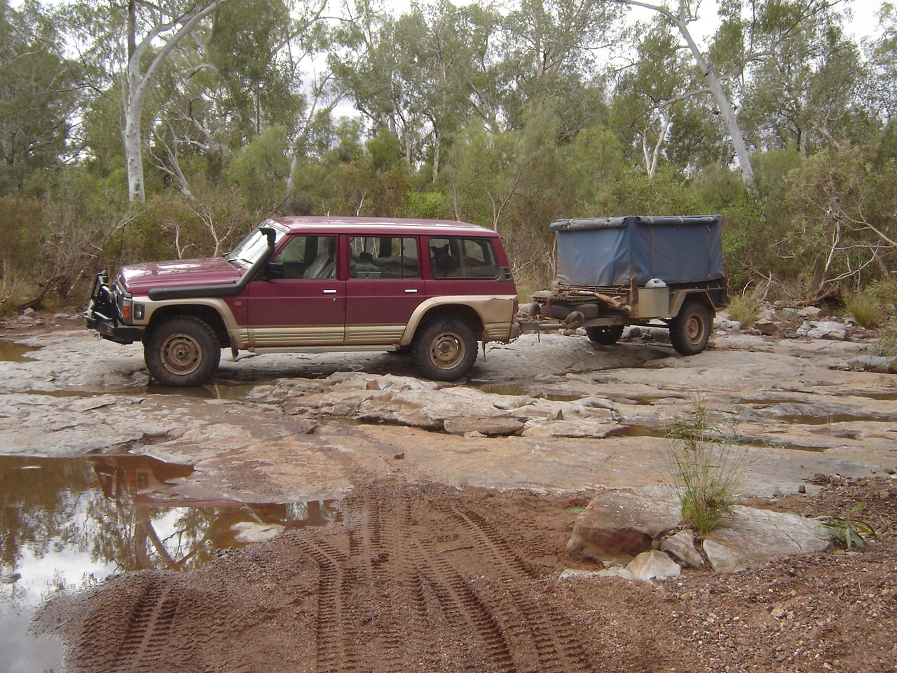
Turning around
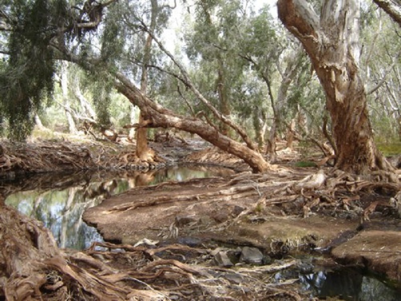
Running Waters
The journey to Newman was also uneventful apart from seeing a number of mining activities happening. We booked into the Newman Caravan Park just after lunch and then went about doing our various jobs. Later we chased up our forwarded mail but it had not arrived. The caravan park was quite noisy catering to accommodate the staff for many mining activities.
We set off for the Hillside Marble Bar road the following morning. It was a long uphill climb out of Newman with road trains licking at our heels as we tried to make speed. The road is very busy between Newman and Port Hedland. Soon after we saw a sign stating Eagle Rock Falls and decided to investigate.
Well, the map distance indicators are all wrong, as we drove an extra 10km to get there. At Eagle Rock Pool we found a way to get around the hill to park right in the creek on a pebbly beach. I helped a young couple to negotiate some of the rocks in their new 4×4 and they were very grateful for that. The young lass showed me a Pilbara 4×4 Tracks book and I read some of the stories contained therein. We also found a track to Eagle Rock Falls and a sign stating that it was 4km in and Hard 4×4! This is true to an extent but not insurmountable. There are just some rocky jump-up sections. We drove to the falls and took our photos from good vantage points. The water was only trickling over the falls but it still was worthwhile to do the drive there. Later in the afternoon we lazed around. The young couple came over after tea and shared some of their Port and Marshmallows with us.
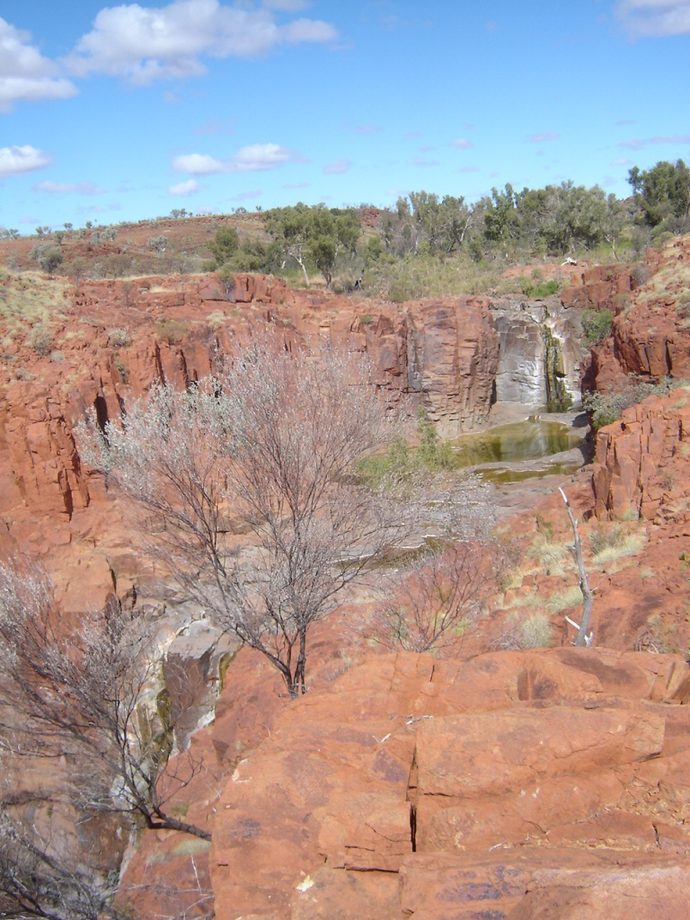
Eagle Rock Falls
We had decided to go back to Newman to get more information and a permit to traverse the BHPBilliton Rail Access Road so that we could visit the Punda Rock Art Site. We made it to this magnificent Art Site set all over a hill facing an open valley below. The last short distance of the track was extremely overgrown and washed out and we were wondering just how the hell we were going to get out of there if we came to a dead-end. Both of us excelled with our prosthetic knees in climbing rocks to take photographs. Coming down was something else though!
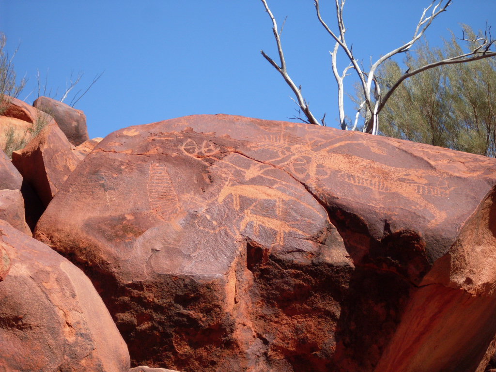
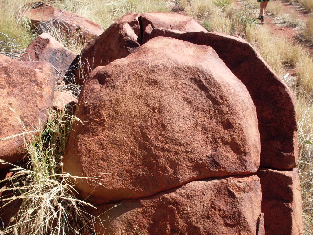
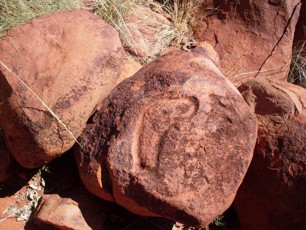
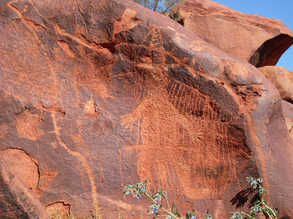
Punda Petroglyphs
We had lunch in the shade of a tree and made it back towards the Rail Access Road. Once there I refueled the truck and then we set off again. Having this Rail Access Pass we decided to push our luck and continue north towards our point where we would leave it. The road was very good skirting by the various rail sidings. We saw no less than six ore trains empty or full of ore. We saw the workings of the rail line and also drove through Redmont Railway Camp. The road seemed to go on forever but eventually in the late afternoon we turned on to the Hillside-Marble Bar Road and at Motor Car Well I found a quarry to camp in. Someone had left some firewood and with our supplement we were able to have a good fire.
I checked out some rocks nearby the following morning and negotiated climbing over the more difficult ones. Once back on the flat though I tripped on a tree root and fell head first into a Spinifex clump. As I was returning to our camp a ute drove in and around the rig and then sped off again. Must have been the local cocky checking us out. Once again the landforms along this route were spectacular with one looking almost the size and shape of Ayers Rock.
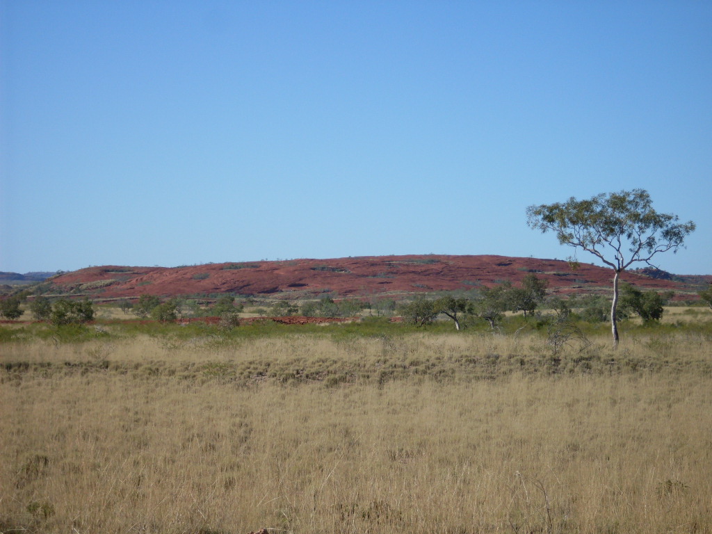
Almost Ayers Rock
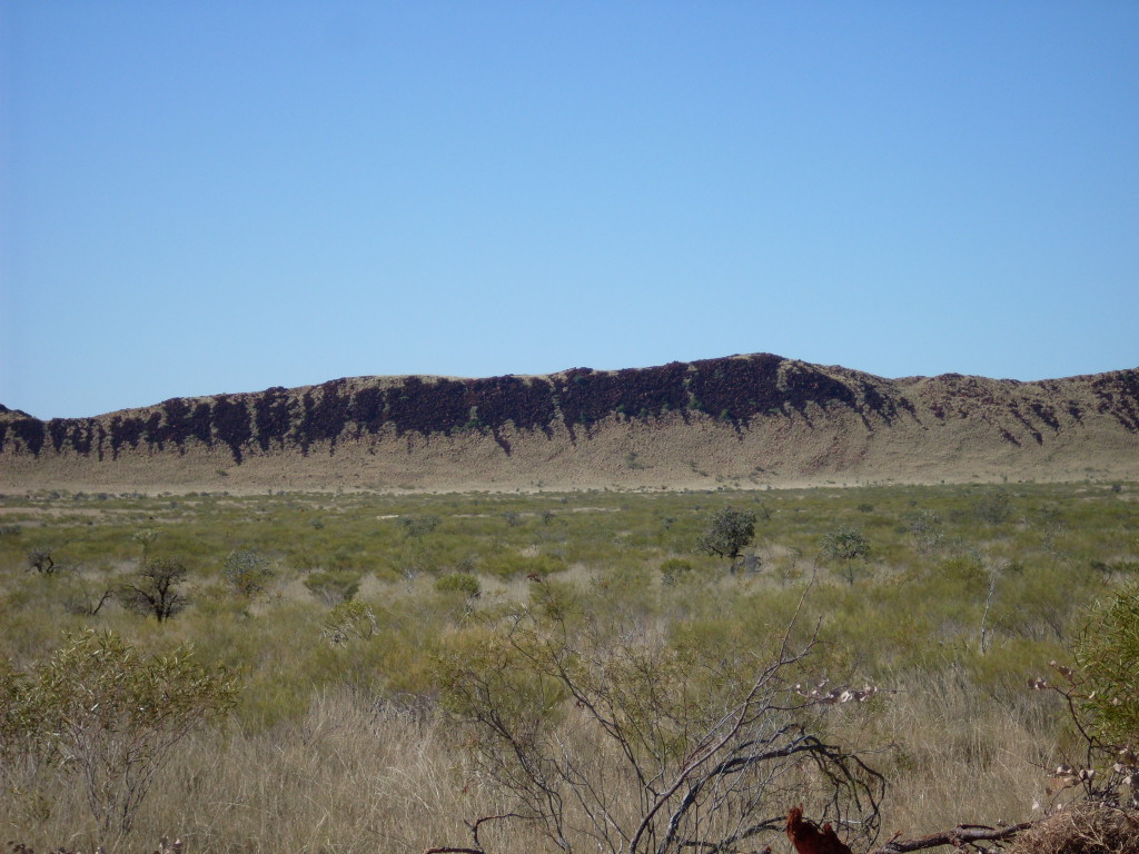
Rock scree (Dassiestraat)
We passed through Marble Bar again just stopping briefly at the shop for some supplies, before making for Muccanoo Pool on the De Grey River. We spent a lazy afternoon there. Jude cooked a roast that evening and we tossed and turned all night from the rich food. We woke up to a misty morning and had to let the tent and other stuff dry out first.
Mist at Mucanoo
The Yarrie Station stockyards close-by, were a hive of activity loading cattle on to a road train. We were on our way by 8.30am. Stopped off to look at some rocks about 500 metres down the Yarrie Station Homestead access road. I had read about this in the Pilbara 4×4 book. Could not find a track in but drove cross-country for a short distance. The fence was now non existent and I hoped that we would not be noticed by passersby. This seemed to be a womens’ site with magnificent petroglyph art work on the flaking sandstone rocks.
Later we passed through Shay Gap again and followed the Boreline Road through to the Great Northern Highway.

Shay Gap
The Kimberley:
At Sandfire Roadhouse we refuelled at $1.60 per litre. We would like to name the place Sadfire because of all the unfriendly signs around the place. We had lunch there in the shade of some trees and were pestered by a mob of tame Peacocks scrounging for food. By 3pm we had reached our destination at Port Smith after a boring 200km run from Sandfire on the black top. Port Smith has a nice leafy caravan park with good amenities and nothing else to do but fish. We needed a shower and a fridge charge up however, and stayed over. Port Smith does not actually have a port but more of a lagoon, which fills from the sea. It used to be a Pearlers Cove.
The next day we made for Barn Hill Station, so named after a hill close to the sea which looks like the shape of a barn. The 10 km in had speed bumps and gates and we had to follow a procession of hopeful campers in. Once there we were unimpressed with the set-up. No office as such, just an old aunty sitting by a table taking the bookings and cramming more people in. Non- powered sites were out in the open sun and it was still a 200-metre walk to the beach. We had to wait in a queue to sign in but left before that, deciding to give Barn Hill a miss. We drove on to Broome along one of the most boring stretches of highway in the country. Just grey bitumen breaking up the endless scrub. We shopped, refuelled, bought some clothes and booze and after a quick look around at old haunts, we were glad to hit the road to the east. Broome, although now a mecca for tourists, with some of it’s new finery in buildings and streets, was still just the same old place as it was 25 years ago when we lived there especially when you go for a drive the back streets.
Finding a place to camp for the night proved troublesome. The Roebuck Caravan Park at the road junction looked unexciting and a 24 hour stop along the way to Willare, off the highway, was jam-packed with Big Rigs (those millionaires who cannot afford to stay in a caravan park). Just on sunset we made it to Willare and found a place to camp on the Fitzroy River in the Willare Picnic Grounds. We were in a beautiful gum forest out of sight with only one other camper’s light to be seen a couple of hundred metres from us. The road noise was noticeable when vehicles crossed the bridge but that soon quietened down as the night wore on.
We spent a lazy day doing things around the camp and playing games with Jeddah. Judith and Jeddah went for a walk along the embankment of the Fitzroy River and saw a small Freshwater Croc. We cooked a Turkey Roast and later in the evening we cooked an Apple Crumble. Yummm!
Our journey now took us down along the Fitzroy River to the Camballin Township where once a sorghum project was the go. Now there is a feedlot for fattening cattle. Not much was happening at Camballin and even the public toilets were locked. After making some enquiries we drove further east along an ever deteriorating track, to the Fitzroy Weir and Noonkanbah Community, before turning north again and coming back on to the Great Northern Highway around 90km from Fitzroy Crossing.

Fitzroy River Weir
The focus was now to drive home over the next week to be there a month earlier than expected as we had some urgent business to attend to. Fitzroy Crossing itself has improved immensely since we were there last in 1984. We stayed at the old caravan park, the same as it was back then, but much tidier.
Halls Creek was busy. We had to queue for diesel. And Judith bought the last pies at the servo. It seemed to be an uphill run all the way from Fitzroy Crossing. The road was very busy with tourists. We had a look at Old Halls Creek and caught up with and friend from a long time ago, who lives there and then we made our way south along the Tanami Road and camped at Sturt Creek on the banks of a billabong.
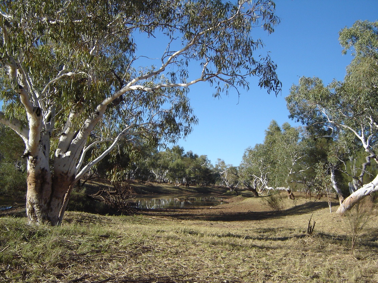
Sturt Creek billabong
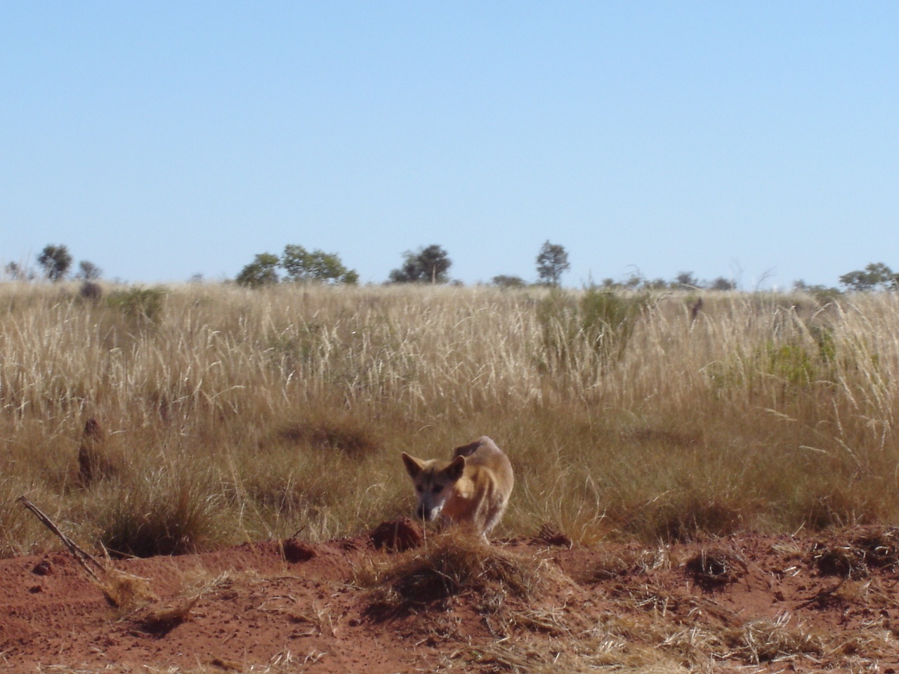
Dingo

Jet in the desert
The Tanami Road was busy and we saw more than 50 vehicles that day. Saw a dingo close-up and a Jet plane on a runway close to the road. Had smoko and refuelled at the NT Border and then had lunch at Rabbit Flat. It too was very busy with tourists, travelling to and from the west. We camped on Chilla Well airstrip for the night, which I had found via my digital mapping. We had peaceful camp at last with no traffic noise or rowdy campers close by.
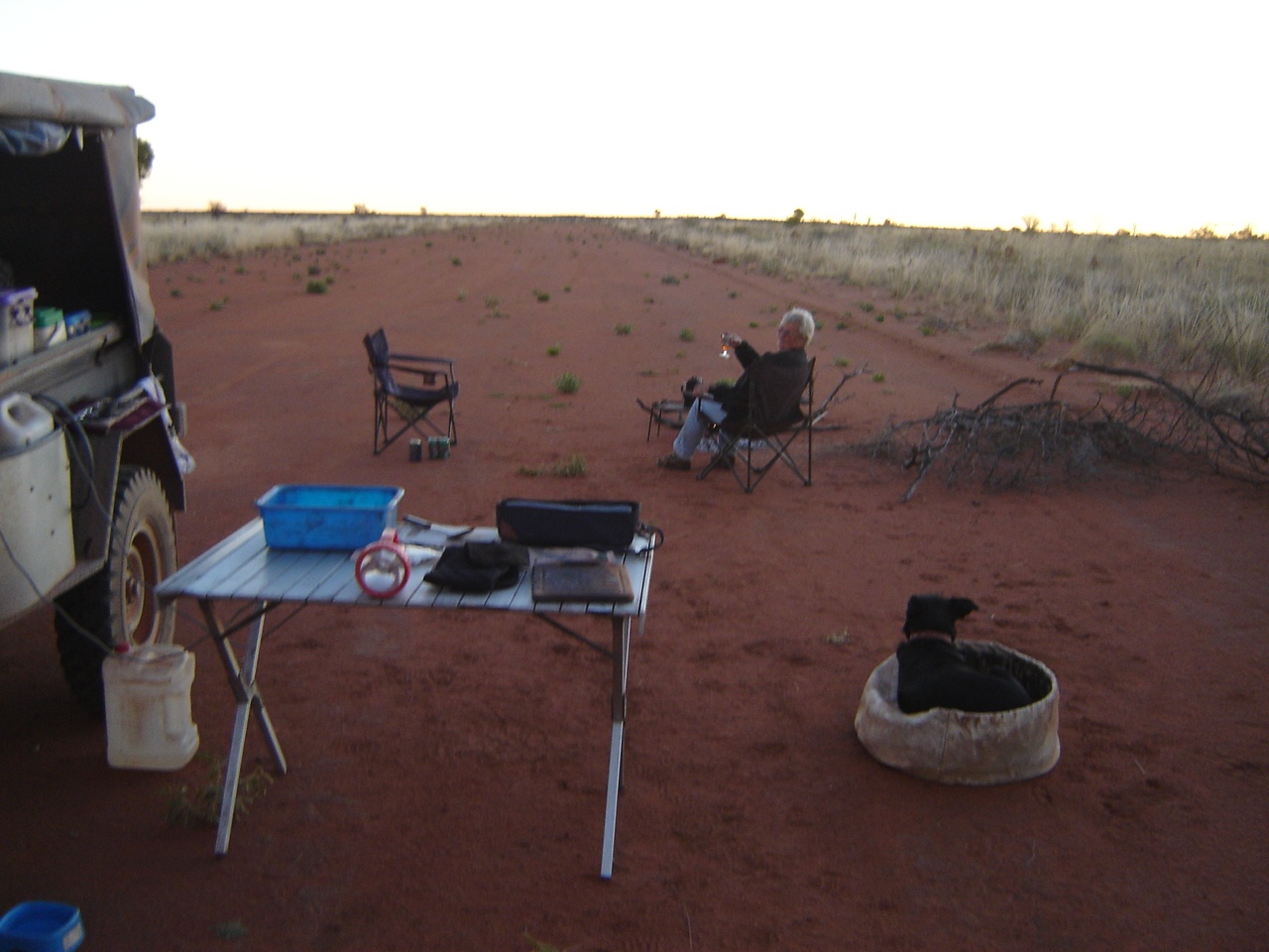
Chilla Well airstrip camp
It seemed to be a long night with the time difference. In bed by 8.30 but woke up several times in the night and the sun just wouldn’t come up. Got going late after 8 and hit the road. Passed a road train on the left hand side of the road after communicating via radio with the driver. Road was good and bad…mainly bad. Drove through an Alcohol Prescribed Area (now defunct)and worried about Wot-if. Eventually we got to Tilmouth Well and put some fuel in and pumped up the tyres back to 40psi. From there it was a two-lane bitumen road to the Papunya turn-off and then strip bitumen to the Stuart Hwy. We saw some Wedge Tail Eagles along the way. Got into Alice around 2.30pm and did a few jobs before cleaning up and relaxing.
We made for home via the Stuart Highway on the Sunday morning arriving just after lunch on Monday after some shopping in Port Augusta. Had a tailwind all the way and got very good fuel consumption out of the old truck.
The Wash-up:
We drove 11,000km in 54 days. We bush-camped for 36 nights, stayed in caravan parks for 13 nights and stayed with friends for 5 nights. The overall cost for us was 40cents per kilometer.
The old Nissan ran exceptionally well sustaining only a loose exhaust bracket, which was easily repaired. The trailer has a sagged spring but made it home without any problems apart from a lost axle-end dust cap. I had a replacement in the spare-parts compartment. The main highways were clogged with travellers and so were all the popular coastal camping places. Inland it was quieter and in remote country the travellers were few and far between. We always enjoy our treks through the wilds of Western Australia, marvelling at the contrasting geology and the diverse flora and fauna. This year we have driven more new tracks and have explored new areas.
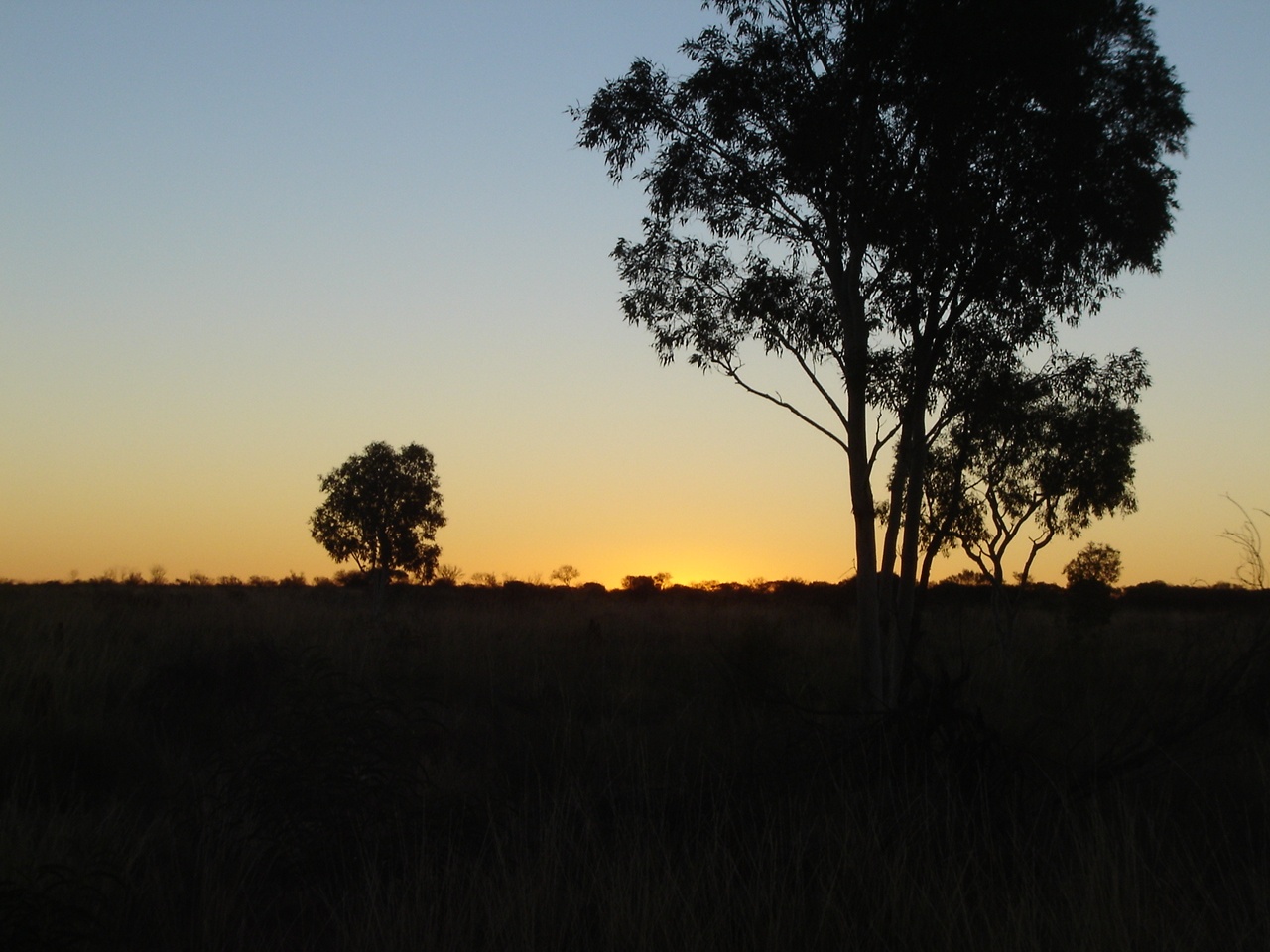
I
Beachcombing the Yorke 2010
Every summer we try to make a break for a short sojourn by the seaside. The weather forecast looked good for the day after New Year so we hooked the trailer up and went to explore the beaches of the west coast of the Yorke Peninsula of South Australia. We had been that way some years before but the opportunity doesn’t always come to go out of the way places. A friend told us that as it was School and New Years holidays, all the beaches would be jam-packed with holidaymakers. Not so! Whilst the seaside towns were packed to capacity the outlying beaches were virtually deserted, apart from a few people, who were fishing.
We made for Port Broughton and after doing the rounds of a few Saturday morning garage sales there, and loading up with some perceived treasures, we set off along a tracks marked on my mapping for Webling Bay and beyond. The track stopped however, at the coast at a fisherman’s camp and we had to do a U-turn inside the camp to retrace our steps. So much for Government Mapping! So we took a road through Wards Hill and Alford to Kadina. The place was hopping and as luck would have it, we had to do some shopping!
From Kadina we took back-roads out past the old Wallaroo Mines heading straight to the beach. Once there, the wheel tracks followed the high tide mark of the beach. The track was hard packed and posed no driving effort. Evidence was clear that this was a favourite haunt of dirt bike riders as evidence of extreme wheel-spins on the ground were everywhere. This too was evident further along the coast and I am sure, that in time to come, all of the coastal reserves will be closed off to vehicular traffic due to the damage done to the dune habitat by careless riders and drivers. Areas have already been closed off and included in to Nature Conservation areas with designated camping spots behind the dunes.

Bird Isalnd
Lunch was had on the beach looking towards Bird Island and we had a friendly chat to an old bloke who was patiently waiting for his brother who was out knee-deep in the water some 500metres offshore tending to crab pots. Some bike riders came by too and stopped for lunch. The tracks out of there were not all well marked through the coastal dunes and there was some soft sand. So we followed our nose.
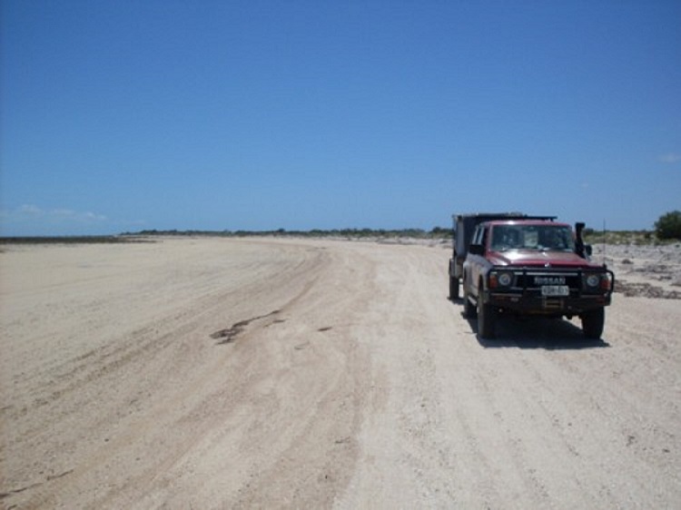
Driving the beach
At one place the track was overgrown and my short UHF antenna got snapped off at the base after surviving three years of travel out in the deserts. We came out on the beach again with Moonta Bay Village in the distance. A local fisherman was on the beach so I asked him if one could get through to Moonta Bay and he said, “Yes, just watch out for some of the seaweed as it could be a bit deep”. At that point in time another vehicle rocked up and asked the fella the same question, waved to us and drove off down the beach. I had been thinking of turning around and heading somewhere else but decided on the spur of the moment to follow the other vehicle, as the sand did not seem too soft. I was soon in Low Range 3rd gear and then down to 2nd making heavy weather of some of the seaweed. One has to be very wary of the seaweed as it could act like quicksand. The Jackeroo in front of me was bouncing along and I found out why when we reached Moonta Bay.
We came to a dead end on the beach right in front of all the holiday houses. I went for a walk to look for an exit point but there was none whilst the occupants of the Jackeroo went up to the houses to ask, “How do we get off the beach?” The reply was that there wasn’t an exit and that they had never seen 4×4’s this far up the beach. We had to turn around on very soft sand. The Jackeroo was struggling to turn around and I found out that its tyres were at 35psi. So I advised the driver to drop them lower to which he replied that he did not have an air compressor. I told him that I had one and would pump his wheels up again and so he did just that. We drove back along the soft beach until we saw a Private Property sign on a gate. We asked permission from the people at the house to get off the beach through the gate and that was granted. Then it was time to pump the tyres again. Moonta Bay and Moonta Town were buzzing with holidaymakers. We kept going though to get away from the crowds.
In the dim distant remnants of my memory I remembered staying at a campsite south of Moonta some years ago and we set off to re discover it. There are three designated camping areas within a small conservation reserve. They are called The Gap, The Bamboos and Tiparra Rocks. Most have beachfront or behind the dunes campsites. There are toilets at The Gap but other sites have no facilities. We camped further on along the Tiparra Cliffs down an unofficial track, as a strong sea breeze was blowing and we needed some shelter. We had the place to ourselves and the wind dropped after sunset.
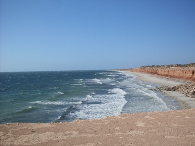
Tiparra Cliffs

Tiparra Camp
On Sunday we packed up at our leisure and followed the cliff top track along for a short distance keeping well away from the crumbly cliff face and then on to the fishing village of Balgowan More fancy houses and paved streets. I am damn sure the money doesn’t come from fishing! A track behind the dunes to the south of Balgowan has been closed to make way for a conservation area and walking track. So from Point Warrene we took the road via Gortmore locality to Chinaman Wells where another small fishing village exists. Back out from Chinaman Wells there were tracks along the beach but leading to some rather white dunes and I decided that maybe it was better to give it a miss with the trailer in tow. We drove through the Aboriginal Community of Point Pearce towards Port Victoria.
Port Victoria is buzzing too with new housing and developers moving in. Can’t see a depression in finances here. The place even has a beachfront golf course. A track runs behind the dunes and out to a lovely little local conservation park set up by the Wauraltee Locality Committee utilising some disused farmland. There is a very narrow track leading in over the dunes and camp-sites provided, but with no facilities. There is a short walk over one row of dunes to the beach. Further along the dune track we found an access track to the beach and there it was, a prime position, absolute beachfront for a camp. No prickles, no flies, no mozzies and no bities…what else could you wish for? It was then that I noticed that Murphy had come along for the ride, as the right rear tyre was looking rather flat. Yep, a 50mm rusted nail had embedded itself into the tyre tread valley. No matter which tyres I have, punctures always seem to accompany me . We had Bushes Beach to ourselves with only 3 vehicles passing by slowly, whilst we were there. It was a good camp. We walked the rocks and shallows at the low tide and did some beachcombing and paddled in the cool waters of the early mornings’ high tide.
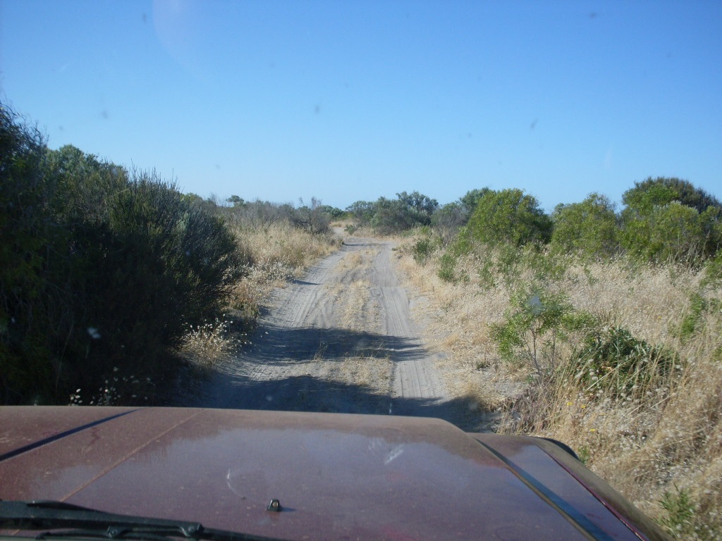
Bushes beach dune track
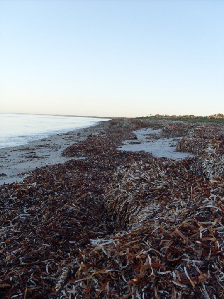
Seaweed
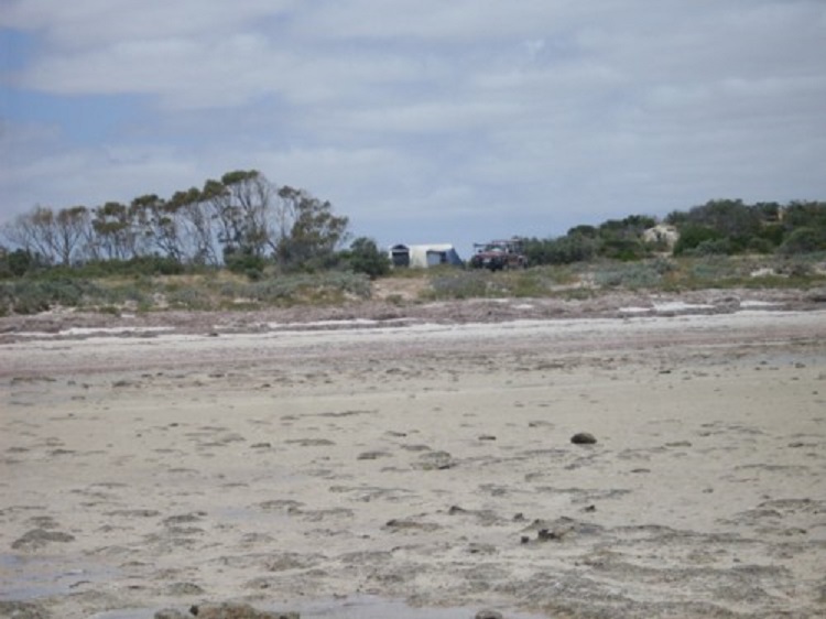
Bushes beach camp
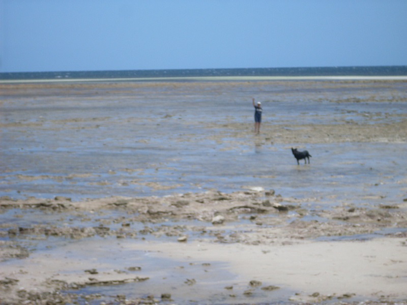
Time for a paddle
Jeddah on guard
After Bushes Beach, a hard packed sand track along the waters edge leads to Port Rickaby, yet another new age development. But Oh!, what it is to marvel at the rich and famous. That is, if they are the rich and famous, not just with the credit cards full to the max! Still, a touch of jealously creeps in because I wouldn’t mind living there. Trouble is SWMBO has other ideas! Life is but a compromise.
Port Rickaby Jetty
Heading south we had a look at Barkers Rocks, a small conservation area with a sign pleading for bikers not to damage the area. That is all to little avail, as deep gouge single wheel scores were seen along the cliff face.
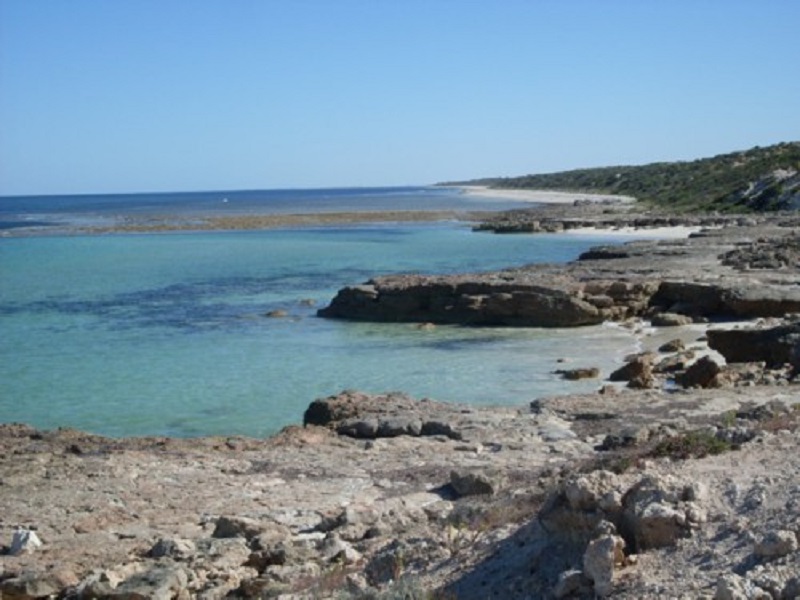
Barkers Rocks
Next came the camping area of Bluff Beach, one dune behind the seafront. A hard packed track lead over to dune to the beach and I just had to take a look! So over we went. It remained hard-packed to the seafront where I noticed deep wheel ruts in the sand and decided that discretion was the better part of valour and started to reverse up and over the dune. Now, I have done a few reverse-down the dune runs in the various deserts of the inland but never a reverse over. Using the mirrors was the only way, keeping the gears in low range. I managed to get over the top of the dune but after that things went pear-shaped as the trailer got into soft sand on the side of the track and had a mind of it’s own, taking its own path. There were a number of forward and backward movements and a rather scary couple of minutes when it seemed that we could drop off over the steep side of the dune. But I made it out OK with no damage. One just has to be patient. It was nearly smoko time, so we drove to Minlaton where the wife saw a shoe shop and just had to replace her sandals! Smoko was had a while later in the shade of some roadside Mallee.
Then it was time to turn north again and head for the Southern Flinders vowing to come back in the autumn for another look around. We toodled home, calling in on friends along the way, to have a natter over a cuppa. Taking the back roads through Brinkworth, Yacka, Gulnare and Jamestown saw to it that there was little traffic and we were home by mid afternoon.
Staircase to the stars
Coopers Creek Ferry 2010
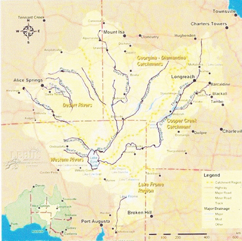
Lake Eyre Basin
Boxing Day saw us take the road north via Orroroo, Hawker, Leigh Creek and Lyndhurst. It was a warmish day and we had a tailwind which made the car run a little warm. I took the insect screen off the front and only ran the air-conditioning for short periods if time so as not to run the engine temperature too high. We refuelled at Lyndhurst where we were charged $1 for the convenience of eftpos. I was unimpressed and voiced my opinion via email when we were back at home again. This sparked off a short diatribe between myself and the Lyndhurst Hotel proprietor.

Farina Campground

Frog Convention
Friendly Frog
The wind picked up in the mid afternoon and by the time we got to the Farina Campground it was quite strong. Farina is an old township which was settled in 1878 by optimistic farmers who thought that they could grow wheat and Barley in the area. The rainfall however was not sufficient for this endeavour. At once stage Farina was the Railhead and housed nearly 300 residents in its heyday. Recently Farina Preservation Society members have restored the Underground Bakery and have done some other work to the ruins. We found a good campsite in some shade but out from under any dry branches which hang out at all angles from the resident eucalypt trees and eventually and settled down for a slack afternoon. We had the place to ourselves. We both enjoyed a warm shower as the water in the pipes was warm. The flush toilet however was not to be used and it had no less than 35 bush-frogs living under the seat! There were lots of short billed Corellas at the campground and we saw some Budgies come and go from a tree hollow. The birds made heavy weather in the wind. Even a Kite Hawk could not maintain it’s hovering. By 9pm just after dark, the wind was still strong.
The wind finally abated at around 4am. We were on the go at around 8am after a looksee at Farina Ruins where interpretive signs have been erected and a lot of work done to restoring the old buildings. Some gravel road and some bitumen stretches saw us reach Marree and then we did a right turn on to the Birdsville Track. I dropped the car and van tyre pressures down to 28psi and away we went. The countryside along the Birdsville Track is so green that it is unbelievable. Even in the Tirari Desert, which is normally only seen as a gibber plain, the vegetation is lush.
We had smoko at Claytons Bore adjacent to Clayton Station Homestead and then pushed on past Dulkannina Station to Etadunna Station where we did a right turn to follow the track to the Ferry at the Cooper. There ferry came into operation in the 1930’s when the Birdsville Mailman had to get through with the mail. It has only been used once every 20 to 30 years. The ferry was in operation in in 1946/47 when exceptional rains fell, then again in the 1960’s, 1974/75 and again in 1990. The ferry has been operating this time since 8th of June 2010 and it has been suggested that it may be in operation until October 2011. Originally it was just a punt and had to be rowed across but in the 1970’s sides were added for passengers and crew and two 15hp outboard motors in unison power the ferry across the divide.
Coopers Creek in flood
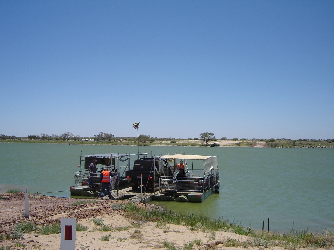
Coopers Creek ferry
Once there we found that the ferry master was having lunch and nothing was operational. We could not cross anyway as there is no facility for towing caravans over and we had no intention of crossing the river just for the hell of it. We made for a campsite spied from a distance along the banks of Cooper Creek and followed a bush track there. Unfortunately so many prickle bushes have sprung up with all the rains that walking around on the banks of the river or above the water level wasn’t fun. Jeddah hopped out of her lofty position inside the wagon and hopped straight back in again as she is a fussy dog and does not tolerate prickles! After lunch we made our way back to the ferry crossing and I hitched a ride across and back when a vehicle needed to be transported. That was enough.
We made our way back to the Birdsville Track and then headed north to where the Cooper cuts the Track to have a look. Once there I ventured to drive down along the crossing for a while but it looked too wet and some careful reversing was needed to get back on to high ground again. There we discovered that the caravan’s water tank outlet had broken yet once again and that we had lost all that water. I got underneath the van and repaired the broken connection. The old Cooper Creek Punt sits there forlornly waiting for someone to use it once more although I surmise it has been concreted in to its last resting place.
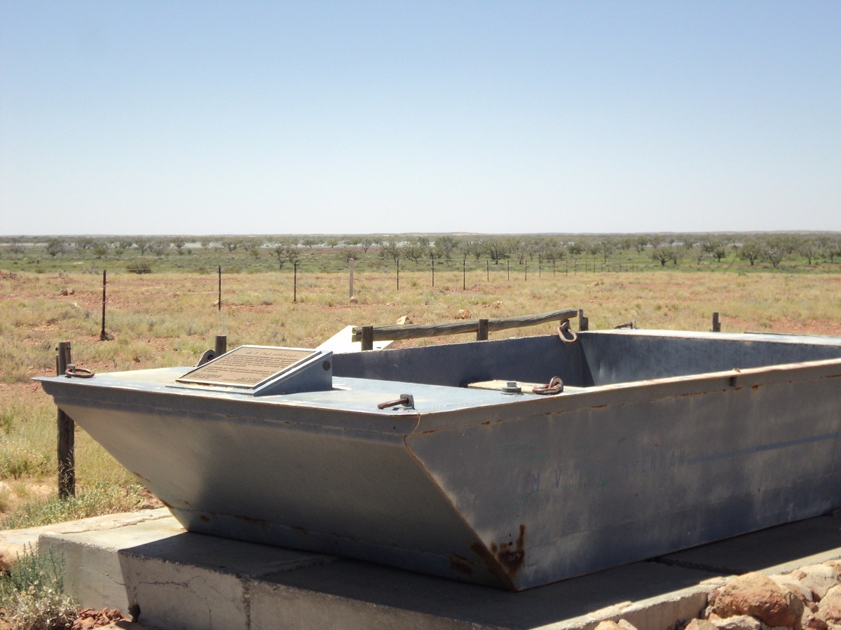
Old Coopers Creek Punt
Our journey then took us back to Clayton Bore where an artesian spa was waiting for us. After opening all of the taps in the proper sequence, what seemed like near boiling water began to pour in, and after about 30 minutes we ventured in. The water however was extremely hot and we had to enter in stages to acclimatise ourselves. It was a very therapeutic experience. Clayton Bore Spa and facilities is generously provided by the owners of Clayton Station and they ask for a small contribution towards the upkeep of the facility.

Letting the water in
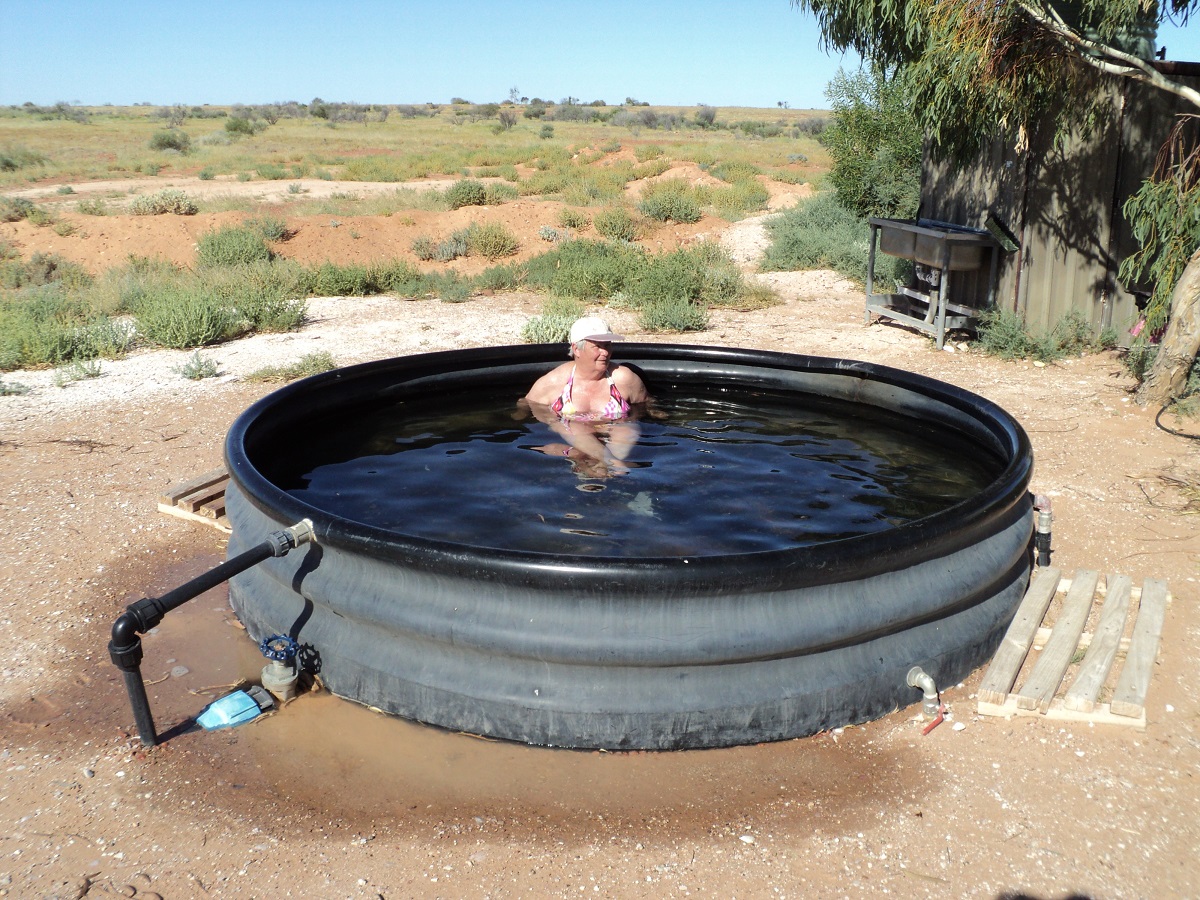
Having a soak.
The rest of the afternoon was taken up with relaxing before I decided to refuel and also to repair a small problem with the van brakes. Soon after we had drinkies but as the sun fell behind the horizon the mosquitoes came out in force ignoring our Desert Dwellers anti insect repellent. We bade a hasty retreat back to the van. Just as well that we had decided not to have a fire this evening as it would have been a waste of wood with the mosquitoes out to get us!!! Our new 12 volt fan purchased at great expense for such a flimsy looking object, works well in the van drawing only .35amp and keeping us a lot cooler. It is a tad noisy but one has to wear that! Today we saw a number of sand goannas crossing the road as well as quite a few bearded dragons. We had two sightings of Emu teenagers in their dark feather colouring. At the creek we saw Pelicans, Darters, Ibis and many duck species and including Inland dotterels.
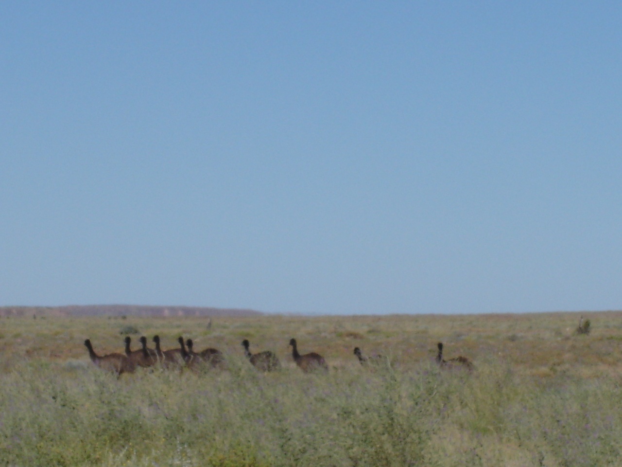
Emu teenagers
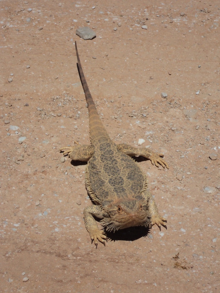
Bearded Dragon
Jeddah had me up before daybreak and we went for a walk but the mozzies were still around and we soon made a hasty retreat to the van. Jude and I had hot artesian showers in the cubicle provided by Clayton Station and after brekkie we were on the road again. We had not driven very far when we saw and took photos of a Brown Snake on the side of the road. It was about two metres in length and quite unperturbed by our intrusion, and sailed along the windrow amongst the salt bushes doing its own thing. Jeddah looked out of her perch on the door but apparently did not see the snake.
Brown snake
Before the Birdsville Track reaches Lake Harry ruins heading south, there is a prominent flat topped hill with the odd name of Tree Cliff Hill and with a distinct cairn at the top, which is visible for some distance. A wheel track runs straight up the hill and having passed this place on numerous occasions I have always promised myself to go up there one day to look see. So today was to be the day. We drove towards the hill and then unhitched the van and Jude and Jeddah stayed behind while I drove up and over the top. The track has a number of chewed out holes but low range second gear sufficed. Once at the top there were magnificent views of Lake Harry which has a slither of water covering the salt crust of the basin. There is also another track that runs along a spur, then down the hill and up another solitary conical hill. I decided that I did not need to do that one. I placed a stone on the cairn and took some photos before making my way down the hill again, in first low this time. As I got back to the caravan and was about to hitch up another vehicle came along. They were two young fellows from Adelaide in a Ford Explorer. They were going to tackle the hill too but in the end they stopped just short and seemed to be having trouble and after hitching up again I drove over towards them and they explained that they could not engage low range. We left them to their own devices. The countryide is very green at present. We had a look around the ruins of Lake Harry where a Date Plantation was a failure many years ago.The is an artesian shower near the road for those who would like to wash the dust from their bodies after traversing the Biirdsville Track. We drove the rest of the way back to Marree and the bitumen.
The road back to Lyndhurst isn’t fully sealed yet with a stretch of 8km and another of 17km of bitumen. I left the lower tyre pressures as they were and kept the speed under 80kmh. We now saw numerous Bearded Dragons on the road and one had to be carful to avoid running over them. They come out on to the road surface to grab a feed of grasshoppers hit by passing cars. We had smoko at Farina Campground under the shade of the gum trees ad after some looking around and a squint at the reconstructed underground bakery, we made for Lyndhurst. Once there we helped ourselves to 30litres of water from a tank at the ablution block. Then it was on to Copley where we refuelled and then had lunch by the roadside stop. Managed to get another 10 litres of water there, which we put into the van tank.
Boxing Day saw us take the road north via Orroroo, Hawker, Leigh Creek and Lyndhurst. It was a warmish day and we had a tailwind which made the car run a little warm. I took the insect screen off the front and only ran the air-conditioning for short periods if time so as not to run the engine temperature too high. We refuelled at Lyndhurst where we were charged $1 for the convenience of EFTPOS. I was unimpressed and voiced my opinion via email when we were back at home again. This sparked off a short diatribe between myself and the Lyndhurst Hotel proprietor.
The wind picked up in the mid afternoon and by the time we got to the Farina Campground it was quite strong. Farina is an old township which was settled in 1878 by optimistic farmers who thought that they could grow wheat and Barley in the area. The rainfall however was not sufficient for this endeavour. At once stage Farina was the Railhead and housed nearly 300 residents in its heyday. Recently Farina Preservation Society members have restored the Underground Bakery and have done some other work to the ruins. We found a good campsite in some shade but out from under any dry branches which hang out at all angles from the resident eucalypt trees and eventually and settled down for a slack afternoon. We had the place to ourselves. We both enjoyed a warm shower as the water in the pipes was warm. The flush toilet however was not to be used and it had no less than 35 bush-frogs living under the seat! There were lots of short billed Corellas at the campground and we saw some Budgies come and go from a tree hollow. The birds made heavy weather in the wind. Even a Kite Hawk could not maintain it’s hovering. By 9pm just after dark, the wind was still strong.
The wind finally abated at around 4am. We were on the go at around 8am after a looksee at Farina Ruins where interpretive signs have been erected and a lot of work done to restoring the old buildings. Some gravel road and some bitumen streches, saw us reach Marree and then we did a right turn on to the Birdsville Track. I dropped the car and van tyre pressures down to 28psi and away we went. The countryside along the Birdsville Track is so green that it is unbelievable. Even in the Tirari Desert, which is normally only seen as a gibber plain, the vegetation is lush.
We had smoko at Claytons Bore adjacent to Clayton Station Homestead and then pushed on past Dulkannina Station to Etadunna Station where we did a right turn to follow the track to the Ferry at the Cooper. There ferry came into operation in the 1930’s when the Birdsville Mailman had to get through with the mail. It has only been used once every 20 to 30 years. The ferry was in operation in in 1946/47 when exceptional rains fell, then again in the 1960’s, 1974/75 and again in 1990. The ferry has been operating this time since 8th of June 2010 and it has been suggested that it may be in operation until October 2011. Originally it was just a punt and had to be rowed across but in the 1970’s sides were added for passengers and crew and two 15hp outboard motors in unison power the ferry across the divide.
Once there we found that the ferry master was having lunch and nothing was operational. We could not cross anyway as there is no facility for towing caravans over and we had no intention of crossing the river just for the hell of it. We made for a campsite spied from a distance along the banks of Cooper Creek and followed a bush track there. Unfortunately, so many prickle bushes have sprung up with all the rains that walking around on the banks of the river or above the water level wasn’t fun. Jeddah hopped out of her lofty position inside the wagon and hopped straight back in again as she is a fussy dog and does not tolerate prickles! After lunch we made our way back to the ferry crossing and I hitched a ride across and back when a vehicle needed to be transported. That was enough.
We made our way back to the Birdsville Track and then headed north to where the Cooper cuts the Track to have a look. Once there I ventured to drive down along the crossing for a while but it looked too wet and some careful reversing was needed to get back on to high ground again. There we discovered that the caravan’s water tank outlet had broken yet once again and that we had lost all that water. I got underneath the van and repaired the broken connection. The old Cooper Creek Punt sits there forlornly waiting for someone to use it once more although I surmise it has been concreted in to its last resting place.
Our journey then took us back to Clayton Bore where an artesian spa was waiting for us. After opening all of the taps in the proper sequence, what seemed like near boiling water began to pour in, and after about 30 minutes we ventured in. The water however was extremely hot and we had to enter in stages to acclimatise ourselves. It was a very therapeutic experience. Clayton Bore Spa and facilities is generously provided by the owners of Clayton Station and they ask for a small contribution towards the upkeep of the facility.
The rest of the afternoon was taken up with relaxing before I decided to refuel and also to repair a small problem with the van brakes. Soon after we had drinkies but as the sun fell behind the horizon the mosquitoes came out in force ignoring our Desert Dwellers anti insect repellent. We bade a hasty retreat back to the van. Just as well that we had decided not to have a fire this evening as it would have been a waste of wood with the mosquitoes out to get us!!! Our new 12-volt fan purchased at great expense for such a flimsy looking object, works well in the van drawing only .35amp and keeping us a lot cooler. It is a tad noisy but one has to wear that! Today we saw a number of sand goannas crossing the road as well as quite a few bearded dragons. We had two sightings of Emu teenagers in their dark feather colouring. At the creek we saw Pelicans, Darters, Ibis and many duck species and including Inland dotterels.
Jeddah had me up before daybreak and we went for a walk but the mozzies were still around and we soon made a hasty retreat to the van. Jude and I had hot artesian showers in the cubicle provided by Clayton Station and after brekkie we were on the road again. We had not driven very far when we saw and took photos of a Brown Snake on the side of the road. It was about two metres in length and quite unperturbed by our intrusion, and sailed along the windrow amongst the salt bushes doing its own thing. Jeddah looked out of her perch on the door but apparently did not see the snake.
Before the Birdsville Track reaches Lake Harry ruins, heading south, there is a prominent flat topped hill with the odd name of Tree Cliff Hill and with a distinct cairn at the top, which is visible for some distance. A wheel track runs straight up the hill and having passed this place on numerous occasions I have always promised myself to go up there one day to look see. So today was to be the day. We drove towards the hill and then unhitched the van and Jude and Jeddah stayed behind while I drove up and over the top. The track has a number of chewed out holes but low range second gear sufficed. Once at the top there were magnificent views of Lake Harry which has a slither of water covering the salt crust of the basin. There is also another track that runs along a spur, then down the hill and up another solitary conical hill. I decided that I did not need to do that one. I placed a stone on the cairn and took some photos before making my way down the hill again, in first low this time. As I got back to the caravan and was about to hitch up another vehicle came along. They were two young fellows from Adelaide in a Ford Explorer. They were going to tackle the hill too but in the end they stopped just short and seemed to be having trouble and after hitching up again I drove over towards them and they explained that they could not engage low range. We left them to their own devices. The countryside is very green at present. We had a look around the ruins of Lake Harry where a Date Plantation was a failure many years ago. There is an artesian shower near the road for those who would like to wash the dust from their bodies after traversing the Birdsville Track. We drove the rest of the way back to Marree and the bitumen road.
The road back to Lyndhurst isn’t fully sealed yet with a stretch of 8km and another of 17km of bitumen. I left the lower tyre pressures as they were and kept the speed under 80kmh. We now saw numerous Bearded Dragons on the road and one had to be careful to avoid running over them. They come out on to the road surface to grab a feed of grasshoppers hit by passing cars. We had smoko at Farina Campground under the shade of the gum trees ad after some looking around and a squint at the reconstructed underground bakery, we made for Lyndhurst. Once there we helped ourselves to 30litres of water from a tank at the ablution block. Then it was on to Copley where we refuelled and then had lunch by the roadside stop. Managed to get another 10 litres of water there, which we put into the van tank.
The 350 kilometres home was uneventful and just equated to a long drive.
Flinders Ranges wandering 2010
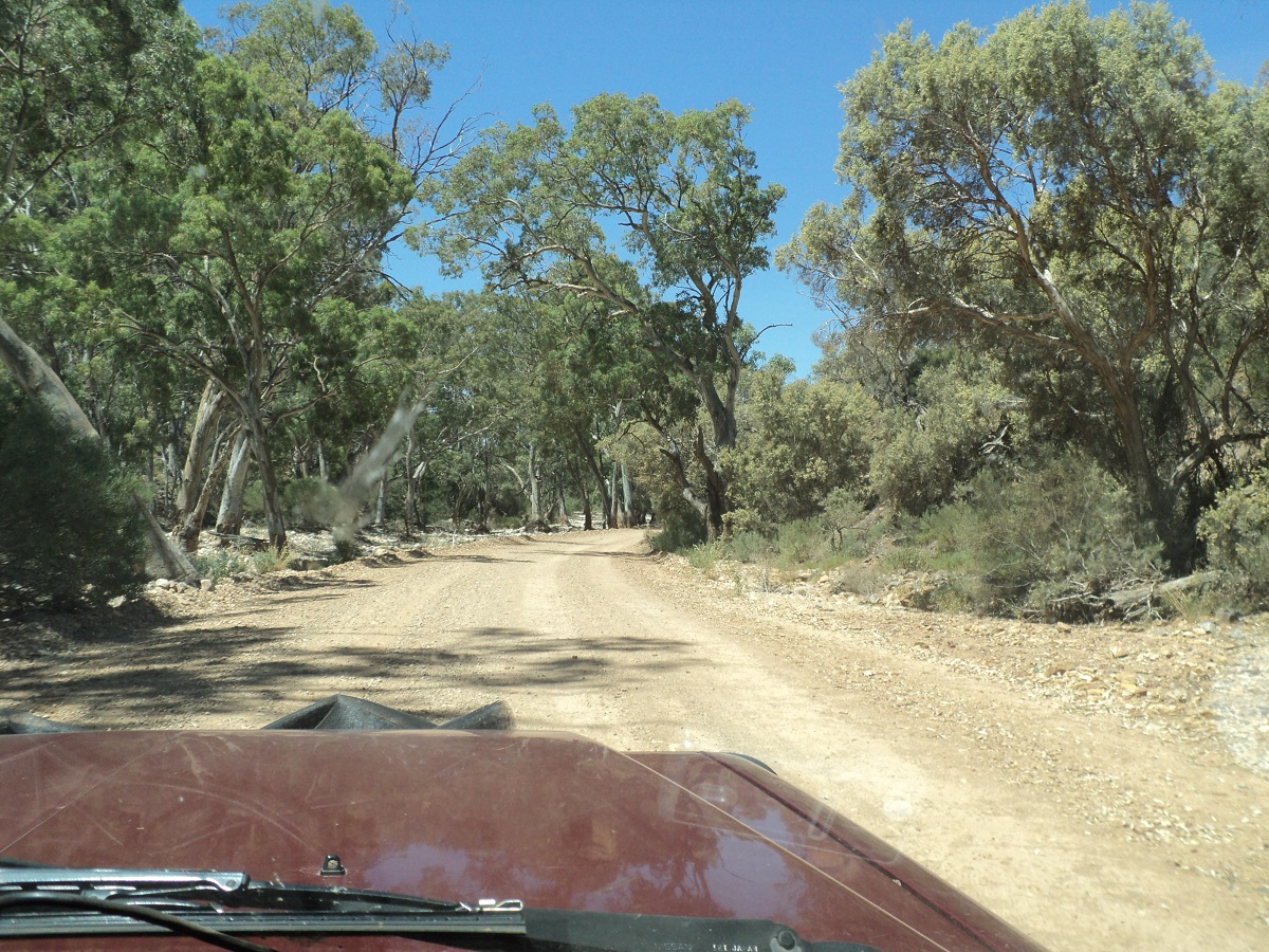
We drove east along the road which links Copley to Balcanoona and the Arkaroola Yunta road. It is a very pretty drive through the hills of the Northern Flinders Ranges with many twists and gullies. We bought an icy pole each at Iga Warta Store and Campgrounds along the road and then drove through the aboriginal township of Nepabunna. At a creek crossing we saw another mob of Emus ambling along the road. Our journey eventually brought us right out on the rise of a flat topped ridge which then dropped down to the plain below and the Yunta Road.
At Wertaloona Station I looked for a track as marked on maps to Moro Gorge but found none. If there had been a road it has long been in diuse. Later we took the road to Blinman and drove into Mt Chambers Gorge finding ourselves a good camp and lots of wood for a fire.
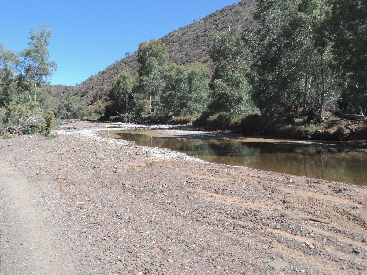
Mt Chambers Creek
I repaired the bonnet catch on the 4by which had malfunctioned again. Our water tank was holding for the time being. We were in bed by sunset which was just after 8.40pm as we were all bushed by the day’s events. Our fire burned itself out.
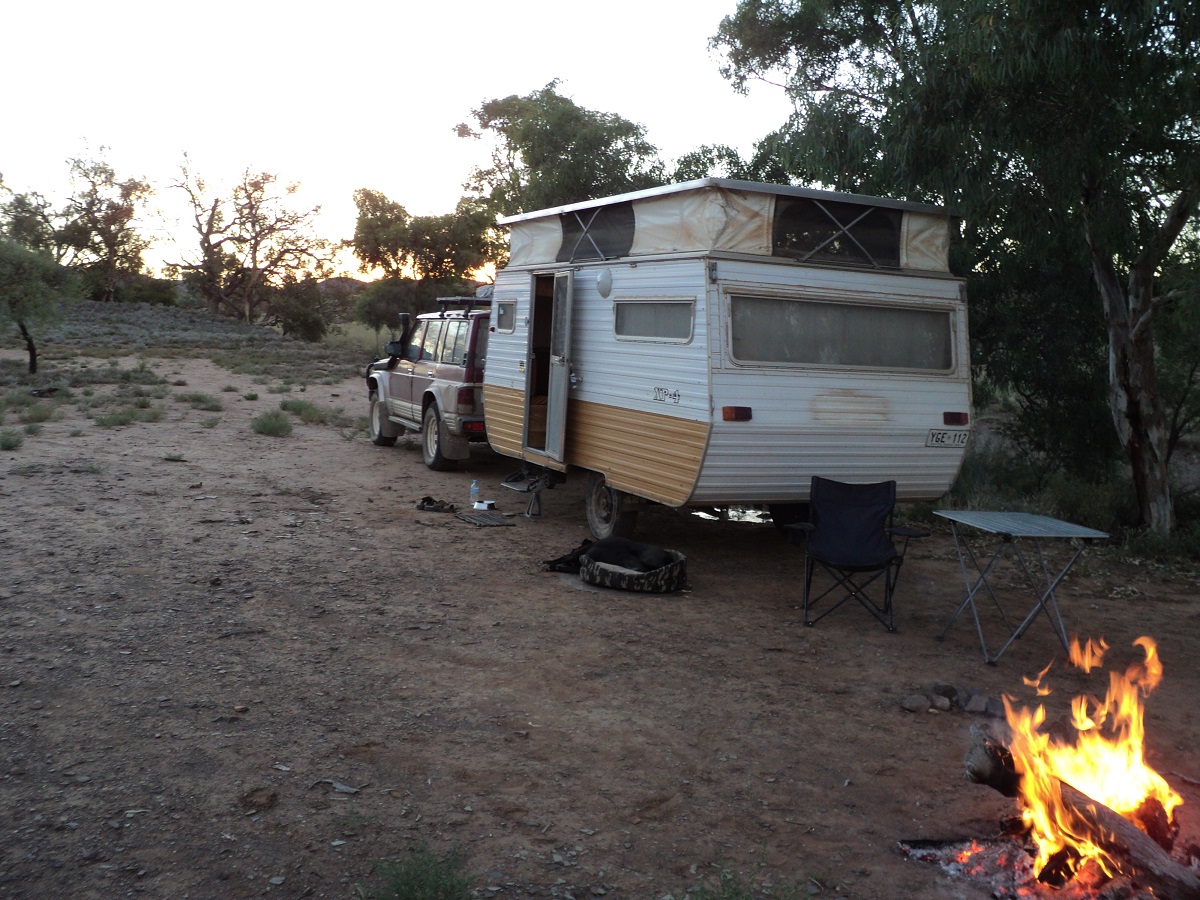
Mt Chambers Gorge camp
Before sunrise Jeddah stirred and wanted to go out and so the two of us went for a short walk along the undulating hills below the gorge escarpment. There is a well-worn two wheel track running over the small hills to no definite destination it would seem. Maybe we should check it out further next time we visit the gorge. I popped the bonnet of the wagon and saw that the belts needed a small bit of tensioning. Had to get underneath car to loosen alternator holding bolt and spied some wetness leaking out of aircon pipe. And this just after having the aircon repaired. Did the job and checked the aircon and yes, no cold air. Bugger!
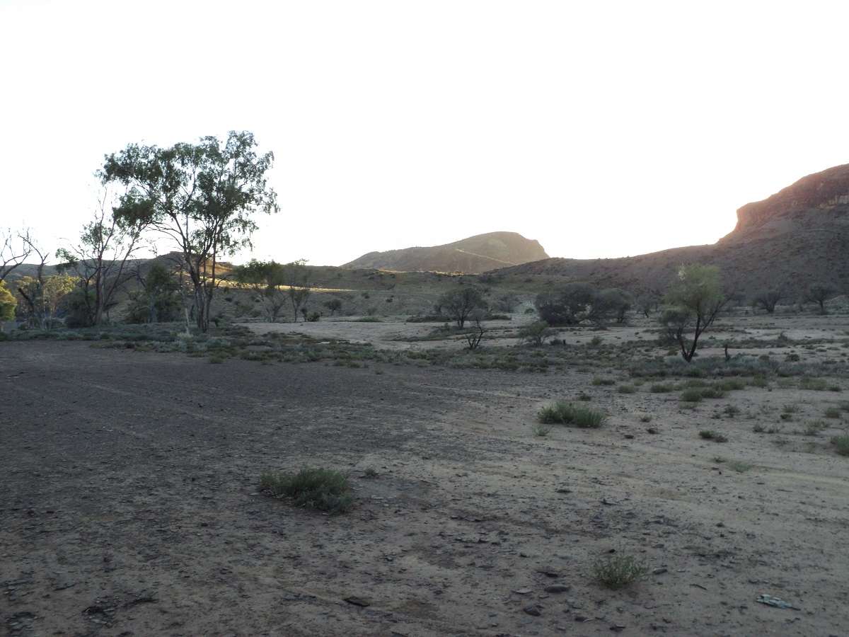
Mt Chambers Gorge
I doused the fire after breakfast and we took a leisurely drive out of the gorge after having our morning feed. A little way along the track which follows a creek-bed, and a small amount of water was running and cascading over a very small ledge but still making that wonderful tumbling sound. And this in the normally driest of places. The source of the water came from within a fissure on the edge of a small rise. Our journey now took us to Wirrealpa Station and further on to Martins Well Station eventually culminating at Arkapena Station on the Hawker/Wilpena Road. We only encountered two vehicles along the road. I reinflated the tyres to road pressures once again and we had a spot of lunch at the same time. I established by looking at my mapping that there may be access to Moro Gorge via Jubilee Mine but no doubt a variety of permissions would be needed.
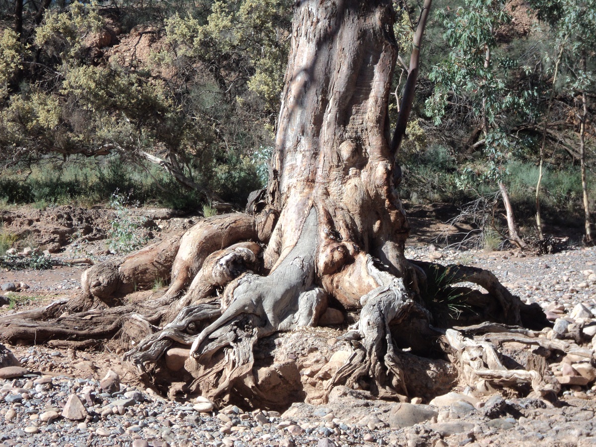
River Gum hanging in there
Spotted Rock
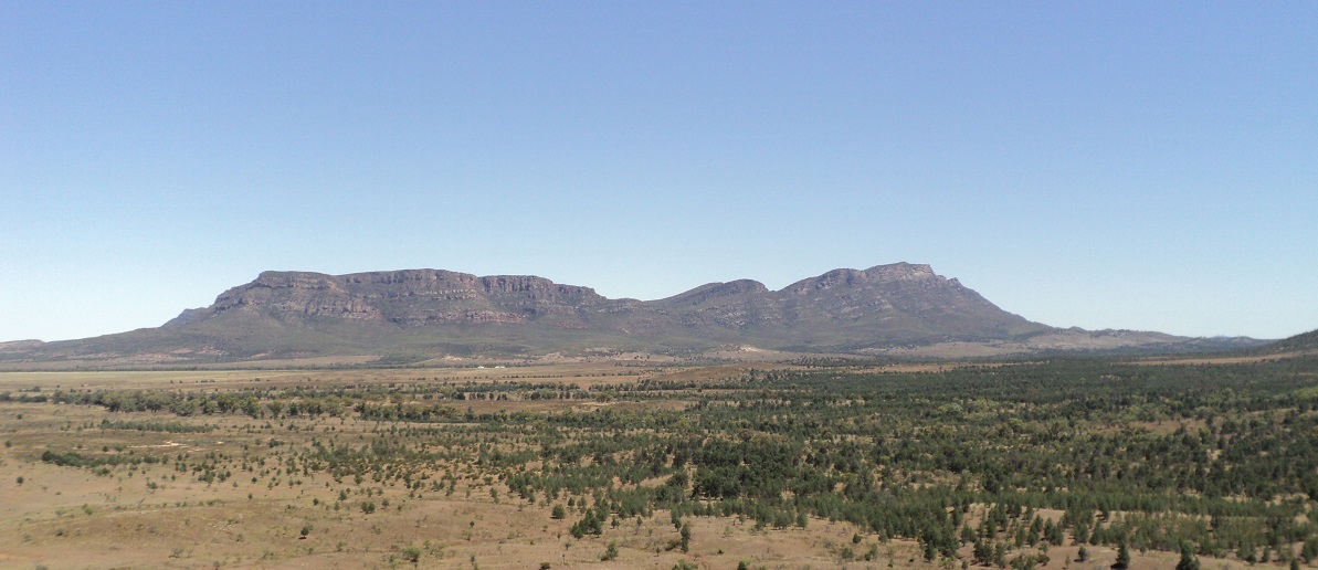
Wilpena Pound in the distance
Once back on the bitumen we cruised on home via Hawker and Orroroo arriving in the heat of the day in mid afternoon. The following two days were to prove to be a lot warmer and so we were pleased to be able to hide in the cool of our stone house for that time.
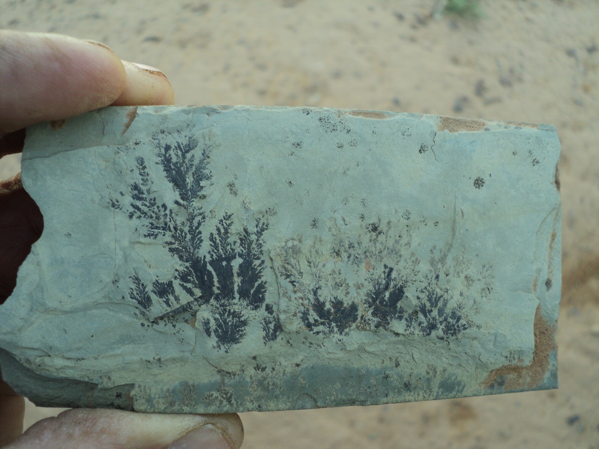
A treasured find
We drove east along the road which links Copley to Balcanoona and the Arkaroola Yunta road. It is a very pretty drive through the hills of the Northern Flinders Ranges with many twists and gullies. We bought an icy pole each at Iga Warta Store and Campgrounds along the road and then drove through the aboriginal township of Nepabunna. At a creek crossing we saw another mob of Emus ambling along the road. Our journey eventually brought us right out on the rise of a flat-topped ridge which then dropped down to the plain below and the Yunta Road.
At Wertaloona Station I looked for a track as marked on maps to Moro Gorge but found none. If there had been a road it has long been in disuse. Later we took the road to Blinman and drove into Mt Chambers Gorge finding ourselves a good camp and lots of wood for a fire.
I repaired the bonnet catch on the 4by which had malfunctioned again. Our water tank was holding for the time being. We were in bed by sunset which was just after 8.40pm as we were all bushed by the day’s events. Our fire burned itself out.
Before sunrise Jeddah stirred and wanted to go out and so the two of us went for a short walk along the undulating hills below the gorge escarpment. There is a well-worn two-wheel track running over the small hills to no definite destination it would seem. Maybe we should check it out further next time we visit the gorge. I popped the bonnet of the wagon and saw that the belts needed a small bit of tensioning. Had to get underneath car to loosen alternator holding bolt and spied some wetness leaking out of aircon pipe. And this just after having the aircon repaired. Did the job and checked the aircon and yes, no cold air. Bugger!
I doused the fire after breakfast and we took a leisurely drive out of the gorge after having our morning feed. A little way along the track which follows a creek-bed, and a small amount of water was running and cascading over a very small ledge but still making that wonderful tumbling sound. And this in the normally driest of places. The source of the water came from within a fissure on the edge of a small rise. Our journey now took us to Wirrealpa Station and further on to Martins Well Station eventually culminating at Arkapena Station on the Hawker/Wilpena Road. We only encountered two vehicles along the road. I reinflated the tyres to road pressures once again and we had a spot of lunch at the same time. I established by looking at my mapping that there may be access to Moro Gorge via Jubilee Mine but no doubt a variety of permissions would be needed.
Once back on the bitumen we cruised on home via Hawker and Orroroo arriving in the heat of the day in mid-afternoon. The following two days were to prove to be a lot warmer and so we were pleased to be able to hide in the cool of our stone house for that time.
The Oodnadatta Track 2010
Oodnadatta Track
The Oodnadatta Track is an iconic road made so and famous by the Afghan cameleers of the Nineteenth Century when they transported their goods on camels imported from Afghanistan to missions in the north of South Australia and to Alice Springs in the Northern Territory.
Bartons Gap
The Oodnadatta Tack and one of Adam Plate’s famous desert signs
We had been up and down the Oodnadatta a few times before but not all of us had seen the same sights so this time around we were going to visit Farina, Muloorina Billabong, Level Post Bay and Peake Telegraph Station, as ‘new’ places. Travelling north from where we live in the Southern Flinders Ranges we made it to historic Beltana Township for the first night and stayed over at a friends place there. The next day saw us go out to Warraweena Conservation Park just 26km east of there to spend some time our friends who are the managers of the the Park. Then it was back on the road on the third day and after helping out with an art project along the way we finally made it to Farina by the late afternoon.

Beltana Maze
Strange Maze at Beltana
Unbeknownst to us the Farina Volunteer Preservation Group were there doing some restoration work to the old buildings of Farina and were gathered in a great camp at the Farina Station Woolshed. The overflow of visitors were at the Farina Campground and some had gathered to take part in the leisure activities organised for the following day, Saturday. We had a nice campsite but after dark the generator noise of the surrounding camps made us move away and camp in the scrub for some peace and quiet.
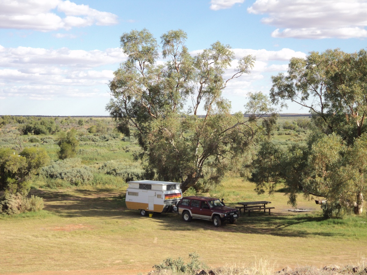
Farina Campground
Saturday saw us reach Marree with a fair stretch of the road between Lyndhurst and Maree now bituminised. Air traffic was busy with flights over Lake Eyre and we spied no less than seven planes parked on the runway and two taking off. Having been to Maree before we made for Hergott Springs, which lies four kilometres outside of Maree. This is where the township was first started when water used to be drawn for the Camel Trains. Later when the Railway line passed by the town of Maree was built. Then we made for Muloorina Station Campground which is situated on a man made billabong in the run of Frome Creek. The road to Muloorina was in good condition and we passed through the famous Dog Fence along the way.
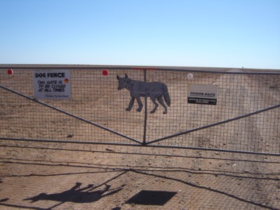
Dog Fence
Dog Fence on way to Muloorina
Many years ago artesian water was drilled for and a water driven turbine to power the station was installed near Muloorina Homestead. The overflow of the water accumulated in Muloorina Billabong, after some earthworks were installed. The result has been a build up of a wetlands area with a foreshore for camping on. A small fee is charged for overnight camping via an honesty box system. We found a likely camp site, dropped the van off and drove out to Level Post Bay on Lake Eyre for a look. The last 15km is notoriously badly corrugated as this part of the track is not maintained by Muloorina Station.
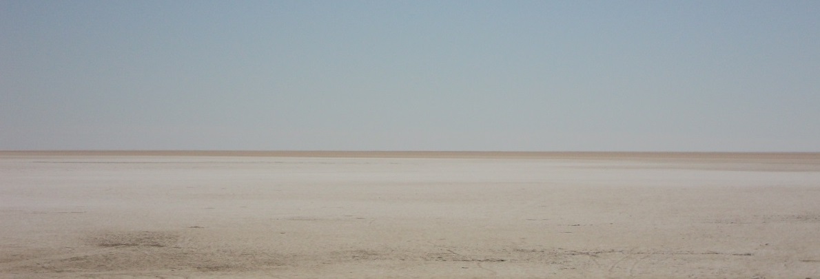
Lake Eyre North
The vast expanse of Lake Eyre
At Level Post Bay one can see a small part of the great expanse of Lake Eyre. Edward John Eyre proclaimed the fabled inland sea the greatest disappointment of his life when, instead of an inland sea with lush vegetation and green pastures all around, he found a dead dry salt lake instead. Back at Muloorina we decided to move the van to the other side of the billabong so as to have a view of the wetland and to be protected from the cold easterly wind which was blowing. We scoured around and found enough dry wood to have a fire to warm us up.
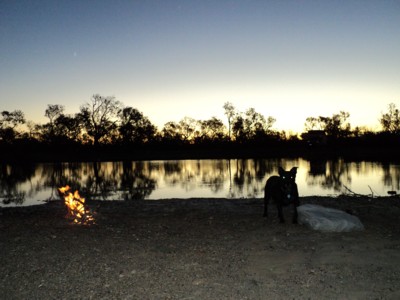
Campfire dog
Sunset at Muloorina Billabong
The following morning it was overcast and the wind had picked up and we decided that we would push on despite some predictions of rain. We saw dark clouds building up in the west as we started back on the Oodnadatta Track. At first it looked as if the rain would miss our path but drops started appearing on the windscreen at Alberrie Creek Station where the wonderful roadside art is on display.
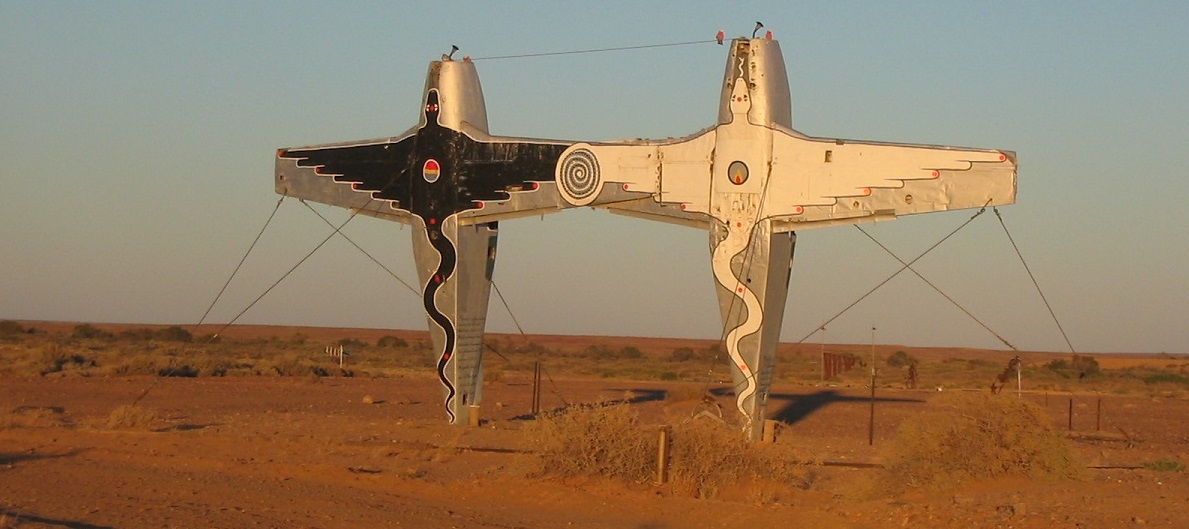
Alberrie Creek Art
In the mean time we had been over taken by some bike riders, a 4×4 and a fuel truck. Within the space of a short distance the rain came pelting down and the Oodnadatta Track turned into quagmire. The biker riders had stopped, the 4×4 was on the side of the road with a flat tyre and the fuel truck came back at us over a hill, sideways. I asked the driver over the radio whether he was giving up and he replied that he would be destined for a certain bogging if he had continued on his journey. By now the caravan was difficult to control. I was in 4×4 High Range, 2nd gear and crawling along at 20kmh. As my road tyres stick out beyond the width of the mudguards (the flares have been removed) clumps of mud were being thrown onto the van and the wagon. The windscreen wipers bore the brunt of the mud and soon failed so I left it at that and waited for the rain to wash the mud away. We managed to reach the crest of a hill where I parked close to the side of the road while we ducked into the van for a spot of lunch. A couple of vehicles passed and then it was quiet. About an hour later the rain eased and we continued along our muddy trail. The same journey continued with the caravan making it difficult to control forward movement with ease. Water lay on the adjacent pans and I was looking for a place to pull up for the night. Eventually I saw what looked like an old railway yard with a loading ramp and walked in to test how firm the track in was. It seemed good enough and we made it in and were able to turn the rig around to shelter us from the wind. We found some fire wood, doused it in diesel and started a fire for warmth and comfort.
Mud on the van
Mud on the van
The road was quiet but a single 4×4 passed with a rooftopper tinny and towing a Kimberley Karavan. The driver waved and sped on. We were to meet again along our journey in extraordinary circumstances. Some showers fell during the night but the next day we woke to almost clear skies.
Our next port of call was Lake Eyre South and we were delighted to find that the southern half of this lake had a cover of water which shimmered in the morning sunlight.
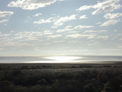
Lake Eyre
Lake Eyre South shimmering in the sunlight
It was a sight to see. Further along the track and at Margaret Creek we were surprised to see clear water flowing under the culvert and into the lake. Even more surprisingly we found schools of Inland Perch fish, about 20mm in length, trying to swim upstream. We were told later, by the publican of the William Creek Hotel, that at times, Dingoes gather at the culvert to have a feed of fish.
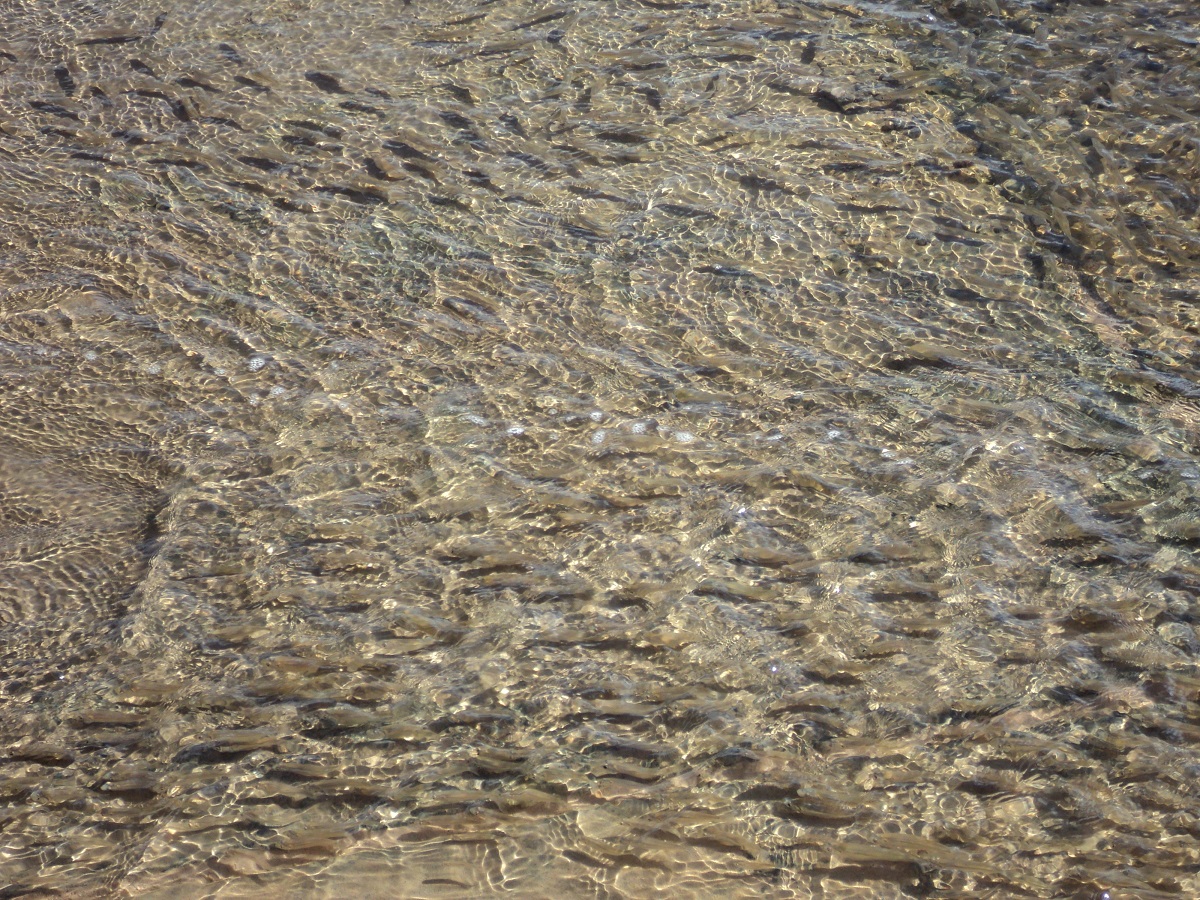
Inland Perch
Fingerlings
We drove in to the mound springs made even more famous by naturalist David Attenborough’s account of them. There is Bubbler and the Blanche Cup. In the old days one could climb in to the Bubbler when every now and then a large gas bubble would come up from somewhere down below and push you upwards and out of the water depending on your weight, ofcourse. New management practices do not allow this any more. Many more mound springs are found within this part of the Great Artesian Basin. Amazing little water slaters live within the mound springs. The surrounding countryside which is virtually clear of vegetation, has a stark beauty about it.
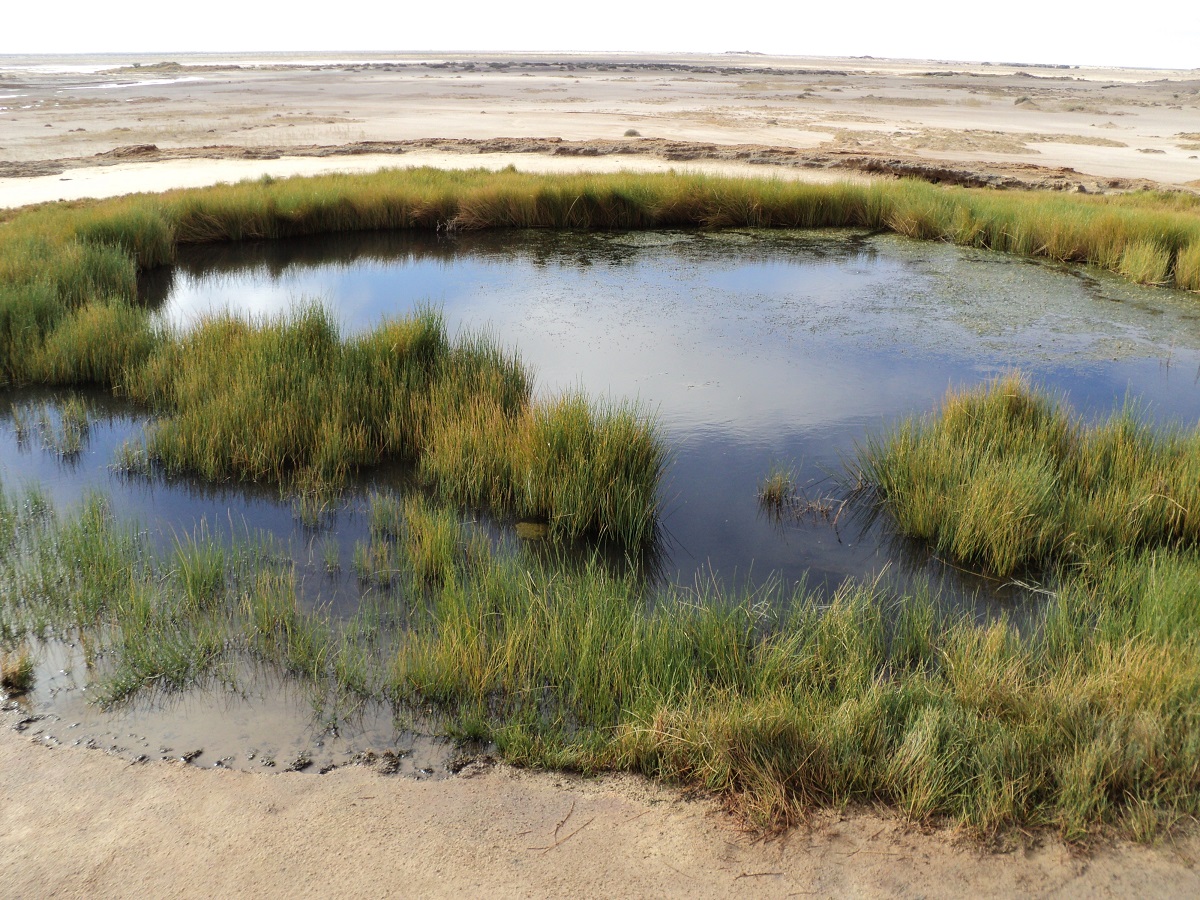
Mound springs
Lush green compared to starkness of the desert
By the time we arrived at Beresford Ruins we were ready to set up camp for the day on the shores of the billabong. We found enough firewood to boil the billy. I got under the van to scrape off some of the resident mud left there from the previous day and Judith did a painting of the old Station Masters House. The day was quite warm as was the night but by the following morning things had cooled down a bit.
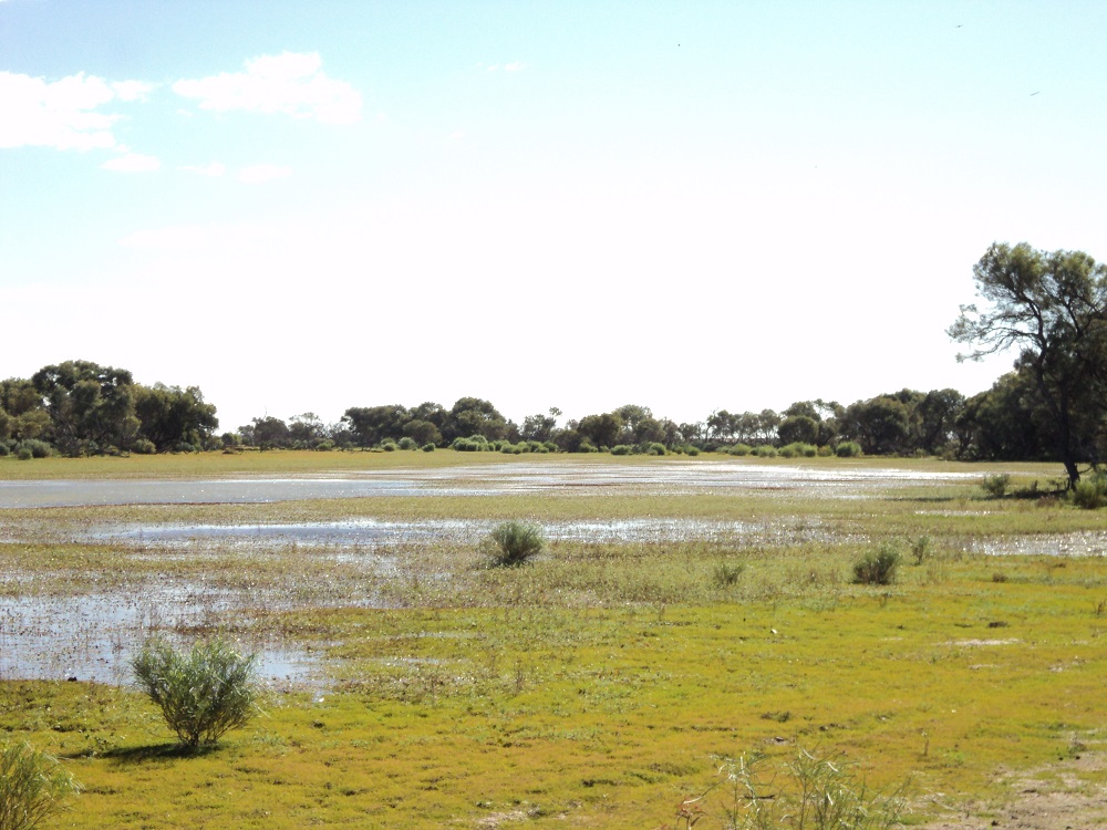
Beresford Lagoon
Beresford Lagoon like you seldom see it
The local Dingoes gave us an early morning chorus. At William Creek we had a hot chocolate as a treat and a chat to the publican and checked out road conditions further north. At first the road seem good but the progressively became worse with some horrendous stretches of corrugations. We took it very easy and slowed the pace down to a crawl. Then the road improved again and when I saw a sign stating Peake I drove down that track only to find that I had taken the track to the station. Back on the Oodnadatta again we took the old track to Peake OTRS (Overland Telegraph Repeater Station). The sign stated that it was 21km to Peake and Judith wasn’t happy about taking the van there but relented in the end. By the time we returned to the road again she was very happy that the van could manage such a rough road. Peake OTRS was built around mound springs and judging by the many buildings there, the place must have been a hive of activity in the late nineteenth century. There was also an old copper mine nearby. The 21km in turned out to be 16km and not so arduous but at times the old Millard poptop was travelling at acute sideways angles.
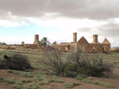
Peake OTRS
Peake OTRS: A busy place in its heyday
We moved on to Algebuckina Bridge. About 20 years ago we had camped at Algebuckina Waterhole and were keen to do that again. On arrival at the turn off I saw that there had been substantially more rain in the area with puddles of water lying about. After we had passed through the gate we came to a stretch of ponded water on the track and I had seen where other before me had made a detour through the bush. I got out of the truck and tested the firmness and then decided that it would be OK to drive. It was soft however but we got through and then more water confronted us and I thought that it was best to quit while ahead. Some delicate forward and back maneouvers were necessary to get the van turned around. On the way back out I saw that my tracks had made deep indents in the ground and keeping that in mind I decided to drive to the right of the ponded water. Just as well I was in 4×4 as the GQ sank down into an ooze resting beneath the surface. I kicked the old truck in the guts and we clawed our way out of the potential boghole to the great relief of all. I did not envisage spending a night digging my way out of the mud. The Neales River was running over the causeway below Algebuckina Bridge and so we decided to drive through it to wash some of the mud off and also as a precaution to a potential rise in the waters from the rain showers in the distance. We found a good camp site. I gathered some wood but it would not fire to make the evening a social occasion and after tea we had an early night, worn out from all the excitement of the day.

Algebuckina Bridge
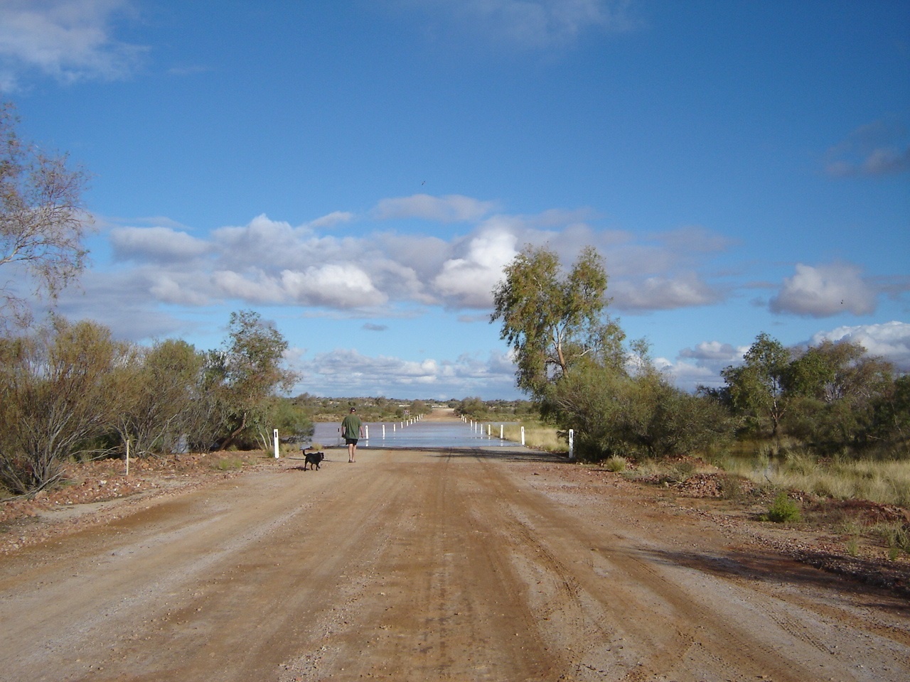
Algebuckina Creek
The following morning we pressed on for Oodnadatta wading through a kilometre stretch of water near the intersection with the Coober Pedy Road. We had another hot chocolate and left a message from to friend to the owners of the Pink Roadhouse who were away at the time.
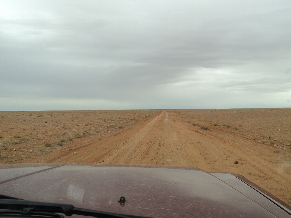
Oodnadatta Track
The rest of the trip was quiet with the road improving as we made for Marla. We stopped at Junction Waterhole and chatted to some other travellers towing a largish van who were making for Oodnadatta that evening. Once on the bitumen and with tyre pressures up to 35psi we made it to a gravel pit about 50km short of the Northern Territory Border where we camped for the night. We were about 300 metres from the highway and out of sight and the road noise was minimal for the night. We drove in to Alice Springs just after lunch the following day.
A Binns Track Encounter 2010
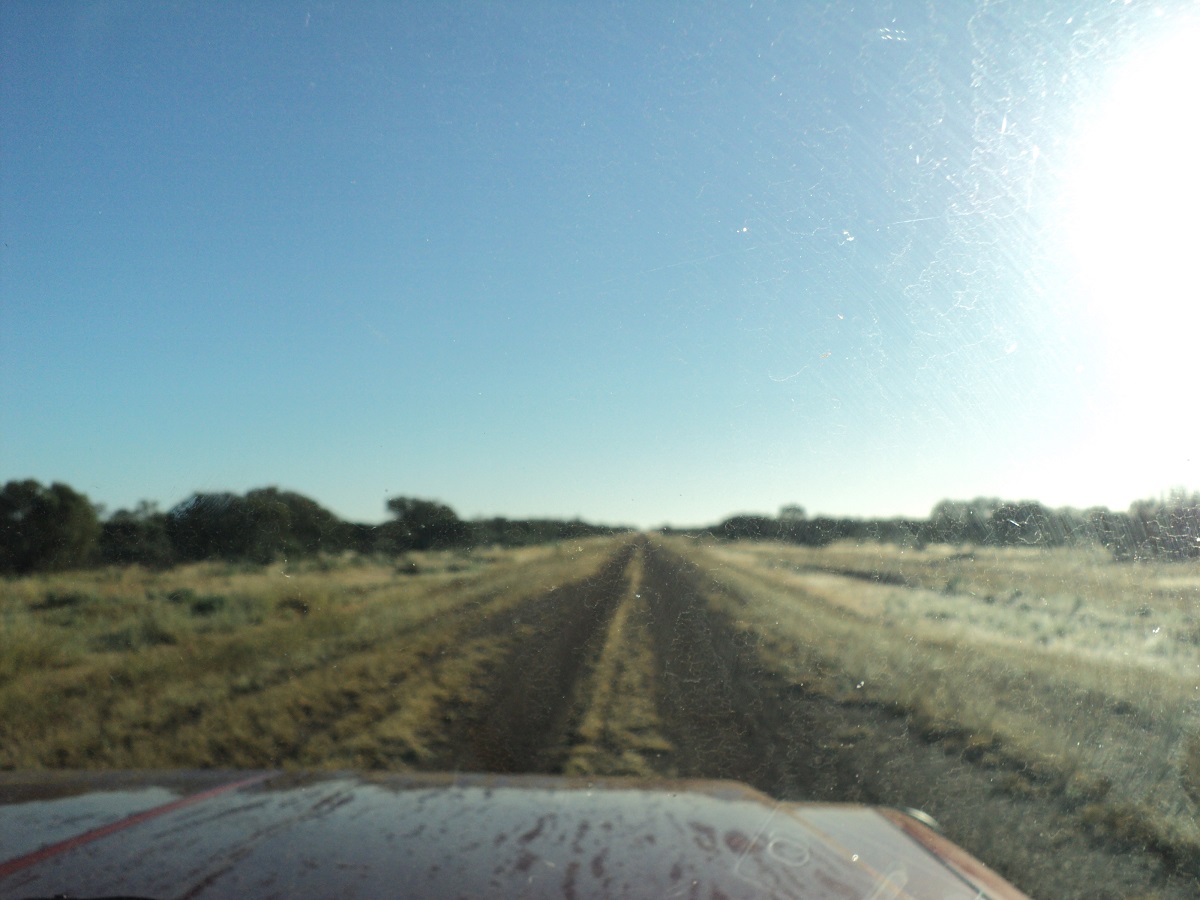
Binns Track
We had driven the Plenty and the Donohue Highways before but this time we wanted to drive the only section of the newly created Binns Track in the Northern Territory, that we had not done before, and this route included a visit to Box Hole Meteorite Crater.
I visited the Alice Springs Information Centre for more information and was met with a blank stare from the young lady behind the counter who had no idea what I was talking about. I did mention a 4wd track and then she came along with a publication that covered some of the info required. I scoured the internet road report sites for information as there had been a lot of rain the past few months and many roads were impassable due to wash-outs or water-ponding but saw little evidence of road damage reports.
I always drive the Plenty Highway with trepidation as it is strip bitumen for around 120km and invariably there are vehicles speeding along it, throwing rocks and pebbles in all directions and damaging ones windscreen. We made it to Harts Range Community without incident where I thought it prudent to top up with diesel as we were envisaging a long drive to Mount Isa with dubious fuel supplies along the way. Many times I have rocked up at an outback community and they have been either out of fuel or away on sorry business. This time around the shop was closed until 2pm so we went for a drive around to look at things including the Art Centre and old fossicking sites.
The short distance between the community and the Binns Track turnoff was severely corrugated, probably due to the fact that many locals drive cars with highly inflated tyres. This section of the Binns Track passes through McDonald Downs, Dnieper, Derry Downs and Ammaroo Stations. We crossed the Plenty River’s sandy base and the road was in reasonable condition to Dnieper Station. Close by lies the Box Hole Meteorite Crater, something that I had set my sights to see at one stage or another. It is marked as lying close to the station homestead to the north. We could not find an entrance and decided to go to the station homestead to ask for more information. However, right at the entrance gate to the homestead paddock was a sign showing the way through a gate to the crater. The bush track in was wide enough for the caravan but close to the crater and with nowhere to turn, was a deep little creek. I walked it and had a look and figured the van would be OK and drove through. At the crater there was no signage but it had been fenced off with barbed wire. Luckily the access point through the wire had been replaced with smooth wire so that we could squeeze ourselves through without getting our clothing torn. The crater is quite impressive, being about 20 metres deep and about 100 metres wide and we spent some time filming and exploring the area. We scoured the site for tektites but found none.
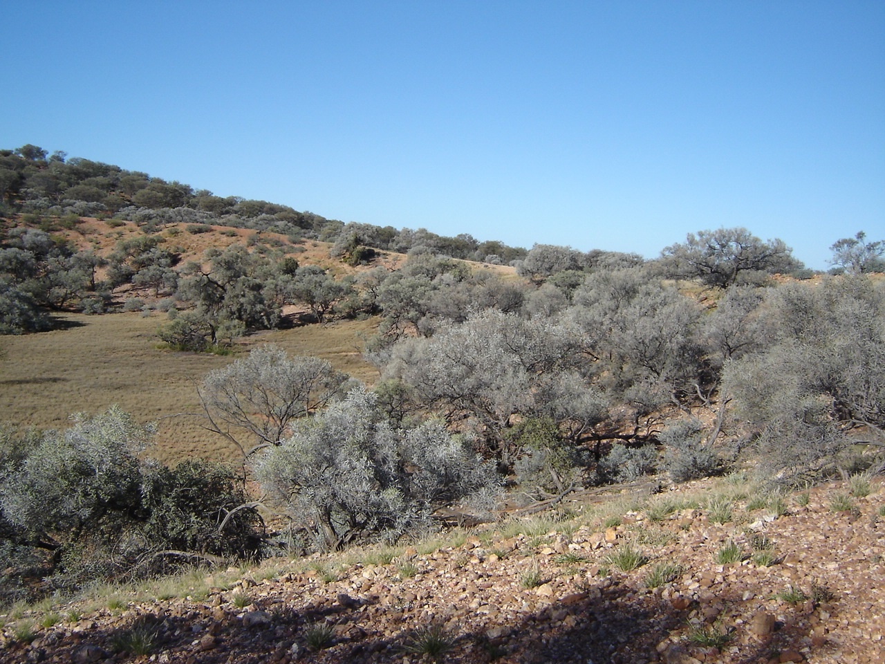
It was getting late when we got back to the Binns Track and drove about 5km up along the track before we pulled off into a clearing for an overnight camp. It was a beautiful clear starry sky that night and we found enough dry firewood to warm us around the camp fire. Early the following morning the local Dingoes sang their mournful songs telling everyone in the bush of our presence.
The countryside was still drying off after unprecedented amounts of rain in the centre of the Australia and there were numerous wash-outs and muddy patches along the way. The early morning threw a brilliant light on the vegetation and we both looked at a scene of lush growth that one seldom sees in these desert regions.
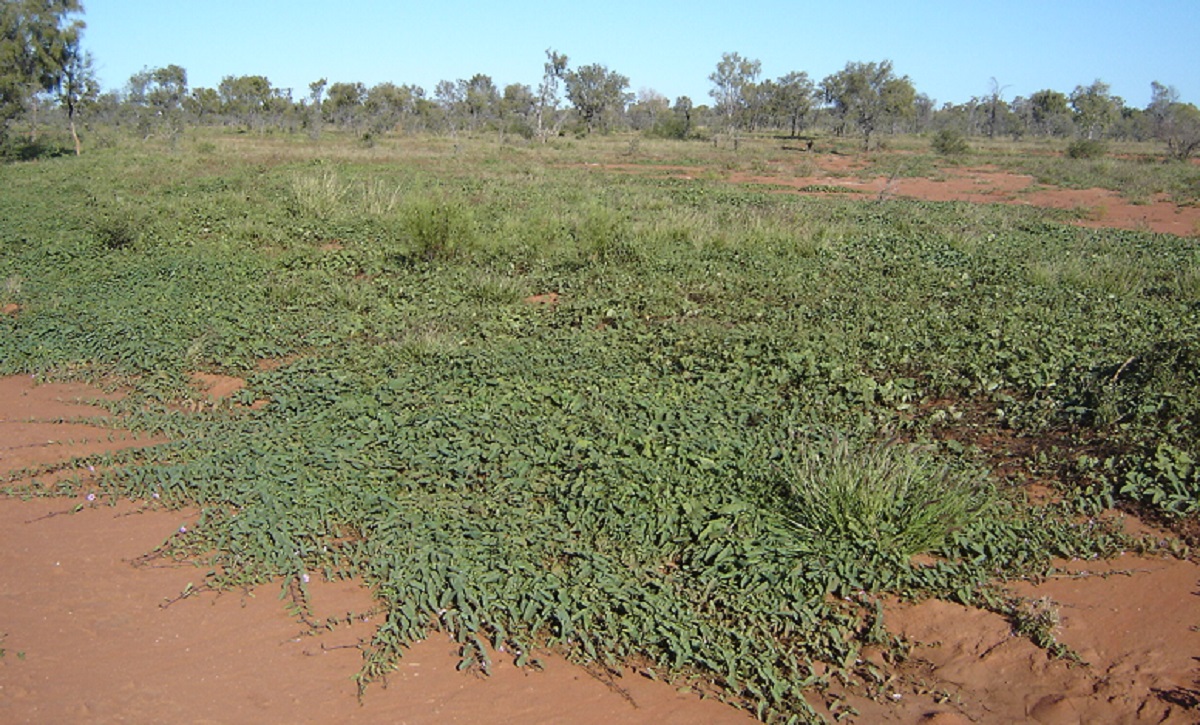
Wild Morning Glory Vine
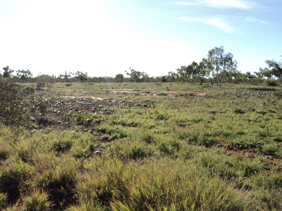
Paddy Melons
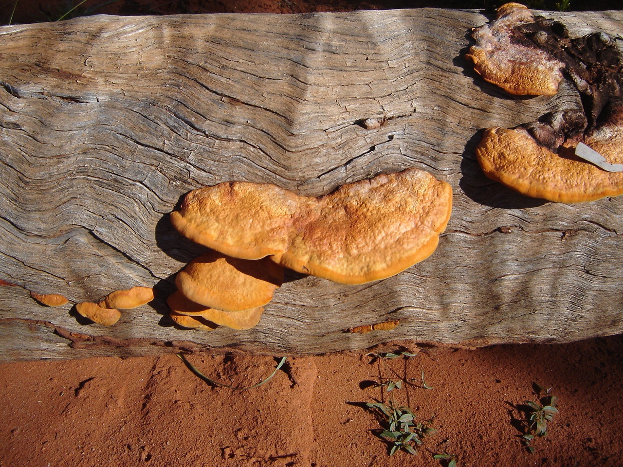
Orange fungi
Paddy Melons and Native Morning Glory were prolific and even bright orange fungi was growing on a dead log. The grass was chest height in places and the cattle were fat. The condition of the track became worse as we drove further north and we had to negotiate the wash-outs with care. It did seem however that there had been previous travellers on the track and we assumed that the track was open right through to the Sandover Highway, where we wanted to get to.
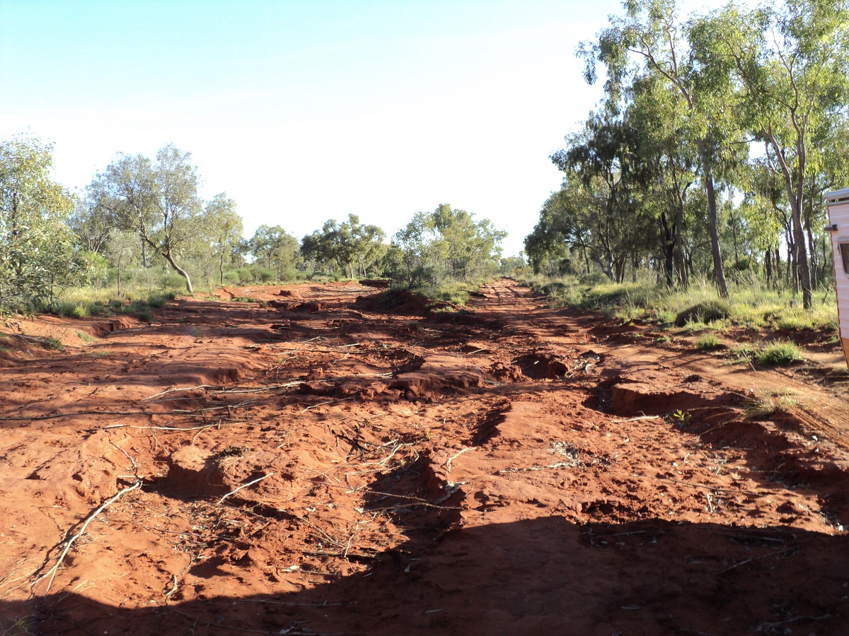
Washed out Binns Track
Six kilometres short of Derry Downs Station the track turns to the west and according to my mapping crosses the Bundey River. A track goes north to Derry Downs Station homestead and another veers off to the north-east to Arapuntja Community. We had to negotiate a severe wash-out very soon after turning west and it seemed that a bypass track had been made by previous travellers in between some mulga trees. We decided to go that way too though the branches of the trees brushed up against the side of the van. The Bundey River is about 500 metres wide at the crossing point and is quite sandy with mid stream sand banks and tree growth. The track was quite washed out over the sand banks, but negotiable even with a caravan in tow. As we reached the middle of the river we saw what looked like a caravan parked under a tree and were surprised that someone would park there. On closer inspection it turned out to be a mishap. The van was on an acute angle pushing the Pajero 4×4’s towbar into a swamp. The Pajero was loaded to the hilt and including a tinny on the roof. It transpired that the driver had negotiated the water section but then had bottomed the Pajero out on the sandy track and in trying to get a better run at the track had bogged the rig beyond rescue. He had engaged diff-locks front and back and had tyre pressures down to 10psi.
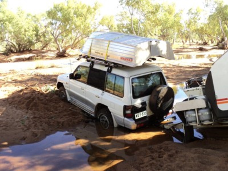
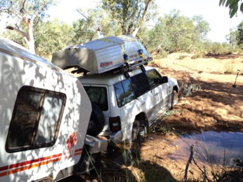
All of this had been to no avail. He had no real recovery gear except sand mats and as he was on his own he was unsure what to do next. He had been there for 24 hours when we came along. He had called a number of people including the Police at Utopia Community on his satellite phone and they, (the Police), said that they would be there to assist by lunch time the following day. I said that we would go and look for an alternative crossing near the station homestead. So we backtrack through the river by reversing and doing a 5 point turn to get the rig turned around. Then we drove to Derry Downs some six kilometres to the north. The Homestead is now unattended as the station was bought up by the neighbouring Ammaroo Station some time ago. We could not find an alternative crossing at Derry Downs Station and so we had lunch in the shade of a tree and then drove back to the bog site. We unhitched the van at the tricky spot as I had noticed that we had put minor dents in the side of the van on our way back through the Mulga. We were met by a Policeman by the name of Ray, dressed as if he was going to a function, walking towards us along the sandy track. After introductions and some discussion about winching, it was decided that I would attempt to pull the Kimberley Karavan backwards with a snatch strap combination. I had to pull the van up and over an embankment and then we would attempt to turn it around, hitch it up to the Nissan and take it back across the river. This operation took two hours with me affecting eight snatches to get the van turned around before having to drive over a sandbank to get it hitched. Then there was much forwarding and reversing before I could safely tow the van out. During this process one Policeman got knocked over by the reversing caravan but luckily sustained no injuries. The owner of the Kimberley caravan, Jeff, came with me. The Nissan struggled with the van in the sand so that I had to use Low Range. I asked how much the van weighed and Jeff replied that it weighed around two and a half ton! No wonder my old bus was struggling! Then it was back to the stricken Pajero but that only need one snatch to get it moving. In retrospect I should have winched the van out which would have gone a lot smoother but I am not sure if the person being rescued would have been happy to take the breakage risk which I would have insisted upon. Later that evening we quaffed a few wines and munchies around the campfire. It turned out that Jeff had a mini wine cellar hidden in the depths of his van. The following day our journey took a 125km retracing of our steps as we made our way back to the Plenty Highway where we parted company with Jeff, who was on his way north.
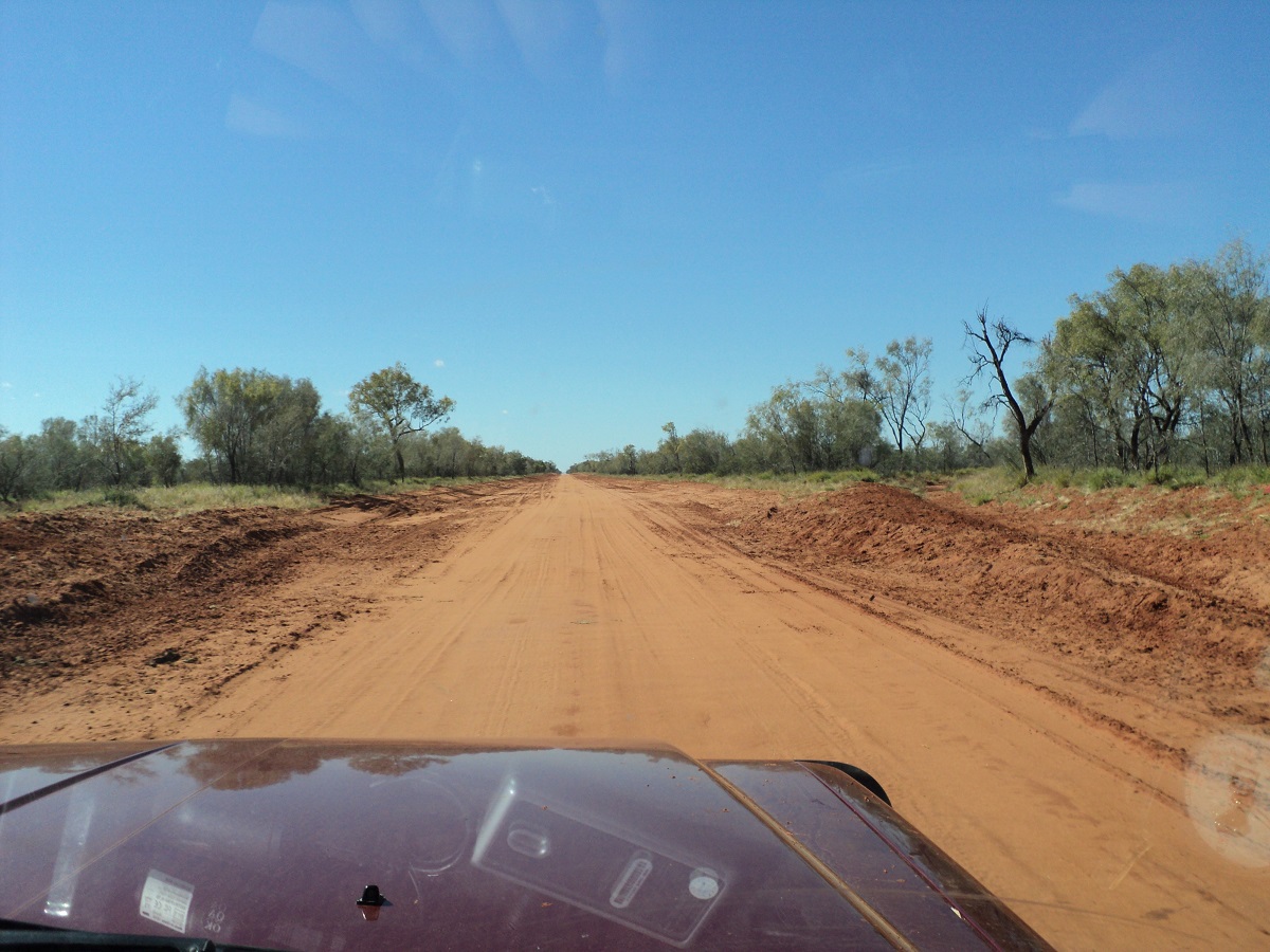
Plenty Highway
Initially the Plenty Highway was very corrugated from that point onwards but it improved as we drove towards Jervois Station as road works had been done before and some were happening at that time. At one stage I was stopped by a B-double roadwork operator driver and he asked me if I had plenty of money as I was deemed to be on a restricted section of new road works and that fines for doing as much were excessive. I replied that there was no Detour signage in place. He argued that there was so I challenged him that we should go back and check as I was only driving at 40kmh and could not miss a bloody Detour sign! I suggested that he may have knocked the sign over with his back trailer and so he gave me the benefit of the doubt and showed me where to get off the precious road works. We had an ice cream at Jervois Station and then travelled on to Arthur River where we found a beaut camp spot on the banks of the dry riverbed. We stayed two nights and cooked good tucker over the open fire. Judith painted while I did computer stuff and the moving of the solar panel every now and then. Such are the things we do out in the bush!
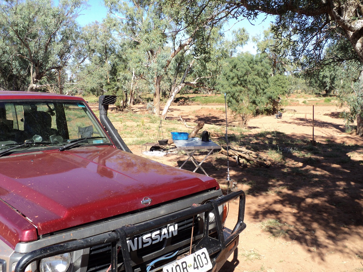
Arthur Creek camp
The Diamantina River Run 2010
Before leaving Boulia we spent some time at the Stone House Museum, which houses, amongst other exhibits, an excellent display of Marine Fossils of 100 million years ago. Set in the grounds of the museum is an extensive vertebrae and invertebrate fossil display which originates from the Boulia area. A new discovery of an adult Icthyosaur skull found to the south of Boulia now takes pride of place in the museum’s display. The fossil displays are very good. Local amateur paleontologist, Dick Suter+, and his mates have been digging up these fossils over the past 50 years. Dick has been painstakingly removing the rock away from fossilised bones in his unconventional way, which does not always meet with approval with the specialists from the Queensland Museum in Brisbane, or so he relates his tale.
Pliosaur
Pliosaur kronosaurus queenslandicus. From the late Jurassic to the late Cretaceous these animals roamed the earth.
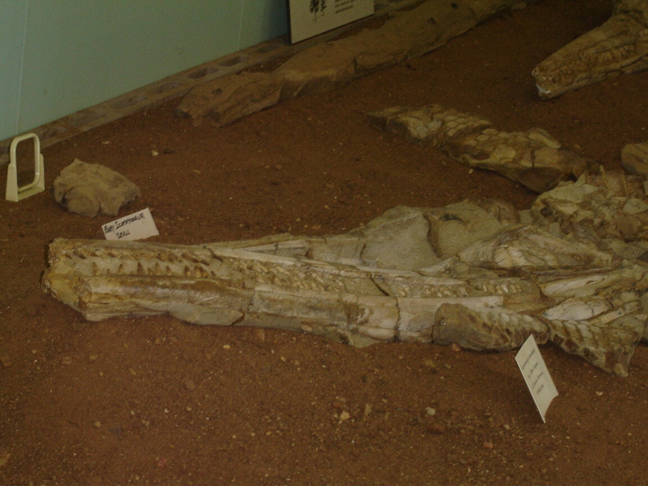
Boulia fossils
Leaving Boulia we made our way along the Springvale Road towards Diamantina Lakes National Park on the Monday with the view of taking it easy as the road was supposed to be closed until the Wednesday. Near Warra Station turn off I found a road works quarry and we stayed there for the night. Three vehicles passed on the road before sundown but out of sight , and then all was quiet. It was a cool evening as we sat around the campfire before tucker time talk about the Min Min light and our journey through the National Park. I had wanted to drive the Diamantina River Road for a while now but our furry mate, Jeddah, the Blue Heeler X, who travels with us and is not allowed in some National Parks. I had seen on my mapping however, prior to setting off along this route, that a 2km wide Stock Route exclusion zone is set aside for the major roads and that the National Park is cut up into three sections. This must have been done so that surrounding stations have easy access to markets through the National Park. So I felt assured that we would be right in doing our trip.It turned out that the Stock Route was indeed valid and so we did not enter into the National Park at any stage
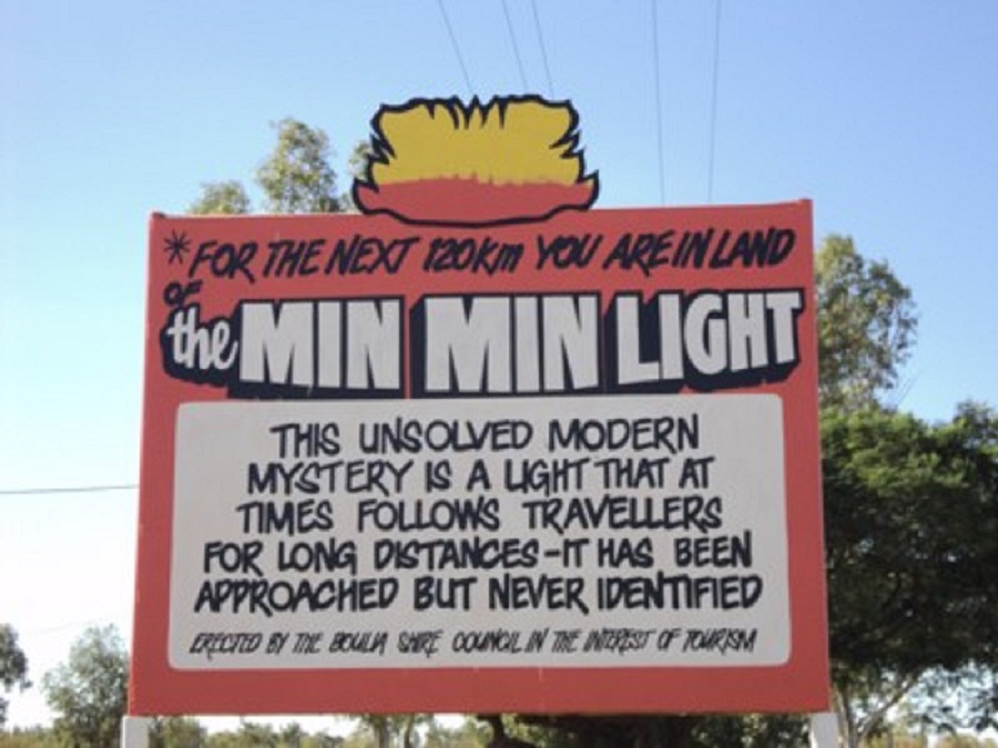
Min Min sign
What happened next I state below as a honest and truthful report:
“I came out of the van after tea at around 8.30pm and said to Jude. Look! there is your Min Min Light. The light was glowing quite brightly behind a clump of trees about 200 metres away. I walked over to the front of the 4by and the light seemed to follow me to its left so that it was exposed out across the plain and still about the same distance away from me. Then it went back to its original spot and rose up a few degrees above the trees and then lowered again to its original position. We then went into the van to have some after dinner snack and about ten minutes later looked out again and the light was gone”.
We shook our heads and wondered if it wasn’t perhaps the Evening Star Venus shimmering in the haze and mirage of the evening atmospherics.
“At around 3am I awoke with a start to see a bright light shining outside my window. It seemed to hover there for a few seconds and then drifted away to its left.
I got out of bed, peeped through the window at first and then went outside. Only a clear starry night was there to greet me. Being a logical and practical person I figured that I must have dreamt the whole thing. Or did I? Reading the story of the Min Min light throws up too many variables and leaves a doubt in one’s mind.”
Our nightly visitor was absent in the early morning light as we made our way to the east stopping off an Elizabeth Springs, which in the past had run strong as artesian mound springs, feeding a watercourse up to eighty kilometres in length. But successive droughts and the drilling of artesian bores in the past has lowered the water table and all but dried the springs.
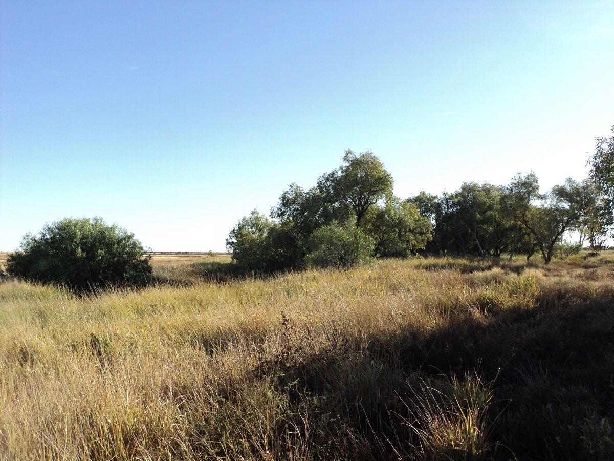
Elizabeth springs
Later in the morning we came across two 4×4’s towing Bushtracker Offroad Caravans. They reported a lot of mud around the National Park Headquarters and that some skill was necessary to get through. I told them of one water puddle we had passed through which would pose no obstacle as long as they stuck to the middle of the road. We drove the Diamantina Channels which were wet with tepid green slimy water and came to where the Headquarters of the National Park was.
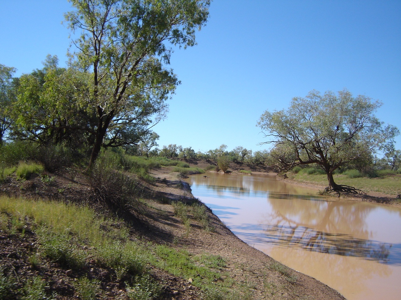
Diamantina channel
From a short distance away it looked more like a jumble of old vehicles and demountable buildings. At the Windorah-Winton Road intersection we encountered a road works camp and the start of a newly graded road towards Winton. We took that road, drove up and over a low range and found the graders on the plain below.

Diamantina vista
There was no mud to be seen anywhere but I suspect that the mud may have been on the Windorah side ot the Park HQ. Having passed the graders with a friendly wave and a G’day on Channel 40 we came across a long patch of ponded water. I saw that other vehicles had gone around this section over dry country and decided to do that ad well. Normally I would stick to the middle of the road as it is the hardest surface and the least chance of getting bogged but this time I was lucky that the surrounding soil was dry and we made it through without sinking in.
That was the last water obstacle. On the edge of the National Park are the ruins of the Mayne Hotel which did business there some years before when the stock route was in full operation. Once exiting the National Park area we came on to Brighton Downs Station pastoral lease.
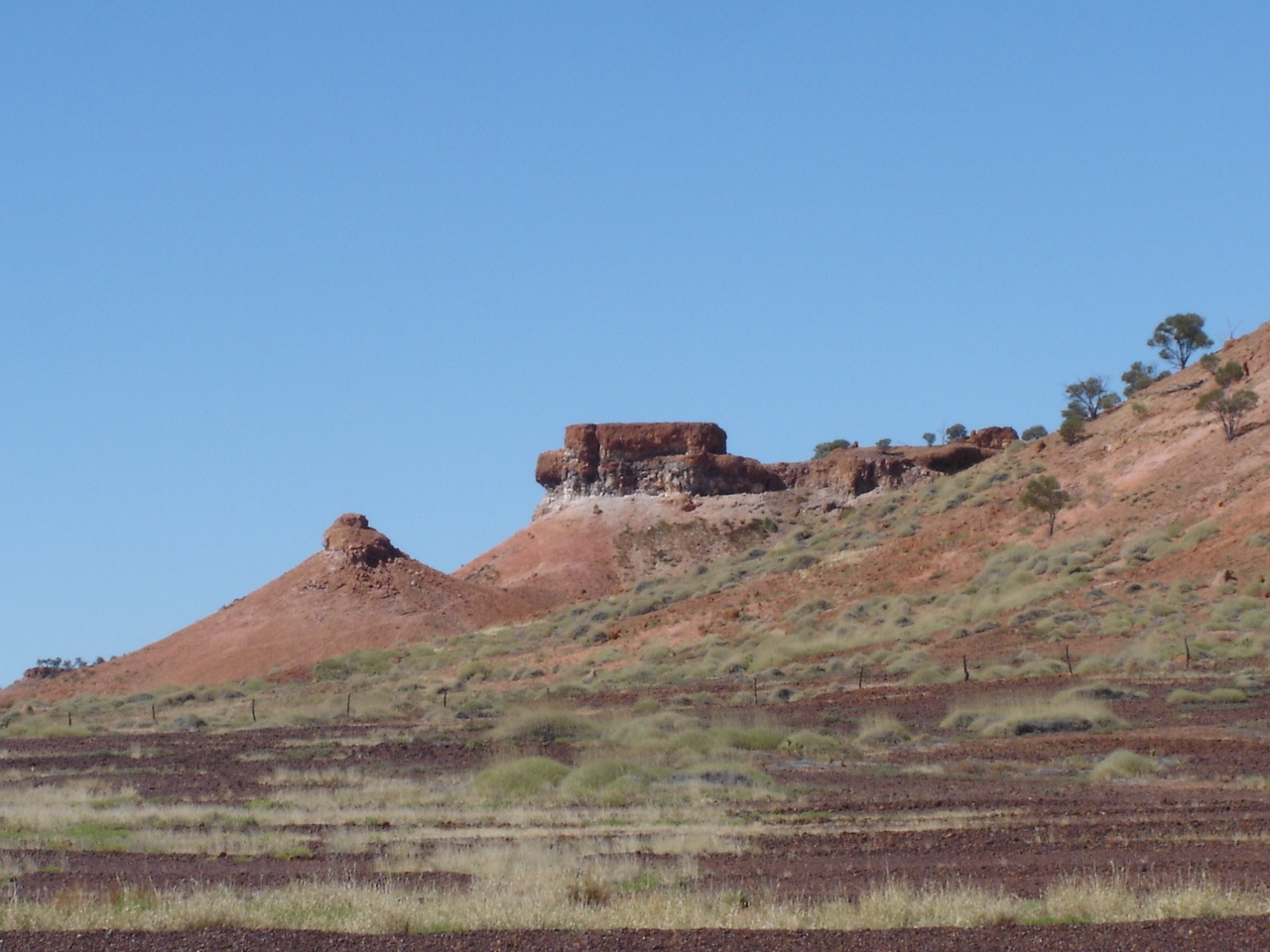
Brighton Downs hills
This station is one of the AACO properties and1 million acres in size. The scenery abruptly changes from open plains to mesa topped and conical hills and then back to low lying country again. We had a look at Billyer Lake which was full of water and a kilometre or two in length. Close by were mobs of Brahman Cross cattle and our dog Jeddah had a lot to tell them about what we do not know. I called Brighton Downs Station up on the UHF and asked after a bloke I knew who was working there. He was way out in the bush repairing a dam however and I had arranged to meet him in Winton later in the week anyway. About 16km north of the station homestead we found a good road works quarry and pulled up for the night. There was enough dead wood around for a sociable fire but we had to drag most of it a fair way. A most colourful sunset greeted us that evening

Brighton Downs sunset
We skirted the Diamantina River over mainly plains country having to cross some rivulets along the way. The graders were busy on this section of the road as well. At Old Cork Station we missed the turnoff and had to back track to have a look at the ruins. A crude sign on corrugated iron pointed out to the Old Cork Waterhole and decided to have a look anyway. There were some campers leaving that instant and told us about there being plenty of ‘Yellabelly’ in the billabong. Not being one of the passionate fishing brigade we accepted their knowledge with a smile. There is enough space on the eastern bank of the billabong for 8 camps giving some privacy from one another. We drove down to the end of the road to have a look at the 24 bladed windmill.
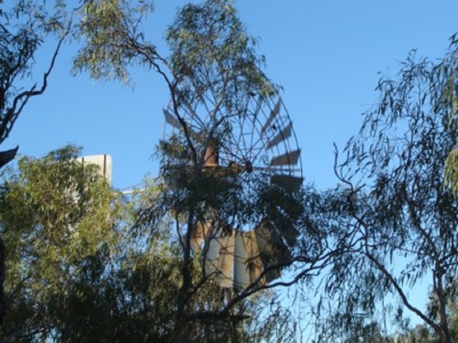
Old Cork windmill
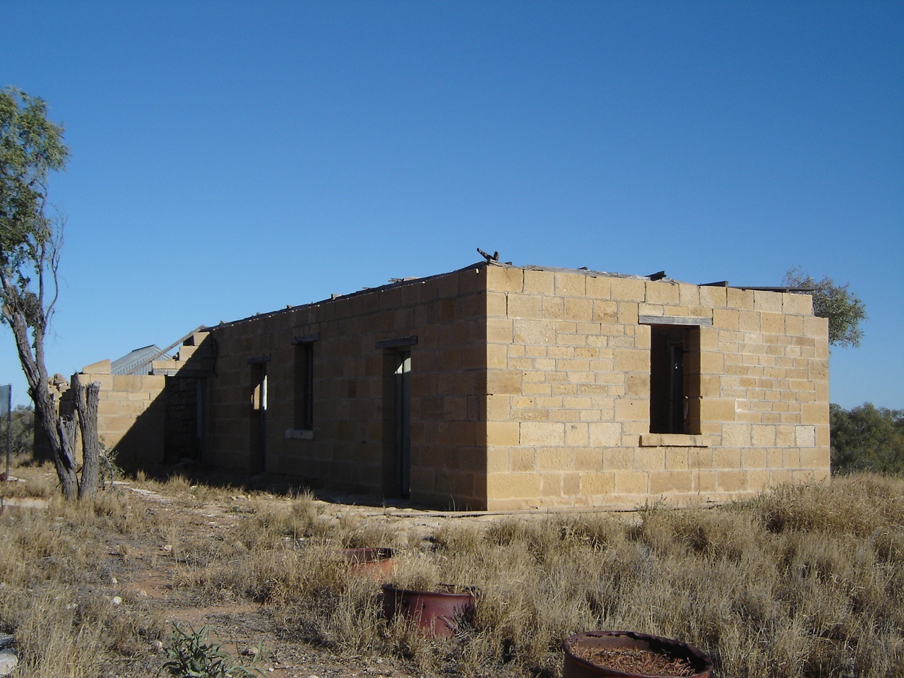
Old Cork Station
Right beside the windmill was a camp and the occupants were having breakfast and greeted us. I walked over for a natter and thought that the bloke looked somewhat familiar but then again, there are many people who look like someone else. As I was about to leave the conversation the bloke called me by name as a question. He turned out to be an old mate from Darwin by the name of Fred, whom we had not seen for a long time. So we camped next to them for the day and spent hours talking travels and talking tales about his Landrover. His travelling partner was quite amazed at this turn of events. They came over in the evening for drinkies and a campfire chat. We all had gone and collected some firewood and Fred had come up with a dead Strangler Vine, which I put on the fire at a later stage. The fire flared up like a Roman Candle and I had to used my emergency spray bottle to kill off a creeping grass fire. That kind of killed the conversation for the evening and we all turned in shortly after. We said our goodbyes in the morning and exchanged addresses promising to keep in touch and we headed for Winton while Fred and his friend drove south.
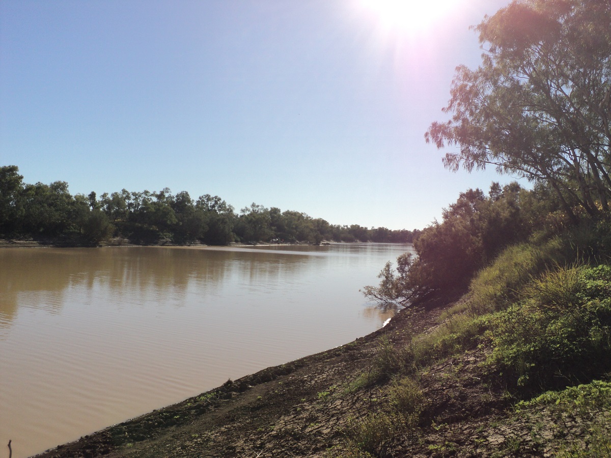
Old Cork Waterhole
Once at Winton we shook the dust and mud off and did the usual shopping for supplies and then made for Long Waterhole on the Western River two kilometres south of Winton for a camp. We stayed there 3 nights and at any given time there were up to 20 caravans and RV’s parked on or near the water hole. Getting fire wood meant going for a drive on the Town Common to search for wood.
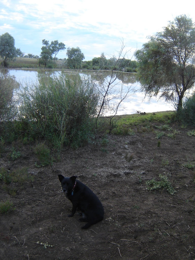
Long Waterhole
We like the town of Winton, with its wide streets, casual atmosphere and friendly locals. And there is plenty to do whilst visiting. We caught up with our friends from Brighton Downs Station, visited the Age of Dinosaurs Research Centre and went on a tour of it, visited the Musical Fence, QANTAS Aerodrome, Truck Museum and the Lark Quarry Dinosaur display in the heritage listed Corfield and Fitzmaurice Building. On a previous occasion we had visited the Waltzing Matilda Centre so we only went there for coffees and information.
Dinosaur Claw
The Dinosaur Way 2010
of Australia as depicted on the map in shade.
Eromanga Sea
Many species of reptilian dinosaurs were evident in that period and lie buried in the sea mud now turned to stone. Palaeontology in Western Queensland has been active since the early 1800’s. During the 1960’s Lark Quarry Dinosaur Stampede was discovered and excavated in the late 1970’s. Today the Dinosaur stampede, as it is known, is housed within a building and has a high visitation by tourists to the region. The Eromanga Seabed is the resting place for a variety of Dinosaur skeletons and every year new discoveries are made.
Eromanga Creatures
The Story of Elliot
Elliot was discovered by David Elliot on his station near Winton in 1999. David Elliott is a sheep and cattle farmer with a passion for conserving Australian natural history. For the last decade he has devoted himself fulltime to the founding and developing the Australian Age of Dinosaurs Museum of Natural History, a non-profit organization, that finds, prepares and presents Australia’s prehistory to the world. David has revolutionised the way dinosaur fossils are found and collected from the field, and developed new innovative fossil preparation techniques for unprecedented productivity. What once took decades of work is now done by the museum in a matter of months. In 2006, David outfitted a full-scale fossil preparation facility in a shed on his property and has now accumulated the world’s largest and most significant collection of Australian dinosaur fossils. From these efforts three new dinosaur species were discovered. David is currently building a world-class natural history museum outside of Winton. David’s unwavering commitment to the Museum has increased tourism to the Winton area and attracted significant support from volunteers, the community and the government.
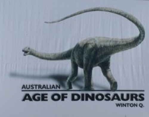

Elliot
Elliot is a sauropod dinosaur. Sauropods were gigantic four-legged plant-eaters, characterised by long necks and tails, pillar-like legs, and disproportionately small heads. Even the smallest sauropods, which were about 8 m long and weighed almost 10 tonnes, were larger than most other dinosaurs. Some of the larger sauropods, such as Argentinosaurusor Paralititan, are thought to have exceeded 30 m in length and weighed as much as 80–90 tonnes, making them the largest animals to have ever walked the Earth. At present it is unclear exactly what type of sauropod Elliot is. All the previous sauropod fossils found in the Winton Formation are thought to belong to a type of dinosaur named Austrosaurus. The first specimen of Austrosaurus was discovered on ‘Clutha’ Station, 60 km north-west of Maxwelton in the late 1920’s. This specimen comprised portions of at least nine enormous vertebrae, embedded in several large blocks of pale grey mudstone. Five additional specimens of Austrosaurus were collected from three different localities around Winton in the late 1950’s and early ‘70’s.
Age of Dinosaurs Museum
The only other sauropod fossils of comparable age known from Australia are isolated teeth from Lightning Ridge, an isolated tail vertebra from the Geraldton region of Western Australia, and part of a neck vertebra from Hughenden, a couple of hundred kilometres north-west of Winton. The Hughenden neck vertebra is thought to belong to a Brachiosaurus-like animal, initially estimated to have been around 20 m long.
The length of his thighbone indicates that Elliot was somewhere between 16 and 21 metres long, 3.5-4 metres high at the rump and weighed approximately 22-28 tonnes (equivalent to five African elephants!). We’ve known for more than a decade that Australia was home to sauropods as large as Elliot, but until now there have been no bones to prove it. Elliot’s bones were found in 98–95- million-year-old rocks from the Lower Cretaceous Winton Formation. This rock unit blankets large areas of central- western Queensland, and consists of sedimentary rocks such as sandstone, siltstone and clay-stone. The sediments that make up these rocks represent the remnants of the riverplains that surrounded the inland sea 98–95 million years ago. Great meandering rivers, forest pools and swamps, creeks, lakes and coastal estuaries all left behind a different type of sediment. In some areas, the Winton Formationis over 400 metres thick. To bring with them such a huge amount of sediment the rivers that flowed across these plains must have been comparable in size to the present day Amazon and Mississippi. As more and more sediment was brought in the margins of the inland sea slowly contracted. By around 95 million years ago, the job was complete and the inland sea would never be seen again. (Some text and sketch of Elliot reproduced with permission from Australian Age of Dinosaurs Magazine)
Winton in the winter months is a hive of activity with hundreds of visitors passing through every day and many stay for three days or more. There are two caravan parks and a free camping area behind one of the pubs. Then there is Long Waterhole on the Western River for those who are totally self-sufficient.

Long Waterhole camp
We camped there with an average of about 20 other camps but far enough apart so as not to disturb one another. Firewood was scarce but I went for a drive on the town common and found some every afternoon. We did a tour of Australian Age of Dinosaurs research facility up on a flat top Mesa just 25 kilometres from Winton and it was a most enjoyable experience. We were amazed that people actually pay to be able to work on removing fossil bones from their stone encasement. We visited the heritage listed Corfield and Fitzmaurice building where more replicas of dinosaurs are to be seen and especially those which caused the stampede at Lark Quarry.
This

was chasing this at Lark Quarry
Other places of note in Winton are the QANTAS Airfield, The Heritage Truck museum and the Musical Fence. Then there is Arno’s Wall and of course the Waltzing Matilda Centre. The annual Winton Show was on while we were there and so we went along for some fun and entertainment.
Leaving Winton we headed southeast along the road to Longreach before turning northeast towards the small town of Muttaburra where a replica of the famous Muttaburrasaurus can be seen. Muttaburrasaurus is known from one partial skeleton found at Muttaburra, Queensland, Australia. Muttaburrasaurus was a large four-legged herbivore that was capable of rearing onto two legs. Like Iguanodon it had a pronounced claw on the thumb while the three middle fingers were joined together into a hoof-like pad. Its jaws were very powerful and equipped with shearing teeth which were probably an adaptation for eating tough vegetation such as cycads. These were common in this part of Australia at the time. Muttaburrasaurus also had an enlarged hollow upward-bulging muzzle, that might have been used to produce distinctive calls or for display purposes. However, as no fossilised nasal tissue has been found, this remains conjectural.

Muttaburrasaurus
A sign at the start of the Prairie Road to the north out of Muttaburra stated 4×4 only, but the road turned out to be in reasonable condition and posed no trouble for the caravan. We found an old road-works quarry near Birricannia Station. This day we saw a Fox, a Bustard, some Emus, lots of Big Red Kangaroos including a large Old Man Kangaroo, sheep and cattle, horses and mules and some goats. A magnificent sunset once again graced the skies tonight. Some older Brahman poddys came to inspect our camp. Jeddah barked at them. I walked up to them with Jeddah close on my heels. When they ran away from me Jeddah got brave and ran after them but I called her back. She went back in her basket keeping a watchful eye while snoring loudly by the fireside. We called in to Kooroorinya Campground to view Kooroorinya Falls on Towerhill Creek. When running the falls would be a spectacular sight. Further along the prairie road we turned west on to what is known as the Eromanga Sea Byway which connects up with the Muttaburra/Hughenden Road.

Once upon a time this was the Eromanga Sea
Near Strathroy Station we stopped to fossick for fossils in a creek bed. As we were within sight of the station homestead it wasn’t long before the owner drove down in his Landcruiser to politely enquire what we were up to. We had a long chat while the engine was running. The bloke said that there were few fossils to be found in this part of the Eromanga Sea. He gave us some insight to the area and more information on the nature of the land. We turned north towards Hughenden soon after and as explained by the station owner, once we were at the Zara Station access road we were straddling the watershed between the Eyre Basin and the Gulf of Carpentaria.
54 Blades
Hughenden was a disappointing visit as we observed so many information signs starting with NO! We did however visit the Flinders Discovery Centre where a life size replica skeleton of a Muttaburrasaurus named ‘Hughie’ is housed. There are other fossil displays and a good light and sound show on Porcupine Gorge.
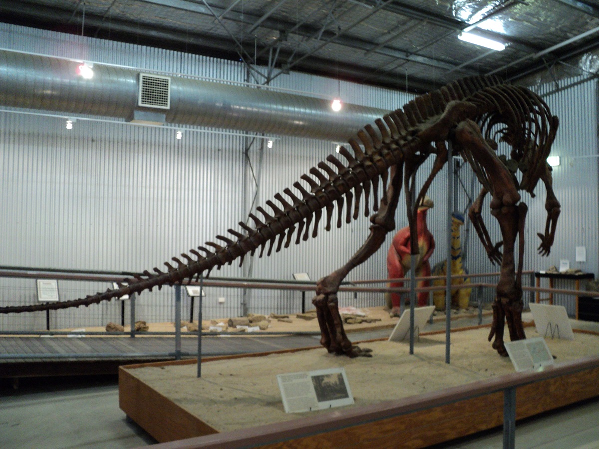
Muttaburrasaurus skeleton
On leaving the building we discovered that the left rear tyre on the Nissan was flat. A rather awkward tyre change occurred as the road sloped. I was silly enough to be talked into putting some green slime into the flat tyre as it had had a tube fitted. This unfortunately did not work but we made it to the next town without further troubles. I saw a sign stating Old Richmond Road and decided to take that instead of the straight run bitumen to Richmond. The road led us to the Alderley Crossing of the Flinders River where we made camp for the night. I stopped a passing cocky to find out more about the roads but he told me that there was no access to the north and gave me an alternative route back to the Flinders Highway. Two vehicles passed by and then it was quiet for the night.
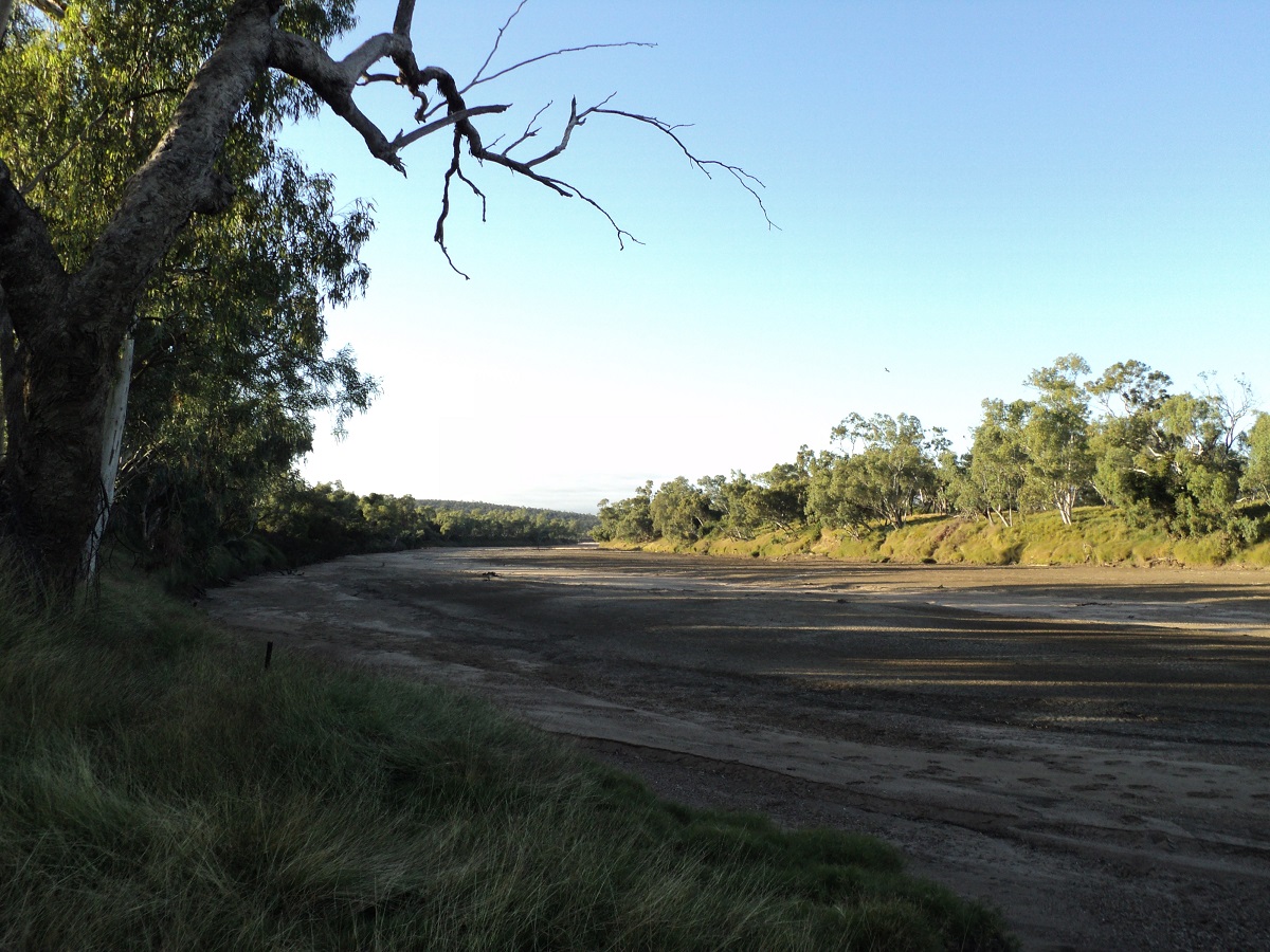
A dry Flinders River
We made it into Richmond the next morning and the day was promising to be warmer. On the way out we saw some low cloud but by the time we got to the bitumen we had outrun it. The old Townsville Mt Isa road is pretty bumpy in places and in need of an upgrade although patches have been done here and there. Richmond presents itself as a sprawling town with extremely wide streets and studded with colourful Bougainvillea Shrubs. So wide that centre parking is provided for caravans. And everyone is friendly and welcoming. Kronosaurus Korner Museum, Information Centre and Bakery is a hive of activity.
Richmond streetscene

Kronosaurus Korner
At Richmond I had the tubes removed from the tyres and some patches fitted all. The tyre man said that the tyres seemed like Irish tyres and I had to agree. We will be up for new ones soon. Maybe they will last till we get to the coast. One tyre was still losing air. Did some shopping and paid bills and managed to get some cash from the Post Office agency. Jude bought some meat from the butcher. Jude also found out about a free camping area and we set camp up there, in a fenced in area, with a dump point, rubbish bin and water tap. You have to be totally self sufficient to camp here though. The free camp area is within 5 minute walking distance of town. We had a cuppa and a pie from the Bakery at the Info Centre and then spent over an hour in the Kronosaurus Korner Museum and thoroughly enjoyed it. It is the best display that we have seen so far.
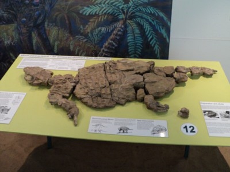
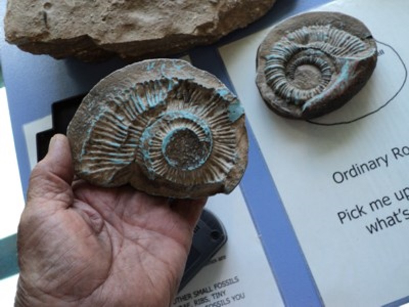

Back at camp we mucked around doing things and set the pterodactyl tent up for toilet and showers. Put the solar shower out and had a hot one later on. Our solar panel kept the batteries topped up. Other campers arrived. Then it was time for downloading photos, videos and supper. Today the large grasshoppers flew by in their millions but somehow avoided the van until this evening where stragglers keep on flying into it. Hopefully they will be gone by tomorrow.
The following morning we were out and on the go by 8am and heading for the fossil fossicking sites. Once there we spent two and a half hours looking at stuff and finding some treasures.
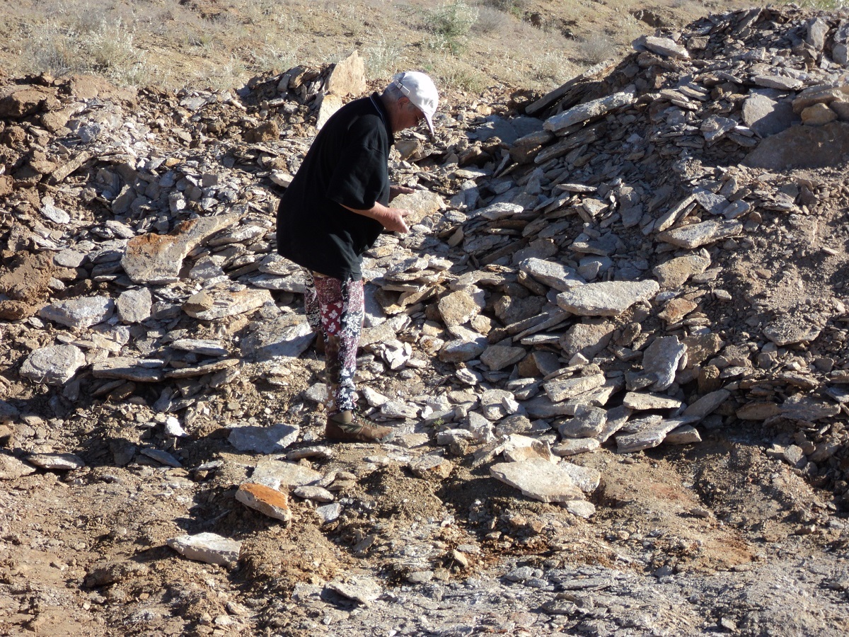
Fossicking
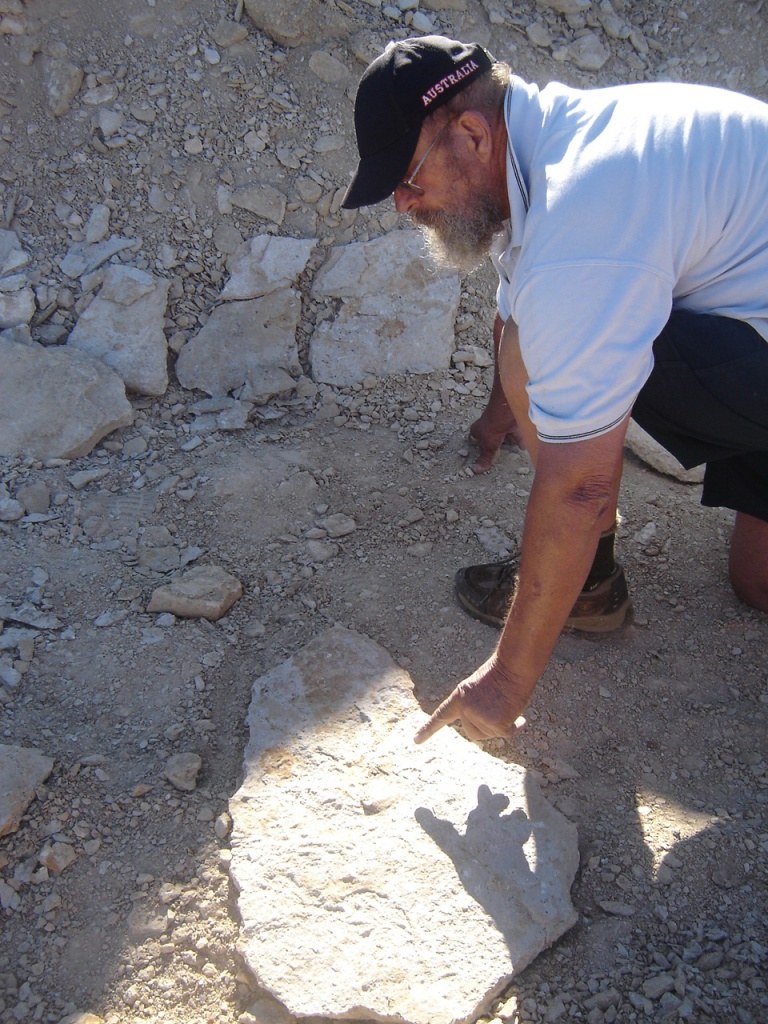
Fossicking
We also saw a juvenile Jabiru Stork near the fossil sites. Then it was back to town to have our finds investigated by Kronosaurus Korner staff who asked us to come back in the morning to have the paleaontologist look at some of them. Then Jude did the washing while I went and scoured the local hardware shop for a new inlet water pipe for the van as the old one had split. I also bought some extra tyre plugs. We relaxed in the shade of the van after rigging up a washing line between the van and the wagon. Then we topped up the water tank and the containers in the truck. A little later I put another plug in the spare tyre which was leaking air. Swarms of grasshoppers came over but luckily high enough in the air to miss us. They were gone by sunset. We both had a very hot shower from the solar shower, which refreshed us to no end. I charged both the batteries with the solar panel..
The next morning we went to Kronosaurus Korner to have bits of fossils evaluated by the resident palaeontologist. Then it was out to the Fossil sites again to look for more stuff. On return to town we did some shopping, refuelled and came home for lunch. I went to the local library for internet access and cleared incoming mail from both email accounts. The afternoon was spent reading and snoozing. I finished reading my Min Min book. What a great read it was. One other motor home camper here tonite and running a generator but it is very quiet. The grasshoppers were around again today but they seem restricted to the town area. Saw three Brolgas this morning. Tomorrow we tackle the Cattle Corridor Byway to Croydon and beyond.
The Cattle Corridor Byway 2010
Cattle Corridor
After spending three nights in the RV paddock at Richmond we were on the road heading north along the Cattle Corridor Byway, to Croydon and beyond. The RV Paddock is a fenced area set aside for those travellers who are totally self-sufficient. It has a dump point and drinking water and is provided free of charge by the Richmond Council. It is a 5 minute walk to the main street. We rose early and packed by 8am but then had to wait for the Police Station to open at 8.30 so we could get some road information from them. Basically that was a waste of time, as the clerk had no idea. She said that there was about 50km of bitumen in the Richmond Shire but that turned out to be 80km and to top it off it was Show Day in Winton and a local public holiday and no one was around who could help. This wasn’t serious but it is nice to know if the road is open and if it is in reasonable repair.
When we got on the road, we stopped at the Fossil fossicking site number two to collect a stone we had discarded the day before with Copprolites (fossilised fish poo) in it. This stone was to be sent to the grandkids of a mate ! Then we drove further stopping at various creeks looking for Moonrocks.

Moonrocks
Gecko
At one such stop Jude upturned a rock to find the most beautifully coloured Velvet Gecko. I managed to get it onto my hand for some photos. We placed it back where we found it with its cover on top. The bitumen ran out at 80km mark and while I was letting down the tyres to 25psi a local cocky stopped to see if we were OK. He said that the road to Croydon was rough in places but manageable. And he turned out to be pretty correct. We drove through a thick growth of Tropical Woodland Savannah scrub and along the way we enjoyed many kilometres of roadside Wattle in flower giving a vibrant display of the colour yellow and the lovely scent as well.Thete were thousands of head of Brahman Cattle along the way and being mainly an unfenced road we were frequently slowing down or stopping from our already relaxed pace.
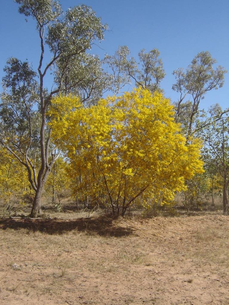
Wattle in flower
At times we had to pick our way through and around the bulldust patches but kept the speed steady around the 60/70 mark and had a smooth run. Jude spotted an old-man Goanna walking across the road and I had to pull up quickly. He stayed about for photos and films and marched off into the scrub with the tip of his tail up in the air denoting a warning sign that he would resist an approach. The only vehicles we saw all day was a road crew at one of the creeks and then 2 4×4’s as we got close to the Esmeralda / Prospect Road junction and bitumen. There we spied a family of Feral Pigs including piglets foraging on the side of the road.
Feral pigs
Today we saw the Flinders Poppy plant in flower and we also saw and photographed a Lime Bottle Brush. Whilst stopped looking for a place to camp we saw a covey of Squatter Pigeons with the clear, wing markings. We finally found a good camp under the shade of an Ironbark tree only 50 metres off the road but we were not expecting a mob of traffic. Jeddah complained for most of the day about the state of the roads and the corrugations. Just before we found our campsite she stuck her head out of her window and barked continuously until I yelled at her. Once stopped she lay under the van feighning exhaustion. The pigs made a racket down the creek after dark but then all went quiet. Two vehicles passed. A mob of Happy Jacks came over to see what we were up to and Jeddah got very disturbed about them eating her tucker so she gobbled both helpings up quick smart. We lit a fire and sat around it for a while. There didn’t seem to be any mozzies around although I did rub Desert Dwellers on early in the evening.
I am very pleased with the van as dust ingress is minimal even after travelling through kilometre after kilometre through fine bulldust. Jude went to bed early but I sat around and burned wood until ten pm. There were some strange noises emanating form the creek nearby and I guess the porkers were still in the vicinity.
The following morning we were up earlier than usual with the Blue wing Kookaburras cackling at around 6am. On the road by 7.30 and within five minutes we saw another Black Pig family. A Mother-pig, with 8 piglets, each the size of a kitten and including a smaller one which was obviously the runt of the litter. Then we saw Brolgas, a Jabiru, Red tailed Black Cockatoos and a Plains Turkey as well as lots of Kangaroos and some Wallabies. Jeddah did her usual barking at the cattle of which there were many on the side of the road. The first few kilometres of the road was wide bitumen but then we got to where the latter had been washed away in places. Then it was back on to the gravel road for a while which was quite good. We struck a patch of road works and chatted to the grader driver over the radio. Then the bitumen came back and it was like that all the way to Highway 1. The countryside changed to being hilly in places and quite picturesque. At Croydon we were ushered in to a movie of the town at the Information Centre. It was a good little clip telling us about the history of Croydon. But there was no free camping to be had at Croydon. Couldn’t even find a fridge magnet of the place. We drove to Lake Belmore fur kilometres from the town and had smoko there. No camping there either. It is a pity that town elders can be so short sighted as to not provide free camping for travellers. Not all travellers want to stay in caravan parks. And if staying in or on the outskirts of a town, the chances are that travelers will all spend money in the town. We pushed on to Normanton arriving there at around lunch time.
Krys the Croc
Normanton to me, is still as uninspiring as it was in 1971 when we were here last. There wasn’t anything open except two shops and the Purple Pub. We took some photos of Krys the Croc, which is on display in the Main Street. It is sad really that such a fine Crocodilian Reptile was shot for its skin. It weighed approximately two tons. The lady at one of the shops told us that there was free camping on the other side of the bridge or 20km north of town at Walkers Creek. We refuelled taking 79 litres for 578 kilometres at $1.66 per litre (13.6/100).
Purple Pub
On the other side of the bridge over the Norman River we saw a number of vans and RV’s parked close to the roadside. We went for a drive a bit further out on to the floodplain and found a place right on the river which looked good enough for a camp and away from the road by about 500 metres. After forwarding and reversing a number of times we turned the rig around and settled for that position. We will have to keep a watchful eye on Jeddah as this is Crocodile Country! We might stay here for a day or two. The weather is beautiful in the high 20’s with a gentle breeze. We have all of the flaps and windows open on the van which creates a cool effect. We discovered that some ants had come along for a ride and got busy evicting them. There weren’t many flies as yet. Jude got busy with a painting of the river. We collected some firewood and had drinks outside in the afternoon light. The mozzies did not worry us but the sandflies got us around the ankles. Will rub extra Desert Dwellers on tomorrow night. Jeddah was restless until her bed was put in its usual place. There were flocks of birds flying over at sunset. They were mainly Brolgas and Sacred Ibis with the odd Jabiru around too. Once again we were up early the next morning. So what’s new? Set up the shower tent for privacy and showers. Amazing how quick we seem to do it these days. Went for a walk and found a whole cluster of small billabongs about 200 metres away from our camp.
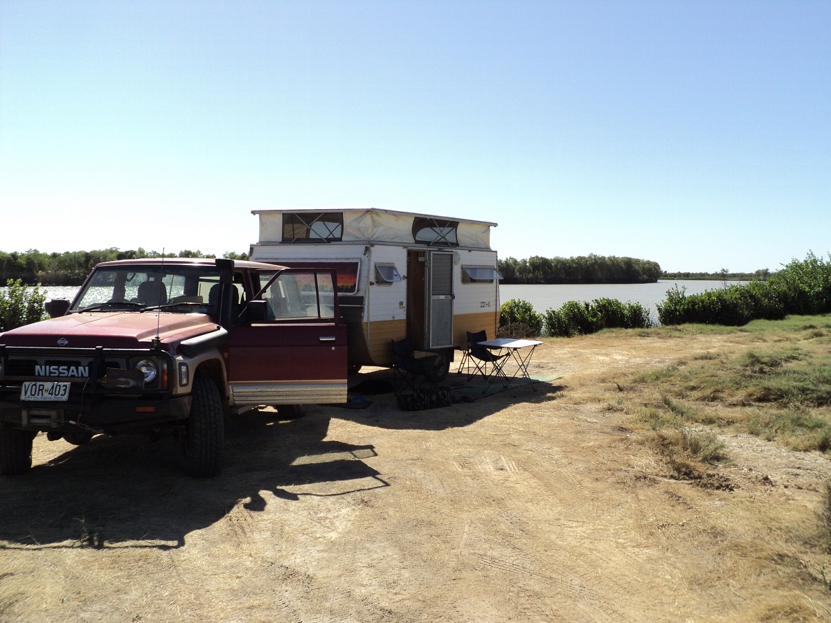
Norman River Camp
This is where the birds are spending some time. Some of the billabongs have beautiful blue waterlilies in flower. Saw a wallaby and some Sacred Ibis and some White Herons. In the evening we saw a Fish Eagle and a Pelican. Later we walked back to one billabong and filled our buckets with water. I got muddied in the process. Later I jacked the van up and tested the wheel bearings and tightened any loose nuts on the U bolts. The solar panel came out early. The day has been breezy but pleasant. We did jobs around the van, had corn, bacon and cheese jaffles for lunch and then a snooze which was interrupted by Jeddah who was having a doggie nightmare. There are more vans on the flats today but they have kept their distance from us. We have had lots of discussions about where to go to next and what we are going to see. We decided that visiting Undara Lava Tubes would be problematical because of Jeddah. Anyway, we have been to other Lava Tubes before. Will substitute that with a Magic Cave Tour at Atherton instead. We lit a fire with the very dry wood we had dragged in from surrounding places, tonight, and kept watch with garden spray bottle just in case as there was a bit of dry grass around. Fire did get going once but we had it under control within seconds. I eventually doused the fire after 9pm when we turned in. Had to run the engine of the truck at 1200rpm to get battery up as solar panel did not seem to put enough in over the last hour of the day. The wind blew a bit during the night but eventually quietened down.
We tried to delay our early morning departure to the max and managed 8.34am. On the way out of camp some other travellers alerted us that the Top of the van was still up. Silly us!!! Did the dump point run, topped up with water from a park tap, visited the Post Office to send parcel off and went to buy something at the shop but then decided to do the shopping in Karumba. The road to Karumba was quite busy. Once we had turned the corner to head towards Karumba the plains opened up with wetlands everywhere. Saw hundreds of Brolgas and three Sarus Cranes. I was quite excited about that, as these Asian visitors are not often seen. We made a beeline for the Raptis Fish Market on the wharf where Jude bought 2 x $15kilo and 1 x $10 kilo prawns. Then she did some shopping for supplies. We had smoko on the beach at Karumba Point where the ‘new’ township is being developed and we all dipped our toes in the Gulf of Carpentaria waters.
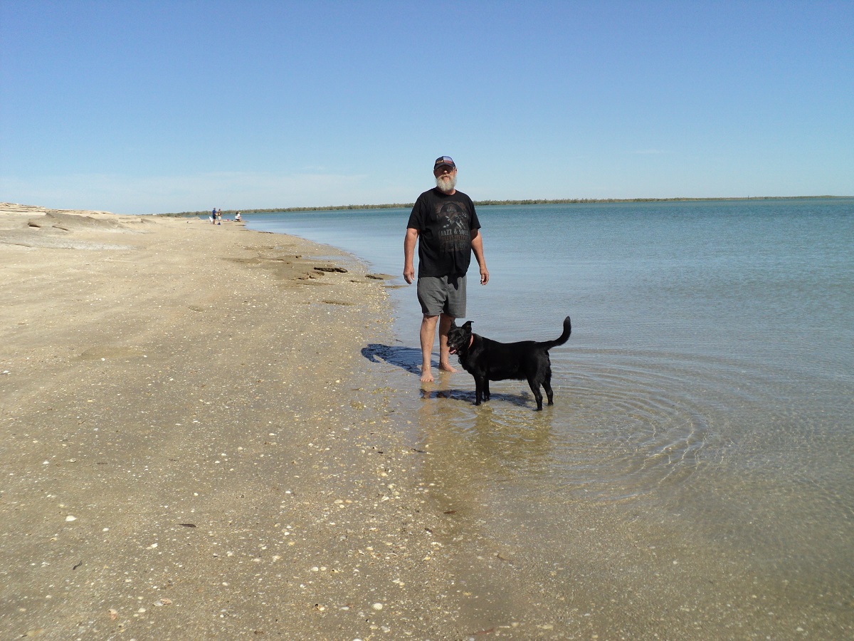
Karumba Beach
Then we made for Walkers Creek bush camp at the intersection of the Normanton/Karumba/Chillagoe Roads. Jude found us a beaut spot and we settled down very quickly after setting up camp. Water for the shower was found close by in the creek and the artist started on a painting soon afterwards. We were only about 200 metres from the road but the area is heavily wooded and the sound is muffled. Hopefully things should quieten down by the later afternoon. I went and collected some fire wood laying about and also made up a sling for breaking dead branches off trees. Jeddah kept wanting to protect the camp from every movement closeby, by barking loudly. This does deter other campers from setting up, but not all. By nightfall we were 10 vehicles in the area including a large bus close to us. We stayed another day just loafing around and then left on our next adventure
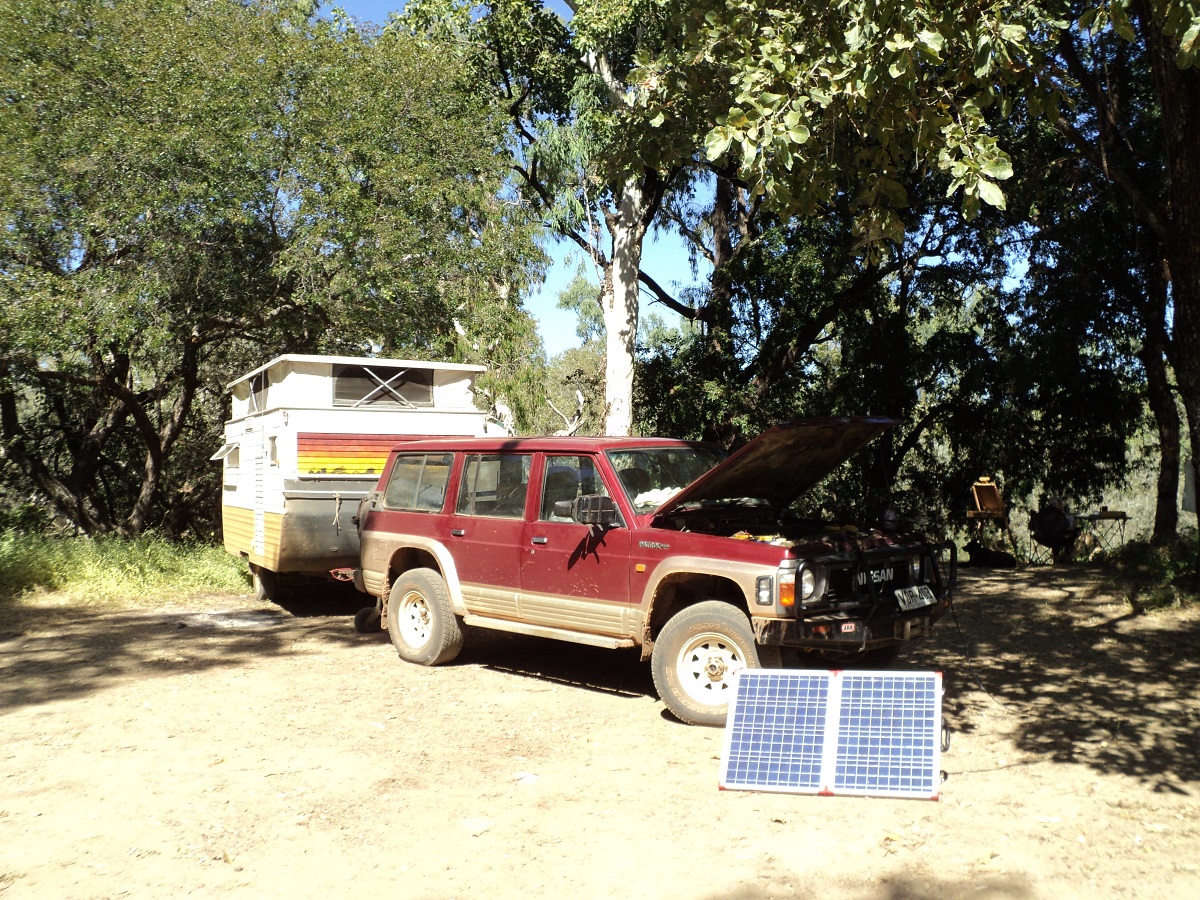
Walkers Creek Camp
Bound for Chillagoe 2010

Walkers Creek camp
We left Walkers Creek camp in Far North Queensland and the bitumen at the start of the gravel section of the Burke Development Road heading east north east. This road runs for around 540km and is often closed for long periods of time during the wet season. This time around there was lots of dust and corrugations to start with especially with some four wheel drives speeding past us, no doubt on their way to the Cape. Then things settled down. The road was good in places but had really bad bull-dust patches in others. Despite all the dust there was very little ingress of dust into the van.
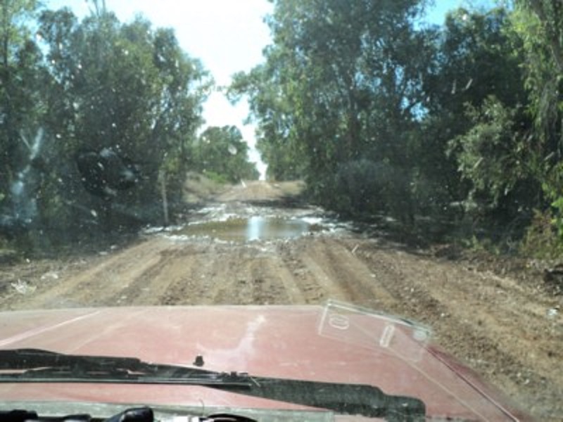
Burke Development Road
We saw a flock of 39 Brolgas on one side of the plain and a flock of 16 Sarus Cranes on the other. We saw Wedgetail Eagles, Crows, Rahjah Shelducks, Herons and a Bustard. Also saw a black pig and goanna crossing the road. We were surprised to see Screw Palms (Pandanus Spiralis) and a Fan Palm this far south and they reminded us of our days in the far north of the Northern Territory. Jeddah was in fine form barking at all the cattle and bushes on the side of the road.
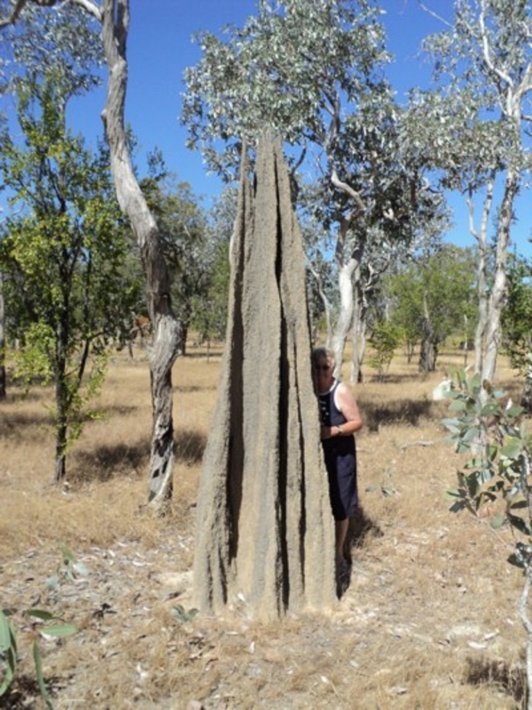
Spear Termite Mound
We decided to go and have a look at the Mitchell River Crossing on the Koolatah Road as I had read some stories about it and the trouble other travellers had encountered on this crossing. The Koolatah Station access road ran up to the river but then promptly stopped dead at the crossing with very little indication as the where it might go from there . The road was graded but also had really bad bulldust patches and we had dust coming over the bonnet of the truck at one stage. Some tracks across the sand indicated that others had gone to search for a crossing and there was an enormous hole in the sand where something big had been bogged. We walked down to the fast running stream and cooled off in the waters of the river.
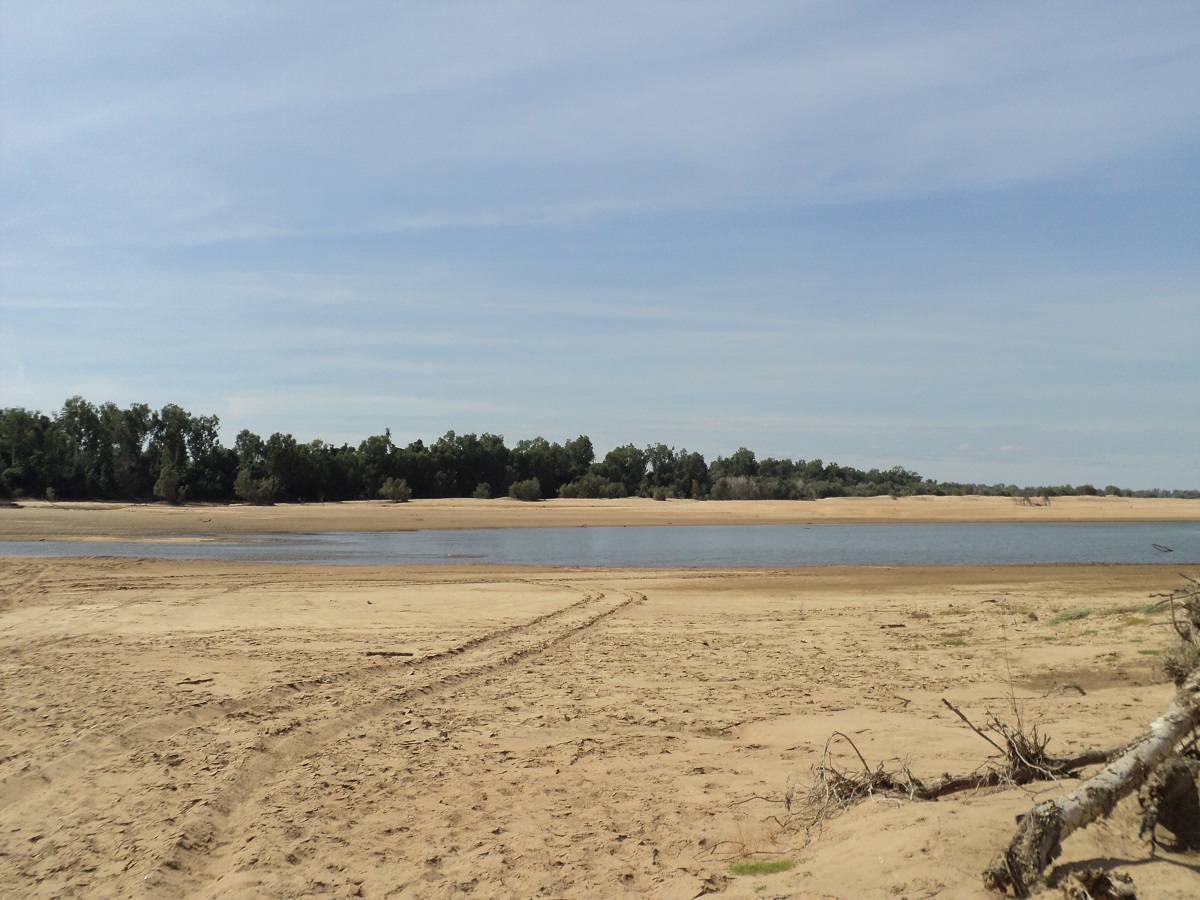
Koolatah Xing Mitchell River
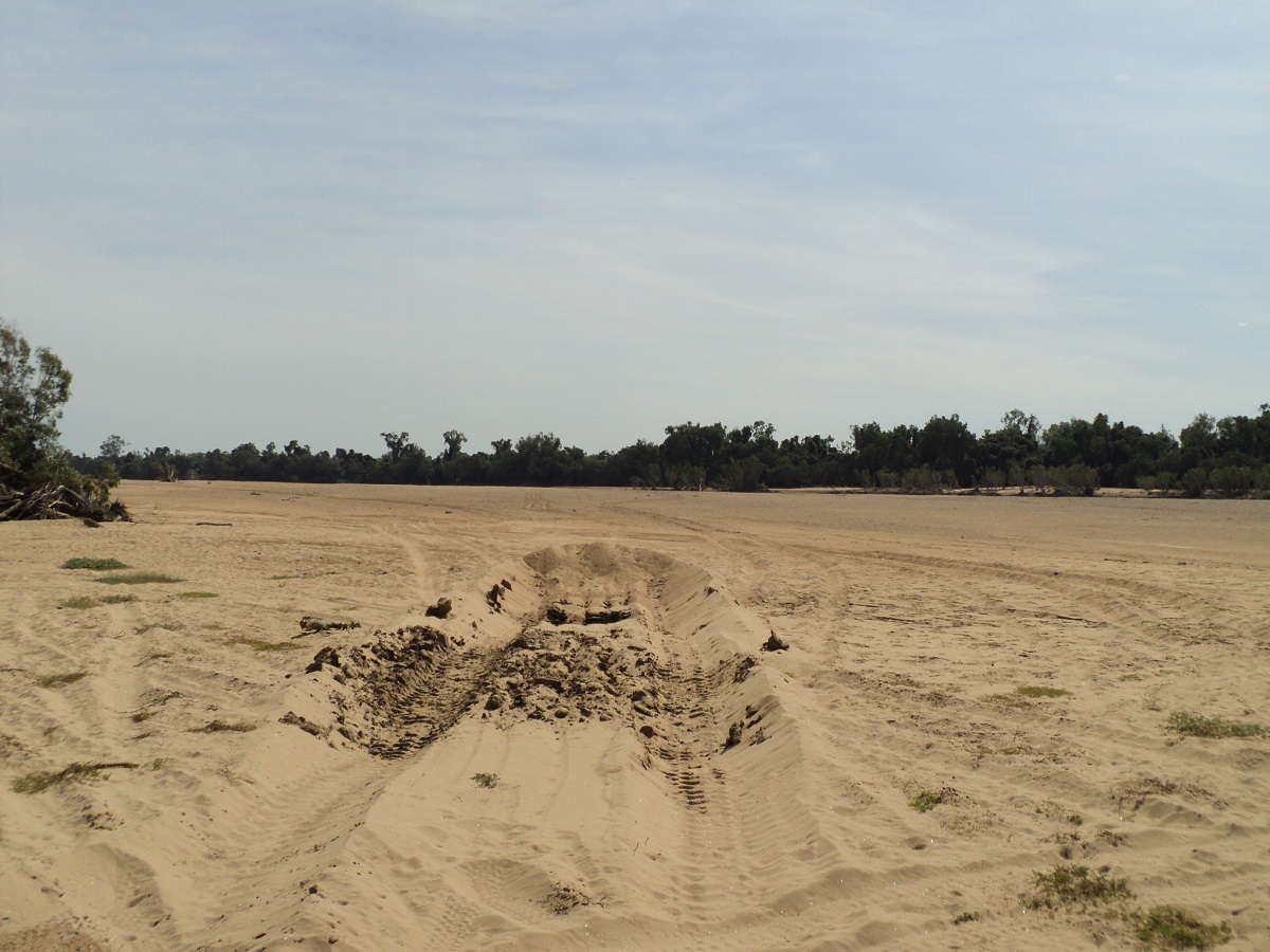
Dead stop
After Dunbar Station we started to turn east on our return journey to the south as we had reached as far north as we were going to this year. It was pretty hot all day especially with the air conditioner out of order. Must have it fixed before the next holiday! I started getting crotchety at about 2.30pm about camping and was looking out for a suitable place to pull off the road. We eventually left the Carpentaria Shire and into the Mareeba Shire and Highbury Station which had a NO! this NO! that sign at the grid. Friendly people!!! About 10km before Highbury Station we saw a road sign to Drumduff Station and decided to investigate it. This well-made road took us down to the Mitchell River and across the Hughes Crossing which is a concrete causeway.
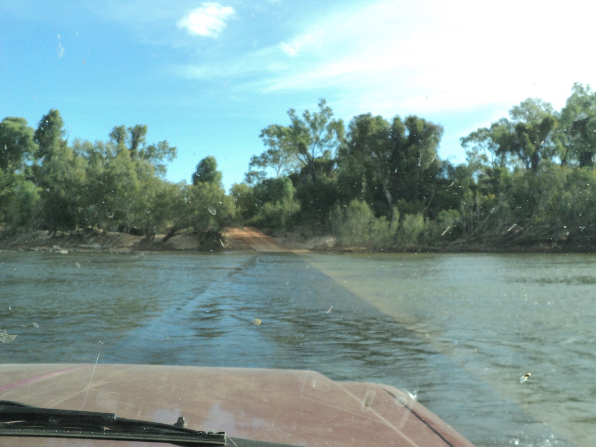
Hughes Xing Mitchell River
Water over the crossing was just about quarter wheel height. We drove through and found places to camp on the northern banks but they were not near water. So we turned around and came back over the causeway and found a small opening in the riverbank right on the crossing. It was quite sandy but I drove forwards and backwards over the sand to harden the track up.
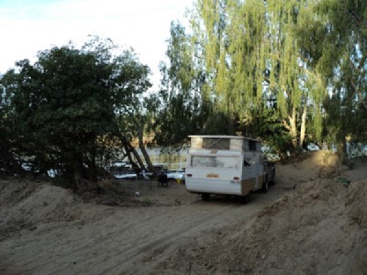
Hughes Crossing Camp
We both had a bush bath on the banks of the river, washed clothes, I refuelled with 60 litres of diesel and we topped up the vans water tank from our containers and refilled them from the river. Jeddah rustled up an old weather beaten Goanna from the river embankment and was keen to play but we called her back. The Goanna was about 5 foot long and it sauntered off for a drink of water and then waddled further on along the rivers edge and out of sight.
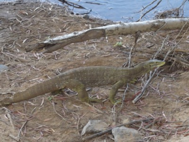
Old Goanna
I found a cattle skull in the scrub and decided to float in down the river. This did not work as it sunk within 5 metres. However, a very large spider emerged from the skull and ran across the surface of the water towards the embankment. We tossed and turned all night. At first it was too hot and then later on in the night, too cool. Full moon shone through all open apertures on the van. It was like sleeping under a streetlight. Jeddah fell down like a bag of potatoes several times during the night whilst sleep walking. We were having morning coffees at 5.30am. Two utes had passed by early in the night going north and later a Road-train came past in the same direction. It was running rough and noisily and could be heard for quite a while after crossing the river. All three vehicles returned at around 6am. Jeddah sounded off the alarm as usual. Reversing out up and across the river bank was a non event at 7am as I had envisaged difficulty in doing so. I drove a little way and then pumped the tyres back up. The road continued to be good for about 50km and then started to deteriorate again. I rued pumping the tyres up but on the other hand could not be bothered to let them down again for the last hundred kilometres or do. So we endured a harder ride. We checked out numerous tracks and likely camp spots for future reference. Saw two Jabiru’s, two Bustards and mobs of Cattle. Went over a number of narrow river causeways.
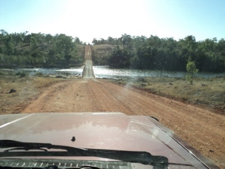
Elizabeth Creek crossing
Closer to Chillagoe we saw unusual Limestone Karst formations remnants of a coral reef millions of years ago. It was quite an eerie sight especially after driving across a seemingly endless plain of tropical savannah woodland.
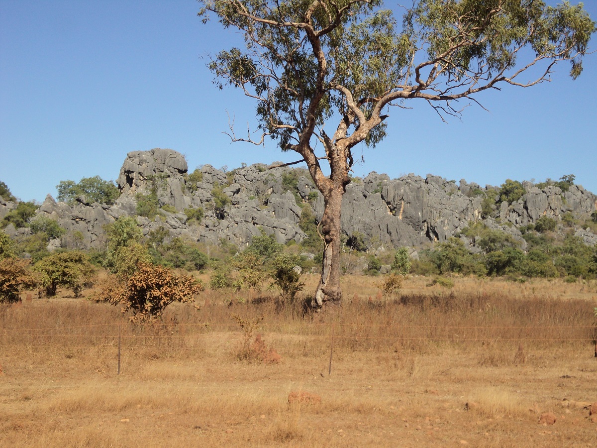
Limestone formations
At Chillagoe we went to The Hub and Jude booked into two Cave tours. I felt that I wasn’t up to crawling around caves and stayed in camp to keep Jeddah company. We paid $6 to stop at the Rodeo Grounds for the night. The showers were cold unless you were prepared to light the outside donkey fire and the toilets were ordinary but it was good enough for the money.We had our own hot shower anyway. I spoke with some locals and stated that it was such a beautiful quiet day. Their retort was that it was the one day in the year that the wind wasn’t blowing!!
After lunch I took Jude to the first caving tour of the Royal Arch Cave and I then went to look at the old smelters and a collection of Ford vehicles by Tom Prior.
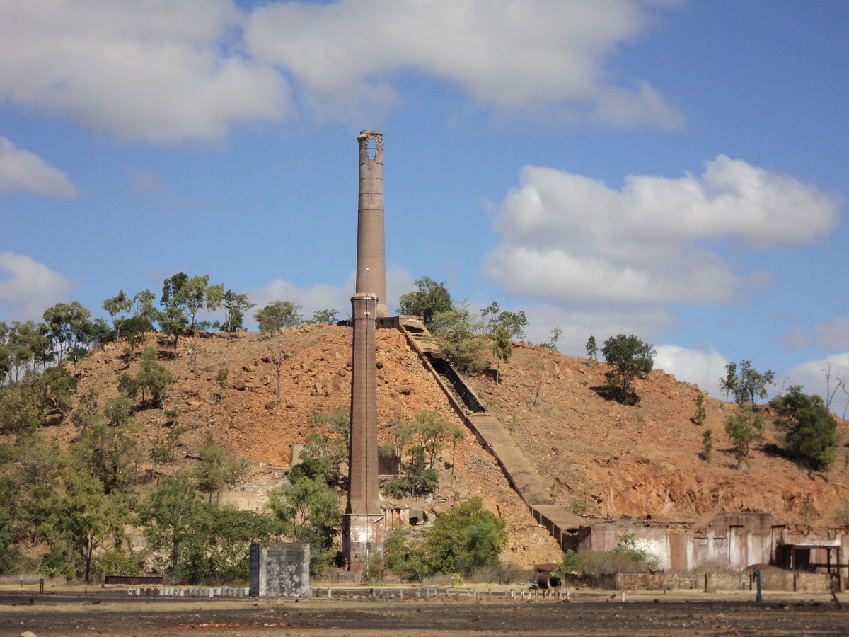
Old smelter
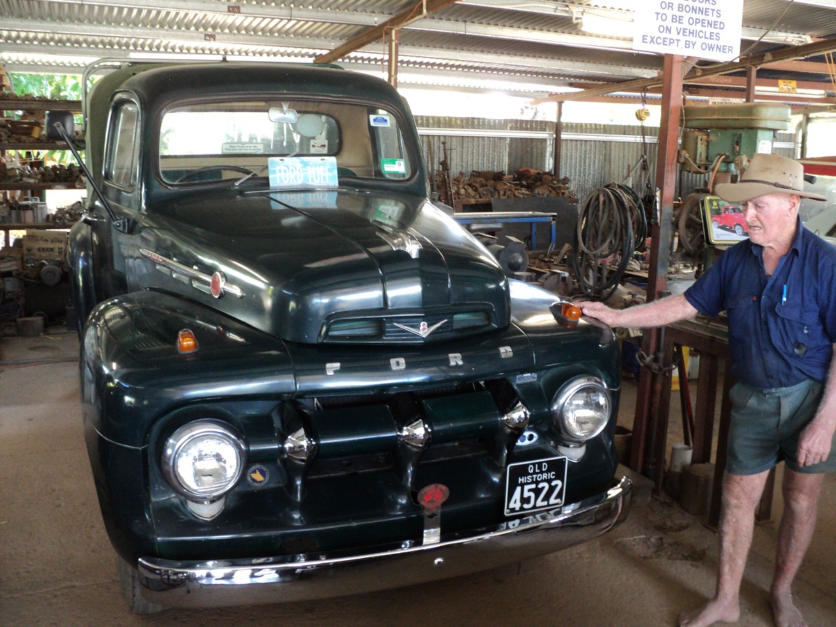
Tom Prior and 1936 bV8 Ford Ute
Tom has a speech impediment and is most difficult to understand. He was quite an affable old bloke however and talked and talked about his beloved Fords and V8 engines. We got on really well. In and amongst his collection of vehicles he has a 1966 Shelby Mustang in showroom condition. His dog spotted Jeddah in the wagon and went off its brain. In the end both dogs were going off and we had to yell at them.
I went back to The Hub to get more maps and info and also the words to the ditty that proclaims the name of Chillagoe. The name of Chillagoe is derived from an old sea shanty and from the play Sinbad the Sailor and was named by the first pastoralist in the area. It goes like this;
Jimpsy Dru
Majibbity Hoy
Jobbity Hory Pory
Hikey, Pikey
Psyche, Crikey
Chillagoe Wabaredory
And the meaning? Who knows? I have searched the internet for an answer but to no avail.
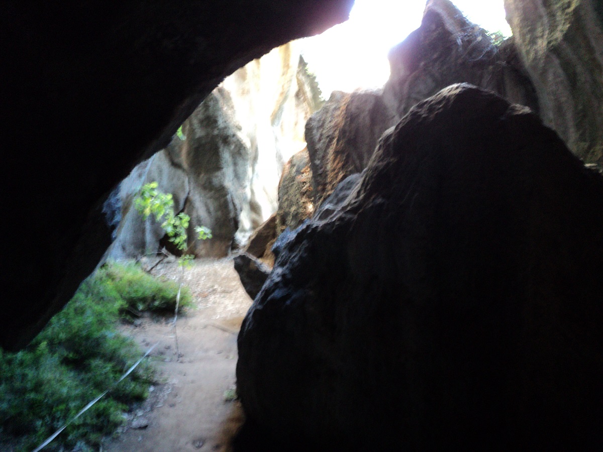
Caves
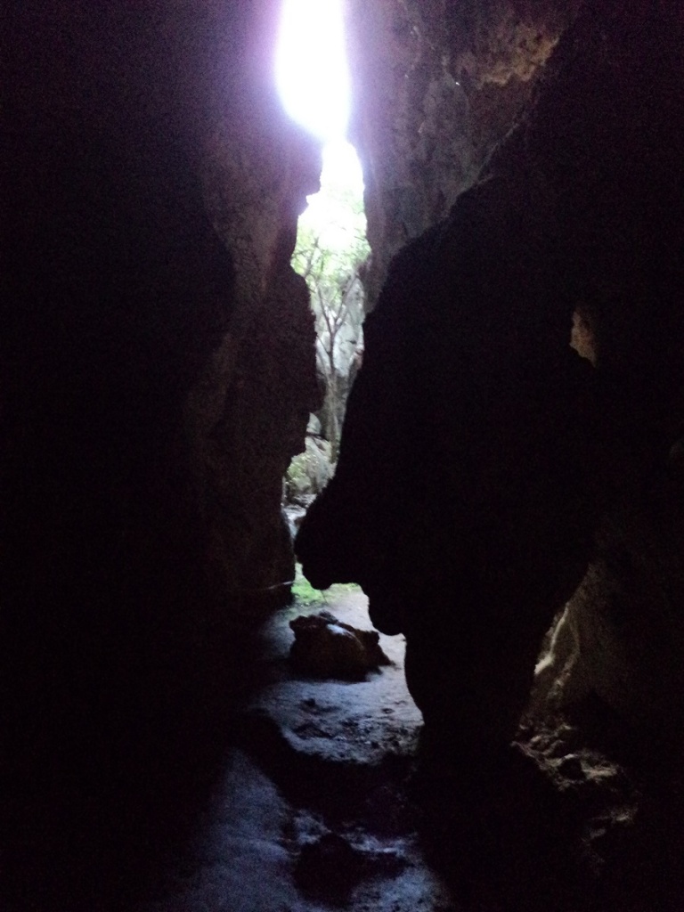
Caves
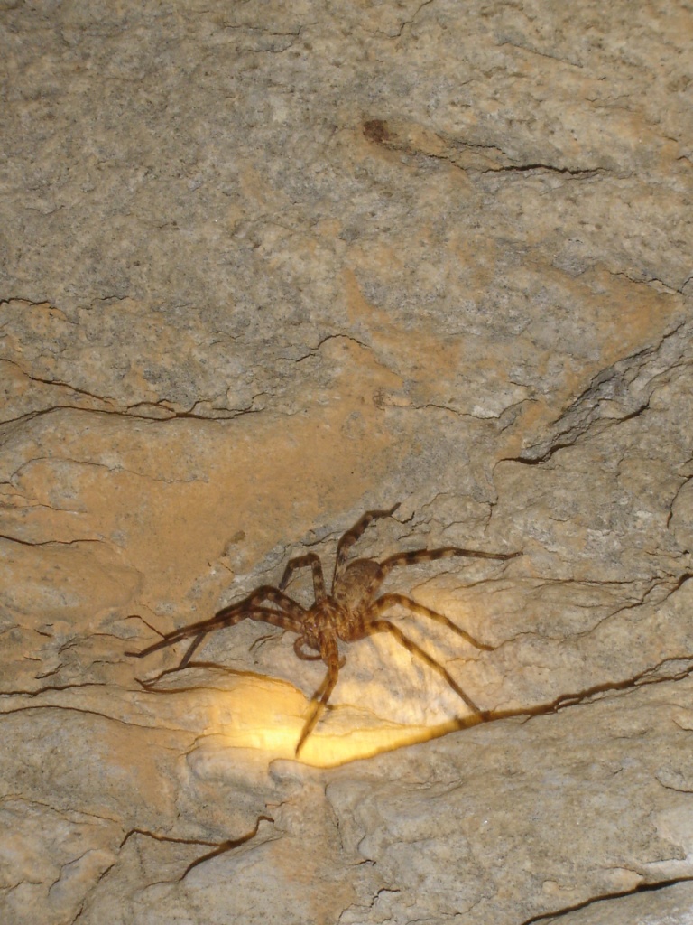
Cave spiders

Caves
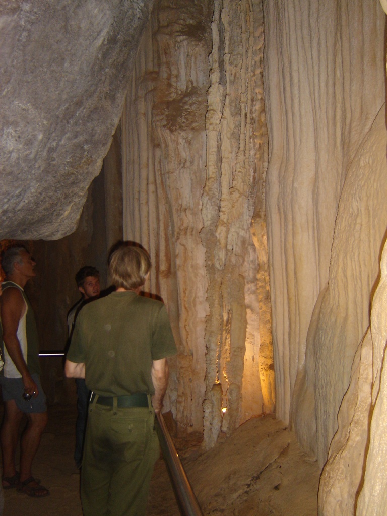
Caves
Then it was time to pick Jude up again but there was a delay as the tour was late. After that we went to Balancing Rock, a natural Limestone Karst formation.
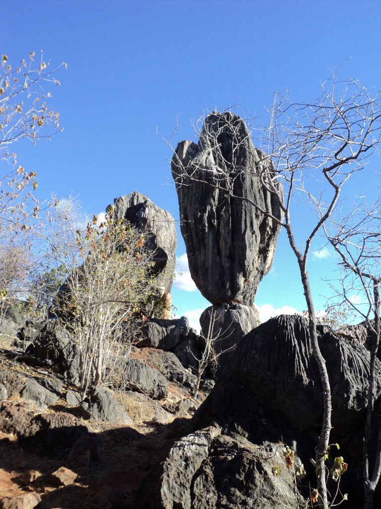
Balancing Rock
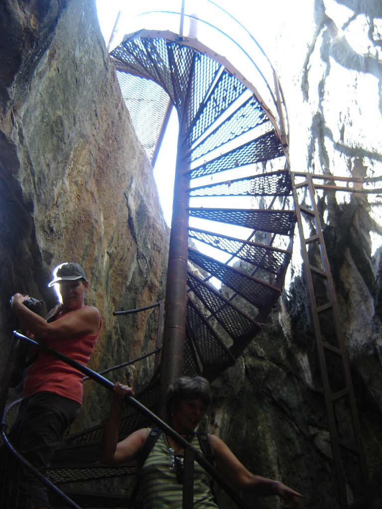
Spiral staircase
There is some aboriginal art close at hand, some of which is very faded.
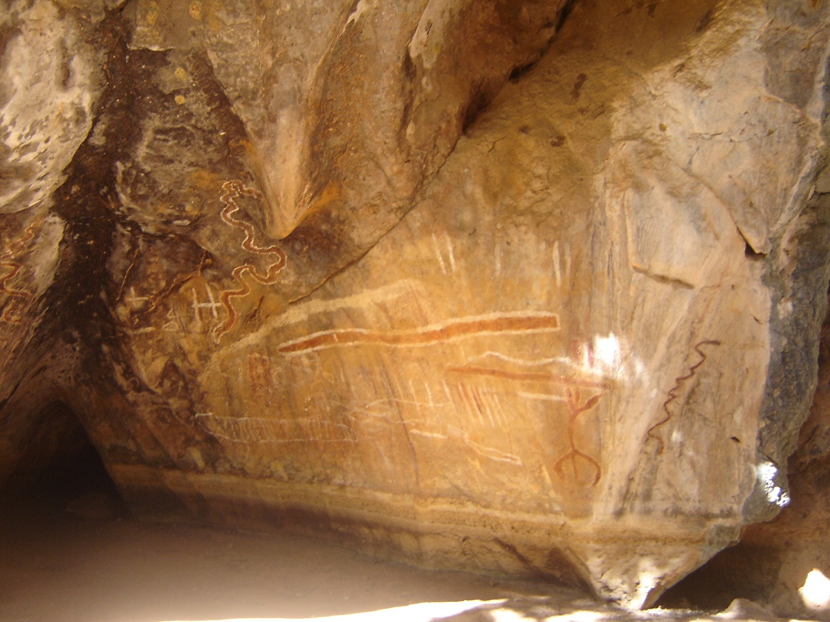
Rock Art
We had a good campfire that night and gobbled up the last of the Karumba prawns, which Jude had curried to perfection.
Donna Cave was the next tour on the list at 9am the following day and I went to the internet café and post office to do business. After the Donna Cave tour we drove out to The Arches and had a great time exploring them, even getting on to our knees to crawl through some apertures. The Art site was better than others in the area and we also went exploring Marble Stone sites and old townships.
After lunch we hooked up and took to the roa
Dividing Range Adventures 2010
Our last day in Chillagoe and we saw Bustards, Butcherbirds, Red Tail Black Cockatoos and Jude saw Bentwing, Sheath-tailed, Horseshoe and Pignose Bats in the cave. The trees around the caves and which resemble the candle tree of Namibia, are commonly known as Helicopter Trees, with a Latin name of jovocoptus americus, so named due to their spiralling falling leaves.
The Datto doesn’t like hills even without the van in tow and it was down to second in places on our run to the coast. We topped the rise at 639 above sea level on our way out of Chillagoe and coasted down to Dimbulah where we refuelled, did some shopping, and got directions for a back road to Atherton.
Well, we missed the road turnoff but upon backtracking found it and not long after found a lovely camp site on a pebbly beach on the Walsh River.
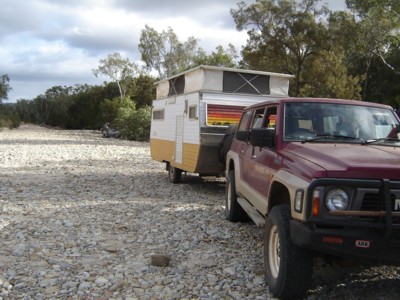
Walsh River Camp
I had to do repairs to the Datto’s left hand tail light while Jude and Jeddah collected firewood. Bright moon caused sleep deprivation again. We rose around 6am the next morning and organised a hot shower by boiling the billy. Some clouds were to be see but no rain although roof of the truck was damp. We had a pleasant trip to Atherton and then the rain came down in buckets. Once in Atherton, we spent one and a half hours in the Crystal Caves display centre which is a fascinating place. One descends a staircase into caves below made of polystyrene foam into a fantasy world to view a magnificent display of crystals from all over the world. The highlight of the collection is the Star of Uruguay amethyst pictured below.
Star of Uruguay Amethyst
Then we made for Malanda but stopped at Gallo Cheese and Chocolates along the way to buy a supply of delicious cheeses. The rain got worse and the road seemed narrow.
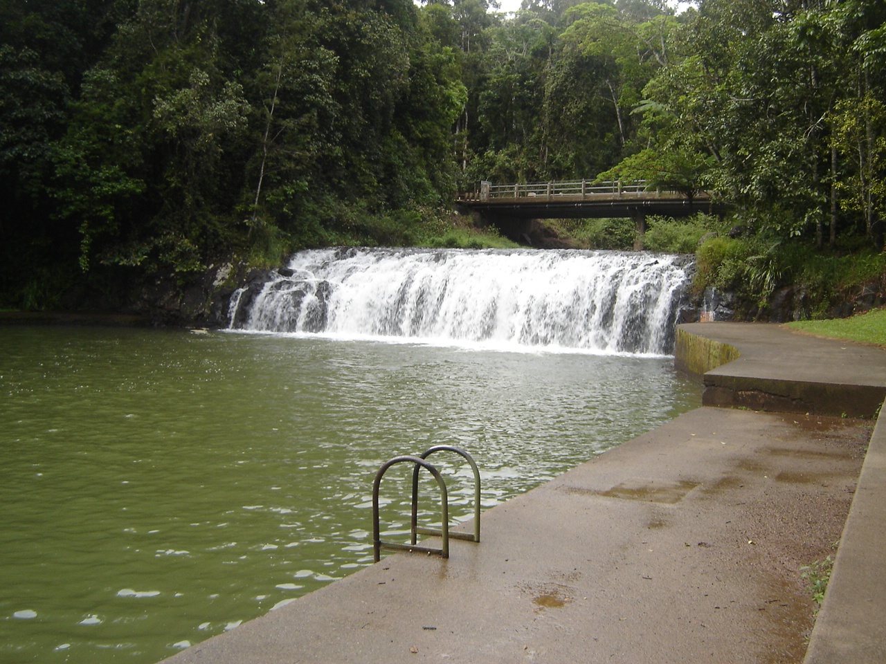
Malanda Falls
We stopped at Malanda for look at Malanda Falls and to buy fridge magnets and milkshakes. Later on my shake went through me like a dose of salts. Then it was down the Palmerston Highway and the Great Dividing Range to Innisfail in wet and misty conditions. Downhill was OK but I would not like to be towing in the opposite direction! Old bus struggled on the hills and whizzed on the downhills. I used low range gears to safely take us down the slopes without having to touch the brakes. We stopped at Innisfail and whilst Jude did the shopping I washed the wet bulldust and muck off the old truck, right in front of the Police Station! We refuelled and made for Cowley Beach and got lost along the way.
Revisiting Cowley Beach after 15 years was a nice surprise. We remember the beach and the run down caravan park with great nostalgia and wondered what had changed in the intervening years. Well, new owners, amenities upgraded and lawns mowed made for a much improved park. The friendliness was still there and the new owners went out of their way to make us comfortable. Cowley Beach has not changed at all and we were given a site at absolute beachfront, which was great. It rained hard during the night but we had no leaks. Not like the first time we stayed here in 1995 when the old Viscount had buckets on the floor to catch the water. The surf roared all night.
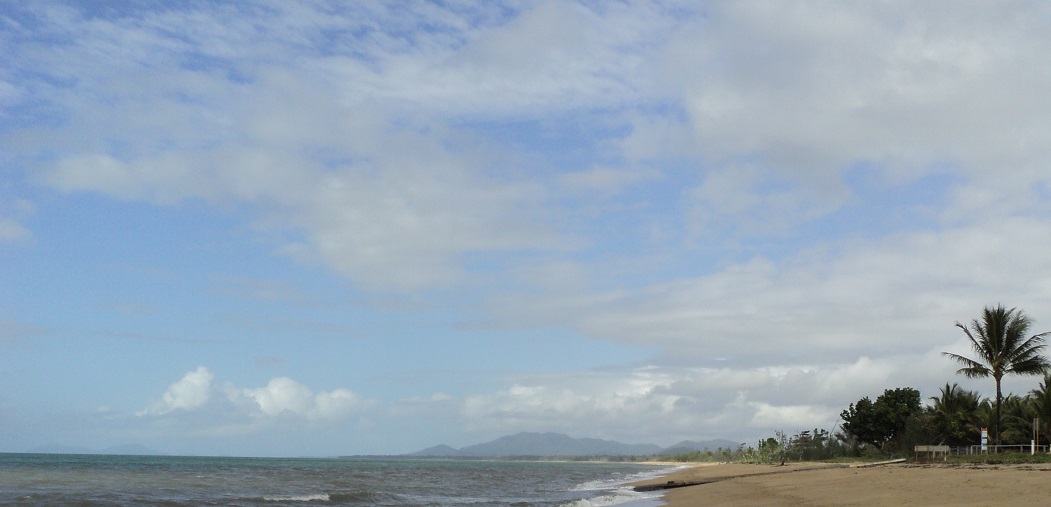
Cowley Beach
We walked on the beach a number of times much to Jeddah’s delight and found a variety of flotsam and jetsam together with seed pods which we collected for our Secret Garden at home.

Cowley Beach sunrise
Our gas bottle was getting light and I decided to do a swap and go bottle change. The new bottle however was very loose in the holder and seemed too small I so exchanged it for another one, which fitted, thanks to the park owner. I found a coconut on the beach and spent some time prising it open and then drank the milk and ate some of the fruit. The rest we saved. Got some info from another traveller about free camping places out of the Camps 3 book and decided that we had better buy one of these books. All in all a very relaxing day. Awake at 2.30am. Heavy dew outside. Turned the electric fan off and closed some vents and windows. Time to do some computer work. Back to bed by 4.30am after letting Jeddah out for a sniff and a widdle. On the road by half past eight. We visited Kurramine Beach, Bingle Bay and then Clump Point Access to the latter was down a very narrow jungle road with little chance of passing. But we met no one.
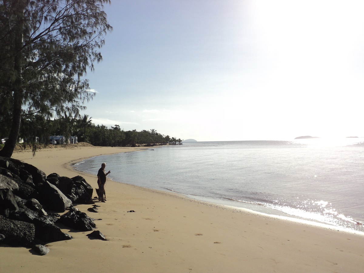
Mission Beach
Next place to visit was Mission Beach, Wonaling Beach and South Mission Beach. On the way out of the overcrowded beach areas to Tully, we saw a large male Cassowary walking along the roadside. Then we visited the Golden Boot at Tully and Jude bravely climbed to the top and got some great shots of the sugar mill in operation.
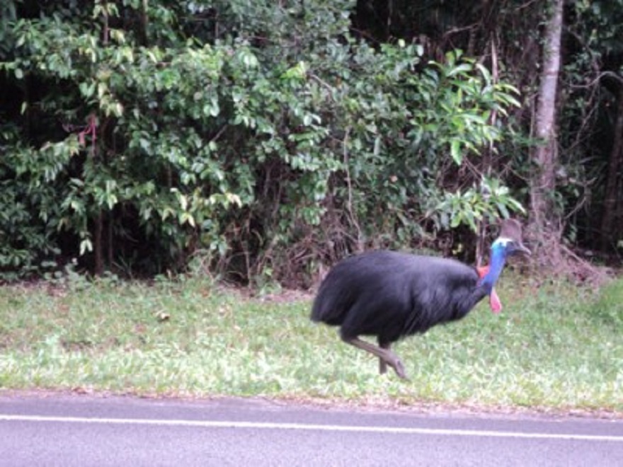
Male Cassowary
Then on to Hull Heads where we decided to camp for the night. It cost $12.50 and has toilets and hot showers and absolute river frontage. Our next door neighbours there were an elderly Swiss couple travelling Australia and when they saw that we were from South Australia they said that they were going to a small village near Port Pirie called Peterborough as their youngest son was a Rotary Exchange Student there in 1991. Small world! We did some beach walks but were in the van early in the evening as the Sandflies gave us curry even though we covered ourselves with Desert Dwellers Creme! Drunks nearby carried on till about 8pm and singers with guitar sang great songs filtering through the bush behind us till about 9pm. Couldn’t get to sleep and it ended up being a long night. Jeddah and I were at the beach at 6am walking through a heavy dew with everything around us being wet. We packed up and got on the road by 7.30am after hot showers, water top up and wheel pumped up. We had a good look at Tully Heads and then drove on to Cardwell where we had Fetta cheese pies for smoko. Jeddah would not eat her usual morning tea biscuits but liked pieces of pie instead. We made it over the Hinchinbrook Jump-up in second gear stopping for a photo at the top. The Datto’s speedometer turned over to 400,000 kilometres a short while after the descent and we sang Happy Birthday. Then we went and met a business acquaintance in Ingham and had a cuppa and a snack with him and a good yarn. Called in at Goodyear Tyres at Ingham after that to enquire about tyres but at $385 each it was not a viable proposition for us.
We were looking at our RACQ paper map out past Mount Fox National Park to Hervey’s Range Road which then would take us to the Gregory Development Road and on eventually on to Fletcher Creek where we had camped many years ago. We had hoped that the road would be following through a valley. At first the road was good narrow bitumen winding its way through cane fields. Then it became a very formed gravel road as we neared the mountains. I had engaged 4×4 but as we started the ascent the road reverted back to bitumen and so I disengaged the hubs so as to avoid differential wind-up. What followed was nine kilometres of switchbacks rising from close to zero sea level to 800 metres. I had the truck in Low Range third gear for most of the way and on the final pinches in second gear and hoping that another vehicle did not come to meet us on this very narrow road! The engine temperature reached 90 degrees and at a lookout near the top we let it cool down for five minutes. The tropical Rainforest was just magnificent.
At Michael Creek locality it was back to good gravel road, which eventually deteriorated to a washed out road. We were on top of the range now and out of the tropical jungle and into heavily wooded forest. Still, we saw lots of very tame Brahman Cattle around. Also saw a large feral Boar. The road then took us to Hidden Valley locality and a camp spot as marked on our map. A large gathering of young people however, were at the campsite and no space was left for us. We kept on driving. Heading south the road turned into a track which was quite corrugated in places and soon after we entered Zig Zag Station mineral lease with a plethora of signs warning people off. At one stage we saw a lone bushwalker. He was a young fella with a German accent with no hat and no water, who had got lost on a hike. I told him that it was about six kilometres back to his camp along the track. I asked belatedly if he wanted water but he had put his earphones in again and could not hear me as he strode up the track. Soon after a voice called me up on the radio and it was a bloke in a ute trying to past. I stopped him and asked if the road got through to Hervey’s Range road and he confirmed that we would soon get to a T junction, turn left and then be on a mining road. When we arrived at the junction we met a huge wide gravel road which had a better surface that most bitumen roads in Queensland! This road was good with some weird one-way (in both direction) bridges across creeks. Then we made it to Hervey’s Range Development Road, the Gregory Development Road and eventually we arrived at Fletcher Creek at 6.15pm. The place was packed with about 80 vans and RV’s but we found a reasonable spot as far from the road as possible and set up camp. Trucks made a noise on purpose using exhaust brakes on a flat road and snoring partners through the night saw me get up at 3.30am to do some writing. It was overcast at first then sunny the next morning and then very overcast again. So we decided to go to Charters Towers to buy a new set of tyres as the old Eldorados had come to the end of their life. We visited the information centre, bought books including Camps 5 (at last!), food, and a new set of Maxxis Bravo tyres. Then we had a roast chicken counter lunch at the Waverly Hotel and then it was 42km back to camp to do washing, battery charging, reading and snoozing. The next day Jude painted and I started reading my book, Source of the Nile by Sir Richard Burton, an explorer dating back to the 1850‘s. Jeddah stayed with Jude at the painting site near the creek. She was sleeping close to the embankment and rolled over in her sleep into the creek. What an embarrassed looking dog!!! Later we gave her a bath as she was becoming a tad smelly. She was not impressed with two dunkings in one day! Jude did a lovely painting of Fletcher Creek, which is still running at this time of the year. After lunch we did more reading and tried a snooze but Jeddah barked at passers-by and circumvented that.
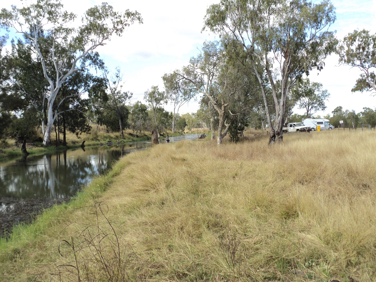
Fletcher Creek
We had a hot solar shower in the pterodactyl which refreshed us both. Later in the afternoon two vans pulled in either side of us and started up their generators. This pissed us off big time and although we were in the beginning of cooking tea we packed up and left, making for the Basalt Wall road a short distance away and also away from the constant noise of campers in exchange for the quiet of the bush. Tomorrow we will have new adventures. The Kookaburras serenaded us at sunset as we sipped our red wine.
Once back in Charters Towers the following morning and a refuel, we drove along the road to Townsville and called in to the Marcossan, free campsite, near the Burdekin Railway Bridge. I drove down a grassy track to a dead end and had to make a seven point turn to get the rig around facing the way we came again.
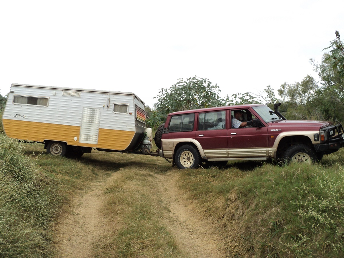
7 Point turn at Marcossan
Luckily the van is only relatively small and easy to turn around. Other places along the river looked unexciting and the ablution block stank, so we decided that this place was no good to our liking. We returned to the main road and at Mingela we turned south after having smoko in front of the local pub. The next town was Ravenswood, a historic mining town with quaint buildings and an olde-world look about it. There is a new operational mine nearby. The Showgrounds caters for campers in an oval fashion but it did not appeal to us and we pressed on to Burdekin Falls Dam. The countryside is heavily wooded with grasslands interspersed in between. Brahman-cross cattle range the bush. At the dam we drove around to look at all aspects of it and including the Lookout Platform and we also drove below the spillway to see the falls and the road to the south.
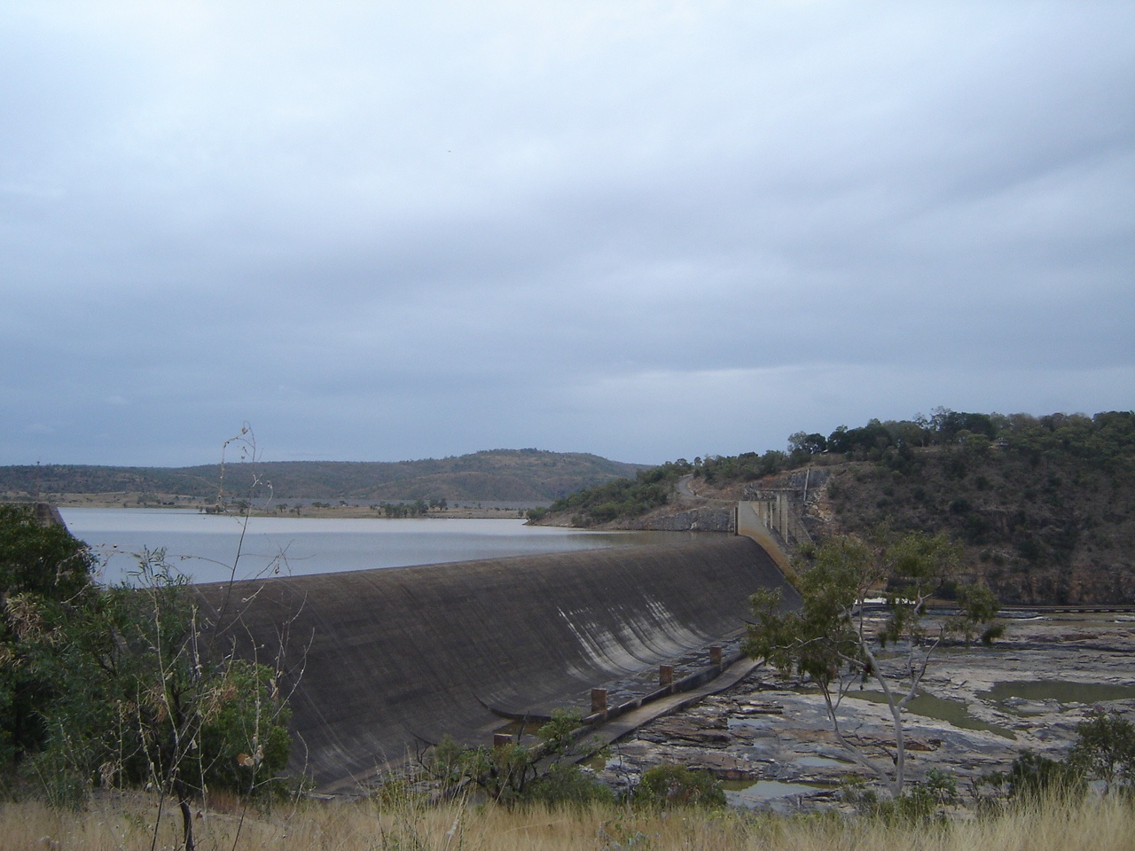
Burdekin Dam
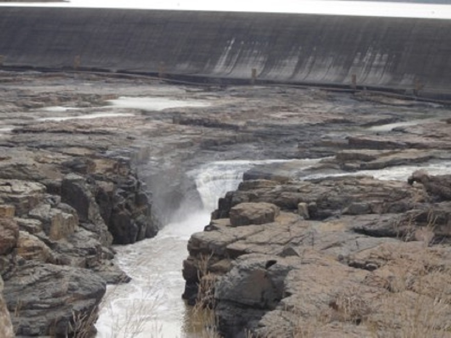
Burdekin Falls
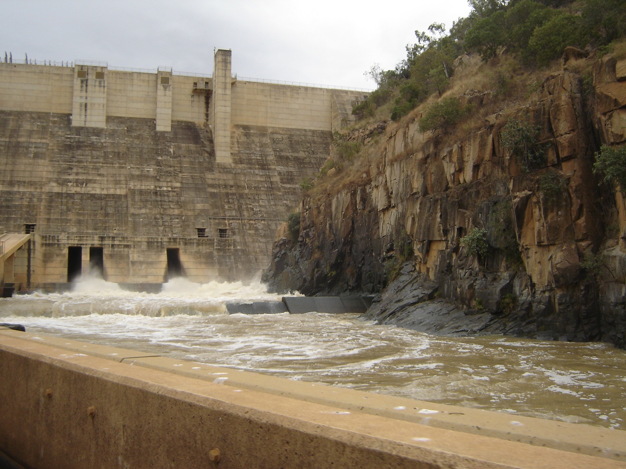
Spillway
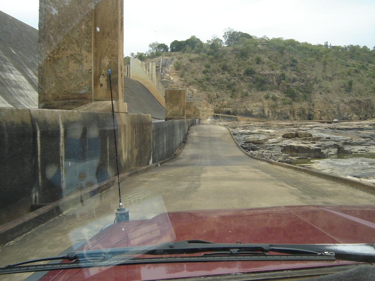
Spillway crossing
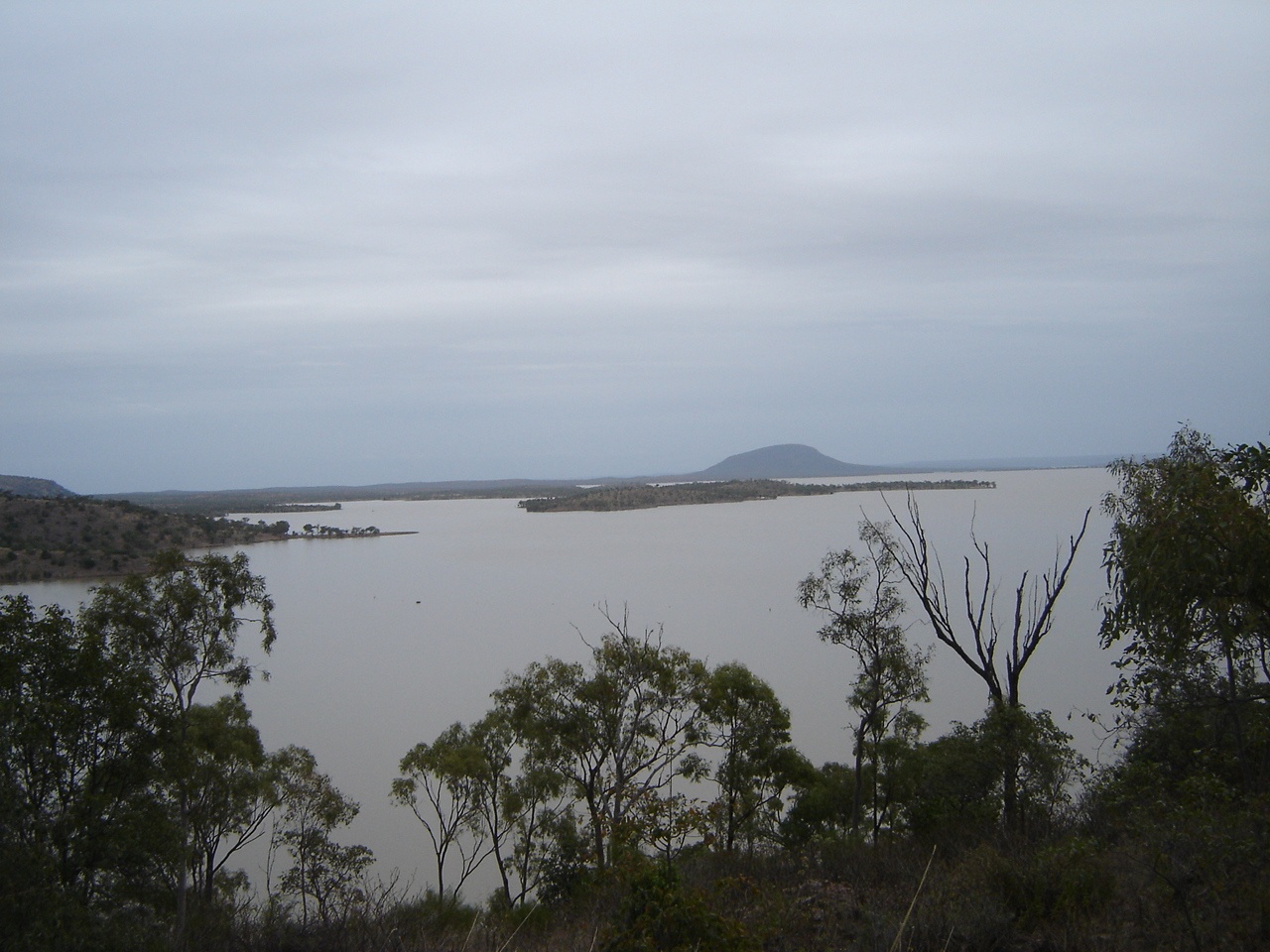
Lake Darymple
Then we made for the caravan park which is the only commercial facility at the dam and pulled up next to a camp with a Nissan the same colour as ours. Our neighbours were into fishing and had a car topper and outboard and I was absolutely amazed at all the gear they carried. The weather was spitting rain and it was not much better the following day. We had lots of chats with our neighbours about this and that.
Our next drive and we took the road south from Burdekin Falls Dam. The weather fined up. The first 20km along the Collinsville Road was up and down with some quite sharp dips. I found a Landcruiser which had rolled over the edge of a jump-up. It looked quite recent. Put my shoes on to scramble down the hill to see if there was anybody in it but there was no sign of anyone or bloodstains so we assumed all was OK. The engine was cold. It was obviously a station vehicle judging by the tray. There was also a motorbike on the back albeit a tad squashed. The road to the Collinsville turnoff was basically 40kmh stuff. I had let the tyres down to 28psi to smooth the ride out. From the Collinsville turnoff to Mt Connell the road was slightly better with less dips and a smoother surface. Mt Connell is an old mining town, now pretty much derelict. I asked about bitumen at the Mt Connell Roadhouse, if you could call it that and received a blank stare. No, there wasn’t any bitumen on the road towards Nebo. So off we went. There was bitumen for about a kilometre and then a good gravel road for around 105km. Lots of mining activity out there. The bitumen started again near the Burton Coal Mine and very soon we were at Lake Elphinstone free camp. There were about 20 camps. Lots of Jetski activities and boats and canoes, with kids having lots of fun. A V8 ski boat with kids in tow and with doof-doof music blaring also cruised the lake annoying some people. The amenities block was a bit sad but there was water on tap and also rainwater in a tank. After setting up camp we discovered that the caravan water pump hose had broken at the tank outlet and that we had lost all of our water. The plastic must have gone brittle. Much fiddling with and breaking more bits and getting cranky ensued, but it was repaired with epoxy within an hour and later it was holding water again. The radio aerial holder was also broken so that was repaired as well.

Lake Elphinstone
Our camp is right on the water and in a Kookaburra zone. There are also Hardhead Ducks with seven ducklings, Pacific Black Ducks, Grey Teal ducks, Darters, Honeyeaters, Magpies, Butcherbirds, Peewees, Lorikeets, Galahs, Cotton Pygmy Geese, Australian Shoveller duck and the inevitable Crows. The countryside was quite pretty on the way to Lake Elphinstone, with stands of eucalypt trees and grasslands. Quite a bit of traffic went past up until around 8pm and then it quietened down until around 4.30am again. The days were quite nice at Lake Elphinstone, which is a locality and not a town as marked on our maps. Wood was scarce for fires. And sandflies got active after dark. Jeddah and I went for a walk in the long grass to look for more wood but came away with only a few sticks, We stayed there for five days just taking things easy. Managed to do some repairs to the caravan stove whilst in camp as the framework supporting the stove had come adrift no doubt due to the corrugations on some of the roads we have traversed to date. For the rest Judith painted some scenes and even sold a painting to a local whilst I sat and read, did some bird-watching and spent my time moving the solar panel around. The last day at Lake Elphinstone turned cold. Friends from Darwin who were on holidays in Queensland, called in and had tea with us. The cold day had turned into a bitterly cold day with a very thick mist covering the valley.
Our next journey took us further south to Dawson River free camp seven kilometres west of Moura. We had arranged to meet our long time market friends at this place as they were camped there as well. Our journey took us along the road to The Junction, past the town of Nebo and then south down the Fitzroy Development road. We bypassed the town of Middlemount before reaching Dingo on the Capricorn Highway. There was nowhere to stop along the Fitzroy Development Road except for truck turnouts and we wanted to have a cuppa. Eventually I spied a gravel pit and drove in. It had rained the night before and the ground consisted of damp clay, which made movement outside very tacky. Jeddah managed to get her paws full of clay and we had to wash then with warm water much to her disgust! Before Duaringa the Fitzroy Development Road did a dog-leg south again and we went that way. The last 20 km was gravel road before we joined up with the Dawson Highway at Bauhinia Downs. That road must be the worst stretch of bitumen in Australia with bumps and potholes everywhere! The Dawson River free campsite is covered with black soil and after a light shower of rain made for a very muddy and tacky encounter. We had a good time however, with our friends. Generator noise is still a problem at these campsites and a bloke with a particularly noisy one was told off by someone else in a loud voice. The generator went quiet it was relatively peaceful after that.
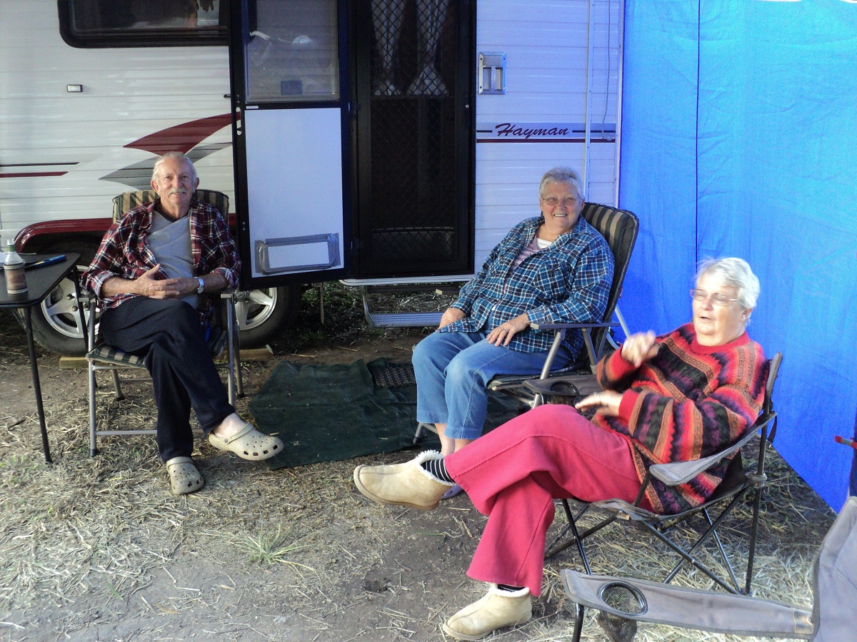
Les Marg and Jude
The next day we passed through the towns of Moura and Biloela. These towns have grown exponentially due to mining activity in the region. We visited Mount Scoria, which used to be called the Singing Mountain. When we visited it last in 1996, you could play a tune on the rhiolite rocks sticking out of the surface at the apex of the hill. Now the place is a conservation park with signs everywhere and a local aboriginal interpretation of the area and no mention of the sound qualities of the mount.
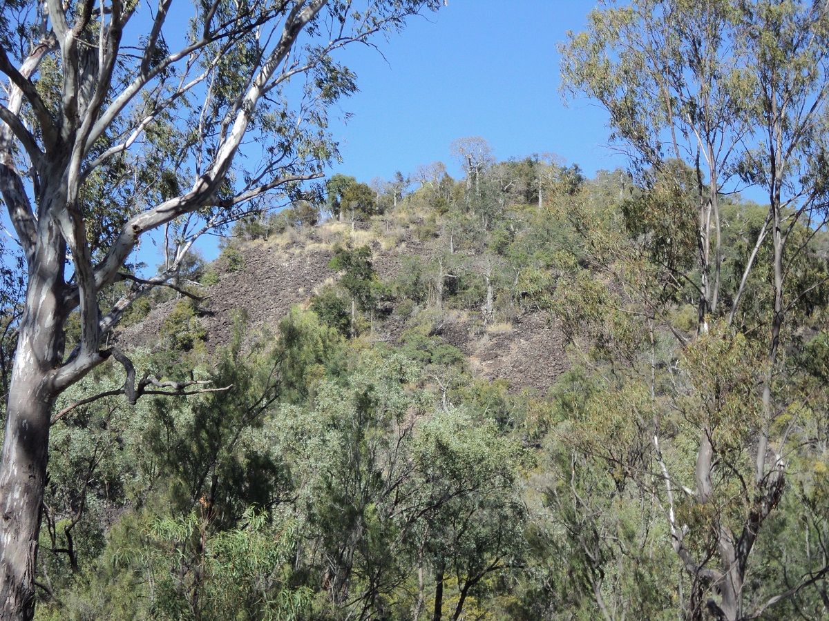
Mt Scoria
We followed back roads from there to get back to the Burnett Hwy. At Monto I enquired after the road to Gin Gin and Bundaberg via Mount Perry and found out that there was a newly built and sealed road going that way, as the alternative route via Biggenden and Childers was around 100 km further. We stopped for a break at Ceradotus free campsite at the Burnett River crossing and then took the road to Gin Gin and Bundaberg via Mount Perry. There were a few steep pinches that required shifting down to second gear but nothing too serious. We stayed with friends on the outskirts of Bundaberg for a few days. Our journey further south took us to Burrum Heads, Toogoom, Hervey Bay and Maryborough before we crossed the Bruce Highway again to join up with the Wide Bay Highway. We were not impressed with the coastal development of the Hervey Bay area. Everything looked so artificial to us. We visited friends at Wondai and stayed there for two nights. We picked up the Brisbane Valley Highway out of Nanango and drove down the ranges across the Wivenhoe Dam barrage to visit friends on the slopes of Mount Stradbroke near Fernvale. Their property lies quite high on the slopes of the mount and I had to resort to low range gears to drag the van up the hill. The view from their veranda is quite spectacular. Still heading south we drove the Scenic Rim route from Marburg to Boonah and Rathdowney where we stopped over with friends.
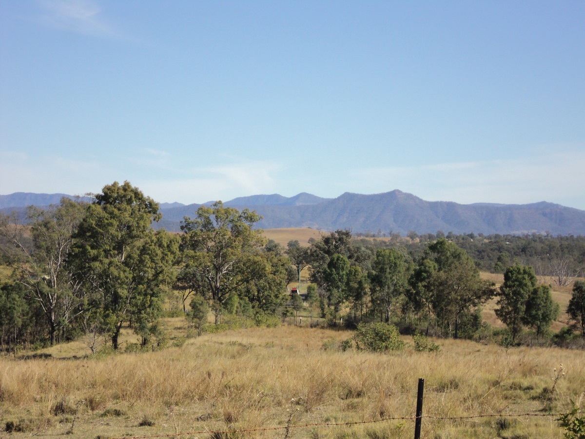
Scenic Rim
They kindly agreed to store our van for a few days while we drove to Tweed Heads to attend to some family business. We took the Lion Road across the ranges and through the Border Ranges National Park which was quite spectacular. New bridges have been built on the Queensland side of the ranges but the road from the border crossing to Kyogle and Murwillumbah leaves a lot to be desired with uneven and bumpy surfaces. The drive is very spectacular however and as we drove it on a Sunday it was popular with bikers swinging their way through the numerous twists, turns and hairpin bends. Along the way the Border Railway Loop is visible from a lookout where you can see part of the figure 8 loop through some tunnels which gives trains an easier gradient climb across the ranges.
Border Ranges
Once in the hub of the Tweed the traffic turned to frantic and we longed to get back to the bush and its quieter ways.
Darling Downs journey 2010

Cunnamulla fella
Getting across the Great Dividing Range towing with an old slug of a diesel is always a worry as one tends to collect a funeral procession of vehicles behind you with little chance for them to overtake and speed away. After leaving Tweed Heads and a visit to the Bilamil Chemist where we obtained some medicines for our sore throats, we sped along the Gold Coast Motorway to Nerang and then along the roads to Canungra, Beaudesert and on to Rathdowney to collect our van. It wasn’t long before we were downshifting gears to climb the slope up along Cunninghams Gap Pass. The Nissan finally settled on 2nd gear at 45kmh and 3000rpm to reach the top where the temperature only reached a high of 81 degrees. A number of B-doubles passed us as their engine power is extreme but they had a passing lane right to the crest of the Pass and this alleviated any stress on my side.
Cunningham’s Gap Pass
We passed through Warwick after a refuel and en route to Inglewood we saw a sign, about 40km west of Warwick, to a campground at Glendon and decided to go there. And a very nice campground it is on a sheep station with modern facilities. Immediately upon setting up camp we were invaded by the local families of Miner birds, Happy Jacks and a resident Magpie, all wanting a slice of whatever we were able to provide. Ducks and Wallabies grazed contently on the edges of the campground.
Glendon Camp
We were far enough off the highway to hear little road noise during the night. At Inglewood we used the dump point facility, topped up our water containers and after buying some delicious pies from the local bakery we had time off and a cuppa in the park. The road across the Darling Downs to Goondiwindi and beyond is now in good repair and we were able to maintain a steady 90kmh speed. The inevitable shopping at Goondiwindi occurred but we were surprised to find that there wasn’t a Woolworths shop in such a large and busy place. We had lunch under the fig trees on the banks of the Macintyre River. Leaving Goondiwindi we headed north to Moonie and our destination on the Balonne River at Surat another 270 kilometres away. The outback bitumen roads that make up the communication lines between far flung towns and communities are now being pounded by the ever increasing flow of heavy trucks carting produce or supplies to major centres. We decided to collect some wood for a fire along the way. In doing so we disturbed a Black Headed Snake which came out of its hole to see what was going on. Me, Jeddah and Jude backpedalled in all directions. The snake got such a fright that it scurried down the hole from where it had come!!! We stopped at Glenmorgan Locality to have a look at Monty’s Vintage Car Museum, a man with a passion for Fords.
Ford Museum
I
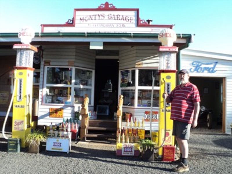
Pump Jockey
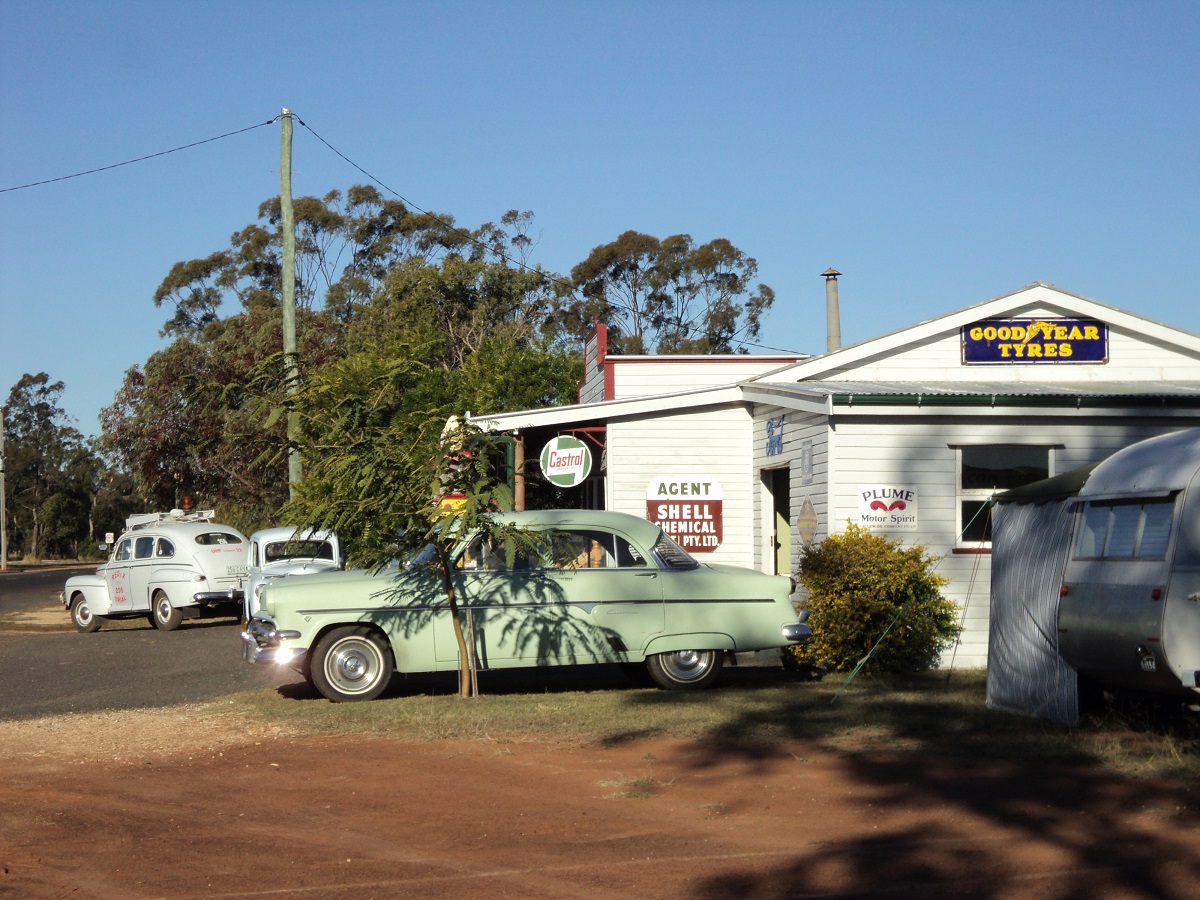
1953 Customline
It displays mainly Fords but with a few ring ins. I asked the owner if he knew Tom Prior of Chillagoe, who also has a collection of Ford cars, and he said yes and that they exchanged parts on a regular basis.
We arrived at Surat in the late afternoon. The town, is well known for being a staging post for Cobb and Co in the late 1800’s. We made our way to the Surat Fishing Club’s free camp site on the Balonne River just on sunset and set up camp adjacent to some other South Australian travellers.
Surat
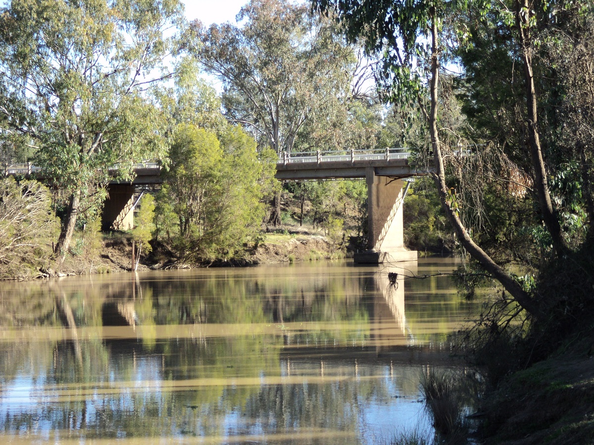
Balonne River
It seemed however that one could not get away from a truck route as at least 30 B-doubles passed in both directions within the next few hours! Once we had set up camp we lit our fire and soon had the neighbours around and we chatted till quite late before having a feed. River cats came into the camp looking for tucker. Around 9pm the truck traffic stopped until around 5.30am in the morning when it started spasmodically again. We were feeling crook that day and worse the following day. We decided to visit the Surat Hospital on our way out on the Saturday. The local doctor said we had to rest, drink plenty of water and take the tablets we had bought to clear up a viral throat infection but declined in giving us antibiotics. We drove back to the campground and set up camp again. Distance for the day was 2 kilometres. Must be a record for the shortest day’s travel! We were now in need of a new Starter Motor for the Nissan as well as it was becoming increasingly hard to start. The starter motor had been playing up for a few weeks before and I checked and cross checked earth wires and contact points. Engine would not fire on main battery alone but fired up with both batteries in parallel. I was up at around 5.30am to take Jeddah outside to do doggy things. Must take the torch next time as her blackness just melts into the night shadows. There was quite a thick layer of ice on the truck that morning. We slept in a bit which is unusual for us. We scavenged left over firewood from the vacated camp sites and later we went for a drive around town. Accessed internet at the library, bought some supplies at the shop and bought a book at the book exchange. Bought some more cold and flu caps at a price! Collected some more wood from the scrub. Jude went for a tumble in the long grass but came up laughing. Set up the solar panel and solar shower. Put up the toilet/shower tent nand had a shower in the arvo. Worked on batteries and isolators on Nissan’s engine. Cleaned starter motor with degreaser. Found some exhaust fumes leaking from exhaust system. Not too serious at this stage and it should get us home. Judith cooked Hungarian Goulash on fire outside despite being crook ! Yummmmm. We rested. Listened to an old fella playing Country and Western Music on his guitar in the afternoon. Chatted to other travellers. Sat around our campfire. Today we saw Red Rump Parrots come for a bath in a pool of water nearby. The local Willie Wagtail is very tame and hops around within half a metre of ones feet. Magpies come over for a gander to see what’s for lunch and Black Backed Butcherbirds sing their melodious songs. We also saw a White-faced Heron down by the river together with a mob of noisy Corellas and some Straw Necked Ibis. The night was rough as we coughed and spluttered. Drank lots of water which had its own consequences. Had a lazy morning and packed up slowly after having a shower and messing with water. Saw a very white Kookaburra near the river. Gave some of our left over scavenged wood to another camper. We left Surat at around midday and took a gravel road shortcut to a road that would lead to the town of Yuleba on the Warrego Highway. A short way in we came across a new bitumen road and made our way there stopping off at the Native Well rest area. I went for a walk but could not find the native well.
We went in search of Judd’s Lagoon free camp and found it. What a beautiful spot it was and with only one other camp there. Another camper came in just before dark. We went for a walk and collected firewood and I spent an hour getting prickles out of my socks. Across the lagoon a station sheepdog waded through the water to meet Jeddah. And what lovely games they had! We sat around the fire chewing the fat talking about this and that. Mozzies gave us a hard time so we beat a hasty retreat into the van. Our sickness did not seem to improve during the night.
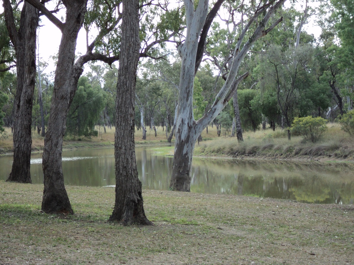
Judds Lagoon
We were on the road however around 8.30 and bound for Roma. Did some shopping there and also had batteries tested. They are both OK so it must definitely be a starter motor problem. Visited the auto electrician who got a price of a new one for me. Wow..$800!!!! Will soldier on with the old one methinks. Got to Neil Turner Weir free camp at Mitchell and bumped into a friend of a friend from home.
Bottle Tree Mitchell
We went to the artesian spa for an hour or more and heated up in the 39°C degree waters for 10 minutes at a time. After that we had an ice-cream each and visited the library for internet access and cleared our inboxes. I am still a bit crook today. We had bought some medicines from the Pharmacy in Roma and the doctoring continued. Generators nearby caused us to move away from the crowd to near the wall at the weir to get some sleep. I moved the rig off the grass onto the gravel early in the morning. Later both batteries were low and the engine would not fire. We had to get the RACQ in to give us a jump-start. Our next destination was Charleville. We stopped at Morven for smoko and a look around.
At Charleville we shopped around for a starter motor and although we could get one the cheapest one was $540. This was still a tad exxy so we bought a Jump Starter instead for $88. Then we had lunch in a park and fed the ducks, geese and chooks that roam the park.
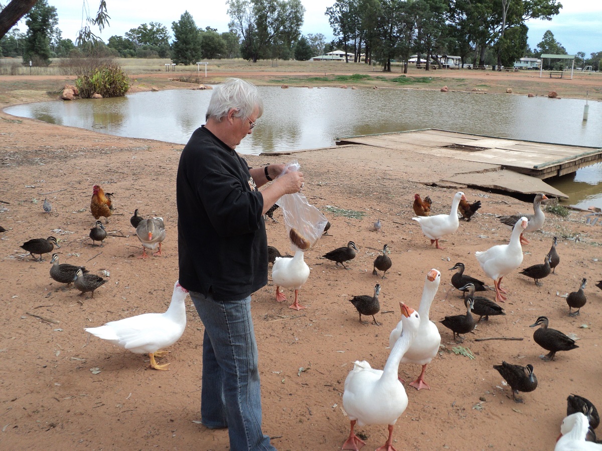
Feeding time
On the way to Quilpie it started raining. We pulled into the Channel Country Caravan Park and scored the last powered site. Got ourselves wet and muddied in the process but we slept dry. Jeddah slept in the truck tucked away safe from the cold and wet. We both slept very well most likely due to exhaustion and we were both feeling a little better the following morning. We were up early and had our showers to get premium hot water and to avoid the rush. The mist hung heavy over the town.
At the Information Centre we were advised that that the roads we intended taking via Eromanga, Noccundra and Tibooburra were closed and were likely to be closed for some time. So we decided to cut our losses and backtrack home via Cunnamulla, Bourke and the usual run through Cobar, Wilcannia and Broken Hill.
Just out of Quilpie we spotted an Opal Fossicking sign and drove in to a non-descript area with some broken rocks. Methinks that the rocks were dumped there deliberately as a tourist attraction. The sun had broken through the mist and the wet stones were shining in the morning light. Jude managed to find three slithers of opal and a Yacka-nut. She was very pleased with herself. At first the road to the south west was quiet with some sections single lane. Luckily it worked out that when we met other vehicles on the road it was at the flood-ways where the road widens. There were lots of ponded water puddles to the side of the road and some on the road. One creek was running a banker and looked like it would spill over the culvert at any time. We stopped at Eulo for a break and a snuffle in the Craft shop and then made for Cunnamulla. After buying some lunch we drove down the embankment of the Warrego River at Cunnamulla to munch our pies and the rig sank into deep mud. Our new traction tyres however pulled us up and over the embankment with ease when we left with much relief from us as I had envisaged having to winch out of that possible predicament. We had a leisurely drive south towards the New South Wales Border at a rest area on the power line easement 65km north of Bourke just off the side of the road. We saw 16 road trains along this section and wondered what the night would be like. But the night was quiet. We collected mobs of dry wood and had a roaring fire. We camped away from everyone and heard strange bush noises. We figured out that it must have been some kind of dove making coo-ing sounds. Today we saw lots of Emus, some Brolgas, other unidentifiable waterbirds and Pelicans and also plenty of dead kangaroos and feral pigs. We also saw a black cat, a baby feral piglet and two large lizards.

Darling River at Wilcannia
Woke up early to lightning flashes and a short shower of rain. We packed up quickly and hit the road by 7am but by then the rain had stopped. The trip to Cobar via Bourke was uneventful apart from our coughing and wheezing. Had a Big Breakfast at the Bakery Café in Cobar and then made for Wilcannia. After refuelling at Wilcannia the starter refused to budge and we had to be tow-started away from the bowser.
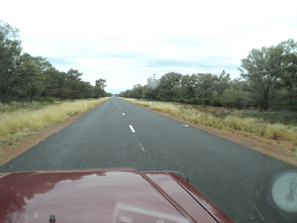
West from Wilcannia
The countryside west of Cobar, all the way through to Peterborough, and even the most drought affected areas around Broken Hill, were lush green. We have never seen the pastures looking so good. The ‘lake’ at Little Topar was full to the brim and threatening to flow over the highway. The feral goats, a well known sight along the Barrier Highway, looked extremely healthy and were breeding up like mad with lots of kids running behind their mothers.
We arrived in Broken Hill at 4.30pm and caught up with friends there and parked the van on a neighbour’s block for a couple of nights. I unhitched the van and parked the Nissan so that it could be towed started the next time. The following morning we were both still pretty crook. My mate tow started the Nissan and I took it to Western Auto-electrics and they had her back on the road by lunchtime starting nicely at a very nominal cost. In the arvo our friends took us for a drive to Silverton and the girls had fun in the art and craft shops. Back at Broken Hill there was a big storm late that night and Jeddah became delirious with all the thunder and lightning.
On our last travelling day I made Jude get rid of the fruit we had with us just in case we got inspected at the Fruit Fly Quarantine stop. She got cranky with me. In the end the Quarantine Stop wasn’t operational but by that time I had been forgiven. We were home by 12.45pm. Our house was icy cold but we soon had it as warm as, by running the reverse cycle air conditioners.
What great holiday! We travelled a tad over 12000 kilometres along new roads and tracks and experienced some great country and a diverse mob of people. Apart from the dreaded flu, which didn’t leave us for around three weeks, we had ne’er a worry or distress. Must do it again soon!
Wildflowers 2010
After reading reports of the annual blaze of wildflower colour in the desert dunes near Roxby Downs in South Australia, we decided to take a drive to have a look for ourselves before the plants had run their life cycle.
Sturt’s Desert Pea swainsona formosa was named after the European explorer Captain Charles Sturt, in his travels through outback Australia in 1844/45, although they had been collected as a specie by William Dampier in 1688. The genus name Swainsona honours Isaac Swainson who maintained a private botanic garden at Twickenham near London about the year 1789. The specific name formosa is Latin for ‘beautiful’. The plant famous for its distinctive blood-red leaf-like flowers, each with a bulbous black centre, or “boss”. It is one of Australia’s best known wildflowers. It is native to the arid regions of central and north-Western Australia, and its range extends into all mainland Australian states with the exception of Victoria. It is the state emblem of South Australia.
It is generally considered to be a short-lived annual, it has been known to persist as a perennial if conditions are favourable. If the roots are left undisturbed, flowering may resume in the next season.
It is well adapted to life as a desert plant. The small seeds have a long viability, and can germinate after many years. Seeds have a hard seed coat, which protects them from harsh arid environments until the next rainfall, but inhibits germination in normal domestic environments. Growers can overcome this dormancy either by nicking the seed coat away from the ‘eye’ of the seed, by rubbing the seed gently between pieces of sandpaper, or by placing the seed in hot (just off-boiling) water and leaving it to soak overnight.
Once germinated, seedlings quickly establish a deep taproot, vital for desert survival. This means that if domestically grown, they should either be planted in their intended final location, transplanted as soon as possible after germination, or grafted as a seedling on to a different root such as the bladder senna, Colutea arborescens. They do not tolerate disturbance of their roots but, once established in well-drained soil, require little and infrequent watering, and can withstand extreme heat and sunshine, as well as light frosts.
Sturt’s Desert Pea is not endangered, but it is illegal to collect specimens of the plant from Crown Land without a permit. The plants must not be collected from private land without the written consent of the land owner.
Some aboriginal tribes know it as the Blood Flower. Mythology says that a young girl had been promised by marriage to an older tribal elder. She escaped the tribe with a young man and they went to live far away. Some time after that event they were tracked down by the tribal elders and killed. Again even later in time the tribal elder had an opportunity to visit the site of the murder again and found the blood red flower where the young girl had died.
Arriving at Roxby Downs in the late afternoon we still found the Information Centre open and armed with a mudmap supplied, we made for the closest sighting. We had read of variations to the colours but internet research seemed to suggest that this could only be propagated by grafting. Not so it seems, as our first sighting was of a sea of red flowers with 5 white flower clumps set in the middle. We also saw the flowers in the colours purple, brown, orange and pink and we were told, by a local resident, that there is a yellow variety as well.
The viewing sites lie between Roxby Downs town, which services the mine site for BHPBilliton’s Olympic Dam Mine. Located 560 kilometres north of Adelaide, Olympic Dam is a multi-mineral ore body. It is the world’s fourth largest remaining copper deposit, fifth largest gold deposit and the largest uranium deposit. It also contains significant quantities of silver.
Just before sunset we crossed a sanddune off the Andamooka Road and found a nice secluded spot for a camp away from the public eye. Dry Gidgea wood was in abundance and we had a rip roaring fire to cook our tucker and to boil the billy. Some drops of rain were heard during the night but at sunrise there was no wetness outside our van.
We spent the morning looking at a sea of flowers and not only the peas, as the desert is in full bloom after good winter rains. Judith painted the colours on a pad for future reference and later in the morning we drove to the Opal Mining Town of Andamooka. After buying some touristy things and food we concluded that one would have to have a special temperament to live there. We spent some time noodling at a noodling mullock heap set up to keep tourists amused.
And it was so back to Olympic Dam and on to the Borefield Road across the endless flat plains. Some say that the landscape is so flat that if you looked towards the east you could see into the middle of next week! About halfway along this road we stopped for a cuppa and found that the outlet pipe of the watertank on our caravan had broken and that we had lost all of our water. I had a spare outlet nozzle and fitted it and away we went again. Nearing the Oodnadatta Track after 114 kilometres of good gravel road we were stopped by a fellow traveller who advised that the Oodnadatta Track to the south was closed at three different places as there had been a substantial amount of rain. We said thanks and pushed on to the viewing point at Lake Eyre South to see the last of the water in the lake. Evaporation is increasing now with summer temperatures on the rise and the lake could be dry by the new year. Here we discovered that the replaced watertank nozzle had also broken. We were going to drive the Oodnadatta Track towards the town of Marree and then wait for the roads to open, but faced with the prospect of having only 30 litres of emergency water left in our containers, we opted to return home the way we had come. So it was back down the Borefield Road again and for a second night’s camp between the sand dunes.
The following day we went scouting for some more Sturt Pea sites and by mid morning we were wending our way back towards Port Augusta and home. We stopped at the Woomera Cemetery and visited Len Beadell’s grave. At Woomera Township we walked around and took photos of all the planes and rockets on display. We visited the information centre and made some valuable purchases.
The 310km journey home was uneventful except for seeing a flock of healthy looking Emus. After a refuel and a feed at Port Augusta we made our way up Horrocks Pass to the higher foothills of the Southern Flinders Ranges and out across the inland route towards our place