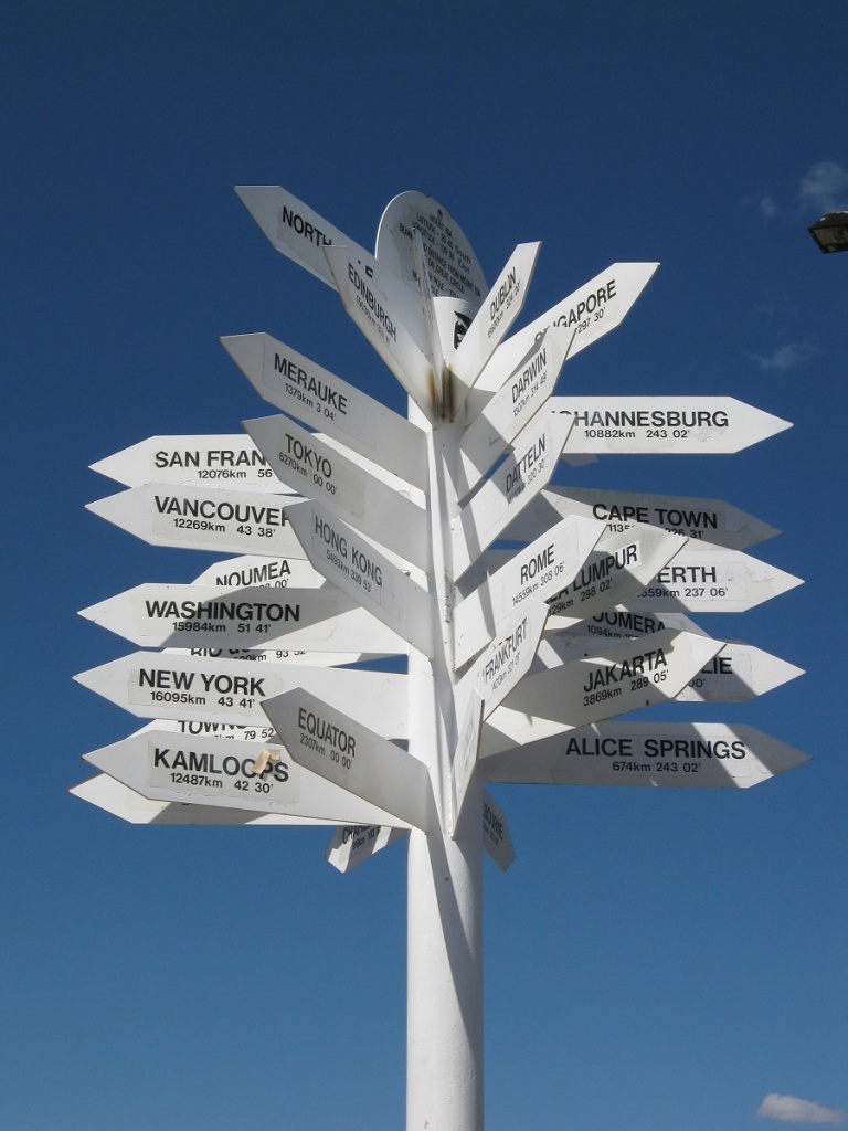
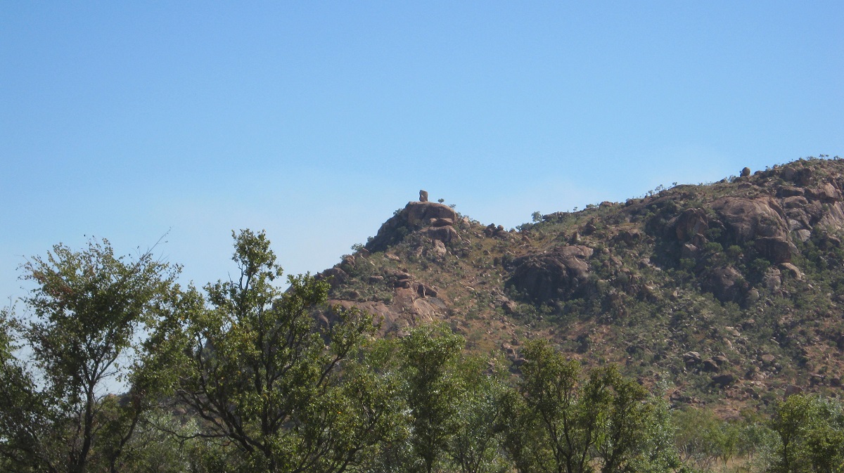
Gone Walkabout..Alalya Dreaming ..The Princess Parrot ..Up the Tanami Road ..The East Kimberley ..Arnhem Land ..Hells Gate Pass
2012
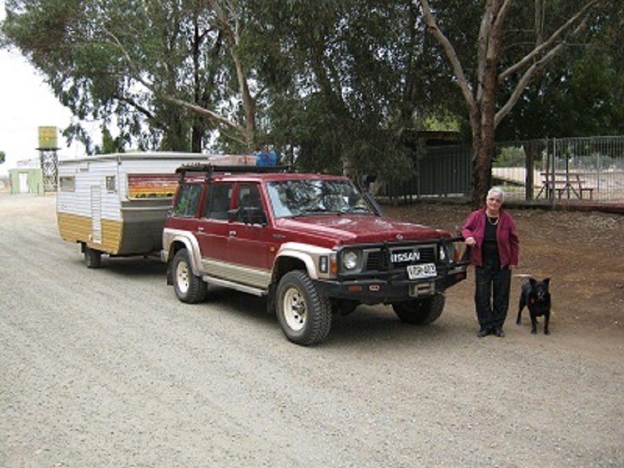
Christmas and New Year is normally spent at home. Some-times we have guests but most times it is just the two of us, and Jeddah the Always Hungry Dog.
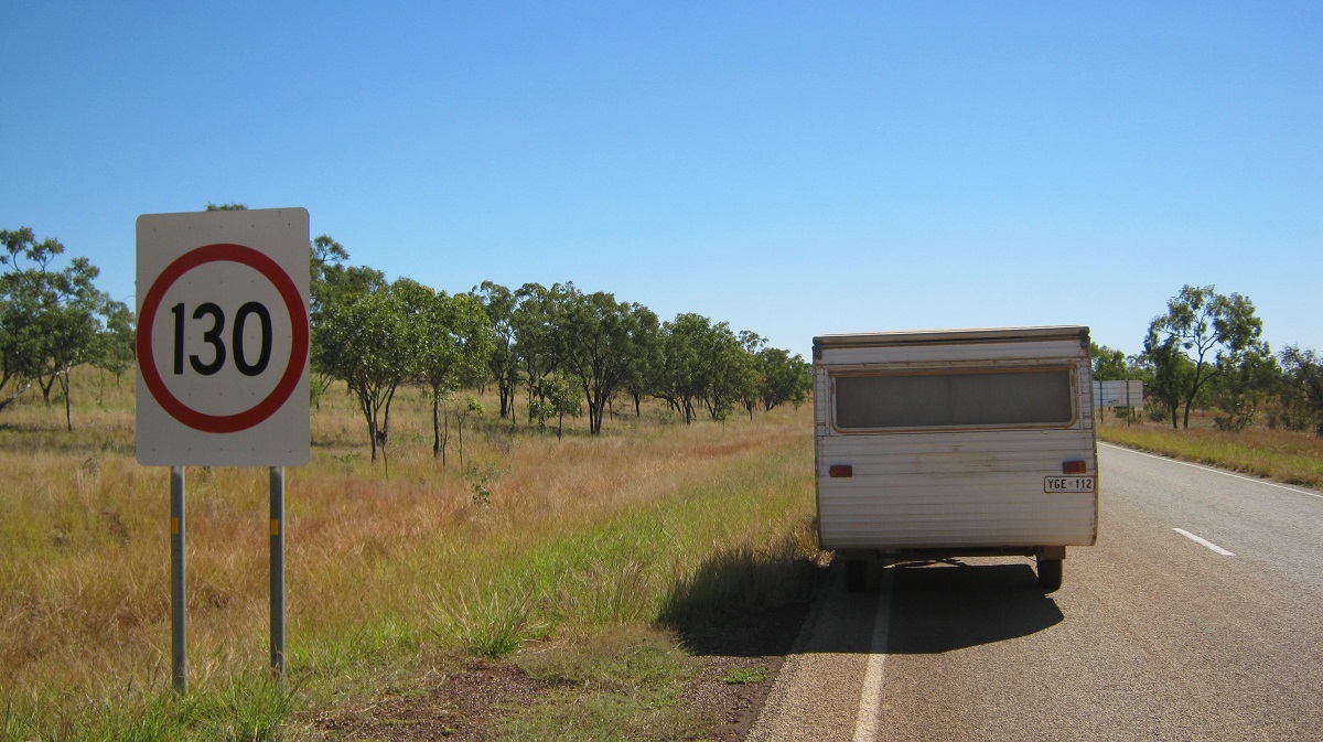
Gone Walkabout 2012
Just getting away from home is an adventure in itself.
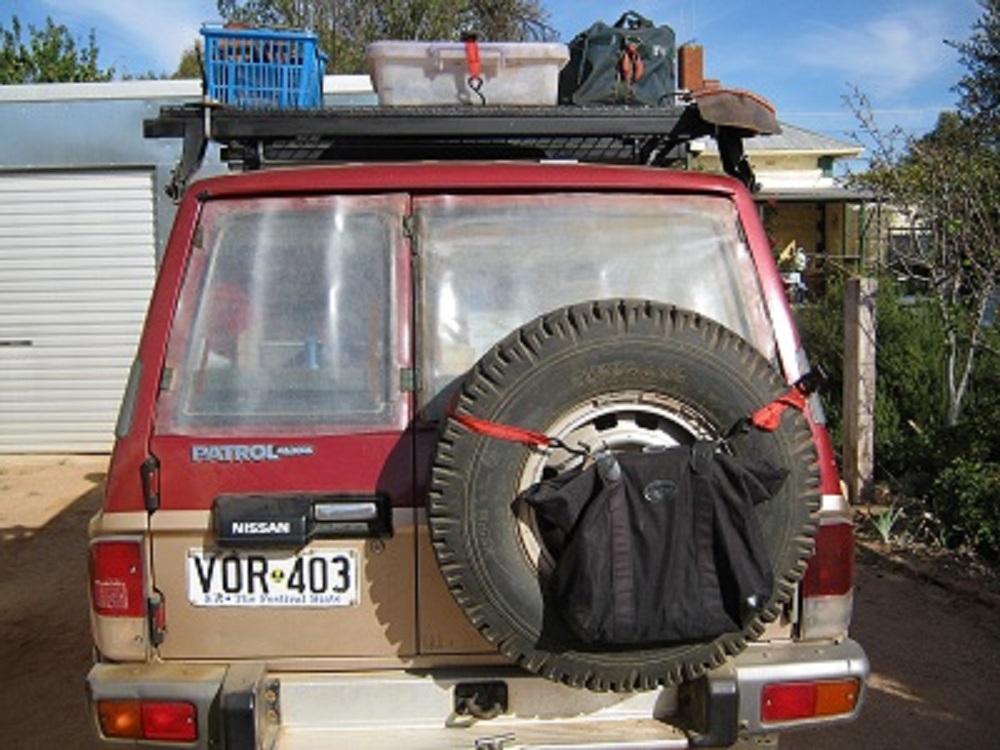
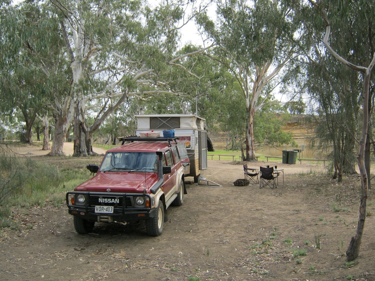
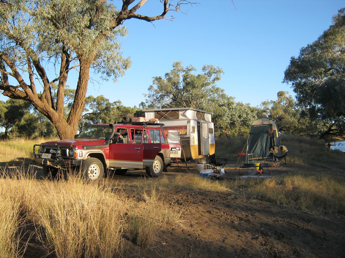
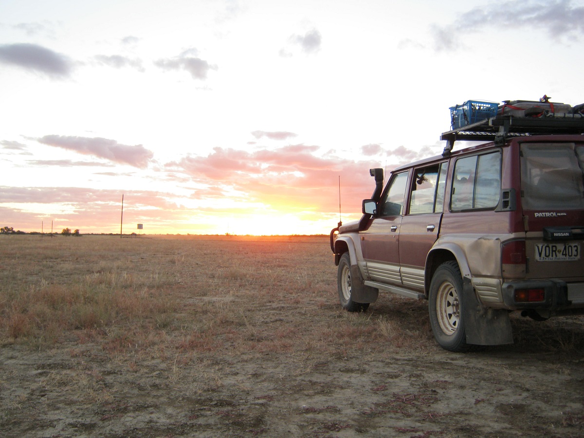
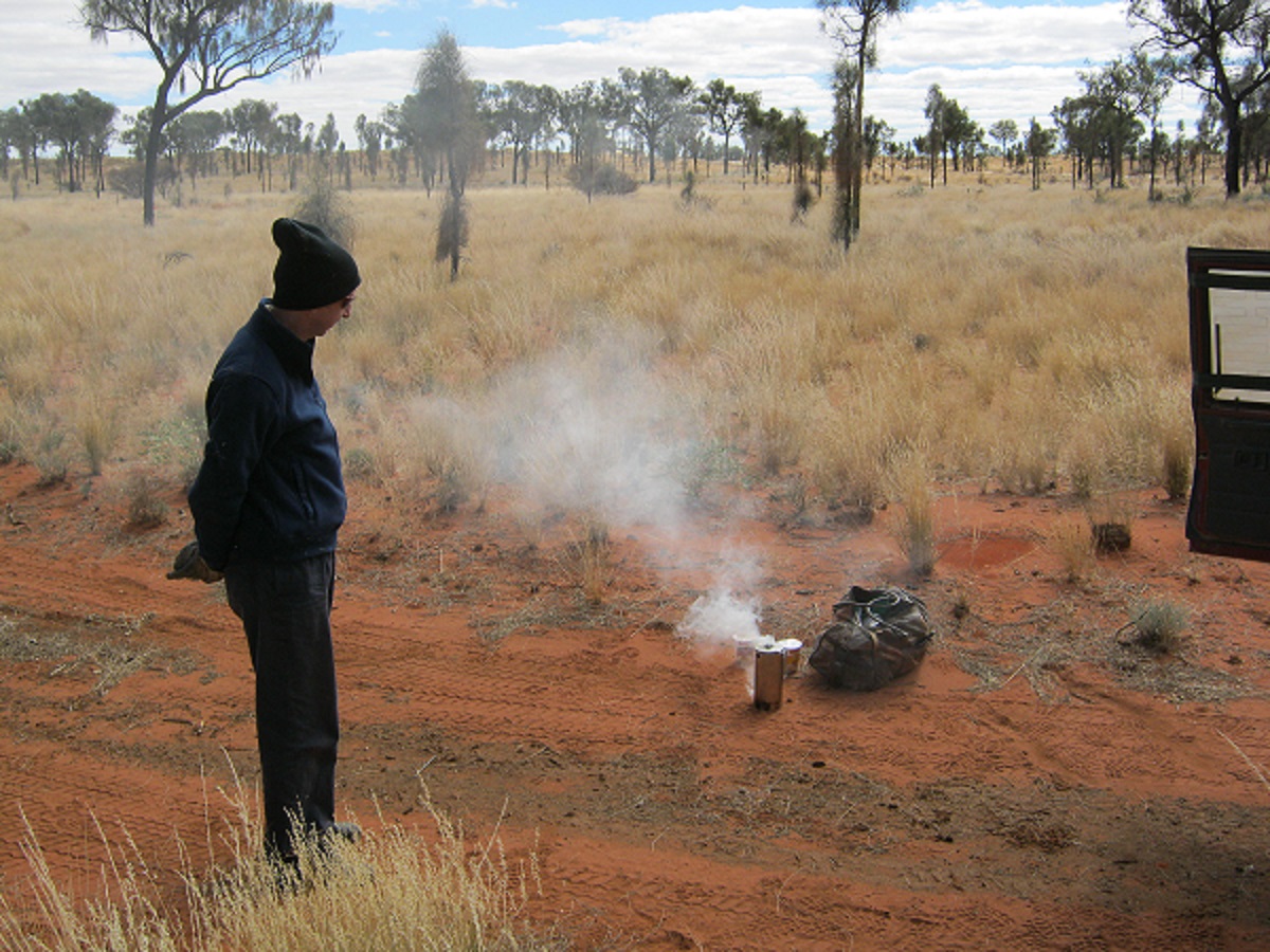
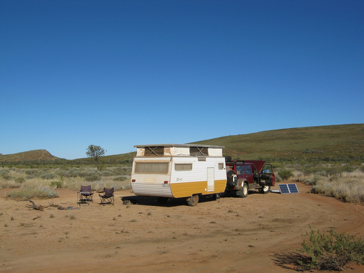
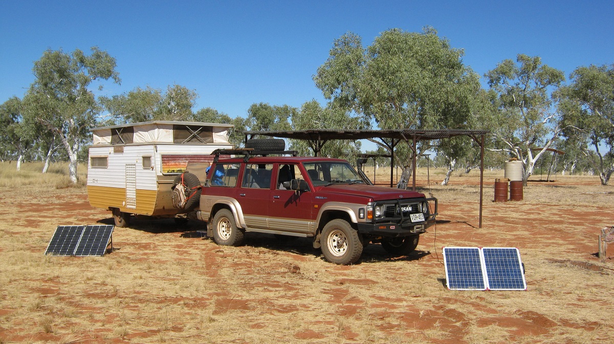
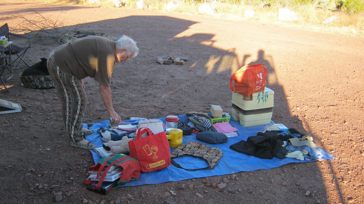
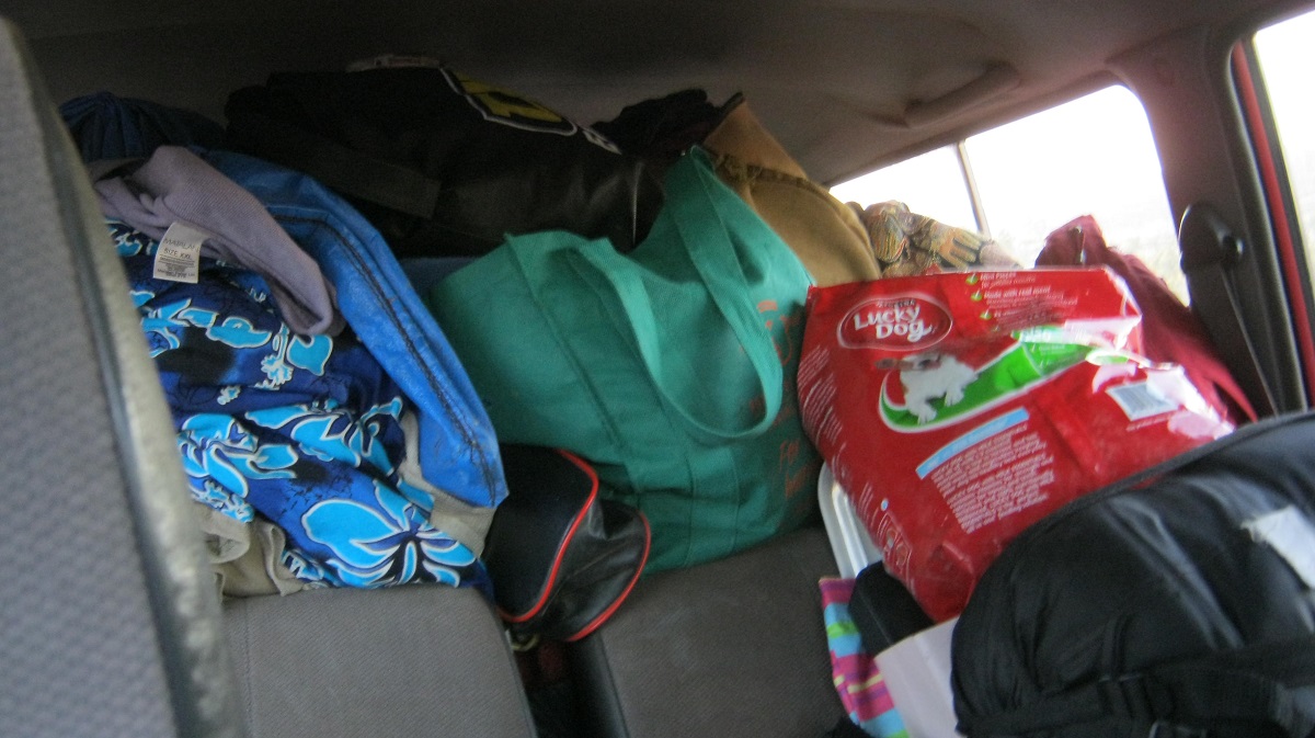
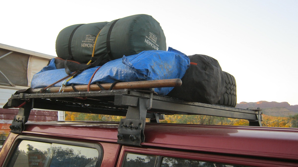
Packing the vehicles to go on an extended tour always takes a lot of fine tuning and figuring out just where to store what without increasing the weight carried. This year I have had to build a ramp for our ageing dog Jeddah, who is starting to suffer from stiff joints.
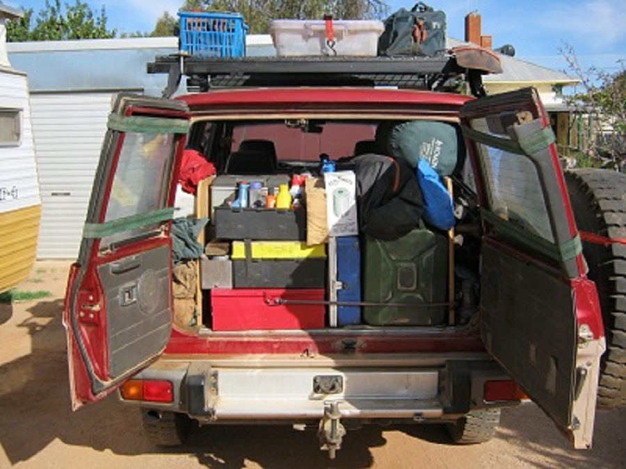
And there is still space
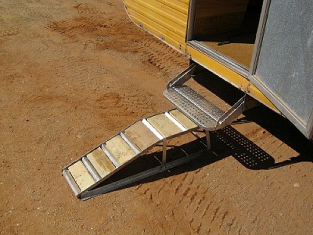
Doggy ramp
Window protectors
There are so many things to do. From making sure that all windows and doors are locked to storing the computer external hard drives in a safe place, to removing ink from the printers, to switching off all power outlets and water mains, clearing out the refrigerator and freezer, filling up the rat and mouse-bait containers and securing the house and outbuildings. Then the garden has to be pruned before winter and hanging baskets moved to where they can survive the winter frosts.
The caretaker of our house has been given a written list of instructions so that the gold fish are fed and the property maintained whilst we are away. And so….a new adventure begins……
Start of the adventure
t
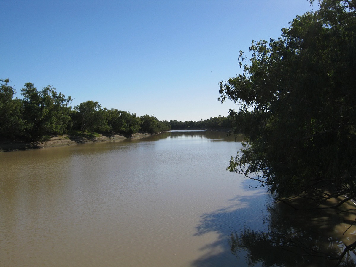
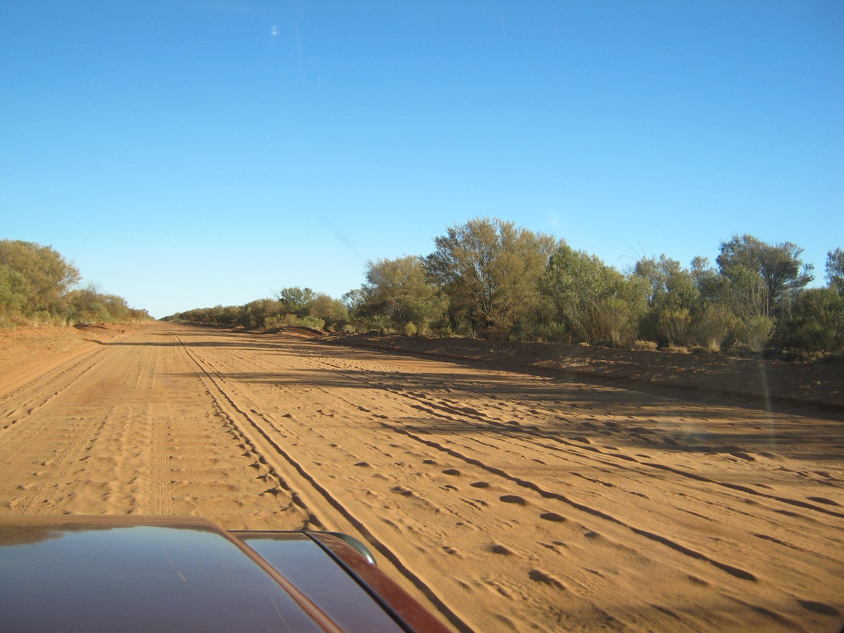
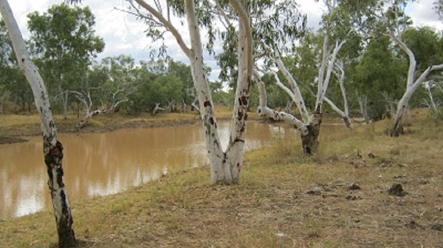
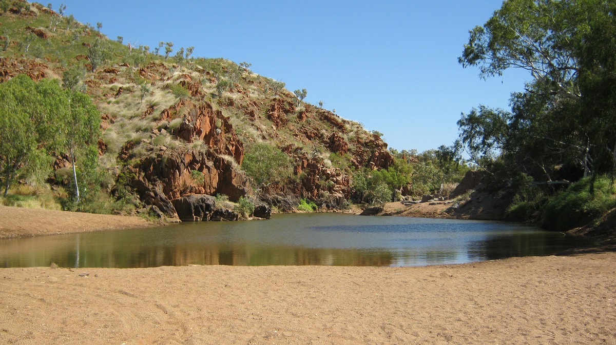
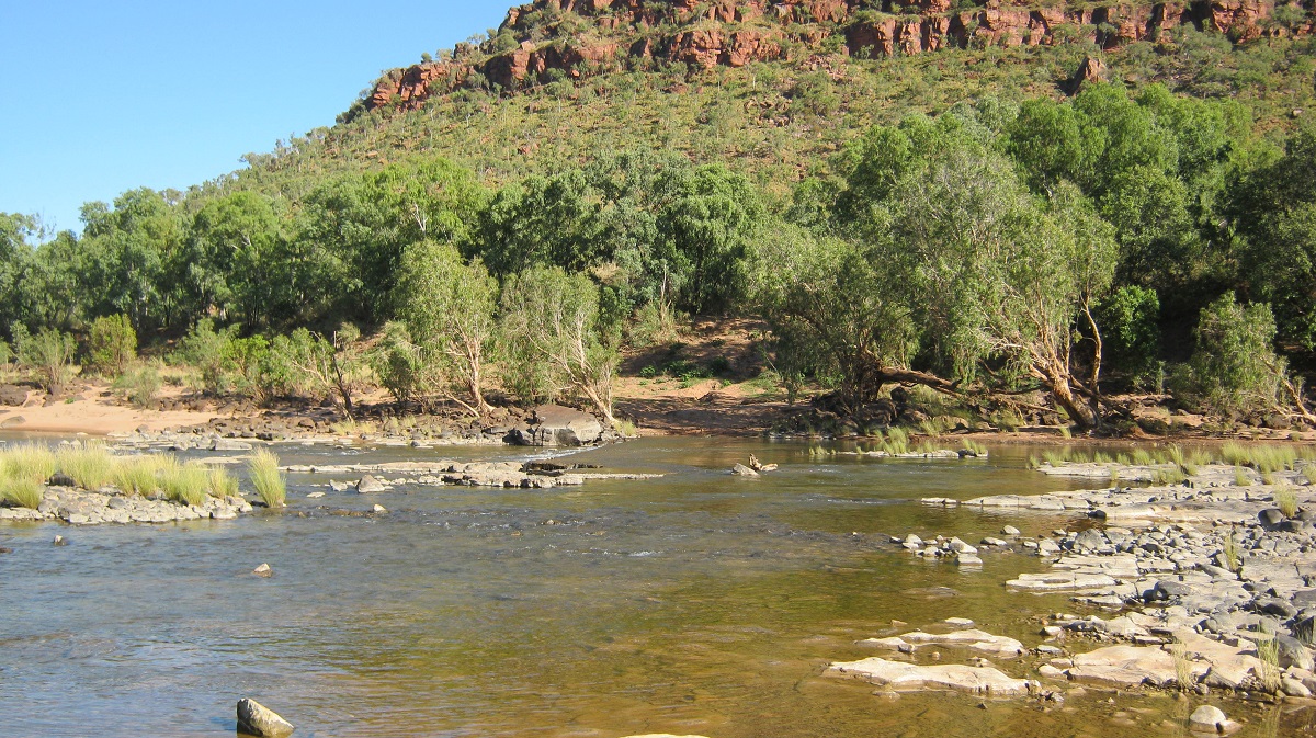
The expansive saltbush plains between Burra and Morgan soon sped by under an overcast sky. It was a cool day as if winter had already arrived. The old Nissan purred along at a steady 80kmh whilst others sped by in great haste. It wasn’t long before my passenger’s head started nodding off. Sleep however, was interrupted by the dog barking at a passing truck. The bakery at Morgan served up its usual treats which we enjoyed on the banks of the Murray River at the Morgan Ferry Crossing. Not long after this event and after chatting with other travellers we set up camp at the Cadell Camping Area a short distance from the Cadell Ferry.
Cadell Camp

Eco Billy
Today we tried out our new Eco-Billy which boils water within minutes by stuffing it’s inside cavity with twigs and dry leaves. We were most pleased with the result and enjoyed a cuppa.
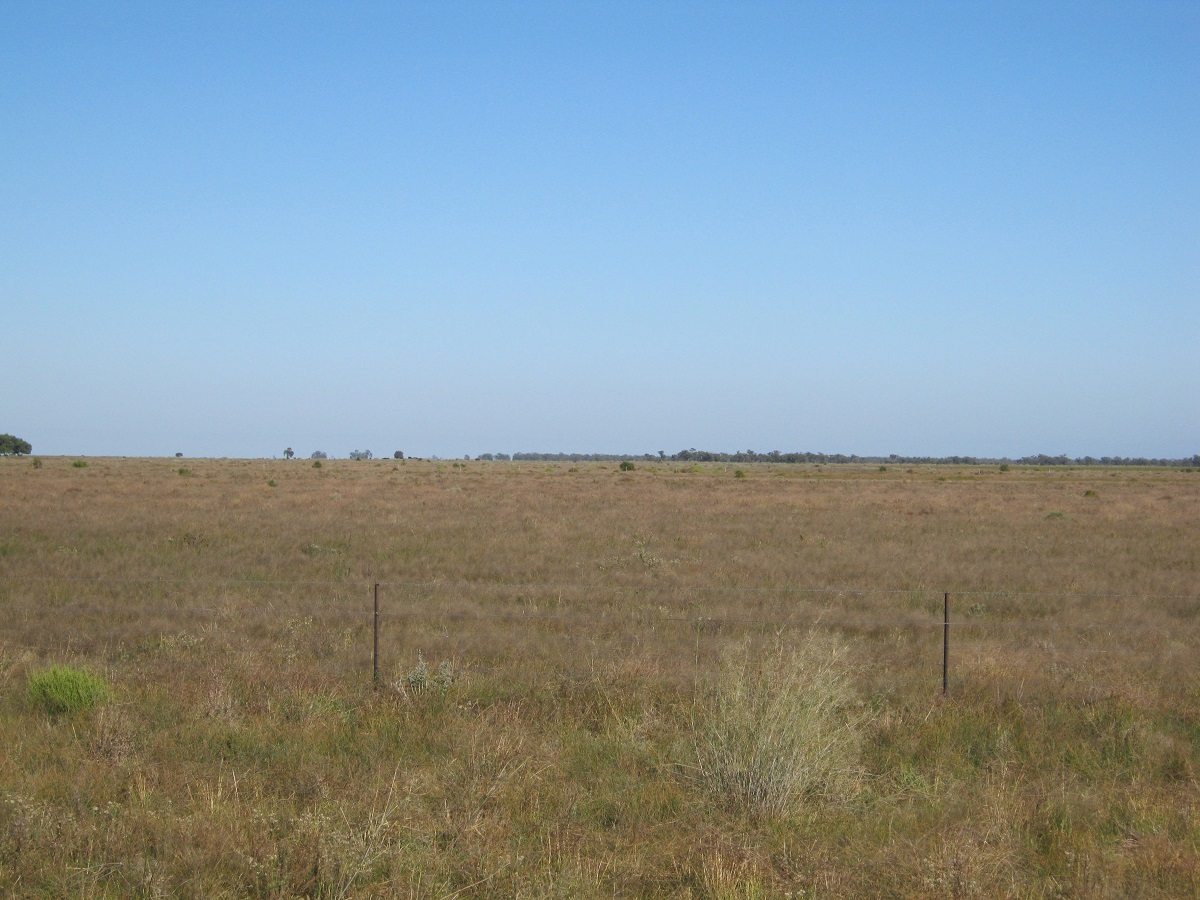
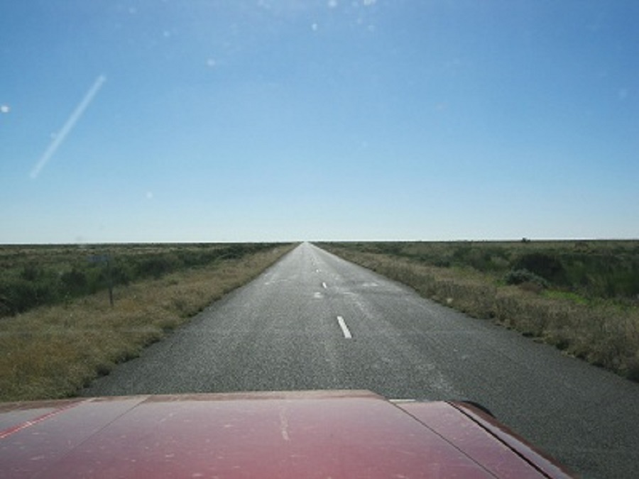
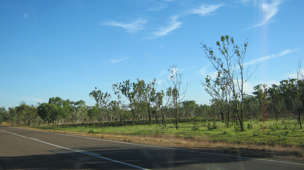
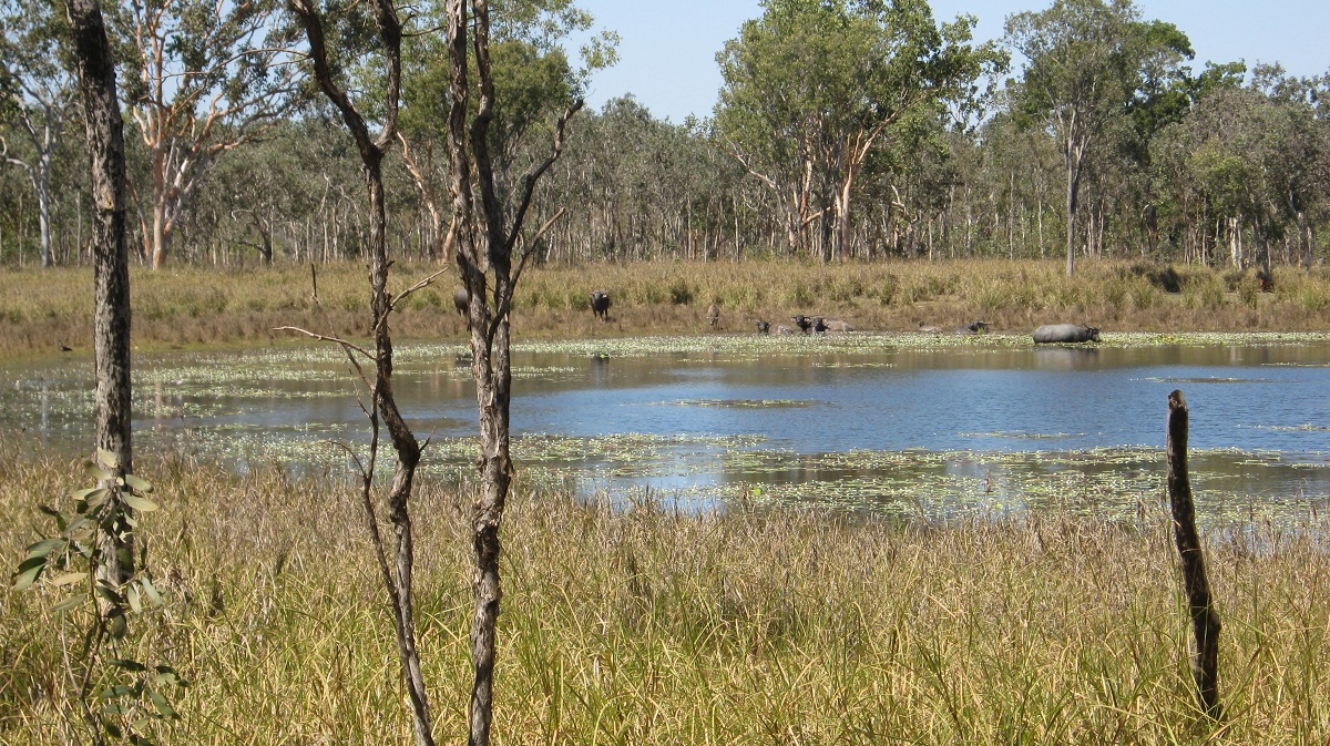
Heading in an easterly direction we passed by vast ploughed fields of potential wheat as they came to bear through the Mallee-lined roadway. We crossed the Murray River at Mildura and after we left the vineyards behind the vast expanse of the Hay Plains came in to view. As the road turns and twists across this plain one wonders why it was not built in a straight line. You may see the large B-double trucks approaching from a different angle almost as if they were coming along a side road. Wheat fields give way to cotton fields. This year the plains are still inundated with water after three exceptional years of rain and the once stark environment is now brimming with new growth, plant life, animals and insects. The Murrumbidgee River was running a banker when we crossed over at Hay and followed The Long Paddock trail.
Hay Plains

Sunset Garden
The Long Paddock
The Long Paddock stretches from Moama in the south to Wilcannia in the mid-north of the state. You may read of it here http://stockroutes.info/story-and-song/20-long-paddock.html Not long after leaving town we came across the Sunset Viewing area. Although we had arrived at the wrong time of the day we could well imagine what a sunset would look like here. The road north reminded us again of the famous line of the Banjo Patterson Poem ‘Clancy of the Overflow’ where he describes the sunlit plain extended.
CLANCY OF THE OVERFLOW
A.B. (Banjo) Paterson
I had written him a letter which I had, for want of better
Knowledge, sent to where I met him down the Lachlan years ago;
He was shearing when I knew him, so I sent the letter to him,
Just on spec, addressed as follows, “Clancy, of The Overflow.”
And an answer came directed in a writing unexpected
(And I think the same was written with a thumb-nail dipped in tar);
‘Twas his shearing mate who wrote it, and verbatim I will quote it:
“Clancy’s gone to Queensland droving, and we don’t know where he are.”
In my wild erratic fancy, visions come to me of Clancy
Gone a-droving “down the Cooper” where the Western drovers go;
As the stock are slowly stringing, Clancy rides behind them singing,
For the drover’s life has pleasures that the townsfolk never know.
And the bush has friends to meet him, and their kindly voices greet him
In the murmur of the breezes and the river on its bars,
And he sees the vision splendid of the sunlit plain extended,
And at night the wondrous glory of the everlasting stars.
I am sitting in my dingy little office, where a stingy
Ray of sunlight struggles feebly down between the houses tall,
And the foetid air and gritty of the dusty, dirty city,
Through the open window floating, spreads it foulness over all.
And in place of lowing cattle, I can hear the fiendish rattle
Of the tramways and the buses making hurry down the street;
And the language uninviting of the gutter children fighting
Comes fitfully and faintly through the ceaseless tramp of feet.
And the hurrying people daunt me,and their pallid faces haunt me
As they shoulder one another in their rush and nervous haste,
With their eager eyes and greedy, and their stunted forms and weedy,
For townsfolk have no time to grow, they have no time to waste.
And I somehow rather fancy that I’d like to change with Clancy,
Like to take a turn at droving where the seasons come and go,
While he faced the round eternal of the cash-book and the journal
But I doubt he’ll suit the office, Clancy, of The Overflow
It was so to us on this day and we got a feeling of well-being driving through the country after good summer rains. The greenness was almost overbearing. Water was ponded on the side of the road giving habitat to a variety of bird-life. At One Tree Hotel we saw a group of pelicans at a waterhole on the plains. This good season must be close to the same one that came about in 1875 when a Teamster and his friends got their wagons bogged close-by. For three months they ate Kangroo and Damper before the countryside dried out enough to let them move on.
At Booligal we took the road east to Hillston and we flanked the Lachlan River all of the way there and beyond to Lake Cargelligo.

Road to Hillston
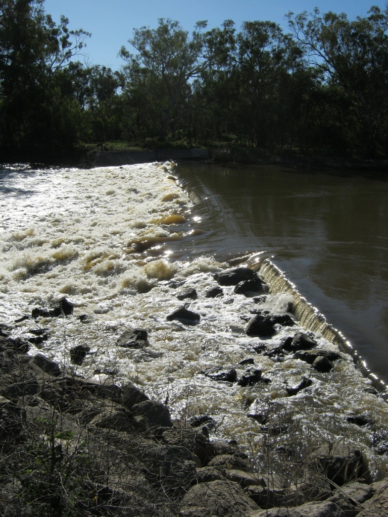
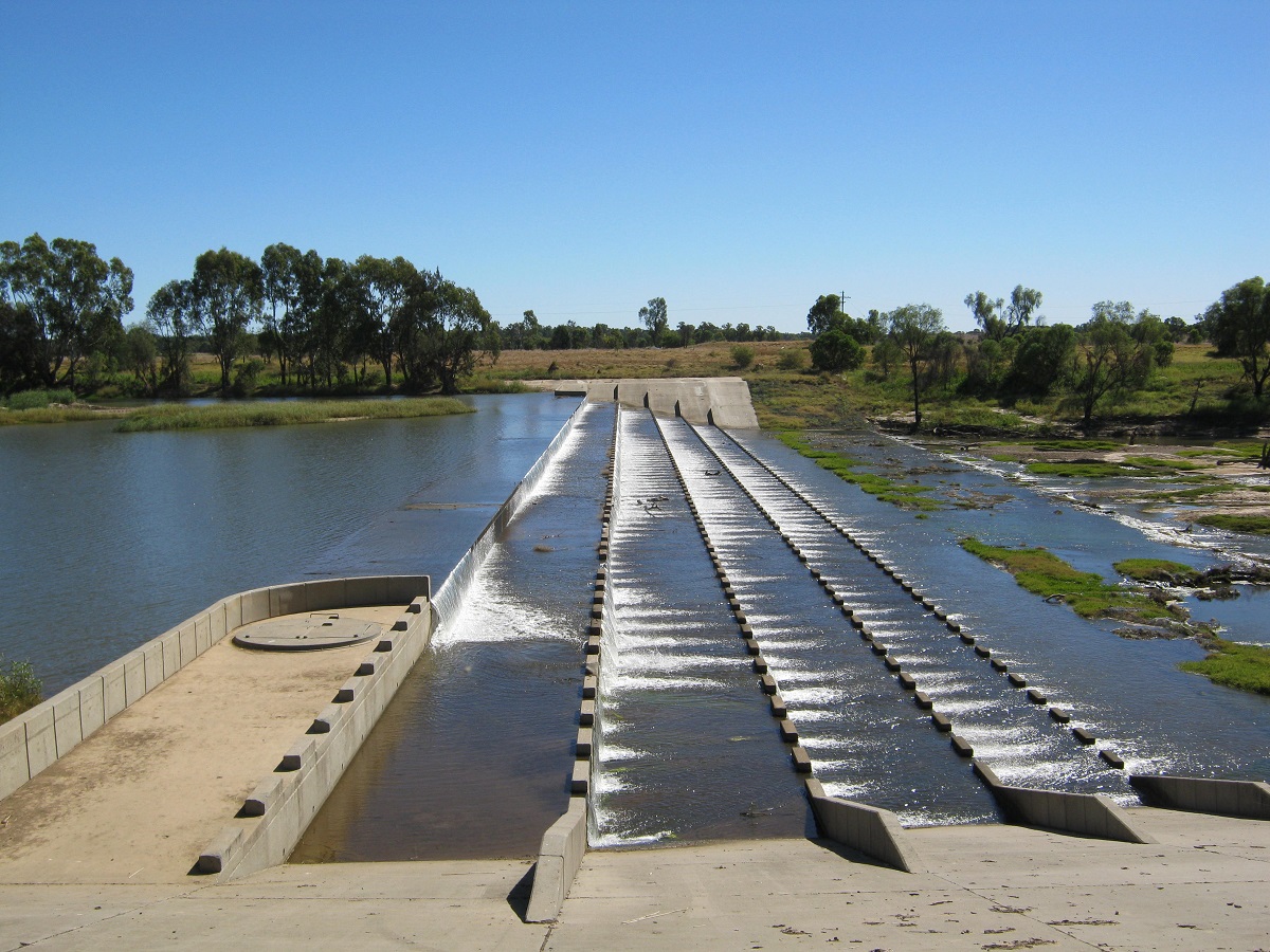
The gravel roads necessitated slower driving and we were able to see a variety of birdlife and especially Pelicans, Straw-necked Ibis, Kurrawongs, Cockatiels and a variety of ducks along the way. Desert Seagulls (Crows), Kestrels, Kites and Falcons were having a feed on the growing insect population. We passed by Cowl Cowl Station, a large enterprise in modern day farming utilising irrigation water from the Lachlan River and deep, fresh water aquifers, Cowl Cowl Station produces wheat, corn, beans, chickpeas, barley, canola and cotton as well as wine grapes, goat meat and cashmere. Taking the gravel road from Lake Cargelligo to Condobolin via Lake Cargelligo Weir was an experience within itself. At the weir we saw a man-made fish escape route built as a tunnel for fish to be able to swim upstream in a tunnel which takes them past the weir overflow.
More gravel road prevailed for a while until we found an alternative route over on the north side of the river which had been sealed. We arrived at Condobolin about an hour before sunset which gave us time to wind down from the day’s drive.

The weir had a steady stream over the spillway and it gave a soothing backdrop sound. Early morning however and a swarm of Galahs woke us up with their chattering. It was also colder than expected and we broke out our sleeping bags for the following nights. We drove a back road to Trundle of TV series Country Town Rescue fame.
Trundle must have the widest Main Street in Australia!

Trundle Main Street
We drove on to Bogan Gate and Parkes and once there struggled to find parking just to go to the toilet. The next leg for the day’s journey was a pleasant drive to Wellington where we visited the Japanese Gardens
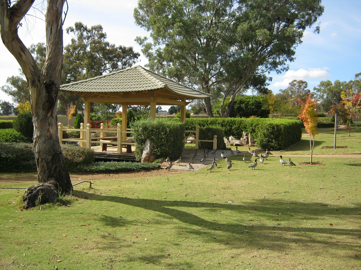
Japanese Gardens
Japanese Gardens at Wellington
and eventually Gulgong where we stopped at the Showgrounds for the night. A Picture Postcard drive today and the weather stayed fresh!! Amenities were a bit ordinary at the Showgrounds but for a cost of $14 for the night it was acceptable. Gulgong is an interesting little town with a Henry Lawson Museum and an Opera House, no less. The streets are quite narrow and with cars parked on either side of the road there is only really space for one way traffic. This time, however, we were on a mission to another destination but Gulgong will be a definite prospect for a revisit, probably in the warmer months. The mist hung thick ion the valleys as we made our way past the Ulan Coalmine and then on to Merriwa where merino sheep are the mainstay of the community’s existence. We bought some brekkie and had it under the shade of the trees just out of town. Merriwa to Scone is an equally scenic drive over undulating hills. Scone is a farming area and is particularly noted for breeding thoroughbred racehorses, and is regarded as the Horse Capital of Australia.
After making enquires at Merriwa and Scone we decided to tackle the back-roads to Gloucester via the Tomalle and Pheasant Roads over Barrington Tops Forest Reserve. We had a look around Moonan Flat, on the banks of the Upper Hunter River and the quaint Victoria Hotel made mostly of corrugated iron, beckons many a visitor.

Crossing the Hunter River
The old and the new crossing the Hunter
The gravel road skirted around the hills at first but after a while it became a long steep climb along a very narrow and winding road which led us up to 1400 metres above sea level through a variety of flora landscapes.
Climbing Barrington Tops
It was a spectacular drive and I needed to use 2nd gear in low range to lug the little van over the top. The gravel roads were a tad rough in places but manageable. We saw a Lyrebird and a large Goanna and some Parrots in our journey. After 150km and four hours of travel time we arrived at a friends place in Gloucester where we stayed for the night.
It was a very long uphill drive between Gloucester and Walcha as we meandered our way up and on to the Great Dividing Range once again. We got stuck behind two b-double cattle trucks and our median speed was 13kmh in low range. This gave us time to view the scenery as it slowly dropped away below us. Later in the afternoon we came to Glen Innes where we overnighted for two nights.
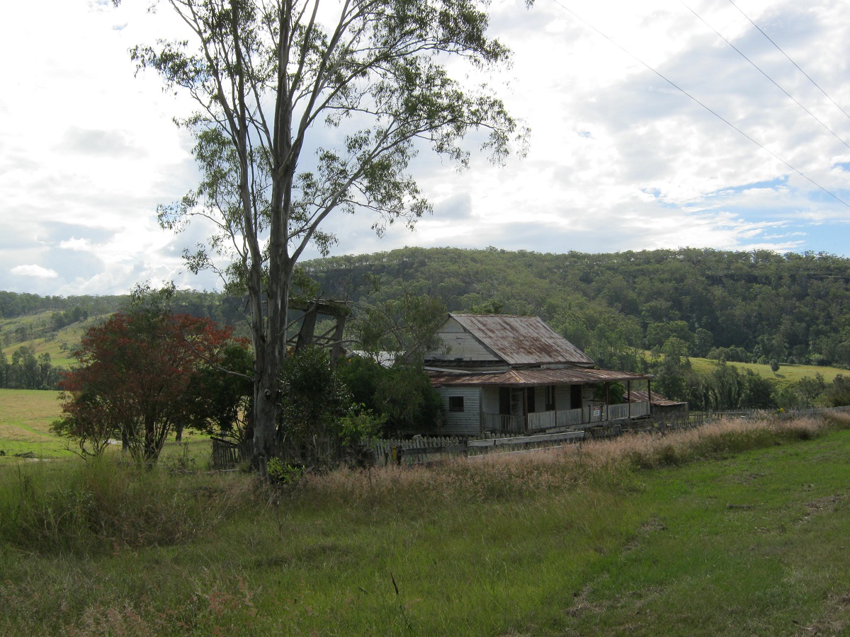
I had read about the old Glen Innes-Grafton Road, some years before, and was determined to have a look at it at last. The road which followed along where bullock drays had made their way in the 1840’s, was opened in 1867 and hailed as an engineering feat of that era. It linked the New England towns to the coast and was 180km in length. It descends from the high of the Great Dividing Range more than 1000 metres along a sometimes narrow track which has 40km of cuttings and a 20 metre hand-cut tunnel. Work on the tunnel was performed by convict labour. A number of towns sprang up during the gold-rush years. Towns such as Mann River, Newton Boyd, Dalmorton and Buccarumbi supported a population of over 20,000. Known as the Big River Country, five rivers flow through this area. They are the Mann, Nymboidia, Henry, Boyd and Orara cut through this area. It was an overcast and cold day when we started our outing but the clouds soon dispersed as we dropped down into the valleys below to bring out bright sunshine and a beautiful day. We bought Anzac Stringybark Honey at a farm near Newton Boyd where a memorial tells the sad tale of how 30 men from the immediate area enlisted to serve in World War 1 and only one returned. As gold petered out farming and timbermen filled the district, the hordes of people left the districts and peace a quiet returned to the valleys. Only rusted timber and iron shacks remain of the once booming towns.
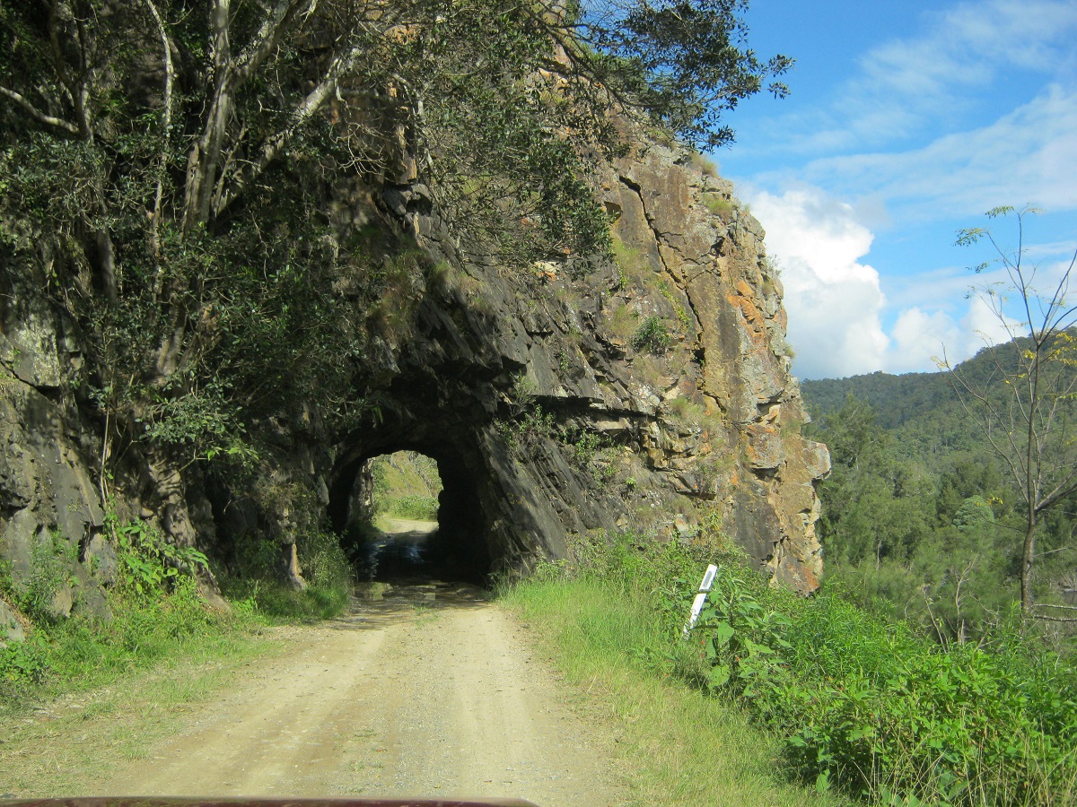
The Old Glen Innes-Grafton Road
We had lunch at Dalmorton on the banks of the river and eventually made the drive back to the Gwydir Highway that links Glen Innes to Grafton these days. Then the long climb up the range began and once firmly in the Gibraltar Range and up and along the twisting road to the top of the mountains, the heavens closed up again and we drove through a hard downpour of rain before arriving back at Glen Innes and a cold environment. Our destination the following day was to make for Tweed Heads via Tenterfield, Casino, Lismore and the Freeway, where we attended to family matters for a week.
Rusted Old House
The busy city life on the Gold Coast always amazes us and though we did live there at once stage of our lives, the modern pace is far too fast for usnow. Saying that though, we were stuck in a Freeway Traffic Jam on the way out to the Hinterland for an hour before prising ourselves free at Nerang to depart the rush and then made our way to Canungra, Beaudesert, Rosewood, Marburg and environs to visit friends, who live on the slopes of Mount Stradbroke, not far from Lowood. Low range gears were once again used to drag the little van up the steep incline.

Traffic Jam
The last climb up and over the Great Dividing Range was from Esk to Hampton and we managed that without too much trouble. This day saw us drop in for a morning cuppa with friends at Goombungee and again in the afternoon at Chinchilla.
At Miles we stopped to collect some firewood off the side of the railway line and I used my trusty old Bowie Knife to cut a length of rope to tie the wood together. Some 7km out of Miles I realised that I had left the knife on the rear spare wheel and ofcourse it was now nowhere to be seen. We retraced our steps but had no luck in finding it. I had that knife for nearly 40 years!! Such is a senior moment.
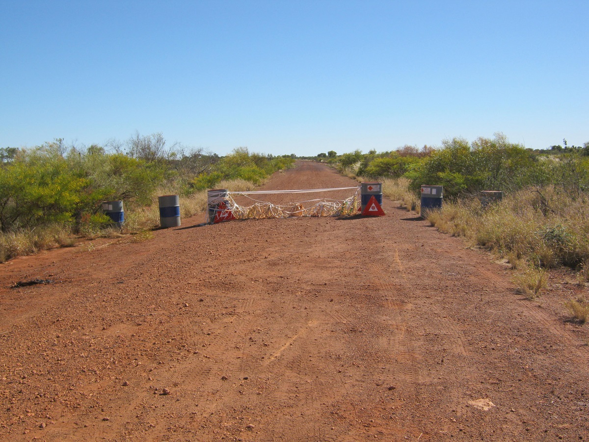
We were making for Judds Lagoon, a favourite camp place for us, but when we got there, just on dark, we found that it had been ‘discovered’ by grey nomads and no less than 15 other campers, many running noisy generators to power their satellite dishes. We opted for a quiet place some distance away and down a bush-track in the long grass. We had driven too far for the day but soon relaxed outside whilst chewing over the days’ events with a glass or two of refreshment. The next day was going to be a long day too. There were road-works in progress for the 60km from Yuleba to Roma and we were frequently stopped by Lollipop Men (and women) with their STOP/SLOW signs. Most of them waved at us and we commented that they must all have known that today, 14th May, was Judith’s Birthday! We had planned to stop over at Mitchell to enjoy some time in the Artesian Spa but it was still closed for renovations after the devastating floods at the end of 2011.
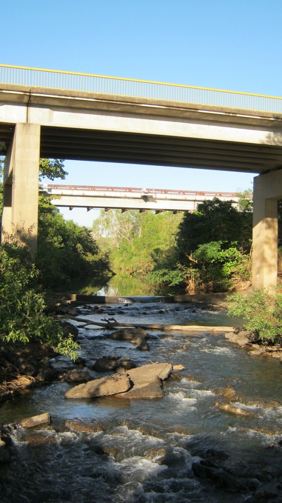
Neil Turner Weir
Neil Turner Weir at Mitchell
The town and normally popular camping area at Neil Turner Weir was virtually deserted and so we pushed on and another longer drive ensued, which took us to a lovely spot on the Wade River about 20km west of Charleville. Our campsite was right on the river. Two resident Wood Ducks, lived, no less that 10 metres from us, and we made sure that we did not disturb them. Our solar panels came out and we settled down for the rest of the day and the following to enjoy a good campsite and some campfire cooking
Wade River Camp
Nearly Tucker Time
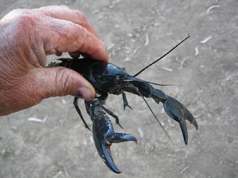
Life and death on the river: Out of the clear blue skies a Whistling Kite appeared and circled our camp in a low sweep. He perched on a tree branch on the opposite side of the river ruffling his splendid brown, gold and white feathers back into order. It wasn’t long before the kite dropped down to the surface of the river and scraped the water with his claws but powered back up to his perch empty handed. He peered to the water and made a second and then a third attempt. On the last he snagged a small fish and took off flapping his wings in a relaxed manner. Within a few seconds we heard the whistling sounds overhead, made by the wings of a crow, as this carrion eater and opportunist hunter swooped down on the kite and harried him to give up his catch. The crow’s mate followed at a short distance behind and the entourage disappeared down the river and out of sight. We could only but wonder what the end result of this escapade might have been. Death to the fish. We had thrown the Yabbie Trap out in to the river but after nearly 24 hours had only caught one Blue-claw Yabbie and three Freshwater Prawns. So we returned them to their river. Life, to the Yabbie, and to the Prawns. Meanwhile the ducks grazed peacefully in the mud on the banks of the river with seemingly no care in the world.
A chilly morning greeted us the following day and the ice lay thick on the 4×4.
At Quilpie we did some shopping, refuelling and other menial tasks and went on to the Town Common where I did a messy engine oil change on the Datto, whilst Jude rigged up a temporary washing line and dried the clothes that we had run through the washing machine at the Caravan Park. Heading Northwest from Quilpie towards Windorah we wanted to camp on a billabong next to Thylungra Station but it looked unexciting and so we pushed on for short while further and found a prickle-free road-works quarry, where we camped for the night. The road was quiet and the dried out Mulga and Gidgee wood provided a hot fire to warm our souls until we turned in for the night.
Thylungra Station was the first property acquired by Patsy Durack. He was immortalised in the book by Mary Durack…’Kings in Grass Castles’. The Duracks, Costellos and Nat Buchanan were responsible for opening up pastoral lands in the Kimberley region of Western Australia. The scenery in this area certainly lends its name to grass castles as the Mitchell Grass forms a beige sea across the plains supporting sheep and cattle and human endeavour.
Along the way to Windorah we saw flocks of Budgies, Cockatiels, Brolgas and isolated Emus. Wedge-tail Eagles and Crows fed on road-kill kangaroos. Other Red kangaroos sat grazing in the sun close-by to the road. We also came across three adult feral pigs guarding eight piglets, who were willing to pose for a photo. We crossed Cooper’s Creek at the start of the Channel Country. At the crossing there were a number of campers spread out along the riverbanks. At Windorah we visited the Information Centre where we viewed a photograph of a Freshwater Crocodile which was caught at a waterhole in Coopers Creek in 1992. The crocodile was taken to the Queensland Museum for further scientific studies. It is a mystery on how this crocodile managed to get so far inland as the place it was caught is close to 1000km from either the Gulf of Carpentaria or the North East Queensland Coast where these animals are found.
Coopers Creek
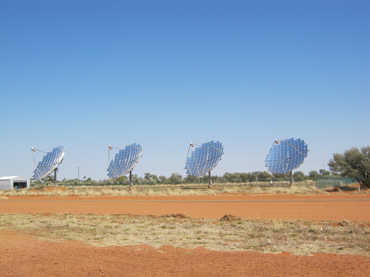
Windorah Solar
Windorah is also known for its power generating solar collectors. The big wide sealed road took us north from there to Jundah and later Stonehenge. Jundah is the administrative centre of the Barcoo Shire which includes the towns of Windorah, Jundah, Stonehenge. We were told that every resident who was capable of working and doing a job was employed and that there were no unemployed persons in town. We had lunch atop the Swanvale Jump-up where fantastic, wide views, of the surrounding countryside, helps one to get a feel of this land made up of mulga scrub and Mitchell grass plains with the Thomson River meandering its way across the plains providing water and feed for herbivores and the food chain of lesser sized animals and including an oversupply of feral pigs.
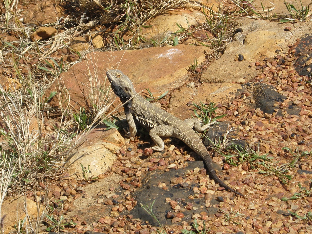
Bearded Dragon
We had made our way back to Stonehenge as I had wanted to drive a track which was advertised depicting the essence of the country. Unfortunately the road was under repair after recent heavy rains and was out of reach. We stayed in the small caravan park in the middle of town for the night and did some ongoing vehicle maintenance jobs and had a lazy afternoon.
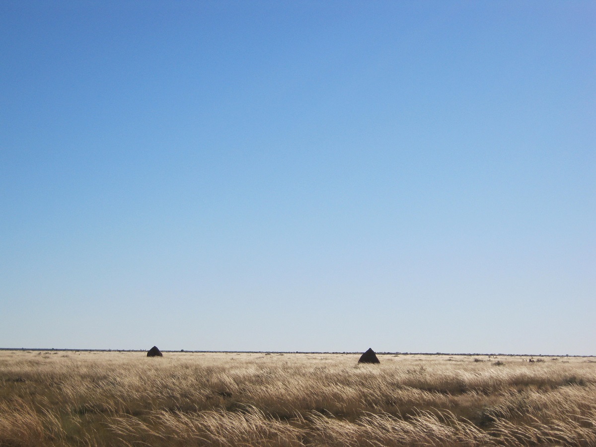
The local Galah and Corella residents of Stonehenge started their chatting at 5.45am. I took Jeddah for an early morning walk with the light of the new day slowly emerging above the tree line on the horizon. The moon hung like a coolamon in the sky. Today the journey takes us along the back-roads to Winton and being a gravel roads I dropped the tyre pressures for the 4×4 and the van down to 24psi. I also do not drive faster than 70kmh. This has worked for me in the past so we will see how we go.

Sunlit Plains
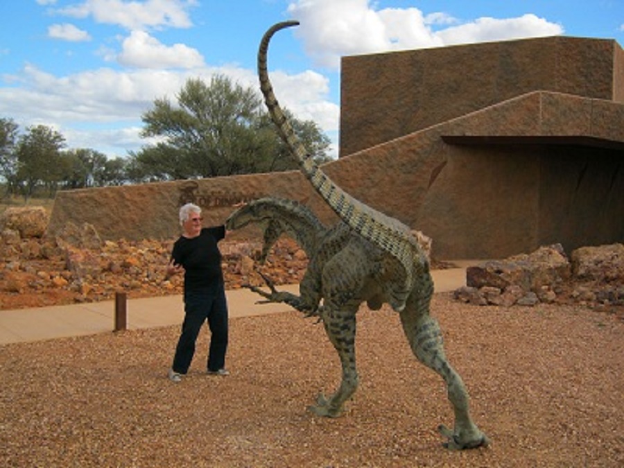
It was a long drive. My passenger was doped after waking up crook today and saw little of the journey after I had administered some mooty. The never-ending plains eventually gave way to some isolated hills and after that it was mainly mulga thicket over a long flat plateau which eventually dropped down towards the Winton Plains. Saw the first vehicle for the day after 140km and that was it! The road within the Barcoo Shire was in very good condition. Once into the Winton Shire it deteriorated markedly and care had to be taken especially when driving through ‘blind’ dips. Near Lark Quarry road-works were taking place and about 35km out from Winton we made it to the sealed road. We drove out to the Australian Age of Dinosaurs Complex 24km out of town on the Longreach road. We are members of this organisation and wanted to see the new complex which had its opening in 2011. It is impressive. Back in Winton we refuelled and bought some necessary stuff and then set up camp at Long Waterhole for the night.
It was another long drive to Cloncurry and close-by iconic places such as Combo Waterhole and the McKinley Pub. The old bloke who used have the Waltzing Matilda Tent sideshow at Kynuna, passed away a few years back and now there is only Blue Heeler Hotel left to attract visitors. Due to the big rains of the past few years the plains grasses had grown with vigour. Then it dried off and then the winds have blown it on to the roadside fences creating a natural art.
Sunset at Winton
We opted for a caravan park stay at ‘The Curry’ and the next day took the long way to Mount Isa driving gravel roads with twists and turns and washouts, just to see what the town of Duchess looked like. There isn’t much left of the once booming mining town. Mines were now scattered around it throughout the hills but their operations are more specific and profitable. The publican of the Duchess Hotel, when asked how he survived, told us that he supplied four mines with alcohol for their canteens and that the turnover was quite a good earner.
Kynuna Grass Fence
Woolly Wallaby
At Mt Isa we spent two nights in the Sunset Caravan Park and found the last available site there. The site was not used much as it was difficult to get access to it as it is wedged in at the back of the park between a permanent resident and a large tree, but as our van is quite small in comparison to most vans these days we fitted in like a glove. Having not been to Mt Isa for many years we looked up so old haunts and some new ones too.
Mt Isa
t
A sign to anywhere
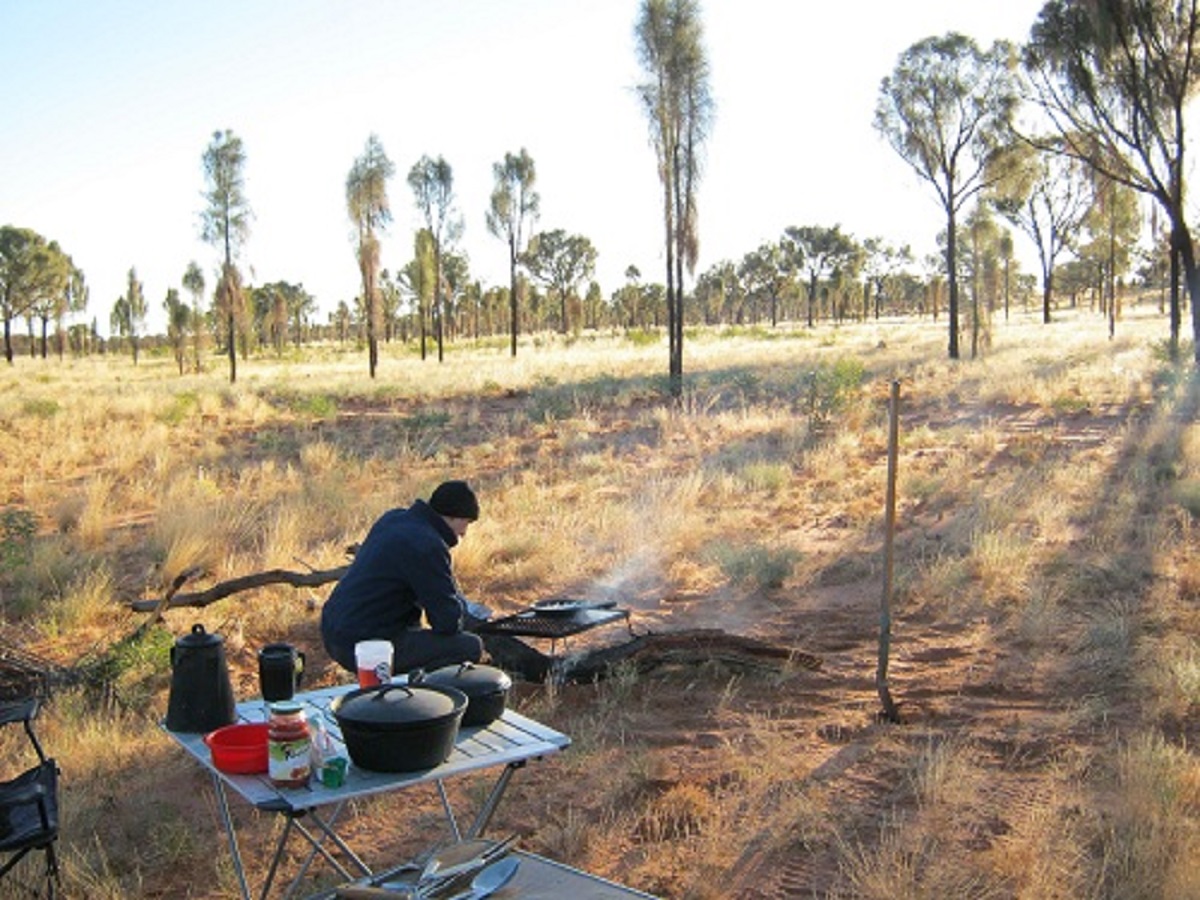
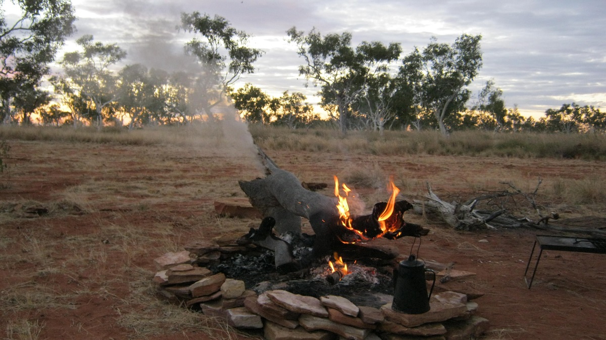
Still north of the Tropic of Capricorn the evening was mild and we cooked our food over a hot coal fire. The night was dead quiet with no breeze and no other sounds. All we could hear was our refrigerator cycling in and out.
Barkly Tableland
Day two on the Sandover and we were delighted by the antics of thousands of Budgerigars. They would fly across our path in flocks of five to a couple of hundred. In a flash of green, they would they twist and turn in their flight-path, joining up with another group to expand in size and then breaking off again to follow their own path.
A long way to go
Sandover Highway
Alalya Dreaming 2012
Cupping my hand to drink from the cool water of Alalya Waterhole was a thrill and a culmination of a 30 year dream. After previous attempts to reach it had not eventuated, I was finally here in this very remote place on the edge of the Great Sandy Desert.
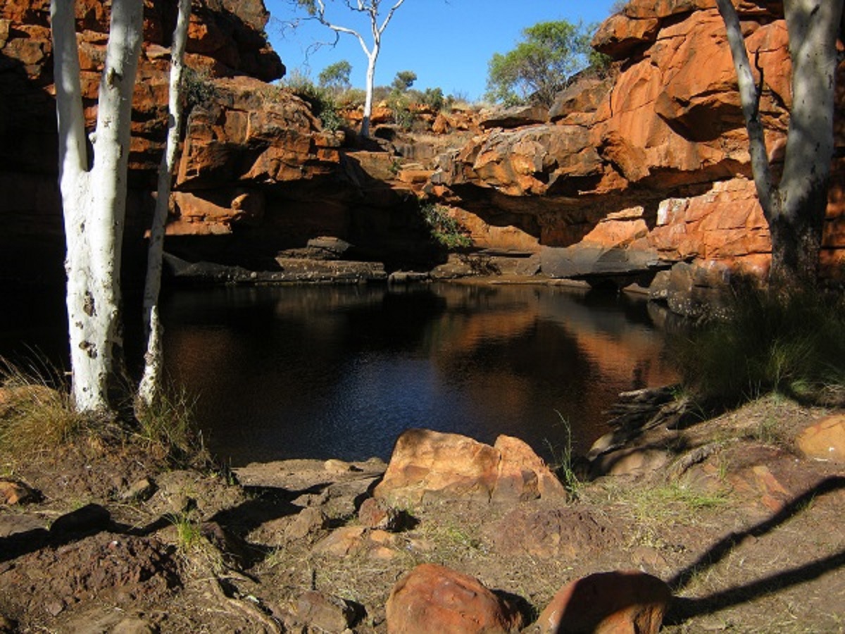
Alalya Rockhole
Accompanied by my mate, Bill, from Alice Springs, and with personal permission from the Ikuntji Language Group Traditional Owner and Custodian of Alalya Rockhole, to access his lands, a personal journey for me was completed. It would have been different if I had come at an earlier time in my life as the walk in and out of this place taxed my deteriorating body severely, but, to my satisfaction, I have lived this part of my dream.
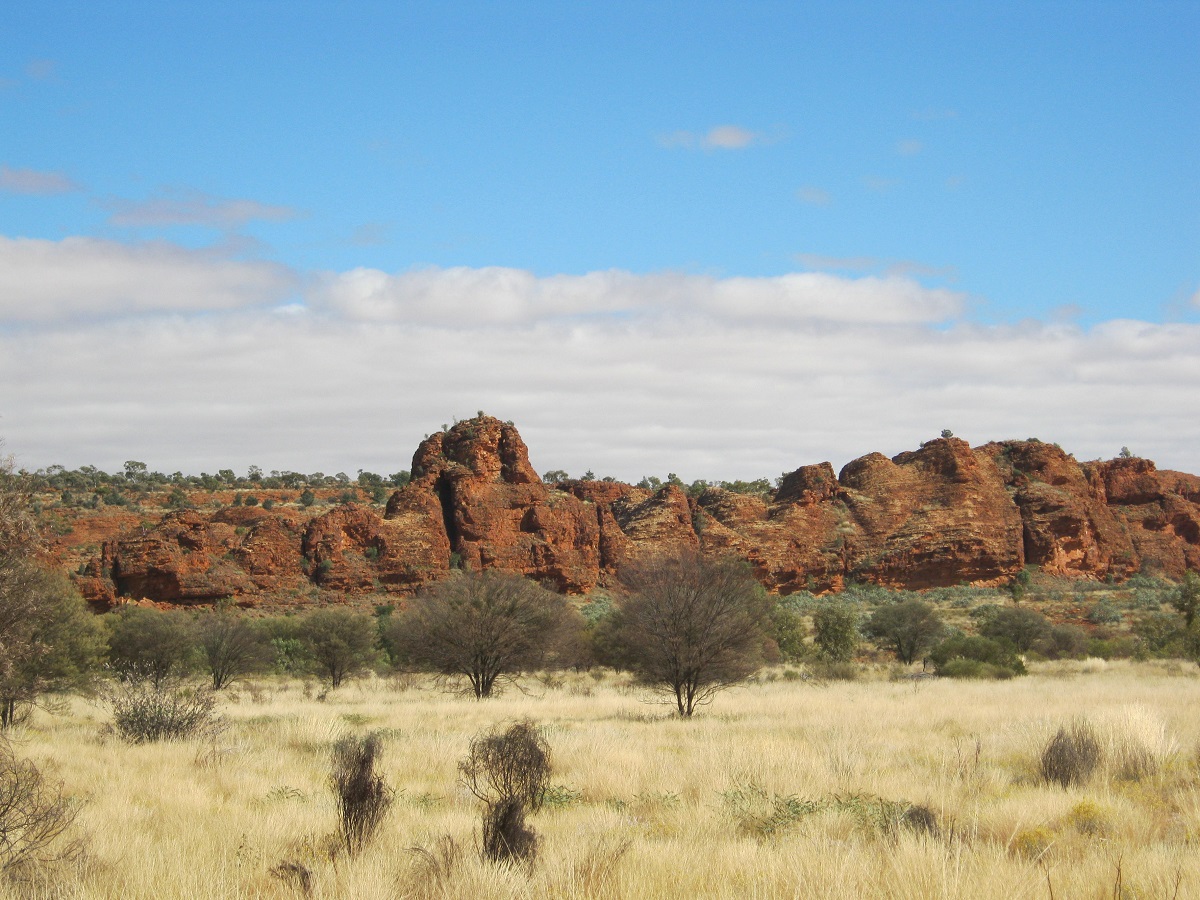
Always interested in faraway places and adventure expeditions, I had read all of the books written by Michael Terry. He had crossed many parts of the desert regions of Australia in the earlier part of the 20th Century by camel or by tracked vehicle. I had also visited some of the places he had visited. Michael Terry was sponsored by business interests in South Australia to look for minerals and suitable grazing country in the heart of Central Australia. He had written about his visit, in 1932, to this area and to a place he named Thomas Reservoir, in the Cleland Hills, and of the ancient and strange ‘faces’ petroglyphs which were depicted on the surrounding rock ledges.
************************************************************************************
We managed to prise ourselves away from Alice Springs at around 9.30am and pointed the 4×4 west. The trip to Hermannsburg was uneventful and I decided to refuel there since the fuel outlet was open and although I carried 100litres of additional diesel, it always pays to top the tank up when you can. The $2.20 per litre price tag for diesel was a bit of a shock especially when Hermannsburg is only 116km from Alice Springs and the price difference was 50c per litre! Nevertheless, we topped the tank up and took to the gravel road. After a short distance I thought that it would be better to drop the tyre pressures so as to make the ride as tad smoother. Out past the Areyonga Community turn off, we encountered European Tourists with a disabled Jeep Cherokee. It had broken its drive belt and they had no spare. Other travellers had offered to give messages to the relevant authorities and hopefully they will be rescued.
Once on the Deering Creek track past The Camels Hump and over the Mereenie to Darwin Gas Pipeline, we encountered corrugations for a short distance. We saw many wheel tracks which looked fresh in places but as we drove past the back road turnoffs to Tarawara Bore, Haasts Bluff and Mt Liebig, the tracks became infrequent. After Browns Bore, the track looked as if had hardly been used for a while. Today we saw lots of horses and three Bustards. We made camp in a cleared area about 60 kilometres from the Mereenie Loop Road and soon found enough fire wood. Bill slept out in the open while I opted to sleep in the back of the Datto. It was a long night and I could not get comfortable but eventually worked the best position out and it was plain sailing from then on. The coolish wind from the east had died down at sunset but sprang up again around 5am making Bill added another blanket to his bed. I rang Judith on the Satellite phone to report our position.
In the shadows of Desert Oaks
I came out here in 2006 to look for artefacts and rock art in the Mount Winter area of the Cleland Hills. At Puritjarra Rock Shelter there had been an Archaeological Dig some years prior and it was interesting to see such an ancient place. I had also envisaged getting to Thomas Reservoir to look for the ‘faces’ petroglyphs, but this did not happen due incorrect information obtained from a third party as to the whereabouts of these places.
Overgrown track
Spending hours in my study poring over maps and Google Earth still cannot give you an inkling of what conditions may be like on the ground and although I am used to the desert scape terrain, a drive, where few or no tracks exist, is always fraught with an element of the unknown.
Dune crest vista
In the morning we could not find the shot line/seismic track I had marked on my map. These seismic tracks were made in the late 1970’s and early 1980’s to facilitate seismic soundings in the search for oil and gas reserves hidden deep in the surface crust of the earth. I decided to push on to Muranji Rockhole in the Cleland Hills and then drive along the escarpment in the general direction of my destination.
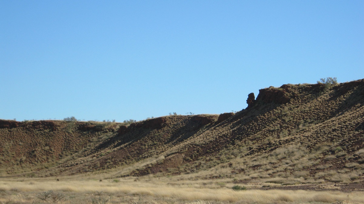
Cleland Hills
Muranji Rockhole
The rock hole had less water in it then when I had seen it last in 2006. Bill climbed up the rock-face to see if there were more water holes on the top of the escarpment but could not locate any.
We drove out from the hills to skirt around some creeks and then took a compass bearing cross country towards our destination. There were a few deep creeks, soft dunes and long grass to negotiate and after 8 kilometres of this the going became too rough and the foliage too dense for my liking, and so I turned back towards Muranji. We made our way back to the main track, had lunch and boiled the Billy for a cuppa tea and then I had a look at my mapping on my laptop to get a better idea of the terrain and better co-ordinates. After lunch we went searching and then finally found the elusive shot line.

Seismic track
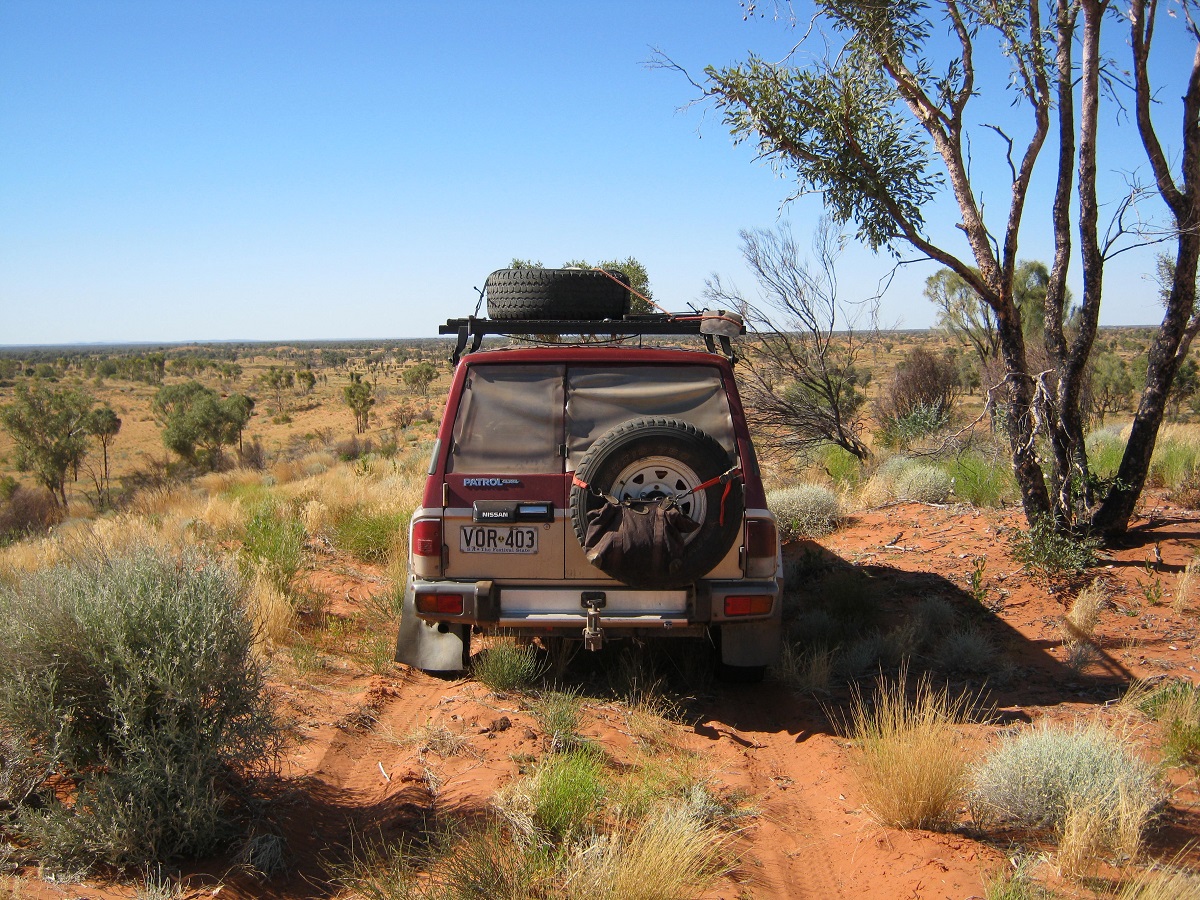
The old shot line/seismic track was very overgrown in places but it did make for easier running as compared to absolute cross country driving. The recent good rain years had grown the flora of the region and grasses were up to one and a half metres high in places. About 20 kilometres and about 30 sand-hills we came upon some other wheel tracks coming in from the south at a track marker. A little further along the same wheel tracks swung back to the south and in the general direction of our destination. Another traveller had been this way earlier in the year. I pressed on however and once we saw the profile of Mount Forbes to the south west, I swung the wheel in that direction and made for the gorge which cuts through the range near the tip of the Cleland Hills. We had driven 28 kilometres from the access track and about 4 kilometres in to the gorge.
Cross country
Negotiating the cross country bits always sends the stress levels into overdrive as one has to make split second decisions where to place the 4×4’s wheels. In open country where Desert Oaks, Corkwoods and Ghost Gums prevail the surface area tends to give up less dead wood. In Mulga or Gidgea forests you may rest assured that you will stake even the hardiest tyre that has been produced. The chosen route, swinging the 4×4 away from overgrown areas was a tad easier and soon we were driving right into the gorge after a few deep and dry creek crossings. The gorge was very rocky and offered no good campsite. After a short distance I turned back and we made camp at the mouth of the gorge. Soon a starry night with a half-moon just hanging there greeted us. A cold breeze sprang up from the east again, and, after feeding ourselves with good contents from our refrigerator, we turned in for the night.
It had been a hard days driving through very rough terrain but the old car had coped well and so did we. The countryside is absolutely magnificent with not another soul within at least 100km from us.

Gorge sunrise
Mount Forbes Mount Forbes Gorge sunrise
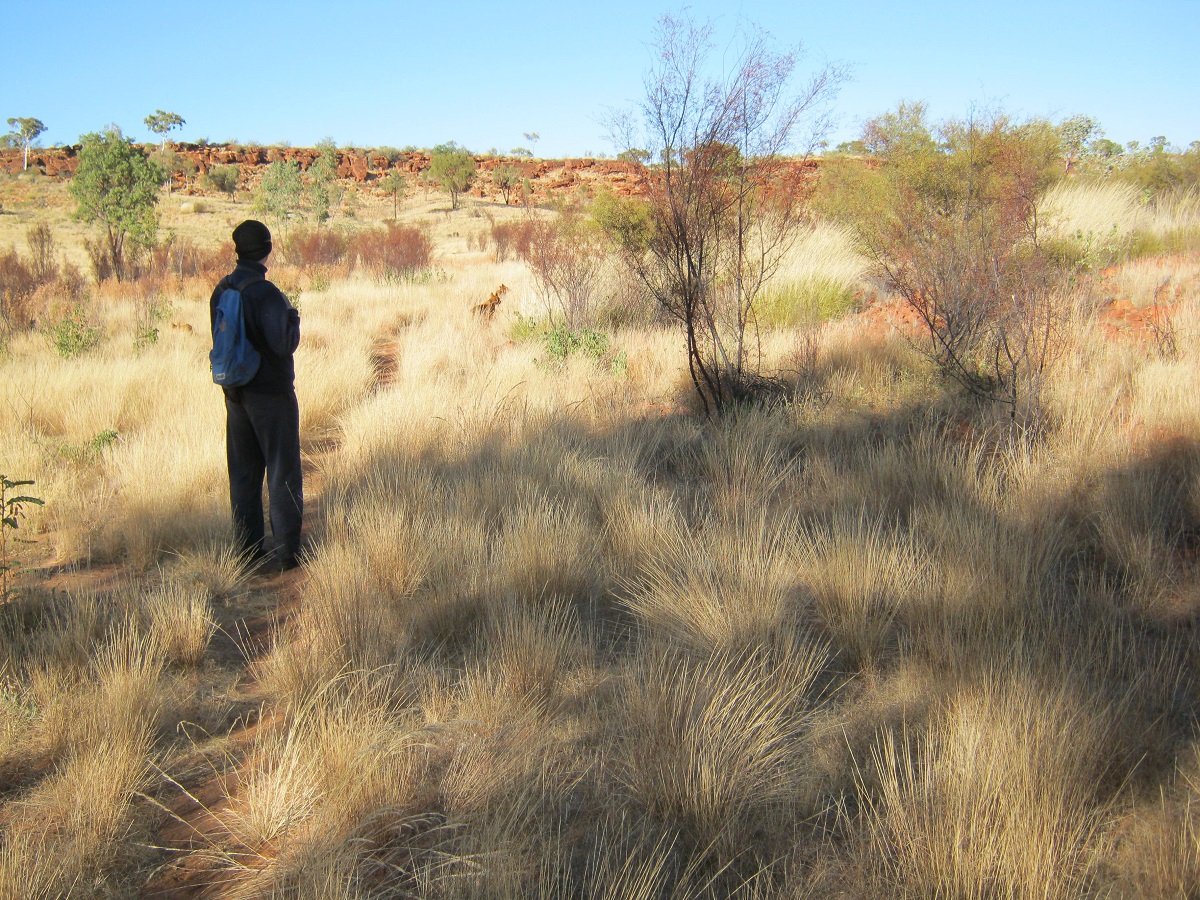
We were out of camp on foot by 8am and following a camel pad, which I was confident, would lead us to water. The little gorge to the east of Mount Forbes is about one kilometre in length. Bill was leading and I was hobbling behind with my walking staff in hand and carrying my .22 calibre rifle, just in case we had a close encounter with a bull camel. Bill would be agile enough to get out of the way but I would be at a disadvantage being in a partial disabled state! Suddenly Bill stopped, turned to me and indicated to be quiet by putting his finger to his lips. No less than 15 metres from us were four healthy looking Dingoes padding along the path towards us. They stopped when they saw us and then came forward about 5 metres. Then they got our scent, turned to heel and vanished into the undergrowth. I managed to get
one photo off.
Dingoes in the grass
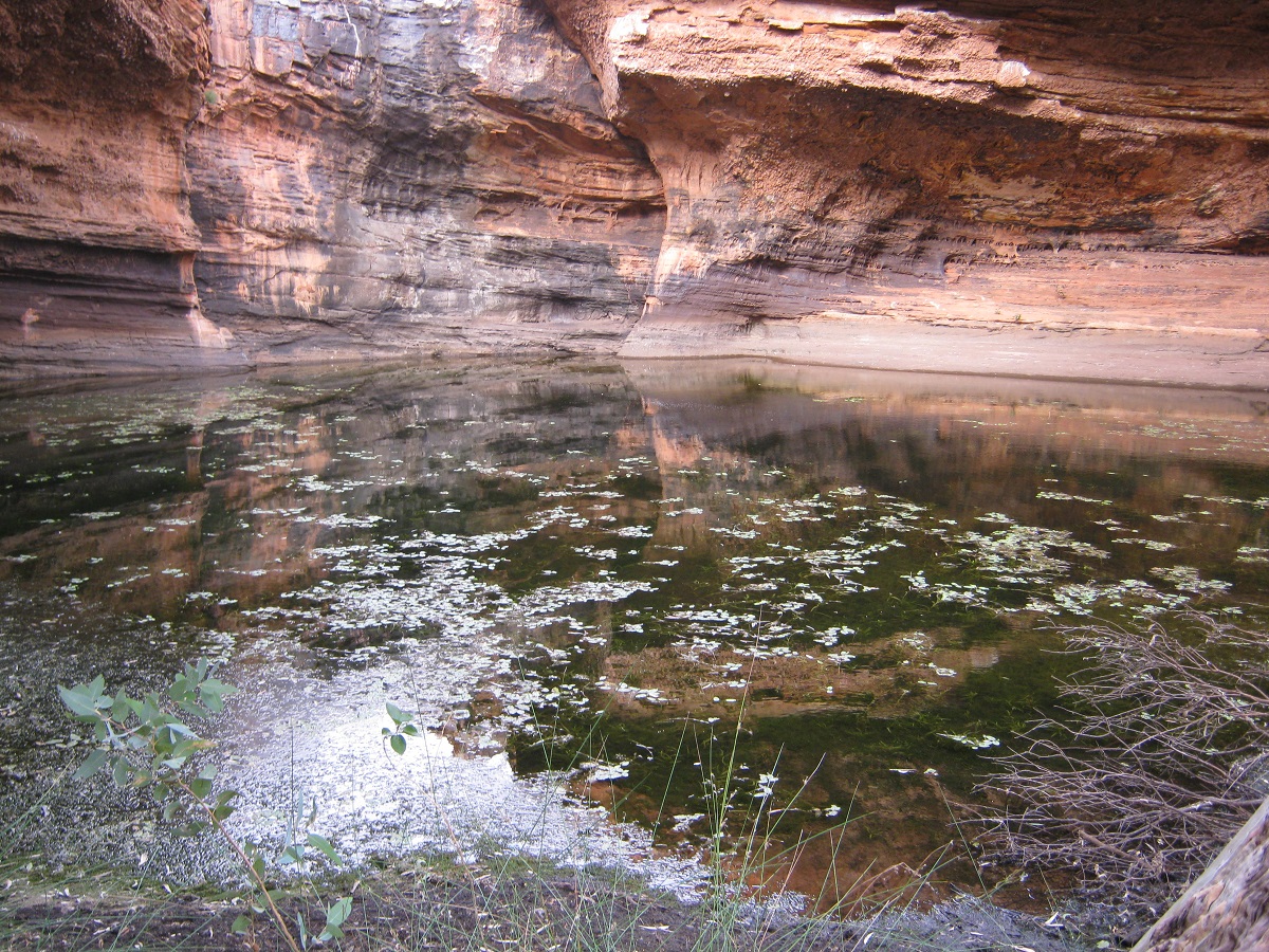
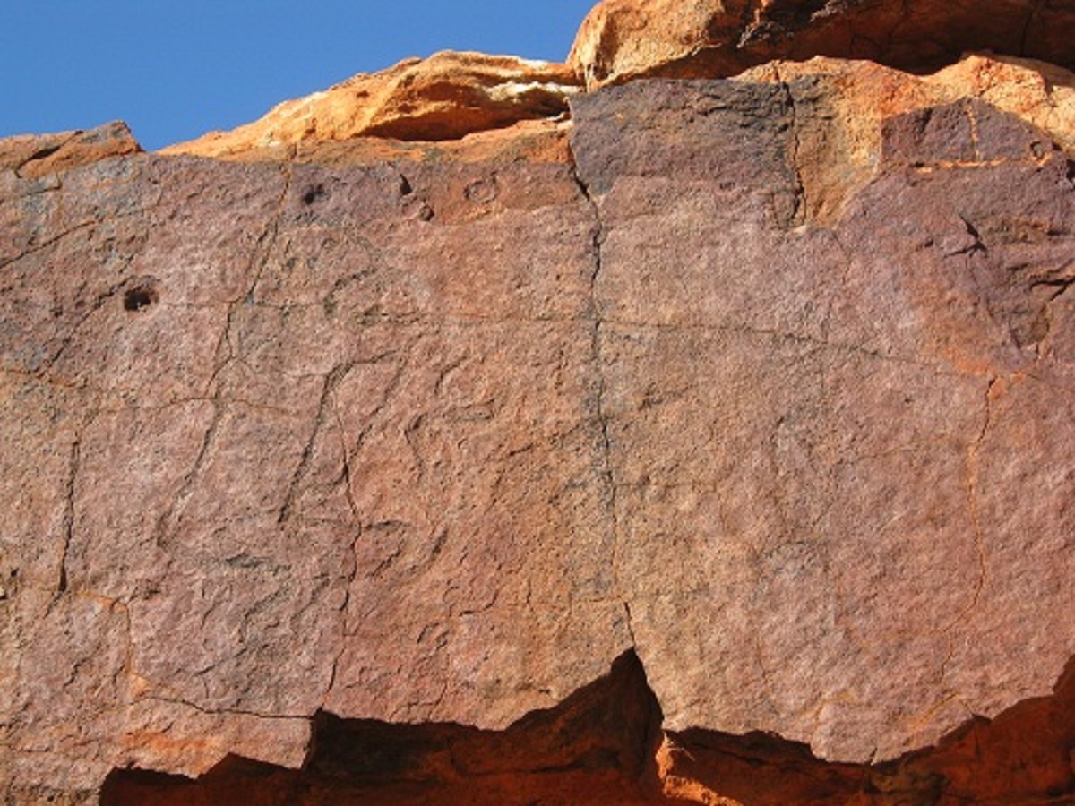
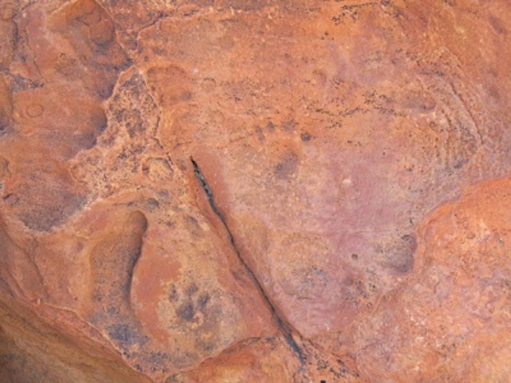
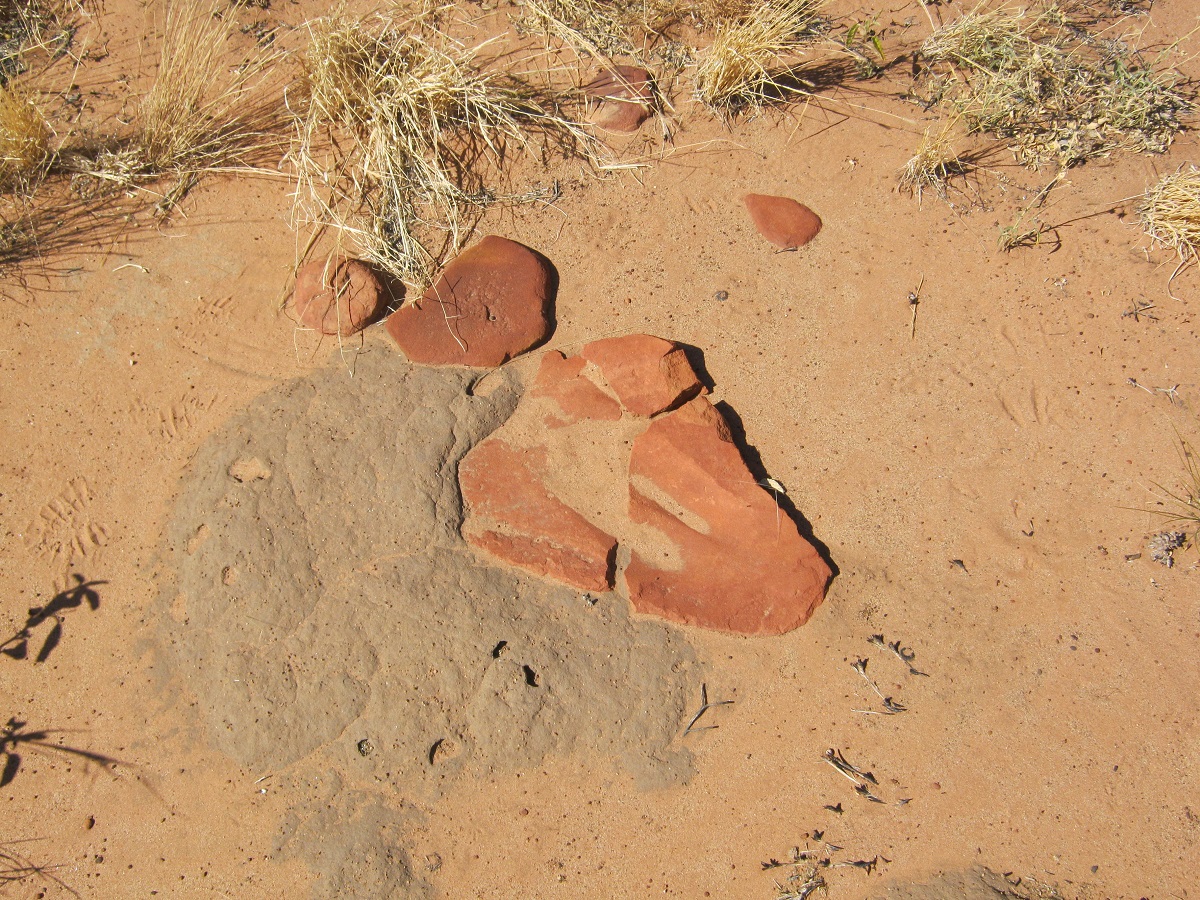
At the end of the gorge we turned to the left and had a look around the pound area for any sign of a pond. No such luck and not having the exact co-ordinates the search continued. The trouble was too, that my research found no photograph or drawing of this place so I was only going on Michael Terry’s description of it being a reservoir. I then noticed that the creek followed along a valley and veered off to the east and into the hills. We followed the ridge line looking for rock art as we came closer to the creek. Once there, I immediately saw groove marks in the lower rocks which indicated that spears had been sharpened here. Soon after it became apparent that we were walking in to a small waterfall and pool area and that this was indeed, Alalya/Thomas Reservoir. We had walked about two kilometres from our camp.
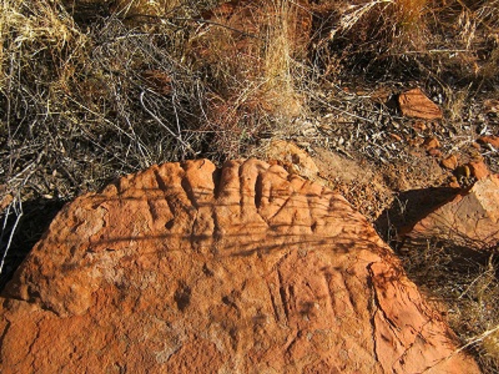
We spent at least two hours in the cool of the pool area and I climbed or rather slid over rocks to see the famous ‘faces’ pecked out on the ancient, weathered rocks. I managed to find 8 faces but I do believe there may be as many as 16. I also saw a very ancient petroglyph, part which has broken away, and high up on a cliff face, which looks like the same style which I have seen in the Calvert Ranges, in the Little Sandy Desert of Western Australia.
‘Faces’

Faces
Family figures
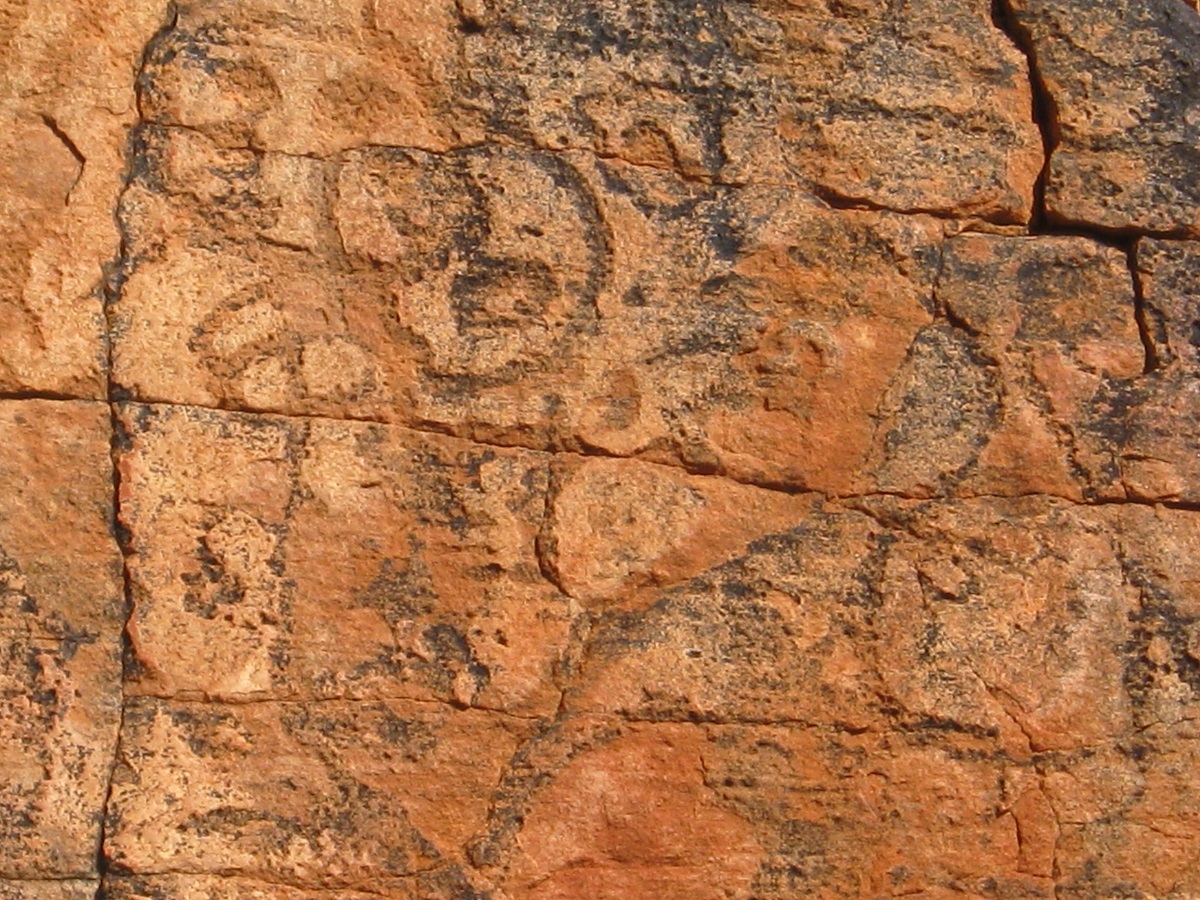
Spirit figures
Meeting place connections
Paw prints
The Zebra Finches kept us amused with their antics of coming down to the water to drink. We also found the remains of a Fox and a Black-footed Wallaby. What happened there no one will ever know but the resident Dingoes may!
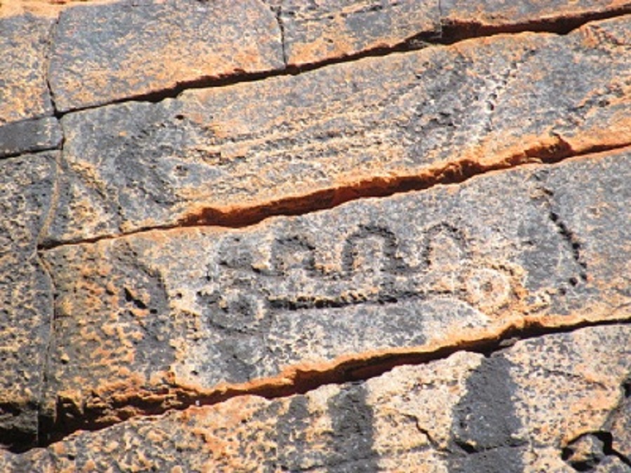
Thomas Reservoir, so named by Michael Terry, is a reservoir in the sense that it holds water semi-permanently and when full, spills it out in to creek and later through the gorge and out into the perimeter of the sand-hills. Evidence of occupation can be seen on the low banks of the creek with many rubbing stones and grinding stones visible as well as flints and stone chips. It must have been a veritable oasis in the Stone-age.
Grinding stone
Grinder
Totemic markings
I was loath to leave the place but we had to make our way back to camp. I was absolutely thrilled to finally come to Thomas Reservoir and to see the ‘faces’. We were both pretty buggered when we got back to camp and after lunch Bill had a siesta while I did jobs around the camp.
We broke camp the next morning at around 8.30am and headed back to the intersection of the Shot Line and the access track. Looking for our tacks of two days before proved quite difficult as we were driving into the rising sun and there were no shadows thrown as to where the wheels had pushed the grasses down. We found them once but soon lost them again and then must have driven over the Shot Line without seeing it. It took about 10km and an hour to find the track again…not that it was all that visible! A short while later we turned off the track again to follow the tracks we had seen two days before. About one kilometre in I staked the left hand front tyre and so the procedure of replacing the wheel and repairing the punctured one began.
Puncture repair
I decided against following the tracks any further and returned to the shot line. Even though we had made our way across these dunes only two days ago it was still difficult to see our old tracks. On a number of occasions I had to back down a sand hill when the old Datto would run out of revs, and then have another go at getting over. For the best part of the cross country driving I was using High Range 4×4 in First and Second gear. This seemed to work well. We saw another Dingo during the morning but for the rest wildlife is scarce in this area. Fresh camel prints were to be seen but we did not see any camels. Just after 1pm we made it back to the shot line and access track intersection and stopped for lunch. Judith had packed two old tins of camp pie in our larder with instructions that they must be eaten. So we set about have camp pie for lunch. After lunch we decided that the remaining tin may be given to the dogs when we get back home.
Boiling the billy

Hitch Hiker
Refreshed by our short rest and feeling better after a snack and a drink we tackled my next destination.
The Princess Parrot 2012
You know the saying……..If I had done that instead of that, then something else would not have happened. And so it goes.
After breakfast on our last day in the Cleland Hills I said to Bill that it would be nice to take a walk over to the escarpment on the other side of the creek to have a look around. Previously we have had to drive quite some distance to get around this creek but walking it should be easy! So we thought. So we set off with all the paraphernalia that one needs for a walk and gained about a hundred metres when we were confronted by an unscaleable deep creek, washed out by millions of years of water-flow from Muranji Rockhole.
I was disappointed that we could not cross over and immediately discounted about a one kilometre walk to get around it and decided to go back to the 4×4 and leave this place. And just as well we did, for we may have missed out on a rare occurrence in our lives.
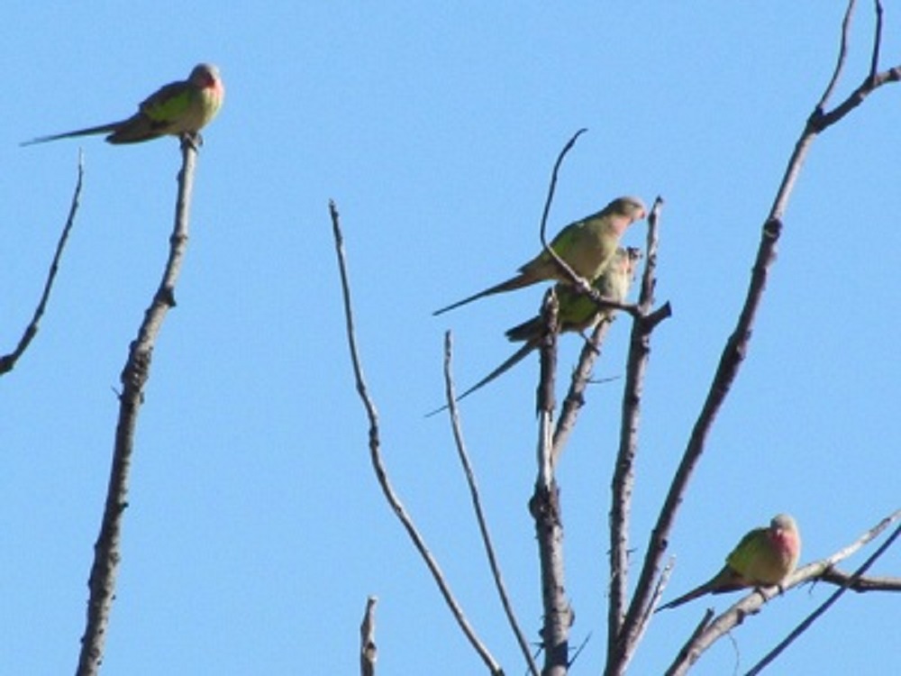
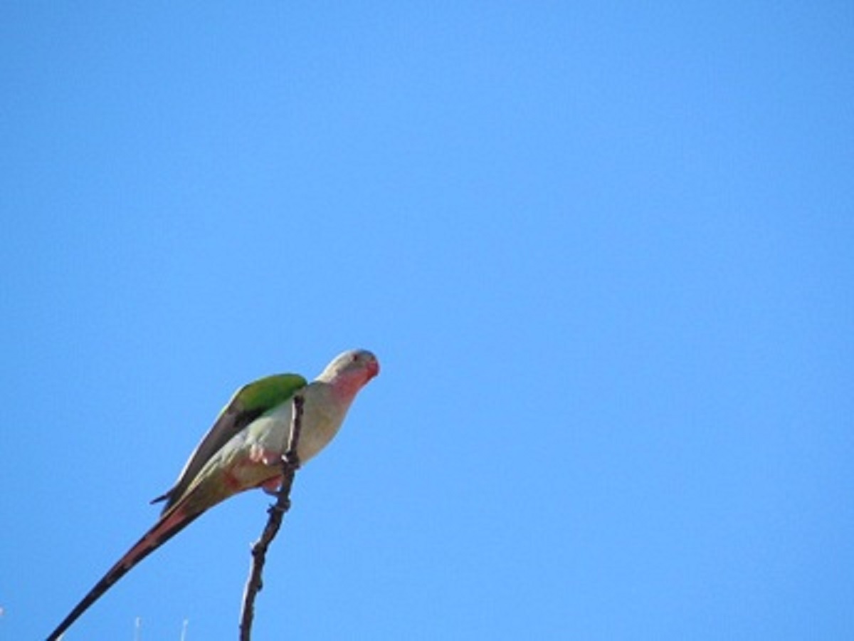
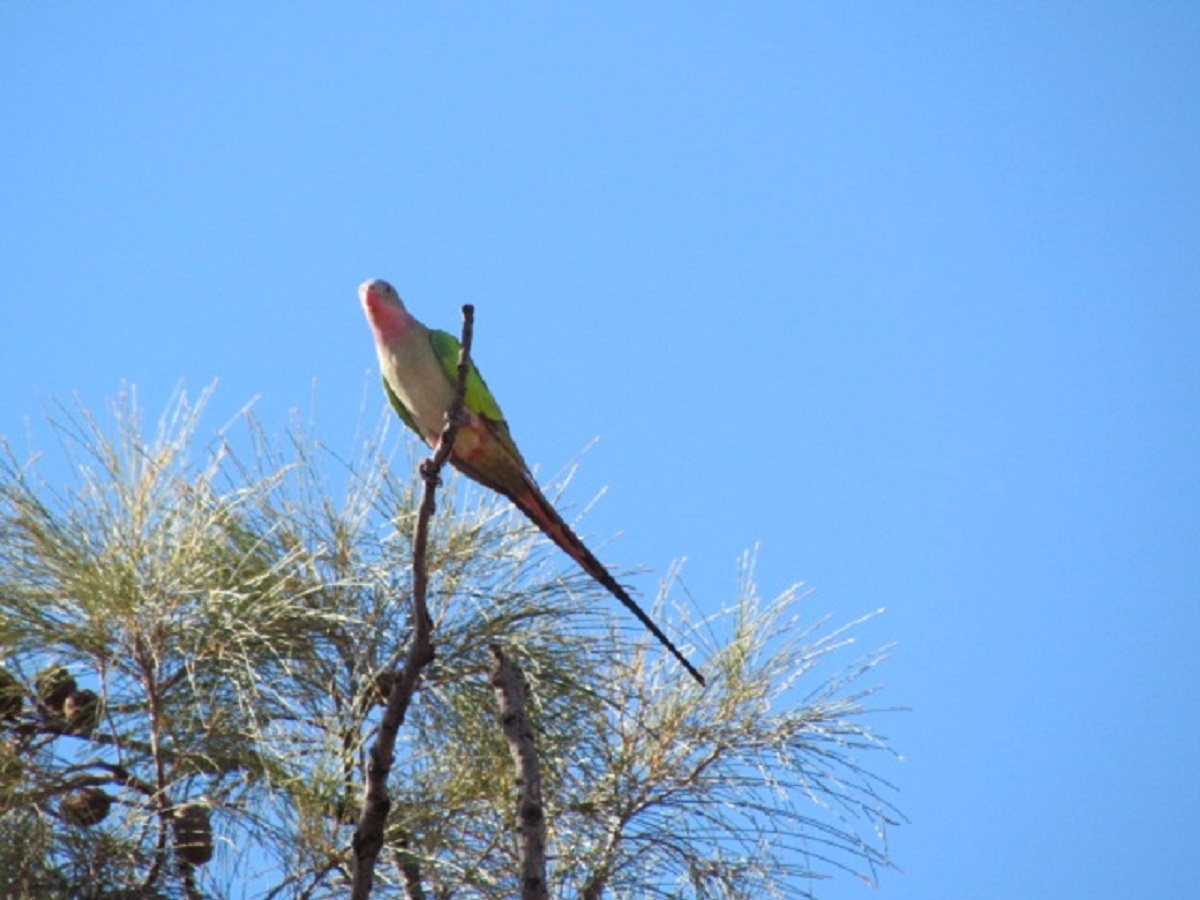
We had seen three very large Bustards in a group on our way out and were discussing this as we were driving along. Suddenly a flock of about 10 birds flew quite low over the front of our vehicle. I said “Look! Cockatiels!” But they were not Cockatiels because as they banked to turn around in their flight, the morning sun revealed a pale green colour on their backs. Mulga Parrots? No, not them either. The birds flew to a tree nearby and settled down and through the binoculars we could see that they had a pink colour around the throat and neck. They were Princess Parrots and it is a rare occasion to see them in the wild as they have no defined territory!
Bill being the more agile of the two of us (and a lot younger too) got out with his camera in hand and followed the ‘Tweets’ and ’Tjirrps’ of the parrots and he was able to get some good photos with his telephoto-lensed camera
What a thrill to have the opportunity to see something that is rare, in the wild! If we had continued in our effort to get to the escarpment that morning this occurrence might not have happened.

Princess Parrot
Polytelis alexandrae
Princess Parrot sightings 1st June 2012 on then edge of the Great Sandy Desert Photos by W.McAinsh
Their life span is thought to be as long as 30 years. Under the right circumstances they are able to bond to more than one member of the family. They are a favourite among many aviculturists and pet owners because of their looks and personality.
There are three common colour mutations of this parakeet. These colours are Lutino, Albino, and Blue. The natural, or ‘normal’ colour is green.
The Princess Parrot is a medium sized parrot, 34 to 46 cms long. The plumage is mostly green with a pink throat, bluish crown, and bright green shoulders. The rump is blue and the tail is long and narrow. The males have longer tail feathers and brighter colouring than females. The male also has a coral-red beak, while the female’s is duller and has a greyish crown. Another difference is that the male has an orange iris, while the female’s is much browner. In addition, the male of the species has a longer, projecting extension from the end of the 3rd primary (flight) feather on each side. This projection is called a ‘spatula’ or ‘spatule”. It appears in mature male birds.
Reproduction:
Four to six white eggs are laid which are incubated for 19 days. The chicks leave the nest about 35 days after hatching. These parakeets are truly opportunistic breeders, with pairs choosing to nest when food is plentiful. They nest in a hollow in a eucalypt or desert oak.
Behaviour:
This species is nomadic, arriving in small groups to breed and then disappearing. It is one of Australia’s least known parakeets because it is so elusive,[citation needed] even though it is spread across the interior of Australia. It inhabits arid woodland and scrub with spinifex, eucalypts, acacias, etc. They are unusual among parrots in engaging in mobbing behaviour against predators. They feed on the seeds of grasses and shrubs.
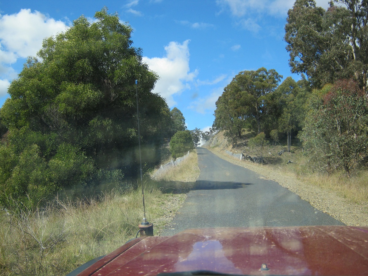
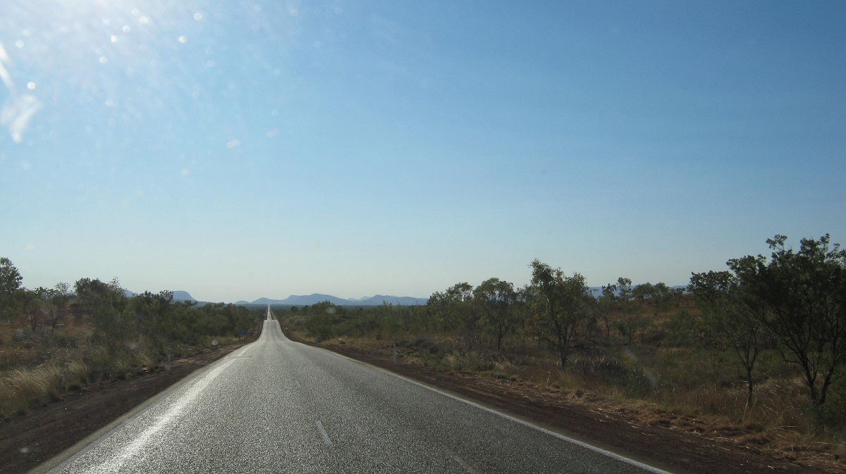
Up the Tanami Road 2012
After a delightful 16 nights in Alice Springs, staying with our friends, we were on the road again and this time heading northwest and towards a warmer climate. During this time the boys had been on a six night bush trip while the girls did the rounds of the art scene and eating establishments.
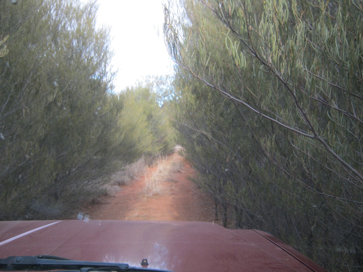
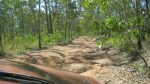
Typical Tanami Road
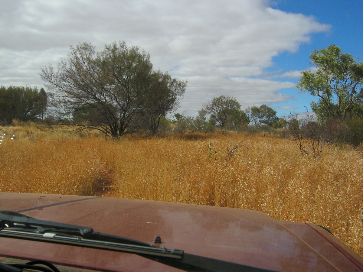
The Tanami Road is sealed Strip Bitumen from the Stuart Highway turn-off 21km north of Alice Springs, up to the Papunya Community turn off and Two-way Sealed road from there to Tilmouth Well Roadhouse and some sections beyond to Yuendumu Community. I spoke with a truckie over the UHF radio whilst getting out of the way of the road train and he said there were some sealed sections after Tilmouth Well. After refuelling and some 500metres beyond the roadhouse, the gravel road beckoned us and it was well and truly horrendous. I hadn’t dropped the tyre pressures yet and had to endure 5km of extreme corrugations before the next sealed section.
Pink Cockatoo
Passing through the Stuart Range I started looking for somewhere to camp and found an old disused track heading in the direction of Sullivans Well as marked on my mapping. After about 500 metres a claypan appeared next to the track and that is where we made camp for the night. There was some traffic on the road up to around 8pm but then it quietened down completely. The vegetation surrounding the clay-pan had been invaded by a nasty Goats-head Burr and one had to watch where one walked as the dastardly prickles seemed to jump towards one clothes!
Goatshead Burr
We found some old dry firewood and had a lovely camp fire. The wood, although looking so dry would not burn out and I had to make four trips to extinguish the flames which kept on igniting after we had gone to bed.
Claypan Camp
A cool night ensued, but were we snug warm, in our beds. At daybreak the Dingoes gave us a morning chorus somewhere in the vicinity of the Stuart Range. The road to Yuendumu was sealed in two small sections but for the rest it was pretty ordinary. We dropped in to see the town but there we no surprises apart from the NextG Telstra Tower and some large solar panels.
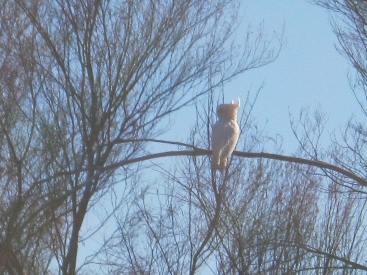
Continuing on our journey in a north-westerly direction the road was pretty corrugated and chopped out in places. We stopped for lunch at a dusty truck stop and I checked tyre pressures and wheel bearings on the van. We saw some lovely Wedge-Tail Eagles, a small flock of Pink Cockatoos, a Big Red Kangaroo and beautiful Brumbies. We stopped for locals who had a flat tyre and they asked for water….so we gave them a bottle of water. A short while later they came hurtling past us again at breakneck speed. I run the tyres at 24psi and rarely go more than 60kmh. We came across two low loaders carting Haulpac mining trucks. They were driving at less than 10kmh on the corrugations and the front wheels of the Prime Movers where bouncing off the ground……what fun!!.
Our camp for the night was off the road at Renahan’s Bore, which was dry. It is pretty much the last place to camp free from Spinifex grass for quite a distance! I checked the U-bolts on the caravan springs and did a few other jobs that needed doing. Both the solar panels came out as it was a great sunny day which peaked at around 24°C. Later in the afternoon a number of vehicles drove in and out looking for a place to camp. A Slaty-back Thornbill and a Falcon came by to greet us at our camp. We managed to scratch around in the scrub to find enough firewood to cook our tucker. Today the caravan did not ingest any dust but the fridge opened and spilled some of its contents out on to the floor. No harm done however. A breeze sprang up later and that kept the ever pesky flies at bay!
Tanami Plains
I made a new wire lock for the fridge door first thing in the morning after listening to Macca on ABC Radio for a while. The road surface from our overnight camp was good for most of the day with only minor bits that were rough. We passed by the Granites Mine with all its warning signs and stopped for smoko opposite the old Rabbit Flat Roadhouse turn off. The latter Roadhouse closed in 2011 after the owners Bruce and Jacqui Farrands retired.
Rabbit Flat closed
Graffiti
Then it was time to re-fasten the stove with new clamps and that took a while. We pushed on past Tanami Mine and at the Lajamanu intersection we had lunch. There is a water tank there with water and rubbish bins supplied and serviced by the mine and so we topped up our supplies of water, refuelled from our jerry-cans and had lunch. Then it was 80km to the NT/WA Border and more signs of dire warnings for all kinds of stuff. The countryside becomes undulating and the road snakes over some rock extrusions. There were some bulldust patches but overall the road was OK. There have been fires through the area and a lot of Spinifex grass has been burnt off. Coyote Airstrip was vacant this time but when we passed by here in 2009 there was a Jet parked on the runway!
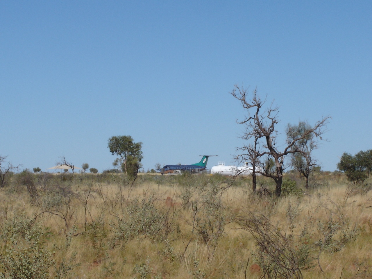
Jet on the Tanami
Another mine passed by and about 30km into WA we saw a bush track heading south with all signs removed and so we went down that way for about 2km and found an old mining camp that was deserted but still with some heavy pumping equipment and mining stuff. This was the place to camp for the night. We gathered fire wood and I repaired some cooking pots which had unscrewed themselves from their handles
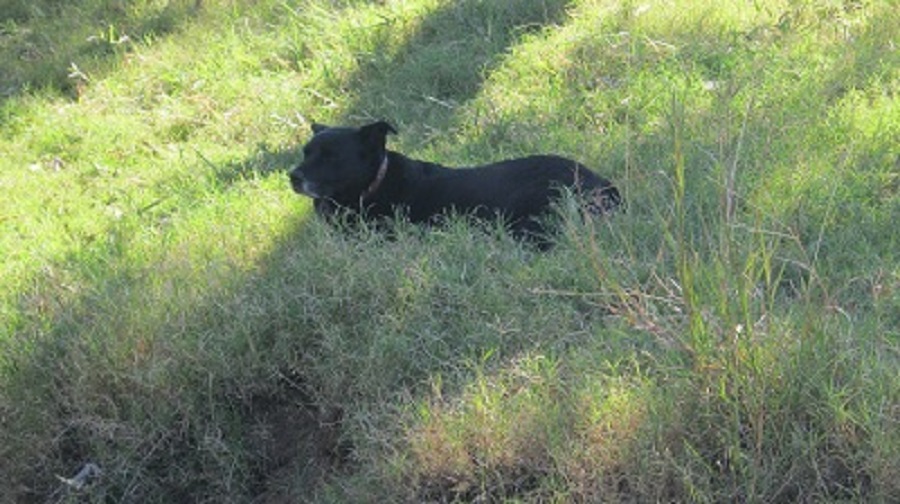
Jeddah seems to be feeling better after hurting her left front leg whilst jumping out of the truck a couple of days ago. We have been nursing her along. She sleeps a lot. The Coyote Mine Crusher started up after dark but it was far enough away not to worry us.
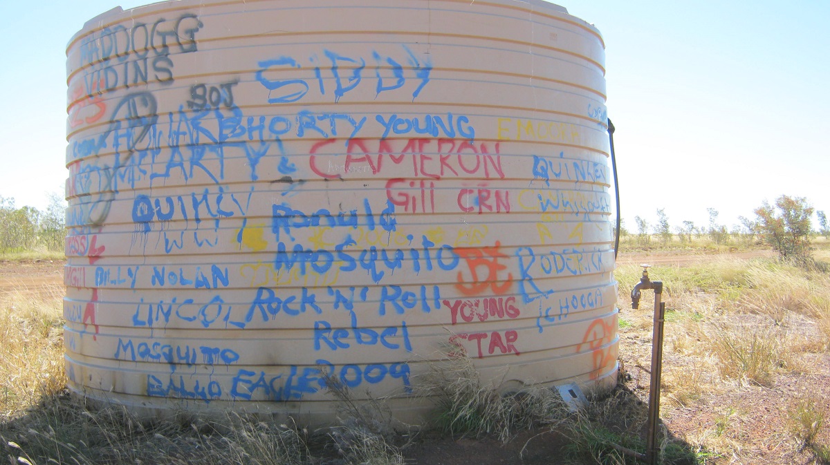
We were back on the Tanami by 7am after resetting our clocks to Western Australia time. The road was bull-dusty in places but reasonably smooth. We came across an old Bull Camel who posed for photos. Jeddah only barked at it after it had moved off some distance from us….just to be on the safe side! We arrived at Balgo Community just before 9am and waited for a short time before the Warlayirti Artists Gallery opened. The building has a lot of fantastic mosaics on the floors.
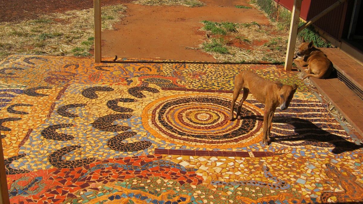
Fine Art and Camp dogs
The glass works and paintings were phenomenal and so were the prices. We were given a free catalogue and we bought a local band’s CD. Balgo is a community of 7 desert tribes who all live in the same area. After Balgo it was a 44km journey to Mulan.
Condren Pinnacle
Paruku IPA encompasses a variety of desert and semi-desert landscapes and undulating red sand plains, salt pans and occasional dunes with stunted eucalyptus. It is dotted with acacias and spinifex, flood plains with swathes of short grasses and low shrubs, and alluvial plains and sand rises. The land covered by the IPA is held under two pastoral leases purchased by the Aboriginal Lands Trust in 1978. Paruku/Lake Gregory and Billiluna properties are managed by the Mulan community with the assistance of the Kimberley Land Council. IPA status helps Traditional Owners protect their places of cultural significance, to develop an ecologically sustainable pastoral enterprise and conserve the Paruku wetlands.
The IPA has several groups of Traditional Owners, including Walmajarri, Jaru and Kukatja peoples. Paruku is at the end of a long Dreaming track binding together a large number of people living across a wide area. The way the land and waters are managed, including the placement of fences, bores and living camps, is governed by Tjurapalan Tingarri Law. The law also binds the Traditional Owners together and expresses their communal ownership of native title.
IPA activities help to manage the land in accordance with traditional ways, and support cooperative community works. Environmental degradation caused by introduced species, along with former overgrazing by cattle, is being addressed with the assistance of IPA funding.
Traditional plant use has been recorded through ethno-botany field trips, and visitor activities managed through the preparation of a tourism management plan, and construction and maintenance of lakeside campsites. Controlled burning practices, and fencing to monitor the impacts of feral horses and cattle, are helping to care for country and maintain the land’s health into the future.
Mulan (pronounced Mullin) is a much smaller community than Balgo. Together with the Billiluna Community it has the surrounding areas of Lake Gregory or Paruku, as their ancestral lands. We paid $30 for a Camping Permit and including one night’s camp and then $10 per night to camp for the additional days on the shores of Lake Gregory. The Ranger said that there was plentiful wood and a water tank and pit toilets and we were guided to the site by Mark, a community leader, who I had met the last time we passed by here. He guided us in along a private track as the main access was, according to him, too rough for our little van. I remarked on the fine looking Brumbies out on the plain and Mark related a story that one of the Elders of Mulan community was a friend of a Horse Racing Icon down south and that the latter presented a gift of 10 retired racehorses to the Elder and the Mulan Community. The horses can certainly run at a good gallop.
Handover Camp
Our camp at Handover Camp on the shores of Lake Gregory
After Mark left we discovered that the tank had a faulty tap and that there was no water in it. The bush toilets were not encouraging either. I rang the Paruku Ranger on my Satphone and left a message on his answering machine. Later we tipped the tank up on its side and took about 30 litres of water from it. We set up our full camp for the first time this trip and loafed around for the rest of the afternoon. Today we saw lots of Brolgas and some fine looking Brumbies. There are more birds calling from the Lake, which is full, after 400mm of rain during the Wet Season and we will take a walk down there soon. The sunset across the lake was magnificent. Tonight we are camping here, all by ourselves, with just the flickering flames of the fire, a wonderful night sky and a snoring dog to contend with. Let’s hope it stays that way.
I woke up during the night at around 2.30am to hear the van’s fridge not working properly. It would seem like the compressor has passed away. I had wondered how long it would last over all these bad roads. Even so, the van has done over 50,000km in three travel seasons so far. In daylight I pulled the external fridge cover off and checked all the wiring but all seems OK. Jude repacked the fridges so that all non-essential items that do not need cooling are packed into the van fridge. Then some cloud cover appeared but by midday the sun was on the solar panels most of the time. We went for a walk to the edge of the lake to take some photos and collect firewood. Jude went into her work tent and made cards whilst I tried to invent different ideas to apply to things around the van. Later in the arvo the Ranger came by with another vehicle following. I hailed him and asked whether he had received my message. He replied rather sheepishly that he seldom listens to the messages. Anyway, he promised to come back the next day to repair the tank and to bring water. (He never did). We dragged an old hollowed out tree stump over to the fire at sunset and had a mighty bonfire whilst cooking our tucker on the coals provided. Went to bed at a staggering time of 7.30pm but telling ourselves that it was really 9pm just across the border!
Log Fire
Wednesday morning and we have clear skies and it is 20 degrees at 6am. The batteries have held up well with the Engel running on Freeze all of the time. The flies are becoming pesky as they have invited their friends over to come and annoy us. Luckily we have the Screen tent we can hide in if they become too troublesome. Brolgas, Cockatiels, Galahs and Whistling Kites fly over. A family of Pied Butcherbirds keeps us entertained. The Crows are local residents. We fire up the campfire and have pancakes, banana and honey for breakfast. Then we all go for a walk to collect fire wood but Jeddah stays out of the long grass and waits for us to return with our bounty. Jude spends most of the day in the Screen Tent making cards whilst I read an auto-biography and shift my position every so often to stay in the shade. I also shift the solar panels every couple of hours to get more direct sun-rays. It’s a hard life!
Afternoon Ghost Gum
It’s a warmish day around 25 degrees. Around lunch time three vehicles towing trailers arrive. The occupants are offish and do not even glance at our encampment. Eventually a bloke walks over. They are lost. The Ranger wasn’t around at Mulan so they were given vague directions on how to get to their camp. They do not have not decent mapping and are visibly alarmed when I tell them it is about 170km around the lake to the Lake Stretch Campsite. I don’t tell them about the horrific corrugations they will encounter! We wait all day but the Ranger does not show to repair the tank or bring us some water. We have enough water to last our time here with careful management and having daily showers. After sunset we count satellites and cook a great stew over the fire. We notice lights across the lake and also off into the dunes to the south and wonder about them, but they eventually disappear. The rising cool wind from the east sends us inside to bed at 7.30pm
Thursday and it is our last day on the distant shores of Lake Gregory. Brolgas fly over just before sunrise and sing their melodic calls. I make early morning coffee and we talk about house plans and what the next project will be for 12 Collins Street ( the things you talk about when you are on holiday!). There is a light breeze and the skies are clear. What will the day bring?
Well…………………….
I wondered why I tended to roll off my bed last night. As I am setting up the solar panel for the early rays of sunlight I discover that the right hand tyre of the van is flat. After breakfast I jack the van up, remove the wheel and fit the spare. Then I pump the flat wheel to a good pressure and test for leaks. It turns out that the air valve has gone squishy and so I replace that and fit the re-inflated wheel on to the spare wheel holder. Then I remember that I was going to make a ‘new’ locking device for the now defunct fridge as it tends to open by itself on corrugated roads. The dead fridge has been converted into a store cupboard for soft packet foods. The next job is to repair an Anderson plug which has loosened itself from the power chord. We wander off after that to collect more fire wood for tonight’s fire and after catching our breaths and changing back into lighter clothes I sit down to read my book and Jude goes back into her screen tent to make cards. Jeddah settles in the red dust and is soon snoring softly.
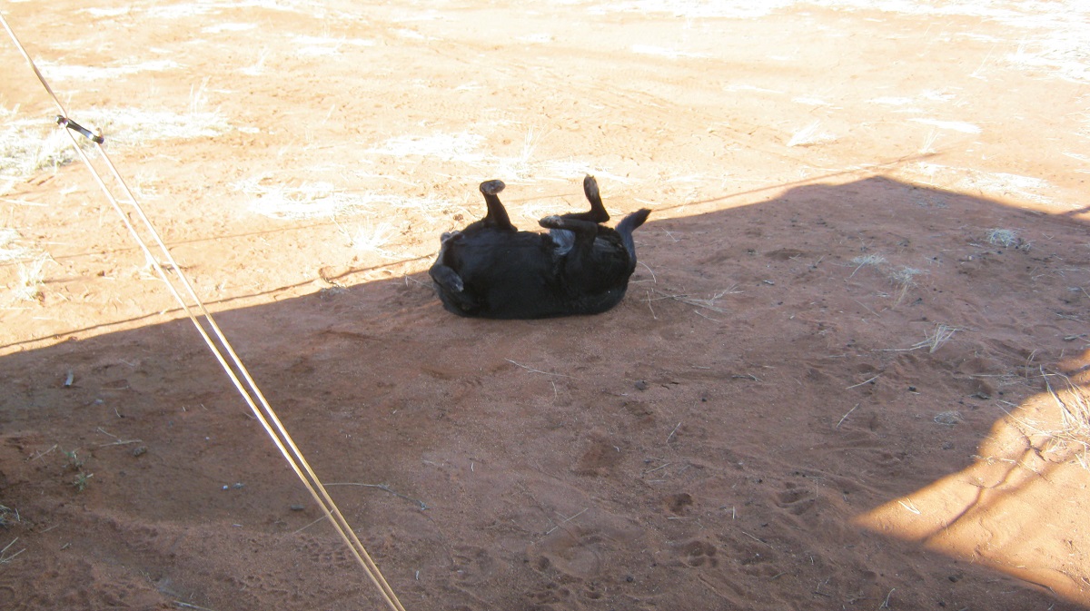
Doing a doggy thing
About the middle of the day I hear a vehicle approaching and soon Mark’s HiLux appears through the long grass. He has been out gathering firewood and has come to see if we need some. He stops for a chat and three cigarettes and we talk about places and people we know who have something to do with part of the country. Shortly after his arrival 5 Toyotas turn up with a bevy of teachers from Mulan Community School, some women elders and 29 school kids, aged under 10! Bedlam! Kids run amok! They make damper and cook Kangaroo-tail and whilst this is happening the majority of them go down to the lake in the vehicles and then run back a little while later. This is their Culture Outing for the week. They are very interested in our caravan, shower tent, screen tent and solar panels.

Naughty kids
After about two hours they take off again in a cloud of dust, waving like mad as if we were long lost relatives. We are left once again with the quiet of the lake shores and the ever annoying flies. Desert Dwellers rosemary and cedar-wood crème, bought in Alice Springs at great expense, it does do a good job though of keeping the flies at bay. We lapse into a zzzzzzzzzzzzzz afternoon just loafing. Three Brolgas fly high overhead. The sun sets and tonight the midges and enough flying insects to make an entomologist happy, bear down on us. Every time we turn a light on they are there!
A wispy sunset
We were going to stay the extra day but decided that the insects ruled the roost. As it is, the tiniest of ants have built a nest under our porta-potty in the shower tent.
Lake Gregory
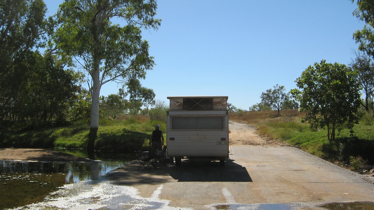
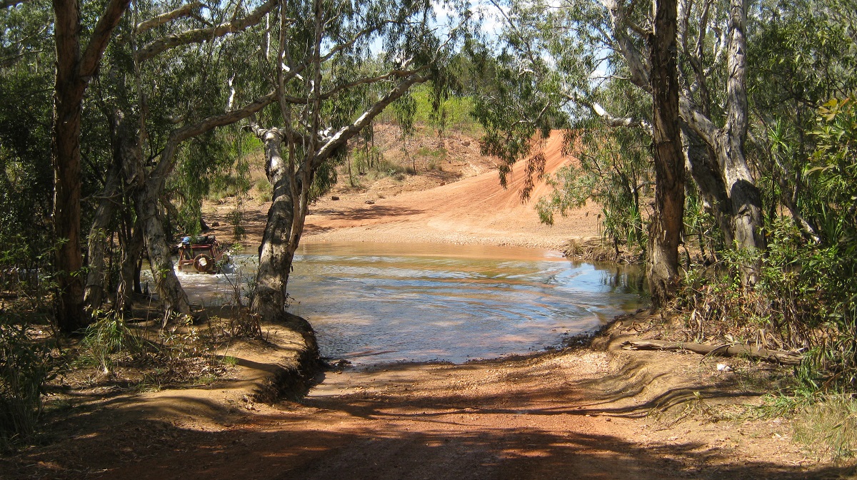
In the morning it is overcast and this helps with packing up. We go down to the lake once more for a last look and then take the designated private track back to the community. As the water tank at the camp had not been repaired and filled in our time there, we are allowed to take water from the store. We have brief chat with Mark again and soon we are on our way back along the road to Balgo. A light shower of rain has fallen during the night and the road is virtually free from dust. At Balgo Community we find a rogue Telstra NextG phone tower and we listen to phone messages and clear up our inboxes. Then it is back to the Tanami Road where we turn left towards Halls Creek. There are road-works in progress and most of the road to Billiluna Community is in good condition. Lunch time finds us at at Sturt Creek and we turn off to find the campsite deserted and then decide to stay overnight, hoping that everyone else drives past. By 4pm we are still the only ones here. It is a pleasant spot right on a small billabong but only about 250metres from the road. There is a severe washout on the way in and the van scrapes it underbelly. Then I spot the easy way in! We manage a nice hot shower with heated up billabong water. In bed by 8pm and slept until about 4.30am when we both woke up and decided to move on.
Sturt Creek Billabong
The road from Sturt Creek past Billiluna Community we will call ‘So far’………So far it’s not bad…some good stretches….about 50km…. and then then some loose-rattling corrugations…about 120km of it, some cattle drovers
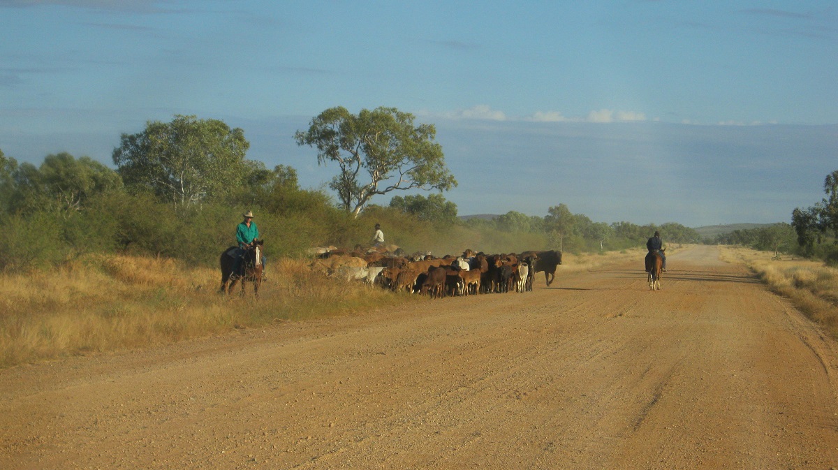
Drovers
…and bulldust
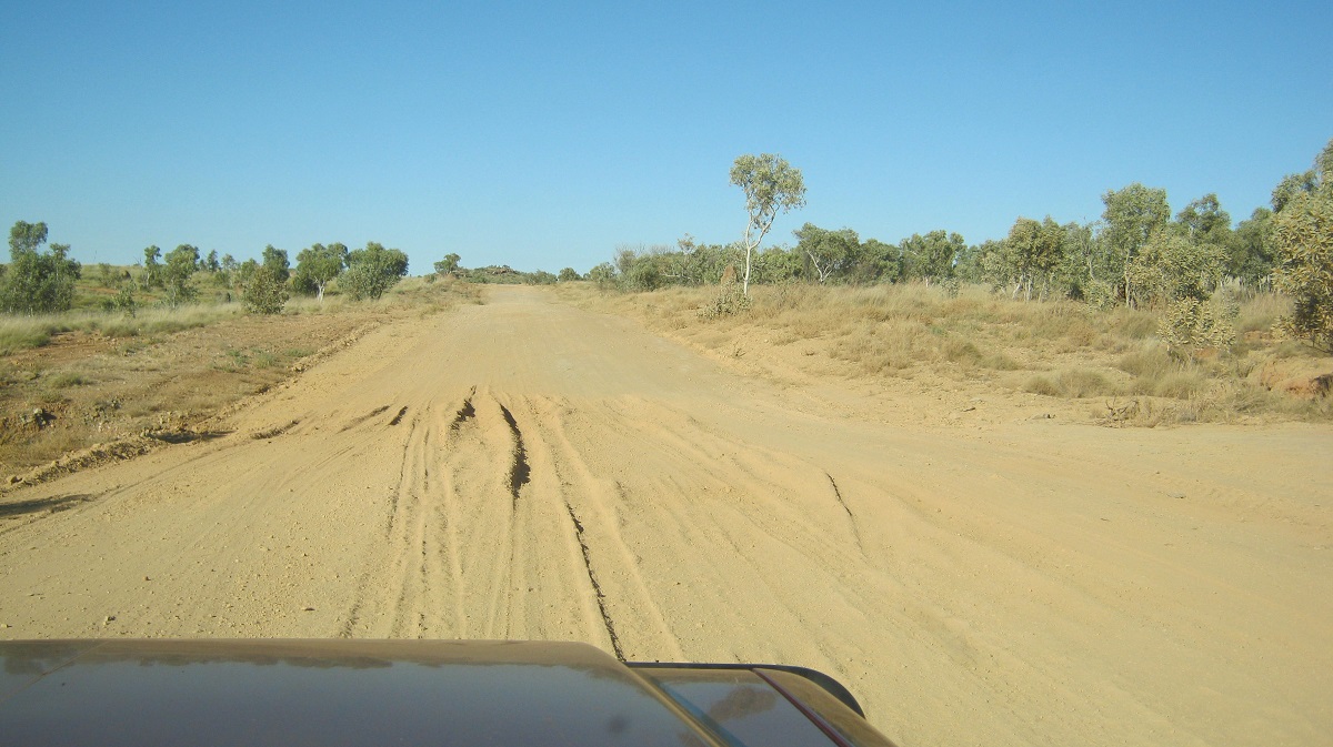
Bulldust
….at the bitumen there is a sign all about Quarantine Regulations…and another sign stating Welcome to Western Australia. Hmmmm..we’ve been in WA for a week…go figure.
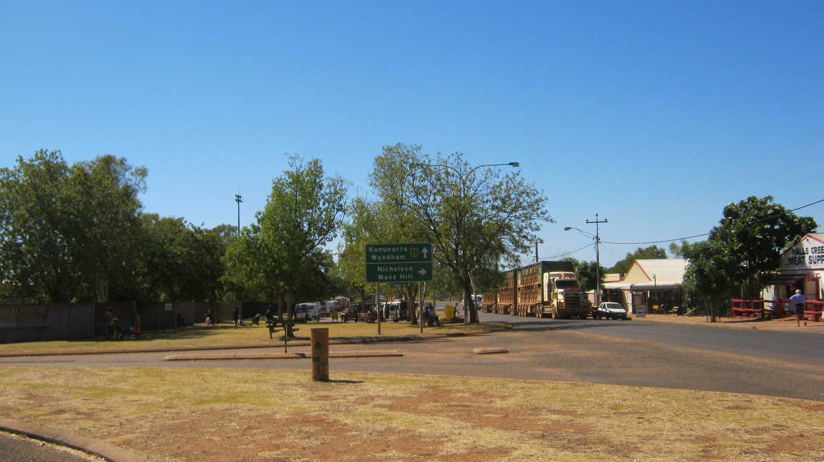
Halls Creek
Halls Creek, the town with only Light Beer…no wine to be had by anyone…just as well we have a private supply. Refuel, buy groceries and water($1 for 10 litres) and make for Caroline Pool 15km out on the Duncan Road. There are 5 other camps but we find a place and stop for the day. Spend the afternoon watching the passing parade. Its gets dark quite early here and we don’t have a fire tonight and we are in bed by 6.30pm. All the radio can pick up is some silly football game some down south. At 4am I make us a Hot Chocolate so as to settle the sleep fairy and we drop off again until sunrise. Some campers move out on their way to wherever. At the entrance to Caroline Pool the sign states ’24 hour camping only, No littering…Penalties Apply!!!’….Geez, friendly mob, eh? Who is patrolling these lands, I wonder?
Caroline Pool
I decide that I want to see the other side of Caroline Pool. Trouble is, it is hemmed in both side by smooth rocks. I try the rock approach first but my balance fails me and so I gingerly pick my way back down. Then I decide to swim across with my digi-pic camera in a clip-lock bag. Yikes!! …the water is icy! On my way back a young fella tells me it’s an easy walk along the toe holds on the rocks. I can see myself falling and opt for the thick oozy black mud way instead! Slack off for rest of day. We cook tucker on fire and manage to stay awake until 8pm! Wake up at 4am with runny nose(must have been the black mud!). Take pill and that cures it later on.
Monday morning sunrise. Oh what fun…we have a flat tyre on the Datto! The first puncture we have had since leaving home in 11,000km (excluding the off-track punctures). A lovely 12mm screw stuck in the tread. Pump tyre up and get out of our sandy camp using low range and get to a clearing up the hill where I plug the offending tyre. We then take a leisurely drive in the early morning to Old Halls Creek, Palm Springs and Saw-Pit Gorge. Old Halls Creek ruins are now enclosed under a roof and the sides of the building are built from arc-mesh wire, no doubt to protect it from vandals (and there are plenty of them about as one witnesses the needless graffiti on signs, rocks and trees). The Hills of the Halls Creek area have made many a gold prospector wealthy over the past years. Nowadays big mining companies move in when the prospects are good! Palm Springs is a lovely little spot but right on the road. Saw Pit Gorge had a fire raging through it and after 2km down the track we turned around just to be on the safe side. If the wind had changed in our direction we would have been in strife.
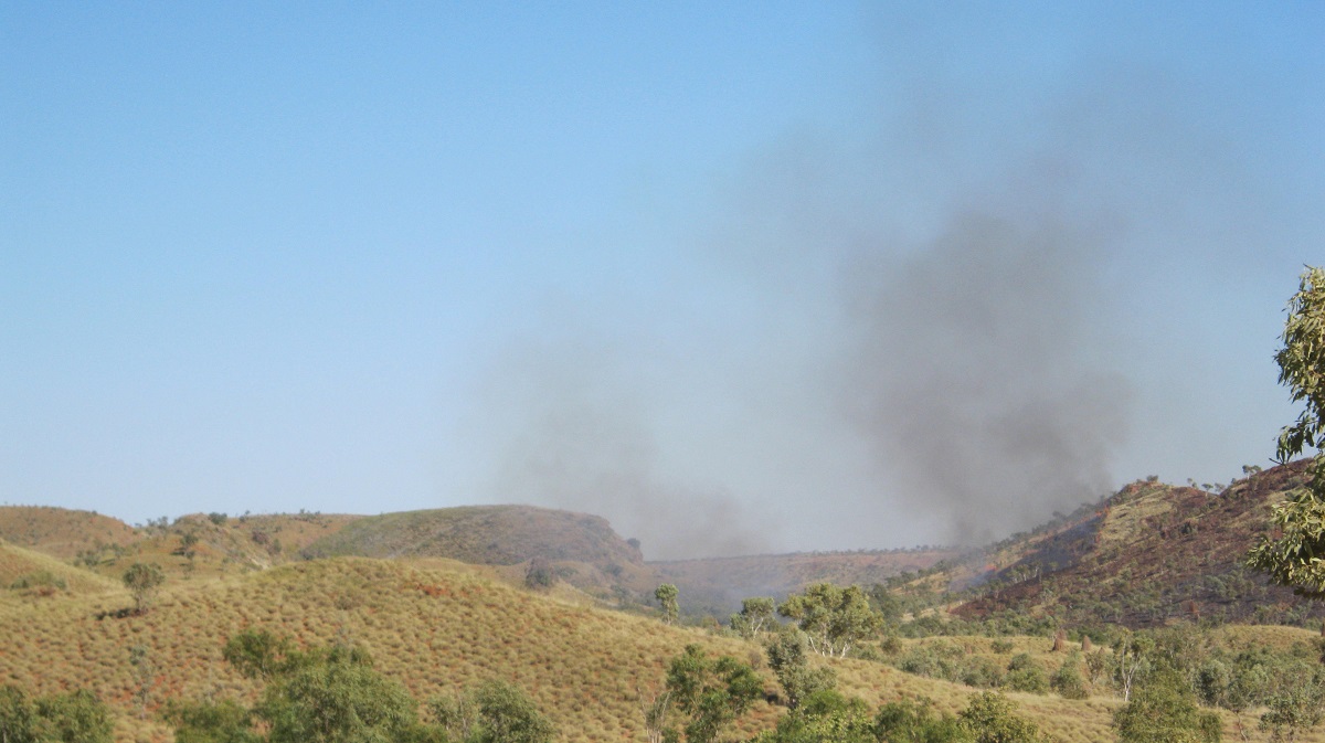
Saw-Pit Gorge on fire
So we took our time driving through hilly terrain back to Halls Creek. We checked out a place in the long grass called The Beach. It’s a nice little spot with hard sand and a flowing creek but the entrance and exit could have been tricky and so we gave it a miss. Here we used our two-way radios for the first time talking to one another over about 500 metres. They worked well.
Back in town we did more shopping, visited the Art Gallery and pumped the tyres up to 35psi again. Here I discovered that the back seat had pinched the air hose and had made a hole in the hose. And so that had to be repaired before I could pump the tyres. Meanwhile the locals strolled by watching what I what I was doing with great interest. They basically come out on to the lawn verges of the main street of Halls Creek and watch the tourists go by. I must say that it is a bit of a circus. Maybe around 50 4×4’s with vans, a few cars and three or four road trains made up for the passing parade. At the Art Gallery there were a number of artists working on huge canvasses at tables. The art is to the same standard as that of the Balgo Community. There were paintings, T shirts, bags and Postcards to be bought and all at a healthy price!
Then we made for the road heading north.
The East Kimberley 2012
The road is swarming with tourists driving singular or towing camper trailers or vans from mini size (our size) to humungous 30 footers and 5th Wheelers. Then there are those in Buses and Winnebago’s. Where would we find a camp tonight? The first place we came to was already filling up only about 40km from Halls Creek. Shortly afterwards I spied an old disused road heading away from the highway and towards a river. Did a U-ey and found the old crossing on Upper Panton River about 300metres from the highway and shielded by trees and a lovely tumbling of the river over the edge of the old causeway.

Upper Panton River
Time to stop methinks and we camped on the causeway itself. Jeddah immediately took to the couch grass on the banks of the river for a roll. Popped the solar panel out in the sun and we settled down for the afternoon.
Upper Panton River Causeway
Jeddah being cool
I was sitting there fiddling with paper maps when I looked up and saw a large dog trundling along the opposite bank of the river. It came to a clearing and then saw me, got the fright of its life and disappeared into the long grass like Houdini. On reflection I think it was maybe a Great Dane Dingo-cross dog. Later in the arvo some Yellow Tail Black Cockatoos flew over and a small flock of Redwing Parrots nested in a tree nearby for the night. Once again our time was thrown out as the sun set at around 5pm when in our minds we know it was 6.30pm. Needless to say we were in bed early again listening to a fading in and out radio station broadcasting from some thousands of kilometres somewhere in the deep south.But we had the place to ourselves and that was all that matters.
Had a good sleep and only heard one or two road trains during the night. Early morning and Jeddah jumps out of the van and into the water. Oops!! We get going and have a pleasant drive looking in at other crowded roadside camp sites. We pass the turn off to the Bunge Bungles but we were there before the crowds and before the national park when only word of mouth knew its position, unless you were a local. We see lots of young Boab Trees and we see three Dingoes including a Black one. We stop at Warmun/Turkey Creek for fuel and something to munch. Diesel is 31cents a litre more expensive than Halls Creek. Some grass fires are burning in the hills and we come so close to one I could feel the heat inside the Datto. There are road-works in progress where new bridges are being built as strangely enough there are still many One Way bridges here in the Kimberley. We were here last in 1986 and I don’t seem to remember this country at all and especially the mountain ranges and hills that make up the rugged Kimberley Ranges. In the middle of a road-works we see a sign to a scenic lookout and we go that way and decide to stay there for the rest of the day. It has a expansive view over the Ragged Ranges and Blatchford Escarpment.

Blatchford escarpment

Ragged Ranges
Weird rock formations
Trucks are hauling sand and water past every hour or so and the drivers give a friendly wave. A tour group pull in for a spot of lunch and I get chatting to the Tour Leader and he looks up a tree in his library of reference books, which has puzzled us for some days. They leave and we sit in the shade and read our novels for a while. The flies are not too pesky! Later in the arvo I decide to tighten the U-bolts nuts on the springs. Its then when I discover that the right hand front main chassis channel has cracked right through!

Cracked chassis
Trouble
And the left hand one, which was welded in Cooktown last year, is cracked again. What to do? We fall around for a while thinking up scenarios of how when and where. One option is to go home. Another option is to remove all goodies from van and take it to the dump or give it to the salvos. We decide to lighten the load on the van anyway and start repacking stuff into the Datto. No early night tonight!
Repacking
Repacking
Repacking
We fall into bed at 9pm, exhausted. Sleep isdisturbed too and we have a Chocolate drink at 2.30am. But when daylight comes we decide to make for Darwin and have the little van repaired there. I had rung George up on the Satphone just to get him thinking about what to do. We take off for Kununurra early and when there I make some phone calls to sort out accommodation in Darwin.
Road to Kununurra
Ord River Dam
Kununurra has grown tremendously but there are even more social problems in the town now than when we lived here in the 1980’s. We have coffee and biscuits down by the lake and head for Timber Creek and Katherine. We stop for lunch at a wayside stop with a cluster of other vans and later we have a powernap at another stop. There are just too many people on the road. They take over these free camp sites by getting there early in the morning and might stay more than a day. We usually look for a scrape or roadside quarry where we will have no noisy neighbours. We soon find one just before Timber Creek and settle down for the rest of the day. The cracked chassis is holding up well and has not moved since this morning. The road is much smoother now and I can sit on 75kmh to keep an even speed. Today we saw some Kites and Jabiru and all shapes and sizes of Boab Trees.
When God made the earth he also made the Boab (Baobab in Madagascar and Africa) Tree. He said to the tree that it would be the most beautiful tree in the world and that it should bear sweet fruit. But when the fruit ripened they had a disgusting taste to them. God got so angry that he grabbed the tree and replanted it upside down as punishment. And that is why the Boab Tree’s branches look like tree roots!
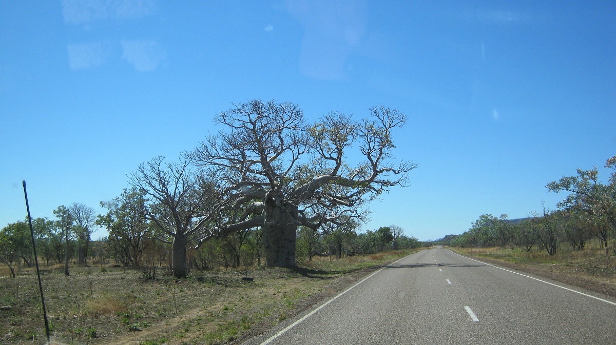
Boabs
We are on the road by 7.30 and soon we tackle a Scenic Lookout Road which takes us to the top of the range. We needed Low Range gears to get up there though. We stop at Timber Creek and buy a fridge magnet. Then we drive the Victoria Highway along this very scenic valley. We went for a walk down to the Old Victoria River crossing. The river is quite low now and it is hard to believe that it can rise up to 25metres in a big wet season.
Victoria River
Old Victoria River Crossing
We refuel at Victoria River Roadhouse and 193km later we are in Katherine. Along this journey the old Datto’s speedo clicks over on to 450,000km! Just run in someone said……..
At Katherine I notice that the left side chassis railing is also cracked. We make some phone calls and are back on the road within an hour. Only about 320km to go! We call in to a friend’s place at Pine Creek but she isn’t home. Whilst looking for the track to MacDonald WW2 Airstrip we find a large roadside quarry and turn in there and about 300 metres off the road we find a camp spot. There is plenty of fire wood and the area is clear of grass. A good camp, though there was some road train noise.
Up and on the road by sunrise and on the last leg to Darwin. Grassfires have burnt the country and new green growth is covering the plains and the place looks fresh. We stopped at Adelaide River to take some photos and bumped into some travellers from home.
New growth
Road n Rail at Adelaide River
Strauss Airstrip Memorial
The next stop was at the Strauss WW2 Airstrip and then we made it into Darwin after taking the wrong road and getting seriously lost! Even the 2012 Darwin Roadmap is out of date!!
The caravan chassis held together by pure good luck and now we will evaluate our situation and see where it takes us. We are expecting to hang around the Top End for some weeks catching up with old friends and seeing all the new sights.
I wish
Arnhem Land 2012
Small Palms
Even today there is still scant information on Arnhem Land. Access to visit the region has become easier and a steady stream of visitors, mainly recreational fishermen, have come to the Gove Peninsula. Research via the Internet and other publications only gave a glimpse but I found out that we needed two permits to access Arnhem Land. One Transit Permit from the Northern Land Council via the Central Arnhem Highway with some specific details of why you wished to go there and where you would be staying. This permit comes at no cost and I nominated a period of 10 days for our journey there and back. The second permit you get from the Dhimurru Aboriginal Lands Corporation in Nhulunbuy. The permit cost varies from $35 per person per week up to a higher scale for a longer stay. This General Permit gives you access to visitation and camping in certain areas. There is no additional cost. There are four areas on the Gove Peninsula which attract a Special Permit and a small fee and are subject to availability through a booking system administered by the Dhimurru Corporation. This permit is to control access numbers on a day to day basis. These areas are Wanuwuy (Cape Arnhem), Gapuru(Memorial Park), Ganami (Wonga Creek) and Manangaymi (Scout Camp).
The top road into Arnhem Land via Gunbalanya(Oenpelli), Goomadeer and Raminigining is open to Local Traffic only and it has been mooted that some 22 permissions may be needed to anyone who may wish to travel that way.
The Central Arnhem Highway runs for 675km from the Stuart Highway turnoff to Nhulunbuy. Of that a distance about 70km is sealed and 605km is a gravel road, heavily corrugated in places with great lengths of fine bulldust and about 100km of potholed road surface!
Turning off the Stuart Highway a wide sealed road takes you to the Barunga Community, famous for its annual Cultural and Sports Festival. From there the road becomes strip bitumen to Wugularr(Beswick) Communty where you may find the excellent Ghunmarn Cultural Centre. The Centre holds contemporary local art and craft and has a special second where collected work of the late David Blanasi and other artists may be viewed.
After Wugularr it’s you and the road!
Almost straight away we were confronted by a humungous bulldust hole.
Bulldust
The road varied from bulldust patches and light to severe corrugations. We toodled along the road in the dust, at 70-80kmh and made steady progress. The flora is dry Tropical Woodland Savannah with areas that have had the dry season fires through a short while ago leaving blackened earth and scorched trees to the same situation further on but with new shoots of grass and leaves appearing after the cyclical fires. At Mainoru Store we called in for a nuked sausage roll each and a cold drink and had a chat with the young lady from Geelong who was helping out on the station for the winter months.
Central Arnhem Highway
Mainoru Station runs the store and it serves as a campground and accommodation for hunters who come to shoot Buffalo and Sambah Deer. A short distance north after crossing the Mainoru River we came across some Buffalo wading a in a Lily Billabong.
Buffalo wading
The road enters Arnhem Land without any fanfare as there is no sign to state that you have now entered and your permit access begins. Mount Stretton lies virtually on the border with Mainoru Station and so this may serve as a southern demarcation of Arnhem Land. We called it to Gulin Gulin (Bulman) just to have a look. Outside of the township a sign stated that there was no fuel to be bought until Nhulunbuy which lies 420km away. By now we were starting to look for a place to camp for the night. The Transit Permit states that camping is not allowed at the Goyder River at the request of Traditional Owners of the area but it does not make mention of where it is permissible to camp. We asked a grader driver via radio just north of Gulin Gulin if there was a suitable campsite along the way and he suggested that there was a large gravel pit at the Ramingining Road intersection. We arrived at this spot at around 4pm after passing by the turn off to Barranpunta (Emu Springs) Outstation, and set up camp. This place is pretty remote but the night noises were something else. Through the night we counted no less than 10 road trains and 8 4×4’s. On top of that the feral donkeys brayed in the forest and the dingoes howled their mournful calls throughout the night.
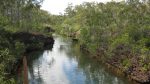
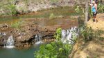
The Goyder River is the only major river crossing which does not have a concrete base or bridge straddling it along the Central Arnhem Highway. There is a small crossing of the Goyder about half a kilometre from the main crossing. The shallowest point at the Goyder in August was around 500mm deep. The middle of the crossing is deeper as trucks have only one way through. Further along there are two more crossings; that of Rocky Bottom Creek and Little Goyder River but they are shallow crossings. The Goyder River has the sweetest water I have ever tasted and we replenished our water supply.
Crossing the Goyder River
After the Goyder River the countryside takes on a greener mantle with many Zamia Palms and Sand Palms growing on the forest floor. The countryside is reasonably flat with only a few undulating hills as you approach Nhulunbuy. We stopped at the Little Goyder River for a spot of lunch and a billy and chatted to some travellers heading back from the peninsula.
Later we came across a vehicle recovery. An older couple had rolled their ancient Range Rover a couple of days before. Luckily they were not injured but the vehicle was a write off. We spoke to the bloke with the tilt tray recovery vehicle and after chit chat he said that The Walkabout Hotel was the only place to stay in Nhulunbuy and that they had recently installed 12 spaces for Camper Trailer travellers. I noticed the Walkabout Hotel insignia on his shirt. We said thanks and drove on. At the 150km (from Nhulunbuy) distance marker the road became worse with mainly potholes randomly arranged so that it was virtually impossible to miss one.
We had stopped a short distance past the Gapuwiyak Community turnoff to let the dust settle of a vehicle ahead of us. Getting out of our vehicle, to have a look at the rich array of flora in the dense forest, we spotted a very small frog on a palm leaf. No bigger than the nail on my little finger the frog was unperturbed by our presence. Research shows that he may be the Northern Dwarf Frog.

Northern Dwarf Frog
Relief from the unrelenting potholes, came, in the form of a wide sealed road, at the Nhulunbuy Airport, some 20 kilometres from the town. Nhulunbuy is a typical mining town, with the necessary infrastructure for a town, sports fields and open parklands and including a shopping precinct. The population is made up of young families and judging by the number of pregnant women seen, a population explosion is about to happen.
We purchased our 7 day visitors permit from the offices of the Dhimurra Corporation and also a Visitors Guide to Recreation Areas of North East Arnhem Land. The receptionist was very helpful but we were out of luck as far as visiting the places which required a Special Permit as they were booked out for the following month. We were happy to explore the other sites available and to have a good look around. Free Camping is permitted in certain General Permit areas and a pamphlet is provided detailing those places and what type of activity is allowed.
In our time in Nhulunbuy we visited all the local beaches and including significant sites. We camped at Buffalo Creek and Rainbow Cliff, Goanna Lagoon. At the coast the sand-flies and mosquitoes were very friendly but we managed to ward them off with necessary chemicals. Our visit coincided with The Gove Festival and places to camp unhindered were at a premium. At the beach we had the places to ourselves but we know why now. We were also able to catch up with distant relatives now working in at Gove and spent a pleasant time with them and a night in an air-conditioned house. That was a bonus as the humidity around the Gove Peninsula was quite high.
-
- Rainbow Beach
-
- Tropical Sunrise
-
- Turkey Bush
-
- Bauxite Beach
-
- Wirraway Beach
-

- Rainforest Track
-
- Rough ride
-
- Giddy River
-
- Giddy Falls
-
- Goyder River
-
- Life from death
-
- Soldier Crab tracks
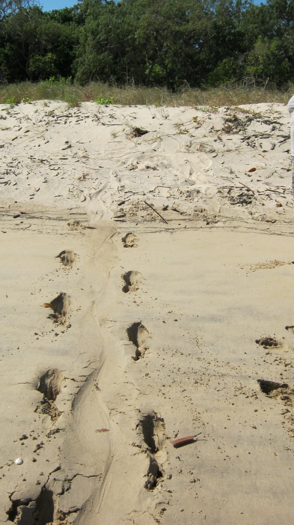
Big Croc slide
Now we made our way back along the potholed road to the 150km sign and then turned off south to Baniyala Community where we paid $50 for a two day camping permit at Dhuluwuy Beach on Grindall Bay. As it turned out we had the place to ourselves for the duration of our stay and one of the highlights of the trip happened there but the cost was a tad prohibitive although there is a new Enviro toilet provided as well as a 1000 litre water tank which was full!
-
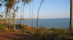
- Grindall Bay
-
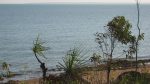
- Big fella saltie
-
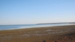
- Dhuluwuy Beach
-
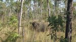
- Buffalo
-
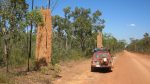
- Tall termite mounds
-
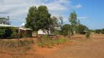
- Banyali Community
-
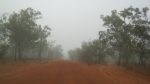
- Morning mist

Dead Prado
Our first night there and Jeddah the dog wouldn’t eat her tucker. So I told her I’d give it to the Crocs and started singing a ditty and calling………”Crocodile, Crocodile, Crocodile’……..and no sooner had I begun when I spied a large log drifting about 100 metres off the shore. Grabbed the binoculars and there it was! Crocodylus Porosus…a 5 metre Saltwater Crocodile…he submerged and then resurfaced only about 50 metres from where we were camped. He took a good look at us…or so we thought…before submerging again into the depths of the bay. I managed a quick photo. We were thrilled with our sighting. The campsite had crows, seagulls, fish-eagles, kookaburras, night herons, tropic birds, and wallabies visiting us.
Slept in the following morning for a change. Jeddah and I went for a walk…then Jude to her again on her walk along the beach while I refuelled from my jerry cans. Even at $1.99 in Nhulunbuy for diesel this was cheap compared with $2.80 at Baniyala! Spent the day reading and computing. Jude cooked a nice tea of sweet and sour pork and then we sat around the fire all dressed in our longs to ward off the bloody mozzies. All in all a relaxing day……we had the place and including the whole bay to ourselves…..
Before we took to the road again the following morning we decided to let tent dry out and went for a walk on the beach. Saw fresh Buffalo poo right near our camp. Once on the road we saw the culprit and shortly afterwards his mate. Saw some Wallabies, Blue Wing Kookaburras and Tree creepers. Motored along to the Goyder River where we replenished our water containers once again with sweet Goyder water. A little while late we stopped for lunch off the road in the shade of a tree. Later we stopped at Gulin Gulin (Bulman) for some cool drinks. We drove in to have a look at Weemol Community and at 3.30pm pulled up in a quarry just west of Mt Stretton. Refuelled, had a wash (shower is busted) had tucker and relaxed. 371km for the day. Lotsa bulldust and corrugations.
Jeddah wanted out of her perch in the wagon in the evening and barked to get our attention. She came and lay against Judith’s bed outside the tent. Later she made it into the tent and lay on Judith’s feet. She was being protective! Then even later she came into the space between us and breathed in my face so I put her back in the wagon. At 1.10am I heard the sound of gravel crunching beneath steps and advancing towards our tent. I sat up and shone the Big 700,000 Candlepower Torch at the noise. A herd of young buffalo was approaching the camp. They scattered at the blinding sight of the light and took off snorting and bleating back to the forest where they complained for a while before moving off in another direction. Things quietened down again apart from the odd braying of Donkeys in the distance.
It was a misty morn along the road and the sun did not appear till late. We called in at Beswick Community and looked at their excellent Cultural Centre. They have a permanent collection of art by the late David Blasani which by far the best Aboriginal art we have seen. David also features in the book Heart of Arnhem Land by Francois Giner. Bought some snacks at the store, and, as we were leaving, we were ‘chased’ out of town by a least 20 Town Dogs trying to get closer to Jeddah who was hanging her head out of the window and barking. Next we had a look at the very neat and tidy community of Barunga which lay a short distance further.
We reached the Stuart Highway just after midday and made for Springvale Homestead in Katherine to retrieve our van which was in storage there and to set up camp for two more nights.
Our Arnhem Land experience was a very pleasing journey and interlude and we may head that way again in the near future to explore other areas of the region.
***********************************************************************************************
Before going to Arnhem Land and to get a better understanding of the peoples of Arnhem Land, I have read the following books and writing:
Journey in Time by George Chaloupka
George Jiří Chaloupka OAM, FAHA (6 September 1932 – 18 October 2011) was an expert on Indigenous
Australian rock art. He identified and documented thousands of rock art sites. As a result of Chaloupka’s work on the sites, a new “definitive chronological sequence to these paintings was developed” providing evidence that Indigenous people had occupied the land for much longer than what was previously accepted by the academic community.
**********************************************************************************************
Why Warriors lie down and die by Richard Trudgen
Richard Trudgen, author of “Why Warriors Lie Down and Die”, was born in Central NSW and did his trade as a fitter and turner. In 1973 he went to Arnhem Land to do voluntary work for 12 months and has stayed for the past 37 years. There he trained as a community worker, learnt the people’s language, and became immersed in their culture and way of life. He is now based in Nhulunbuy (Gove).
He was the CEO of Aboriginal Resource and Development Services (ARDS) for over 10 years, where he established Yolgnu Radio in 2003. He now has his own company, called Why Warriors Pty Ltd, with a vision to empower Indigenous Australians through private clan based business development. The company offers a range of workshops training Indigenous and non-Indigenous people in community development, cross cultural communication, successful education and business models, and traditional laws and politics. Richard also develops health, economic and legal literacy programs for Yolgnu people.
Trudgen is also well known for his insightful ‘Bridging the Gap’ seminar that have been educating mainstream Australians to understand and work with Aboriginal cultures since 2001. He is running another series of seminars across the country in coming months.
********************************************************************************
Heart of Arnhem Land by Francois Giner
In 1974, Francois Giner had his first taste of Northern Australia, not realising that it would be the start of a 36-year sojourn and adventure, far from his hometown of Lodeve, in southern France. As a teenager, Giner had set out to discover new horizons and people. Now he headed across Australia to discover its indigenous heart.
With the blessing of the local Aboriginal community, he established Bodeidei Camp, to receive visitors interested in experiencing something of indigenous culture and country, or others wanting to hunt buffalo. Heart of Arnhem Land shares Giner’s experiences of living and working in this remote region.
Heart of Arnhem Land is a personal journey of discovery and self-discovery, but above all it is a cry for a beloved community whose culture lies on the edge of extinction. Giner’s memoir aims to remind people that those swaying black shadows with haggard eyes crossing streets in Katherine, Alice Springs or Darwin, were once free men, who have been deprived of their bearings and their dreams.
En Terre Aborigene has sold over 15,000 copies in France alone, now this bestselling book is published in English for the first time.
***********************************************************************************************
Tradition, Truth & Tomorrow An essay by Galarrwuy Yunupingu
as published in The Monthly December 2008
I was born in 1948 at Gunyangara, a beach on a beautiful headland near what is now known as Nhulunbuy, in east Arnhem Land. My father was Mungurrawuy Yunupingu, of the Gumatj clan, and my mother, Makurrngu, was of the Galpu clan. My parents gave me the name Galarrwuy, which means ‘the area on the horizon where the sea merges with the sky’. As I grew older my father would call me Djingarra, which means ‘crystal clear’. My elder sisters still call me this special name.
My father’s father was Nikunu. His totem was a sacred rock, an unbreakable rock – Yunupingu – a name that my grandfather gave to his son, Mungurrawuy, who passed it to all his children. My totem is fire, rock and the saltwater crocodile. The crocodile – baru – is a flame of fire: the mouth, the teeth and the jaw are the fire and its jaw is death. It is always burning, and through it I have energy, power – strength.
My land is that of the Gumatj clan nation, which is carefully defined, with boundaries and borders set out in the maps of our minds and, today, on djurra, or paper. We have our own laws, repeated in ceremonial song cycles and known to all members of our clan nation. Sung into our ears as babies, disciplined into our bodies through dance and movement – we have learnt and inherited the knowledge of our fathers and mothers. We live on our land, with our laws, speaking our language, sharing our beliefs and living our lives bound together with the other great clan nations of the Gove Peninsula: Rirritjingu, Djapu, Wanguri, Djalwong, Mangalili, Malarrpa, Marrakulu, Dartiwuy, Naymil, Gumatj, Galpu, Djumbarrpiynu, Dhudi-Djapu.
These are the 13 clans of the Gove Peninsula, in east Arnhem Land. Each is independent and proud; each is bound to the others through the moieties of Yirritja and Dua. I am Yirritja and my clan is balanced by the Dua clans, my mother groups, most importantly the Galpu, Rirritjingu and Marrakulu clans.
The clans of east Arnhem Land join me in acknowledging no king, no queen, no church and no state. Our allegiance is to each other, to our land and to the ceremonies that define us. It is through the ceremonies that our lives are created. These ceremonies record and pass on the laws that give us ownership of the land and of the seas, and the rules by which we live. Our ceremonial grounds are our universities, where we gain the knowledge that we need. The universities work to a moon cycle, with many different levels of learning and different ‘inside’ ceremonies for men and women: from the new moon to the full moon, we travel the song cycles that guide the life and the essence of the clan – keeping all in balance, giving our people their meaning. It is the only cycle of events that can ever give a Yolngu person – someone from north-east Arnhem Land – the full energy that he or she requires for life. Without this learning, Yolngu can achieve nothing; they are nobody.
As a clan we seek that moment in the ceremonial cycle where all is equal and in balance. Where older men have guided the younger ones and, in turn, taken knowledge from their elders; where no one is better than anyone else, everyone is equal, performing their role and taking their duties and responsibilities – then the ceremony is balanced and the clan moves in unison: there is no female, no male, no little ones and no big ones; we are all the same.
My inner life is that of the Yolngu song cycles, the ceremonies, the knowledge, the law and the land. This is yothu yindi. Balance. Wholeness. Completeness. A world designed in perfection, founded on the beautiful simplicity of a mother and her newborn child; as vibrant and as dynamic as the estuary where the saltwaters meet the freshwaters, able to give you everything you need.
I step back to the 1950s. I am a small boy, maybe eight years old, able to tell the difference between right and wrong. An event is to take place at Yirrkala and members of the 13 clans are called together. Every man, woman and child is given clean clothes and dresses for the occasion, and they come together with pretty flowers in their hands, dressed up cleanly. All are told to stand in a line, from the bottom of the hill to the top of the hill, to greet the chairman of the board of the Australian Synod of the Methodist Church. And he arrives in a four-wheel-drive with other people who jump out of their cars and are received by the local people. I remember this occasion perfectly well. We just stood there for show, dressed prettily, holding pretty flowers, to give a so-called welcome to the Methodist Church. The vehicles came to rest, the dignitaries got out, they received their flowers, they smiled, then they left and that was that. The clan leaders stood there expecting something that would acknowledge them and respect them, an exchange or a gift in return – but they received nothing. We were badly caught up that day and a poor example was set.
Now it is the early 1960s and a man called Harry Giese, the so-called protector of Aborigines in the Northern Territory, stands on a 44-gallon drum at the Yirrkala airport. He has called some people together to give them news – I am one of those people; my father is there also; Roy and Mawalan Marika; the Djapu leaders, too. A mine will be built here at Yirrkala, he tells us. It will mine the dirt that we stand on – our soil. The mining companies are coming and they will mine the land. They will take all the land and the boundary of that land will run to the edge of Yirrkala, and Yirrkala will be badly affected. Giese talks for 20 minutes, then he gets in his car and drives away. This is the first mining agreement on the Gove Peninsula.
My father sent me to school, although he worried that I might lose my Gumatj identity. I had a good teacher, Mr Ron Crocksford, who kept pestering Mum and Dad to keep me at school and who worked overtime on my learning. As I received my education from my clan leaders and from the balanda teachers, I watched as the world changed. Inevitably the miners came and started their work.
As I grew up I was recognised and set apart by my father. He set out tasks for me and challenged me in everything. I went to Bible college in Brisbane for two years but I returned always to the ceremonies and the law – in the end, I turned my back on the church and their god. I dedicated myself, under the direction of my father and the older men, to a Yolngu future.
It is 1977. My father is still alive and I am on a boat with a new prime minister, Malcolm Fraser. He has defeated Gough Whitlam, who first met my family when he was a pilot in World War II. With me is Toby Gangale, the senior Gundjehmi leader, steering us to a place where barramundi swim. Fraser has asked us to fish with him, and we hope there are words we can say to him that will halt his changes to the land-rights laws and overturn the government’s decision to mine at Ranger. But Fraser only thinks about the fish. The fish bite and Fraser starts to pull them in. “Look at this one!” he yells. I bait his line again. Toby is silent. “And again – a bigger one.” He baits his own line now – getting the hang of it. “You beauty, a barramundi!” All the time I try and put words in his mind about the importance of land, about the importance of respect, about giving things back in a proper way, not a halfway thing. But he has his mind on other things – he’s not listening; he doesn’t have to. He just keeps catching barramundi, enjoying himself.
On his deathbed, as his spirit started its journey to Badu, the spirit land, my father handed me his clapsticks and his authority. My senior family members saw the passing and told of it throughout the clan nations – it was the news of the day in the Yolngu world. It was 1979 and I was 31 years old. The year before I had been awarded an honour by the Australian nation: I was their Australian of the Year. I was the chairman of a new land council, the Northern Land Council, soon to be the most powerful in the nation. I had negotiated with prime ministers and men of state. I was a singer and a songwriter, a dancer and a painter. I had my father’s clapsticks and with them I was sure that I could master the future.
I am with another new prime minister, Bob Hawke, at Barunga. Many clans, connected by distant but powerful songlines, have performed ceremony for this prime minister. It’s 1988 and I’ve known Bob Hawke for many years. He had come to the Northern Territory to visit me when he was the president of the ACTU and, over a beer in Anula, I had told him that he had the common touch and that one day he would be the prime minister. At Barunga he is emotional and I am emotional as we embrace on the ceremonial ground. This is how it should be, I think. And I hear his words that there will be a treaty. A treaty! My heart leaps.
A few years later I travel to Canberra to hang a painting that was dreamed on that day: the Barunga Statement. I think that I am in Canberra for a celebration but it is a funeral – it is Bob’s last day as prime minister and he sheds a tear as he hangs the painting. I am sure that his tears are for his own failure – we have no treaty; his promise was hollow and he has not delivered – but they are genuine tears from a genuine man who tried leadership and was caught out by politics.
It is 1994. Mabo has been and gone and is now a soft, useless law. At Eva Valley in 1993 I sat with many clan leaders from the North, and we talked about Mabo and set out our position. No one listened; there was too much talk going on in Canberra; I didn’t see any landowners there negotiating, only big talkers. Then I see on television the politicians in parliament crying and kissing each other. What is this? I think to myself.
I wonder about Paul Keating, a prime minister I never really met – if anyone could have done something, surely Keating could’ve, I think.
We’re celebrating the twentieth anniversary of the Land Rights Act at the Old Parliament House. There is a new prime minister, John Howard, who has just been elected and he is looking to deliver something to the new Australian people. I am sitting at breakfast and I hear a radio tell me that the prime minister has taken millions of dollars of funding for housing and community programs. He is sending auditors and investigators to check us all out.
Later I sit at a long table, talking about ‘reconciliation’. Treaty has become reconciliation. There is all this talk about nothing. It is not connected to the real goings-on. Eventually I can’t stand it any longer. I get up and leave the talkers to their talking and go back to Arnhem Land. Later, I send in my letter of resignation.
I am seeing now that too much of the past is for nothing. I have walked the corridors of power; I have negotiated and cajoled and praised and begged prime ministers and ministers, travelled the world and been feted; I have opened the doors to men of power and prestige; I have had a place at the table of the best and the brightest in the Australian nation – and at times success has seemed so close, yet it always slips away. And behind me, in the world of my father, the Yolngu world is always under threat, being swallowed up by whitefellas.
This is a weight that is bearing down on me; it is a pressure that I feel now every moment of my life – it frustrates me and drives me crazy; at night it is like a splinter in my mind. The solutions to the future, simple though I thought they were, have become harder and harder to grasp. I have learnt from experience that nothing is ever what it seems.
It is 2007. I am at the Garma Festival, surrounded by Aboriginal leaders from around Australia. They have come to meet me at my request – a challenge has been laid down by the commonwealth government, called an intervention.
John Howard is leading a government that is taking this hard action. I have been told that my land rights will be taken away and for me that is the end – for weeks now I feel a sickness creeping into my body; I have hardly slept in the past week. The Labor Party is with Howard. I meet Jenny Macklin. It is clear to me that she has her instructions. I think about the old people in their clean clothes holding flowers and, under a bower shelter, I am hard on Jenny with words like fire, but she does not budge. I throw my all at her; my sisters speak to her in language, I interpret, as does my favourite niece, the late Ms Marika, but she will not budge – she cannot.
That night I carve message sticks with my daughter, asking for a meeting with John Howard and Kevin Rudd at Garma. I reason that this must be the next step – to bring them to Aboriginal land for the clan nations to address them. Not with flowers, but with spears if need be. The other leaders fight over who will carry the sticks: I want my friend Jack Thompson to take the sticks, but others want to take on this task. I make a mistake – I empower others to speak for me. A delegation goes to Canberra but they do not meet with Howard or his minister, Mal Brough. Rudd agrees to meet with us, but he is steered away from Garma and the clan nations. Later, I hear that Jenny had booked her ticket to Garma to meet again with us but the meeting was foiled.
The ALP caucus convenes and they vote to support Howard, with a bit of lip service for good measure. I wait until late into the night, still camped at Garma. When I receive the news about the caucus decision, I ask to see Noel Pearson.
I’m back at Gulkula, the Garma site. Noel Pearson has come and he tells me about his vision. He seeks a balance in the balanda world in its treatment of Aboriginal people. A synthesis, he calls it, between Left and Right. Only when we have this balance can we go upwards, he tells me. He speaks my language but I am not yet convinced. Messages come to me from other leaders from outside east Arnhem Land and they say: Wait – Kevin Rudd will win the election. But this time I decide I won’t play that game and be captured by one side of politics; I will stand in the middle if I can. I ask Noel to contact Mal Brough. I realise that my land rights have not been taken away, and I wonder about those who refused to meet with Brough and kept Rudd away from me. I want in on this discussion: I want to meet this man who has made such a noise and who says such incredible things, to see what he is really made of.
Mal Brough came and he drove out to meet me. I waited for him at the place of my fathers, Dhanaya. I waited for Mal on my father’s land, looking over my mother’s clan’s waters – surrounded by memory and feeling. This is a place where freshwater, stirred up by the sacred stingray, meets saltwater. It is a rich, vibrant place, full of life. And for a fleeting moment, on this land, overlooking Port Bradshaw, with my family around me, we talked as men should – about the future of children and of failures and frustrations, and how we could turn it all around with action. He was frustrated and I was frustrated, and as fathers and leaders we saw a way forward. He talked straight and I talked straight, and each of us would honour our end of the discussion. We negotiated a lease that left me in charge of my land at my birthplace of Gunyangara – more in charge than I had ever been – while giving Canberra everything it wanted in terms of security and certainty. I supported his bans on drugs and kava, and promised him my support for the harsher parts of his plan if he could balance these measures with proper action. And I asked for one more thing: I wanted constitutional recognition, to bring my people in from the cold, bring us into the nation. There was a promise that he would talk with his prime minister.
*
Today, almost 30 years after my father passed away, I still hold his clapsticks and I am the leader of my clan – with other senior family members I am the keeper and teacher of our song cycles, our ceremonies, our laws and our future. I care for and protect my clan. But I have not mastered the future. I find that I now spend my days worrying about how I can protect the present from the future. I feel the future moving in on the Yolngu world, the Gumatj world, like an inevitable tide, except every year the tide rises further, moving up on us, threatening to drown us under the water, unable to rise again. The water sands under our feet shift and move so often – the land to which we can reach out is often distant, unknown.
I look around me at the Yolngu world. I worry about the lives of the little ones that I see around me, including my own children – my youngest daughter is barely eight years old. I have more than a dozen grandchildren. I look back now on a lifetime of effort and I see that we have not moved very far at all. For all the talk, all the policy, all the events, all the media spectaculars and fine speeches, the gala dinners, what has been achieved? I have maintained the traditions, kept the law, performed my role – yet the Yolngu world is in crisis; we have stood still. I look around me and I feel the powerlessness of all our leaders. All around me are do-gooders and no-hopers – can I say this? Whitefellas. Balanda. They all seem to be one and the same sometimes: talking, talking, talking – smothering us – but with no vision to guide them; holding all the power, all the money, all the knowledge for what to do and how to work the white world. Only on the ceremonial ground do our leaders still lead – everywhere else we are simply paid lip service. Or bound up in red tape.
And the ‘gap’ that politicians now talk of grows larger as we speak, as I talk: as the next session of parliament starts or as the next speech is given by the next politician, the gap gets wider. I don’t think anyone except the few of us who have lived our lives in the Aboriginal world understand this task that is called ‘closing the gap’.
There is no one in power who has the experience to know these things. There is not one federal politician who has any idea about the enormity of the task. And how could they? Who in the senior levels of the commonwealth public service has lived through these things? Who in the parliament? No one speaks an Aboriginal language, let alone has the ability to sit with a young man or woman and share that person’s experience and find out what is really in their heart. They have not raised these children in their arms, given them everything they have, cared for them, loved them, nurtured them. They have not had their land stolen, or their rights infringed, or their laws broken. They do not bury the dead as we bury our dead.
*
I am a Gumatj man; I am fire; and that fire must burn until there is nothing left. That is what I have left to give to my family.
The future is my responsibility. I have brought my family back around me, taking what we can from where we can, working with people who will help us practically and in an honest way.
I have started to rebuild Garrathiya, our cattle station near Dhanaya, which sat still for many years. New yards are being built, fences are being fixed, weeds are being sprayed and a dormitory has been constructed out of local timber. Fifteen of the clan’s young men are at Garrathiya or Dhanaya.
We are now harvesting our trees, carefully picking the trees; we have set up a mill and are cutting our own timber. With this timber, grown from our land, we are starting to build our own houses. No one in government has come to my aid, but that is OK – that is the way it should be. We will keep building these houses with our own timber, our own labour and with help from those who wish to help us. My family tells me that now they will build a market garden to grow food at Garrathiya, and my nieces have started their art again, asking me to help them buy materials for their efforts. My big sister, Gulumbu, has a healing centre and is teaching young girls while treating balanda women.
I am finally in formal negotiations with the mining company Rio Tinto, which inherited Harry Giese’s mining agreement and whose predecessors took so much from our land – billions of dollars – leaving us very little. I have worked with their senior people and committed to a new deal that will, hopefully, bring greater economic opportunity for east Arnhem Land.
I have purchased a fishing boat with our royalty money and hope this will be a pathway to a fishing industry. I am leasing my land and putting that money towards these enterprises. I plan a property development, a marina, a new town built by Yolngu on Yolngu land.
This is about building our own lives, our own communities. If I can’t give that opportunity to my clan, no one else can. What they achieve will be for them, out of their hard work, for their happiness and security – not for some outsider.
It’s July 2008 and I wait for the new prime minister, Kevin Rudd. An event is taking place at Yirrkala and I have called the leaders of the 13 clans together. No children or young people will participate, only leaders, men and women who have proved themselves: delak. By my side are Djinyini Gondarra and the leaders of the Elcho clans, Richard Ganduwuy and Dunga Dunga Gondarra, Butharripi Gurruwiwi. Wilson Ganambarr, Gali Gurruwiwi, Gekurr Guyula and Timmy Burrawanga are there. Laklak and Dhuwarrwarr Marika are there, too, along with the great old man from Gan Gan, Garrawan Gumana. My cousin Banambi Wunungmurra brings the prime minister down to us. We have a petition for him.
“Nhanaburru, wangkanmala bapurru dhimirrunguru, arnhemland, nganaburrungu ngurrngu delak mala, nganthun yukurra nhuna 26th Prime Minister Australia-wu. Nhukala ganydjarr’yu nhunhi nhe ngurrungu walalangu malangura nhuma walala rrambangi, Australian Parliament-ngura, ga ngurrungu Dharuk-mirri nhangu Garraywu Queen Elizabeth-gu, yurru nhandarryun-marama djinawa-lili Australian-dhu luku-wu rom-dhu yurru dharangan ga galmuma nganapurrungu dhangang ga bukmak nha-mala nhanapurrungu:
– Nhanapurrungu walnga-mirri dhukarry ngudhudal-yana.
– Nhanapurrungu, wanga, wanga-ngaraka ga nguy gapu, ngunhi dhimirrunguru, arnhemland.
– Dharrima gungnharra, warkthunara, lukunydja rrupiya-yu wanga-wuy-ga gapu-wuy ga dhangangnha-yana ga lukunydjana yana.
– Dharray walnga-wuy ga djaka yurru nhanapurrung-gala-nguwu djamarrkuli-wu yalalangu-wu.
Dhuwalanydja rom dhuwalana bilina.
Dhuwalanydja rom wawungu wanga-wuy ngandarryunmarama Australian-gala bapurrulili.
Nganapurru marrliliyama nhukula ngurru-warryun-narayngu, marr yurru Commonwealth Parliament ngurru warrwun ga dharangan dhuwala rom ga marryuwak gumana dhayutakumana lukunydja rom.
We, the united clans of East Arnhem land, through our most senior delak, do humbly petition you, the 26th Prime Minister of Australia, in your capacity as the first amongst equals in the Australian Parliament, and as the chief adviser to Her Majesty Queen Elizabeth the Second, to secure within the Australian Constitution the recognition and protection of our full and complete right to:
– Our way of life in all its diversity;
– Our property, being the lands and waters of East Arnhem land;
– Economic independence, through the proper use of the riches of our land and waters in all their abundance and wealth;
– Control of our lives and responsibility for our children’s future.
These rights are self-evident.
These rights are fundamental to our place within the Australian nation.
We ask for your leadership to have the Commonwealth Parliament start the process of recognition of these rights through serious constitutional reform.”
The ceremonial ground is prepared by the Dua clan nations, ready for the Yirritja. The Gumatj clan nation performs for the prime minister a special ceremony: gurtha – fire. The men move in unison – all perfect, all equal, all united. There is thunder overhead, and rain, and we become one. My brother Manduwuy’s wife, Yalmay, of the Rirritjingu clan nation, reads the petition to the assembly in language. Her voice is strong and beautiful. The children of Yirrkala gather and take the petition to the prime minister and he welcomes it, holds it, and admires the design. He shakes my hand. The ceremony finishes and I leave Yirrkala.
*
Knowing these things might help readers to understand that the Northern Territory emergency intervention – any government intervention or program, while well intentioned and even when backed by money – will not fully solve anything. The intervention has simply started a process that, if the history I know is any guide, will end up failing. Not because of the reasons given by those well-meaning people in the cities, or those that have made a life out of being in the Aboriginal industry, or those who study, analyse and explore our lives. The intervention is good for these people – black and white – because it gives them oxygen, so they can show their importance and expertise. You must not listen to these people; they have let their ignorance get in the way of their thinking. The truth is, the intervention is about the welfare economy and the relationship between governments and Aboriginal people, and any good is fading as the old ways of doing business are reasserting their dominance. Soon even the talk will stop – there will be no more interest – and it will just be red tape again, business as usual.
I have a letter from Jenny Macklin about the lease that I negotiated with Mal Brough and Dr Peter Shergold, but there is no urgency there anymore. When I read it, I felt like dropping it to the floor. I want certainty and a solid foundation but I sense that the public servants, so-called, do not like my lease, never did. They want me to talk to them – to give them their power back. They hated that I talked with a minister or a prime minister, or that the new minister thinks I might have some important things to say. These red-tape men don’t like my lease, because it leaves the power with Yolngu and they only know power from Canberra, or Darwin. They have us tied up in red tape at every level, and the minister too, I think.
Today, nearly all my people live in shambling, broken-down places with poor houses, poor roads, bad schools, little or no health care, with whitefellas in a welfare industry who service us when they can, if they want. We are captives of welfare, which means we are wards of the state relying on handouts from public servants to get by, and therefore our lives are controlled by governments and public servants who can do what they want, when they feel like it. And people suffer from their neglect – just look at our communities and the lives too many of our people are forced to endure. Although the wealth of the Australian nation has been taken from our soil, our communities and homelands bear no resemblance to the great towns and metropolises of the modern Australian nation. The intervention and what it promises is important. I do not set it aside completely. But I tell my family now: no government, no politician, no journalist or TV man, no priest, no greenie, no well-meaning dreamer from the city is going to put your life right for you. I have committed my clan to the future and my family supports me, even as it struggles with everyday life. And I will continue this commitment.
I will continue my work on my land, building a future. It is the only thing that is certain to me now and I want to advance while I can. I am trying to light the fire in our young men and women. We are setting fires to our own lives as we really should, and the flame will burn and intensify – an immense smoke, cloud-like and black, will arise, which will send off a signal and remind people that we, the Gumatj people, are the people of the fire. This will draw the other clan nations, all of which are related to the fire: the Blue Mud Bay people, all the way through to the people as far off as Maningrida. There are people of the fire around Alice Springs – and I reach out to them, too. We can then burn united, together.
Hells Gate Pass 2012
It is but a stone’s throw out of Alice Springs but once you leave the verge of The Old South Road and round the corner in past Pinch Bore, you may think that you have left civilisation as you know it and that you are now in really remote country.
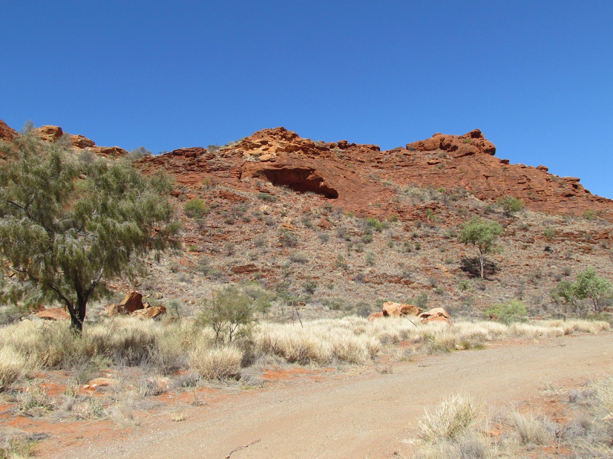
Ooraminna Range
On a typical winter day in Central Australia we ventured once again in search of Hells Gate Pass. The pass lies in the Ooraminna Ranges and is part of what has been Deep Well Station for many years. The pioneering Hayes family arrived in 1884 with horses and bullock teams loaded with steel telegraph poles to replace the original wooden poles on the Overland Telegraph line. They took up the Deep Well Station lease and it is still theirs today. The 450, 000-acre property is situated between the MacDonnell Ranges and the Simpson Desert and it boasts magnificent red sand hills, weathered rocky outcrops, and a profusion of plant and wildlife.
We had obtained permission from the station owner to access the area and armed with a packed lunch, some cold drinks and my trusty GPS mapping we set off in the Discovery for a day in the bush. For once in a long time, I was now the passenger hanging on to grab handles so as not to bounce out of my seat.
Driving along a short distance past the Alice Springs Airport and the Old South Road we remarked that the road was in quite good condition. We had not been this way for many years and were surprised to find the Ewaninga Art Site, now on our left instead of as we remembered it, on our right. Ha! They must have built a new road. Sure enough they had. The (old) Old South Road had become too dangerous as continuous grading and flash floods during the summer seasons had cause the road to wash out to a depth up to two metres in places and unsuspecting tourists found themselves in dire straits during one of the flash floods.
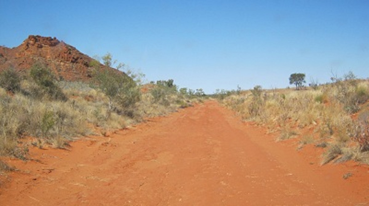
Old South Road
Closer to Mount Ooraminna we had to find a track crossing over to the old road so that we could find the station track to Pinch Bore. The latter bore lies within s mall pound and the next watering point for stock is some eight kilometres away through the range.

A stony rise
There were no watering points towards the markets in Alice Springs around the range to the west and the small pound around Pinch Bore was surrounded by flaky sandstone ridges making it impossible for cattle to be driven out of the pound to the north. So the station owners decided to cut a short pass through the sandstone using rudimentary tools and dynamite and it must have been quite a task as the place became known as Hells Gate Pass. This pass would also serve as a gateway to the Arltunga Goldfields, where sales of meat on the hoof to the hungry miners was at a premium. At the entrance of the pass the words written in charcoal states ‘Jack Gowan..Stuck Here’. The sandstone base has been worn out into track grooves over the years from the various vehicles spinning wheels over it.
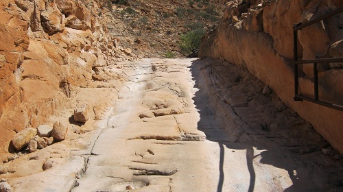
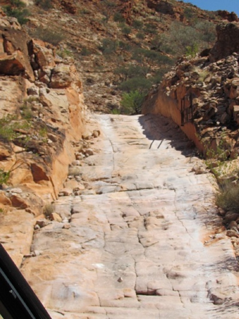
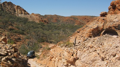
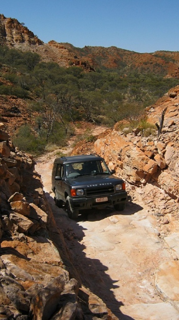
Further along to the north of the pass, a ridge of granite protrudes out from the surface of the valley and in accordance with the reference to Hells gate it is known as Devils Wall. Strange intricate rock art figures may be seen on some of the weathered surfaces of the rock and a rock on the ground showed where spears had been sharpened over time.

Ancient Art

Spear grooves
Once out of the valley the country opens up to some low hills and Hells Gate Bore comes into view. At that point I saw what looked like a bulldozer blade scar running up one of the hills nearby. We looked through the binoculars and then tried to get to it but we were thwarted by fences on either side. The scrape will remain a mystery until explained by someone who knows.
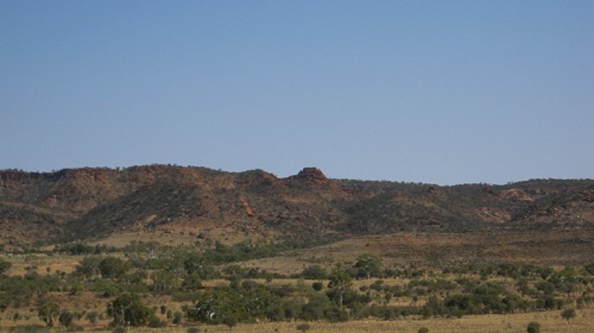
Mystery Track
Leaving Hells Gate Bore we crossed over a deep dry creek and saw another track heading straight up a hill in the distance. So off we went to investigate this one. It became evident that it was much steeper and rougher driving on that anticipated and Low Range gearing was needed. The Discovery did well however over the stones even though it is shod with street tyres. Once at the top the track came to its end. The vista from there is spectacular looking over the plains towards Yam Creek and the Santa Theresa Community. A short winding track took us back to the bottom of the hill. We can only surmise that some of these later tracks had been put in when the station was running tours of the station out of the Ooraminna Bush Camp.

Track to nowhere
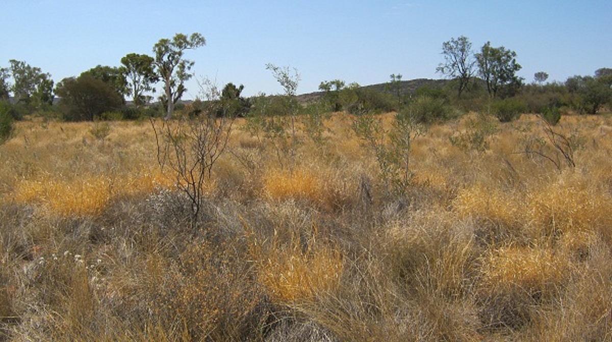
Desert fringe Winter colours