Self ..Great Dividing Range ..Dirt Tracks North ..Centre Bush Tracks ..Farina to Hawker Gate ..Ylalya / O’Grady’s Well ..The Datto’s Last Ride
Self
My condition for my back and neck deteriorated and I went to see a local GP in January of 2014. What followed was a 7 month saga of seeing a different Locum every time I went to the clinic and getting nowhere near the correct medicines. I had a Cat-scan done and the principal doctor of our clinic reluctantly referred me to nerve specialist in Adelaide. On 4th July 2014 I was put on a waiting list at the Royal Adelaide Hospital for an appointment with a spinal specialist, which, by all accounts, is 3 years of waiting ones turn.
I battled on with what medicines I had been given. The pinched nerve in my neck caused my whole upper body to feel as if I had sunburn. I carried on going about my business of getting around and doing things but life was uncomfortable. I was using my Staff to counter my balance as this also seemed affected. I was having falls. Once I tipped my weight at the wrong angle I would fall. On occasions I would hurt myself but generally the falls were not too bad.
On top of my health issues we were caring for Judith’s Mother who was now 91 years of age with Dementia but in a lovely aged care facility, Bangalor Reteat, a few hundred metres south of the Tweed River in Northern New South Wales. Judith was her Carer and Administrator of her estate. By careful investments Judith increased her mother’s estate by 40% in the 7 years of her administration.
Judith’s Mother, Edith,passed away on 11th March 2014 at the age of 91 years and 7 months. We took the X-trail and trailer and set off for Queensland. At Wilcannia all the fuel stations were closed by 9.00pm and we would have been stuck there had it not been for the Manager of the golf-course whose son siphoned some petrol out of his Government car to help us out. We drove through the night being confronted by mobs of Red Kangaroos just sitting on the road. We got to Glen Innes by nightfall and had a good night’s sleep before going on in the morning. We manged to fit everything except for the bed and the old television set in the trailer and after the funeral we went back home taking three days to get there.
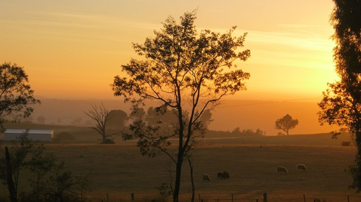
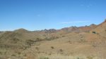
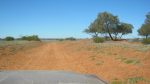
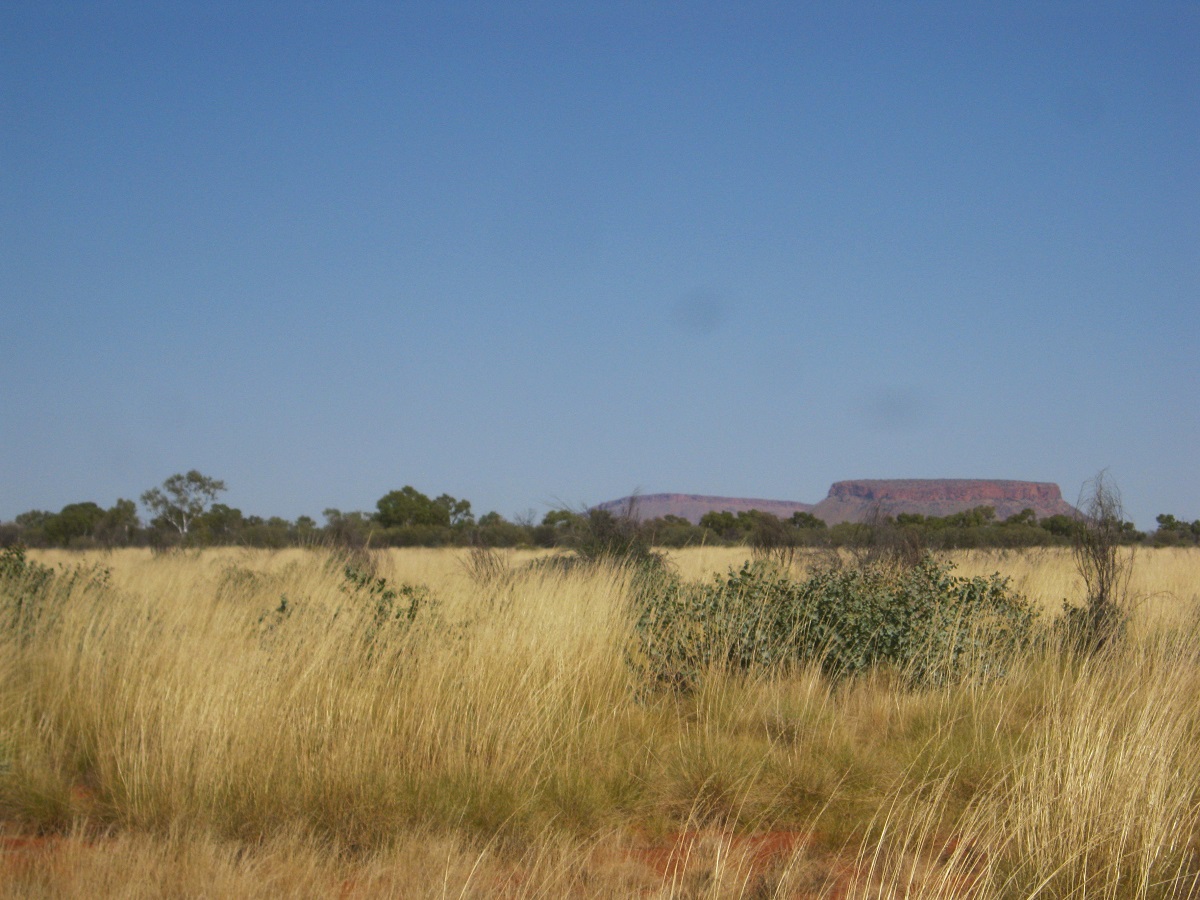
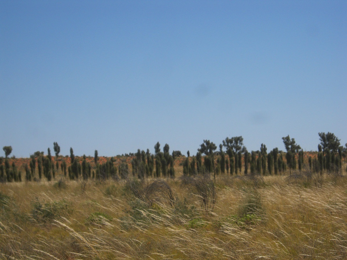
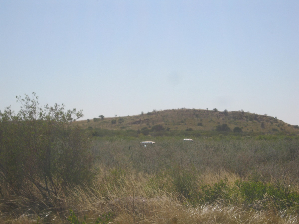
Great Dividing Range 2014
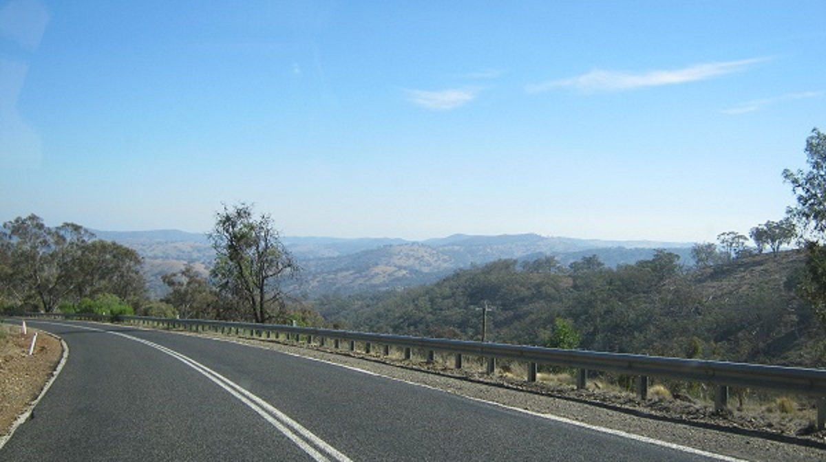
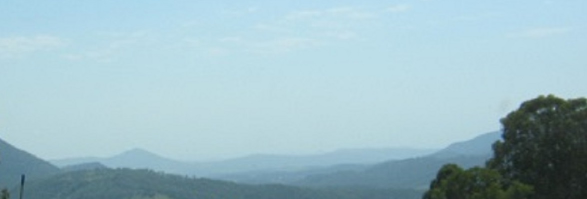
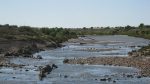
Looking along the range
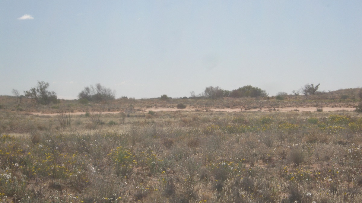
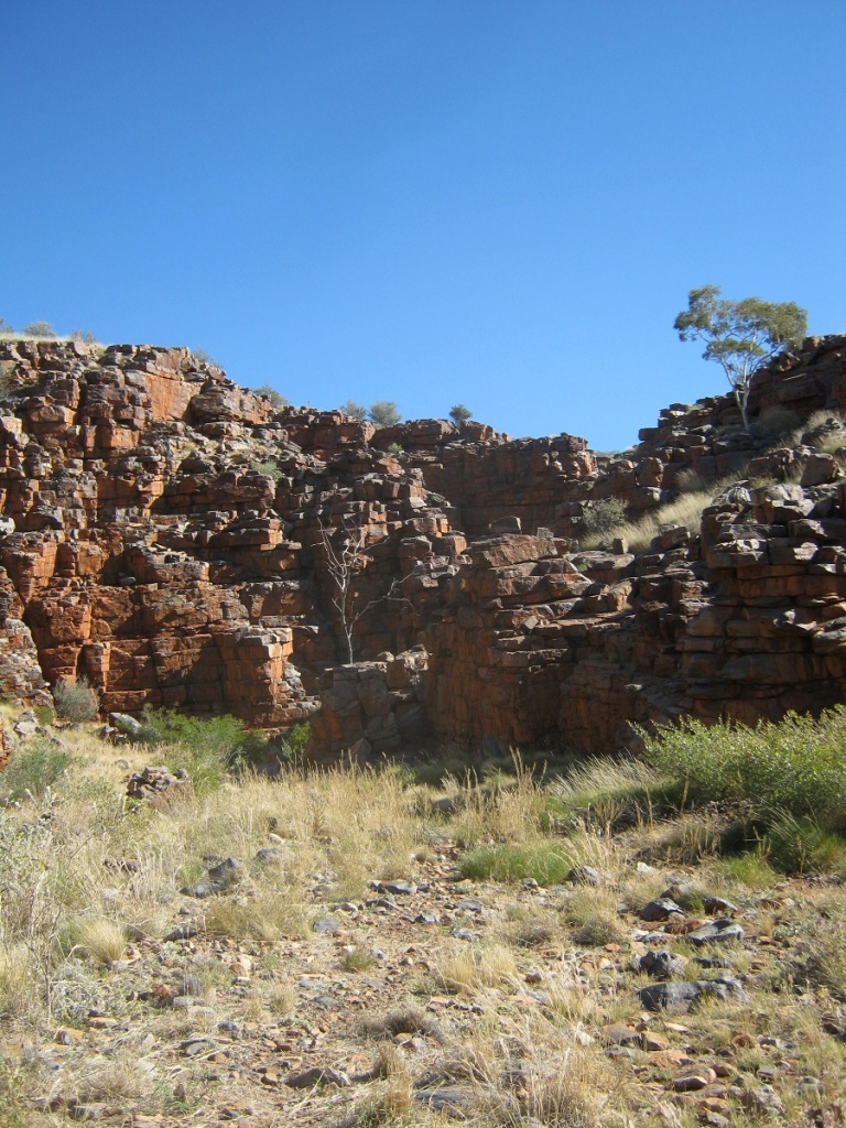
In the great flatness of the Australian Mainland, the Great Dividing Range, is Australia’s most substantial mountain range. The range stretches more than 3,500 kilometres, running the entire length of the eastern coastline before turning west and finally fading into the central plain at the Grampians of Western Victoria. The width of the range varies but can be up to 300km wide in places. The Great Dividing Range was formed during the Carboniferous period—some 300 million years ago. The sharp rise between the coastal lowlands and the eastern uplands has affected Australia’s climate, and these areas of highest relief have revealed an impressive gorge country.
The Dividing Range does not consist of a single mountain range. It consists of a complex of mountain ranges, plateaus, upland areas and escarpments with an ancient and complex geological history. In some places the terrain is relatively flat, consisting of very low hills. The highlands range from 300metres to 1,600metres in height and have been created by faulting and folding processes.
The crest of the range is defined by the watershed or boundary between the drainage basins of rivers which drain directly eastward into the Pacific Ocean, or southward into Bass Strait, and those rivers which drain into the Murray-Darling River system to the west. In the north, the rivers on the west side of the range drain towards the Gulf of Carpentaria.
Aboriginal tribes roamed these ranges for thousands of years and there remains in some places, records of their occupation by decorated caves, campsites and trails used to travel between the coastal and inland regions.
After European settlement in 1788, the ranges were an obstacle to exploration and settlement by the British settlers. Although not high, parts of the highlands were very rugged. Crossing the Blue Mountains was particularly challenging due to the mistaken idea that the creeks should be followed rather than the ridges and almost impenetrable sandstone mountains.
In 1813, a usable route was finally discovered directly westward from Sydney across the Blue Mountains to by Gregory Blaxland, William Lawson and William Wentworth. They found a passage by following the top of a ridge. Towns in the Blue Mountains were later named after these men. This was the start of the development of the agricultural districts of inland Australia.
Later explorations were made across and around the ranges by Allan Cunningham, John Oxley, Hamilton Hume, Paul Strzelecki, Ludwig Leichhardt and Thomas Mitchell. These explorers were mainly concerned with finding good agricultural land.
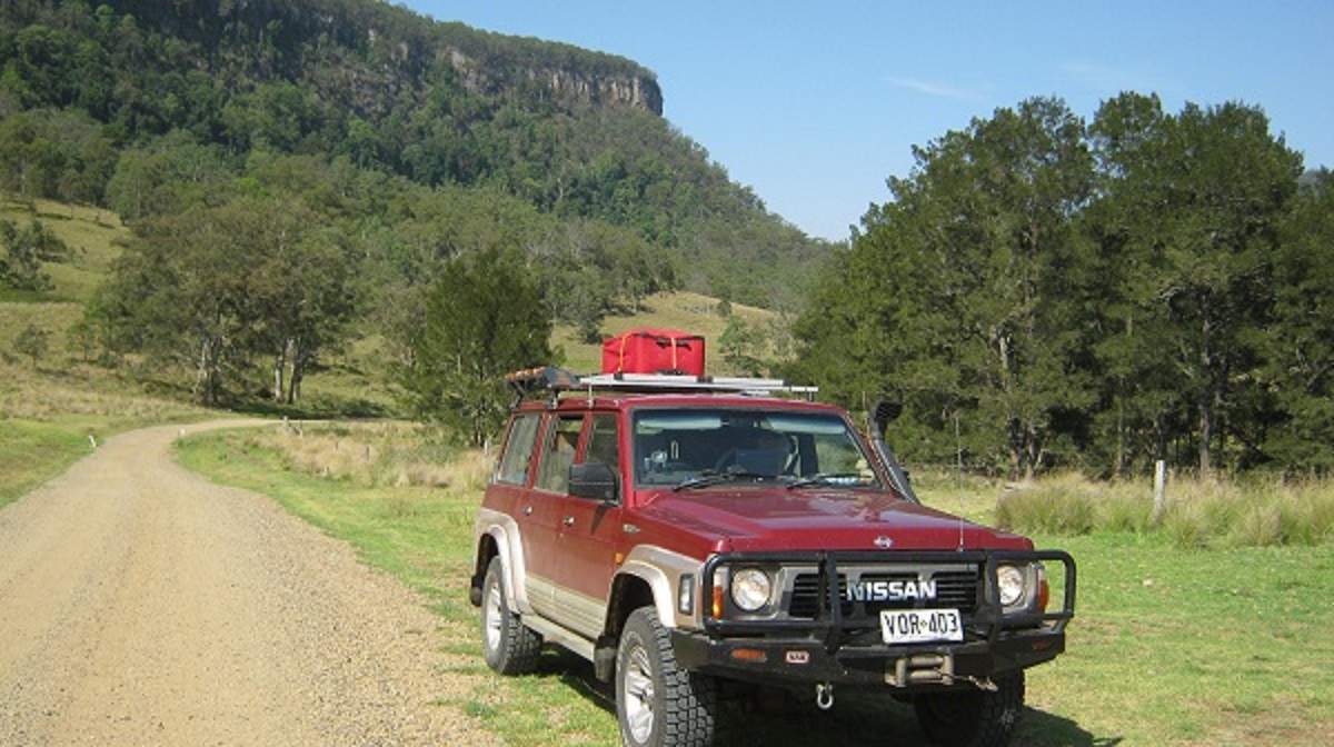
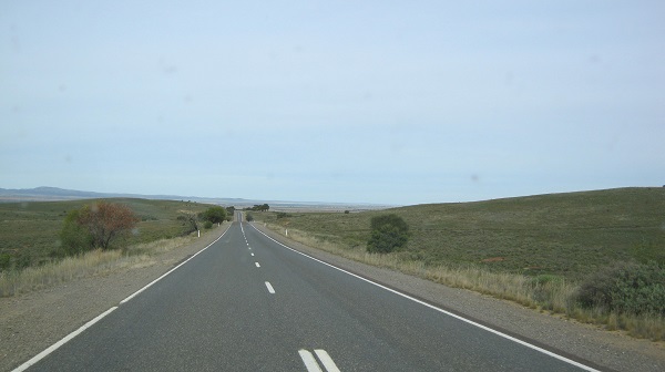
We have criss-crossed the Great Dividing Range on many occasions over the past decades but this time it was slightly different as we followed along the ranges in a northerly direction.
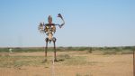
We left Queanbeyan in the early morning along the Sutton Road and then connected up with the Federal Highway which skirts Lake George en route to Goulburn. At the small village of Collector, I just had the urge to go and have a look and found this amazing sculpture
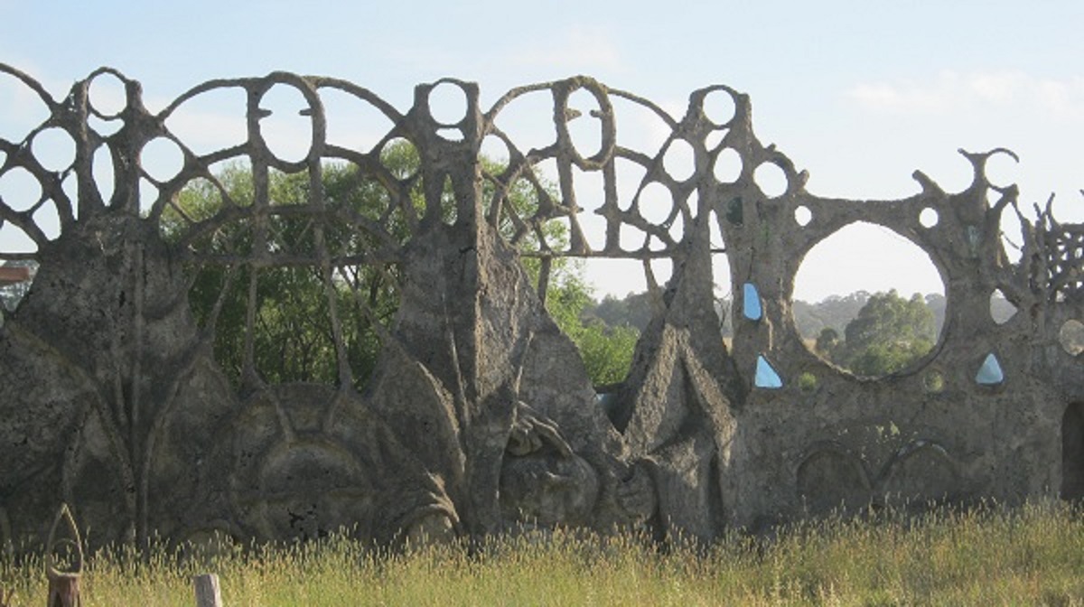
Dreamers Gate
Dreamers Gate by Tony Phantastes was built between 1993 and 1997 to commemorate, among other things, his father’s life. A Gothic structure of cement and chicken wire, the artist and the Gunning Shire Council have been in constant battle regarding the structure for many years. The land which the sculpture stands is now for sale and the sculpture itself under demolition orders. Why are some councils so short sighted?
Goulburn was Australia’s first inland city. Now, with a population over 20,000 it services the nearby sheep and grain farming districts. It was established in 1825.
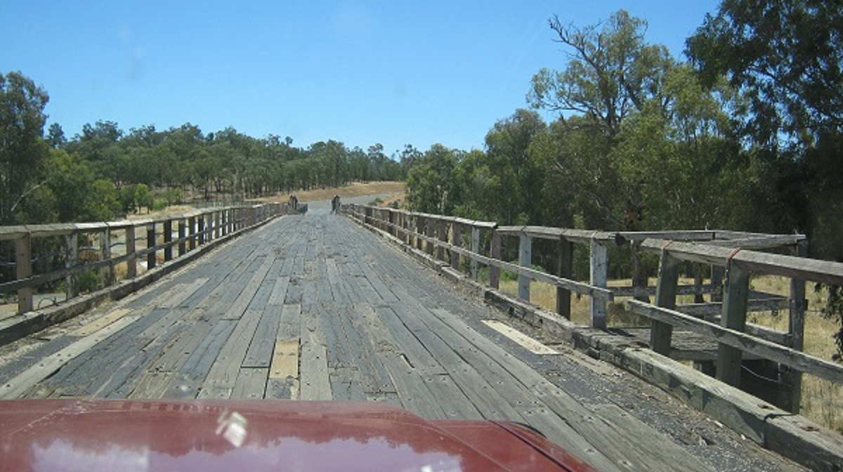
Old bridge north of Goulburn
Our journey now took us along undulating country through the towns of Crookwell, Tuena, Abercrombie and Trunkey Creek. I needed to change the front brake pads on the Datto and was looking for an open workshop along the way…but it was New Year’s Eve and everyone had left for greener pastures. So I had to drive very carefully using gears to slow the speed, down steep inclines.
At a small rest stop down a backstreet of Crookwell we found this lovely sculpture of a Platypus made by a man and his chainsaw
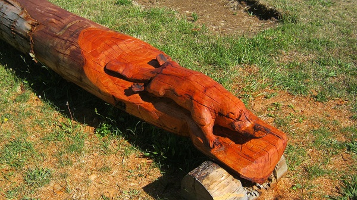
Platypus Carving at Crookwell
We made it in time for lunch with friends, in the vicinity of Triangle Flat and stayed overnight. We oldies did not make old bones on the New Year’s Eve and by midnight all were in dreamland.
Morning light at Triangle Flat
Early morning saw a light mist roll over the hills and valleys. The first day of January 2014 dawned to a pristine environment with a fresh feel and after a great breakfast we said our goodbyes to our hosts and we set off via the hamlets of Rocklea and Perthville towards Bathurst. Once there, we refuelled and grabbed a coffee and a snack from Maccas. The coffee they sell is excellent but I am usually unsure about their food and so prefer to buy from other fresher food places.
After Bathurst we started climbing through the ranges again to Sofala, Ilford and eventually Mudgee. As we were cruising onto Mudgee I decided to pull off the road to check my mapping to the next destination. A Police Vehicle was behind me and turned his flashing lights on. The officer said that a brake light wasn’t working but that it was not a big issue. Then I had to show my Driver’s Licence and do a RBT. All was OK and we were on our way again. I checked later and the errant light was working.
From Mudgee we climbed the ranges again onto a plateau towards the town of Merriwa via Ulan and skirting the Goulburn River National Park. Grabbed a couple of pies at the café at Merriwa and had lunch in the shade of some trees while the dogs stretched their legs and begged some of our lunch off us.
Cousins Creek Road
Heading towards Tamworth
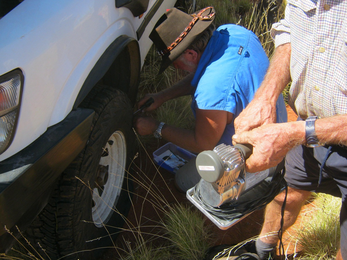
The day was warming up and we now took a gravel road which I had seen on my roadmap which was named Cousins Creek Road which led to Jacks Creek and Willow Tree, where we met the New England Highway. Then it was a short drive to Tamworth for another refuel. Soon after, we were wending our way on the Manilla Road to the small town of Attunga where we spent the night with friends. Soon after arriving, Kevin helped me fit the new brake pads to the front discs of the Datto and just in time too as the old ones were severely worn. After that we relaxed and chatted and had a feed and a few beers.
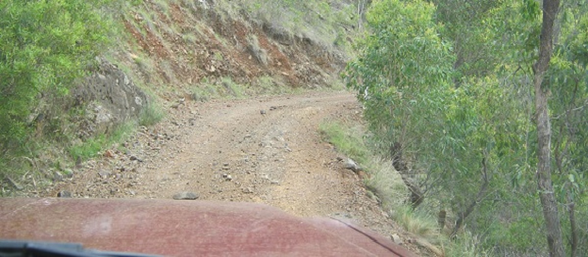
I decided to take a ‘short cut’ from Attunga to Uralla and followed along some bush roads to get there. We drove through some scenic wooded country via Watsons Creek and other back-roads. It was a good drive and along the way we drove up the Bungendore Spur where the road is decidedly narrow and hairpin bends are given a new meaning. This road takes you back up on to a plateau from the Namoi River plains and over the Nandewar Range and eventually back down a valley into the town of Uralla.

No trucks or caravans
A tad narrow
Eeeeeek!
Hairpin Bend
U turn bend
On top of the range
Back on the New England Highway we drove along the ridge of the Great Dividing Range bypassing the regional centre of Armidale and then through the towns of Guyra, Glencoe, and Glen Innes and eventually Tenterfield, where we stayed the night.

Sunset in Tenterfield
We were up early the following morning, and on our way to Killarney, in Queensland, via the Mount Lindsay Highway. Once again, we were driving along the eastern upper reaches of the Great Dividing Range and a short distance from the Queensland State Border. The sub-tropical State Forests along the way were shimmering in the dew of the early morning. We passed an area sign which is named Boonoo Boonoo and some say in translation it is pronounced Bunnabanuu. It is the name of a forest nearby and also a waterfall. It means in Aboriginal dialect ‘poor country with no animals to provide food’. We saw lots of wildlife along the way including kangaroos. It is possible that this meaning came from earlier and drier times. 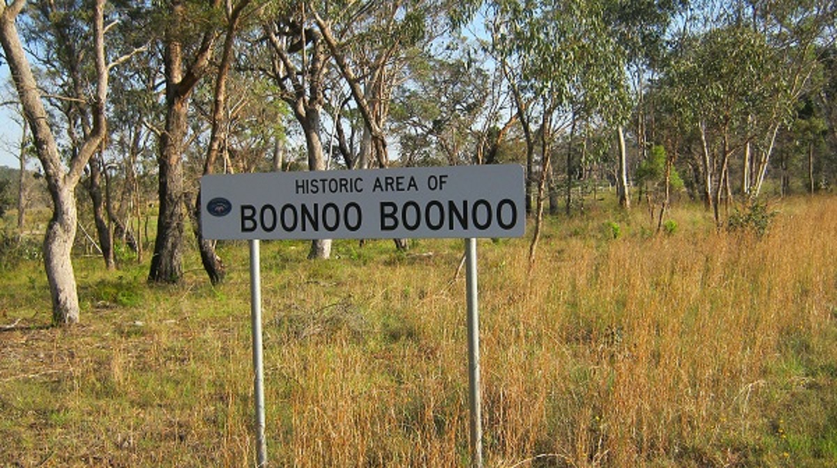
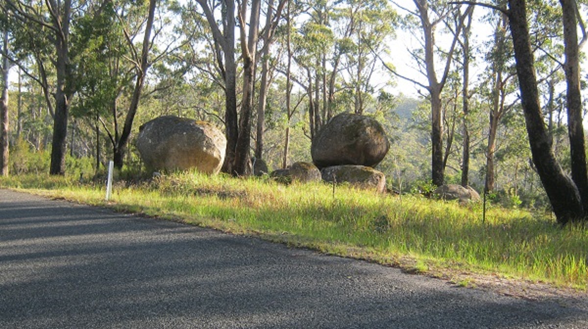
The Pebbles
It was a very pleasant drive past quaint names such as Willsons Downfall, Amosfield, Liston, Wylie and Legume. We stretched our legs in the shade of a big Banyan Tree at Killarney and gave the dogs some exercise before our next adventure.
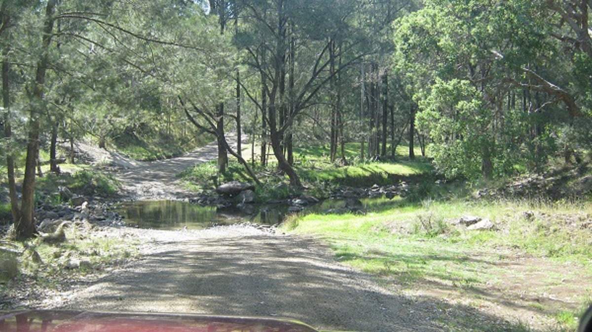
Our journey now took us along the Condamine River Road (also known as the Bicentennial National Trail) through Cambanoora Gorge where the road crosses the river 14 times. There is a rich history of logging, timber milling, bullock drawn transport and farming in the gorge. Farming has been a long term activity in the gorge and adjacent areas. It continues to have a connection with the current natural and historical values. There is also oral and written indigenous history that is very relevant to the values of the gorge. A number of bird and reptile species have been listed as important and whilst driving through the gorge we were lucky to see an Eastern Water Dragon.

Start
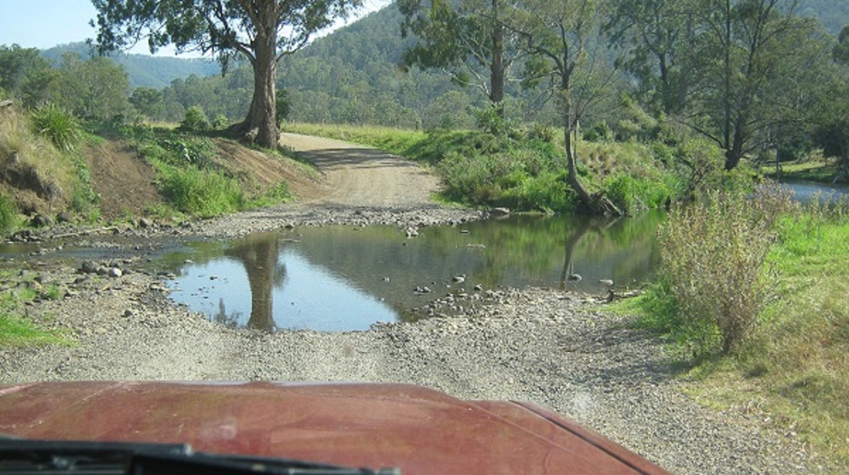
First crossing
Another crossing
Digital mapping

Condamine River Road
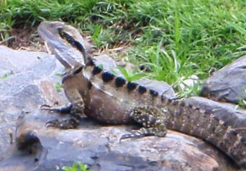
Eastern Water-dragon
North side of the gorge
It was a pretty drive through the gorge and the 14 crossings were only splash deep. Although it is touted as a four wheel drive track, the road could be negotiated in a high clearance car when the Condamine River is at its ebb. When the river reaches deeper levels and safety is at risk, the Southern Downs Regional Council closes the road to traffic.
Mount Barney
The road climbs out of the gorge and over the MacPherson Range and then drops down into the Scenic Rim Valley which lies between the Main Range and Darlington Range and where you will find the towns of Boonah, Rathdowney, Beaudesert and Canungra.
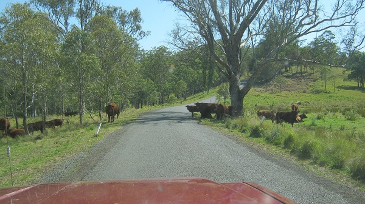
There are always cattle on the road
We made our way from here to Canungra and Nerang on the Gold Coast and eventually we were on the Freeway en route to our destination of Chinderah in New South Wales. At Canungra we stopped for a bite to eat. It was a warm 38°C and very humid. Luckily the Outpost Café has a misting system which kept the patrons and us cool!

Cool spot
The Great Dividing Range goes on from here to the north and right into Cape York Peninsula for more than two thousand kilometres as it continues to divide the arid west from the rainforest slopes of the Eastern Highlands.
Great Dividing Range
Dirt Tracks North 2014
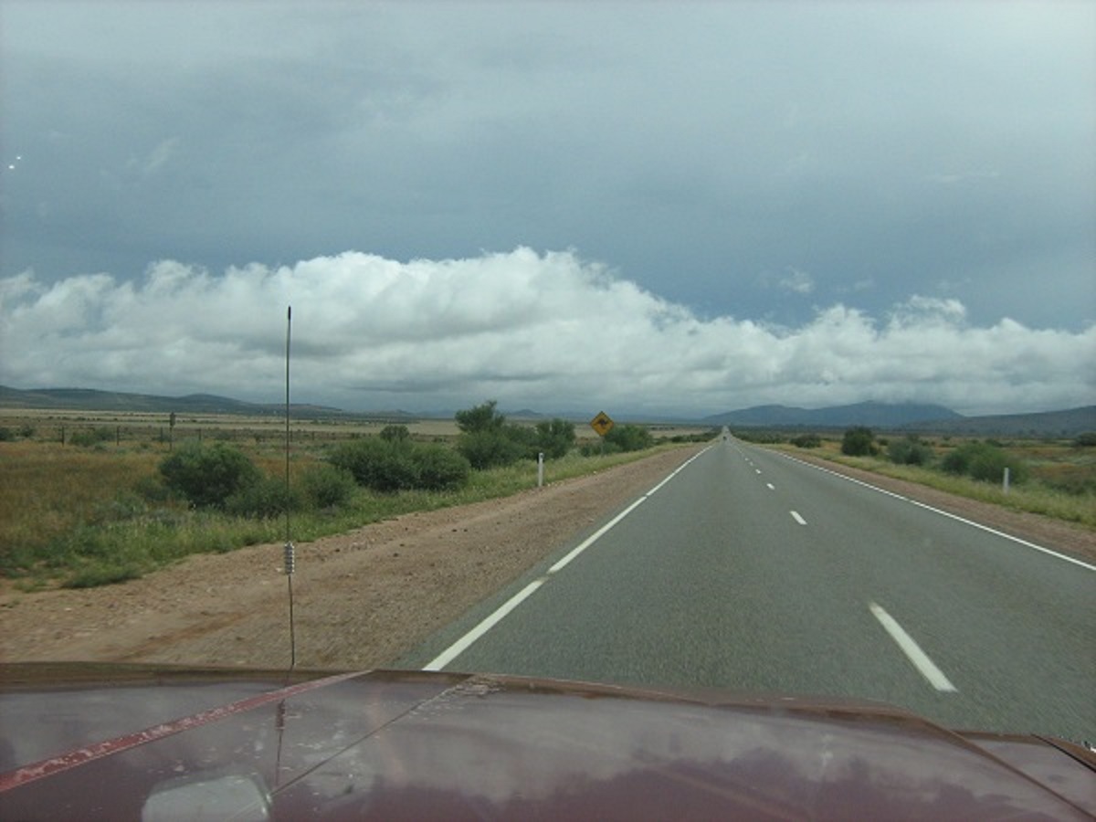
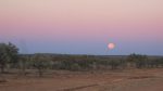
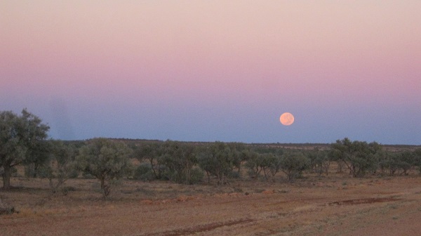
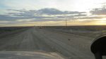
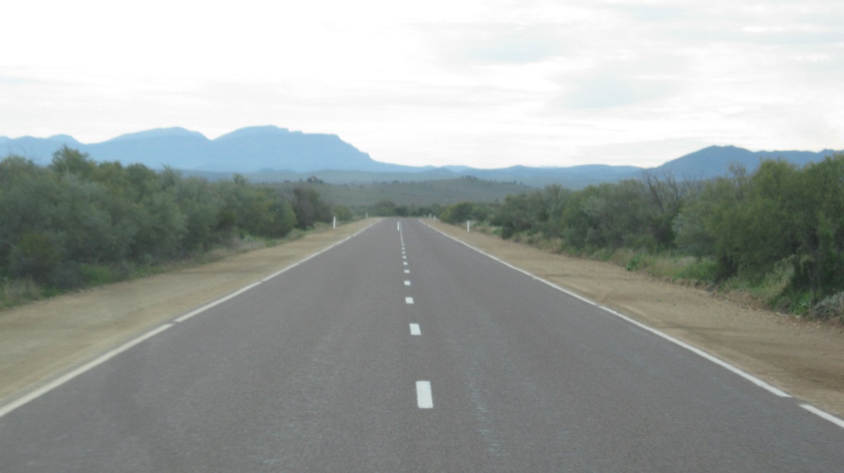
Rain coming
On a grey day I passed through the Flinders Ranges heading north for the Oodnadatta Track. There wasn’t actually a forecast for rain in the area but rain it did, although only lightly. I stopped to make a sandwich at the lookout near the Moralana back-road turnoff, and chatted with some overseas visitors, who were trying to get a glimpse of the Flinders Ranges as the clouds hung low. The inevitable question came up of when the clouds might lift and I replied that when the temperature increases they might dissipate….maybe come back tomorrow……
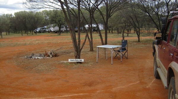
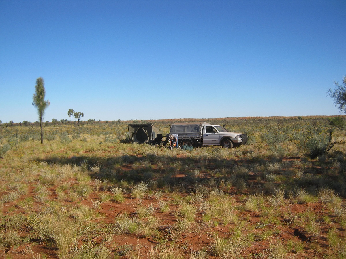
I had decided to test my skills at continuing my camping regime as declining health has put me at odds with what I love doing. So this was a test for the year to come to see how I could cope camping on my own
A bright number on a dark day was this magnificent mural in the small hamlet of Carrieton along the road north. It is a credit to the community.
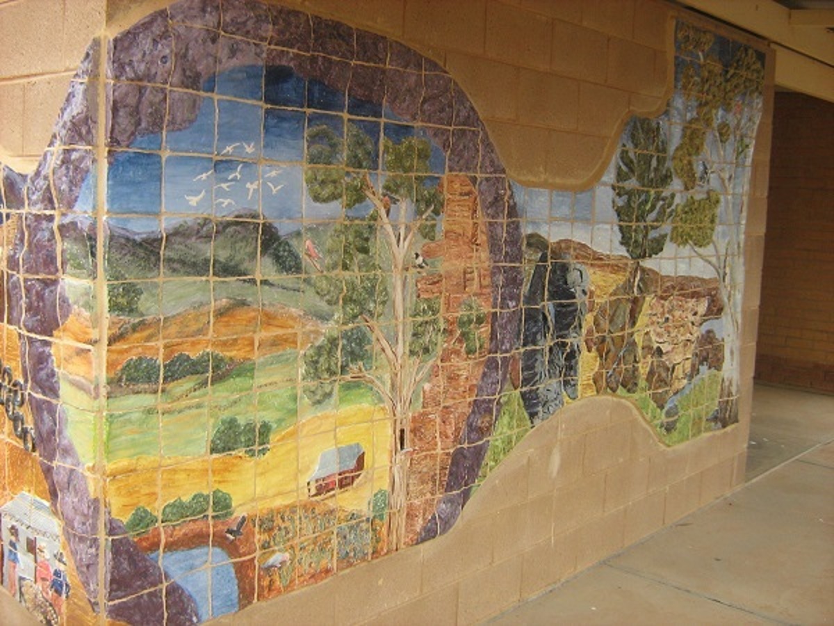
Carrieton Mural
My mission for the morning was to deliver some paintings to a friend in Beltana and after a short chat there I drove out to Warraweena Sanctuary east from Beltana, to catch up with friends who manage the place. Once again the conversation was short and to the point and I caught up with all the history of the previous number of years I had missed out on and soon I was pointing the Datto back towards Beltana again. Dunno, mebbe I am now persona non grata as not even a cup of coffee was on offer. How things change…….
I skirted around Beltana and took the back track to the sealed road via Puttappa Gap. The road hasn’t had much maintenance done over the years and I hit a washout at the bottom of a slope which I only saw at the last minute. With brakes on full lock it was still a hard bounce through the obstacle. Warily I continued on my journey feeling the steering for any perceived damage. It seemed OK.
On the bitumen again I had to keep the speed in check as I had fitted my MRF Off-Track tyres for this trip and high speeds are not good for tubed cross-ply tyres. I had it in mind to do a refuel at the small town of Lyndhurst, which lies at the junction with the Strzelecki Track but to my dismay I found the fuel outlet closed down. There is another fuel outlet but in a scene some years before, I came across some dubious management practices by that business, and so gave it a miss. I had enough fuel with me anyway as I always make sure that I should never run out of fuel. And so I continued my journey northwards to the next town of Maree. By now the gravel road appeared and within a very short distance I came across two vehicles with blown tyres and both the same brand of tyre too. I won’t mention the name of the brand as a very good friend of mine advertises that brand in a television commercial. I stopped at each incident but the travellers did not need assistance, just sympathy.
This stone edifice stands alongside the road between Lyndhurst and Marree
Stuart Memorial
The memorial celebrating 1862-2012, 150 years since John McDouall Stuart’s epic walks through the Centre of Australia. A rock solid exclamation of one man’s determination.
At Marree, which lies at the start of the Oodnadatta Track, I refuelled and made enquiries about a sign I had seen along the way advertising a 4×4 track called the Mount Nor’West Loop. It sounded interesting but I decided that the cost of such a trip was overpriced for my liking and cancelled that idea. I made for Hergott Springs just outside of Marree, where I camped for the night.
Hergott Springs was the original name for Maree and so named by John Macdouall Stuart who explored the area in 1859. He named it after the German Botanist by the name of Herrgott, who was accompanying him. The town itself had a name change to Marree in 1917 after resentment against the Germans for starting WW1 (this was a phenomenon throughout South Australia whose founding fathers were of German descent). Marree is the Aboriginal name for a type of desert Possum so known by the Dieri Aborginal People of the area. Marree became a gathering place for the Afghan Cameleers of Australia who were vital to opening trade routes to the inland. Camels were imported to Australia from Afghanistan as early as 1839 together with Cameleers from that country. Over the next 100 years they were to leave their mark in Australia as major carriers of goods and supplies across the inland of this country. Almost all of the cameleers who came to Australia during this period faced enormous hardships. While their skills were needed and mostly appreciated, they were largely shunned by the European communities who ostracised them with racism and anger. Eventually rail connections and the coming of motorised transport saw an end to the Camel Trains and the camels were let loose by and by to forage for themselves. Now it is estimated that there are close to 1 million feral camels roaming the inland deserts of Australia. Marree was also the place where the first Mosque was built in Australia. The Afghans left a rich heritage behind, but, as said, faced enormous difficulties.
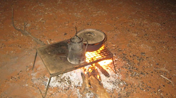
Breakfast before the flies
Hergott Springs
The Oodnadatta Track starts at Marree and runs for 620km until it reaches Marla on the Stuart Highway. Oodnadatta itself was originally a small town along the Overland Telegraph Line and later, by 1890, the rail-head for the line from Adelaide to the north. It is known as the hottest town in Australia having reached a temperature of 50.7°C in 1960. It is also known as the Driest Town in the Driest State in the Driest Continent on Earth. The name is derived from an Arrernte Aboriginal word, utnadata, which translates to ‘mulga blossom. The Track, which was so named after the camel tracks, is now a misnomer as these days it is a great wide gravel road which carries a heavy traffic load in the winter months of tourists wending their way along this iconic route to destinations beyond.
Oodnadatta Track

Algeberry Station Art
The Oodnadatta Track has various points of interest along the way from Marree and including railway siding ruins, Giant Art Sculptures, vantage points of Kati Thanda-Lake Eyre South, Mound Springs, Sand dunes, access to Lake Eyre North, the small town of William Creek, the vast Anna Creek Station which is the largest working cattle property in the world at 6 million acres in size and Algebuckina Railway Bridge which is 19 spans long and around 570 metres in length. There are also many rudimentary ‘pink signs put up by the late, Adam Plate, depicting various historic areas or instances.
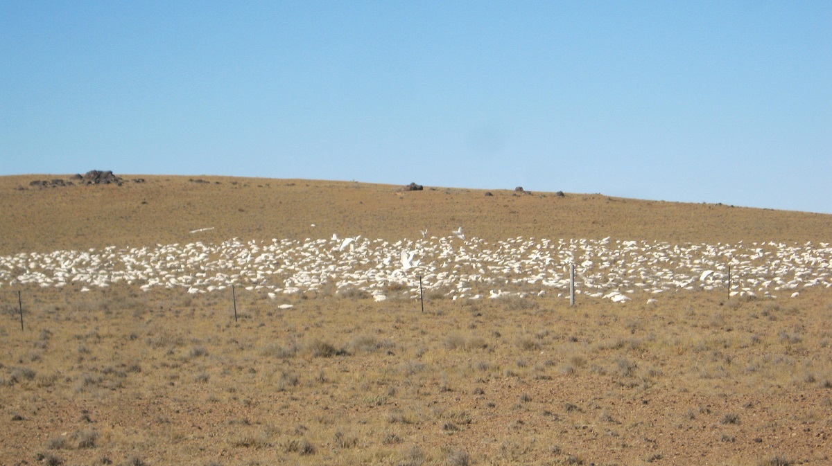
This week Lake Eyre South was a beautiful sight with about 90% of its surface covered in a film of water. Creeks from a higher level from the southwest were still feeding water in to the lake and small inland fish, spawning from the shallow reaches of the mud are fair prey to all types of predators. Seagulls and Pelicans fly from long distances away as if a radio beacon has gone off in their heads. Dingoes prey on whatever they can catch and I spied a good looking King Brown snake crossing the road. He even stopped for me so that I could take a close-up photo or he was waiting to see what my next move was?
-
- Lake Eyre South
-
- King Brown snake
-
- Seagulls n Pelicans
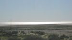
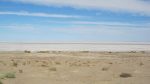
Having visited most of the iconic places on this route before, I just drove at a slow pace along the track and turned off to Lake Eyre North and Halligan Bay, just short of William Creek. Having paid my $10 Park Entry Fee at the honesty box I set off on the 124km return journey just to look at this Salt Lake which lies 15 metres Below Sea Level and is 9500 square kilometres in size. There were dire warnings of the remoteness of this track and it difficulty but since the signs were installed, some time ago, the road has been graded and made into quite a smooth run. At the lake I had it all to myself, and could stare uninterrupted at the stark, never-ending whiteness.
-
- Lake Eyre North
-
- Moonscape
-
- Struggling plant life
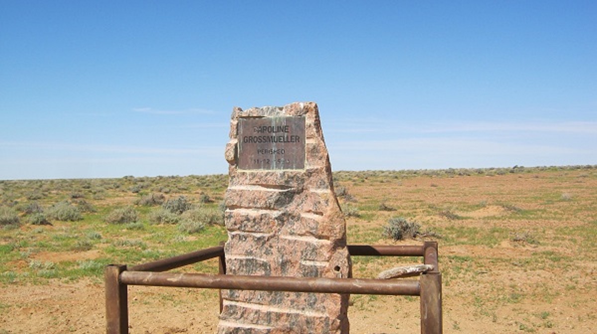
Along the way is this memorial to Caroline Grossmueller, a German Tourist, who perished here on 11 December 1998, after leaving her husband and their bogged vehicle at Lake Eyre . It was a hired Four Wheel Drive and they were unaware they had to engage the front hubs to activate four wheel drive mode.
William Creek, Pop: 6
I camped the night at Algebuckina Waterhole between William Creek and Oodnadatta that night, and it afforded a lovely sunset over the waters and the bridge. The mosquitoes had me going to bed early though and at around 11pm it started to rain softly. Not wanting to get bogged in slippery mud, I packed up quickly and moved camp away to harder ground. Then it stopped raining. Early morning saw me having a very hasty breakfast as the mosquitoes were still biting even though the flies were pressing for their dominance as well. Due to good rains in recent weeks and still relatively warm weather, there has been a quick rate of breeding by our iconic bush flies of which there are no less than 2000 species in this country. The flies can be annoying at times.
William Creek, Pop: 6
-
- Algebuckina Waterhole
-
- Algebuckena Bridge
-
- Fresh Dingo
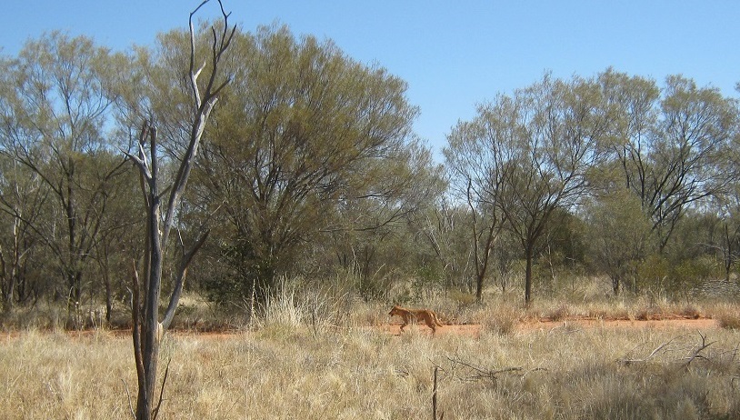
Early morning saw a fresh Dingo out on the road looking for some road-kill morsels no doubt. I did a lazy drive into Oodnadatta which seemed to be a hive of activity with trucks and machinery moving in all directions. I refuelled at $2.25 per litre for diesel which made a sizeable hole in my bank account and had a lukewarm cappuccino at the Pink Roadhouse. Then I took some photos and continued on my way.
Oodnadatta is well served by the Pink Roadhouse which was established there in the 1970’s by Adam and Lynnie Plate, who had the foresight and artistic flair to establish and build a thriving business in a normally desolate area. They painted everything Pink. The building is a collection of demountable houses stitched together. The business changed hands in 2013.
Pink Roadhouse
To advertise his business and to draw attention to an area within 200km from the Pink Roadhouse at Oodnadatta, the Late, Adam Plate, erected many hand written pink signs some with distinct humour. Here is one and a poem picked at random
Poetry Box
Bush poem
Eventually I veered off the Oodnadatta Track to take the road via Hamilton Station, Eringa Waterhole and beyond. Whilst there were some road-works beyond Oodnadatta the road was in good repair up to Hamilton Station. The road deteriorated as I kept on moving north and various washouts had road markers depicting danger. As is my wont, I look around at everything whilst on the road and still taking my safety into consideration. However, I almost came unstuck as when I looked back to the road an extremely large washout, unmarked by danger markers, loomed out at me. It was with great dexterity that I swung the steering wheel instinctively to slide the Datto out of harm’s way to miss the hole by centimetres. I was a lot more careful after that encounter.
Another hazard of Outback Travel is Bulldust Holes. They can be almost bottomless at times and I know of large vehicles getting bogged in them. A few years ago a friend of mine was killed on the road between Kulgera and Finke when he hit a bulldust hole at speed and his Toyota Troopy was thrown headlong into an oncoming road train. The driver of the road train was also killed.
Claypan

Bulldust hole
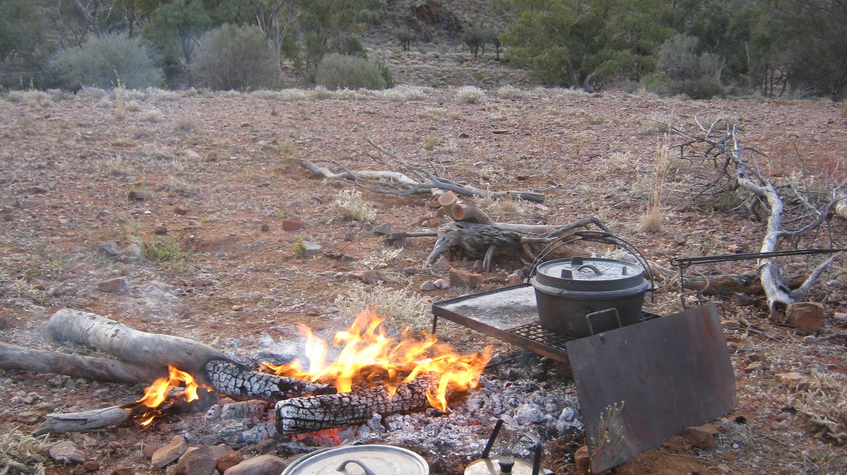
Eringa Waterhole, now part of Hamilton Station, is where Sidney Kidman the Cattle King of the early 20th Century established one of his many cattle stations. This is one of the few permanent waters in this normally dry area and it is a regular camp spot for travellers. I discovered a doused fireplace but two logs still burning separately from the fireplace left by campers of the previous night, no doubt, and built my fire around that to cook up a delicious stew. Having arrived there by midday I slacked off for the rest of the day to camp the night. The evening however turned out into a mosquito bonanza and it was stiflingly hot and around midnight I drove out to higher ground for some cooler air and less mosquitoes. It was then that I noticed lightning in the night sky far to the south.
Eringa Waterhole
The rain caught up with me at breakfast time before daybreak and I had to make a run for it to keep ahead of the threat of a muddy track. By now the road was only a two wheel track in places as I had crossed into New Crown Station property, 73 kilometres from the homestead. The flat and featureless Gibber Country was now sporting bright, green grasses, since the last rains, with ponds, puddles and clay-pans covered in water. The road from Eringa Waterhole is supposed to be a gazetted road but is rarely maintained as the main traffic deviates east to Mount Dare Roadhouse on the edge of the Simpson Desert. Tracks run in all directions to find a way around wet areas. In the early morning it was quite hard finding and following these tracks.
Gibber Country (Copy and Paste from Internet: gibber, rock- and pebble-littered area of arid or semi-arid country in Australia . The rocks are generally angular fragments formed from broken up duricrust, usually silcrete, a hardened crust of soil cemented by silica (SiO2). The gravel cover may be only one rock fragment deep, or it may consist of several layers buried in fine-grained material that is thought to have been blown in. A gibber is generally considered a result of mechanical weathering because silica is almost inert to chemical weathering) When it rains the cattle thrive….when there’s droughy the cattle die!
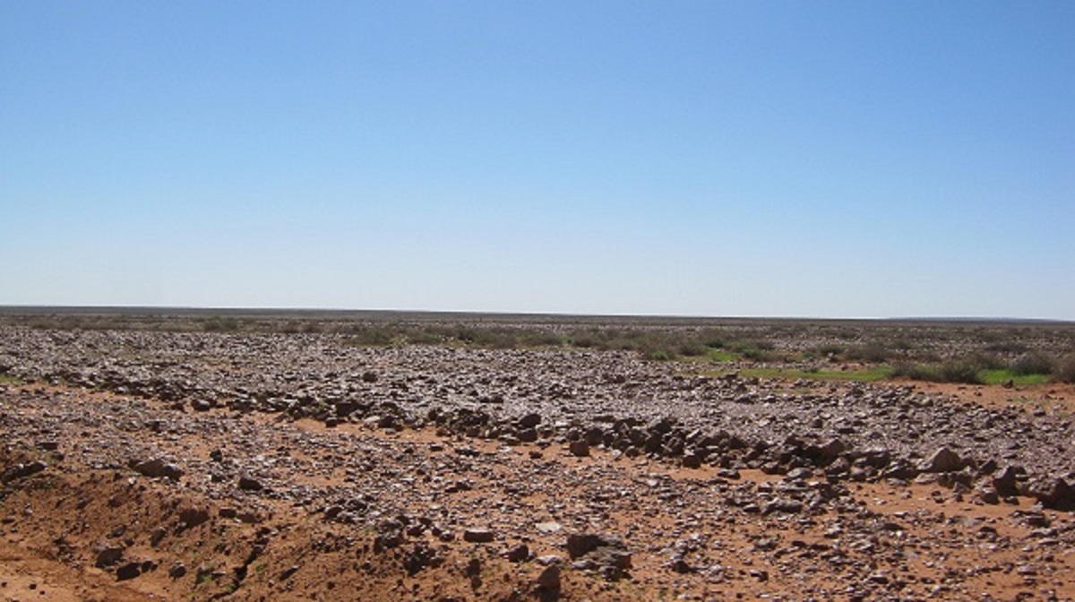
Gibber Plain
Eventually I arrived at a T junction with a major road and New Crown Station main gate. Heading east from there I skirted Andado Station and stopped a while later at Old Andado homestead where the late ‘Mac’ and Molly Clark used to live. This well-known place in the desert traveller’s diary, lies deserted, despite numerous signs along the way depicting activities out there. There were fresh tyre tracks around the old place but no visible footprints around the yard. I ventured into the old house as the front door was open and a shade curtain was blowing to and fro in the desert breeze. I am happy to report that nothing has been pilfered from the place over the years since Molly’s death and everything is still in place just like she left it. Apparently an ‘Old Andado Charitable Trust’ was formed last year and caretakers are invited to apply for positions over certain periods during the winter months and early spring. But for this day it was just me and some crows in the vicinity.
Inside the homestead
Old Andado Homestead
I now tackled the 150km long, dune swale run, north, until the Train Hills and other features closer to Alice Springs. The winds before the rainclouds were chasing me and the day became a bit unpleasant with swirling desert dust and warmer weather. I stopped to refuel from my supply of jerry cans, near the turnoff to the Mac Clark Acacia-Peuce Conservation Reserve. In the middle of absolutely nowhere, a sign on the side of the track stated “No Stopping for 20km due to Weed Control”…..go figure!
Desert Green after rain
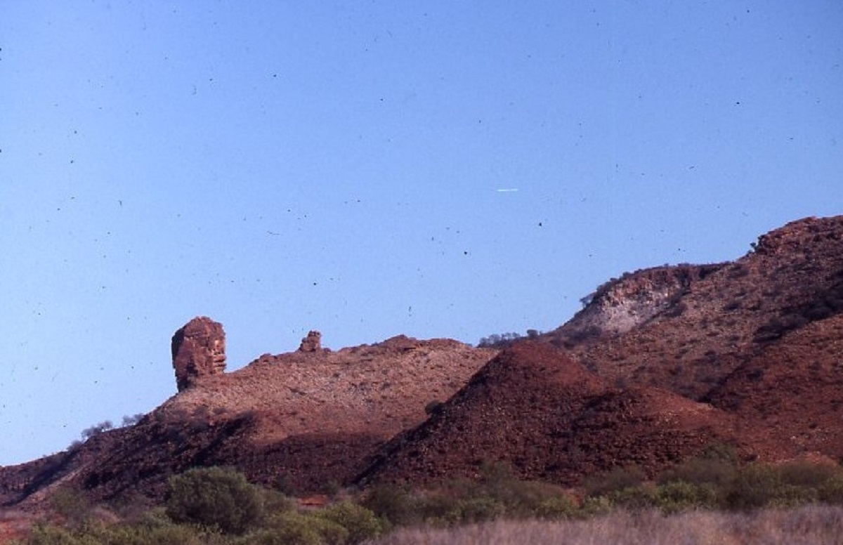
In 1990 I had heard of some good rock art near a bore in the Train Hills on Allambi Station. I obtained permission to visit the place from the station owner and Judith and I did just that. Amongst some artefacts and rock carvings we found a rock protruding from the ground that was smoothed off at its crown, no doubt by hands rubbing it in some sort of ancient ceremony. Many photographs were taken but I have not been able to locate them recently. So I decided that as I was in the vicinity I will go back to the area and take the photo needed. My digital mapping showed a track following the base of the hills to the bore. After closing a gate the track was barely visible going off into the bush but off I went anyway. Dodging fallen timber and pushing down smaller shrubs and trees with the bulbar, I reached the bore without incident after about 6 kilometres. I immediately recalled the many rocks that were strewn about the place and started to look for where this particular rock might be as the memory fades over a 24 year absence. Then I noticed a fence spanned across the entrance of the mini gorge and wondered if it was there in the earlier time. Struggling across the rocks with my walking stick in one hand and camera in the other I managed to crawl under the barbed wire fence and proceed up the gully with some difficulty. Now where was that rock? One, amongst 100,000? But as luck would have it, I walked right up to it! After photos I made my way back to the Datto and took some more photos of rock art and artefacts near the dam.
Atherita Bore
I will call it the Magic Circle. A rock that has obviously been used in ceremonies. The crown of the rock is worn smooth by the constant touching and rubbing with human hands over the millenia. I have done extensive research on this rock and its location but have found no mention of it in the research centres in Alice Springs.
Taking the more direct route back to the road I noticed that there had not been a vehicle this way for a while. Then out of seemingly nowhere a new Toyota Ute came up along the track in my pathway. I pulled over to the side and when the ute stopped next to me the station owner said “Gday, what’s the go here?” I explained and he seemed content with that and said “Yer right, CYA” and drove off. What are the chances of such a random meeting and at least 60km from the station homestead!
Camel Flat Pinnacle in Train Hills Range
Once past Allambi Station Homestead the skies darkened and it started spitting rain. The road improved especially after I had passed Santa Theresa-Ltyentye Apurte Community, and just before dark I arrived in Alice Springs.
Centre Bush Tracks 2014
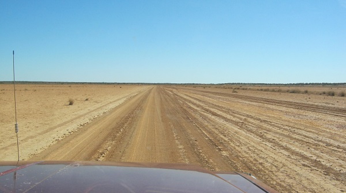
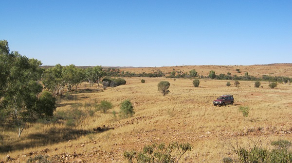
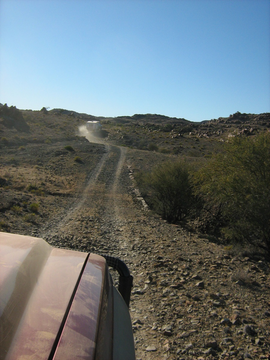
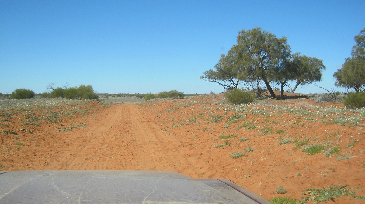
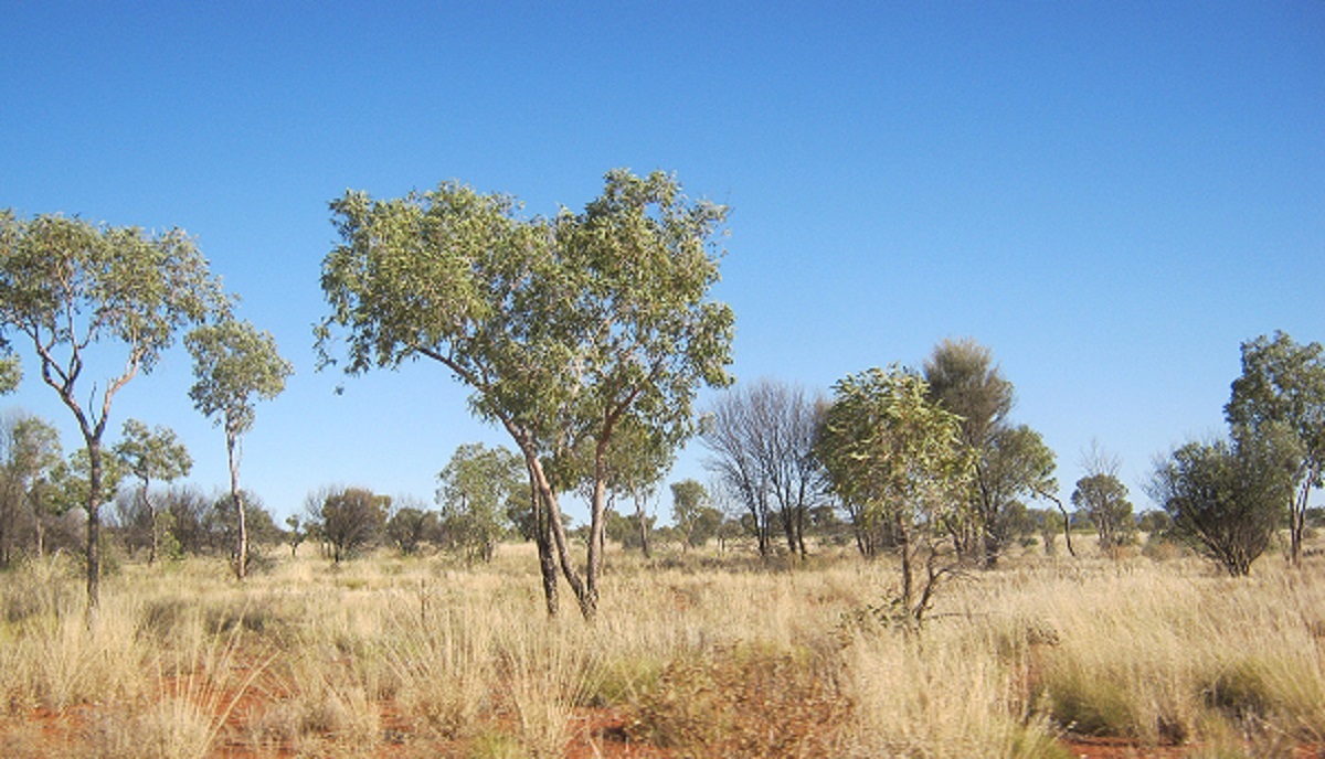
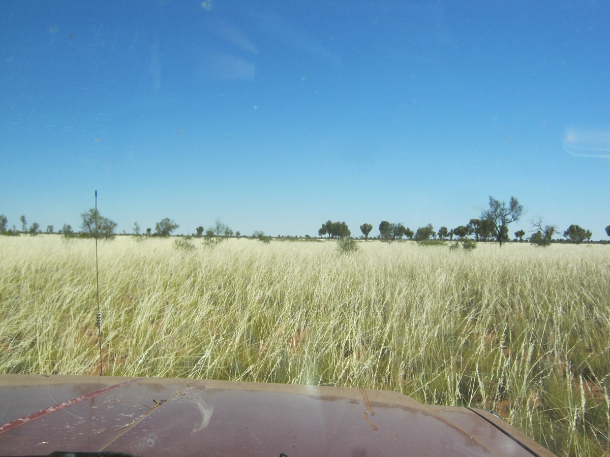
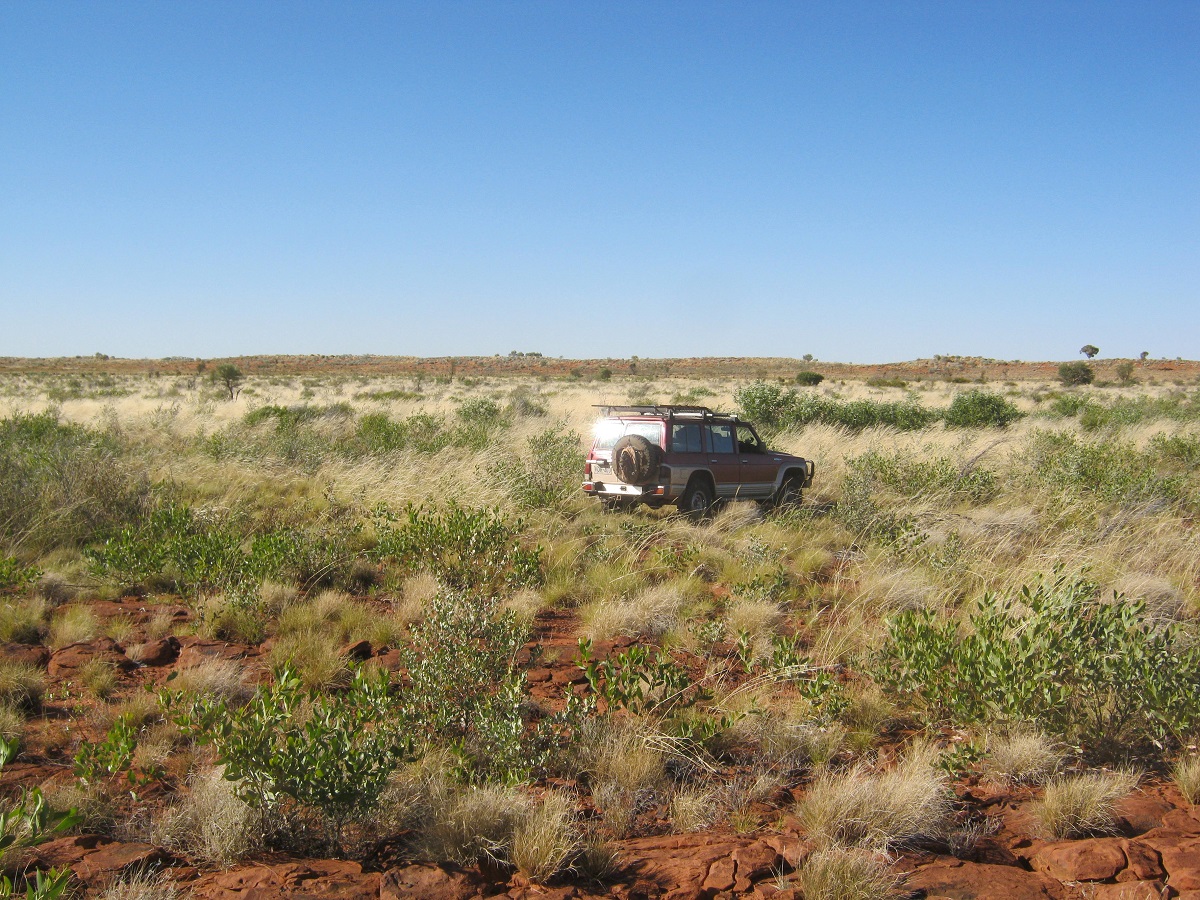
Heading north along the Stuart Highway out of Alice Springs and through the undulating hills which surround the town, it isn’t long before you see the sign that denotes that now there is no speed limit. The vast distances to travel, between towns and roadhouses in the Northern Territory, has made for the re-introduction of the ‘No Speed Limit’, which had been changed some years before, by a government with a different ideology. Just ‘drive to conditions’ the sign denotes. This, however, was of no help to me, as I have to self-regulate my speed due to my choice of tyres for the trip. Travelling in the Outback has its compromises. To facilitate Off Track adventures I fit the thick walled cross-ply tubed tyres. These in turn are very good for driving Off Track or in sandy country as potential stakes are deflected off the tough side walls of the tyres, but have a downside of building up heat when on sealed roads, which could perforate the tubes and cause a blow-out. So for me 80kmh is the go to keep the heat down. You definitely get to see more country, as the pace is slow.
No speed limit….Go for it!
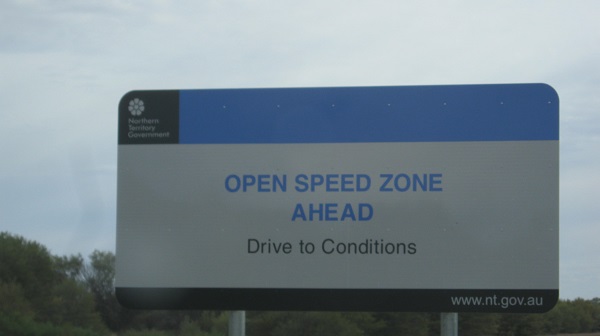
New speed limit
Out of Alice Springs, the highest altitude marker between Darwin and Adelaide , on the Stuart Highway, is one kilometre past the Tanami Road turn-off. Here the altitude is 727.2 metres above sea level.
-
- Tropic of Capricorn

-
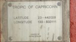
- Tropic of Capricorn
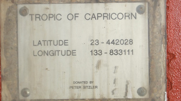
The next point of interest is the Tropic of Capricorn and not long after I turned east on to the Plenty Highway. This highway is single lane bitumen for 100 kilometres up to Ongeva Creek and after that it can be good for short distances and really bad for long distances, which will include severe corrugations and bulldust holes. Originally the Plenty Highway was just a track for access to some stations but was graded through to the NT Border at Tobermorey Station in the 1960’s. Traffic in either direction on the sealed bit can throw up stones as they drop two wheels onto the dirt but on the whole drivers are sensible and slow down so as to minimise damage to cars. Where the name came from is anyione’s guess but all I can say is Plenty Rough Road!
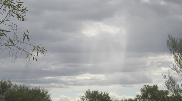
I called in at Gemtree Holiday Park to catch up with a Facebook friend. Kate McMaster and her husband Aaron run Gemtree and have a good business there catering for families in particular and gem fossickers. The area close-by to Gemtree is well known for Zircons and Garnets. In an earlier part of our lives we were interested in such things and fossicked for Garnets and Judith had one made up into a ring by the Gemtree jewellers. Although it was still early in the day I decided to stop over at the park and had a most relaxing afternoon and had a pre-ordered hot dinner delivered by quad bike to my campsite.
-

- Sunshower
-

- Gemtree camp
-
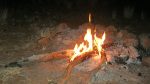
- Happy Campfire

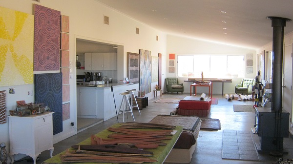
Once off the sealed road I was battling the corrugations and finding the softest tracks, even if they were halfway up the windrow. My journey now took me to turn north along the Binns Track, 22 kilometres east of Atitjere-Harts Range Community. I was heading for Mt Swan Station which is owned, together with Macdonald Downs Station, by the Chalmers Family. Charles and Cora Chalmers took up the Macdonald Downs Station lease which included Mount Swan in 1923. They worked hard to build up a viable business and to raise 6 children and they built up a special rapport with the Alyerre Aboriginal group who custodial lands these were. Now, the third Chalmers generation, Charlie and Sonja Chalmers, run this working cattle property of 2067 square kilometres (half a million acres). Apart from running a Store on the station they have also established a vibrant Aboriginal Artist Collective, and have outlets throughout Australia and major world cities. In recent times they have built a Gallery a short way from the Mount Swan Station homestead, where they facilitate groups of visitors to meet the artists and view their work in situ. The Gallery also has a Café which is open for business when groups arrive. I was very impressed by the art at the gallery which included large paintings, wooden bird figures, human totem figures and bush jewellery.
Mount Swan Art Gallery
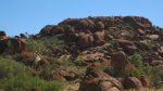
Next and I was off to Tower Rock. This geological phenomenon lies 27 kilometres the north-west of Mount Swan Station by station tracks. It is the first privately enacted Conservation Reserve in the history of the Northern Territory where 470 hectares have been excised from the station and is named the Mac and Rose Chalmers Conservation Reserve. The rounded granite boulders, piled on top of one another are similar to other such features like the Devil Marbles or The Pebbles near Tennant Creek. The Conservation Reserve features a wide range of native plant species and wildlife. Within the reserve is the grave site for Mac and Rose Chalmers.
-
- Tower Rock

-

- Precarious balance
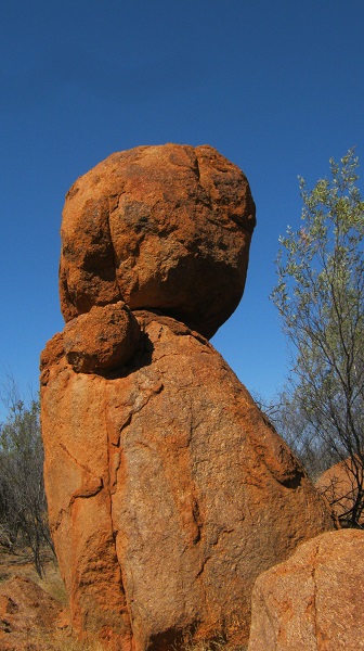
-
- Ancient markings
The camping area lies within a corral of granite hills made up of bound boulders, some precariously perched on top pf one another to make striking feature. There is a small fee to camp and you are asked to collect wood for your fire before entering the reserve. Long-drop toilets are provided but they are pretty much in the open and some upgrading is necessary. There are a number of walks that may be undertaken by the fit and agile and these are shown on the information board close to the gravesite. Being a handicapped walker these days I did not stray far from my vehicle. There is no water out there and this is so evident by the absence of birds.
Just before daybreak a mournful Dingo was calling the pack and the Desert Thrush was twittering its repetitive call, no doubt looking for water. I made a Satellite Phone call home to wish my dearest a Happy Birthday and after breakfast, and, before the flies woke up in earnest, I set off for my next destination, the Dulcie Ranges National Park.
Bush ingenuity…a floating gate post
-
- Station track

-
- Here I lie…I shall go no further

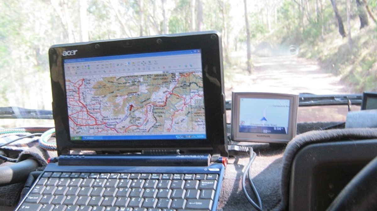
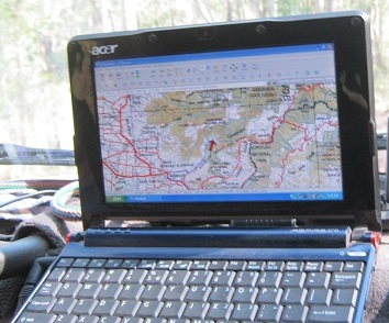
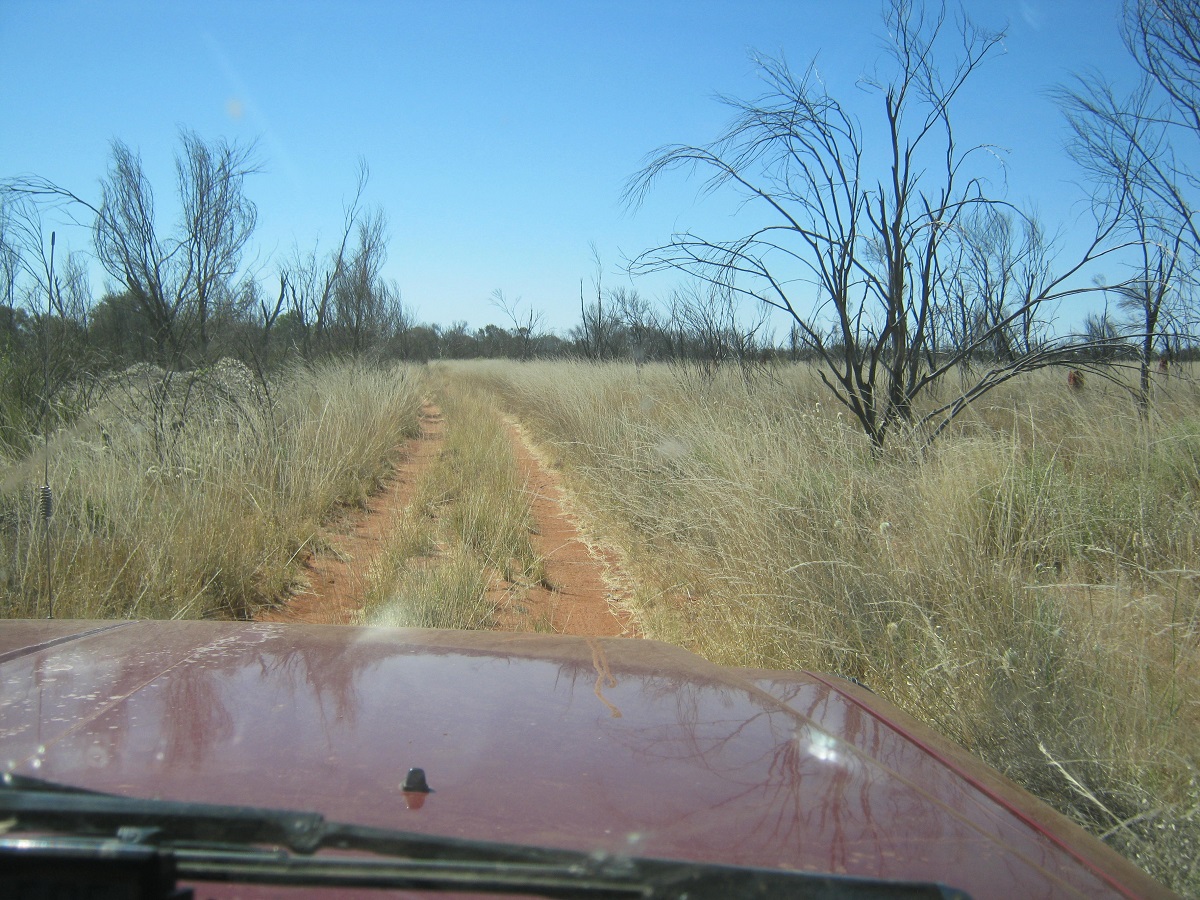
I can only praise the creators of digital mapping software because without it we modern day travellers would be wandering in all directions. I have a small laptop that is positioned on the dashboard of the Datto and it shows me progress via satellite navigation in which direction I am travelling. Arriving at the turn off point on the Binns Track, heading east, there was no signpost, and the track indicated little use by other vehicles. Access through station fences happened invariably at cattle watering points and tracks were obliterated for hundreds of metres around. So my mapping stood me in good stead. I also had some notes emailed to me by a mate, who stated amongst other things, that there was a drum marking the turn-off to Old Huckitta Homestead. That drum is now missing. Nevertheless I found my way to the ruins.
Finding my way
The Dulcie Ranges National Park was established in 2001 but little as far as development seems to have occurred since then apart for minor fencing and work around Aboriginal Rock Art sites. A broad resource survey of the Dulcie Range in 1989 recorded 100 rock art sites, 49 archaeological sites and 5 Aboriginal “Dreaming” sites. A major art and engravings site within the Park (Ataperraperre) is centred around Mount Ultim and has been registered as a Sacred Site. A Sacred Site has also been registered close to the Old Huckitta Homestead ruins (Atnwarle).
The Dulcie Range is principally within the traditional estate of the Atnewale clan of the Akarre Arrernte people. The Range would have been of considerable importance to Aboriginal people offering many reliable waterholes and springs, abundant shelter as well as considerable animal and plant resources.
-
- Old Huckitta Spring
-
- Old Huckitta Homestead

-

- Old Huckitta vista
-
- Crystal clear waters

-
- Lush growth

I was able to drive up to the Old Homestead ruins. It lies just outside of a permanent spring. I wonder why it had been abandoned with such a vibrant spring at hand. I walked up the small gorge with some difficulty however as the little gorge id very overgrown. Right at the source of the spring in the rusty remains of an old windmill. Looking up at the rock overhangs above I could imagine that there were paintings to be discovered, and so I set out to climb up.
After virtually crawling about 15 metres over rough rocks I realised that even if I managed to get to the overhangs I will have a battle getting down again as my balance has now been compromised seriously with my degenerative disc disease. And so I struggled back down the short distance and was relieved to get back to flatter ground again.

Shadow of an unsteady hiker
On leaving the fenced off ruins area I followed a track heading north along the fence-line. The track meandered through some gullies and light scrub and after about 4km I came to a gate and a signpost denoting a site of cultural significance. I did not enter as the sign requests that a permit is required and that a site custodian should also be present. So I will pursue this for a future visit.
-
- Exploring Dulcie

-
- Ah Ha!
Now other tracks led anywhere so I set my sights on the Plenty Highway once again and reached it by without much effort by following a once grade track along a fence line. Once again the road surface on the Plenty was not all that good and I had to find the ‘right’ wheel-track, even if it meant driving on the wrong side of the road. About 20km shy of Jervois Station I came across a Japanese cyclist heading east. I asked if he had enough water and he indicated that he was OK but I am not sure if he understood what I meant.

The Plenty Highway
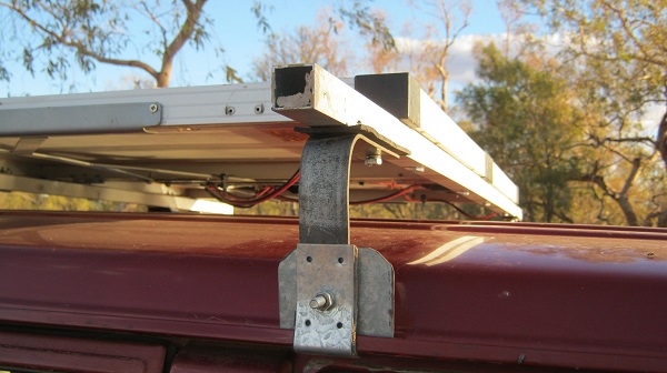
After the Harts Ranges the scenery from the road is a tad dull with few visible features. Arthur Creek lies around 70km further along the road and that is where I camped for the night. Although it was only 3pm and the flies were extremely friendly, I had to stop to make up two new brackets for my rooftop solar panel frame, as they had broken. The road was dead quiet and I had no other campers using the place. Just on dusk a group of Dingoes started howling in unison and not that far from where I was encamped. They may have snared a kill as there were lots of cows with young calves in the area.
-
- Tools out

-
- Drilling
-

- New bracket
-
- Beer time

-

- All lit up
-
- Tucker time
I had slept seven hours by 3.30am and as it was close to Full Moon and bright as daylight outside, I decided to make an early start. But an hour elapsed between rising and setting off, as breakfast had to be made and eaten and the usual packing up had to take place. Once you have a camping routine you have to stick with it.
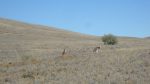
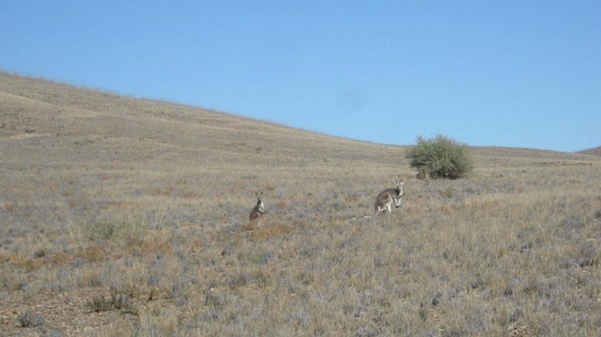
Early morning showed up four large Kangaroos on the road and something I had not seen before in my years of driving the Plenty. There were a few night birds too. The road surface was atrocious in places and at one point I was down to 20kmh. As the day began to break I was coming off a plateau and the early morning colours were great. Two vehicles passed coming towards me and then as the sun rose above the horizon it made visibility too hard and so I stopped to do another refuel and to wait for the sun to gain some height.
-

- Early morning
-
- Moon set
-
- Daybreak

Once I had cleared the Northern Territory Queensland Border, 4km east of Tobermorey Station, the roasd name changes to the Donohue Highway and it rises back up on to a long plateau which gently drops down in to the Georgina River catchment. The 249km gravel road to Boulia was in exceptional condition at the extremities of its range and as one got closer to Boulia it deteriorated. This is the western side of the Channel Country and when it rains the waters run deep and wide. The Mitchell Grass plains in the early morning were stunning. There were only a few travellers about. I stopped and spoke to one elderly couple towing a road van to tell them to take care on the Plenty. There wasn’t much water in the Georgina River and once past the river system the road rose up again to another small plateau. Sections of the Donohue Highway have been sealed so as to cut down water damage repair costs.
Mitchell Grass plains of Western Queensland
Georgina River flood marker. The top of the pole on the left shows the 7 metre mark.
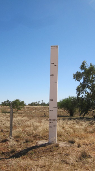
1974 was still the biggest flood of all
At Boulia I did a refuel, had a shower and had something to eat before setting off down the sealed road to Bedourie. Once again the Gibber Plains come to view once one gets out of the tree line. Later that day I ambled through Bedourie remembering the hot spa I had there last year. I was going to stop at the artesian pool but considered it too late in the afternoon to get the key and so I kept on driving.
Not long after Bedourie I looked for possible campsites either side of the road and pulled in a hundred metres or so off the road and under the trees on the banks of Cootamietchie Creek. The flies were seriously friendly as I set about cooking a meal. They died down after 6.30pm and I was able to eat my food in peace. Full Moon rose in the east and threw eerie shadows about me.
I was ready to turn in for the night when I thought that seeing as I was going to have another near daylight night, I might as well keep on driving. And so I did. Just cruised along at 80kmh. I had the whole road to myself with no traffic in either direction and no animals either. There are still some unsealed sections on the road to Birdsville but they were in good repair. Around 11pm I pulled off the road at Dingo Caves viewpoint , about 16km out of Birdsville and slept soundly.
I had to wait for the servos to wake up for a refuel at Birdsville and then I went and rustled me old mate Ian up for a coffee and a natter. By 9am I was on the Birdsville Development Road heading east towards and then south by taking the Cordillo Downs Track to Innamincka and beyond.
-
- Dune ripples
-
- Gibber plains
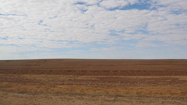
The drought has hit hard out here. All one can see is Gibber Plains. When it rains the grass seeds lying hidden in between the rocks will spring to life for a sea of green grass for a couple of months and then the pastoralists can fatten their cattle for the next market. But for now, things are not looking good!
-

- Dildo Downs
-
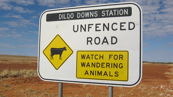
- Queensland South Australia Border
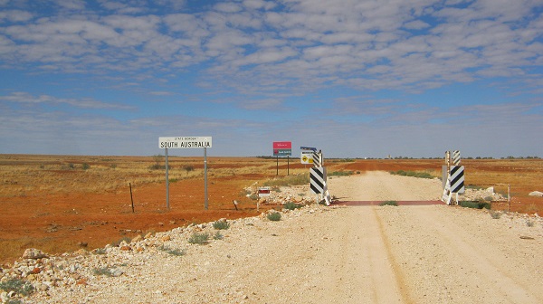
At the Queensland South Australia State Border some wag has made an alteration to the Cordillo Downs sign changing it to Dildo Downs. This is also where the good road ends and then deteriorates to a graded station track once in South Australia. And the track is a typical station track, meandering along in a never-ending series of bends.Cordillo Downs has a large Wool Shed which was built in 1883 from sandstone rubble quarried close-by. For over 60 years Wool was shorn and transported away from here to southern markets and overseas. It was once regarded as Australia’s largest Sheep Station and ran 85,000 head of sheep. In a good year now it can run up to 7000 head of cattle. The owner of Cordillo Downs Station has made the Woolshed available for close-up viewing by the public.
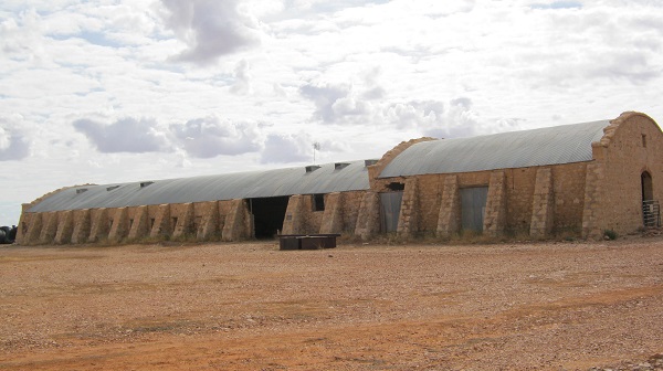
Cordillo Downs shearing shed
Ever mindful that the Innamincka Store shuts at 5pm I was pushing a bit harder along the corrugated track to Innamincka. The closer I got the more dust appeared on the horizon and it soon came about that I was in the thick of road trains carrying supplies to and from oil and gas mines in the vicinity of the Innamincka Regional Reserve.
I made it to the bowser by 3.30pm. Innamincka was busy with tourists everywhere and a number of road trains parked or moving around. I decided on taking the Old Strzelecki Track to meet up with the Strzelecki Highway cutting out some badly corrugated roads as I recall from previous experiences out there. This track, however, is also used by everyone, so it seems, and progress was slow with lots of dust and corrugations. By the time the sun started to set I was nearing the Moomba Gas Plant and then there were road-works.
-
- Rush hour near the Moomba Oil and Gas Field

-
- Dust and corrugations

-
- Coopers Creek at Innamincka

Signs everywhere along the Strzelecki denote that there is no public access to anywhere off the road even though this is still the Innamincka Regional Reserve. I was looking for a place to camp, as it started get dark, and I needed to stop. About ten kilometres south of Moomba is saw a claypan about 150metres off the road and swung the Datto up over the sandy windrow and made it without sinking in the soft sand about. And as luck would have it there was some dry wood where I stopped to supplement my own supply. I set up camp for the night.
Quite a bit of traffic passed and many vehicles slowed down to obviously look at my fire but no one approached me. A couple of road trains tooted a hello and by 9pm the road was quiet. I rang Jude to tell her of my progress.
Another early morning getaway and I was on the road by 4.15am. Heading south and the Strzelecki ‘Highway’ is hard packed in places and generally good. There are a number of 7 kilometre sealed sections. I understand that the oil industry has been lobbying the South Australian Government to bituminise the whole of the Strzelecki as with the expansion of the oil fields and increased production more and more traffic and especially heavy vehicles are using the road now. But the government wants the oil industry to contribute to the roads and they will not do it and so a stalemate occurs. Reluctantly the government is sealing trouble spots along the road. I spoke with a truckie via radio near Montecolinna Bore and he said that there were some bad patches of corrugations further south. With this in mind I decided to take the track from Mount Hopeless to Mooloowatana Station, Mulga Bore, Balcanoona, Wirrealpa Station, Wearing Gorge to Blinman. Remind me not to do this again! I also drove into Montecolinna Bore Camping Area just to have a look. There were about 6 camps. Then I could not find my way out in the ore-dawn light and drove around in circles no doubt waking everyone from their slumbers!
The track to the east of the Flinders Ranges isn’t all that corrugated but there are so many twists and turns and poorly maintained cattle grids and washed out dry creek-beds that you are forever changing gears. The countryside to the east is rather featureless with Lake Frome lying off in the distance. As you get closer to the Flinders Ranges the view improves and Wearing Gorge is the start of the hilly country.
-
- A creek crossing in the Flinders Ranges
-
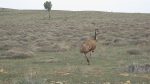
- An unhurried Emu

I was able to buy a nice coffee in Blinman and then set off on the last 250km towards home. I aired up at the information board for Flinders Ranges National Park back from 25psi to 35psi and did my last refuel using my trusty Tanami Air Fuel Pump. Two more solar panel brackets had broken. Now the driving was a pleasure on sealed roads again, after thousands of kilometres of rough gravel roads and bumpy tracks. Early winter rains had transformed the country side to a lush green colour which is a far cry from the drought affected areas of Western Queensland.
-
- Minburra Plain near Orroroo
-
- St Mary’s Peak on the eastern end of Wilpena Pound

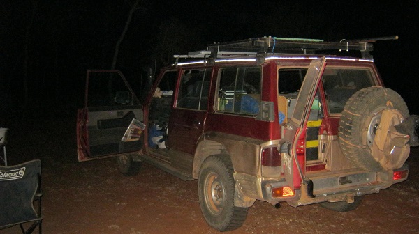
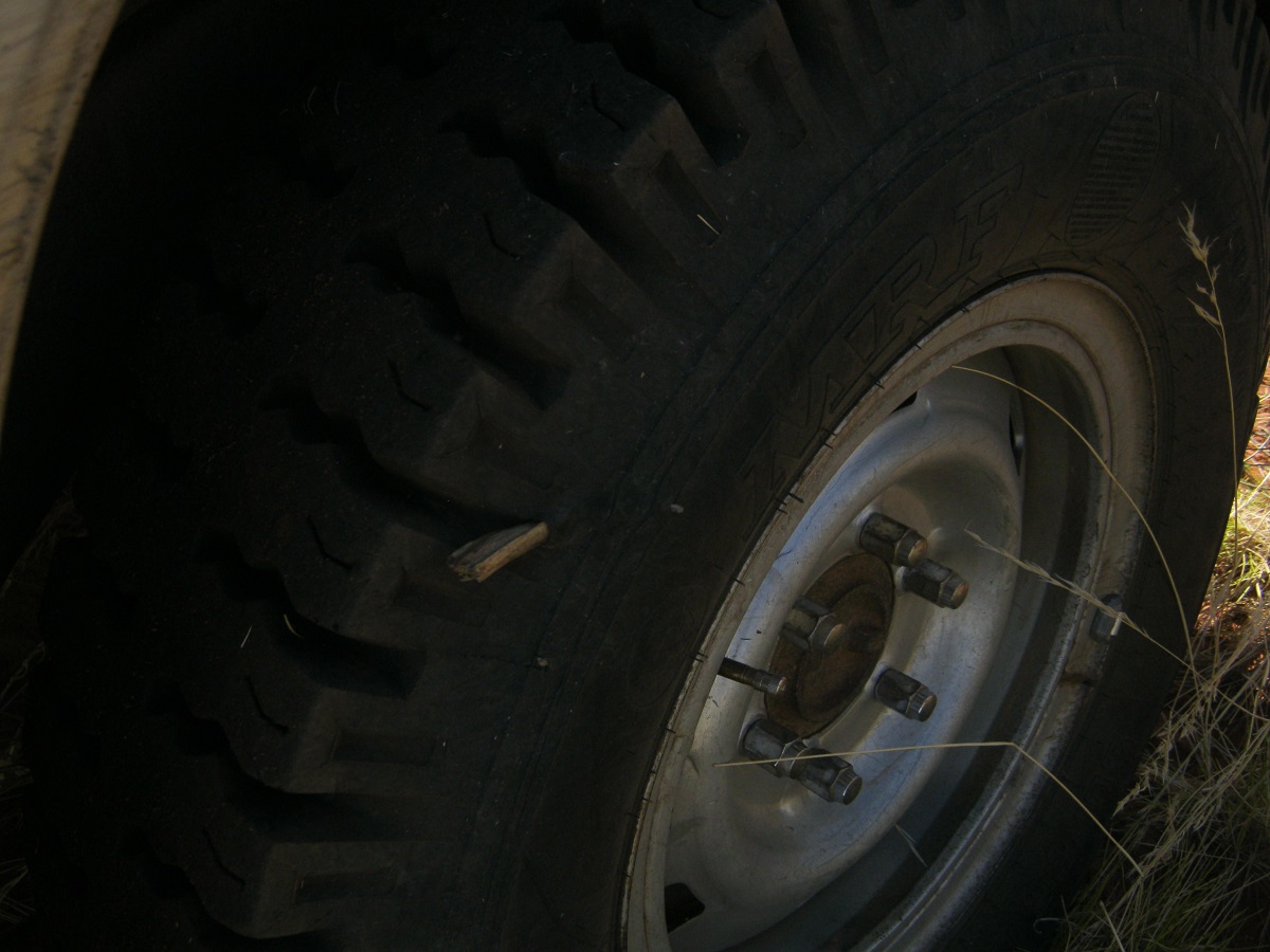
I enjoyed my trip away. This journey was a test to see how I would handle camping with the onset of health issues. I managed very well with my ‘in car’ fold-out bed, clothes, cooking gear, fridge, extra fuel and portable toilet. My power supply worked well with charging from the 160watt solar panel on the roof and with help from the cranking battery. My ‘bush tyres’, the MRF 16ply crossplies, ran well and without any punctures but they have come to the end of their life after 5 years and 45,000 kilometres, as the tyres have hardened and lugs have been breaking off. Time for a new set. The Datto’s 4.2 litre diesel engine is still running well with good fuel consumption and very little oil use now at 491,000km on the clock. It will do for a while yet!
And so to planning more trips away for this year, and in the future.
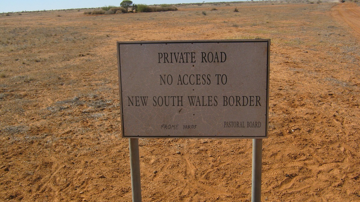
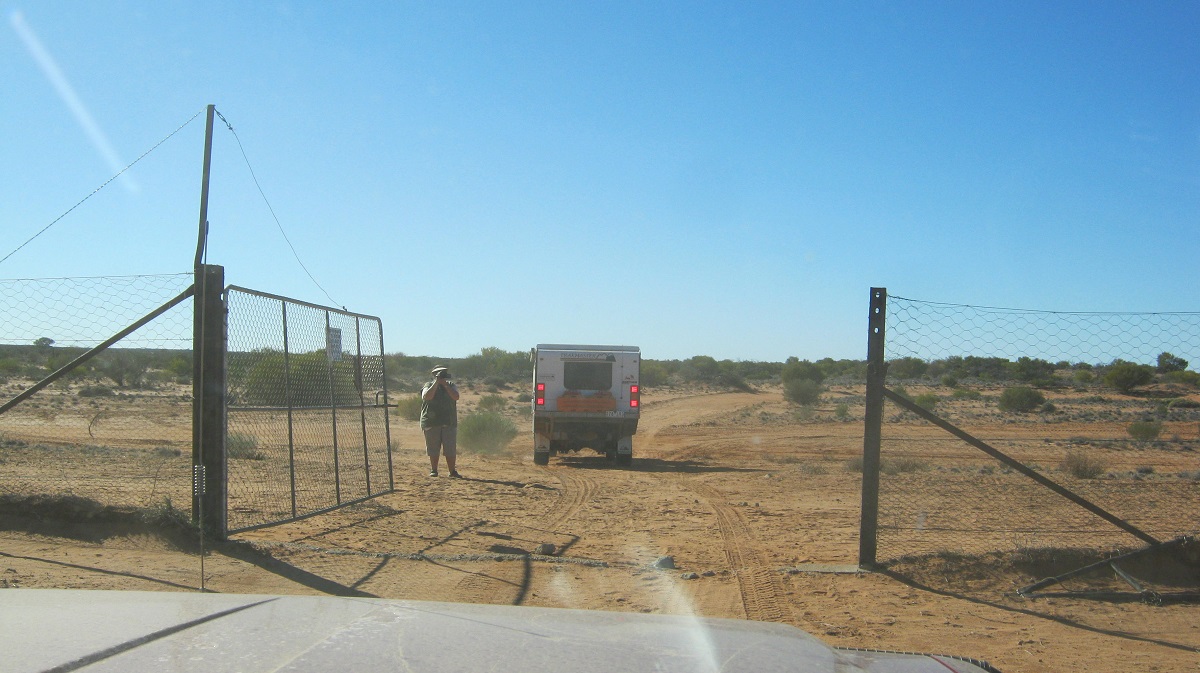
Farina to Hawker Gate 2014
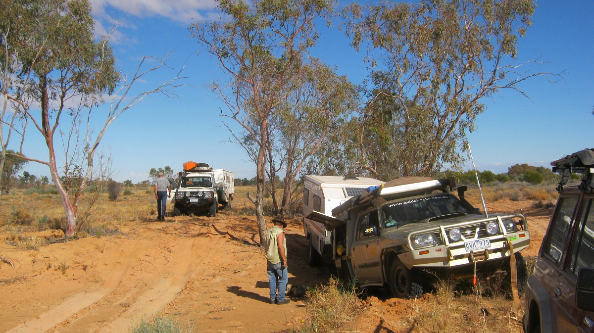
I was privileged to be invited along for this journey by Ron and Viv Moon, authors of many Australian Guidebooks. We have been friends for years but had never done a trip together and this was a good opportunity to join the group, which included their long-time friends Neil and Chris, from Western Australia.
It had taken Ron nearly a year to get access permissions from the owners of 7 pastoral Properties we needed to cross.
Flinders Ranges View
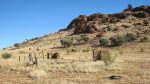
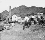
We all met at Farina, an old Railway Siding on the erstwhile Ghan Railway, between the towns of Lyndhurst and Marree in South Australia. Originally called The Gums, Farina was settled in 1878 by some optimistic farmers who thought that the area might be good for growing wheat or barley but there was never enough rain at the right time for that. Until 1884 Farina was the railhead in the north. During the wet years of the 1880s, plans were laid out for a town with 432 ¼-acre blocks which may have been suitable for growing crops. The town grew to reach a peak population of approximately 600 in the late 1800s. In its heyday there were two hotels, an underground bakery, a bank, two breweries, a general store, an Anglican church, five blacksmiths, a school and a brothel. By the time the railway line closed in 1980 the town was lying in ruins. Farina also became well known for the 1143kg Iron Meteorite which was found just north-east of the town
In recent years a group of dedicated volunteers have been working on restoring some of the old buildings and the bakery is now in working order during the winter school holidays when thousands of tourists flock through the Outback. The owners of Witchelina Station, which lies adjacent to Farina, have provided camping facilities below the base of a small hill with the area covered in couch grass to make for relatively dust free camping. There is also the Farina Cemetery, now being restored and with interpretive boards as to the history of the place, perched up on a windswept hill where many of the original inhabitants of Farina are resting
That evening friends from Melbourne, Adam and Kir, who had been travelling the Kimberey region, dropped in and stayed over with us. It was a good get-together.

Farina Ruins
We crossed the Oodnadatta Track after leaving Farina and started our journey along station tracks and passing through saltbush plains. Digital mapping was of great help although our maps show tracks that have not existed for some years. We had started off on Witchelina Station and were on the vast Mount Lyndhurst Station for most of the day. The latter station is 865,000 acres in size
A bit of Googling found this interesting note on Mount Lyndhurst Station pertaining to Angel Hair
“ Winter 1914 Mid-afternoon Ca 60mins. Mount Lyndhurst Station Far North of South Australia (30.12S 138.34E)
“I would like to add my experience with this silk like substance which has fallen on farms recently. During the unusual weather conditions following the break of the 1914 drought, in the Far North of SA (at a boundary riders hut called Leslies Well on Mount Lyndhurst station) the weather was cool and damp following the first winter rains.
In mid-afternoon, on a steady light breeze from the south-west, this substance floated by at a constant altitude. Some pieces, six to nine inches long, fell to earth and dissolved in about minutes, leaving no trace.
This visitation lasted about an hour, and was followed by another two or three weeks later, in the same conditions. My late father spoke of several visitations, especially after the great drought of the 1860’s. The consensus was that the substance was an atmospheric fungus.”
Source:
1. Letter to the Editor from E C Finn, Seaview Road, Lynton. Adelaide Advertiser. 25 May 1968.

Saltbush Plains
We called in to the homestead to touch base with the Manager and then started heading for the foothills of the Northern Flinders Ranges. Very soon we were in country with many dark sedimentary rocks protrude at acute angles from the surface of the earth. This area, which is close to the ranges, is also the breeding ground for the Chestnut-breasted Whiteface bird which is popular with Birders.
-
- Thousands of Corellas find something to nibble
-
- North Flinders Foothills
The track we were following was originally built and used to transport raw materials from mines and to take supplies to. It ran from Milparinka and the Mount Brown Goldfields in Western New South Wales, to the Railhead at Farina Siding from the early 1880’s. The freight was usually carried by camel trains.
-
- Old Camel Track and Coach Road
-
- Sedimentary Rocks

-
- Dropping down into the Frome Riverbed

We camped on the banks if the Frome River the first night and sat all rugged up around the fire till late. Early morning Dingoes gave us a mournful serenade just before sunrise.
At Balparana Well we found the dam in ruins as well as a shepherds hut. In the creek there was some more modern day graffiti, where names were written on a flat stone in eloquent lettering, dating back to 1875.
What was noticeable along this route was the absence of sheep. I assume that the station has destocked their flock due to the drought conditions which are prevalent now.
-
- All that remains of a Shepherd’s Hut

-
- They were here…

-
- The wide open spaces

The track from there onwards was slow going through the hills but it was a good morning for sighting many Kangaroos and some Wedgetail Eagles as we made our way off Mt Lyndhurst Station past Umberatana Station along a public road and then entered Mt Freeling Station for access to the Yudnamutana Mining Area. The last 10 km in to Yudnamutana was quite spectacular as we crested the hills into valleys below and the caravans made the tow rigs work hard through the dips and gullies.
-

- It caught my eye…..
-

- Heading to Yudnamutana
-
- Yudnamutana Valley

-
- Being watched…..
I was sent on ahead to secure a camp spot. The area was strewn with small rocks and some old bricks and we thought that there must have been a brick-making kiln nearby in earlier times. There was enough dry wood lying around and we had a roaring fire to keep the cold away.
I can smell the tucker….
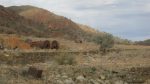
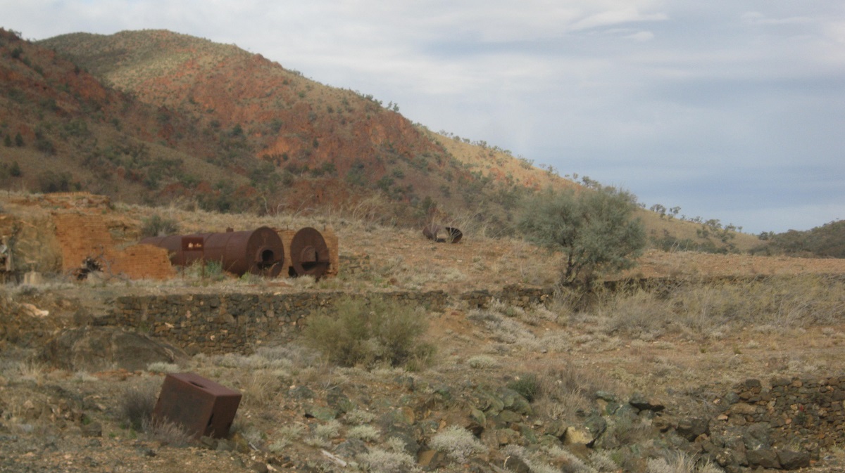
The Adnyamathanha Aboriginal people lived here as Stone Age Hunter Gatherers until the arrival of the Europeans. The copper ore deposit was discovered in 1859 and mining commenced in 1862. Problems with obtaining water for the draught animals who worked the mine saw its closer a couple of times and the last time being 1912. All that remains are the boilers, some ruins, mine shafts and a cemetery.
-
- Yudnamutana in the 1880’s

-
- Hard work digging this….

-
- All that is left of Yudnamutana 2014
-

- And a lonely grave…..
Our next destination was Arkaroola Wilderness Sanctuary and Resort. Located 600km north of Adelaide and 130km east of Leigh Creek, and in the ruggedly spectacular northern Flinders Ranges, this 610sq km Wilderness Sanctuary, contains some of Australia’s most spectacular mountain views and offers a range of accommodation facilities, tours, walking trails and 4×4 self-drive tracks.
-

- A small creek crossing
-
- Repairing a wash-out

-
- Domed kiln at Bola Bolana Smelters near Arkaroola

Arkaroola features rugged mountains, towering granite peaks, magnificent gorges and mysterious waterholes. It is the home to over 160 species of birds and the endangered Yellow-footed Rock-wallaby.
We found a quiet campsite in the campgrounds away from other groups and I managed to rustle up some wood for the fire while the others went to the restaurant for dinner. We did not spend any time looking at the surrounds as we had been here before on a few occasions.
-

- No through road……
-
- All that is left of Old Mooloowatana Homestead

-
- Dog Fence warning…
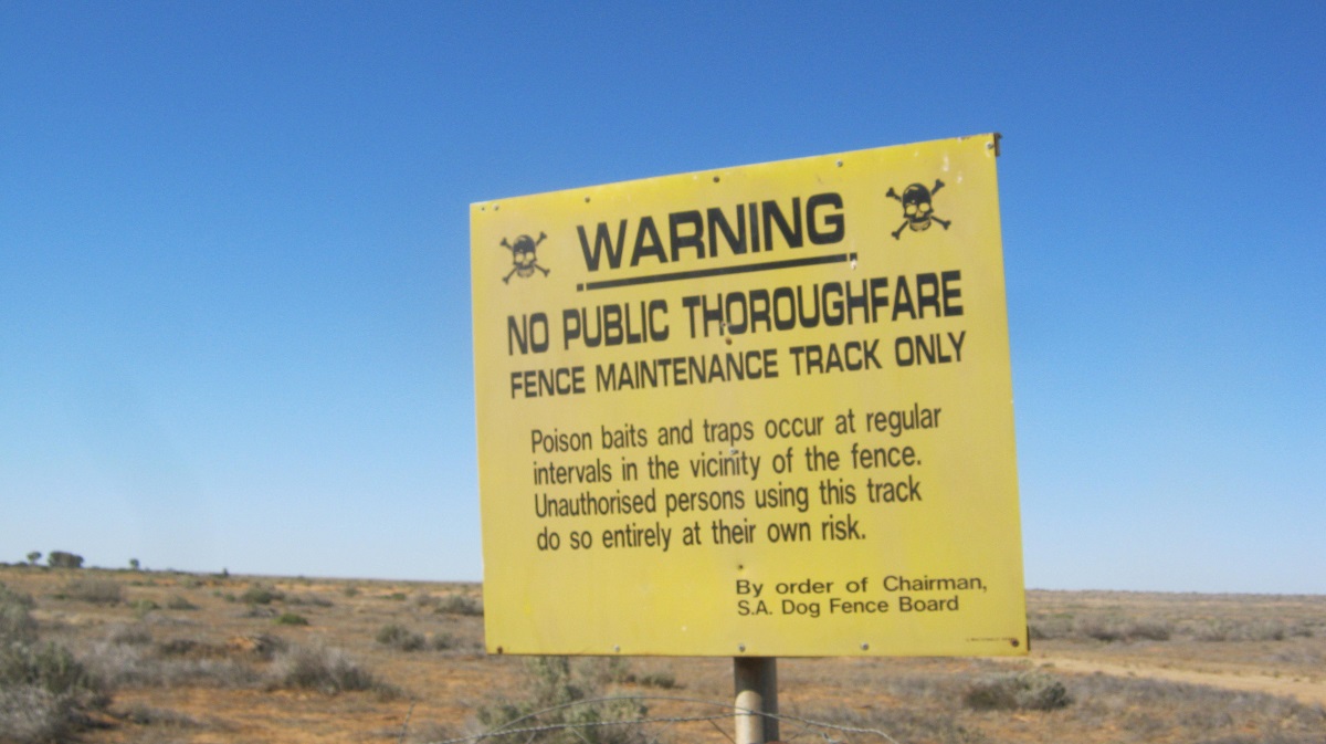
The following morning we drove south out of the Sanctuary, through the Gammon Ranges National Park and then turned north at the park headquarters at Balcanoona for a 70km run up to where we were to turn east again en route to the South Australia – New South Wales Border and the Dog Fence.
Over the next two days we drove along station tracks across the pastoral leases of Mooloowatana, Frome Downs and Quinambie. At Mooloowatana Ruins I found an Aerated Water bottle which was made in a bygone era in my town of Peterborough. About a kilometre past the ruins we crossed through the Dog Fence for the first time.
‘ The Dingo Fence or Dog Fence is a pest-exclusion fence that was built in Australia during the 1880s and finished in 1885, to keep dingoes out of the relatively fertile south-east part of the continent (where they had largely been exterminated) and protect the sheep flocks of southern Queensland. It is one of the longest structures in the world and is the world’s longest fence. It stretches 5,614 kilometres from Jimbour on the Darling Downs near Dalby through thousands of kilometres of arid land ending west of Eyre Peninsula on cliffs of the Nullarbor Plain above the Great Australian Bight near Nundroo. It has been partly successful, though dingoes can still be found in parts of the southern states. Although the fence has helped reduce losses of sheep to predators, this has been countered by holes in fences found in the 1990s through which dingo offspring have passed and by increased pasture competition from rabbits and kangaroos. (Dog Fence Source: Wikipaedia) ‘
I had always had a notion to get to Lake Callabonna. Having read up on some of the fossil finds there mainly of the extinct marsupial, the Diprotodon and the flightless mega fauna birds, the Dromornithids
I became intrigued with the place. But the South Australia Museum controls the area where the fossils have been found and as there are no public through roads to the area access is non-existent. Our drive took us right past the southern extremity of Lake Callabonna. To get a better view I drove up on to a small mound only to find that it was a large rabbit warren and the Datto bogged to its axles immediately. I managed to extricate myself from the predicament and then found a place where I could walk down to the lake to take some photos
")
Lake Callabonna (salt)
Our first artesian experience was on Frome Downs Station at Mooloowatana Bore where the waters were running non-stop. The water does not have a large outflow though as it sinks into the earth after about one hundred metres. It is a cattle watering point. From this bore the track is known as the Mount Brown Track as it was the main access from the Mount Brown Goldfields to the Farina Railhead.
-
- Abandoned machinery
-

- Life and death in the outback…..
-

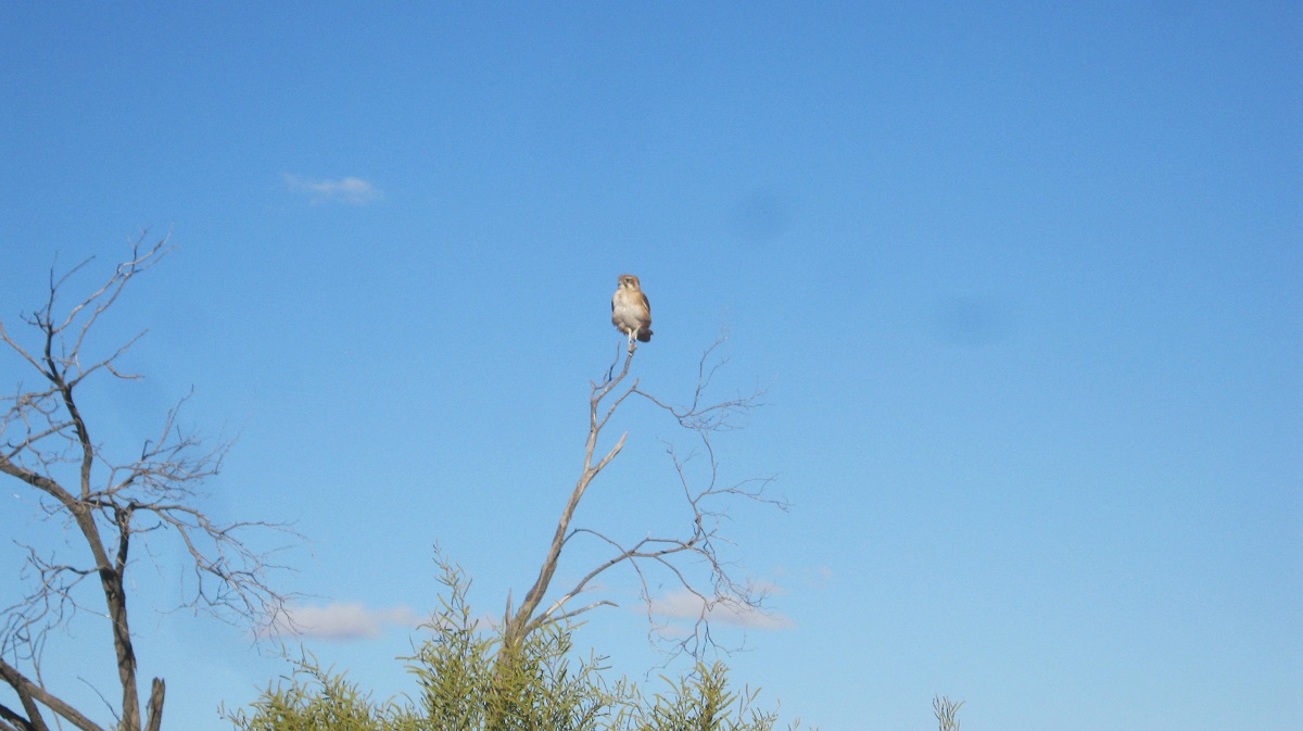
- A Little Falcon surveys his territory
At Lake Wittakilla(dry) we found a transportable building and a huge Trench Excavater machine and wondered what on earth had been going on there. There was evidence of a great thirst according to the number of beer cans in one of the rooms in the building.
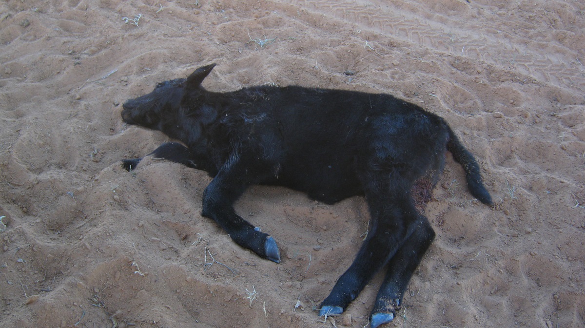
Healthy looking Black Angus cattle roamed in the dune corridor of the Strzelecki Desert finding rich sustenance in the arid area plants. A dead poddy was the interest if a Dingo when we came along but it soon decamped to a distance far enough to watch us suspiciously, waiting for its chance to go back and have a feed.
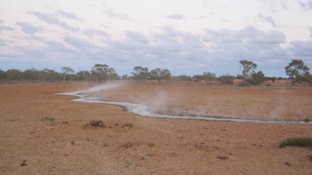
We spent the night near Yandama Artesian Bore. Artesian Bores were drilled into the Great Artesian Basin from the 1880’s to depths of 1000 metres. By 1915 there were 1500 free flowing artesian bores in Australia. Yandama Bore was drilled in 1900 and at one stage the water outflow ran for 24 kilometres before a restriction was placed on the bore head to stop the high volume flow. The artesian waters normally have a sulphur taste to it and can be hot up to 100°C. Yandama Bore would be flowing out at about 50°C. Hot to touch but about 50 metres away the water is bath temperature and after not having a decent wash over the past few days my bath in the desert was especially nice.
-
- Yandama Artesian Bore

-
- Yandama Artesian Bore outflow
An Outback Character by the name of Fred Blakeley, a man of little consequence according to recorded history, but who managed to write and publish two books over his lifetime, was riding his bicycle along the Mount Brown Track in the dead of night around 1910, when he came across Yandama Bore. The noise fascinated him and so he walked closer and struck a match only to see a sign stating ‘No Naked Flames…Volatile Gas Emissions”. Luckily he was spared an accident when he quickly extinguished the flame.
Our camp was good and initially we worried about the thousands of Corellas making a nose through the night but they flew off to roost somewhere else. The cattle too had their drink and then moved off into the dune country for the night.
-
- Strzelecki Desert

-
- Strzelecki Desert

In the early morning the Corella’s returned and shortly after sunrise took off again with a great noise. We then saw a Black Dingo loping through the flutter of wings against the dune background. It carried on along the dune corridor and later gave its mournful howl to rustle up other members of its pack who were hunting somewhere else no doubt.
The next morning we unexpectedly came to an obstacle in the form of a washed out creek crossing although the station owners had said that the track had been graded recently. Recently in country speak could mean this year or last year or the year before. Context is used loosely sometimes.
The shorter route across the obstacle was chosen but this turned out to be the more difficult one and we had a bogging, as towing a relatively heavy caravan over these tracks, does make things a tad complicated at times
Being the only non-towing vehicle in the group, I scooted across the sand, and then set up to snatch the stricken rig from its predicament. This took two snatched and quite a bit of fiddle around to get the rescue right. Then we had a cuppa tea.
-
- Whoops a daisy
-
- Earlier travellers left their bits behind
-
- Abandoned project at Coonans Bore

At Coonans Bore we were surprised by more buildings, some of which looked like rolling railway stock. We can only surmise that these buildings are used for stockmen when mustering is taking place.
That night we camped near Bluebush Dam on Quinyambie Station on a small clay-pan. Neil wandered off to bag some rabbits and to report on a baited carcass and a dead Dingo nearby. I took the opportunity to have an afternoon snooze while the others found things to amuse them. Ron had problems with the wheel-nuts coming loose on his truck and it then that we realised that he had fitted the new tyres he had bought, to non Nissan rims.
To save Ron the hassle of having to drive back to Peterborough I suggested that we swap wheels in the morning as I had spare Nissan rims at home and seeing as we were meeting again in Alice Springs at the end of August, I would have the tyres swapped over on to the Nissan rims and we could do the change over when we meet up. And so that is what we did, with Neil lending a hand.
-
- Passing through Hawker Gate
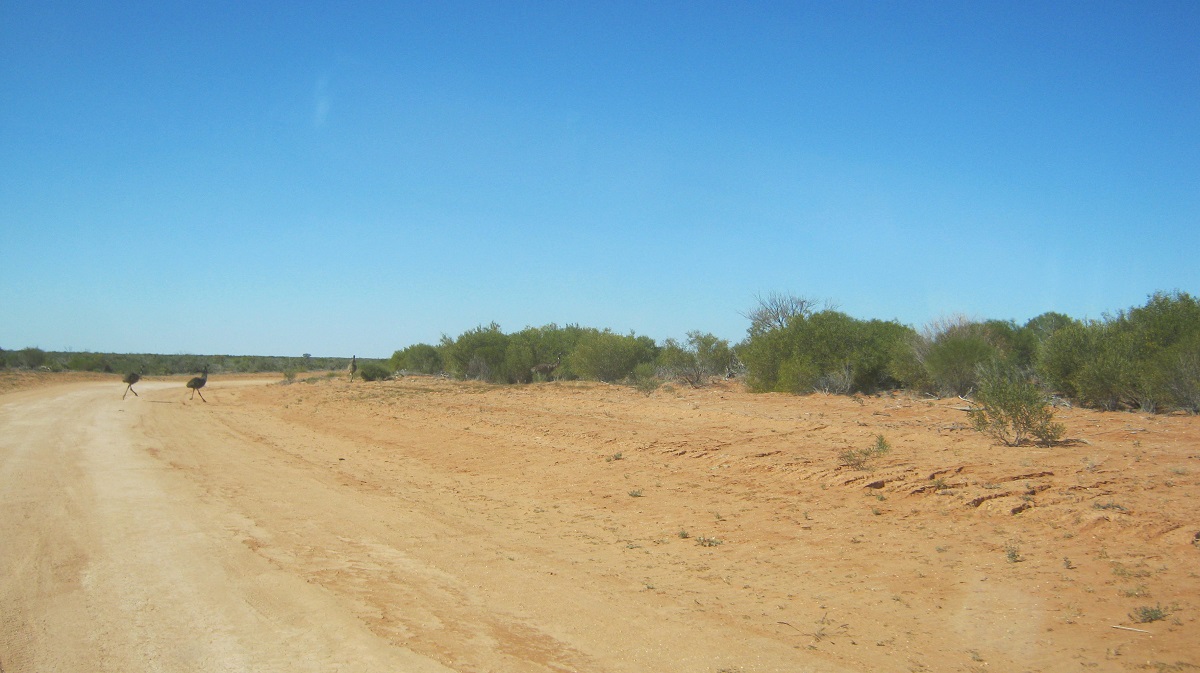
-
- Emus crossing the road
-
- Following the Dog Fence

-
- Over a small dune in the Strzelecki Desert
-

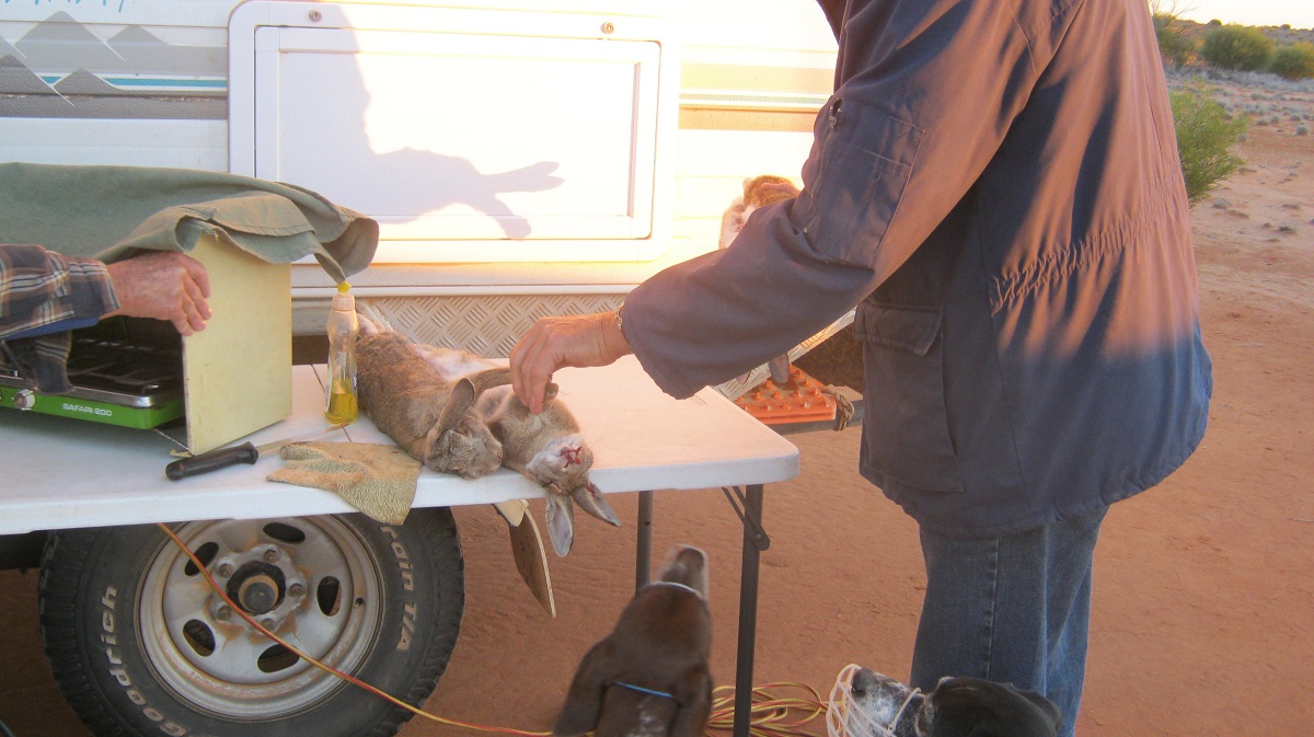
- Skinning rabbits
In the morning it was a short journey to Hawker Gate on the South Australia –New South Wales Border and still part of the Dog Fence. I said goodbye to the group as I needed to get home that evening.
My journey to Broken Hill was 280km in distance and the first 140km was a sandy or gravel surface. One passes through a number of stations and I counted 36 gates, 16 of which I had to open. I also had to tighten the wheel-nuts every 150km or so as they still tended to work their way loose. I arrived home just on dark having driven 580km for the day.
Lylalya / O’Grady’s Well 2014
Back in the 1970’s I was talking to a bloke about exploration by European explorers and the name of Michael Terry came up and that of a place called O’Grady’s Well and its unique construction. Over the ensuing years I have read most of Michael Terry’s books on his exploits throughout Australia and have attempted to visit these remote places. Michael Terry was the leader of fourteen inland Australia expeditions between 1923 and 1935, mainly working for Adelaide mining companies seeking minerals. Stan O’Grady was a member of Michael Terry’s 1932 Mineral Exploration Expedition into Central Australia.
Everything takes time, and eventually, after careful negotiations with the relevant Indigenous Landholders and management authority I was granted a permit to visit the area with strict conditions attached.
O’Grady’s Well, lies east from the top of Lake Mackay, in Central Australia and at the eastern tip of the Sandford Cliffs. The Northern Territory Western Australia Border passes through the middle of Lake Mackay and is about 35kilometres from Sandford Cliffs directly to the west.
We set off from Alice Springs in the Northern Territory on 25th of August 2014 with me leading in the convoy of 5 vehicles bound for O’Grady’s Well.
Although the Well is well known by its Walpiri name of Lylalya, or that being the best understanding of the pronunciation I could get, from one of the Traditional Owners at the Nyirripi Community. The name O’Grady’s was unknown to him.
My interest in the well is that Michael Terry had published his opinion that he thought that it was doubtful that the indigenous people could have constructed the well due their lack of suitable tools or expertise
Excerpt from Michael Terry’s book ‘Sand and Sun’
Chapter 7
A Forced March
Close on sundown we camped at the eastern end of the Sandford Cliffs where firewood was scarce and only stunted bushes grew around. Chou-chou took no interest in our affairs but trotted ahead, tail cocked high, towards the hills. We watched him.
“That dog is after something. Watch him” said Stan, “look at him now. He is nosing around that big dark anthill. He knows this place -bet anyone a cigar. Bet another water is there.”
“I’ll take you,” said Ben, “I’m a sport”
“We’ll have a look first thing in the morning,” I said
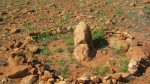
Sure enough, Chou-chou was a water finder alright. We called it O’Grady’s Well, having no means in this instance, as in some others, of ascertaining the aboriginal name. It was the largest most outstanding native well any member of the party has ever found. Hewed circularly out of sandstone, ten feet in diameter to a depth of thirty feet, this enormous excavation, enormous because no tools are known to the blacks, must have taken years to create. Personally, ill-founded as such an opinion may seem, I have strong doubts whether the locals could have done the work. It intrigues one to speculate on the probability of a once higher civilisation having been in this part, a people more highly developed than the present occupants, a folk lost in history who dwelt in a pre-arid age, but succumbed or departed as the slow resistless wheel of change found them not able to adapt themselves.
The erstwhile largeness of the shaft had been ruined by floods, rare but violent in the desert, which down a gutter from the hills had poured a detritus, sand, dirt of every kind. A large hole, delved corkscrew fashion curled down to the obscure bottom of the well. Down this, holding on to ropes linked together, I climbed till it became too dark to see. Peeping ahead with a lighted candle I espied a little pool of water where the lubras had left off work.
“Water alright.” I sang out, “Send me a billy. I will send some up.”
On top Ben tried a mouthful and spat it out
“Ugh. Horrible stuff, wouldn’t mind betting the camels won’t touch it. It’s as stale as the deuce,” he shouted at me.
“Never mind, get buckets and a shovel, cut any odd bits of timber you can find. We will build a staging for hauling and see if we can’t improve the supply and quality when she is cleaned out.”

The Gap Newhaven Road
We took the road to Newhaven Bird Sanctuary off the Tanami Road and beyond to reach the small community if Nyirripi, an Outstation of the Yuendumu Community.
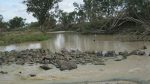
Our first night out we camped just off the access road near The Gap in the Siddeley Range and also not far from Wartapunya Waterhole, which we all went to have a look at. The waterfall would be spectacular when it rains.
Wartapunya waterhole

Lake Bennett
The next day we diverted into Lake Bennett (salt) for morning tea time after passing the Newhaven Homestead in the distance. Nyirripi Community lies in the foreground of Kartu/Mount Stanley. It is a small, tidy community, which is embarking amongst other things to entice camping visitors to the community. Since the establishment of the Southern Tanami Indigenous Protected Area (IPA) in the Tanami Region in 2012 moves are afoot to slowly develop the area to protect it and to bring in controlled visitation for recreational purposes.
Kartu
Our visitation caused some movement outside the Community Store, which is very well stocked and some of our crew started chatting to locals. It soon transpired, that, as we were driving through an area through which the Ethel Creek Track passes, that we needed special permission from ‘Alice’, the traditional owner of the area. In due course Alice appeared and gave me as trip leader the necessary permission to do just that. I could not quite understand what she was saying but just nodded approval and smiled. In the mean time I had left the windows open on my 4×4 and as I returned to it, two scrawny camp dogs alighted from the vehicle through the open window. They were obviously scrounging for food. Indigenous people love their dogs but some are not fed regularly judging by the skinny look of these dogs.
Our permit stated that we were to use the Ethel Creek Tracks to a certain point where we were to turn off heading west at given co-ordinates and that we were not allowed to visit certain hills seemingly along the way and were to follow a path there and back along the same corridor of two kilometres in width. I was also told to follow the track made by the Traditional Owners on their visit to the area of this year.
Eucalypts
Dingo
There are now two tracks to Alice’s camp on Ethel Creek. The old track runs due north to where it meets Ethel Creek and then turns west to Alice’s camp and beyond and a new graded track runs directly to Alice’s Camp put in by a mineral exploration company working in the area at present. I chose to drive the old track first.
Ethel Creek Track
The countryside was grassland and spinifex with Mulga, Grevillea and Eucalypts interspersed in patches of growth. Eventually the range rose slightly and we found ourselves in an area of sandstone domes where we had a break and did some exploring finding a gnamma hole in our wanderings. I had also seen a waterhole marked on our maps called Lucky Strike Waterhole and decided that we should look at it if possible. After we had crossed Ethel Creek my main aim was to find a clear camping area in the sea of Spinifex.
Not long after I saw an area of about one acre in size made up of grass polls with no prickly Spinifex in sight and there we made camp for the night. Firewood was soon collected and chopped into sizes and we settled down making camp and doing mechanical repairs. One of our party went for a walk to see if he could locate Lucky Strike Waterhole but his GPS co-ordinates and the actual mapping did not correspond on the ground. So the waterhole remained hidden from us. We sat around the fire swapping yarns till 10pm-ish when tiredness overtook us and we decamped to our beds. We had covered the fire with sand before going to bed and it smouldered through the night. A wind sprang up at around 3am and at 3.45am the fire ignited again and we were drawn from our comfy beds to douse it once more.
Setting off cross country
At the given GPS location as stated on my Permit Approval we turned west on to a faint track with an array of small hills immediately to the south and behind us to the east. Initially the track, which was made in June, went in a westerly direction but then it swung north and after a while I decided to cut my own track on a direct bearing to O’Grady’s Well to comply with my permit conditions. The cross country section of our journey was 165 kilometres for the return journey to the Ethel Creek Tracks and which included a short distance of scouting around the Sanford Cliffs.
Driving cross-country has its normal hazards of the inevitable punctures one experiences. Then there is always a danger of hidden obstacles such as washouts and rocks and termite mounds. The latter could be knocked over as they are made of hardened mud but underbody damage to the vehicle is always a worry.
-
- Stake

-
- Stake
-

- Fixing punctures
My experience over the years is to use Cross-ply Tubed tyres on split rims when attempting anything cross country as their build is far more robust than tubeless tyres. I advised the participants on this journey that if they insisted on going with me with tubeless tyres that they make sure that the sidewalls had at least a 3 ply rating. One participant arrived with 2 ply rating tyres and actually got less punctures than the vehicle in front. But that was in the line of probabilities.
The countryside was just beginning to take on its spring colours and although it had seemingly not rained for a while there were many plants in flower getting the water from underground caverns or morning dew, no doubt. Honey Grevillea flowers were starting bud and we were able to get a taste of the sweetness of the flowers. Spinifex moguls, 3 metre high Mulga shrub, Grevillea, Wattle and Eucalypts stood in our way and of course the never ending termite mounds were there to test our driving skills.
Spring colours
Cassia
Upside down plant Leptosema chambersii
Young Desert Oaks
Grevillia

Spinifex galore
Driving into the late afternoon sun at around 10kmh I hit an unseen hidden object in the grass with a thump and a bang and scraped across whatever lay beneath to clear the obstacle. It turned out to be what looked like fossilised termite mounds. Luckily my vehicle did not sustain any damage apart from a few underbody scratches. Later research revealed that these little mounds were remnants of ancient mound springs.

Fossilised Mound Springs
I found an open area with no Spinifex and we made camp for the night. We soon collected enough dead wood for enough heat to cook our tucker and to sit by the fire swapping yarns.
Camp
It was a hard drive the next day with one vehicle getting three punctures and many vehicles collecting flora debris in the engine bay or collected up against the windscreen. I picked up a stake but it only stuck in the top layer of the tyre and no puncture resulted. We drove a way south of the Mc Ewin Hills and stayed away from the area as per our permit conditions, although we could see the hills in the distance. We saw some camels and the flora was diverse with large patches of Holly Grevillea. Majestic Desert Oaks towered in the dune swales.
Pushing down Mulga
Following blindly
Out in the open again
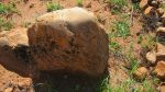
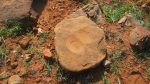
The day was not quite as hot as the day before but we stopped driving by lunch time. It was hard driving for me but we got through it all by 1pm and I drove to within one hundred metres of O’Grady’s Well. We camped in a clearing amongst the Tea Trees nearby.
O’Grady’s Camp
At last I was at this magical place I had conjured up in my mind. Having no allusions as to what it may be, I was not surprised that it was just a hole in the ground. Eighty two years had passed since the well had been ‘discovered’ and much if it had fallen in. The Traditional Owners had been here three months prior and had dug the well out to a depth of about 3 metres. A partial circular staircase had been uncovered. I could see how the well had come into being. In the wetter times the Tea Tree swamp had filled with water. The run-off from the hills about two hundred metres away had pushed up a natural dam wall a few metres beyond where the well is. Over time this created a wet patch as the waters from the swamp filtered into the ground. Using rocks and sticks the ancient peoples had dug deeper for water as the Tea Tree swamp started to dry up and the waters receded. They used sandstone rocks nearby as tools and fitted rocks with mud to the stairwell to keep it stable. As the waters fell in the swamp they dug deeper and deeper eventually reaching a depth of three metres or ten feet and ten metres or 30 feet wide (In MT’s book he describes the well as being ten feet wide and thirty feet deep but I think it may have been the other way around)
O’Grady’s Well

Lylalya
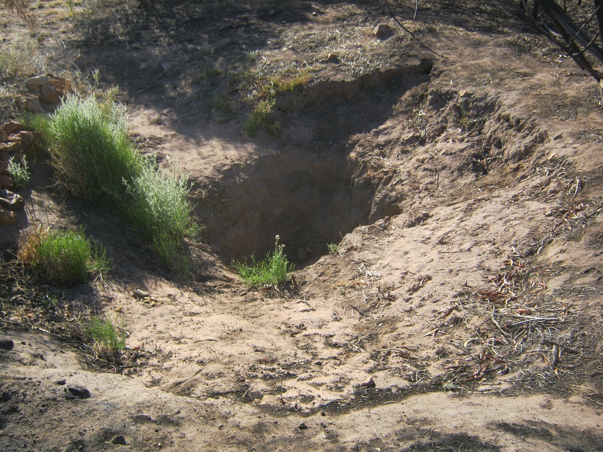
Lylalya
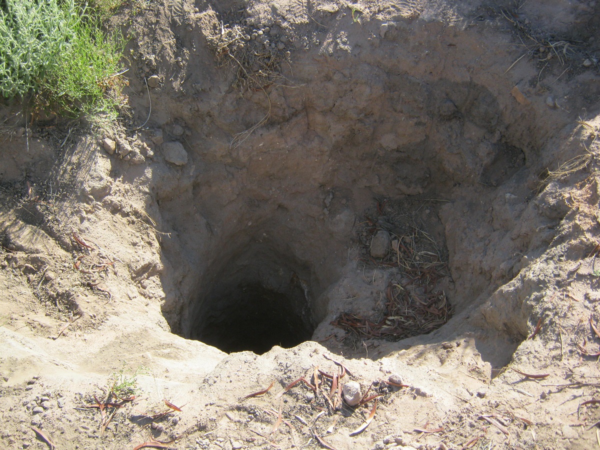
Lylalya
The following day we went scouting along the face of Sanford Cliffs for any existence of rock art or engravings. The Traditional Owners had conducted a burn-off three months earlier in the swale between the last latitudinal dune and the cliffs. The sandstone escarpment offered a number of small caves for the ancients to shelter in. One can imagine usage of the area by the nomads with shelter and water nearby in wetter times. No doubt there was wildlife around then to keep the nomads in sustenance but we saw only one crow and nothing else.
We climbed up the low escarpment and found some faint artwork in a small cave in the form of a goanna. Further along there were petroglyphs etched out on the floor of a cave and buried in sand nearby was a very old wooden Coolamon which could have been used for carrying berries or seeds. We left everything as we found it and returned to camp.
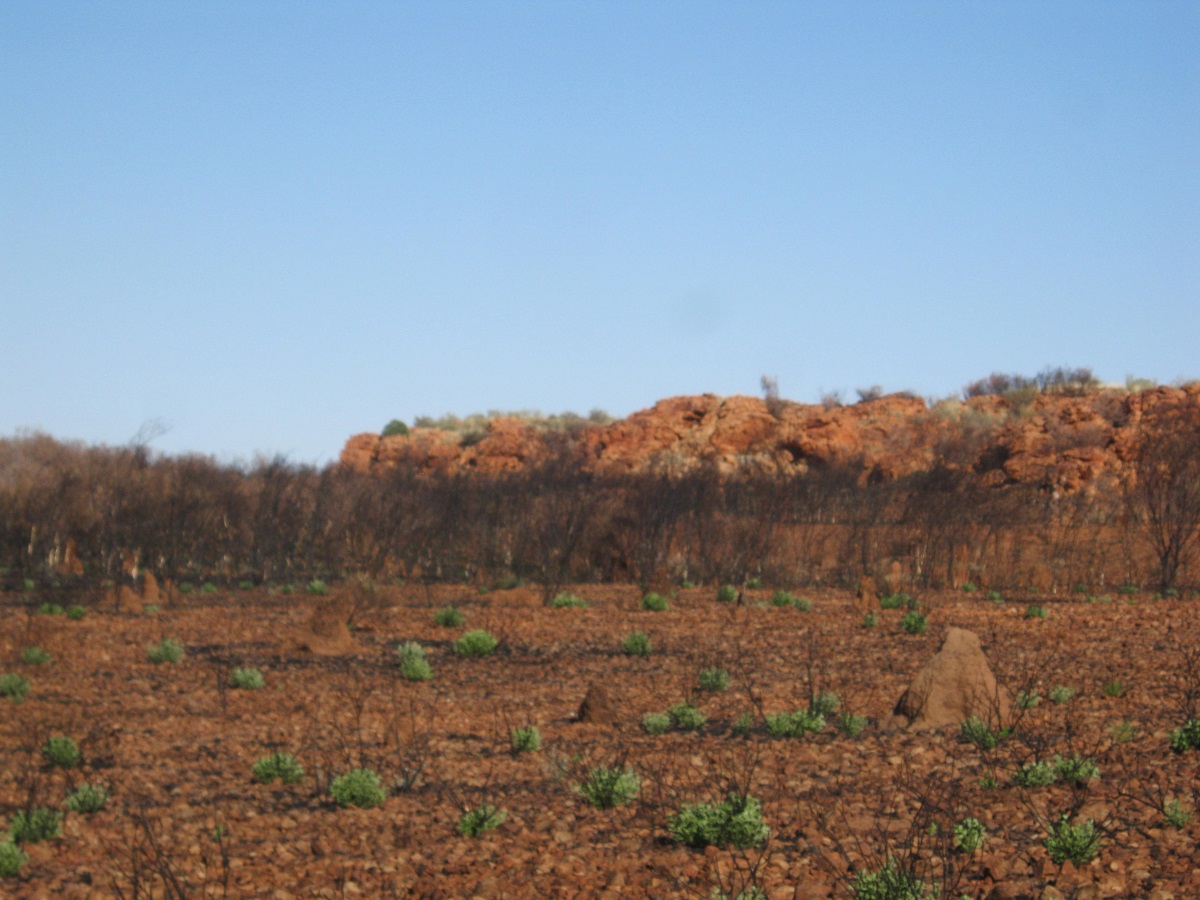
Sanford Cliffs
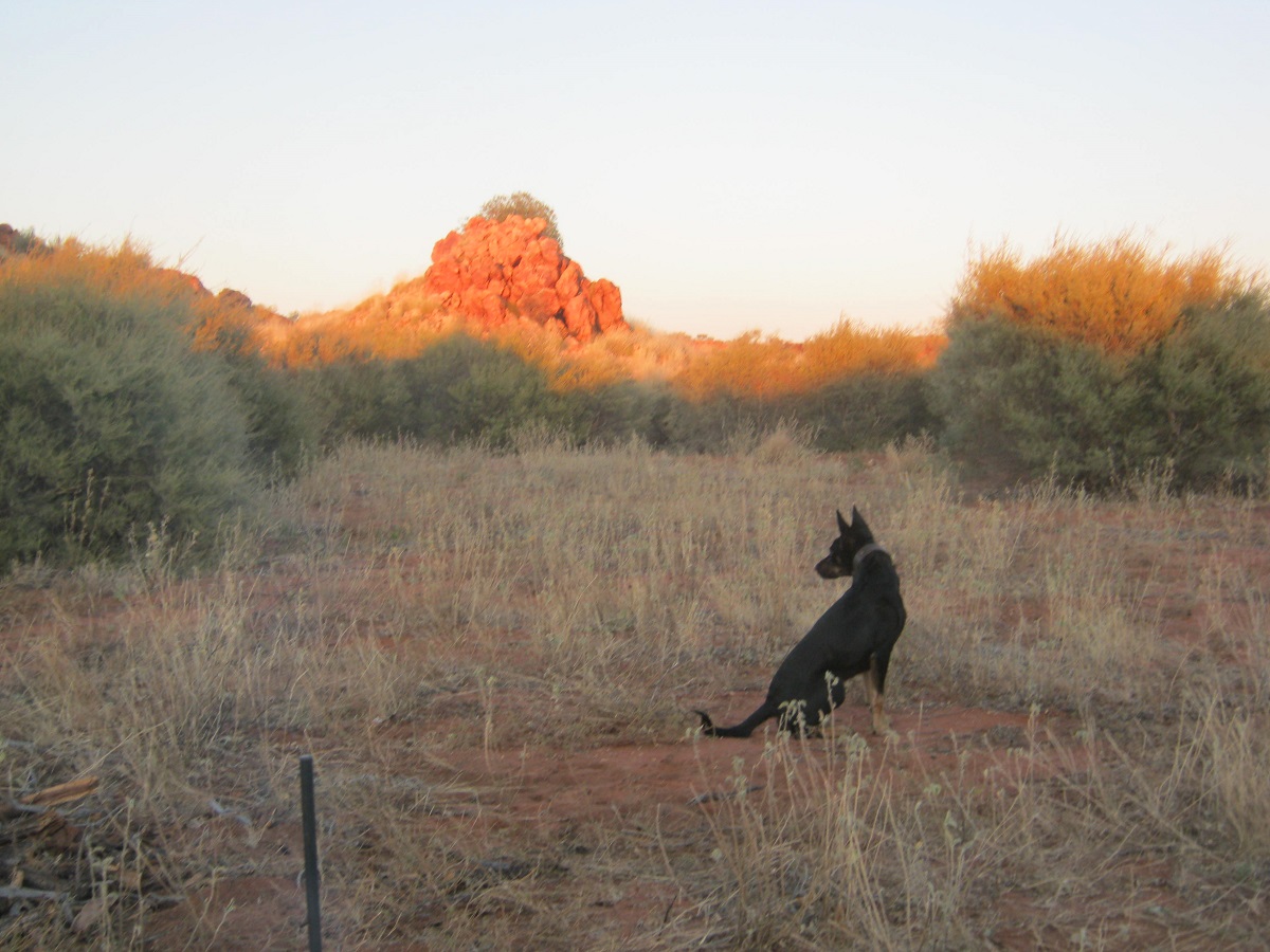
Lylalya Sentinel
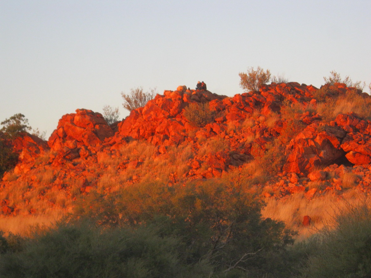
Early morning sunseekers
Apart from the ancients and the current Traditional Owners of the land, I presume that not many visitors have been to this place. The Government Surveyors have been as there is a Benchmark about one hundred metres from the well. Not much has been written about O’Grady’s Well but no doubt others have been to this very isolated place

Bench Mark FL 29
I took a direct line back to the Ethel Creek track extension by following a latitudinal dune. The inevitable punctures ensued on the way out. We actually managed to drive the eighty one kilometres in a day which is a feat in itself and camped on the north side of some hills close to the connecting track. It was the only place we had seen all day that was devoid of the prickly Spinifex. We all needed to clear the chassis rails and bash plates underneath the vehicles from accumulated seeds and grasses so as to prevent possible fires starting. I had a stick come up and dislodge my speedometer cables and this had to be repaired as well. I got some expert help from one of my fellow travellers.
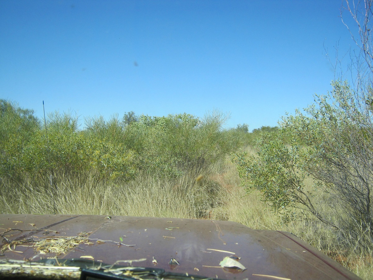
Finding a way out

Open vista
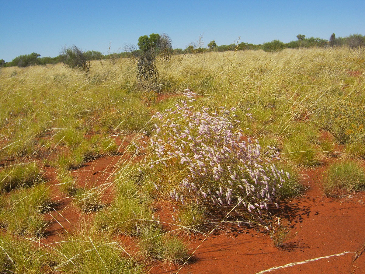
Purple Mulla Mullas
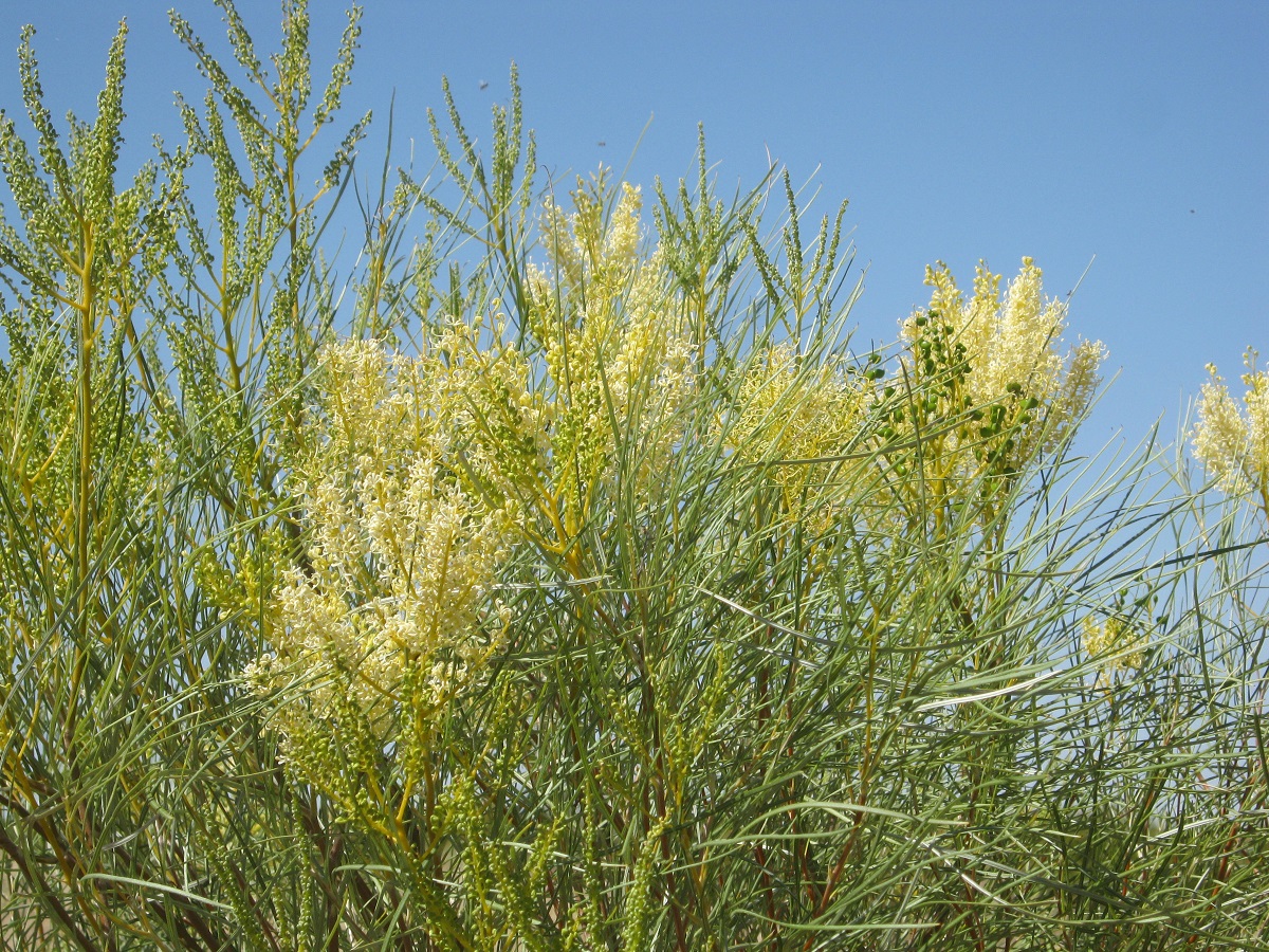
Grevillia
Highlights of this camp were seeing a meteorite pass overhead in the early morning, a Dingo visiting the camp and a family of Camels who came close to the camp. The latter drew the attention of the young Kelpie dog which had accompanied us on this journey and they moved away from the barking menace to better pastures.
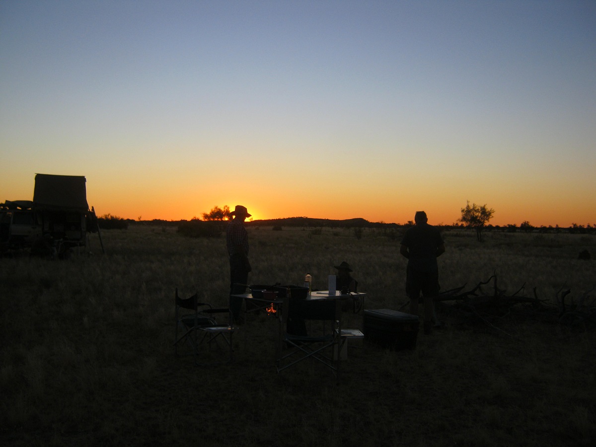
Travellers silouette
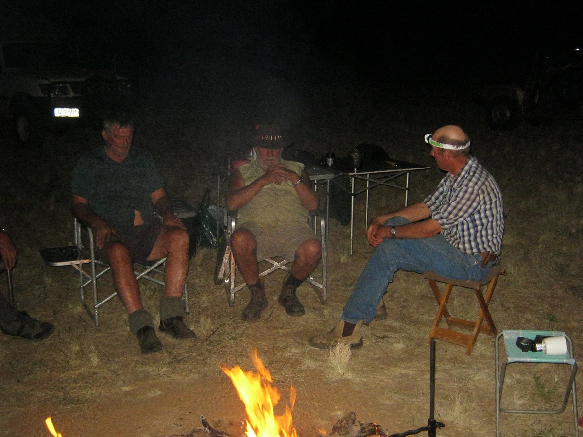
Campfire yarns
We bypassed Alice’s Camp and then took the ‘graded’ road south. This track was put in by the exploration company working in the area. Having no track shown on my digital mapping I took the left for at a road junction and this turned out to be the wrong one and we all had to return to the main track. We had smoko in the shade of some Mulga trees on the side of the track. The countryside in early spring is a garden with so many plants in bloom. We were supposed to actually see Mount Nicker along the way but all I could see was a low hill in the distance. That must have been it. At Emu Bore, also shown on the map as Nirrippi, we took the track that eventually meets the Desert Road at Sandy Blight Junction. We had asked the Traditional Owner we had met at the store at the beginning of the week, for permission to use the track and he gave that permission. The track goes dead straight for a long while and then it uses the swales to wend its way around the dunes. Obviously the dozer driver got tired of this and made some short cuts over the dunes and we had some fun getting across them. I found an open area near some hills and we settled in for lunch.
Eventually after 138km on my speedo we reached Sandy Blight Junction. This track name was given by Len Beadell, Outback Surveyor and Atomic Road Builder as at that point he had Sandy Blight. This health issue is called granular conjunctivitis and is a contagious, chronic inflammation of the mucous membranes of the eyes. It is characterized by swelling of the eyelids, sensitivity to light, and eventual scarring of the conjunctivae and corneas of the eyes.
It was late afternoon and there was nowhere suitable to camp near Sandy Blight Junction until I saw an old road-works quarry marked on my mapping about two kilometres up the road towards Kintore and that is where we camped for the night. We soon rustled up some firewood from the nearby scrub and those energetic enough for some exercise chopped the wood into shorter lengths.
The following morning one vehicle and its occupants left the group to return to Alice Springs while the rest of us drove on to Kintore for a refuel and a new adventure.
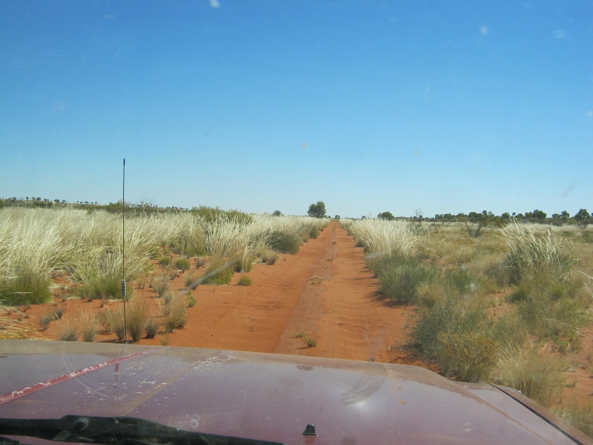
Desert Track

The Group
The Datto’s Last Ride 2014
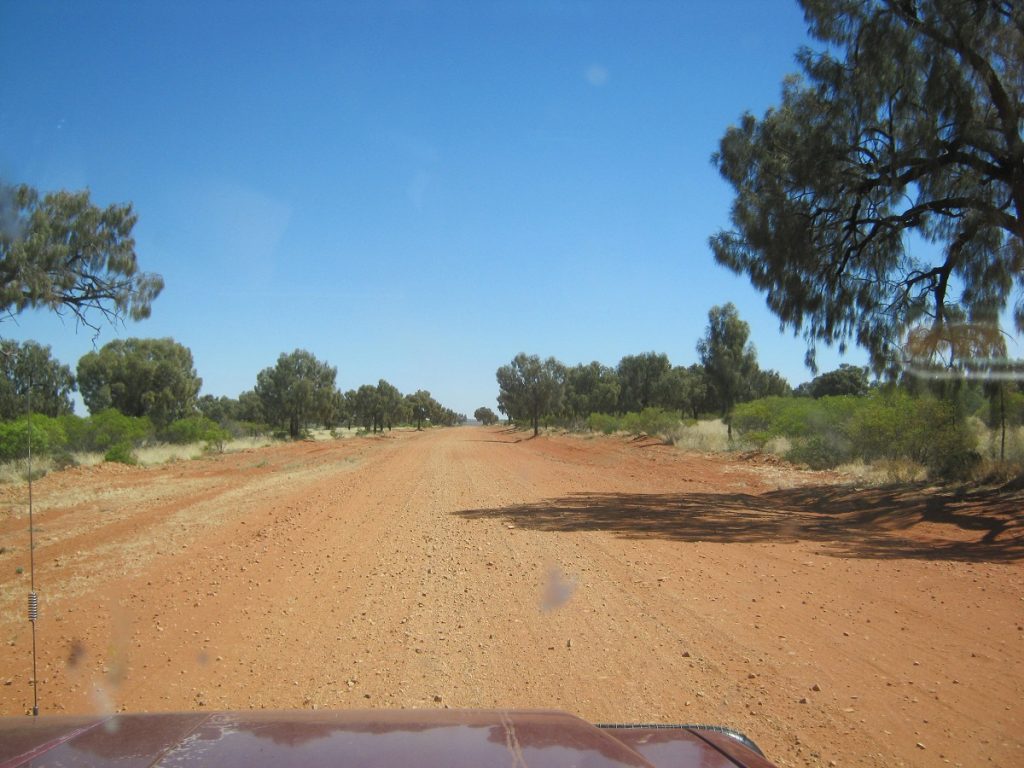
The Desert Road
On this adventure I promised to take those with me to the most remote rock-hole in the whole of Australia. Initially I was going to approach this place from our position out from O’Grady’s Well and across the NT/WA Border north of Lake Mackay, but I was refused permission to do this by the Central Land Council. So we had to go the long way around via the Desert Road and the Kiwirrkurra/Balgo Business Road (as it is called). I explained to the other participants that this would be a hard and sometimes rough trip and that it would test their mettle. And test it, it did!
We set off towards Walungurru/Kintore Community along the Desert Road from our previous night’s camp in an old roadworks quarry. The 25km journey did not take long and we arrived shortly after the Community Store opened to fill our fuel tanks and to buy some munchies from the well stocked shop.
While we were there we were approached by the Manager of the Renal Clinic by the name of Noel, who invited us over for a cuppa tea and a look around the Renal Facilities which have been provided there by private enterprise to accommodate patients who need regular dialysis. Noel gave us the background of the enterprise and him and his wife’s work there. All very enlightening and interesting.
We managed to tear ourselves away from our new found friend and were on the road again by 11 o’clock. The necessary photos were taken at the Northern Territory / Western Australia Border where there was a plaque by Len Beadell, the famous Outback Road Builder.
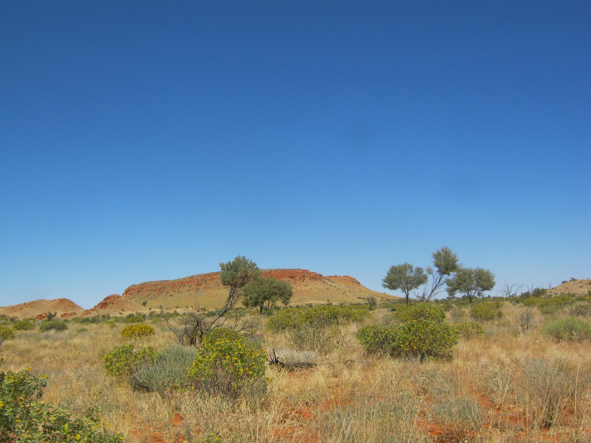
Mt Webb
At Mount Webb, about 100km further west, we took a faint track to the north which eventually leads on to the Wirramanu /Kiwirrkurra Business Road. This latter road was put in in the early 1990’s when the Outstation Movement was taking place. It was to provide access to a number of Outstations and a link between the communities. It is seemingly only used once or twice a year when sport carnivals are on for the desert communities. It is becoming more popular with a number of tourists using this link track during the winter months. But the visitation is still low judging by the overgrown state of the track in places.
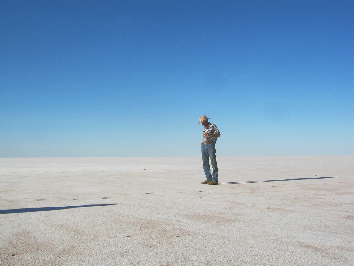
Contemplating Lake Mackay
The track runs for around 55km from the Desert Road via the southern shore of Lake Mackay / Wilkinkarra to a water tank with a hand-pump which is known by travellers as Dwarf Well but by the Indigenous Owners as Marruwa. Once on the ‘road’ it is graded and some of the dune crossings either capped with clay or sandbagged. This has no doubt been done to facilitate easier access for mining vehicles. Close to Lake Mackay the road swings away to the east while the track heads north and then northwest past the shores of Lake Mackay. We duly got out and had a walk on the hard white salt surface of the lake. Then I had to change a tyre as I had staked it with a large and very sharp piece of Mulga. I decided to make for Dwarf Well Tank. The sun was in our eyes for most of the way and this made driving difficult but we made it to our destination just on 7pm as the sun set. Nobody has been here or at least used the place for a while. The pump still works and the bath is still there
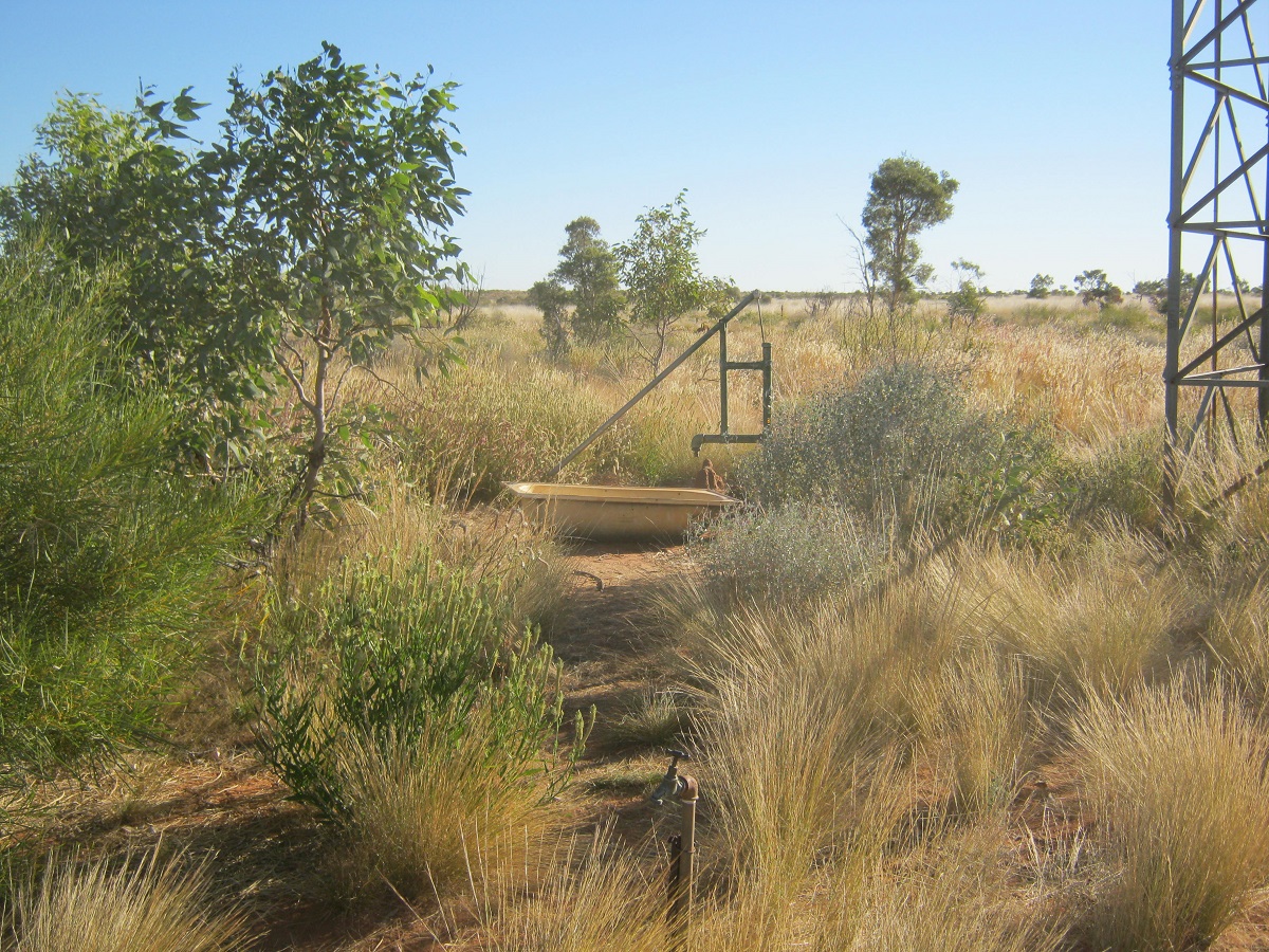
Handpump and bath
Here we had a day’s rest to catch up with small mechanical repairs, tyre repairs, the washing of clothes and our bodies and for general relaxation. The time was well spent. I decided to have a snooze in the afternoon and soon after, Wylie the dog, jumped in the Datto and curled up next to me. One of the jobs we did whilst at the Tank was to pick up all the accumulated rubbish left by passersby and burn and then bury it. I found an old engine dipstick lying in the bush and used it to clean away seeds that were stuck between the radiators.

Dwarf Well Camp
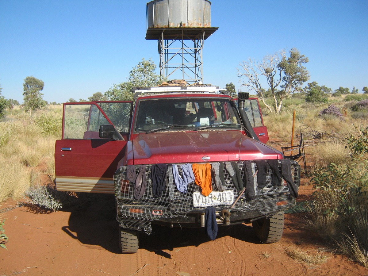
Washing day
We set off the next morning to drive the track for about 12 kilometres and then to veer off along the southern side of a sand dune to look for the original Dwarf Well as I had the co-ordinates given to me by a fellow desert traveller. At a clay-pan we got out for a walk around and a look and discovered relatively fresh bicycle tracks and camel tracks on the surface of the pan. Were they travelling together or were the tracks just a coincidence. Some people take unnecessary risks in the deserts and on this track even though there is water available at relatively regular intervals. Internet research comes up with a name of Eddie Mittelette, a Frenchman, who does research on Indigenous Languages, and rides his bicycle everywhere. It could be his tracks.
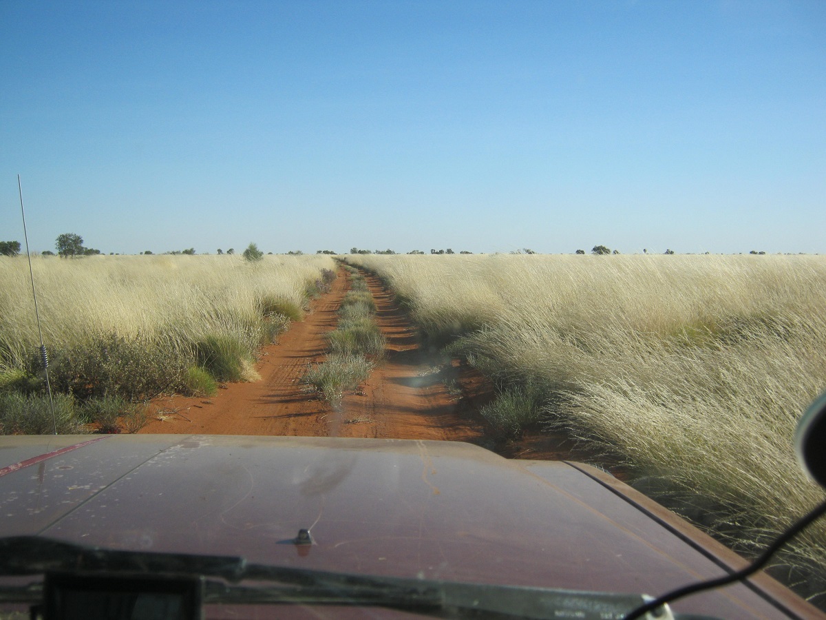
The track north
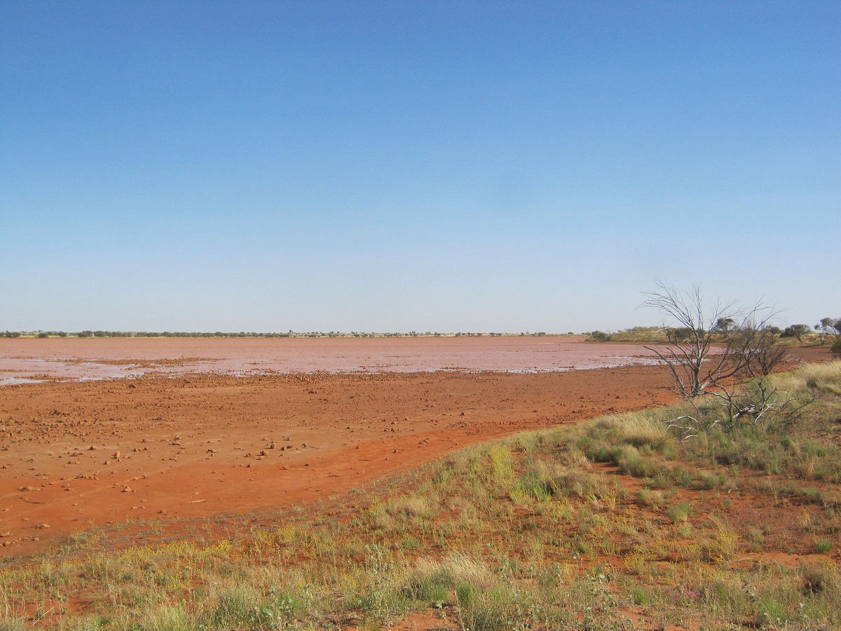
A wet clay-pan
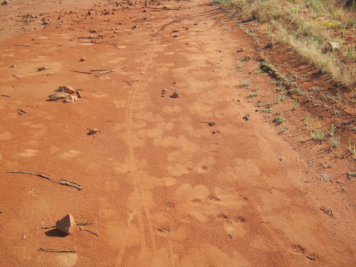
Bicycle and Camel tracks
I swung the nose of the Datto almost due east from the clay-pan and headed out along a track in the general direction to a waypoint on the map, which would be the ‘original’ Dwarf Well. From the outset the going was rough with the Spinifex Grass clumps seemingly getting larger as we moved along. Every now and then there would be relief in an area which had been burnt earlier in the year and with new regrowth. Eventually we found what we surmised was the ‘original’ Dwarf Well which has fallen in through lack of use.
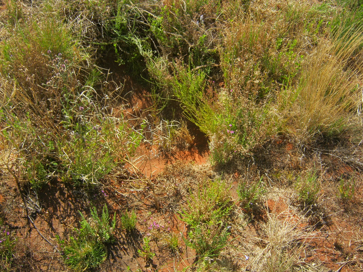
Dwarf Well
I took a bearing on Labbi Labbi Rockhole of 38 degrees. It was hard going all the way. Spinifex, Mulga, Grevilleas, shrubs, trees, and bushes barred our path. I recall driving this way in 2008 but then the countryside was in drought and the foliage was sparse. Now, after three years of very good rains during 2010, 2011 and 2012, the flora has increased in size and density. Driving at a slow speed I remarked over the radio that there was a carpet of small flowers amongst the grass tufts and almost drove straight into a beautiful freshwater lake. It is normally a dry clay-pan but now it was a small lake with ducks, waterbirds and parrots in abundance. My name for this place was Surprise Lake. We had to drive around it. The flora was magnificent around the lake. Too soon we were back in the unrelenting Spinifex and lots of small anthills as well and I hit a few. A little further on I found a reasonable clearing free of Spinifex, to stop for the night. We had covered 81 kilometres for the day which was quite an achievement. Today we saw two magnificent Bustards and a mob of Camels.
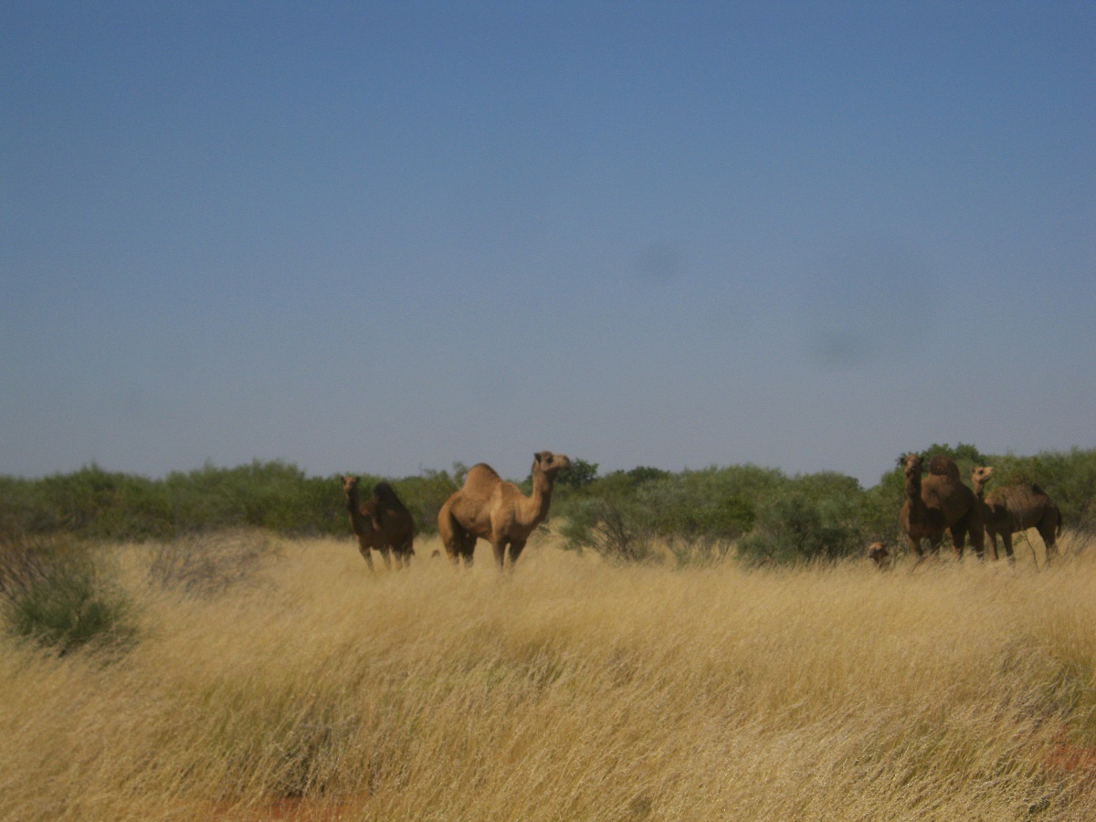
Camels closeup
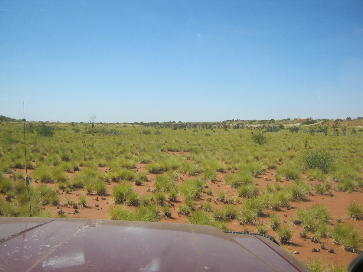
An open patch
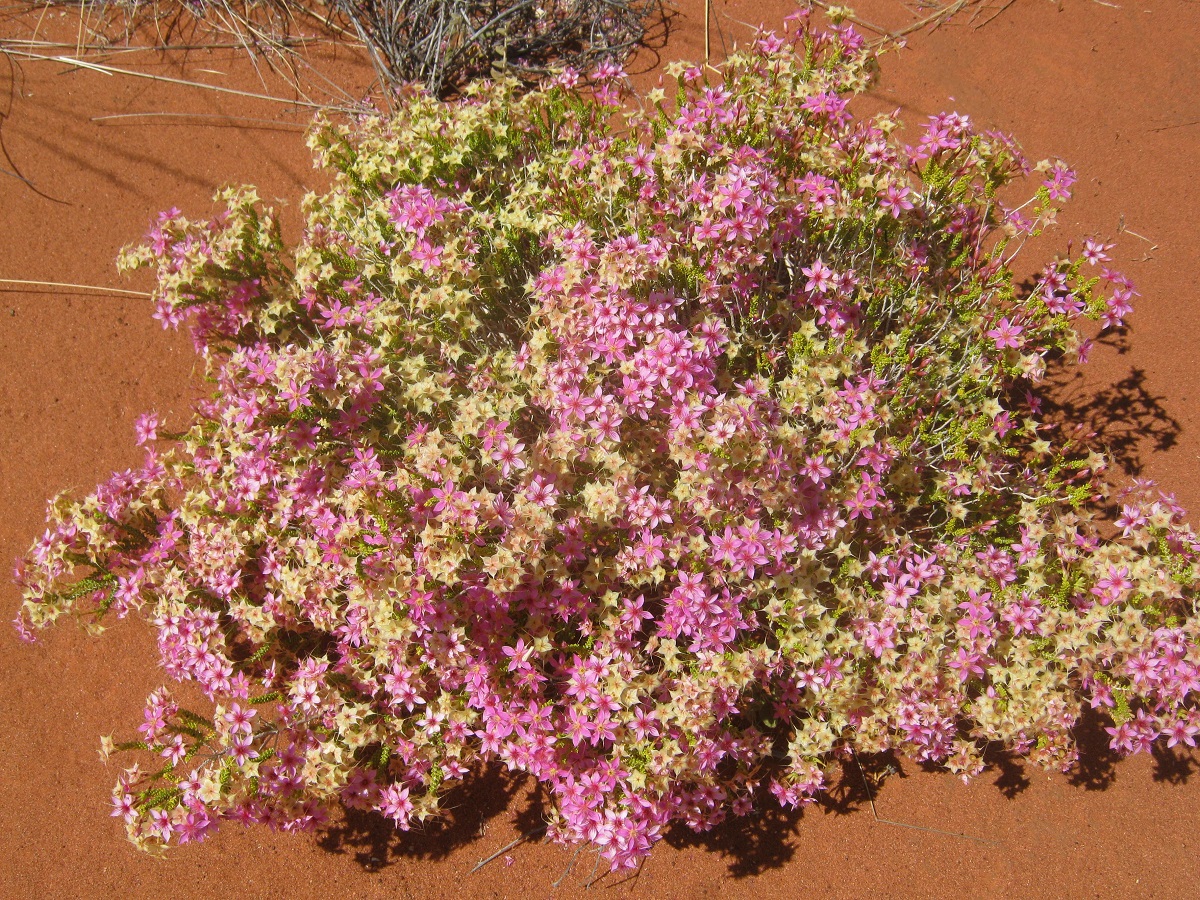
Desert flowers
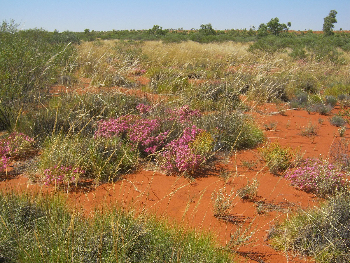
Hard going
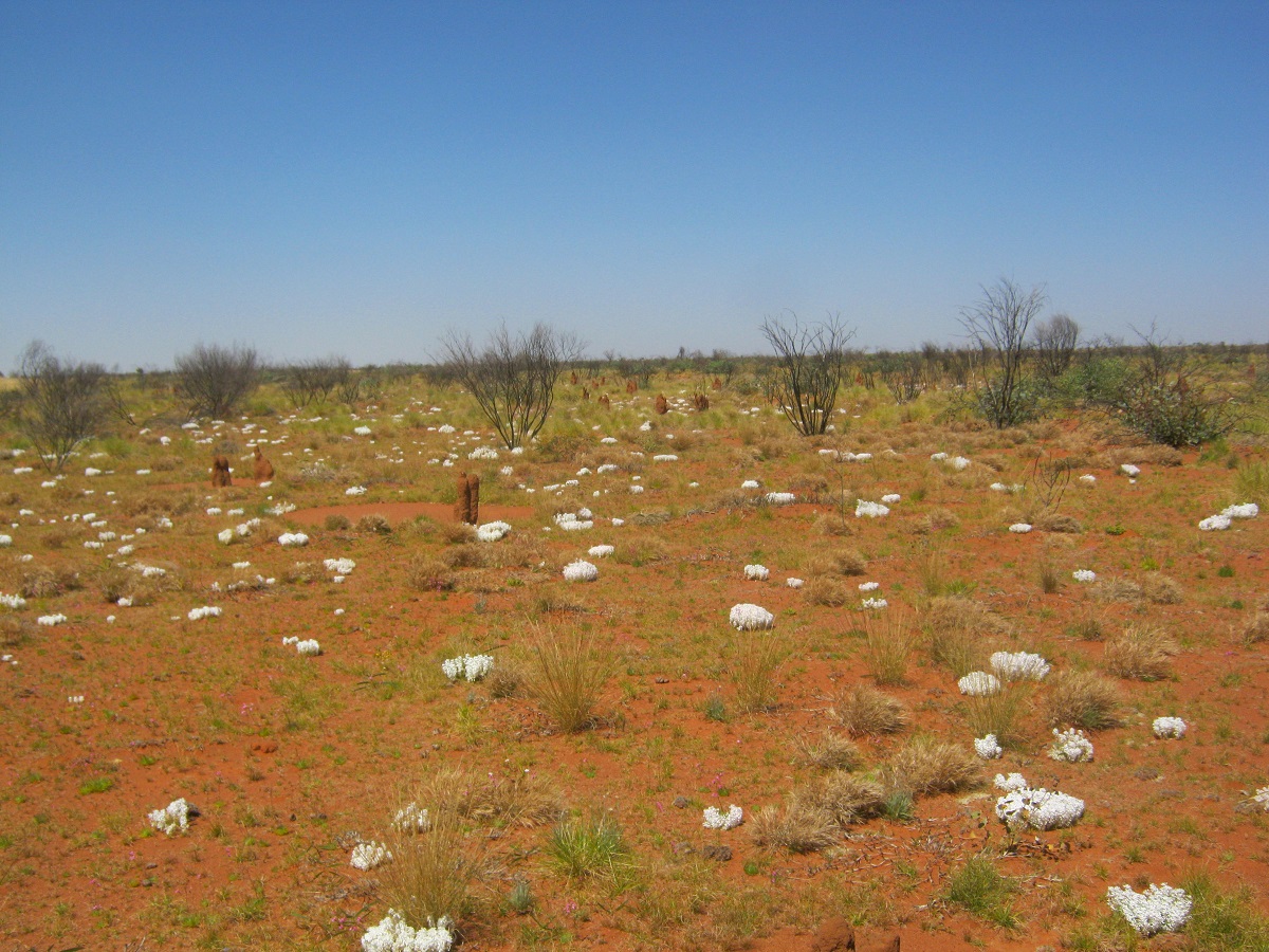
Spinifex flowers
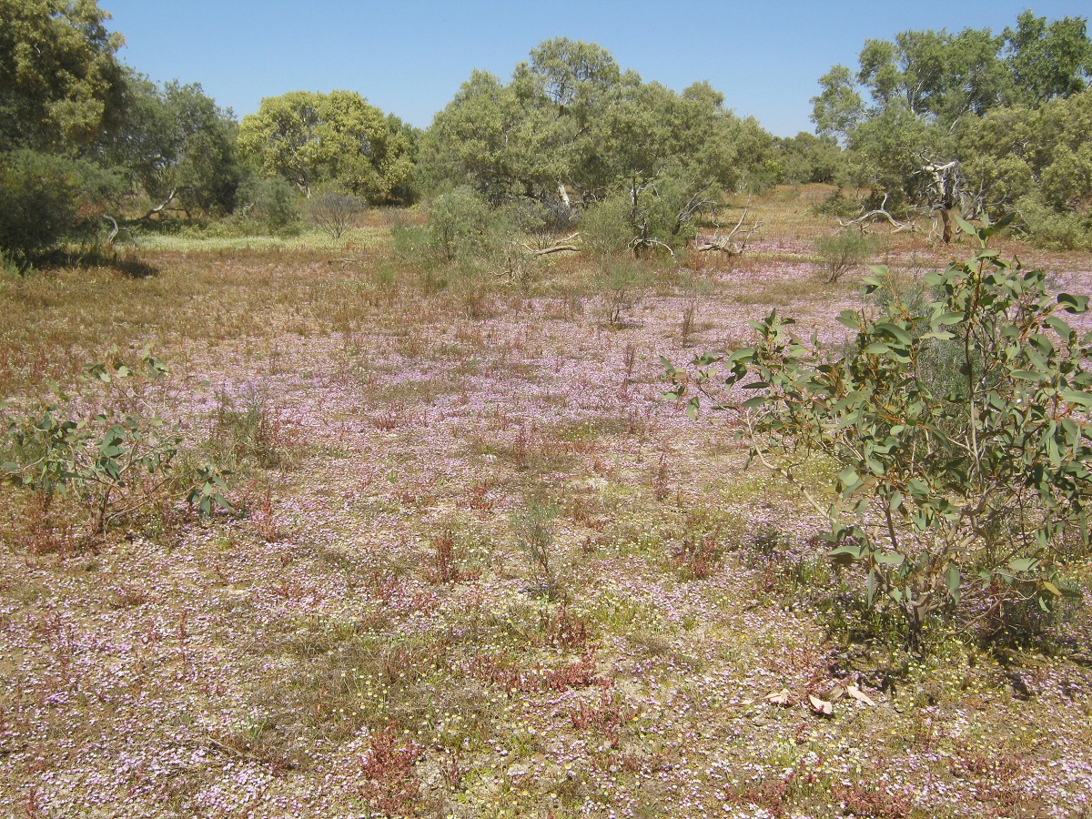
Kaleidoscope of colours
-
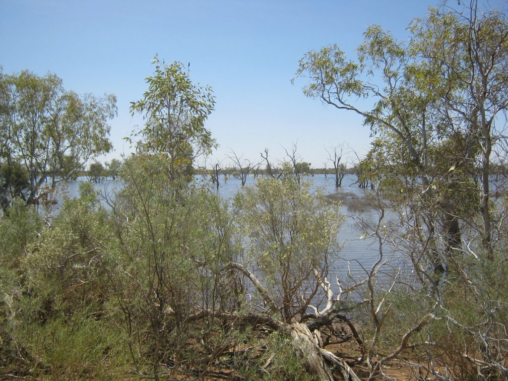
Surprise Lake
- Out of camp by 8.35. A hard drive with the vehicles overheating at regular intervals. During one of the interludes waiting for the engines to cool down, I found a cool breezy refuge on a granite hill.

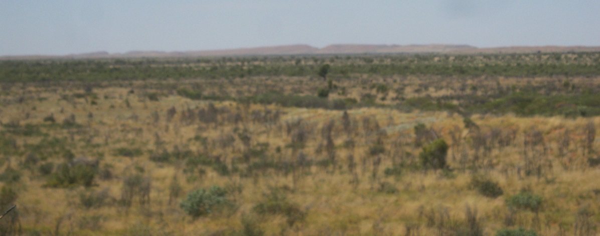
Alec Ross Range in the distance
We had lunch there and a general discussion which way to go. As per usual I was given lots of advice, which, on weighing it up, did not sound feasible and so I ignored that and made for another hill through some burnt Mulga. That resulted in more punctures and unhappy travellers. Then I found another granite hill and then had to drive around the ridge trying to find a suitable route to get down again.
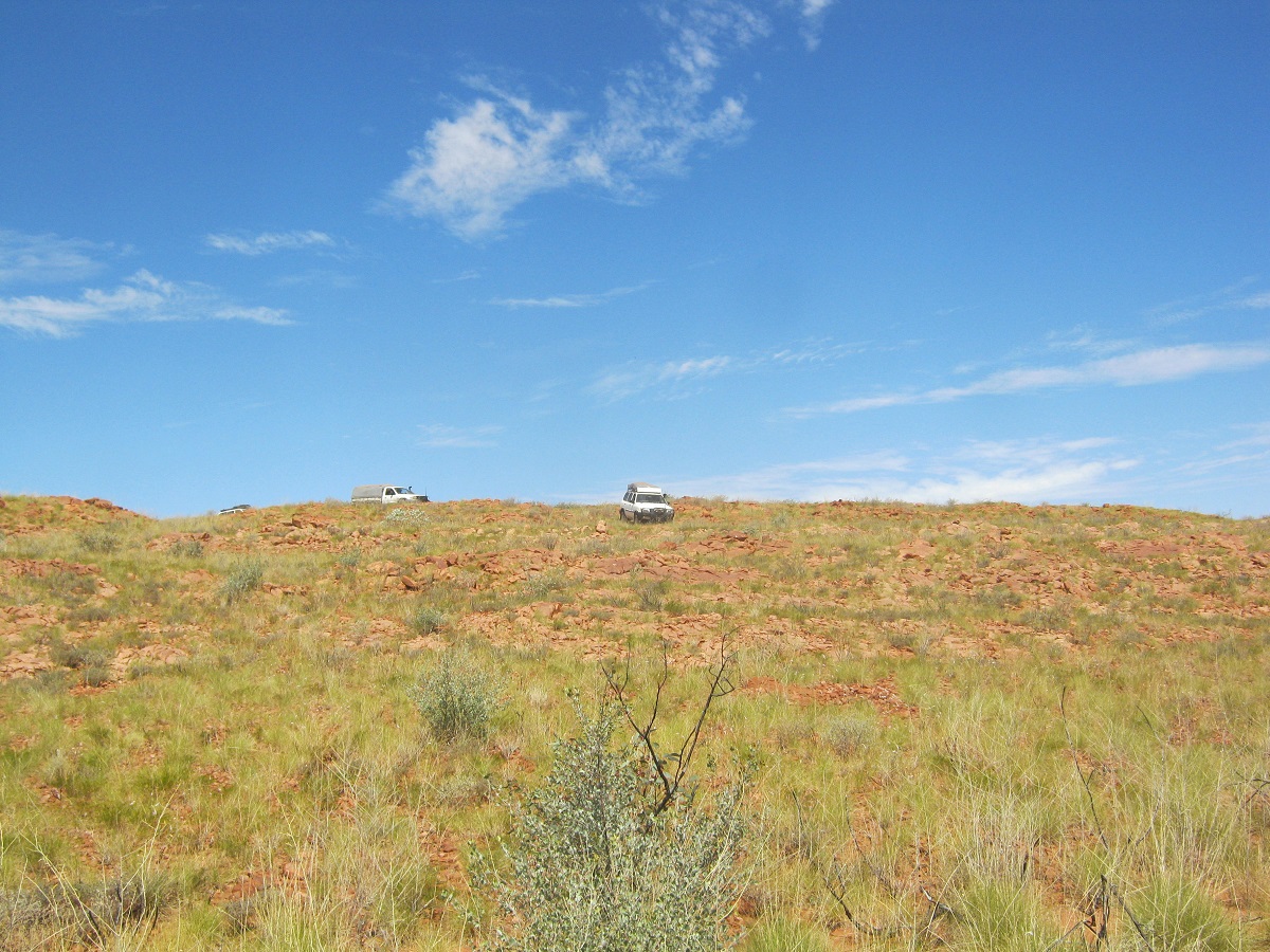
Coming down the ridge
Then there was another a short Mulga stake run and three small sand dunes and we were at an ancient clay-pan. I had seen the pan coming up on my digital mapping and was pleased to find it completely dry and hard and, although it was only 2.30pm, I decided that we should camp here. We each found a shady tree to hide from the sun and there was enough dead wood lying around to fuel our fire for the night and morning. I refuelled and made some phone calls and went for a walk on the clay-pan and found stone age implements lying on the margins of the pan. One of our group found a Zircon shard. Today we had less punctures but only managed to drive 24km.
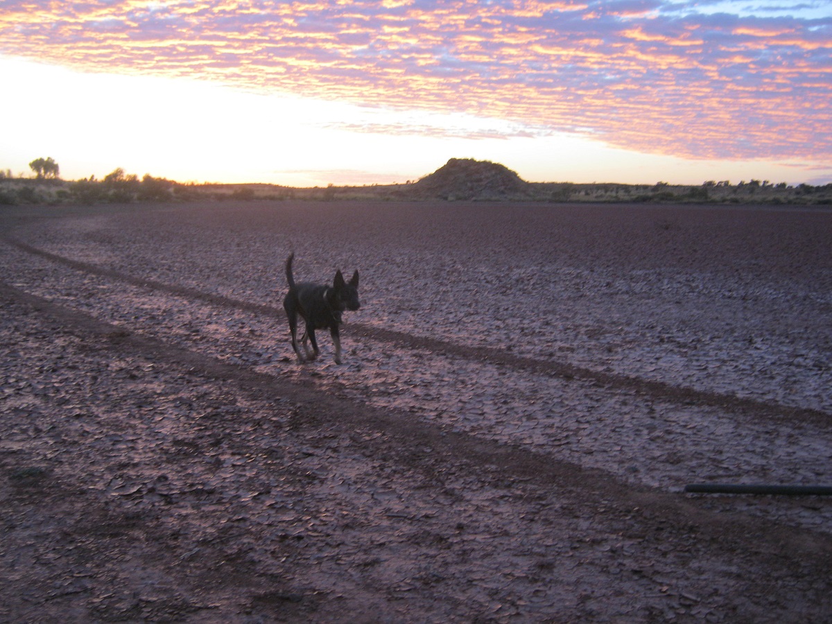
Early morning Clay-pan Camp
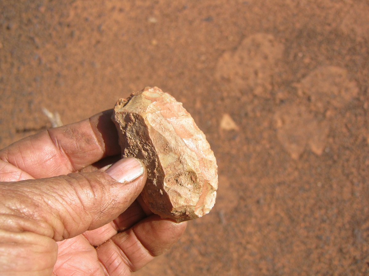
Stone Age Knife
Stone Age Knife
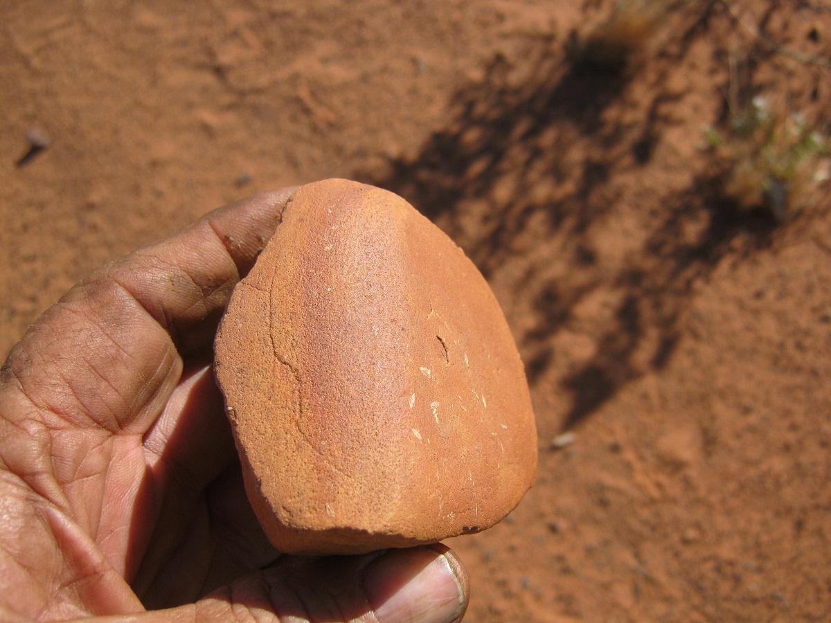
Grinding stone
Grinding stone
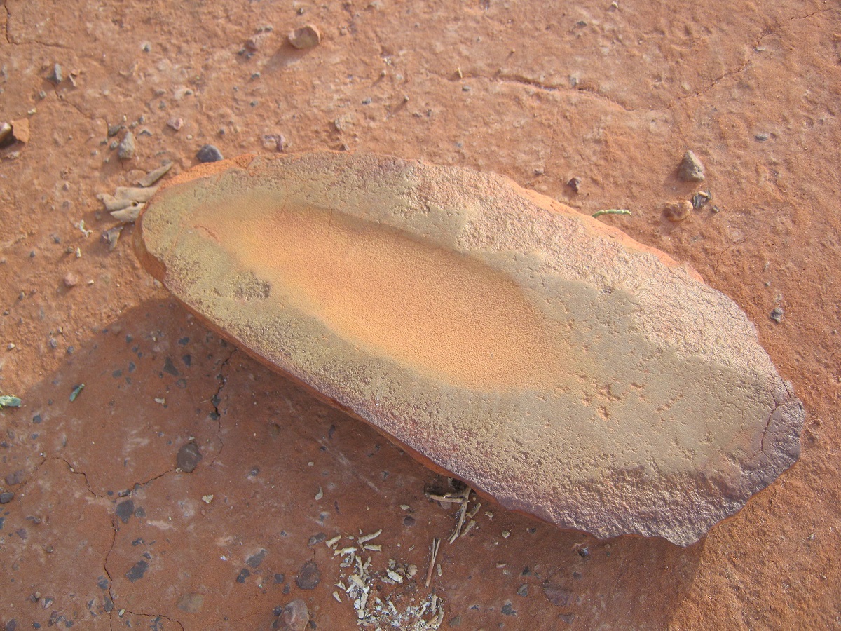
Stone Age Grinder
Stone Age Grinder

Zircon
The next day cloud cover shielded us from the relentless sun. Out of camp by 8.30. We had a good run for a short while and came across another lake clay-pan. Saw two bustards again. Wondered of they we following us? After that there was some good country, then some bad and then some really rough country. At one stage I got out of the Datto, tripped and fell into a Spinifex clump. Ouch! We did a number of dune crossings. I ran up quite a few without getting over and then had to resort to finding a better crossing. We did 48km for the day. Wylie the dog got left behind by accident at one stop. It was a mad rush about 2km back to find her. She was trotting along our tracks. The day was overcast but the engines still got hot. We had 13 punctures for the day. I found a clearing in the Spinifex at 4.30pm and called a camp. We had had enough! We were now 15km from Labbi Labbi Rockhole in a staight line.
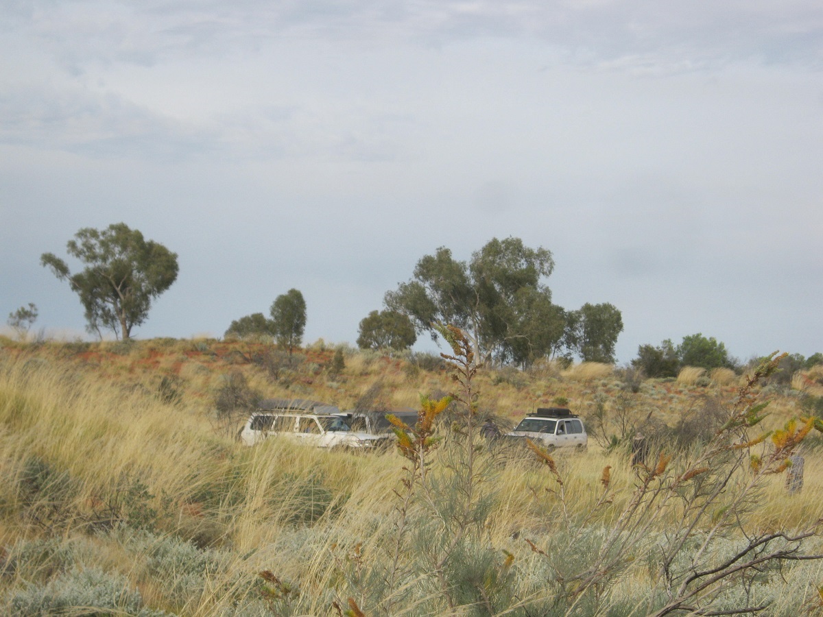
Overgrown country
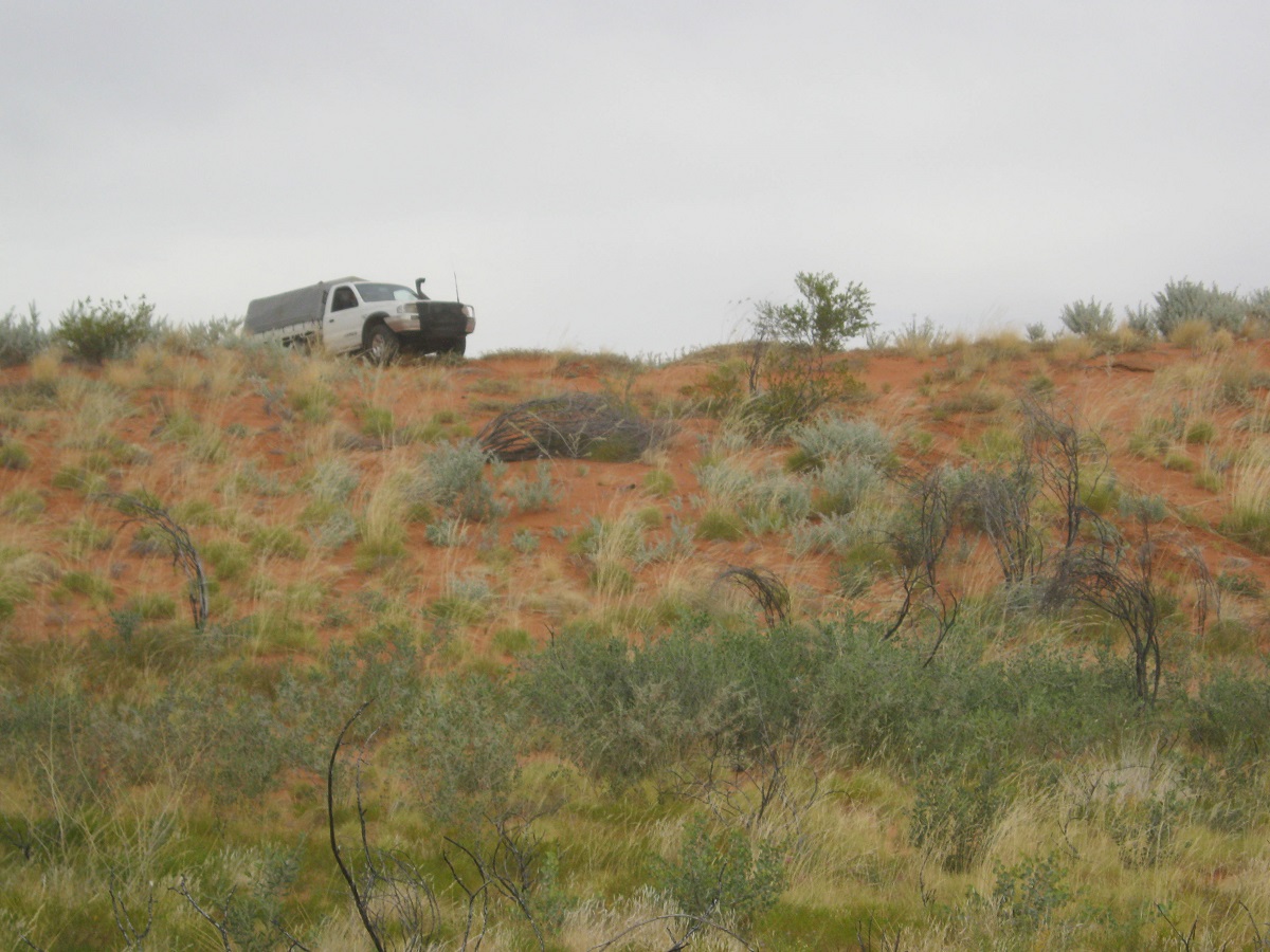
Cresting a dune
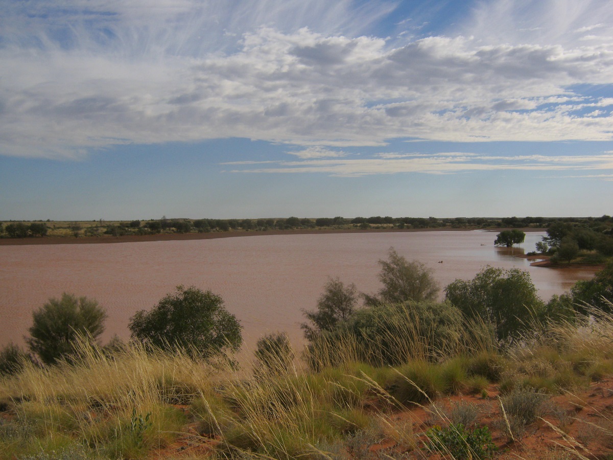
Another claypan lake
We were expecting rain but luckily it didn’t rain. We had journeyed but one kilometre out of camp the next morning when we had the first puncture for the day. What followed was another hard day picking my way through the Spinifex but at last the country opened up as we neared the salt lakes and the fringe area of Lake Hazlett. We crossed Brookman Waters and it was slightly damp but it offered no problems. Then we followed the ranges to the north looking for an easier way through and eventually crossed over them at a low point to come out right on Chugga Kurri, the fabled oasis in the Hidden Basin of the Tanami Desert. I could not see any water in there nor was there any bird life as often quoted by other visitors to the area. The place is well vegetated with a forest of trees on the margins of Nicker Creek and the Ghost Gums and Desert Eucalypts stood out amongst the greenery. Here too the countryside was very overgrown and in trying to cross a tributary of Nicker Creek I managed to hang the Datto up with its wheels in freeplay.
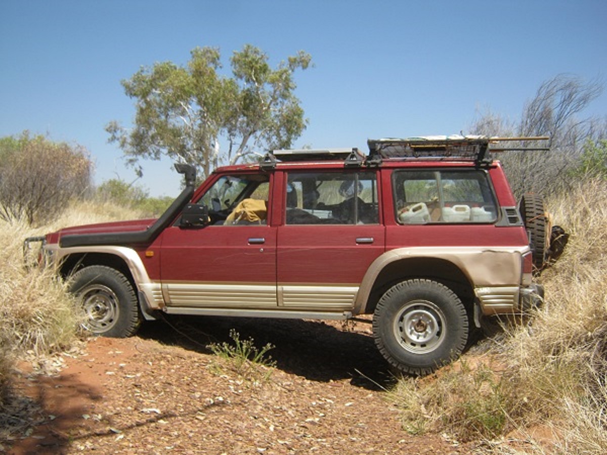
Hung up
This resulted in having to be snatched out of trouble. We crossed many creeks, built crossings, helped each other with snatches and and crossed a small range over the top of it! We arrived at Labbi Labbi at 4pm having driven 35 kilometres for the 15 kilometre straight line distance!
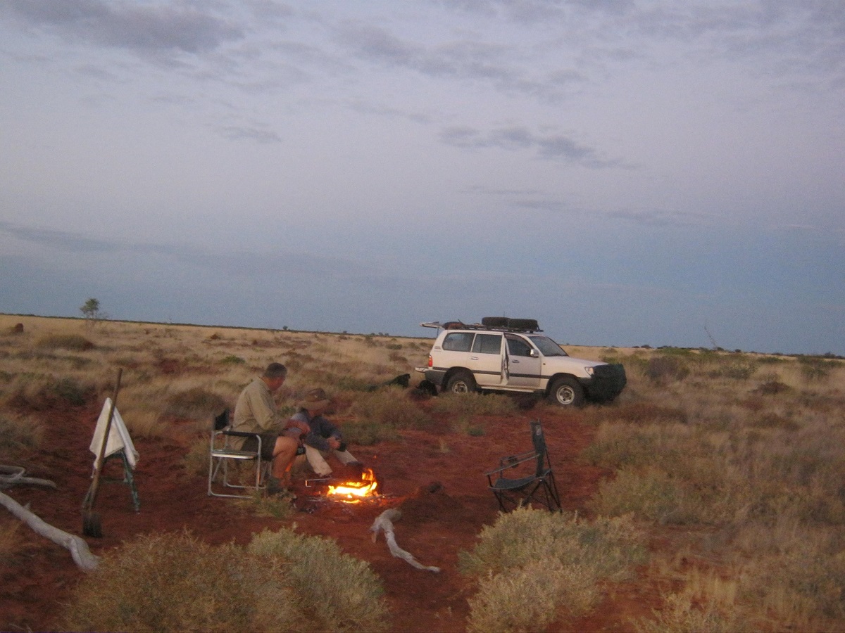
Camp fire in the desert

Chugga Kurri
I walked in to the rockhole with some difficulty and took the bucket with me to pour the cool waters over me. We filled our water-bottles with cool sweet water even though the water has been standing for a while. The good thing about Labbi Labbi is that it is too difficult for camels to access and this keeps the water clear. We watched Firetail and Zebra finches zoom in and out for a drink without taking much notice of us. Everyone except me walked to the cairn on top of the hill nearby and reported that there had been quite few visitors this year according to the notes left inside the bottle, which is preserved within the cairn. Having spent a long time by the waters edge soaking up the atmosphere it took me awhile to walk back to the Datto. We camped in a clearing about three hundred metres adjacent to the rockhole.
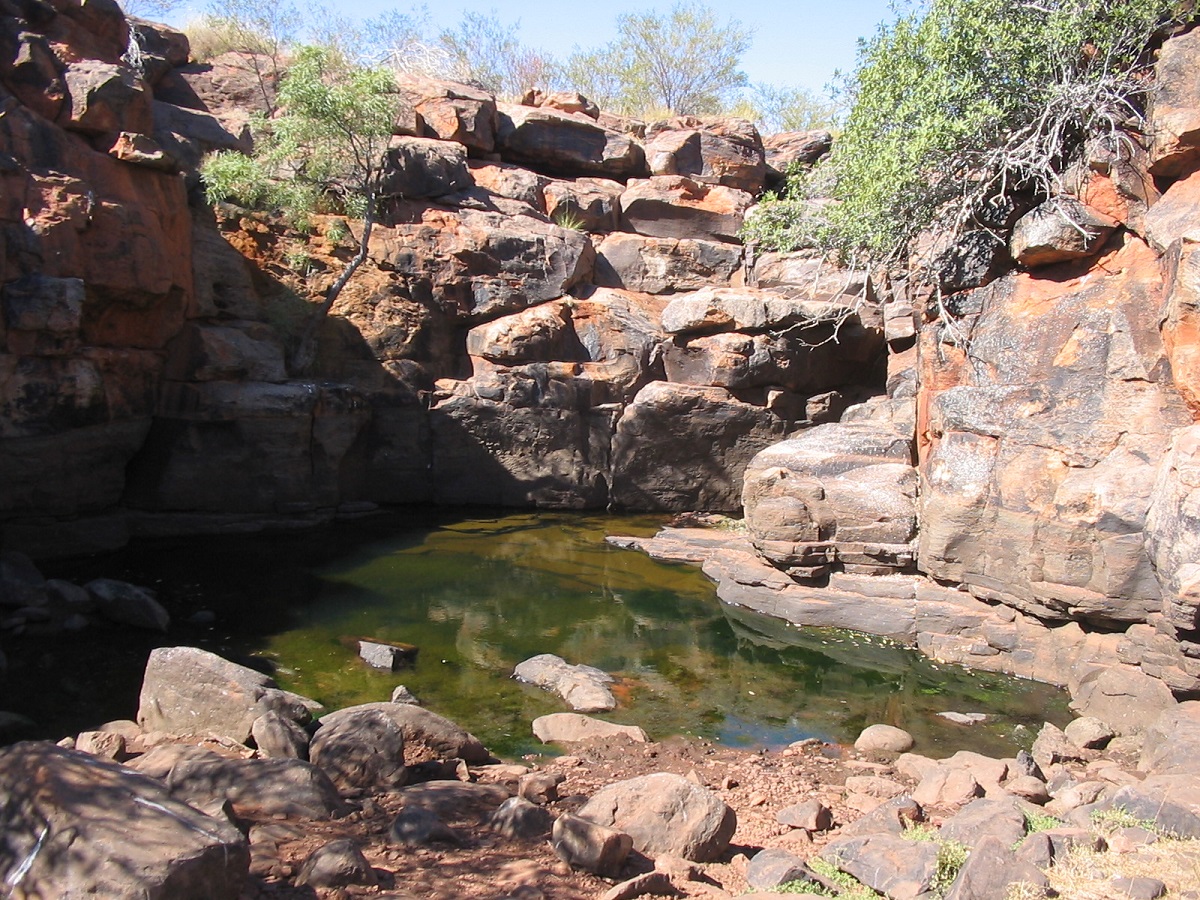
Labbi Labbi
Ancient marking at the entrance to Labbi Labbi
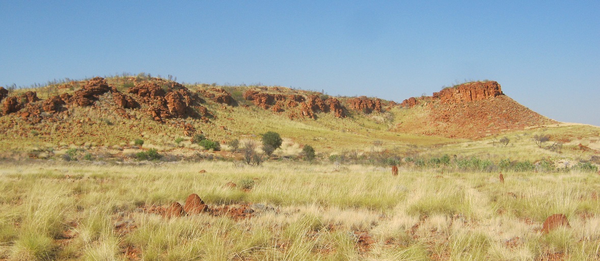
Labbi Labbi sentinel
Everybody did their own thing in the morning. I mulled over whether to go back to Chugga Kurri again to have another look around or to travel north. In the end I decided to travel north but took a track running east from Labbi Labbi thinking that it may turn north after a short while. It didn’t and we turned around and drove back past the rockhole and out the way we had come it. Then we took another used track north which took us over the ranges and then into some very dense and tall scrub which I didn’t like at all and then I took my own direction back up on to a low section of the Murabba Range only to be stopped by a dune and some rocks. The day was hot and the Datto was boiling and so were the other vehicles. I had to make a decision whether to try to keep on heading north or return to our morning track which seemed to head back towards Brookman Waters. My decision then was to drive back to our lunch spot. We arrived there just on dusk and made camp for the night. The next day we intended leaving early in the morning and then stop when the cars started to get hot. We had the usual run of punctures for the day and a bush welding job had to be performed on a spare wheel bracket on one of the vehicles.

Welding job
Out of camp by 7.30 the following morning and followed the track apparently made by an expedition driving Earth Cruisers in from Brookman Waters. Along the way I had a puncture and my right hand free wheeling hub got knocked out by a stick resulting in big wallop noises under the front. This had me worried, but no damage seemed to have been be done. We followed another track out from Brookman Waters but soon lost that as it was too faint and heading on the wrong direction for my liking and I set off on my own course in a direct line between the dunes towards a shot line about 60 kilometres to the west.
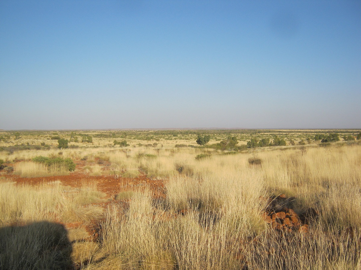
Heading into the Great Sandy Desert
The going was rough with lots of burnt out country from long ago. I had another puncture, my third for the trip. The engines overheated but I eventually found a way on to a range for some cool air and some clear ground.

Unnamed range
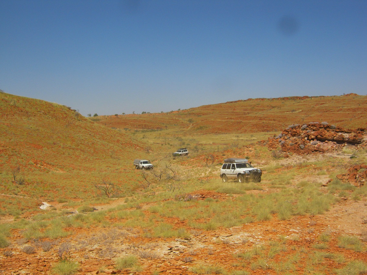
Negotiating the range
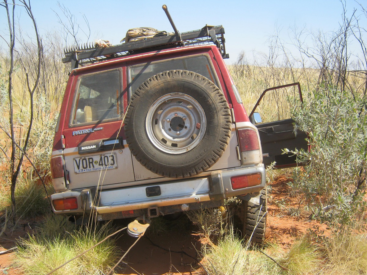
Being winched out of a gutter
On the other side however the Datto fell into a hole which was hidden in the grass. It took two electric winches with snatch-blocks to get me out. The old Datto ran hot all afternoon and the going was rough at times. At 4.30 I spied some trees and found a lovely little oasis with no water, but with lots of wood and clear parking. After finding our respective camp sites for the night I had some help repairing the puncture and then I had a half a litre of water bath, changed into clean clothes and felt better. We sat around the fire for a while after having eaten but were soon in bed asleep as we were all dog tired.
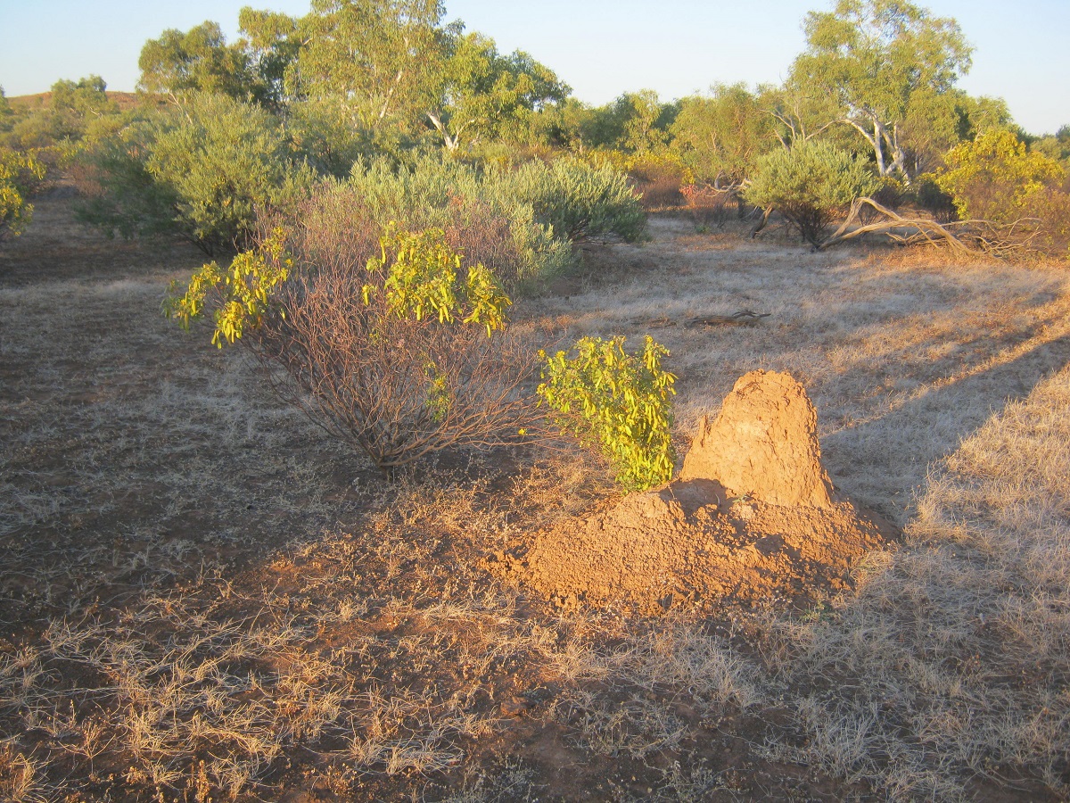
My Oasis
The next day the countryside became easier for a while and not long after starting we came to the clay-pans. Some were dry but I kept on skirting them just in case. Just as I rounded one little point the Datto sank to its bulbar and nearly tipped over. I had to be snatched out backwards. The Datto started heating up again as were all the vehicles.
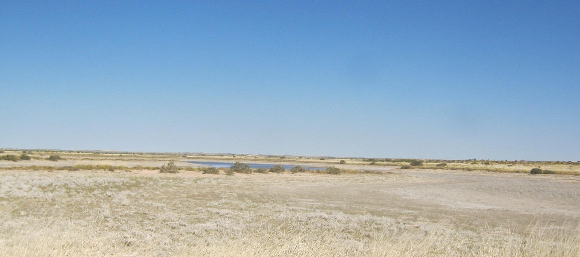
Wet and dry Clay-pans

Wet underneath
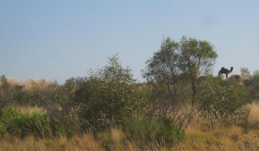
Camel watching
The countryside became badly overgrown.

Approaching

Pushing down
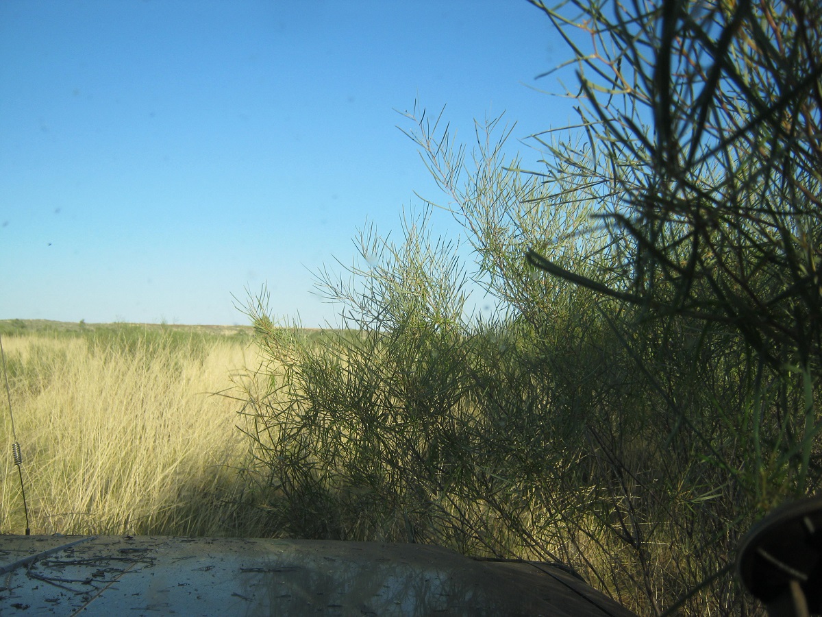
Through
The Datto kept on boiling and there were bubbles coming from the radiator depths and it was decided to put some corrective sealant in. We managed to drive another two kilometres but the Datto boiled again. Then we removed the thermostat and in doing so broke one of the bolts that holds it together. When refitting the thermostat housing the broken bolt was put back with Locktite Glue. We refilled the radiator and took off again but within 2 kilometres the radiator was boiling again. The prognosis was then that the water-pump was not working as the water was not circulating and the crack in the gasket or head was not being repaired by the sealant.
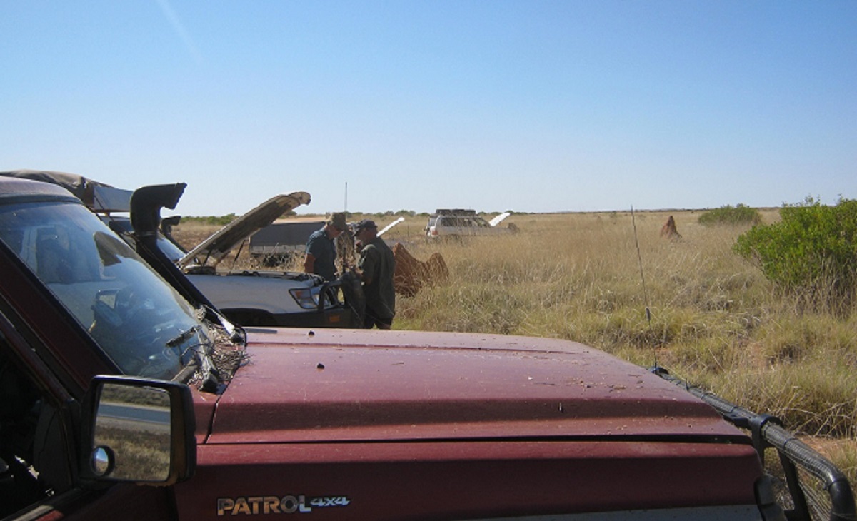
Overheat
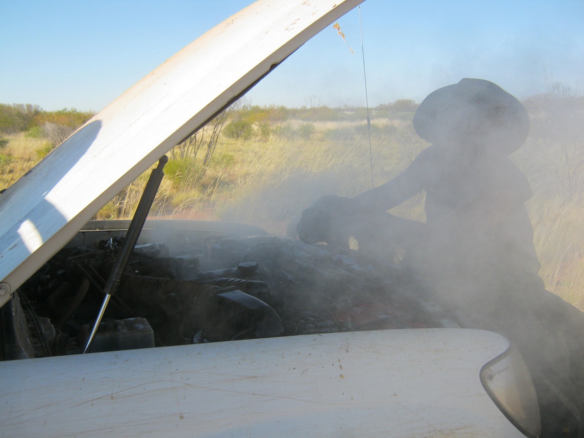
Steam blow
Taking the safety of the group at that stage into foremost consideration and seeing as we were getting low on water, I then had to make the decision to abandon my beloved old Datto and get a lift back out. Luckily there was a spare seat available in one of the vehicles. Others in the group kindly took some of my gear but the greater majority of stuff still rests out there in the desert. We couldn’t consider towing the Datto out as the terrain was too rough and I did not think that it may be feasible at that stage with all the vehicles overheating in the daily 42°C temperatures.
We camped where the Datto stood, clearing a space in the Spinifex to camp and light a fire safely.

I shall go no further

Heading north again
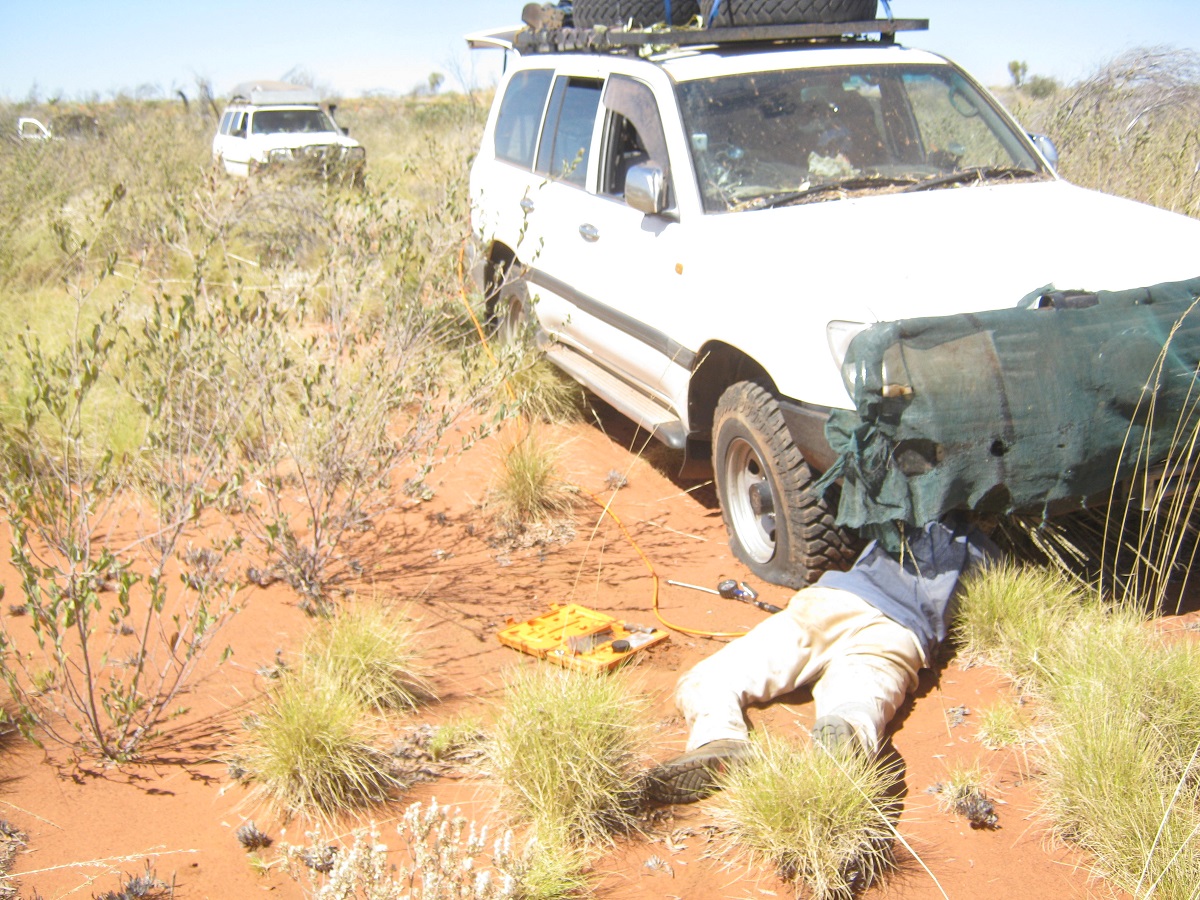
The last puncture
We left camp earlier than usual. The drive out was as hard as the previous days and with about six dunes to cross but we made it to the ‘Business Road’ by lunch time.
At the deserted Lamanbundah Outstation we refilled all of our water containers from the hand pump. It took more than 30 pumps to get the water to rise up the pipe. It was also sweet water.
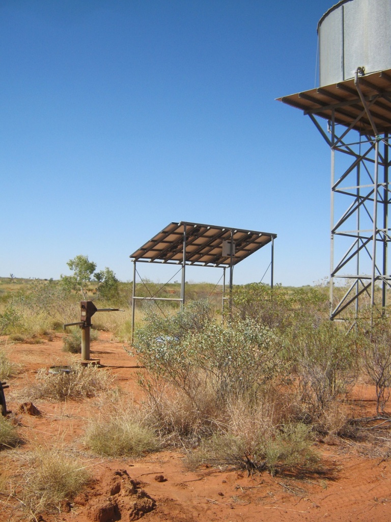
Lamanbundah Hand pump
broken down trailer and bush fires

Point Moody
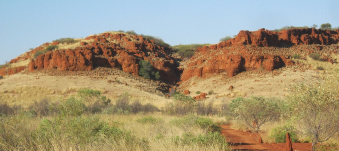
Stretch Range near Yagga Yagga
Next we made for Yagga Yagga which turned out to be 125km away as we took the more westerly road. Bushfires were seen burning in the distance to the northwest and near Walgali Outstation.
Yagga Yagga Outstation is another deserted community with an erstwhile large infrastructure for about 20 houses. There was a large Community Store and a diesel and solar panel hybrid power station. Yagga Yagga was abandoned in 1998 as a result of the Elders of the region deciding that it was a cursed place as there had been no less than eleven youth suicides in a short period of time.
In my visit there of 2009 we counted no less that 120 solar panels still intact at the Power Station. This year there were two left. We camped in front of the ‘Supermarket’ listening to night noises and an expanding and contracting drum with its sonic boom from time to time.
The following morning plugged tyres had leaked air overnight and so puncture repairs had to be done. Some of us went for a walk around the abandoned township. The journey north was across flat country with some dunes but the road had been cut through the dunes to make access to Yagga Yagga easier. Later we marvelled at the spectacular Pallotine Headland as we approached Balgo Wirrimanu Community.

Palotine Escarpment near Balgo
Getting our times mixed up due to WA time being an hour and a half behind Central time and being in the bush for a week the store had not opened yet. But the fuel bowser now has a 24hr credit card operationand this had to be explained to me ask I kept on looking at the wrong side of the pump. We did some shopping and the headed out to the Tanami Road. Once there we said our goodbyes to those who were heading home via Halls Creek and then the last two vehicles took to the Tanami which wasn’t too bad in places. 80kmh was the order of the day. We had a bite to eat at the Lajamanu turn off and then continued on and drove into the night to make up time. There were lots of cattle feeding next to or lying on the road and we had some near misses. We camped on a claypan off the road near Sullivan Well about 10km from Tilmouth Roadhouse

Tanami Road
We had a quick breakfast at Tilmouth Roadhouse and then made it into Alice Springs by 10.30am
The wash up:
I am appreciative of the fact that I have been afforded the privilege to travel across this vast desert landscape with its diverse flora and fauna and human history dating back tens of thousands of years. It was a successful trip but I became stressed with the mechanical problems we encountered and the constant negative comments by some of our group who couldn’t see the wood for the trees and the adventure for what it was. I sacrificed my 4×4 for the safety of the group at that point in time but no one showed much care about that. It was an extremely hard trek exacerbated by the 74 punctures we endured over the 12 days as well as the mechanical issues.
Hindsight:
September turned out to be too warm for desert travel in 2014.
The countryside was far more rugged than my previous journeys out there and that all due to good rain years.
Tubeless tyres are not good for cross country driving
Conclusion:
I will go and rescue my Datto during the winter months
Self
We got home from Alice Springs in the Xtrail packed to the hilt. After a couple of weeks she suggested that I had to buy another car asI was cramping her style by using her car all the time> So the next time we were in Adelaide we went car hunting and found a 1993 Nissan GQ Ti petrol/gas. That was a mistake. The car was clean and tidy and it ran well.
We needed to go to Tweed Heads again to look after Mother’s affairs again but Christmas and New Year were spent at home as we normally do. By now I had my pain under control to a certain extent but it would become evident that more would be needed and in the new year I started taking Tramadol, which is an opiate.