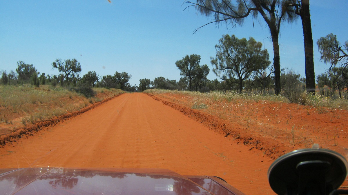
New road in from the south
I first drove this iconic track in 1978 in a Suzuki Ute and about 106 years after Ernst Giles and his party explored this region on horseback. Eighteen years have now passed since I drove this way last. We were then employed contributors to the Discover Australia by 4WD books, which were published by Random House Publishing, and needed to write up places to visit by 4×4 in the Northern Territory.
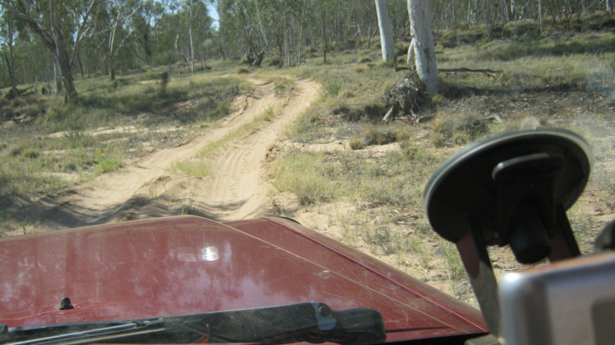
Now, at Rodgers Pass, on the Ernest Giles Road, at around 12 noon, I swung off to the north along a graded track which winds its way across station and community lands until it reaches the Finke River. This was a far cry from the bush track that straddled some sand dunes and clay-pans all that time ago.
The track reaches the river at Running Waters Yard. This is a pretty spot with Couch Grass growing on the river banks and a variety of waterbirds gracing the river margins. I have been here a number of times and the billabong has always had water in it. Only a few posts are now left of the old yards and I surmise that the timbers have been pilfered over the years by campers, for firewood. The land is part of Henbury Station, which has been in the spotlight in recent years due to a controversial Northern Territory Government Project about Carbon Farming.
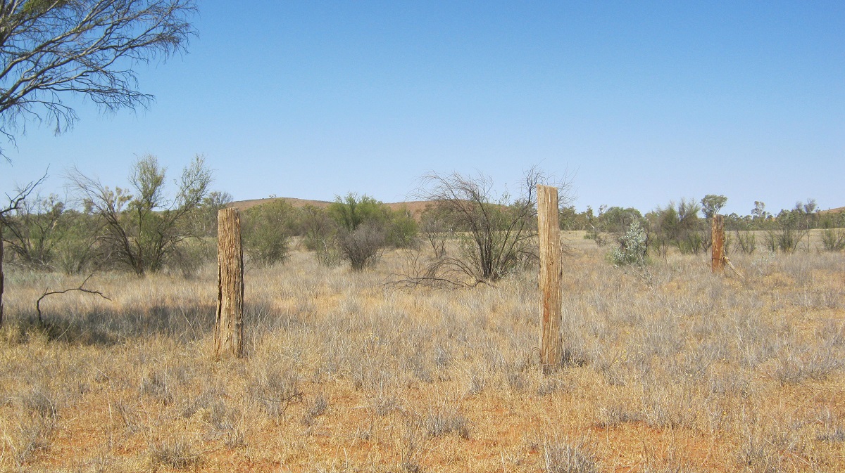
All that is left of the Yards
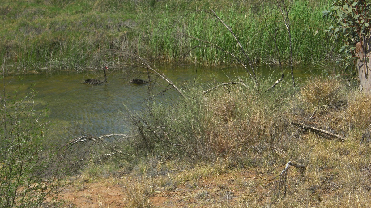
Black Swans
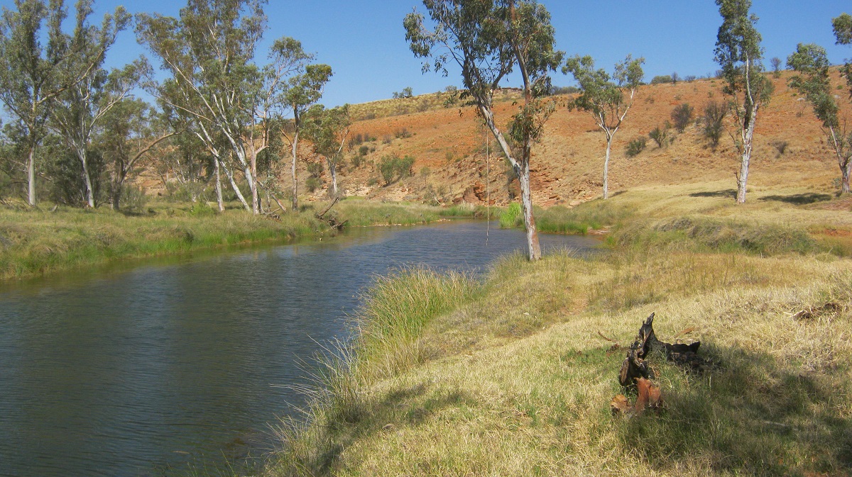
Running Waters Billabong
The real Finke Gorge Track starts at Running Waters Yard and runs for a distance of 44 kilometres to the Hermannsburg Community Township. You need to have a high clearance 4×4 for the journey. According to the National Parks and Wildlife Service, it is unadvisable to tow a trailer along the river track but in my opinion it shouldn’t be a problem as long as the driver is experienced in towing on soft sand.

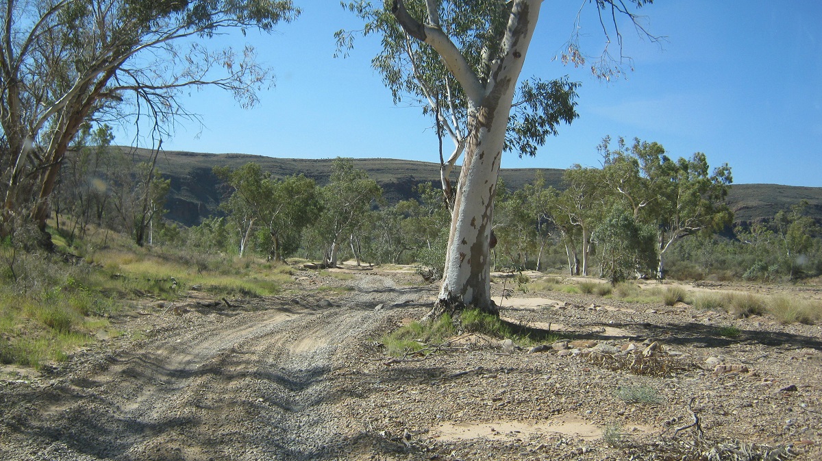
Rocky Bar Crossing
The Finke River has its’ headwaters in the MacDonnell Ranges and is fed by the Davenport and Ormiston Creeks. It was so named by John McDouall Stuart after William Finke of Adelaide, who was one of the promoters of his exploration journeys, to find a route through the centre of Australia to the Arafura Sea. The river is called Larapinta by the Western Arrernte Indigenous People and has been a part of their Dreaming Tracks for as long as they can remember. The Finke River is regarded as one of the oldest rivers in the world as it has cut its way through mountain ranges dating back to the Devonian Period in our world’s history. It is normally a dry river but with numerous permanent water holes or billabongs which support a variety of inland fish and crustacean. They are Hardyhead, Purple Spotted Gudgeon and Desert Goby, Hyrtles Catfish, Desert Rainbowfish, North West Glassfish, Barred Grunter, Spangled Grunter and Boney Bream.
Finke Gorge Track
The Finke River flows through the southern part of the Northern Territory and eventually floods out into the western top half of South Australia and disappears into the Simpson Desert. In times of extreme floods though it will join up to the Macumba River and eventually its waters will reach Lake Eyre.
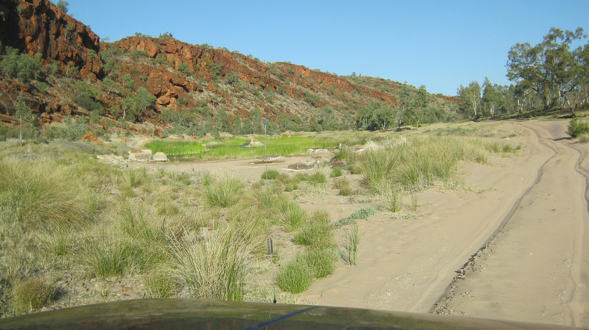
The Finke Gorge track meanders northwards, winding its way in and out of sandy and river-stone beds. A few kilometres before reaching the Finke Gorge National Park boundary a sign indicates that you should collect firewood before entering the parks as collection with in the park is not allowed. I did just that as flood debris of a time ago had accumulated around the trunks of trees close to the middle of the river. A sign also states No Pets and so I wondered about the 5 camels I saw just a short way in to the park.

Feral intruders
Finke River Track
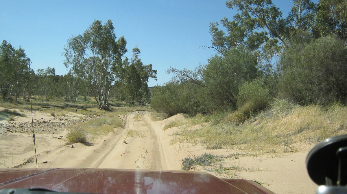
A sandy section
It is unclear where Boggy Hole derived its name from. The Western Arrernte People knew it as Alitera. In 1889 a police camp was set up to control the ‘hostile’ activities of local Aborigines. On the eastern bank of Boggy Hole, you’ll notice the stone remains of the first camp that was established by Mounted Constable William Willshire. The camp was abandoned when he was arrested for the murder of two Aborigines in 1891 near Tempe Downs.
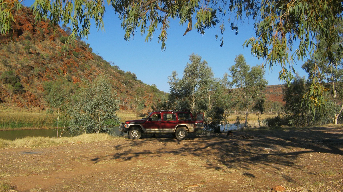
The afternoon sun beat down through the windscreen on me as I made my way slowly over the rough terrain in and amongst the river gums and flanked by the red walls of the gorge. Arriving at Boggy Hole, after a four hour journey, and a distance of about 23 kilometres, I was keen to cool off in the green waters of the billabong. My thoughts of a swim were dashed when I broke the surface of a slimy black mud which oozed out a gaseous smell and I abandoned my attempt. It took a while to clean up the rank mud from my legs.

Boggy Hole
Boggy Hole Camp
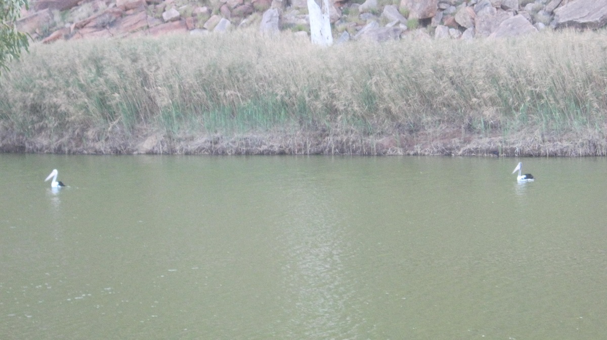
Pelicans a long way from the sea
As I had the whole of Boggy Hole to myself I settled down to cooking a stew and drowning a few icy cold beers whilst cranking my favourite music up that pulsated from the four speakers in the Datto, whilst Pelicans, Inland Dotterels and Honeyeaters took scant notice of me
I was busy cleaning up after my meal, just on dusk, when I had a feeling that there was something happening close to me. I turned around to find another 4×4 parked right next to me under the rivergum. A younger fellow got out and came towards me with his lips moving. Of course I had the music so loud that I could not hear any other sounds. After turning the noise off it turned out that this bloke was a tad lost and entirely out of his depth in 4×4 matters. He had taken the advice of the local Hermannsburg Policeman where he had sought information about camping somewhere and had been directed to Boggy Hole. His 4×4 experience was minimal and he was relieved to find another traveller as he had struggled to get this far with his Toyota Camper.He stayed where he was parked, about 3 metres from the Datto, and over the course of the evening I was regaled with his life story. Ho Hum……
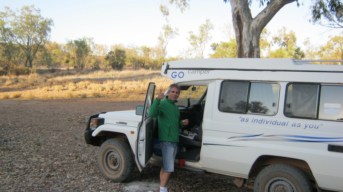
Camp intruder
I slept on the other side of the Datto, so if my neighbour snored during the night, I did not hear him. I had to erect a tarpaulin over my bed though, as the moon shone so bright that it was almost like daylight outside. It was dead quiet apart from the faint night noises of some water birds far away. Then I slept soundly until a gust of wind sprang up in the early hours of the morning dislodging my tarpaulin tie-downs. I wearily dragged myself out of bed to tighten the ropes.
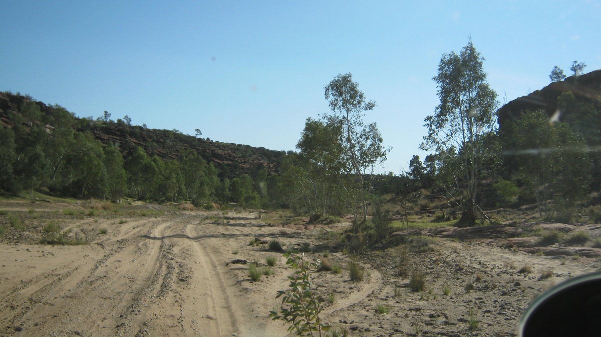
After breakfast the next morning my neighbour decided that he would follow me out as I seemed to know what I was doing, according to him. I made sure that his tyre pressures were low and mine were even lower but my tyres were not really compatible with soft river sands. The tyres were cold and not pliable and at one stage I was in low range first gear pumping diesel smoke to get to the other side of a long sand-drift. But I made it!

Soft sand
Serious sand

Finke River
The early morning light showed up the vibrant colours of the gorge as we made our way past reedy and open river sections. The sand decreased and the riverbed was covered in round river stones. Further north a much clearer waterhole looked as if it was swimmable but the early morning was too fresh for that.
It took exactly an hour and a half to negotiate the 21 kilometres to the Hermannsburg outstation on the banks of the Finke River where I bid farewell to my overnight neighbour who was going on to other adventures.
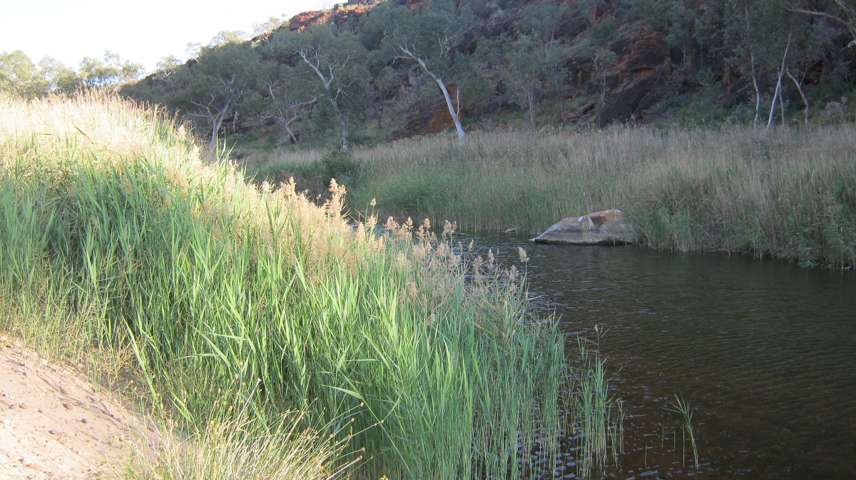
River reeds
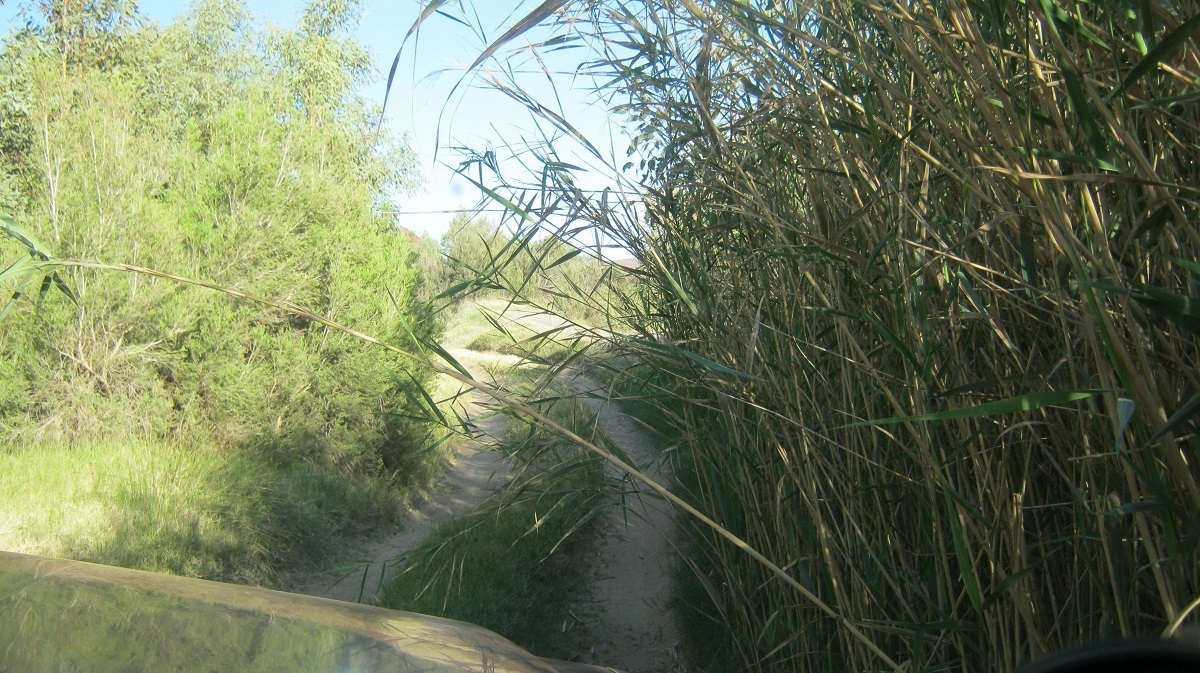
Squeezing through
Driving out of the gorge
My mapping showed tracks that I could not find on the ground and so I drove up to a house in the scrub to ask the way to Wallace Rockhole Community, my next destination en route back to Alice Springs.